Top 20 Natural Monuments around Andreis
Best natural monuments around Andreis are found in Italy's Friuli Venezia Giulia region, nestled within the Friuli's Dolomites nature reserve. This area is recognized for its natural value, offering geological wonders and diverse landscapes. Andreis is situated in the Valcellina valley, surrounded by mountains and characterized by significant geological formations like the Periadriatic Fault. The region provides opportunities to explore mountains, valleys, and unique geological features.
Best natural monuments around Andreis
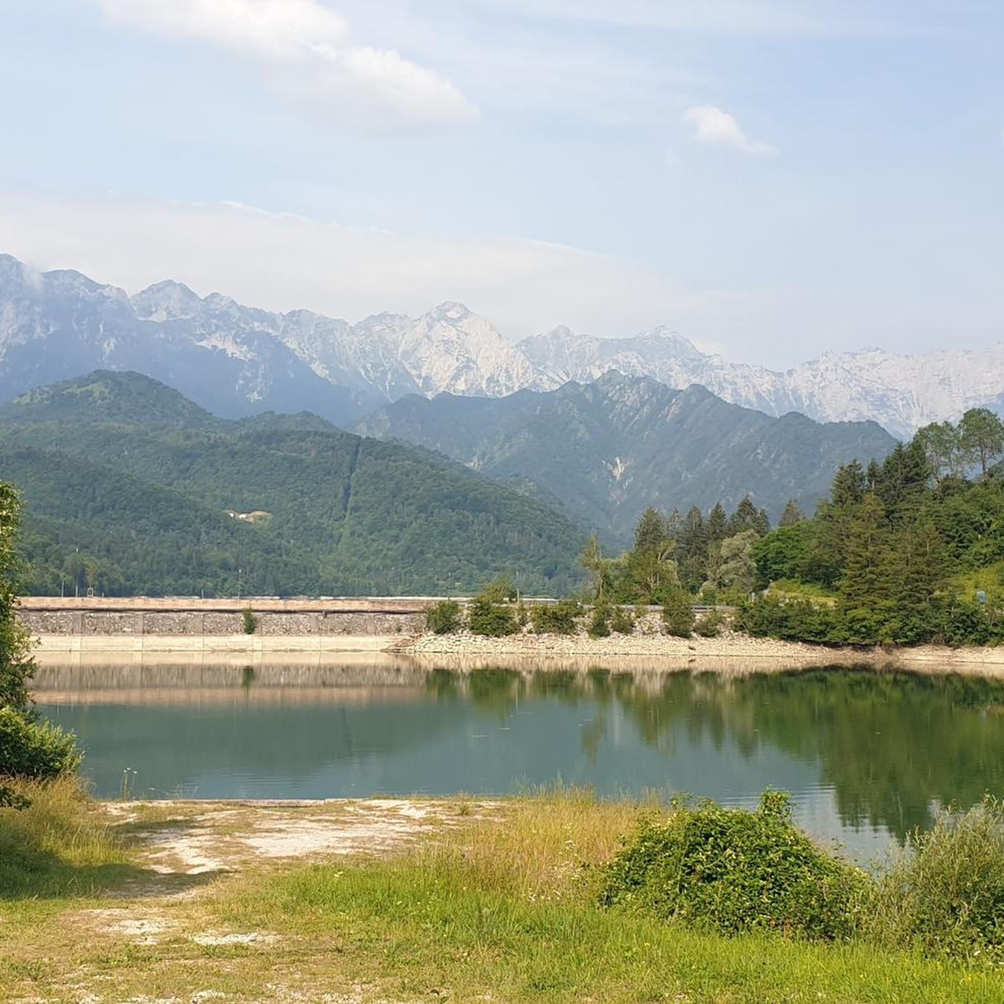
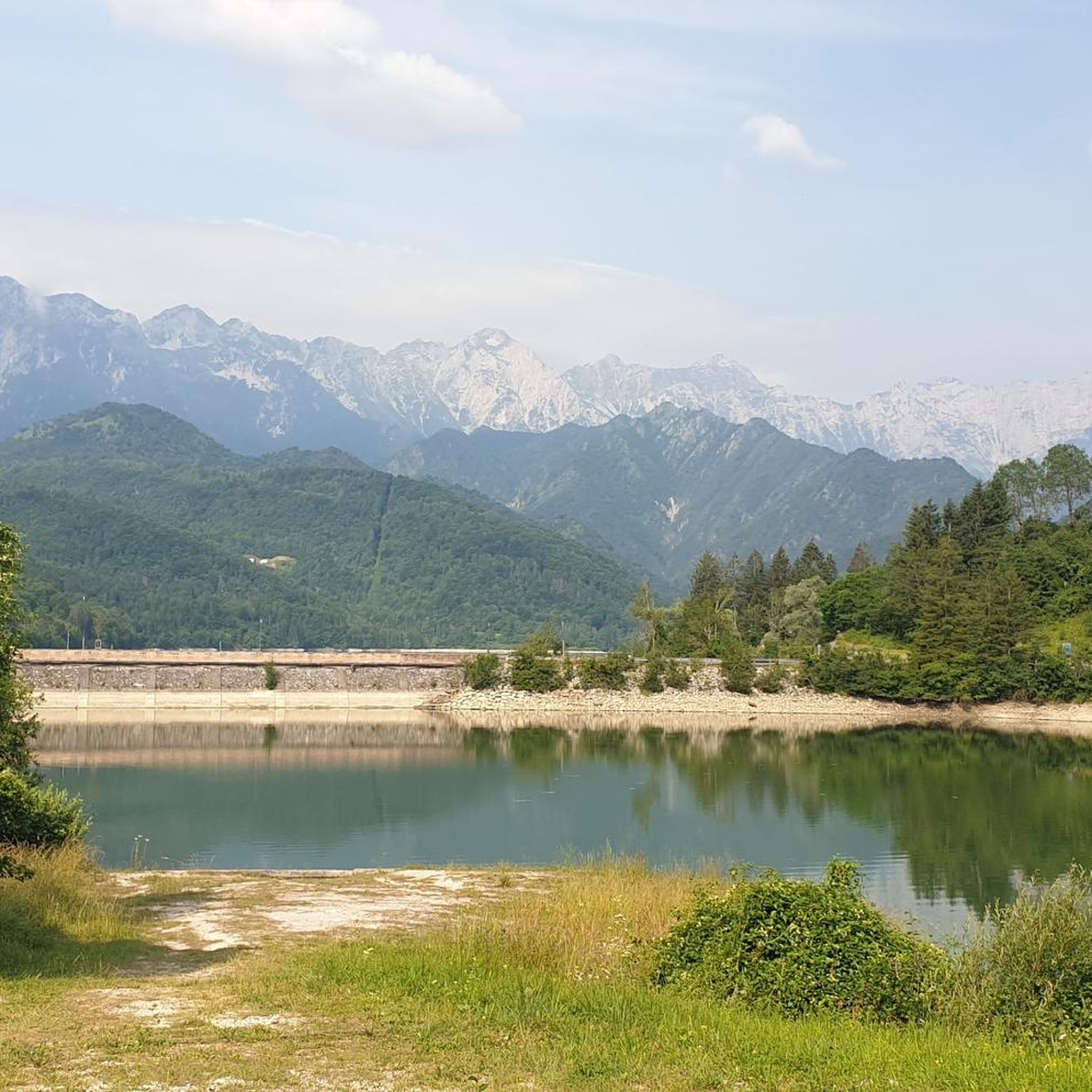
- The most popular natural monuments is Lake Tramonti, a lake that is a nice reservoir surrounded by mountains. This location offers peace and serenity.
- Another must-see spot is Sentiero del Dint, a trail. Visitors can expect a simple path through a beech forest with three panoramic points to admire the valley.
- Visitors also love Clautana Pass, a mountain pass offering an enchanting view from the fork. This pass provides a unique perspective of the surrounding landscape.
- Andreis is known for its mountains, valleys, lakes, and geological features. The area offers a variety of natural monuments to see and explore, including viewpoints and trails.
- The natural monuments around Andreis are appreciated by the komoot community, with over 100 upvotes and 95 photos shared by visitors.
Last updated: October 1, 2026
First Viewpoint (Skywalk del Dint)
Highlight • Viewpoint
From up there the view of Lake Barcis is truly wonderful and vast.
Translated by Google •
Tip by

Lake Tramonti
Highlight • Lake
Translated by Google •
Tip by

Sign up now to discover places like this
Get recommendations on the best single tracks, peaks, & plenty of other exciting outdoor places.
Summit cross on Monte Jouf
Highlight • Summit
Translated by Google •
Tip by

Grotta Landri Scur
Highlight • Cave
Translated by Google •
Tip by

Sentiero del Dint
Highlight (Segment) • Trail
Translated by Google •
Tip by

Sign up for free to discover even more natural monuments around Andreis.
Already have an account?
Start today with a free account
Your next adventure awaits.

Tips from the Community

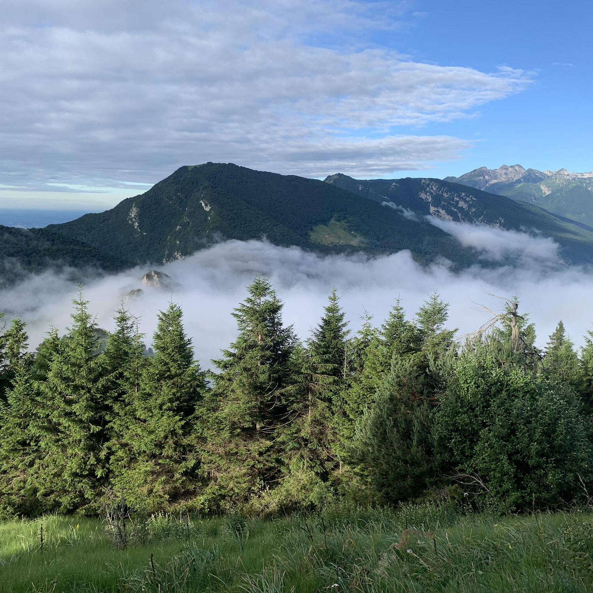
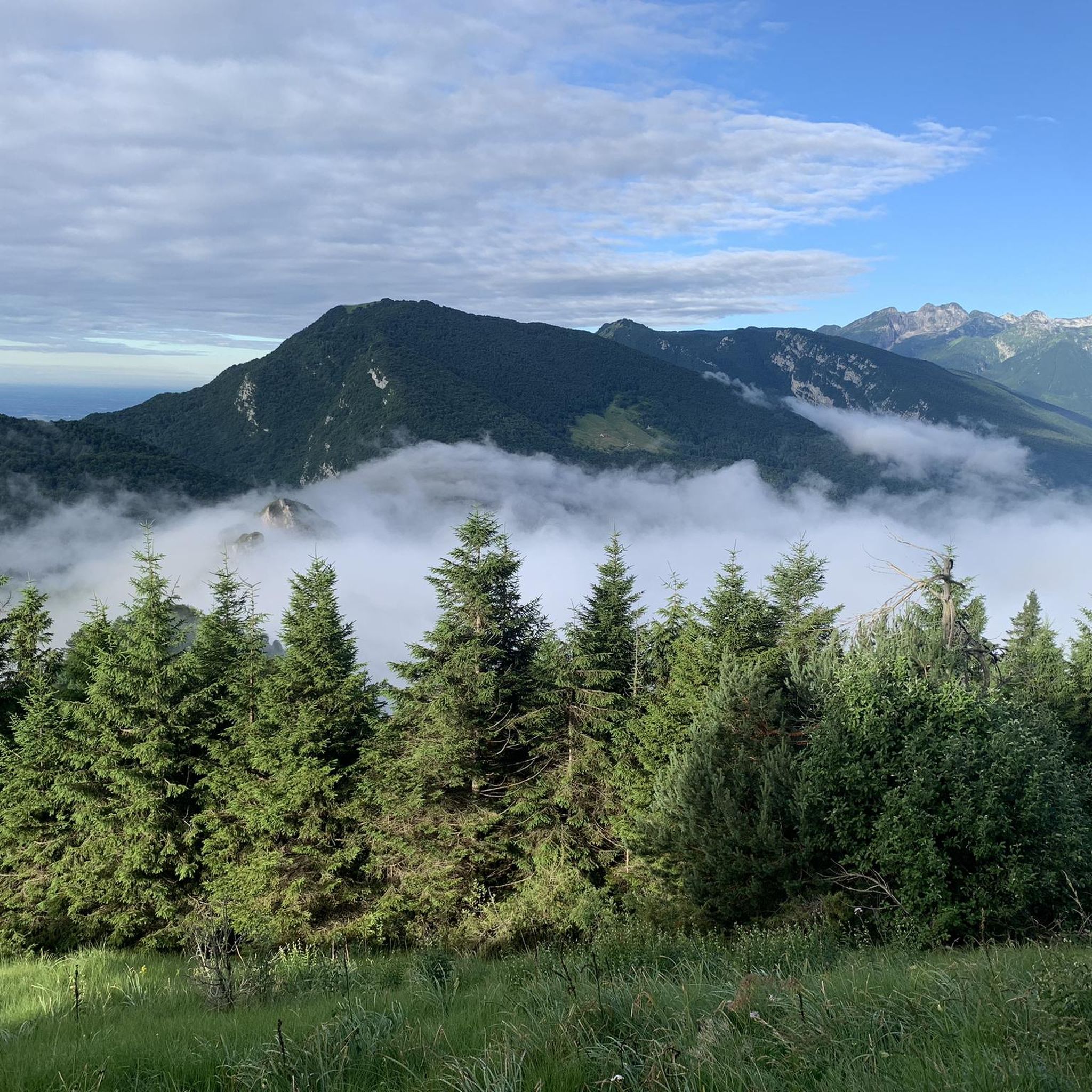
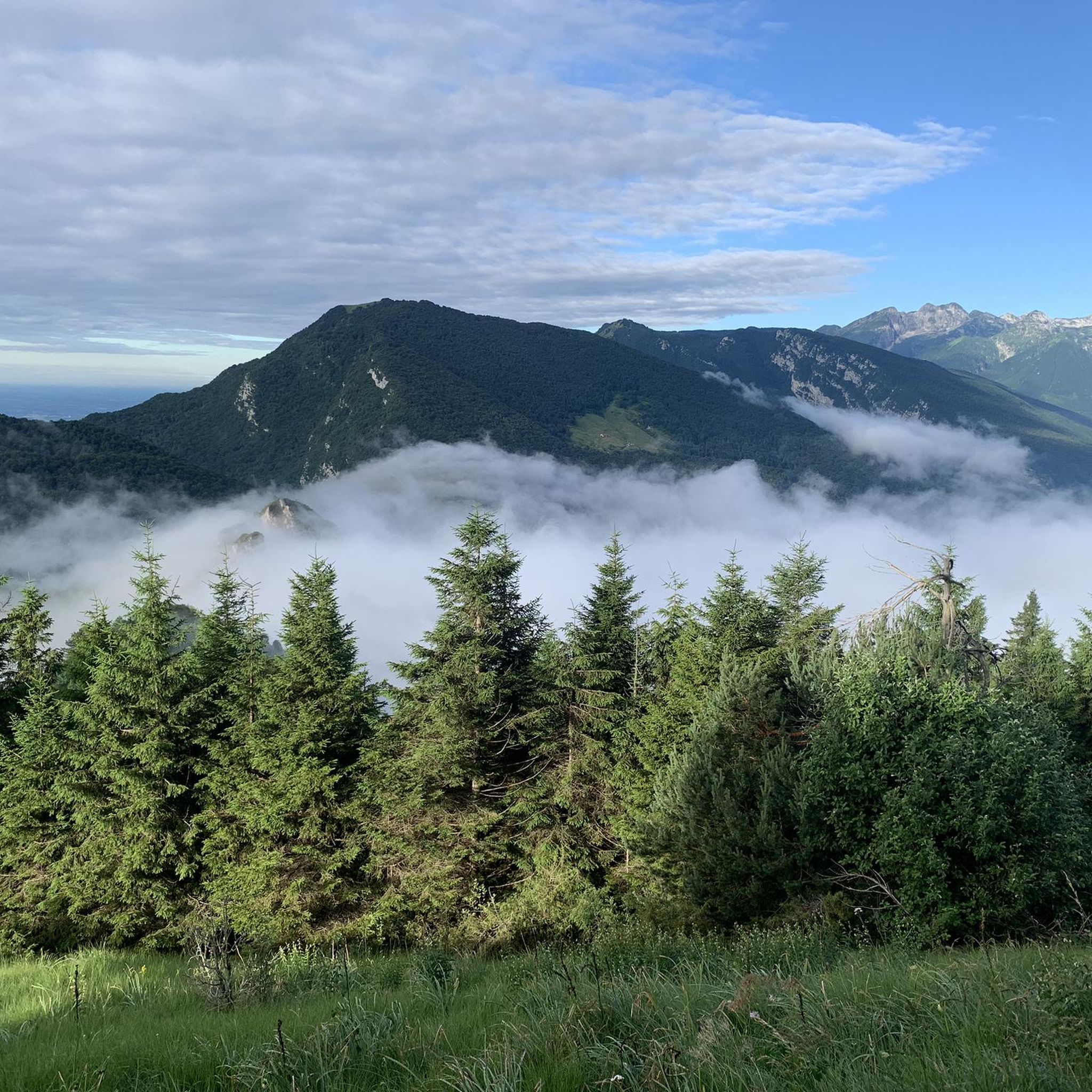
Mount Jôuf is a peak in the Carnic Prealps that rises behind the city of Maniago. This name, quite common in the mountain environment, literally translates to "yoke" (long and rounded mountain summit). The name appears for the first time in 1286, in the Municipal Archives of Maniago, and today it is written in various ways including: Iouf, Jouf, Jôf, Iof and Jof. Its main peak, an enchanting grassy clearing at 1,224 m, in a panoramic position on the Friulian plain, is recognizable by a modest flag with a rudimentary bench. In reality there is also a lower peak, traditionally recognized, located at 1,203 m and reachable from the saddle below. Here there is a large cross with a summit book. Nearby there is a meteorological station that reduces the view.
0
0

One of the most beautiful lakes I have ever seen, and there are many. the water is clear only in rare periods
1
0

A day of photography between nature, grazing light and small unexpected events. I'll tell you about my approach, the techniques used and how to transform a difficult context into an opportunity for extraordinary shots. Follow the path and get inspired!
0
0
I take you on a photographic excursion where the lake under maintenance offers unexpected views. Discover how the sunset light, the gray sky and the haze can transform a seemingly flat scene into a magical composition.
0
0

For those who climb Mount Jouf from Maniago, they arrive at the top, where there is a large cross. Many think that the top is that one, but for the real top (about thirty meters higher), it is necessary to continue along the crest, passing the repeaters, and descending to the saddle, go back up to the real top positioned along the crest (bench and flag).
1
0
This walkway suspended in the void makes unique panoramas possible.
1
0
Belvedere located at 450 m above sea level and known as Skywalk del Dint, a metal walkway suspended in the void that offers a privileged view of the Barcis dam, built between 1952 and 1954 to allow better exploitation of the waters of the Cellina torrent.
0
0
A visit to the Landri Scur is worth the entire excursion.
2
0
Frequently Asked Questions
What are some popular natural monuments to visit around Andreis?
Andreis is home to several captivating natural monuments. You can experience the unique First Viewpoint (Skywalk del Dint), which offers a metal walkway with transparent glass sections providing stunning views of Lake Barcis. Another popular spot is Lake Tramonti, a serene reservoir surrounded by mountains, ideal for peace and quiet. For those seeking a challenge, the Summit cross on Monte Jouf provides wonderful panoramic views from its peak.
Are there family-friendly natural monuments or trails around Andreis?
Yes, Andreis offers family-friendly options. Lake Tramonti is a great choice for families, offering a peaceful environment surrounded by mountains. The First Viewpoint (Skywalk del Dint) is also considered family-friendly, though those with vertigo should be aware of its transparent glass sections. The region's natural beauty and accessible paths make it suitable for various ages.
What kind of natural features can I expect to see in the Andreis area?
The Andreis area, nestled within the Friuli's Dolomites nature reserve, is rich in diverse natural features. You'll encounter majestic Dolomite mountains, deep valleys, and crystal-clear streams like the Alba, Ledròn, and Susaibes. Significant geological formations are also prominent, including the Periadriatic Fault, a massive fracture visible as a band of exposed rocky material, and the spectacular Molassa Torrent Ravine.
What are some notable viewpoints around Andreis?
Andreis boasts several impressive viewpoints. The First Viewpoint (Skywalk del Dint) offers a unique perspective over Lake Barcis from a suspended metal walkway. The Sentiero del Dint trail features three panoramic points with views of Lake Barcis, the Cellina stream gorge, and Andreis itself. Additionally, the Clautana Pass provides an enchanting vista from its fork.
What outdoor activities can I do near the natural monuments around Andreis?
The Andreis region is perfect for outdoor enthusiasts. You can explore numerous hiking trails, including those leading to Forcella della Croce, Monte Raut, and Prati di Albins. The Nordic Life Park also offers eight routes of varying difficulties. For more specific activities, you can find various mountain hikes, running trails, and road cycling routes in the area.
Are there hiking trails near these natural monuments, and what are their difficulty levels?
Yes, there are many hiking opportunities. The Sentiero del Dint is a simple path through a beech forest, generally considered intermediate. The Summit cross on Monte Jouf also involves an intermediate climb. For more challenging experiences, the Clautana Pass features an exposed descent that requires caution and is rated as challenging. You can find a range of mountain hikes with varying difficulties, from moderate to difficult, in the surrounding areas.
What is the best time of year to visit the natural monuments around Andreis?
The Friuli's Dolomites nature reserve, where Andreis is located, offers stunning scenery throughout the year. Spring and autumn provide pleasant temperatures for hiking and exploring, with vibrant foliage or blooming flowers. Summer is ideal for longer treks and enjoying the lakes, while winter offers a unique, snow-covered landscape for those prepared for colder conditions and winter sports.
What geological features are significant in the Andreis area?
The Andreis area is geologically fascinating. A key feature is the Periadriatic Fault, also known as the Barcis-Staro Selo Line, which is the largest regional overthrust formed by the African plate pushing against Europe. This creates an enormous fracture visible as a band of exposed rocky material, offering a 'spectacular lunar panorama.' The Mont Ciavac nature trail provides excellent opportunities to observe this and other geological processes.
What do visitors enjoy most about the natural monuments around Andreis?
Visitors frequently praise the peace and serenity found at places like Lake Tramonti. The breathtaking views from viewpoints such as the First Viewpoint (Skywalk del Dint) and the Clautana Pass are also highly appreciated. The opportunity to immerse oneself in the 'wild nature' and 'great natural heritage' of the Friuli's Dolomites nature reserve is a major draw, with many enjoying the diverse landscapes and unique geological formations.
Are there any specific trails that offer insights into the region's geology?
Yes, the Mont Ciavac nature trail is specifically designed to offer fascinating insights into the geology of the nature reserve. Along this loop trail, you can observe the significant Periadriatic Fault, a major geological phenomenon that showcases the powerful forces that shaped the Dolomites. It's an exceptional site for understanding complex geological processes firsthand.
What mountains surround Andreis?
Andreis is beautifully cradled by several imposing mountains. These include Monte Raut, Resettum, and Fara. The village is also crowned by the Raut, Castello, and Fara mountains, which contribute to the stunning natural backdrop of the Valcellina valley.
Most popular routes around Andreis
Most popular attractions around Andreis

Get inspired with the komoot mobile app


Explore more
Extend your search for the best caves by checking out these guides of the top ones around Andreis:
