Top 11 Natural Monuments around Cetraro
Best natural monuments around Cetraro are found on Italy's Tyrrhenian coast, within the Riviera dei Cedri. This region features a blend of sea and mountain landscapes. The area is characterized by geological formations, clear waters, and diverse ecosystems. These natural features offer opportunities for outdoor exploration.
Best natural monuments around Cetraro
- The most popular natural monument is U Vugliu Waterfall, a waterfall near Sangineto village. The route to this waterfall does not require special equipment or high levels of…
Last updated: June 28, 2026
U Vugliu Waterfall
Highlight • Waterfall
Translated by Google •
Tip by

Lago della Paglia
Highlight • Lake
Translated by Google •
Tip by

Sign up now to discover places like this
Get recommendations on the best single tracks, peaks, & plenty of other exciting outdoor places.
Sign up for free
Fra' Giovanni Waterfall
Highlight • Waterfall
Translated by Google •
Tip by

Queen's Rock
Highlight • Natural Monument
Translated by Google •
Tip by

Pietra Portusata
Highlight • Summit
Translated by Google •
Tip by

Sign up for free to discover even more natural monuments around Cetraro.
Sign up for free
Already have an account?
Start today with a free account
Your next adventure awaits.
Login or Signup
Tips from the Community

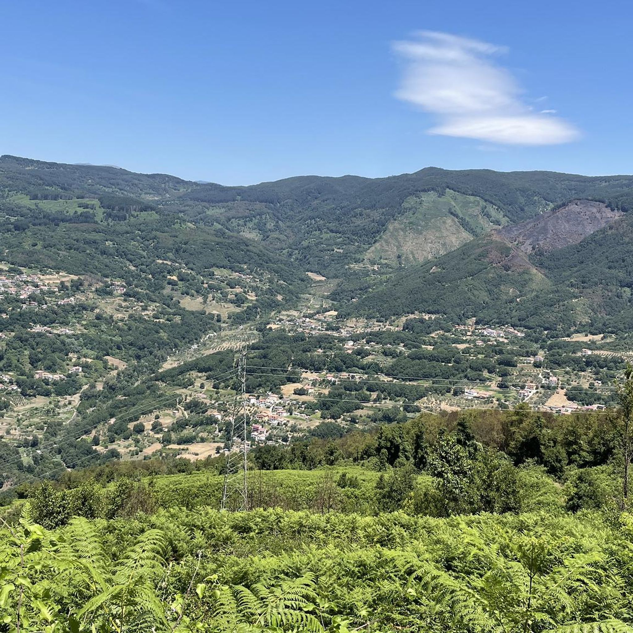
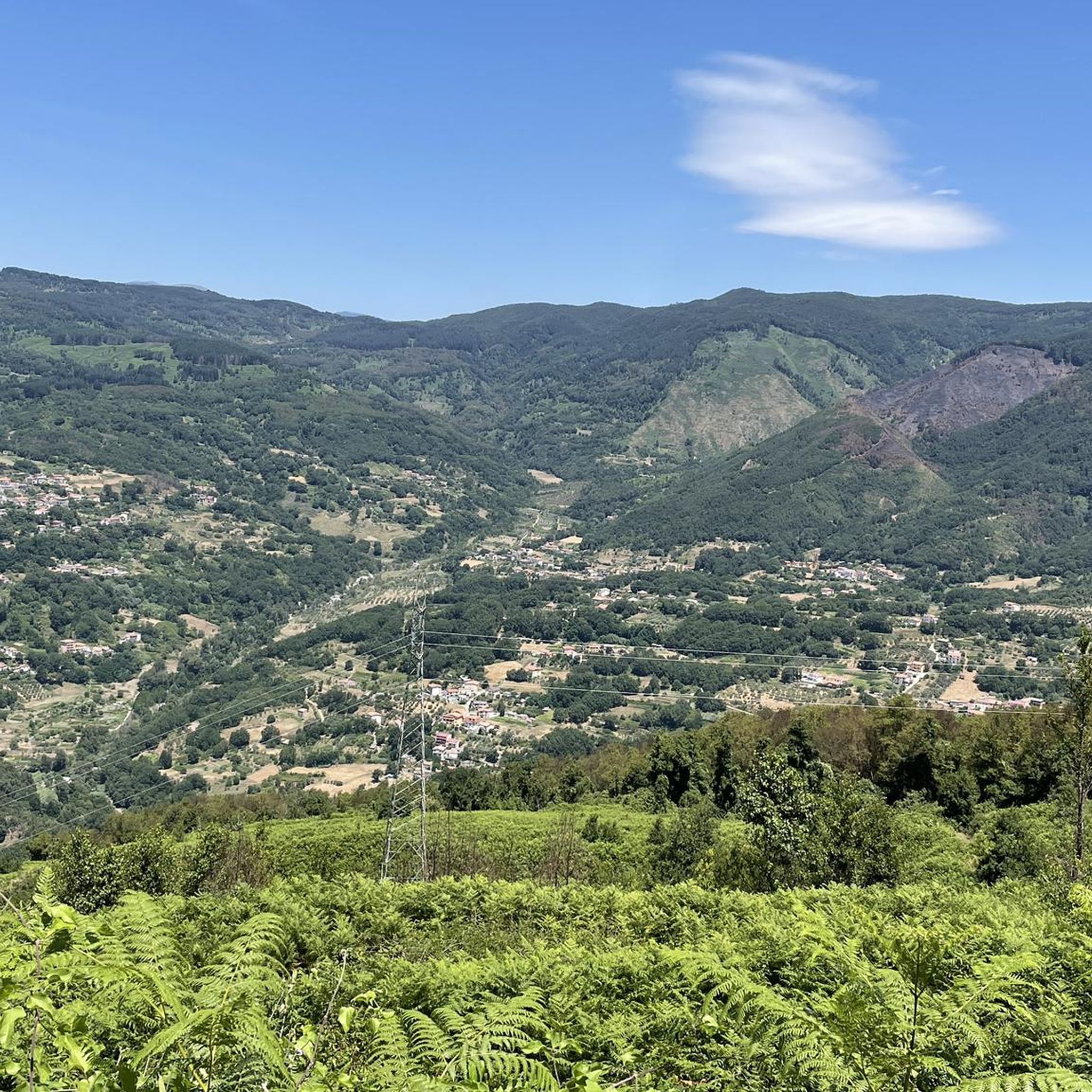
Pietra Portusata is a peak located in the municipality of Sant'Agata di Esaro, in the province of Cosenza, Calabria. With an altitude of about 1,215 meters above sea level, it is located on the slopes of Montea, within the Pollino National Park. It is a popular destination for hikers and nature lovers for its suggestive views and uncontaminated environment. 🥾 Hiking trails Pietra Portusata can be reached via various hiking trails. One of the most popular routes starts from the Sanctuary of the Madonna del Pettoruto, passing through the ancient settlement of Artemisia and continuing towards Pietra Portusata, and then descending along the Rosa River. This circular itinerary offers panoramic views and passes through places of historical and naturalistic interest. Another option is the excursion that connects San Sosti, Artemisia, Pietra Portusata and Sant'Agata di Esaro. This approximately 16 km route has a significant difference in altitude, reaching a maximum altitude of 1,183 meters. 🌄 Natural features The Pietra Portusata area is characterized by mountain landscapes, forests and rock formations. The summit offers a panoramic view of the Esaro Valley and the surrounding mountains. The presence of historical sites such as Artemisia and the proximity to the Tavola dei Briganti make the area interesting also from a cultural point of view. 📍 How to reach the area To reach Pietra Portusata, it is advisable to start from San Sosti or Sant'Agata di Esaro. Both municipalities are accessible by car and offer starting points for hiking trails. It is important to be adequately equipped for the excursion and to consult local maps or guides to orient yourself along the routes.
5
0
Lago della Paglia is a small natural lake located in the municipality of Fagnano Castello, in the province of Cosenza, Calabria. It is located on the slopes of Mount Caloria, in the Calabrian Coastal Chain, at an altitude of about 964 meters above sea level. Natural characteristics The lake is immersed in a wooded environment composed mainly of beech, conifer, chestnut and oak trees, offering a suggestive and peaceful landscape. With a surface area that is just over a hectare, Lago della Paglia is one of the smallest lakes in the area, but it is a popular destination for its natural beauty. Activities and accessibility The lake is easily accessible via well-marked hiking trails, making it an ideal destination for hikers and families. On its shores there is a picnic area, perfect for a relaxing day immersed in nature. Environmental context Lago della Paglia is part of the Monte Caloria Natural Park, a nature reserve established in 1990 that covers about 940 hectares. The area is managed by the Municipal Administration of Fagnano Castello and offers numerous paths and panoramic points for nature lovers and hikers. How to get there Lago della Paglia is located a short distance from the center of Fagnano Castello. It can be reached via the Strada Statale delle Terme or by following the "strada dei laghi" that connects the various bodies of water in the area
3
0

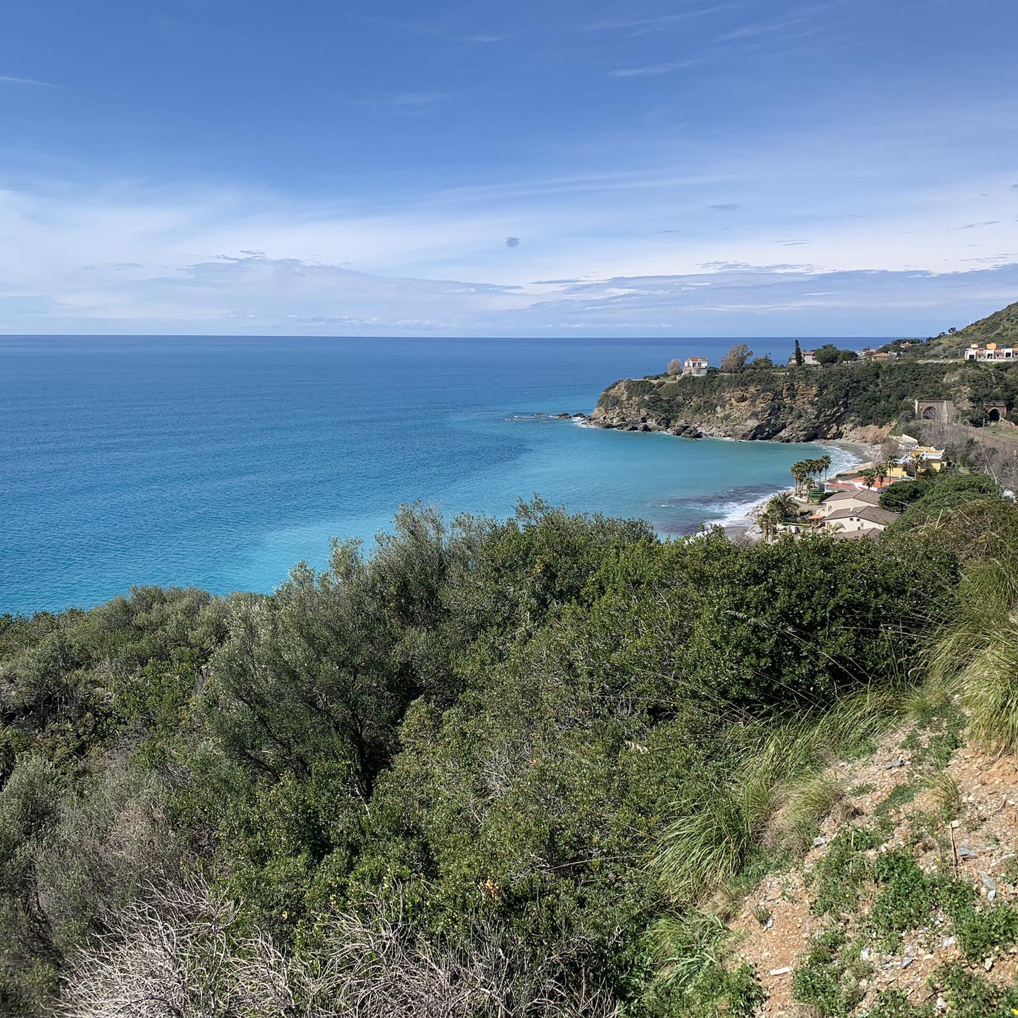
Rock and famous place because it is fueled by various legends as well as being a beautiful seaside place to swim in the summer
0
0

The access to the waterfall is closed. The commune has installed a fence.
2
0
Nice place to cool off in the middle of nature
1
0

Nice spot for bivouac, we were told that we could even drink the water from the river
1
0

A route immersed in nature, you may have some small difficulties near the waterfall, where the terrain is a bit rough, but then you are struck by its spectacle.
2
0

Lago della Paglia is one of the lakes of Fagnano Castello, a village famous for the production of chestnuts. It is located at over 1000 meters of altitude, and you can stop at one of the picnic areas to admire the view of Mount Caloria.
0
0
Frequently Asked Questions
What are some unique natural features to explore around Cetraro?
Cetraro offers a diverse range of natural features. Along the coast, you can discover the iconic Lion's Head Rock, the dramatic Scogliera dei Rizzi with its high cliffs and sea stacks, and fascinating sea caves like Rizzo Cave and Grotta delle Tre Colonne. Inland, you'll find the serene U Vugliu Waterfall near Sangineto and the peaceful Lago della Paglia, a small natural lake nestled in a wooded environment.
Are there family-friendly natural monuments in Cetraro?
Yes, several natural monuments around Cetraro are suitable for families. Lago della Paglia is ideal, offering a picnic area on its shores and easy hiking trails. The Fra' Giovanni Waterfall is another family-friendly spot for a refreshing natural escape. Additionally, the Queen's Rock offers a beautiful seaside location for swimming in summer.
What kind of coastal natural monuments can I find near Cetraro?
Cetraro's coastline, part of the Riviera dei Cedri, is rich in natural monuments. Key features include the distinctive Lion's Head Rock, the extensive Scogliera dei Rizzi with its rugged cliffs and small beaches, and the intriguing marine caves such as Rizzo Cave and Grotta delle Tre Colonne. The general coastline also boasts high, gray cliffs interspersed with sandy and gravelly beaches like Spiaggia di Cetraro Marina.
Can I explore caves near Cetraro's natural monuments?
Yes, the Cetrarese cliffs are home to several notable caves. The Rizzo Cave is well-known, and the Grotta delle Tre Colonne is described as mysterious and very suggestive, accessible by swimming from Cavinia beach. These caves, carved into ancient limestone, offer a unique glimpse into the area's geological history.
What outdoor activities can I do near Cetraro's natural monuments?
The region around Cetraro offers various outdoor activities. You can enjoy hiking, cycling, and mountain biking. For cycling, explore routes like the 'Appennino Bike Tour: Cetraro - Fagnano Castello Loop' or 'Monte Serra Sanctuary Loop from Cetraro' found in the Cycling around Cetraro guide. Road cyclists can find routes like the 'Appennino Bike Tour and Passo dello Scalone Loop' in the Road Cycling Routes around Cetraro guide. Mountain bikers can check out trails like 'Il passo dello Scalone – giro ad anello da Belvedere Marittimo' in the MTB Trails around Cetraro guide.
Are there hiking trails near Cetraro's natural monuments?
Yes, there are several hiking opportunities. The area around Lago della Paglia features well-marked trails suitable for hikers and families. For a more challenging experience, trails lead to Pietra Portusata, a peak within the nearby Pollino National Park, offering panoramic views. The route to U Vugliu Waterfall is also a pleasant, accessible walk.
What is the best time to visit the natural monuments around Cetraro?
The best time to visit depends on your preferred activities. For coastal exploration, swimming, and enjoying the beaches, the warmer months from late spring to early autumn (May to September) are ideal. For hiking and exploring inland natural monuments like waterfalls and lakes, spring and autumn offer milder temperatures and lush scenery, making them perfect for outdoor activities without the intense summer heat.
Are there any natural monuments suitable for dogs near Cetraro?
While specific dog-friendly designations for each monument are not always explicit, natural areas like the trails around Lago della Paglia and the general coastal paths or inland routes to U Vugliu Waterfall are often enjoyed by visitors with dogs, provided they are kept on a leash and owners clean up after them. Always check local regulations or signage at specific sites.
How accessible is the U Vugliu Waterfall?
The U Vugliu Waterfall, located near Sangineto village, is considered quite accessible. The route to the waterfall does not typically require special equipment or high levels of physical preparation, making it suitable for many visitors seeking a refreshing natural escape. However, some parts near the waterfall itself might have slightly rougher terrain.
What is the significance of Passo dello Scalone near Cetraro?
While not directly in Cetraro, Passo dello Scalone is a significant mountain pass located in the nearby Pollino National Park, easily accessible from Cetraro. Situated at 740 meters, it divides the Lucanian and Calabrian Apennines and is known for its scenic routes, making it a popular destination for cyclists and those wanting to experience the mountainous landscapes of Italy's largest national park.
Are there any natural monuments with historical or legendary connections?
Yes, the caves along the Cetrarese cliffs, such as Rizzo Cave and Grotta delle Tre Colonne, are steeped in local legends. Some tales connect these mysterious formations to the sirens that, according to mythology, lured Ulysses. This adds a layer of historical and mythical intrigue to their natural beauty.
What is the Monte Caloria Natural Park, and how is it connected to Cetraro's natural monuments?
The Monte Caloria Natural Park is a nature reserve that encompasses Lago della Paglia. Located on the slopes of Mount Caloria, this park offers numerous paths and panoramic points for nature lovers and hikers. It's an important area for experiencing the inland natural beauty close to Cetraro, characterized by a wooded environment of beech, conifer, chestnut, and oak trees.
What do visitors enjoy most about the natural monuments around Cetraro?
Visitors particularly appreciate the diverse landscapes, from dramatic coastal cliffs and sea caves to serene inland waterfalls and lakes. The opportunity for refreshing dips in natural waters, peaceful picnics by lakes, and scenic hikes through varied terrain are frequently highlighted. The unique geological features like the Lion's Head Rock and the tranquil atmosphere of places like U Vugliu Waterfall are also highly valued.
Most popular attractions around Cetraro

Get inspired with the komoot mobile app


Explore more
Extend your search for the best caves by checking out these guides of the top ones around Cetraro:
