Top 16 Natural Monuments around Urchfont
Best natural monuments around Urchfont are found within a landscape rich in natural beauty and historical significance. The area features quintessential English villages surrounded by chalk downland, ancient woodlands, and prominent hills. This region offers a blend of natural features and historical sites integrated into the landscape, providing diverse outdoor exploration opportunities.
Best natural monuments around Urchfont
- The most popular natural monuments is West Kennet Long Barrow, a historical site and natural monument that is a Neolithic burial chamber…
Last updated: July 1, 2026
West Kennet Long Barrow
Highlight • Historical Site
Tip by

Walkers Hill
Highlight • Natural Monument
Tip by

Sign up now to discover places like this
Get recommendations on the best single tracks, peaks, & plenty of other exciting outdoor places.
Sign up for free
Alton Barnes White Horse
Highlight • Viewpoint
Tip by

Devizes White Horse
Highlight • Monument
Tip by
Pewsey White Horse
Highlight • Monument
Tip by

Sign up for free to discover even more natural monuments around Urchfont.
Sign up for free
Already have an account?
Start today with a free account
Your next adventure awaits.
Login or Signup
Tips from the Community


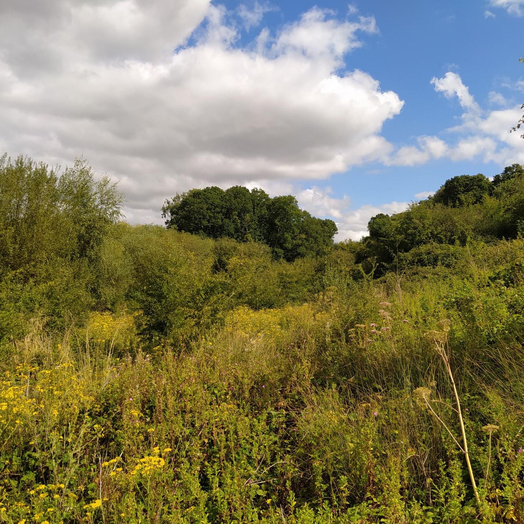
A well preserved bell barrow, the mound of which measures 22m in diameter and stands up to 2.8m high. The mound is surrounded by a berm up to 5m in diameter and a ditch 0.7m deep and up to 6.2m wide. One of these two bell barrows produced a sherd of Bronze Age pottery and a fragment of a polished greenstone axe, both found by Owen Meyrick. A bell barrow, the mound of which measures 24m in diameter and stands 2.7m high. The berm and ditch which surround this barrow have been levelled by cultivation on three sides but survive as buried features on the fourth. From measurements on the western side it can be seen that the berm is c.3m wide and that the ditch is c.5m wide.
0
0
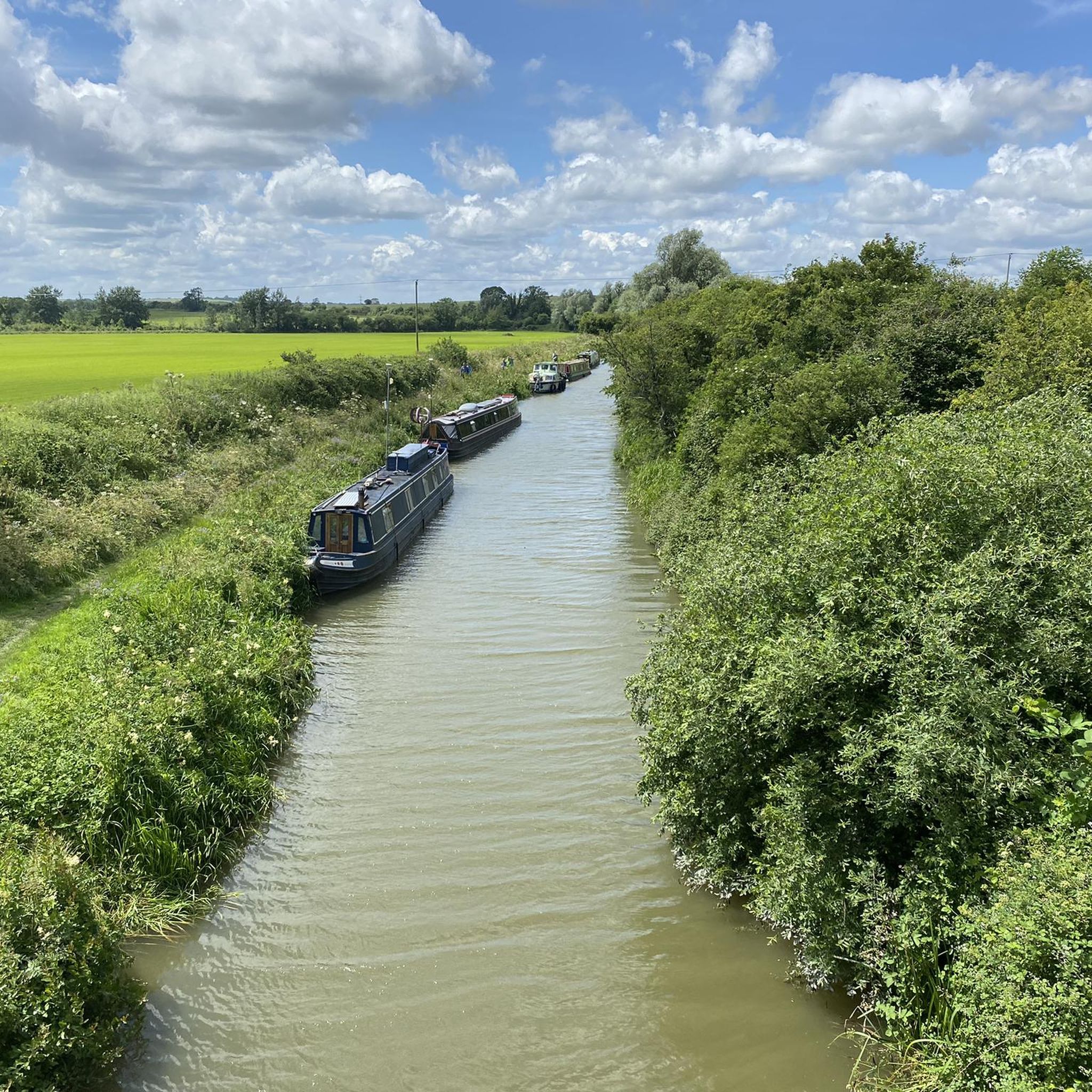
Who wouldn't want to walk into a neolithic burial chamber? anybody? no? didn't think so!!! It was amazing!!! The monument includes six prominent Bronze Age round barrows which form part of a larger round barrow cemetery north-east of West Kennett Farm and west of the Ridgeway track on Overton Hill. This is the site of a round barrow which, despite being ploughed level, will contain archaeological information; the old ground surface beneath the mound and the surrounding quarry ditch, from which material was quarried during construction of the monument, will survive as buried features. The area of the mound has a diameter of 33m; the surrounding ditch is c.2m wide. A bowl barrow, the mound of which measures 41.5m in diameter and stands up to 1.2m high. The mound is surrounded by a ditch which has become infilled over the years but which survives as a buried feature c.3m wide. This barrow has been partially excavated on two occasions, in 1857 by Thurnham and again in 1882 by W & H Cunnington. The primary cremation burial was not located but two secondary cremations were recovered. One was located north- west of the centre of the mound and was accompanied by a flint scraper and a serrated flint flake; the other was situated east of the centre and contained pottery sherds of two vessels, a beaker and an urn, as well as a piece of antler and several bone pins. A bowl barrow, the mound of which measures 42m in diameter and stands up to 0.7m high. The barrow has been partially excavated on two occasions, in 1857 by Thurnham and in 1882 by Ponting. These revealed that the barrow mound contained a crouched skeleton in a grave partly lined and roofed with sarsens. This was covered by a sarsen cairn, itself ringed by a double circle of sarsen stones c.1m outside the edge of the cairn. There was no evidence of a ditch around this barrow. Other finds included a later crouched skeleton covered with sarsen stones, the skeleton of a child, three large urns full of burnt bones and the perforated head of a bone pin. A well preserved bell barrow, the mound of which measures 26m in diameter and stands up to 3m high. The mound is surrounded by a gently sloping berm or platform c.3m wide and a ditch 0.5m deep and up to 6.4m wide.
0
0
Adam’s Grave on Walker's Hill in Alton, the most dramatically located Neolithic long barrow in Wiltshire and the site of battles in 592 and 715. The area surrounding Walker's Hill is pitted and speckled with barrows and ditches of many sizes and shapes.
0
0
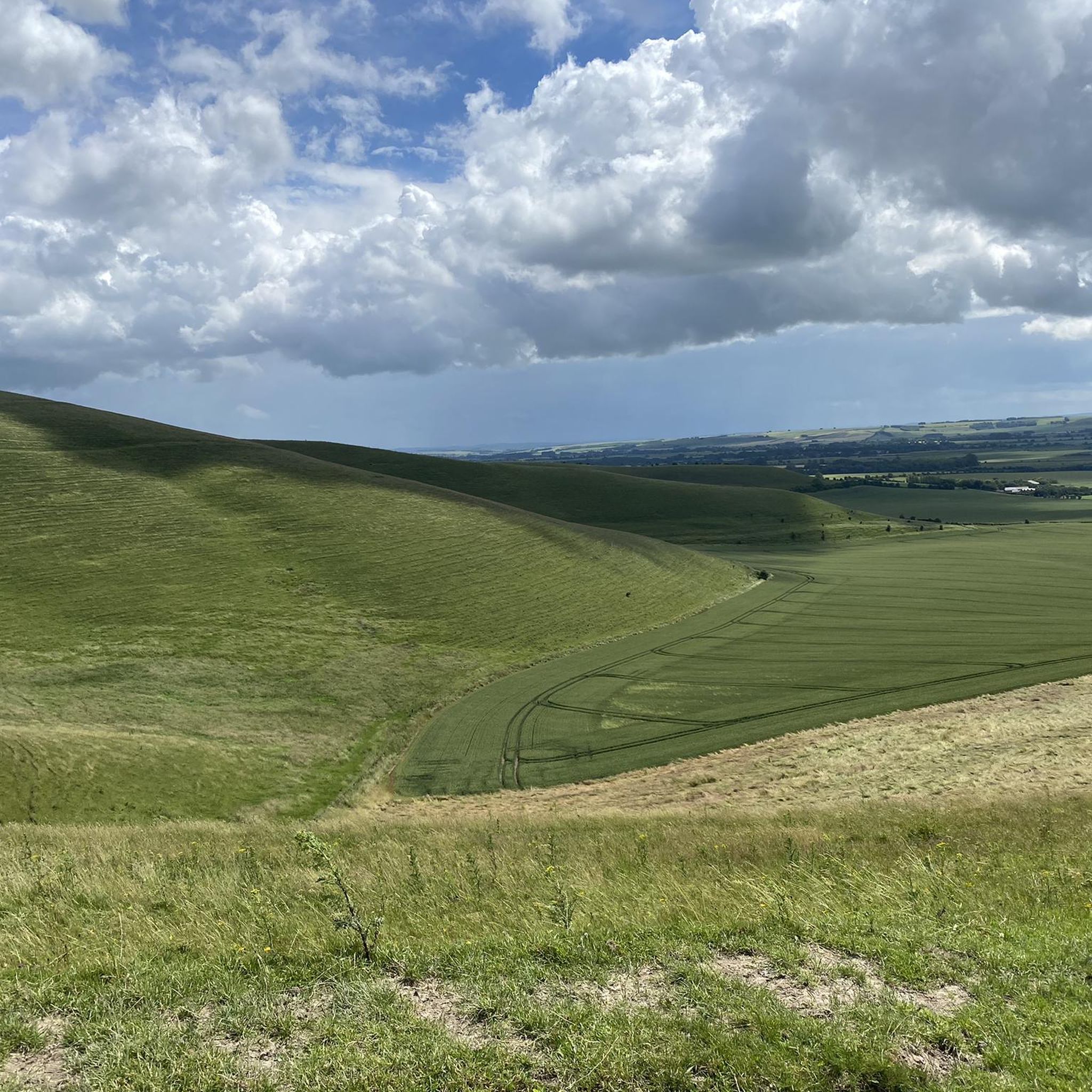
A wonderful sweep of chalk downland located to the north of the Pewsey Vale and in the North Wessex Downs National Landscape. The reserve covers three hills and includes Alton Barnes White Horse cut into the chalk hillside. There are great opportunities for wildlife and landscape photography with views stretching across the Vale of Pewsey to Salisbury Plain. Pewsey Downs National Nature Reserve is also part of a Site of Special Scientific Interest (SSSI), recognising the range of chalk grassland plants and the associated butterflies (28 species). While you are there, also look out for the Sarsen stones, known locally as ‘Grey Weathers’.
0
0


Great area with a myriad of beautiful walks including to the famed Alton White Horse.
1
0
Milk Hill 294m, Pewsey Down, Wiltshire (County High Top). A longish but easy walk over undulating hills to get Milk Hill, the county top for Wiltshire. Thought I would do Tan Hill as well to bag a trig point. Turns out there was no summit marker on Milk Hill or a Trig Point on Tan Hill. Still, a lovely walk and well worth doing. Took Walkers Hill as well which is a great historic tomb. Route Statistics: Easy undulating trails with minimal ascent really. 9.2km done in 2hrs with 250m of height gain.
2
1
Frequently Asked Questions
What are some unique natural monuments to explore near Urchfont?
Beyond the well-known sites, you can explore Walkers Hill, which offers exceptional vistas of the Vale of Pewsey and features ancient earthworks like Adam's Grave. Another distinct natural monument is Peppercombe Wood, a picturesque ancient woodland just a short walk from Urchfont, known for its spring wildflowers and rich birdsong.
Are there any natural monuments with historical significance around Urchfont?
Yes, the area is rich in sites that blend natural beauty with history. West Kennet Long Barrow is a Neolithic burial chamber older than Stonehenge, where you can enter the ancient chambers. Walkers Hill also features Neolithic long barrows and cross dykes, offering a glimpse into prehistoric civilizations within a natural setting.
What kind of views can I expect from the natural monuments in this region?
Many natural monuments around Urchfont offer expansive and scenic views. Milk Hill, as the highest point in Wiltshire, provides fantastic views of the Pewsey Vale and surrounding chalk grassland hills. Similarly, Walkers Hill offers exceptional vistas of the Vale of Pewsey and the downland on clear days.
Are there family-friendly natural monuments around Urchfont?
Yes, several natural monuments are suitable for families. Devizes White Horse is easily accessible by multiple footpaths and bridleways, making it a good option for a family outing. Milk Hill, while a summit, is described as having walking that is not too strenuous, offering great views for all ages.
What outdoor activities can I do near these natural monuments?
The area around Urchfont offers a variety of outdoor activities. You can find numerous hiking trails, such as the 'Salisbury Plain Perimeter Path – Redhorn Hill Byway loop from Urchfont' or the 'Holloway Path – Urchfont Duck Pond loop from Urchfont'. For cycling enthusiasts, there are routes like the 'Redhorn Hill Byway – Pewsey White Horse loop from Urchfont'. Mountain biking trails are also available, including routes around Stonehenge and Devizes. You can find more details on these activities in the hiking guide, cycling guide, and MTB guide for Urchfont.
What is the best time to visit the natural monuments around Urchfont?
Spring is particularly beautiful for visiting woodlands like Peppercombe Wood, when the woodland floor is adorned with bluebells, pignuts, and wood anemones. Autumn also offers unique sights, such as horseshoe fungi. For expansive views from hills like Milk Hill or Walkers Hill, clear days are ideal, which can occur throughout the year.
Can I see any unique wildlife or plant life at these natural monuments?
Yes, Peppercombe Wood is a haven for birds, offering rich spring birdsong from chiffchaffs, wrens, and blackcaps, along with woodpeckers. Its woodland floor features bluebells, wood anemones, and the distinctive 'town hall clock' flower (moschatel). The nature reserve around Alton Barnes White Horse is known for its chalk grassland plants and a variety of butterflies (28 species).
Are there any impressive engineering feats integrated into the natural landscape?
Yes, the Caen Hill Locks, an impressive flight of 29 locks on the Kennet and Avon Canal near Devizes, is a notable example. While primarily an engineering marvel, it is set within a natural landscape enhanced by thousands of trees planted for the Queen's Golden Jubilee, offering beautiful scenery and opportunities to observe local nature and wildlife.
What kind of terrain can I expect when visiting these natural monuments?
The terrain varies, ranging from the steep slopes of Peppercombe Wood to the undulating chalk grassland hills of the Pewsey Downs, where Milk Hill is located. Many trails are moderate with slight elevation, such as those leading to West Kennet Long Barrow or Walkers Hill, which offer historical exploration alongside natural beauty.
What do visitors enjoy most about the natural monuments around Urchfont?
Visitors frequently highlight the amazing views and the rich history embedded in the landscape. Many appreciate the opportunity to explore ancient sites like West Kennet Long Barrow and Walkers Hill, while also enjoying the expansive vistas from summits like Milk Hill. The blend of natural beauty and historical significance is a major draw.
Are there any white horse figures carved into the hillsides near Urchfont?
Yes, the region is famous for its chalk figures. The Alton Barnes White Horse, cut in 1812, is situated just northwest of Walkers Hill and is set within a nature reserve. Additionally, the Devizes White Horse, created in 1999, sits on Roundway Hill and is easily accessible by footpaths.
Most popular routes around Urchfont
Most popular attractions around Urchfont

Get inspired with the komoot mobile app


Explore more
Extend your search for the best caves by checking out these guides of the top ones around Urchfont:
