Top 16 Natural Monuments around Alderholt
Best natural monuments around Alderholt include a variety of historical earthworks, ancient wells, and significant viewpoints. The area, bordering the New Forest, features diverse landscapes such as woodlands, heathlands, and chalk streams. These natural features offer opportunities to experience the local environment and its historical interactions. Alderholt provides access to a rich natural setting, characterized by its unique geological and historical landmarks.
Best natural monuments around Alderholt
- The most popular natural monument is Telegraph Hill, a historical site that was once a semaphore station from 1795. It offers a place in history as one of the stations used to communicate the victory at Waterloo.
- Another must-see spot is Ibsley Common Triangulation Point, a viewpoint located at 77 meters. It is surrounded by moorland and provides far-reaching views of the area.
- Visitors also love Bokerley Dyke, a trail and historical site. This substantial linear earthwork is approximately 5.75 kilometers long and has a multi-period history, believed to have originated in the Bronze Age or Early Iron Age.
- Alderholt is known for its historical sites, ancient trees, and significant viewpoints. These natural monuments offer a variety of landscapes and historical insights to explore.
- The natural monuments around Alderholt are appreciated by the komoot community, with 14 photos and 20 upvotes shared by visitors.
Last updated: July 1, 2026
Bokerley Dyke
Highlight • Trail
Tip by

Telegraph Hill
Highlight • Historical Site
Tip by

Sign up now to discover places like this
Get recommendations on the best single tracks, peaks, & plenty of other exciting outdoor places.
Sign up for free
Abbots Well
Highlight • Historical Site
Tip by
Old Oak Tree in New Forest National Park
Highlight • Forest
Tip by

Ibsley Common Triangulation Point
Highlight • Viewpoint
Tip by

Sign up for free to discover even more natural monuments around Alderholt.
Sign up for free
Already have an account?
Start today with a free account
Your next adventure awaits.
Login or Signup

Tips from the Community

Napoleonic Era: During the early 19th century, the site housed a wooden optical shutter signal station. It was part of a line connecting Plymouth with the Admiralty in London, capable of passing messages in under 20 minutes. Thats google telling me
0
0

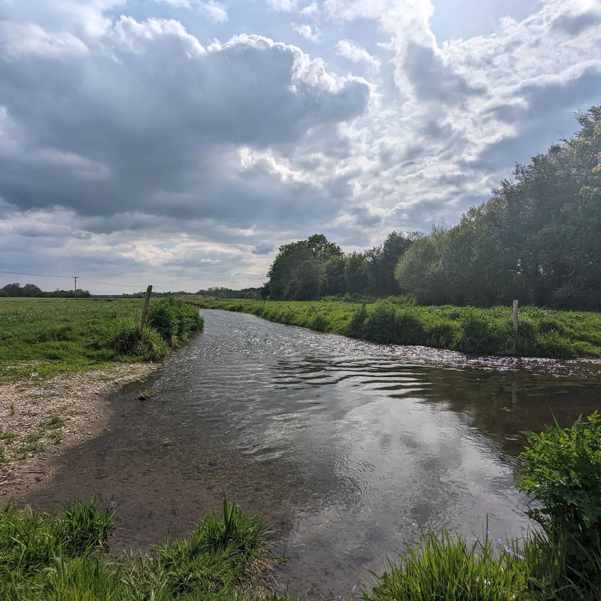
Bokerley Dyke is a substantial linear earthwork, approximately 5.75 kilometers (3.6 miles) long, located on Cranborne Chase. It runs along part of the border between Dorset and Hampshire, specifically between Woodyates and Martin. It is part of a larger Scheduled Monument that also includes Grim's Ditch and other earthworks. The dyke has a multi-period history. It is believed to have originated in the Bronze Age or Early Iron Age as an important political and cultural boundary. In the 1st century, it was cut through by a Roman road, Ackling Dyke, which ran between Old Sarum and Badbury Rings. In the 4th century, the dyke was remodeled and brought back into use. During this period, the Roman road was blocked. A coin of Valens found during excavations dates this activity to shortly after 364 AD, with some sources suggesting it was built between 367-368 AD. This remodeling may have been a defensive measure against attacks on Britain by Picts, Scots, and Saxons. The Roman road was eventually reopened, but the dyke may have continued to be used as a boundary after the Roman administration ended. Today, it still forms part of the border between the counties of Dorset and Hampshire.
0
0
The Queen of the forest, at 500 years old and still growing.
0
0

An ancient pollarded oak tree https://www.geograph.org.uk/photo/336141
0
0

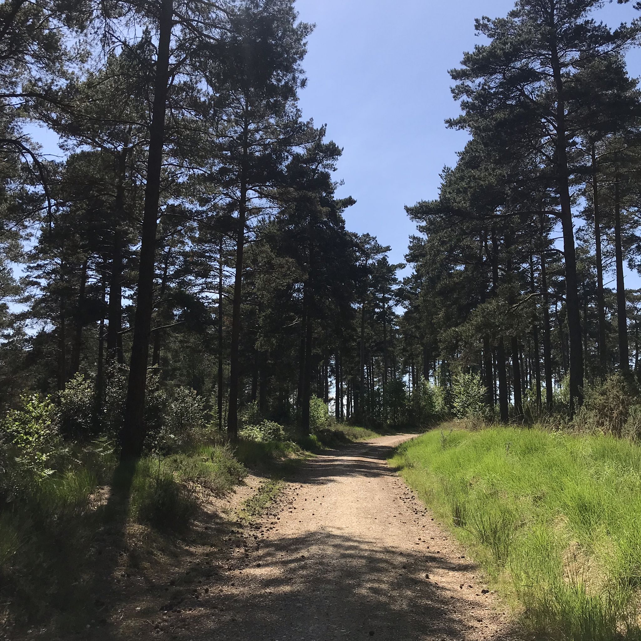
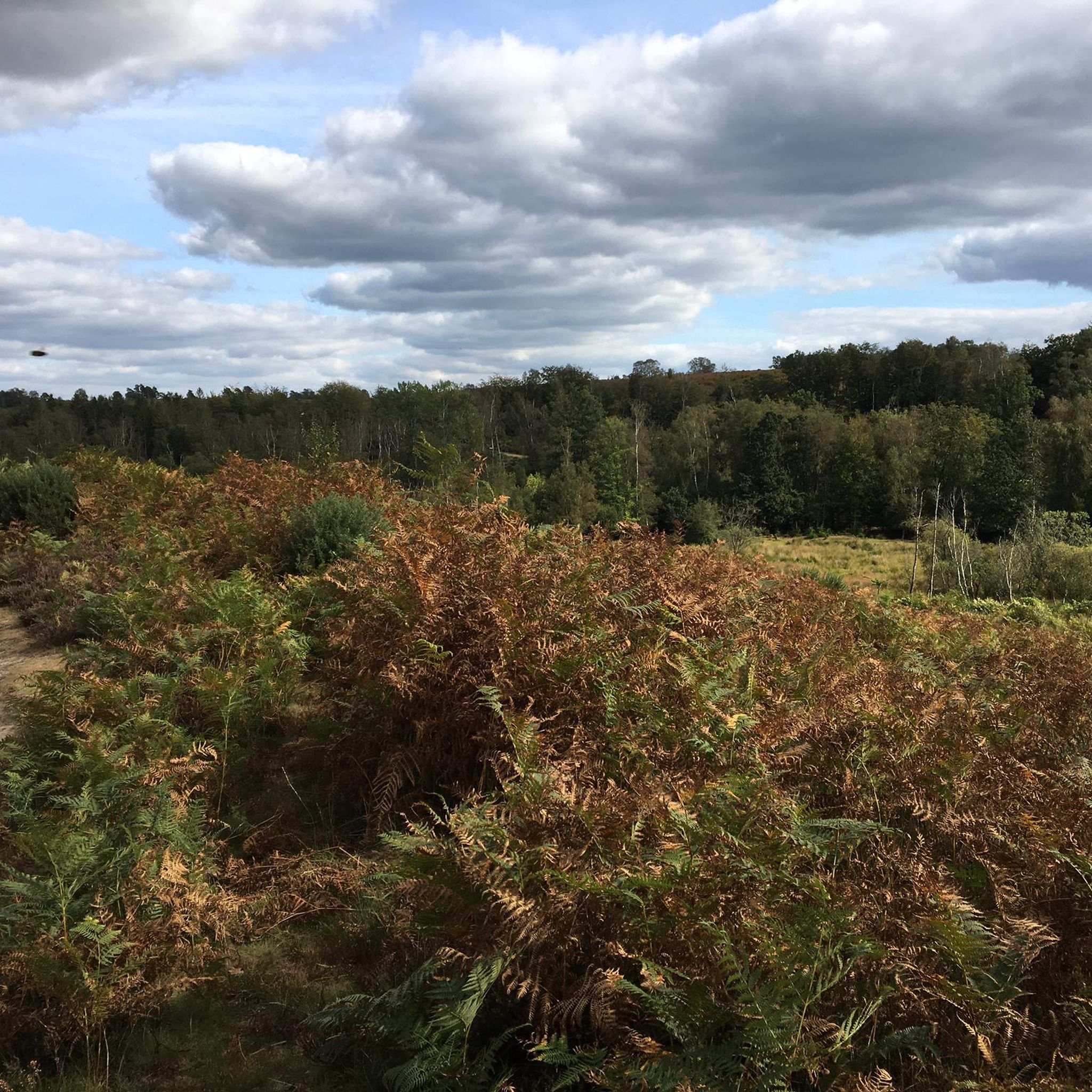
The white-coated Ibsley Common triangulation point is easy to see from a distance, sitting right next to the Whitefield Plantation. It's at 77m, surrounded by beautiful moorland and offering gorgeous far-reaching views of the area.
0
0
English oak, also known as common or pedunculate oak, is one of Britain's most iconic trees. Its flowers are long, hanging catkins. It is the second most common tree species in the UK. Its leaves are around 10cm in length.
0
0

Abbots Well was formerly known as Alleynewell within the ancient boundaries of the New Forest when defined during the reign of King Edward I (1272-1307). This perpetual spring was, for centuries, the main watering place for travellers on the old road to Southampton. Theoretically the chamber on the left is for forest fauna and under the wooden flap on the right water intended for human consumption. I’m not sure I’d drink from it though - make your own mind up!!!
2
0

The name, Telegraph Hill, was given to this spot after it was used as a semaphore station from 1795. Before then, it was called Plowed Garlic Hill. No sign of either exist today, but it has a place in history as one of the semaphore station used to communicate the victory at Waterloo.
0
0
Frequently Asked Questions
What historical natural monuments can I explore near Alderholt?
The area around Alderholt is rich in historical natural monuments. You can visit Bokerley Dyke, a substantial linear earthwork with a multi-period history, believed to have originated in the Bronze Age or Early Iron Age. Another significant site is Telegraph Hill, which was once a semaphore station from 1795 and played a role in communicating the victory at Waterloo. Additionally, the Alderholt Park Pale, a historical earthwork, offers woodland walking experiences and a glimpse into the region's past.
Where can I experience diverse natural landscapes around Alderholt?
Alderholt borders the New Forest, offering a vast expanse of ancient woodlands, heathlands, and open moors. You can also explore Cranborne Common and Stephen's Castle Nature Reserve, which features diverse wildlife and the ancient monolith, Stephen's Stone. The tranquil setting of Eyeworth Pond is perfect for a peaceful escape, while the chalk streams of the River Allen and Ashford Water provide picturesque scenery and healthy river ecosystems.
Are there family-friendly natural monuments suitable for children near Alderholt?
Yes, several natural monuments are suitable for families. Abbots Well is noted as family-friendly, offering a historical spring. Telegraph Hill and Ibsley Common Triangulation Point are also marked as family-friendly, providing viewpoints with interesting historical context or expansive views. The Old Oak Tree in New Forest National Park is another great spot for families to appreciate ancient nature.
What walking routes are available to explore the natural monuments around Alderholt?
There are numerous walking routes that allow you to explore the natural monuments. For moderate hikes, you can find options like the 'St James's Church – Alderholt Stream loop' or the 'Decoy Pond – Pistle Hill loop'. If you're looking for easier walks, routes such as the 'Fordingbridge (Great Bridge) – Great Bridge, Fordingbridge loop' are available. You can find more details and routes in the Hiking around Alderholt and Easy hikes around Alderholt guides.
Can I spot wildlife near the natural monuments in Alderholt?
Absolutely. The New Forest, bordering Alderholt, is famous for its wild animals, including ponies, donkeys, and deer. Cranborne Common and Stephen's Castle Nature Reserve are havens for wildlife, notably hosting all six native reptile species. The watermeadows near Alderholt Mill, where Ashford Water joins the River Allen, are also excellent for birdwatching and appreciating a healthy river ecosystem.
Are there any hidden gems or lesser-known natural monuments worth visiting?
Beyond the more prominent sites, Eyeworth Pond offers a tranquil, pleasant spot for a picnic and serves as a convenient starting point for walks. The Alderholt Park Pale, while man-made, provides a unique woodland walking experience along a historical boundary. Stephen's Stone, an ancient monolith within Cranborne Common, is another fascinating, less-publicized feature.
What unique natural features, like ancient trees or wells, can I discover?
You can discover the ancient Old Oak Tree in New Forest National Park, an iconic English oak that is hundreds of years old. There's also Abbots Well, a perpetual spring first recorded in 1215, which historically served as a main watering place for travelers.
Where can I find impressive viewpoints among the natural monuments?
For stunning vistas, head to Ibsley Common Triangulation Point, located at 77 meters and surrounded by beautiful moorland, offering gorgeous far-reaching views. Stephen's Castle, a Bronze Age barrow within Cranborne Common, also provides stunning 360-degree views of the surrounding countryside.
Can I find cycling routes near the natural monuments in Alderholt?
Yes, there are several cycling routes in the vicinity. You can explore options like the 'Great Bridge, Fordingbridge – The Royal Oak, North Gorley loop' or the 'Pylon Path – Forest loop'. These routes vary in difficulty from easy to moderate. More details can be found in the Cycling around Alderholt guide.
What is the best time of year to visit the natural monuments near Alderholt?
The natural monuments around Alderholt can be enjoyed year-round. Spring brings blooming wildflowers and active wildlife, while summer offers pleasant weather for longer walks and picnics. Autumn showcases beautiful foliage, especially in the New Forest. Even in winter, the landscapes offer a unique, serene beauty, and many trails remain accessible for walks.
How long does it typically take to explore some of the natural monuments?
The duration varies depending on the monument and your chosen activity. For instance, exploring Bokerley Dyke, which is approximately 5.75 kilometers long, could take a few hours if you walk a significant portion of it. Shorter visits to viewpoints like Telegraph Hill or Ibsley Common Triangulation Point might take less than an hour, allowing time to enjoy the views. Many of the nearby hiking routes are moderate and range from 2 to 4 hours.
Is parking available at the natural monuments around Alderholt?
Parking availability varies by location. Eyeworth Pond is noted to offer limited parking, making it a convenient starting point for walks. For other areas, it's advisable to check specific access points or trailheads for designated parking areas, especially when visiting sites within the New Forest or Cranborne Common.
Are any of the natural monuments around Alderholt wheelchair accessible?
While many natural monuments involve uneven terrain, trails, or historical earthworks, some areas might offer more accessible paths. For example, parts of the New Forest have designated accessible routes. However, specific information on wheelchair accessibility for each natural monument is not consistently available. It's recommended to check local visitor information or specific trail guides for detailed accessibility notes before your visit.
Most popular routes around Alderholt
Most popular attractions around Alderholt

Get inspired with the komoot mobile app


Explore more
Extend your search for the best caves by checking out these guides of the top ones around Alderholt:
