Top 7 Natural Monuments around Edmondsham
Best natural monuments around Edmondsham offer a diverse range of geological features and historical sites. The area features ancient earthworks, historical springs, and unique geological formations. These sites provide insights into the region's natural history and past human activity. Visitors can explore a variety of natural landscapes, from moorland views to ancient woodlands.
Best natural monuments around Edmondsham
- The most popular natural monuments is Ibsley Common Triangulation Point, a viewpoint that sits at 77 meters. It is surrounded by…
Last updated: July 1, 2026
Bokerley Dyke
Highlight • Trail
Tip by

Abbots Well
Highlight • Historical Site
Tip by
Sign up now to discover places like this
Get recommendations on the best single tracks, peaks, & plenty of other exciting outdoor places.
Sign up for free
Ibsley Common Triangulation Point
Highlight • Viewpoint
Tip by

White Deer in New Forest National Park
Highlight • Natural Monument
Tip by

Bull Barrow Trig Point
Highlight • Historical Site
Tip by

Sign up for free to discover even more natural monuments around Edmondsham.
Sign up for free
Already have an account?
Start today with a free account
Your next adventure awaits.
Login or Signup


Tips from the Community

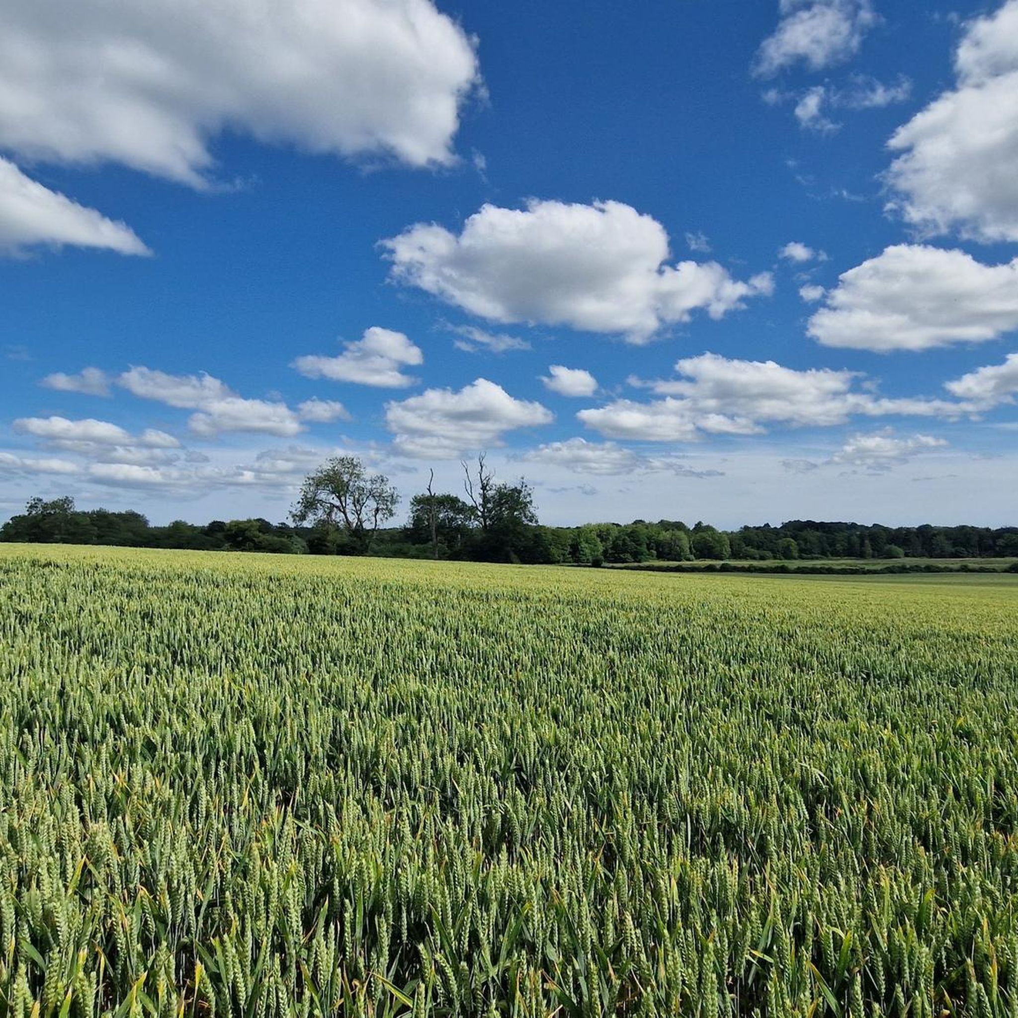
Bokerley Dyke is a substantial linear earthwork, approximately 5.75 kilometers (3.6 miles) long, located on Cranborne Chase. It runs along part of the border between Dorset and Hampshire, specifically between Woodyates and Martin. It is part of a larger Scheduled Monument that also includes Grim's Ditch and other earthworks. The dyke has a multi-period history. It is believed to have originated in the Bronze Age or Early Iron Age as an important political and cultural boundary. In the 1st century, it was cut through by a Roman road, Ackling Dyke, which ran between Old Sarum and Badbury Rings. In the 4th century, the dyke was remodeled and brought back into use. During this period, the Roman road was blocked. A coin of Valens found during excavations dates this activity to shortly after 364 AD, with some sources suggesting it was built between 367-368 AD. This remodeling may have been a defensive measure against attacks on Britain by Picts, Scots, and Saxons. The Roman road was eventually reopened, but the dyke may have continued to be used as a boundary after the Roman administration ended. Today, it still forms part of the border between the counties of Dorset and Hampshire.
0
0

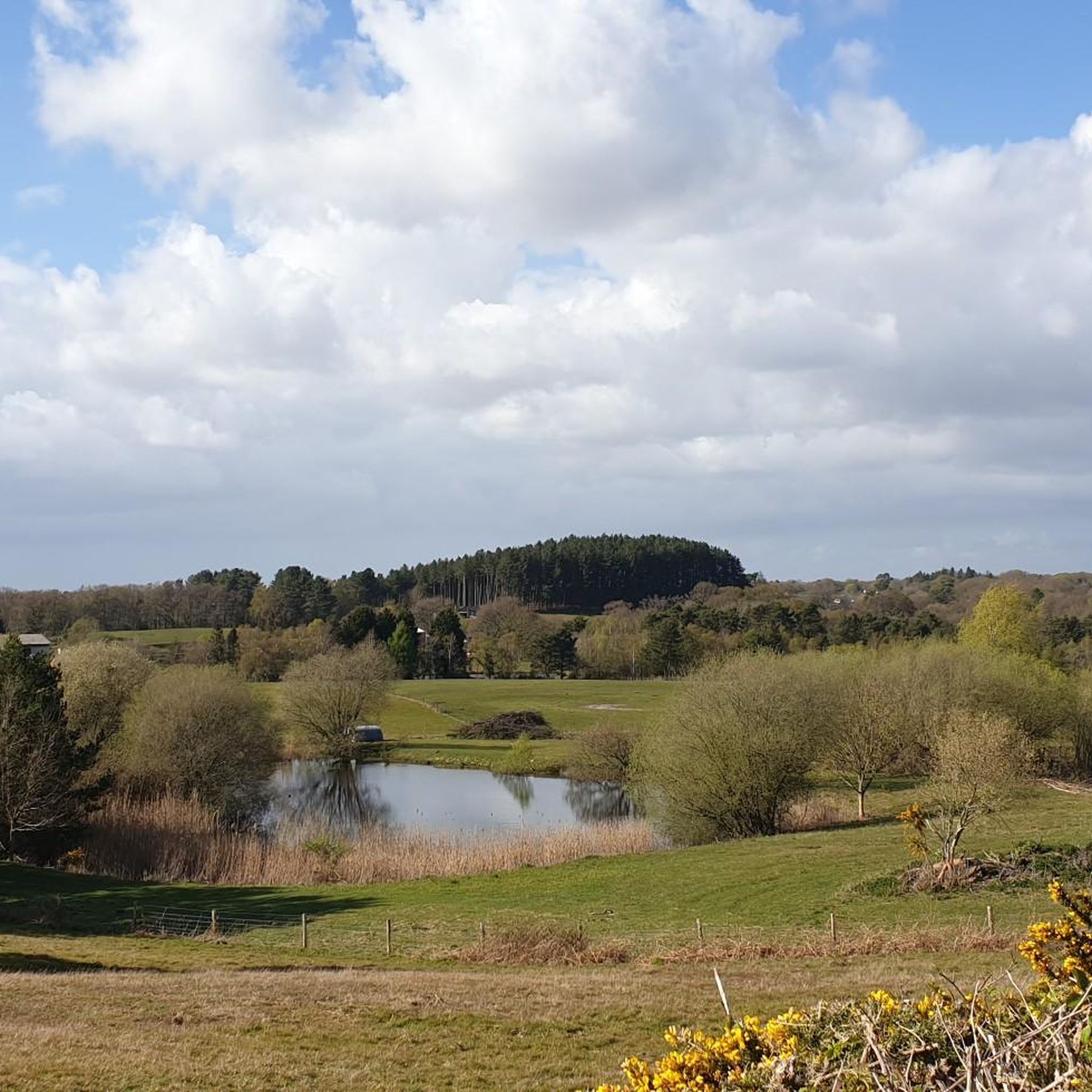
The white-coated Ibsley Common triangulation point is easy to see from a distance, sitting right next to the Whitefield Plantation. It's at 77m, surrounded by beautiful moorland and offering gorgeous far-reaching views of the area.
0
0
Everywhere I looked on this section were wild deer. The only time I've ever seen a white deer. it looked so majestic amongst the other deer.
2
0

Abbots Well was formerly known as Alleynewell within the ancient boundaries of the New Forest when defined during the reign of King Edward I (1272-1307). This perpetual spring was, for centuries, the main watering place for travellers on the old road to Southampton. Theoretically the chamber on the left is for forest fauna and under the wooden flap on the right water intended for human consumption. I’m not sure I’d drink from it though - make your own mind up!!!
2
0

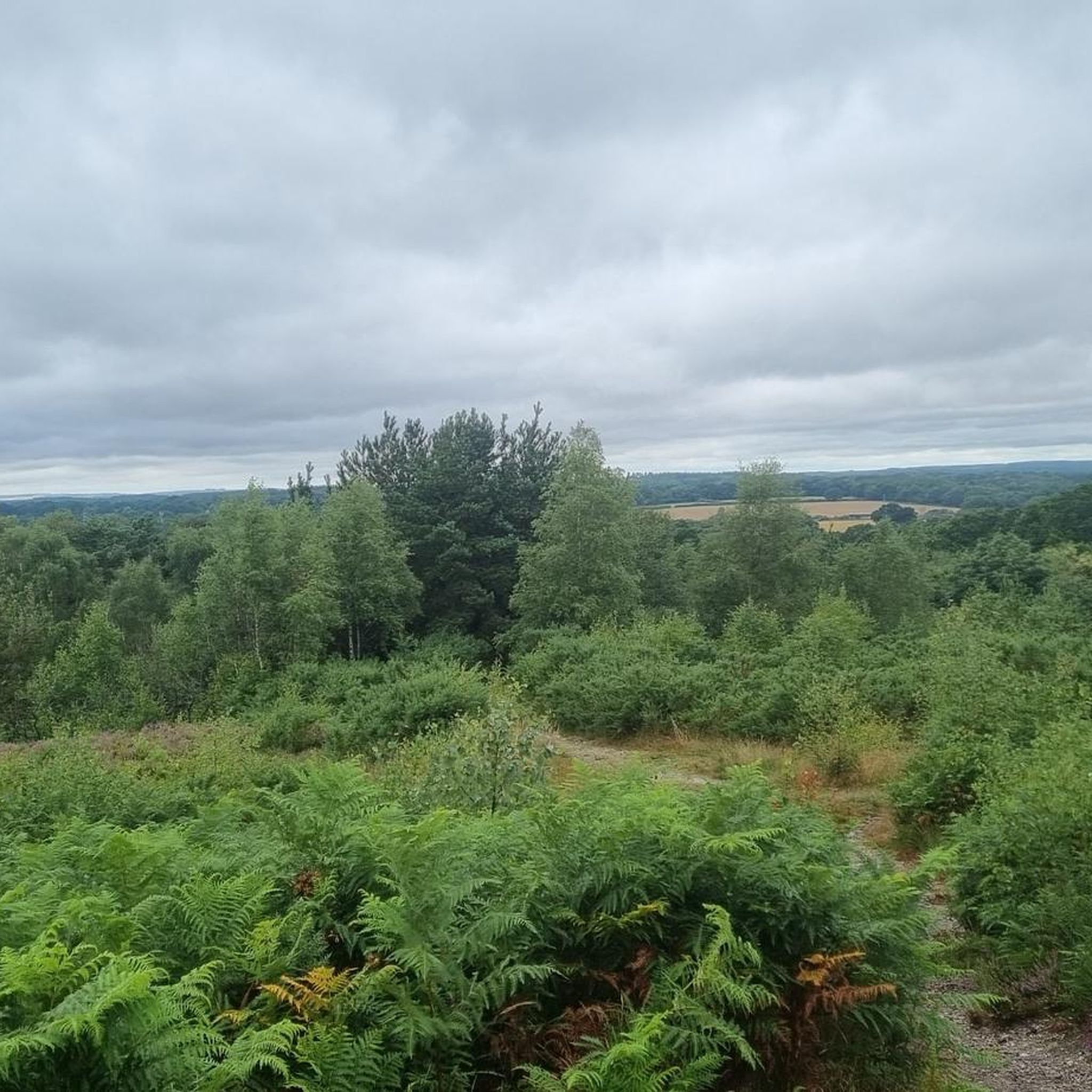
The trig point on Bull Barrow to the north of Holt Heath stands at 57m. The barrow is Neolithic or Bronze age.
0
0

Bokerley Dyke may have originated in the Bronze Age or Early Iron Age and formed a political and cultural boundary. It was cut through by a Roman Road (Ackling Dyke running between Old Sarum and Badbury Rings) in the 1st century.
0
0
Frequently Asked Questions
What are some of the most notable natural monuments to visit near Edmondsham?
The area around Edmondsham offers a diverse range of natural monuments. You can explore the ancient earthwork of Bokerley Dyke, a significant historical boundary. For panoramic views, visit the Ibsley Common Triangulation Point or the Bull Barrow Trig Point. Don't miss Abbots Well, an ancient perpetual spring with centuries of history, or the unique geological feature of Mutton Hole, where a stream disappears into a deep swallow hole.
What kind of natural features can I expect to see around Edmondsham?
You'll encounter a variety of natural features, including extensive moorland, ancient woodlands with stately oaks and beeches, and unique geological formations like the Mutton Hole swallow hole and the Castle Hill Gravel Pit, which showcases rounded flint pebbles. The area also features prehistoric earthworks and historical springs.
Are there any historical natural monuments in the area?
Yes, several natural monuments around Edmondsham have significant historical value. Bokerley Dyke is a substantial linear earthwork dating back to the Bronze Age or Early Iron Age. Abbots Well is an ancient spring first recorded in 1215, serving as a crucial watering place for centuries. Additionally, the Bull Barrow Trig Point and Stephen's Castle are both Neolithic or Iron Age barrows.
Are there hiking trails near the natural monuments around Edmondsham?
While specific hiking trails directly linked to every natural monument aren't detailed, the region offers numerous opportunities for walking and running. For instance, you can find running routes that incorporate features like Bokerley Dyke. You can explore various running trails in the area by checking the Running Trails around Edmondsham guide.
What outdoor activities can I do near these natural monuments?
Beyond exploring the monuments themselves, the area is excellent for various outdoor activities. You can find numerous routes for road cycling and touring cycling, often passing by or near these natural sites. For detailed routes, refer to the Road Cycling Routes around Edmondsham and Cycling around Edmondsham guides.
Are there any viewpoints offering panoramic views?
Yes, several natural monuments provide excellent views. The Ibsley Common Triangulation Point, at 77 meters, offers gorgeous far-reaching views of the surrounding moorland. The Bull Barrow Trig Point also provides impressive vistas. Additionally, Stephen's Castle, an Iron Age barrow, offers vast views, with Bournemouth and Ringwood visible to the south.
Are there family-friendly natural monuments around Edmondsham?
Absolutely. Abbots Well is considered family-friendly, offering a glimpse into history. The Ibsley Common Triangulation Point is also suitable for families, with its accessible views. For a chance to spot wildlife, the White Deer in New Forest National Park is a great family option.
What is the best time of year to visit Edmondsham's natural monuments?
The best time to visit is generally during spring, summer, and early autumn (April to October) when the weather is milder and the landscapes are vibrant. These seasons are ideal for walking, cycling, and enjoying the views. Winter can also be beautiful, especially for crisp, clear days, but some paths might be muddy, and daylight hours are shorter.
Can I bring my dog to the natural monuments?
Many natural areas and trails around Edmondsham are dog-friendly, especially those on common land or within woodlands. However, it's always recommended to keep dogs on a lead, particularly near livestock, wildlife, or in areas with ground-nesting birds. Please check local signage for specific restrictions at each site.
Are there any unique geological formations to see?
Yes, the area features some fascinating geological sites. Mutton Hole in Edmondsham is a remarkable doline or swallow hole where a stream disappears into a 6-meter deep chasm, clearly illustrating geological processes. The Castle Hill Gravel Pit is also significant for its rounded flint pebbles and graded bedding, offering insights into the region's palaeoenvironment.
What do visitors enjoy most about the natural monuments around Edmondsham?
Visitors frequently appreciate the blend of natural beauty and historical significance. The far-reaching views from spots like Ibsley Common Triangulation Point are highly praised. The ancient earthworks like Bokerley Dyke offer a tangible connection to the past, while the chance to spot wild deer, including rare white deer, in locations like the New Forest National Park is a memorable experience.
Are there places to eat or stay near the natural monuments?
Edmondsham and nearby villages offer various options for refreshments and accommodation. You can find local pubs and cafes in the surrounding areas that cater to visitors. For specific recommendations, it's best to check local listings or search for options in Edmondsham, Cranborne, or Verwood.
Most popular attractions around Edmondsham

Get inspired with the komoot mobile app


Explore more
Extend your search for the best caves by checking out these guides of the top ones around Edmondsham:
