Top 11 Natural Monuments around Retuerta
Best natural monuments around Retuerta are found in a region characterized by the Duero River, extensive vineyards, and pine forests. This area, situated near the historic Abadía Retuerta, offers a diverse natural environment. The landscape provides a setting for appreciating serene riverside views and natural woodlands. It integrates natural beauty with the region's cultural and enological significance.
Best natural monuments around Retuerta
- The most popular natural monuments is View of Peña de Carazo, a viewpoint located near Santo Domingo de Silos. This spot offers views of the surrounding high mountains of limestone rocks.
- Another must-see spot is Alto de Peña Alta (1078 m), a mountain pass. From its elevation of 1070 meters, visitors can see bluish peaks on the horizon and enjoy a Mediterranean landscape within the Sabinares de Arlanza - La Yecla natural park.
- Visitors also love El Churrión Waterfall, a small waterfall with dizzying walls. The walk to this natural monument is considered easy, and deer may be seen in the area.
- Retuerta is known for its diverse natural features, including mountain passes, viewpoints, and waterfalls. The region offers a variety of natural monuments to see and explore, from high-altitude vistas to serene water features.
- The natural monuments around Retuerta are appreciated by the komoot community, with 12 upvotes and 5 photos shared by visitors.
Last updated: November 1, 2026
Viewpoint over the Yecla Gorge
Highlight • Gorge
Translated by Google •
Tip by

Alto de Peña Alta (1078 m)
Highlight • Mountain Pass
Translated by Google •
Tip by

Sign up now to discover places like this
Get recommendations on the best single tracks, peaks, & plenty of other exciting outdoor places.
View of Peña de Carazo
Highlight • Viewpoint
Translated by Google •
Tip by

Castillejo
Highlight • Summit
Translated by Google •
Tip by
Dolmen of Cubillejo de Lara
Highlight • Historical Site
Translated by Google •
Tip by
Sign up for free to discover even more natural monuments around Retuerta.
Already have an account?
Start today with a free account
Your next adventure awaits.


Tips from the Community

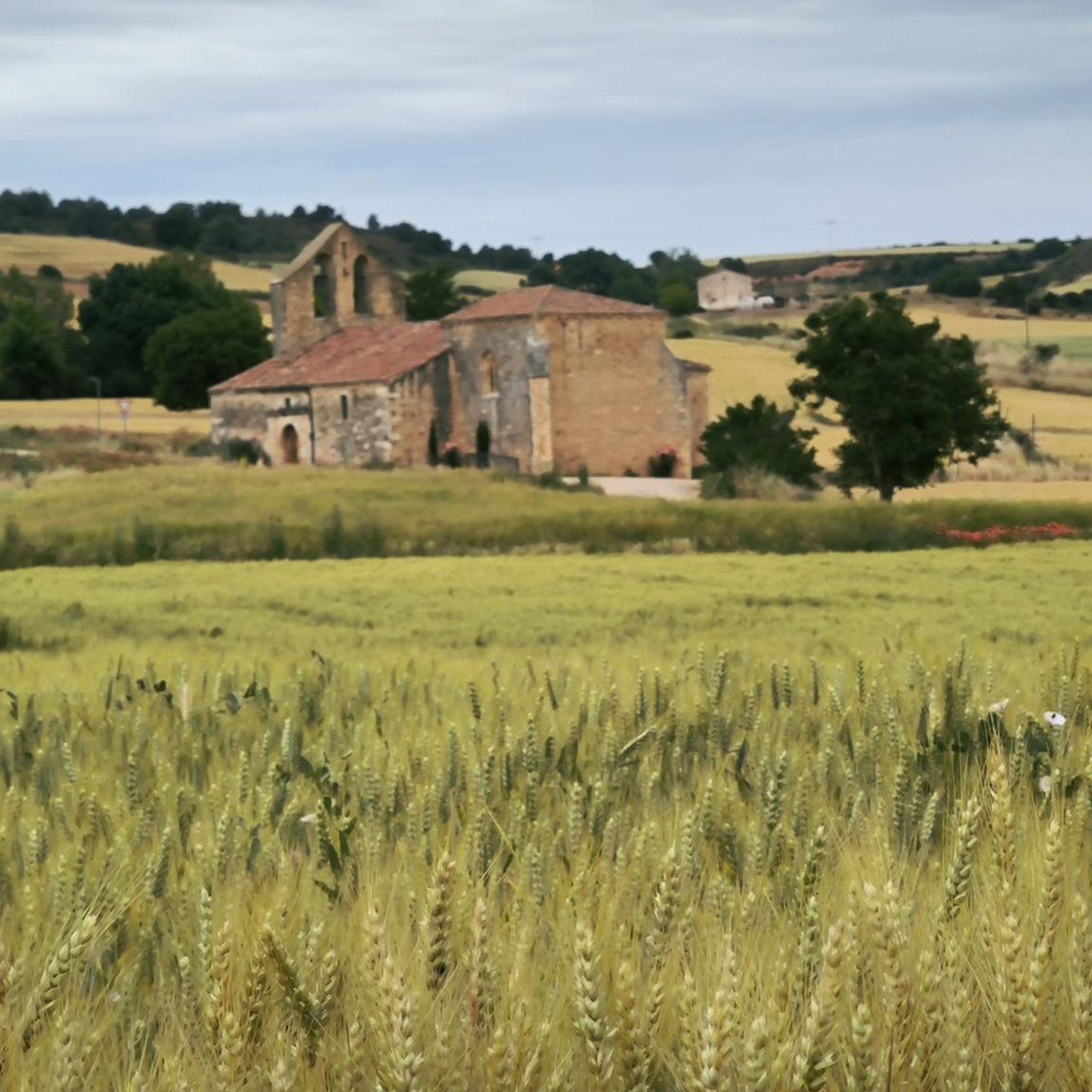
El Castillejo (1,347 m) is a twin peak located in the Sierra de las Mamblas, 5 km north of the town of Covarrubias (Burgos). It owes its name to its natural defensive rock formations. On its summit, an artificial cavity is preserved that served as a strategic watchtower. The mountain offers a spectacular panoramic view of the Arlanza valley and the Sierra de la Demanda. At its foothills lies the Hermitage of Our Lady of Mamblas (Ermita de Nuestra Señora de Mamblas). The terrain features rocky barriers that served as a defensive settlement in antiquity.
0
0

Spectacular area for hiking routes
0
0
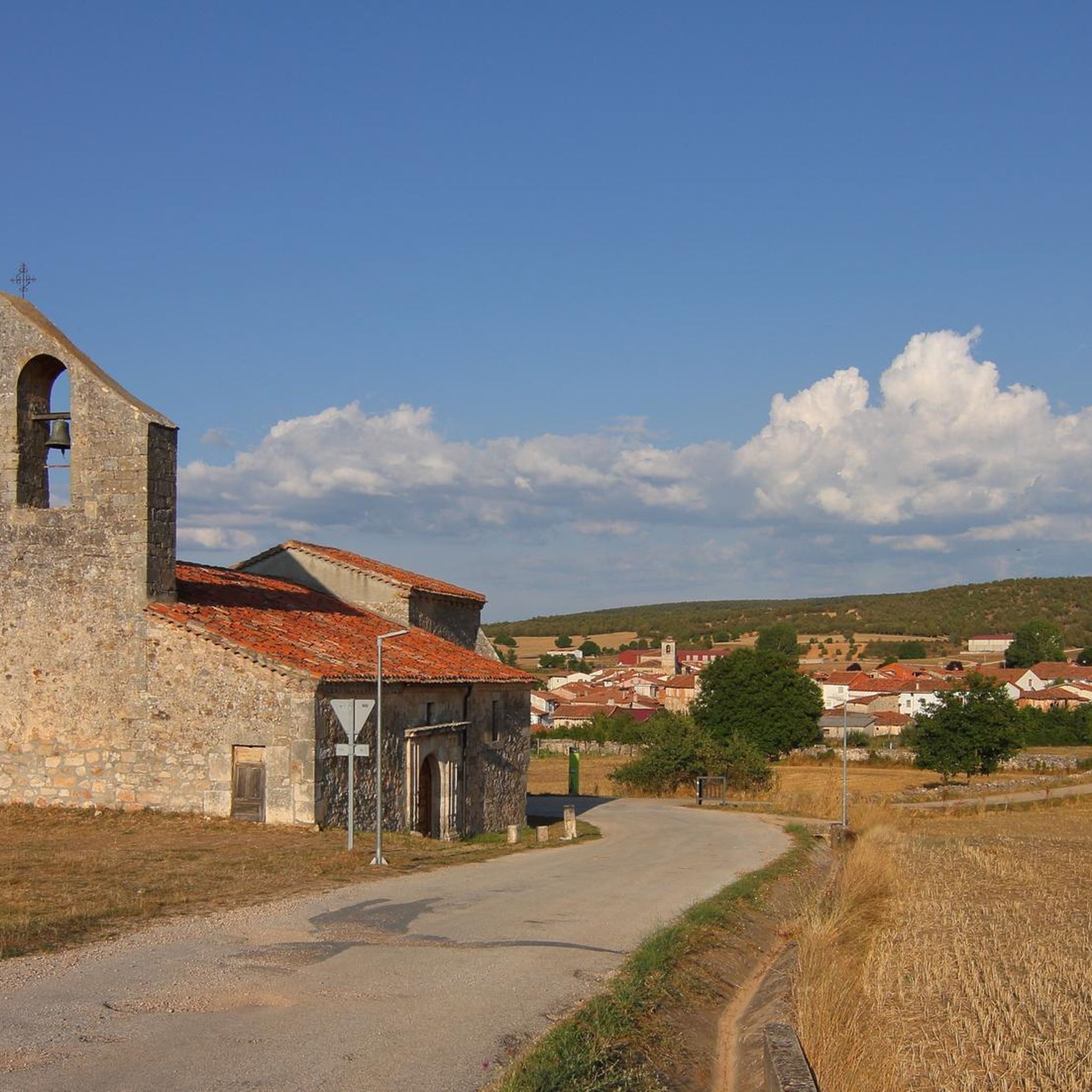
The Cubillejo/Mazariegos dolmen is considered the prototype of the megalithic passage tomb and preserves, on one of the large stone blocks that form its structure, a series of interesting rock carvings.
0
0


impressive canyon with walkways. Bikes must be left parked, they do not fit
0
0
Spectacular canyon, which can be visited via the walkways provided for this purpose. Be careful, bicycles do not fit, as it has been verified.
0
0

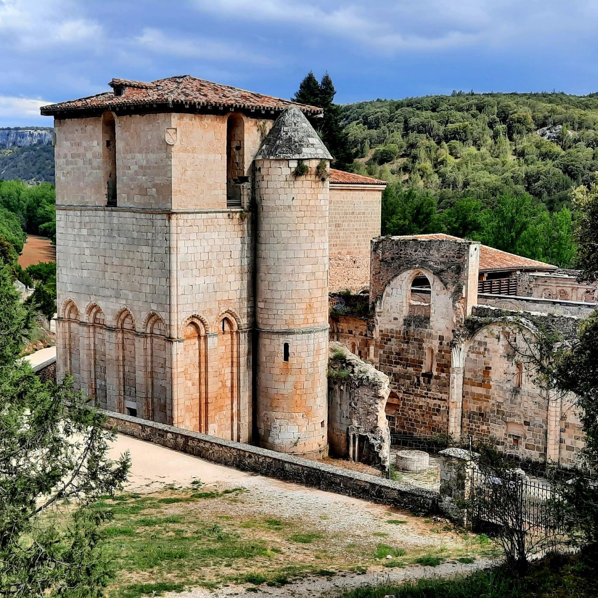
About three kilometers southwest of Silos lies a gorge also known as Desfiladero de la Yecla. A footpath leads through the deep cut in the limestone cliffs, whose valley floor the sun barely reaches. Colonies of griffon vultures and other birds of prey live in this adventurous landscape.
2
0
Frequently Asked Questions
What kind of natural features can I expect to see around Retuerta?
The region around Retuerta is characterized by the scenic Duero River, extensive vineyards, and tranquil pine forests. You can also discover impressive limestone rock formations, such as those visible from the View of Peña de Carazo, and charming water features like the El Churrión Waterfall.
Are there good viewpoints to enjoy the landscape around Retuerta?
Yes, there are several excellent viewpoints. The View of Peña de Carazo, located near Santo Domingo de Silos, offers stunning vistas of the surrounding high mountains of limestone rocks. Another notable spot is Alto de Peña Alta (1078 m), where you can see bluish peaks on the horizon and enjoy the Mediterranean landscape within the Sabinares de Arlanza - La Yecla natural park. Additionally, Castillejo provides spectacular views, including the Sierra del Mencilla to the North and the Sierra de Cervera to the South.
What outdoor activities can I do near these natural monuments?
The area around Retuerta offers a variety of outdoor activities. You can explore numerous running trails, such as the 'Desfiladero de La Yecla y Monasterio de Santo Domingo de Silos' circular route. For mountain biking enthusiasts, there are challenging routes like 'Sad Hill - circular from Covarrubias'. Road cyclists can enjoy longer rides, including the 'Romanesque Bridge of Los Ausines' loop. You can find more details and routes in the dedicated guides for Running Trails around Retuerta, MTB Trails around Retuerta, and Road Cycling Routes around Retuerta.
Are there family-friendly natural attractions in the Retuerta area?
Yes, the El Churrión Waterfall is considered a family-friendly destination. The walk to this small waterfall is described as easy, making it suitable for visitors of all ages. If you're lucky, you might even spot deer in the area.
What is the best time to visit the natural monuments around Retuerta?
While specific seasonal recommendations for all natural monuments are not provided, the region's Mediterranean landscape and outdoor activities suggest that spring and autumn would offer pleasant temperatures for exploration. Summer can be warm, while winter might be cooler, especially at higher elevations like Alto de Peña Alta.
Can I find historical sites integrated with the natural landscape?
Yes, the Dolmen of Cubillejo de Lara is a significant historical site that blends with the natural surroundings. This funerary megalithic monument, approximately 5,000 years old, is a declared Asset of Cultural Interest and features interesting rock carvings. Additionally, the historic Abadía Retuerta itself, situated on the Duero River, offers a rich cultural experience within a beautiful natural setting.
What is the difficulty level of trails leading to these natural monuments?
The difficulty levels vary. The walk to El Churrión Waterfall is considered easy. Other highlights like the View of Peña de Carazo, Alto de Peña Alta (1078 m), Dolmen of Cubillejo de Lara, and Castillejo are generally categorized as intermediate, suggesting moderate effort is required.
Are there opportunities for wildlife spotting?
Yes, particularly around the El Churrión Waterfall, visitors have reported seeing deer. The diverse natural environment, including pine forests and riverside areas, provides habitats for various local flora and fauna, offering opportunities for nature observation.
What makes the Sabinares de Arlanza - La Yecla natural park special?
The Sabinares de Arlanza - La Yecla natural park is home to unique Mediterranean landscapes. Within this park, you can find the Alto de Peña Alta (1078 m), which offers panoramic views of bluish peaks and a distinctive natural setting. The park is known for its ancient juniper forests (sabinares) and dramatic geological formations.
What do visitors enjoy most about the natural monuments around Retuerta?
Visitors appreciate the serene landscapes, the integration of natural beauty with the region's cultural and enological significance, and the variety of natural features. Highlights like the View of Peña de Carazo and Alto de Peña Alta are praised for their spectacular views, while the easy walk to El Churrión Waterfall is enjoyed for its accessibility and potential for wildlife sightings.
Are there any specific regulations or permits needed for hiking in the natural areas?
The provided information does not specify any permits required for general hiking in the natural areas around Retuerta, including the Sabinares de Arlanza - La Yecla natural park. However, it is always advisable to respect local regulations, stay on marked trails, and practice Leave No Trace principles to preserve the natural environment.
Most popular attractions around Retuerta

Get inspired with the komoot mobile app


Explore more
Extend your search for the best caves by checking out these guides of the top ones around Retuerta:
