Top 16 Natural Monuments around Minglanilla
Best natural monuments around Minglanilla offer a diverse landscape for exploration. The region features significant natural attractions, including extensive reforestation projects and cascading waterfalls. These areas provide opportunities to experience the local environment and its unique geological formations. Minglanilla's natural monuments are characterized by their ecological importance and varied terrain.
Best natural monuments around Minglanilla
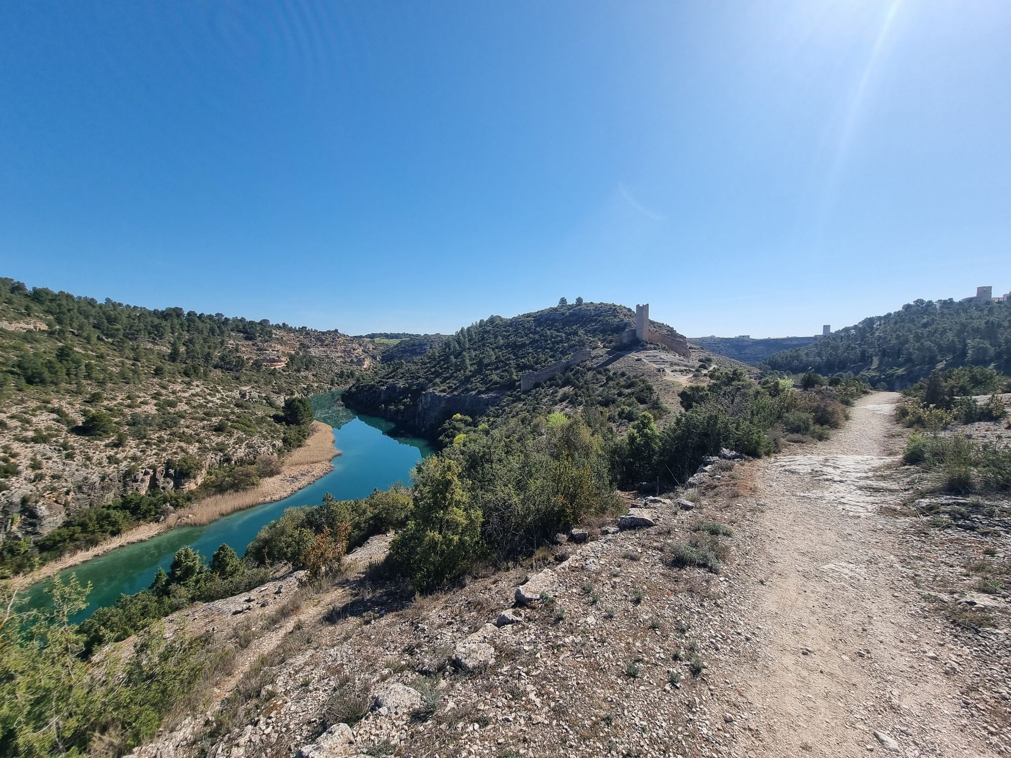
- The most popular natural monuments is Turia-Cabriel Nature Trail (section), a trail that connects two major rivers, the Turia and the Cabriel. This section…
Last updated: July 1, 2026
Turia-Cabriel Nature Trail (section)
Highlight (Segment) • Trail
Translated by Google •
Tip by

El Moluengo
Highlight • Summit
Translated by Google •
Tip by
Sign up now to discover places like this
Get recommendations on the best single tracks, peaks, & plenty of other exciting outdoor places.
Sign up for free
Peña Azul Viewpoint
Highlight • Viewpoint
Translated by Google •
Tip by
Hoz del Rabo de la Sartén Viewpoint
Highlight • Viewpoint
Translated by Google •
Tip by

Cabriel Valley Viewpoint
Highlight • Viewpoint
Showing Translation
Tip by

Sign up for free to discover even more natural monuments around Minglanilla.
Sign up for free
Already have an account?
Start today with a free account
Your next adventure awaits.
Login or Signup
Other adventures around Minglanilla

Tips from the Community

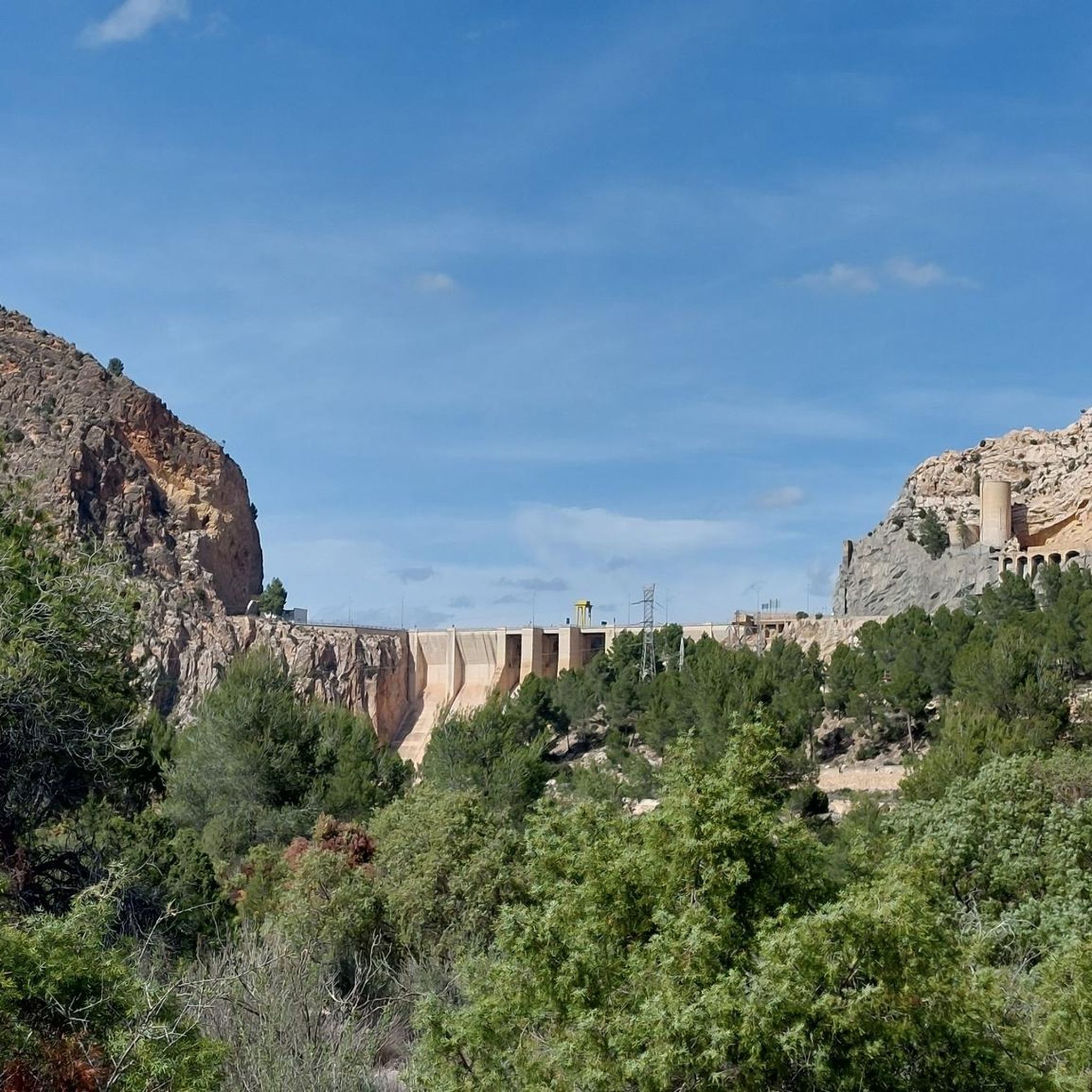
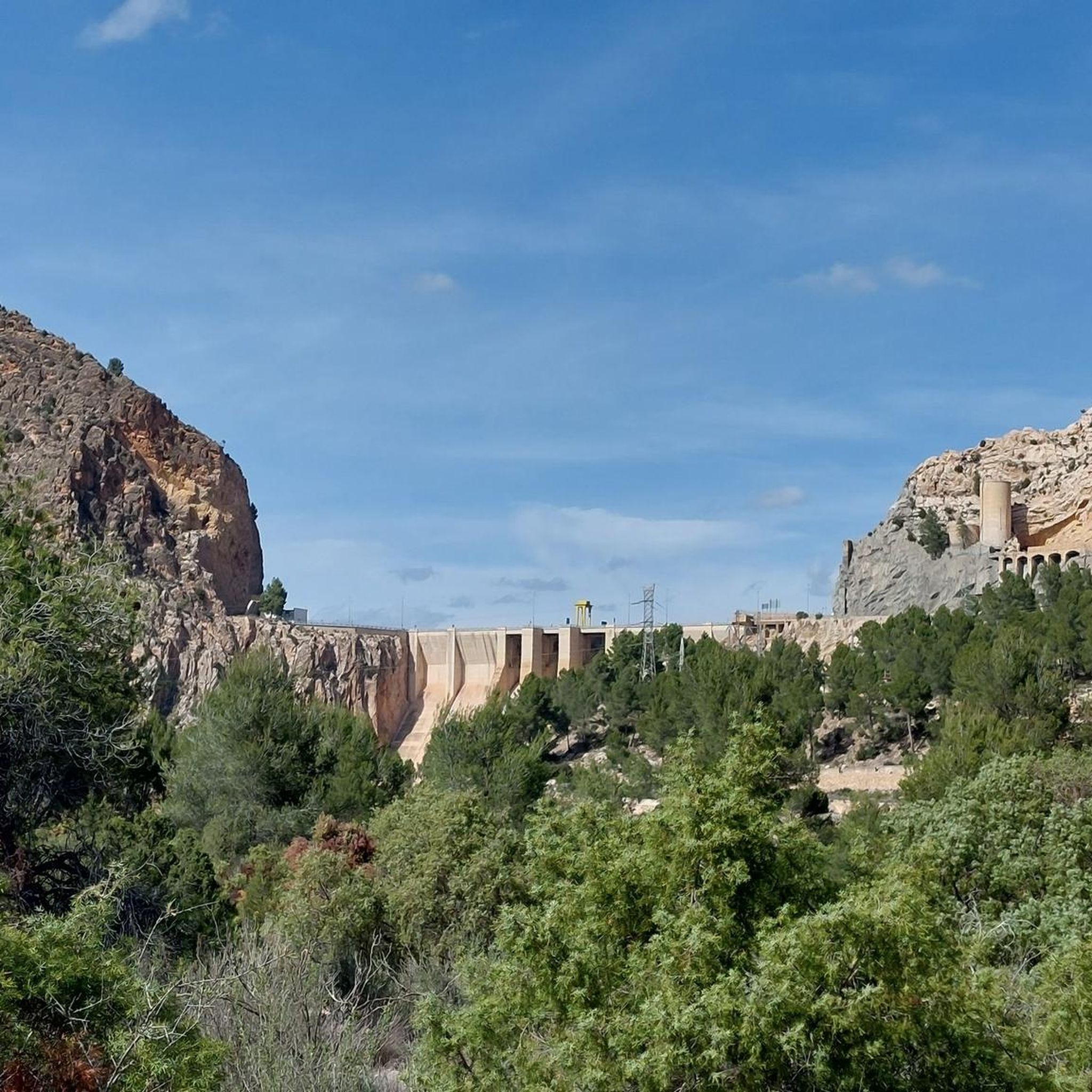
Beautiful viewpoint of the dam, the river and the factory.
11
0

It is a mountain peak located in the vicinity of the Valencian municipality of Villargordo del Cabriel, in the enclave of the Hoces del Cabriel Natural Park, a privileged natural environment that serves as a border with the neighboring region of Castilla – La Mancha. This peak has an altitude of around 1040 m and from its summit it is possible to obtain privileged views of the Sierra del Rubial to which this rocky promontory belongs. The panoramic view offered from this point allows you to see all the towns in the Requena-Utiel region in which this Natural Park is included. Likewise, from the Moluengo peak it is possible to see the depression of the Cabriel River and the neighboring plains of Cuenca. It is possible to go up to the Moluengo peak and cross the privileged natural environment that surrounds it thanks to one of the routes that cross the Hoces del Cabriel Natural Park, known as the yellow route, which starts from the town of Villargordo del Cabriel and leads the traveler to the top of Moluengo. Along this itinerary, which has an extension of 16 km, it is possible to visit places such as the town of Moluengo, the Fonseca viewpoint, the Oliva fountain or the Vadocañas bridge, over the waters of the Cabriel river and which constitutes the point at which the route ends.
0
0

If you go around the Fuente de Oliva counterclockwise (which I recommend), this is the second viewpoint and the first where you can see the Rio Cabriel in the gorges below beautiful cliffs. Continue to the right of the first bench along the cliff, and you will find a second bench and more beautiful views.
1
0

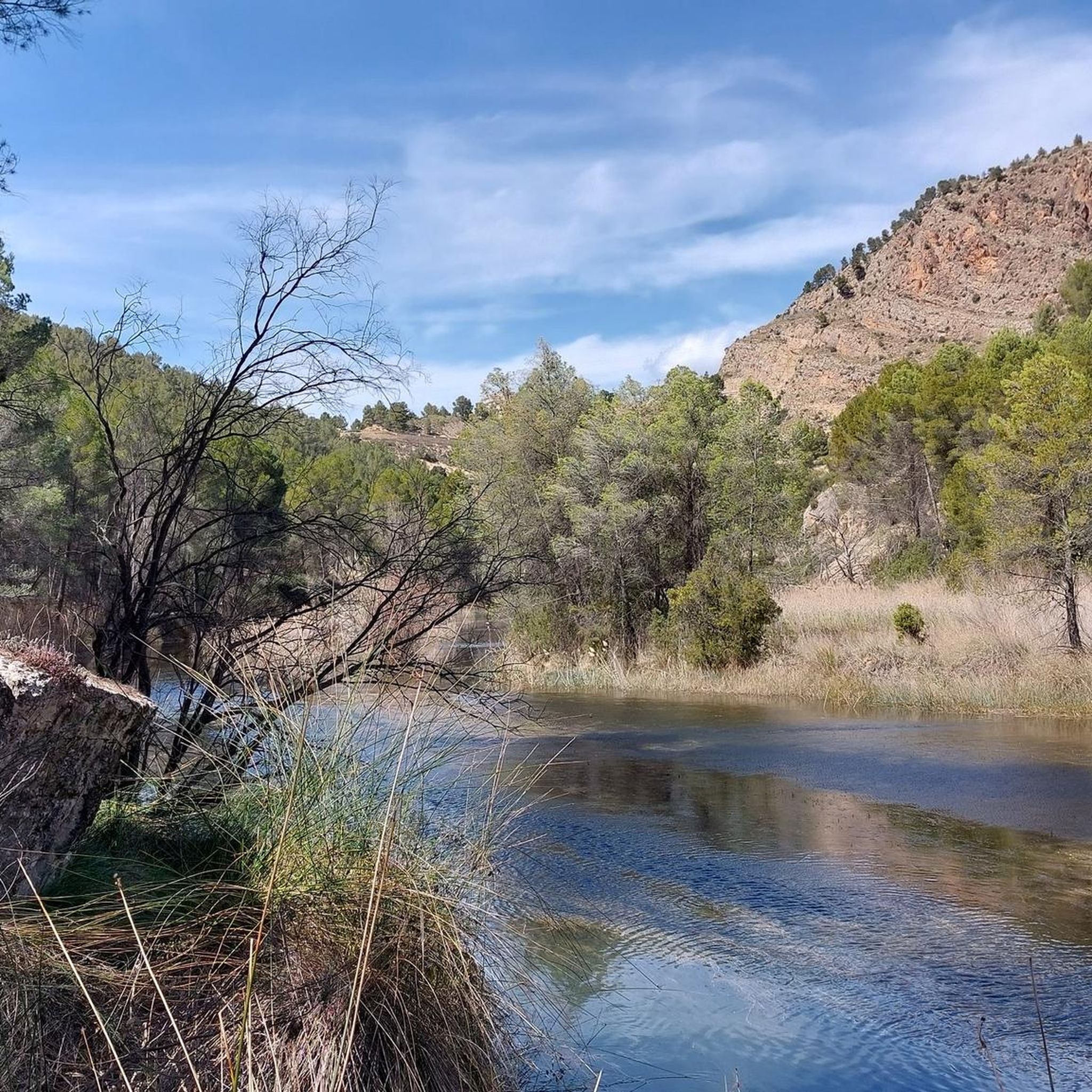
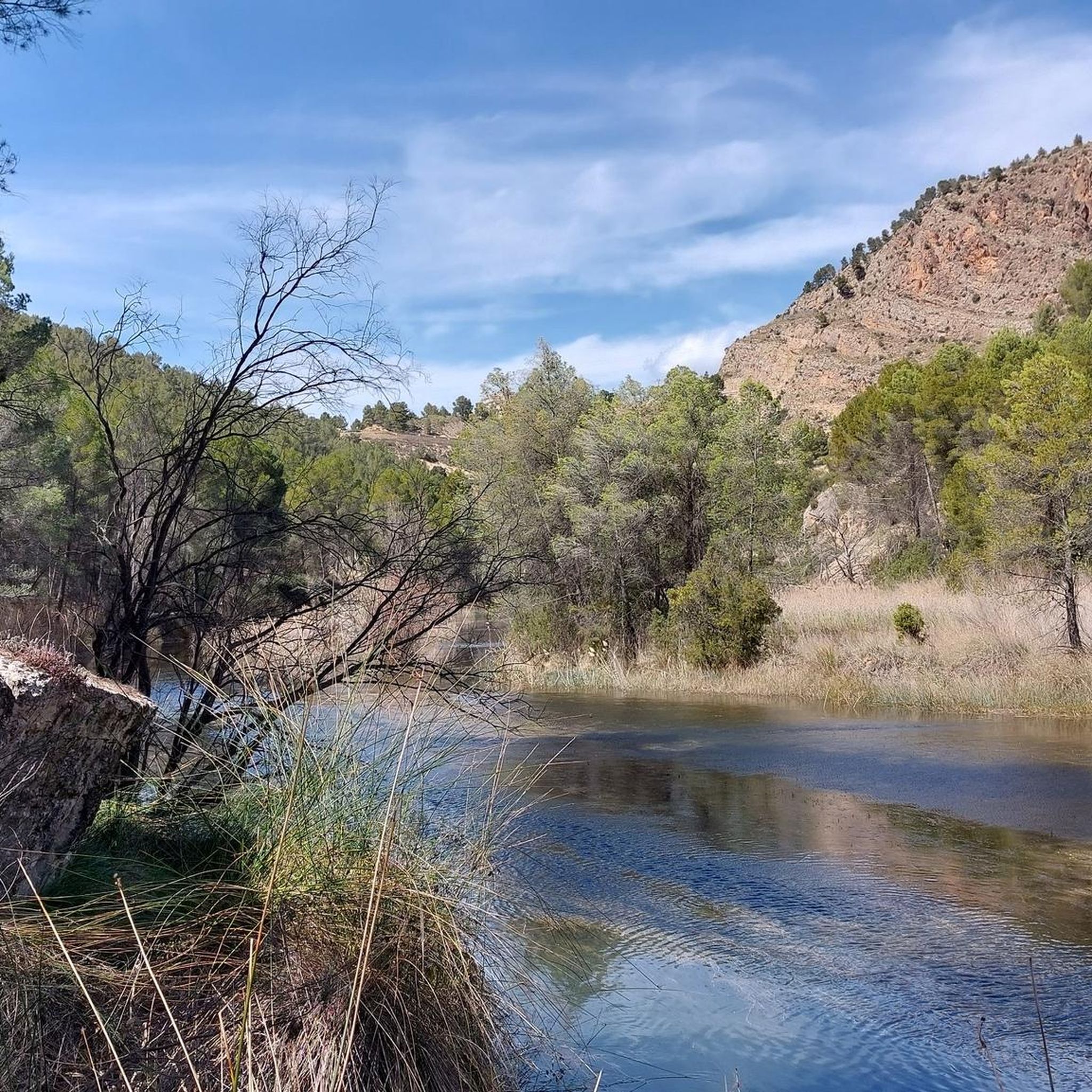
Viewpoint of the Fuente de Oliva route (PR-CV 344) with beautiful views of the gorges of the Cabriel River and its impressive cliffs. The arrival path is completely along a forest track and is a very pleasant and pleasant route with a lot of trees.
0
0

This viewpoint is located on the CV-4661 highway near the Contreras reservoir. From this point we can enjoy the views of Peñablanca (viewpoint located on a large rock) and Los Cuchillos (limestone ridges). You can also distinguish the Cabriel River and the Contreras Dam. The viewpoint has an information panel.
4
1
Top of the peak "El Moluengo" at 1023 m above sea level, highest point of the Natural Park of Las Hoces del Cabriel. It allows to appreciate beautiful views to all the valley of the Cabriel, the province of Valencia and the one of Cuenca.
4
0
Viewpoint of the Fuente de Oliva route (PR-CV 344) with beautiful views of the gorges of the Cabriel River and its impressive cliffs. The arrival path is completely along a forest track and it is a very pleasant and pleasant route with many trees.
3
0
Top of the mountain "El Moluengo" at 1023 meters above sea level with beautiful views of the entire Cabriel valley, the provinces of Valencia and Cuenca.
3
0
Frequently Asked Questions
What are the primary types of natural monuments to explore around Minglanilla?
Minglanilla offers a diverse range of natural monuments, including extensive reforestation projects like the Man-Made Forest, refreshing waterfalls such as Matun-og Falls, and intriguing cave systems in Campo 7. You can also find scenic trails and viewpoints offering panoramic vistas of the surrounding landscape.
Are there any significant reforestation projects or forests to visit in Minglanilla?
Yes, the most prominent is the Man-Made Forest, also known as the Osmeña Reforestation Project. This vast area, established in 1916, is a lush, biodiverse ecosystem perfect for peaceful nature walks, trekking, and photography. It plays a crucial role in environmental conservation.
Where can I find waterfalls in Minglanilla, and what is the experience like?
Matun-og Falls is a notable natural gem in Minglanilla. Reaching it involves an adventurous trek through rivers and over boulders, leading to 20-25 foot cascading waters. The area is known for its cool, refreshing waters and offers a secluded, pristine experience away from crowds.
Are there opportunities for caving or exploring geological formations in Minglanilla?
Yes, Barangay Campo 7, home to the Man-Made Forest, also features a system of seven caves. These caves offer opportunities for spelunking. It's recommended to coordinate with local barangay officials for safety and guidance, as established trails may still be under development.
What are some popular trails for cycling or mountain biking near Minglanilla's natural monuments?
The Turia-Cabriel Nature Trail (section) is a popular gravel road in excellent condition, ideal for cycling or mountain biking. It connects the Turia and Cabriel rivers and is protected by two natural parks. For more options, you can explore various MTB Trails around Minglanilla.
Which viewpoints offer the best panoramic views of the natural landscape?
You can enjoy stunning views from several viewpoints. The Peña Azul Viewpoint offers beautiful vistas of the valley and the Hoces del Cabriel Natural Park. Another excellent spot is the Cabriel Valley Viewpoint, which provides panoramic views of Peñablanca, Los Cuchillos, the Cabriel River, and the Contreras Dam.
Are there family-friendly natural monuments or activities in the area?
Many of the natural monuments, including the Man-Made Forest, offer serene environments suitable for family walks and picnics. Viewpoints like Peña Azul Viewpoint and Cabriel Valley Viewpoint are also accessible via well-maintained tracks, making them suitable for families. The Turia-Cabriel Nature Trail (section) is also categorized as family-friendly.
What kind of wildlife can be spotted in Minglanilla's natural areas?
The Man-Made Forest is a rich habitat supporting 75 species of flora, 30 species of birds, various amphibians, mammals, reptiles, and 32 species of insects and spiders. Bird watching and observing diverse wildlife are popular activities within this verdant sanctuary.
What hiking opportunities are available near Minglanilla's natural monuments?
Minglanilla offers various hiking trails. For instance, the trek to Matun-og Falls provides an immersive experience. You can also find several routes like the Cuchillos de Contreras Trail or Los Cuchillos del Cabriel Trail. For a comprehensive list of options, check out the Hiking around Minglanilla guide.
What do visitors appreciate most about the natural monuments around Minglanilla?
Visitors frequently highlight the serene and rejuvenating experience offered by the lush environments, the adventurous trekking opportunities to places like Matun-og Falls, and the stunning panoramic views from various viewpoints. The area's ecological significance and opportunities for photography are also highly valued.
Are there any other notable viewpoints besides Peña Azul and Cabriel Valley?
Yes, the Hoz del Rabo de la Sartén Viewpoint, located in the Hoces del Cabriel Nature Reserve, offers beautiful views of the Cabriel River gorges and impressive cliffs. Another panoramic point is La Fonseca Viewpoint, providing vistas of the Cabriel river valley and the striking 'cuchillares' of the Hoces del Cabriel Natural Park.
Most popular attractions around Minglanilla

Get inspired with the komoot mobile app


Explore more
Extend your search for the best caves by checking out these guides of the top ones around Minglanilla:
