Top 12 Natural Monuments around Valdaracete
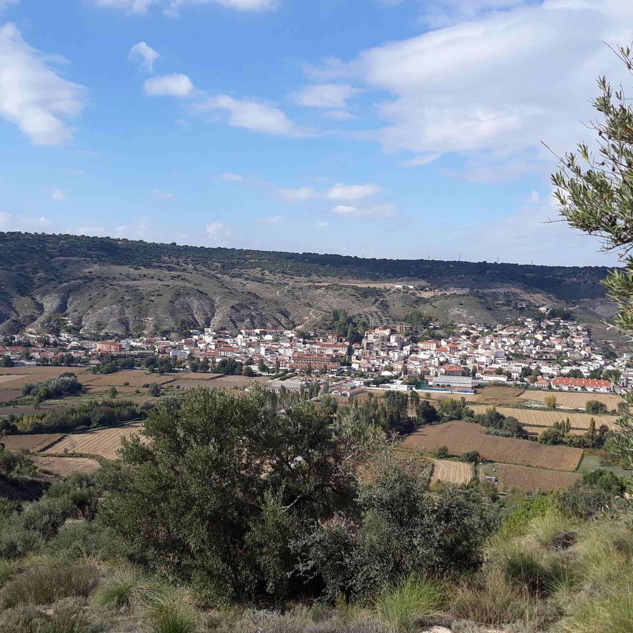
Best natural monuments around Valdaracete are characterized by a landscape shaped by the Tajuña River and its geological features. The region features a contrast between the fertile river valley and drier surrounding slopes, with formations of gypsum, marl, and limestone. This area offers opportunities to explore diverse natural attractions, including riverine ecosystems and unique geological formations. The Tajuña Greenway, a converted railway line, provides accessible routes for experiencing the local flora and agricultural landscapes.
Best natural monuments around Valdaracete
- The…
Last updated: July 1, 2026
Risco de las Cuevas of Perales de Tajuña
Highlight • Cave
Translated by Google •
Tip by

Azud de Vaciabotas
Highlight • Structure
This is the dam or weir where the Caz del Molino takes its water from the Tajuña River. It is also known as the Azud del Molino and …
Translated by Google •
Tip by
Sign up now to discover places like this
Get recommendations on the best single tracks, peaks, & plenty of other exciting outdoor places.
Sign up for free
Alcarrias of the Tajo: Gypsum, Marl, and Esparto
Highlight • Natural Monument
Translated by Google •
Tip by
Peña Bermeja
Highlight • Natural Monument
Translated by Google •
Tip by
Quejigo del Robledal
Highlight • Natural Monument
Translated by Google •
Tip by
Sign up for free to discover even more natural monuments around Valdaracete.
Sign up for free
Already have an account?
Start today with a free account
Your next adventure awaits.
Login or Signup

Tips from the Community

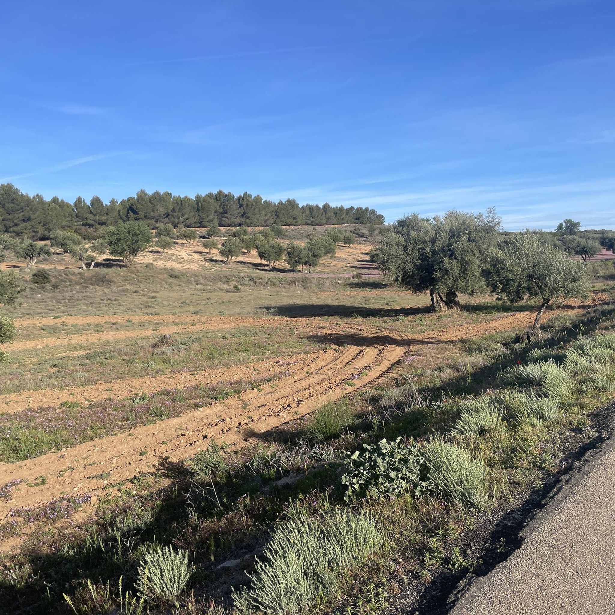
The Tajo River basin in the province of Madrid is a basin of limestone, gypsum, marl and sandstone sediments. The limestone is hard and has resisted erosion over time, forming large plateaus and agricultural wastelands known as alcarrias. On the other hand, the gypsum and marl are much softer materials and environmental precipitation has created a curious landscape of slopes, cliffs and test hills that precipitate dissolved salts to the bottom of the plains, determining the reliefs, textures and highly specialised plant species, with numerous peninsular endemic species.
0
0
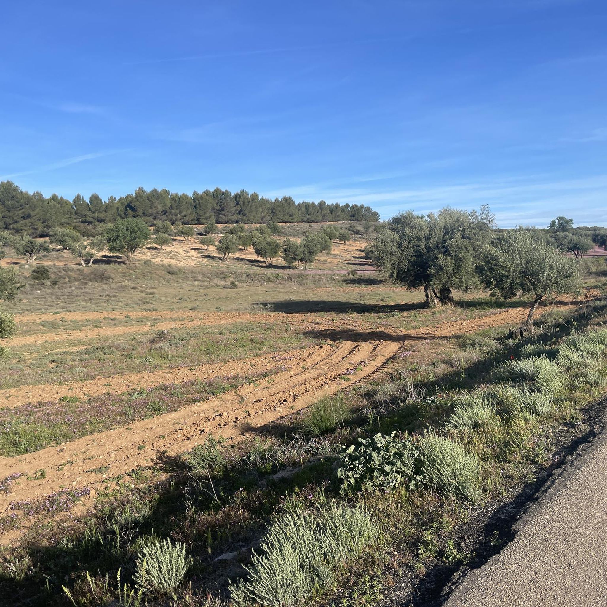
The Robledal de Brea is a valuable ecosystem of holm oak forests from La Mancha, with holm oaks, gall oaks and oaks with centuries-old specimens and great environmental quality due to their good state of conservation. At the entrance to the Monte is the Quegijo del Rebledal, tree number 315 in the catalogue of Singular Trees of the Community of Madrid, it is twenty metres high, three metres in circumference and has an estimated age of two hundred years.
0
0
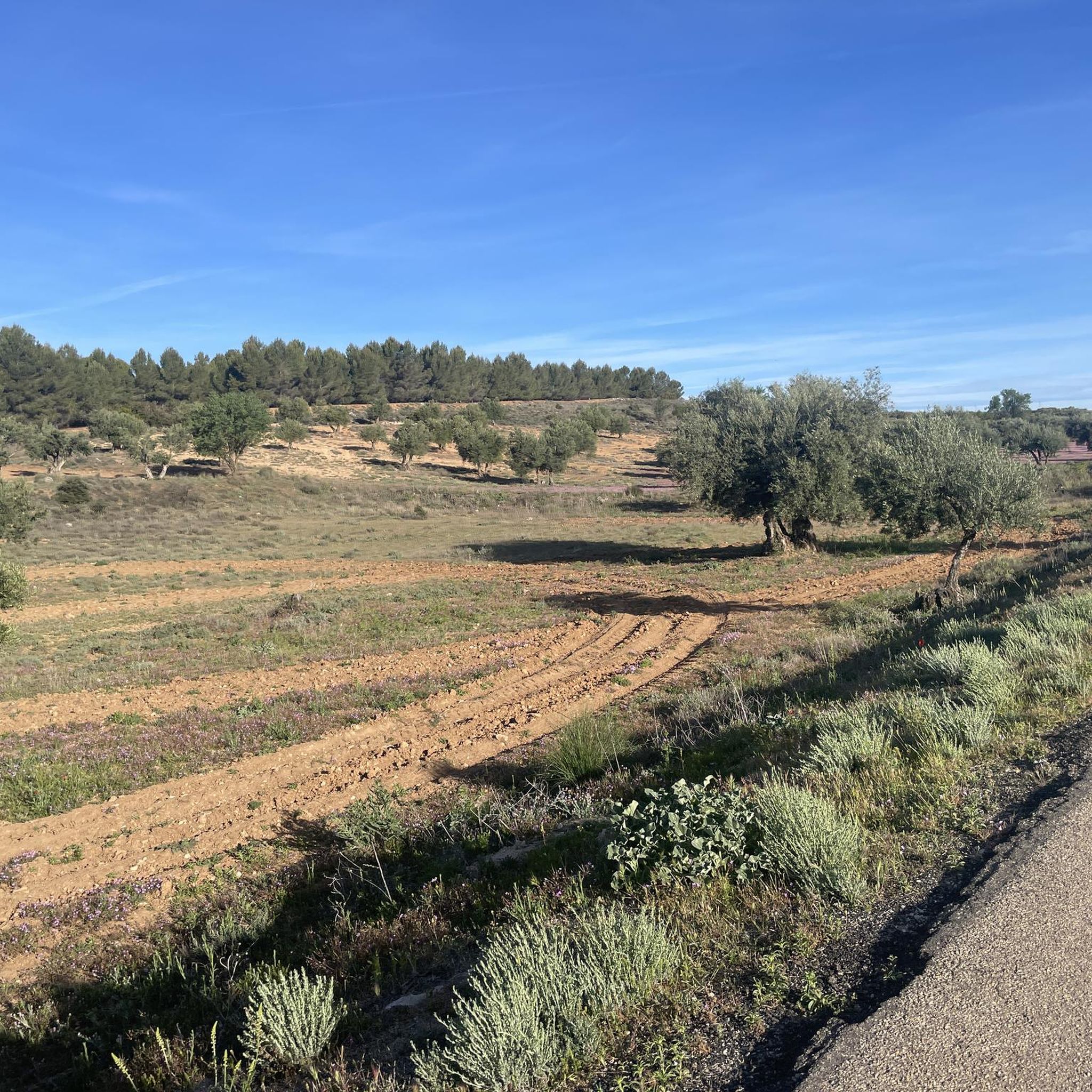
Peña Bermeja is a good geological observation point to appreciate the reliefs that have developed through river erosion over the last thirty million years, after the withdrawal of the immense sea that covered the entire territory. The cliffs of Peña Bermeja are common formations on the highest edges of the valleys, appearing in the limestones of the moorland that occupy the stratum located between the high plains and the slopes of impermeable marl and gypsum that fall towards the plain. In many places these limestone walls have been used to exploit stone quarries.
0
0
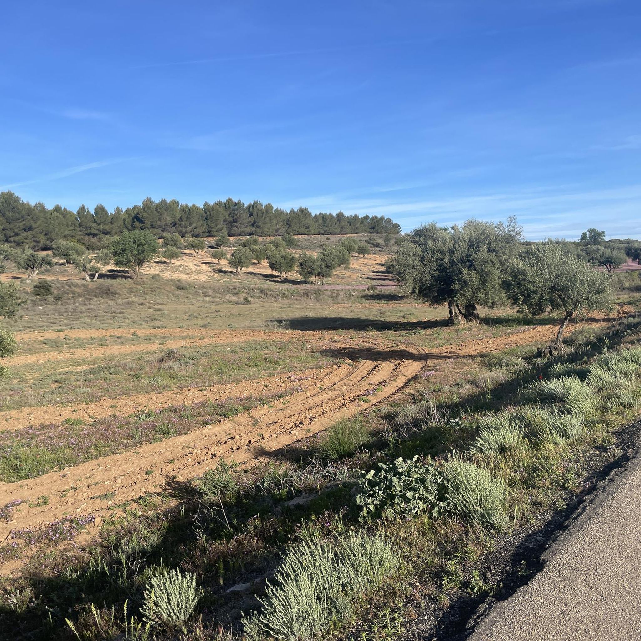
The caves of the primitive Carpetanian settlement of Caraca are a window in time, from the first Carpetanian inhabitants to the present day, representing the different cultures that have populated the Tajuña valley over time. The current state shows the deterioration typical of a hillside made of marl and gypsum that is brittle and easily eroded. In the time of the Carpetanians, it was a troglodyte settlement with interior passages that connected different galleries, had water channels, warehouses and houses protected from intruders at a certain height from the ground, accessed by ladders and ropes. In the middle of the last century, the Risco de las Cuevas was the setting for several films.
0
0
Vaciabotas Dam This is the dam or weir where the Caz del Molino takes its water from the Tajuña River. It is also known as the Azud del Molino and is one of the irrigation channels of the Madrid plain. The dam's waterfall is next to the old Molino Nuevo or Molino de la Isla, which is privately owned and documented in the Topographic Relations of Felipe II. The riverbank is a cool environment of giant trees and riverside vegetation. The irrigation channel and the course of the Tajuña are separated by the dam and until they meet again at the Puente del Palo they form the island that gives the place its name. In the area of Tielmes there are the Presón weirs, the Presa del Marqués and the Cantarranas Molino waterfall, all of Islamic origin.
1
0
Frequently Asked Questions
What are the most notable natural attractions around Valdaracete?
The most prominent natural attraction in the vicinity of Valdaracete is the Tajuña Greenway. This converted old railway line offers a unique blend of natural beauty and recreational opportunities, following the course of the Río Tajuña through a fertile river valley. Other significant natural monuments include the historical Risco de las Cuevas of Perales de Tajuña, the geological formations at Alcarrias of the Tajo: Gypsum, Marl, and Esparto, and the ancient Quejigo del Robledal.
What kind of natural features can I expect to see in the Valdaracete area?
The Valdaracete area is characterized by a striking contrast between the verdant Tajuña River valley and drier surrounding slopes. You'll encounter geological formations of gypsum, marl, and limestone, creating unique landscapes with cliffs and test hills. The riverbanks feature lush riverside vegetation and giant trees, while higher areas boast holm oak forests and ancient specimens like the Quejigo del Robledal.
Are there family-friendly natural monuments or activities around Valdaracete?
Yes, the Tajuña Greenway is an excellent option for families, offering an accessible and scenic route for walking and cycling. The Quejigo del Robledal, a significant oak tree within a well-preserved holm oak forest, is also categorized as family-friendly, providing a pleasant natural setting for a visit.
What outdoor activities can I do near the natural monuments in Valdaracete?
The region around Valdaracete is ideal for various outdoor activities, especially hiking and cycling. The Tajuña Greenway is a popular choice for both. You can find numerous routes, from easy to moderate, that allow you to explore the river valley, agricultural landscapes, and geological formations. For more detailed options, check out the hiking guide or the cycling guide for Valdaracete.
Are there any historical or cultural sites integrated with the natural monuments?
Yes, the Risco de las Cuevas of Perales de Tajuña is a significant historical site. It represents an ancient troglodyte settlement, showcasing the different cultures that have inhabited the Tajuña valley over time. These caves, carved into the marl and gypsum hillside, offer a glimpse into the region's past.
What is the Tajuña Greenway and what makes it special?
The Tajuña Greenway (Vía Verde del Tajuña) is a former railway line converted into a scenic path for hiking and cycling. It's special because it follows the lush Río Tajuña, providing a green oasis amidst drier landscapes. It features picturesque bridges, olive groves, and wide fields, and connects various towns, offering an accessible way to experience the local flora, agricultural heritage, and the historical charm of old railway infrastructure.
Where can I find unique geological formations or viewpoints?
For unique geological formations and panoramic views, visit Alcarrias of the Tajo: Gypsum, Marl, and Esparto. This natural monument and viewpoint allows you to observe a landscape shaped by the erosion of gypsum and marl, forming slopes, cliffs, and test hills. Peña Bermeja is another excellent geological observation point to appreciate reliefs formed by river erosion.
What is the best time of year to visit the natural monuments around Valdaracete?
While specific seasonal advice isn't provided, the Tajuña Greenway's description of 'swaying poplars' and 'lush river valley' suggests that spring and autumn would be particularly pleasant for outdoor activities, offering mild temperatures and vibrant natural colors. Summer might be warm, but the riverside areas could provide some respite. Winter walks are also possible, especially on the accessible Greenway.
Are there any natural monuments featuring ancient trees or forests?
Yes, the Quejigo del Robledal is a significant natural monument. It's an ancient oak tree, estimated to be two hundred years old, located within a valuable ecosystem of holm oak forests. This area, known as the Robledal de Brea, is recognized for its well-preserved centuries-old specimens of holm oaks, gall oaks, and oaks.
What do visitors enjoy most about the natural monuments near Valdaracete?
Visitors appreciate the diverse natural attractions, from historical caves like the Risco de las Cuevas to unique ecosystems and geological formations. The accessibility and scenic beauty of the Tajuña Greenway for hiking and cycling are also highly valued. The contrast between the fertile river valley and the drier, geologically interesting hillsides provides a visually engaging experience.
Can I find riverside environments or dams to visit?
Yes, the Azud de Vaciabotas is a notable spot on the Tajuña River. It's a dam or weir where an irrigation channel takes water, and it's surrounded by a cool environment of giant trees and rich riverside vegetation. This area offers a tranquil setting to observe the river and its ecosystems.
Most popular routes around Valdaracete
Most popular attractions around Valdaracete

Get inspired with the komoot mobile app


Explore more
Extend your search for the best caves by checking out these guides of the top ones around Valdaracete:
