Top 13 Natural Monuments around Santpedor
Best natural monuments around Santpedor offer diverse natural spaces for exploration. This municipality, situated in a region with a rich historical heritage, features noteworthy natural areas. The landscape includes wetlands, prominent mountains, and unique geological formations. These areas provide opportunities to experience the natural appeal of the Santpedor region.
Best natural monuments around Santpedor
- The most popular natural monuments is Parque de l'Agulla, a lake located on the outskirts of Manresa. This park features a large reservoir with a…
Last updated: July 1, 2026
Collbaix Summit
Highlight • Summit
Translated by Google •
Tip by

Parque de l'Agulla
Highlight • Lake
Translated by Google •
Tip by

Sign up now to discover places like this
Get recommendations on the best single tracks, peaks, & plenty of other exciting outdoor places.
Sign up for free
La Botjosa salt dump
Highlight • Structure
The La Botjosa salt dump measures 775 meters long by an average width of 150 meters, occupies 13.5 Ha …
Translated by Google •
Tip by

Bigaire Gorge
Highlight • Gorge
Translated by Google •
Tip by

Canyet del Muladar
Highlight • Natural Monument
Translated by Google •
Tip by

Sign up for free to discover even more natural monuments around Santpedor.
Sign up for free
Already have an account?
Start today with a free account
Your next adventure awaits.
Login or Signup

Tips from the Community

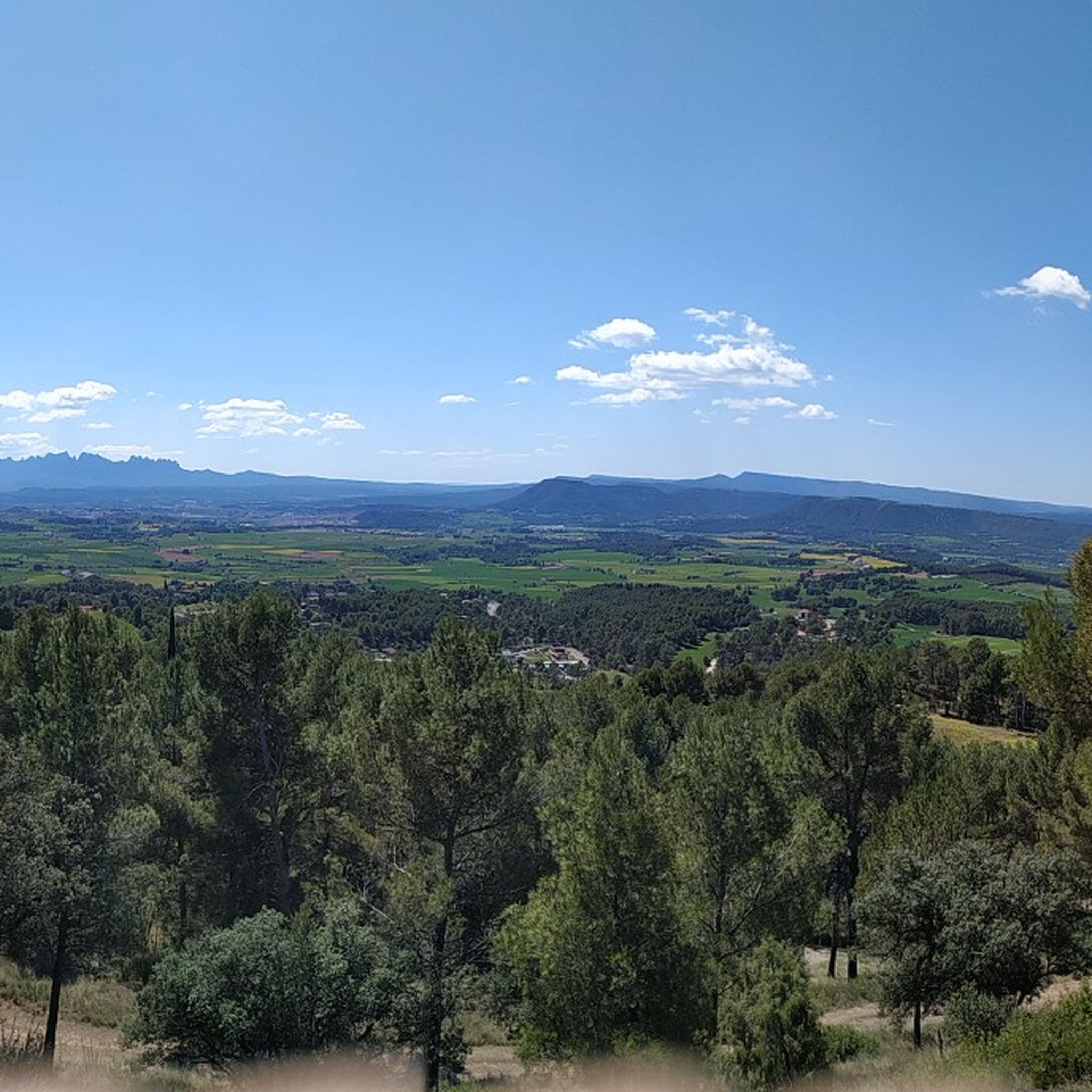
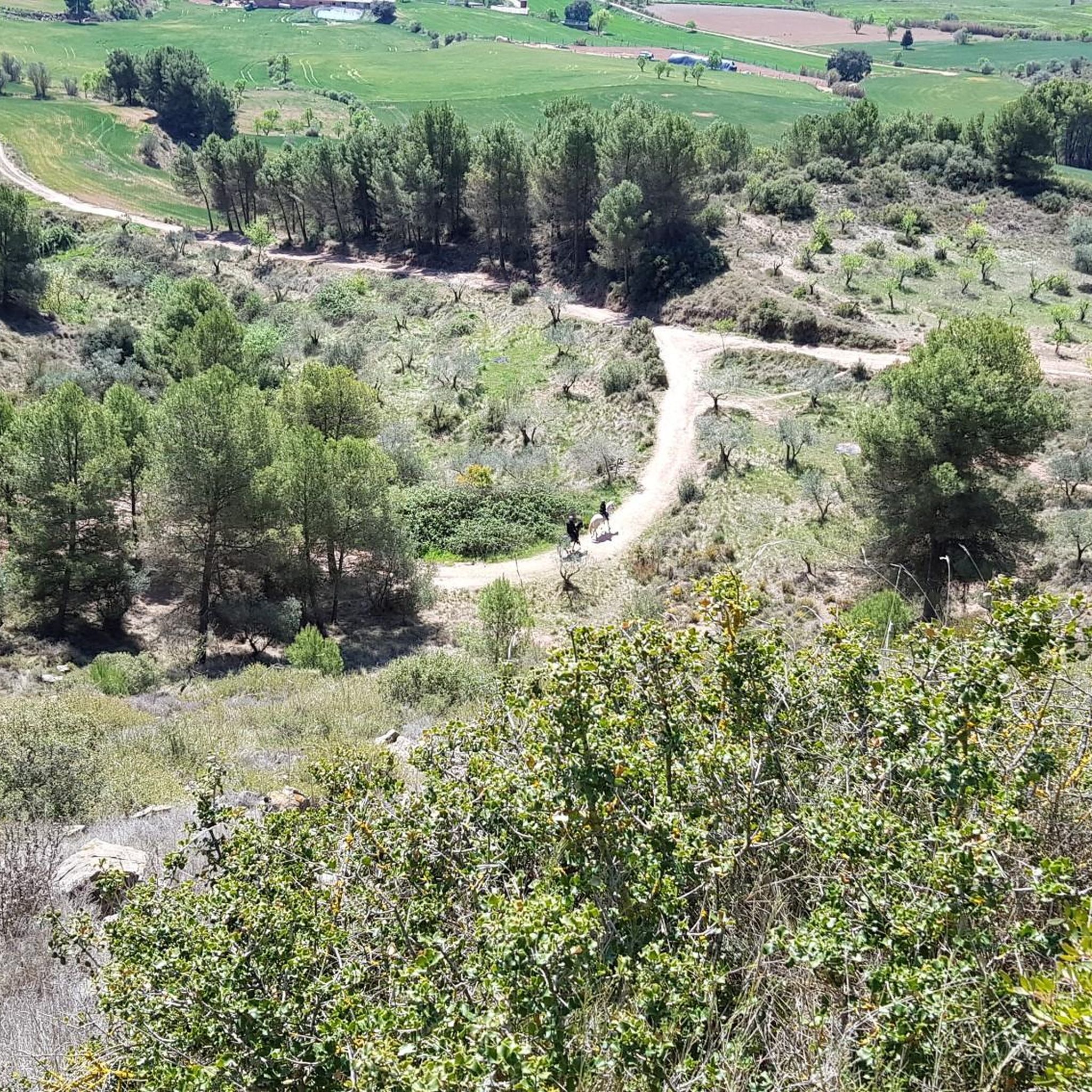
Space to relax and look towards Montserrat
0
0

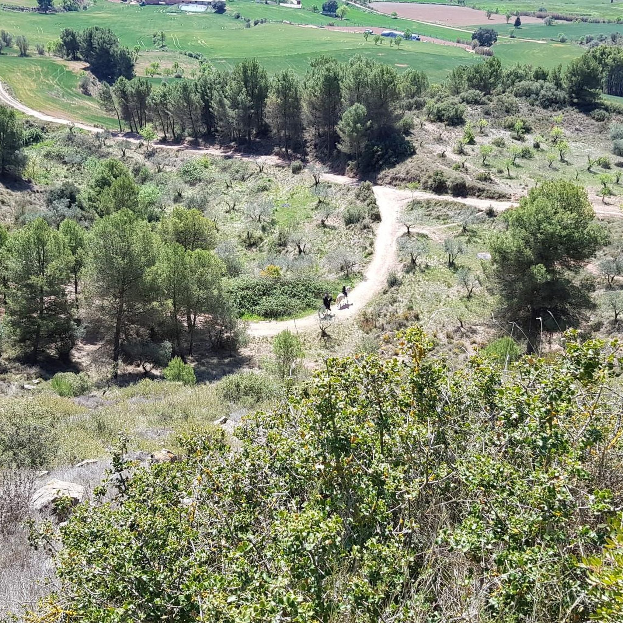
Collbaix is a 543 meter peak, located in Sant Joan de Vilatorrada. It is the highest in the district of Manresa, to the west of Pla de Bages, which has an excellent observation point. It is listed as a large park by the Planning Plan of Manresa. The mountain is located between the streams of Rajadell and Fonollosa. The south side belongs to Manresa, the east to Sant Joan de Vilatorrada, where the town's expansion area is located. Rajadell has the area of Punta Sabata and Fonollosa with most of the summit, the west and the obac slope. Collbaix originated from the erosion of the surrounding land. A resistant layer of conglomerates protects the flat top from erosion, forming a plateau. The summit is made up of large blocks of stone separated from each other. At the top we can find a geodesic vertex (reference 280109001) A metal table with an engraved map of the region. This peak is included in the list of the 100 peaks of the FEEC.
1
0

At this point in its course, the river Llobregat crosses the large cracks that it has opened in the strata of nodular limestone, so that when the course of the river is low, it can be crossed by jumping from rock to rock. The name comes from the fact that a "bigaire" (a rafter, who transported logs of wood joined together to form a boat) died at this point.
1
0

Mountain of saline and other waste created between 1945 and 1977. The La Botjosa salt dump measures 775 meters long by an average width of 150 meters, occupies 13.5 Ha and its content is estimated at around 4 million tons of salty waste. Since the start of the new Cogulló dump in 1977, the potash mining of Sallent and Balsareny stopped dumping saline waste in La Botjosa. Since then, a considerable portion of the saline residues dumped in the La Botjosa dump has disappeared by dissolution in rainwater and air humidity, as evidenced by the geomorphologies in lapiaz on the slopes and dame coiffée where an object acting as an umbrella has protected the salt below
1
0

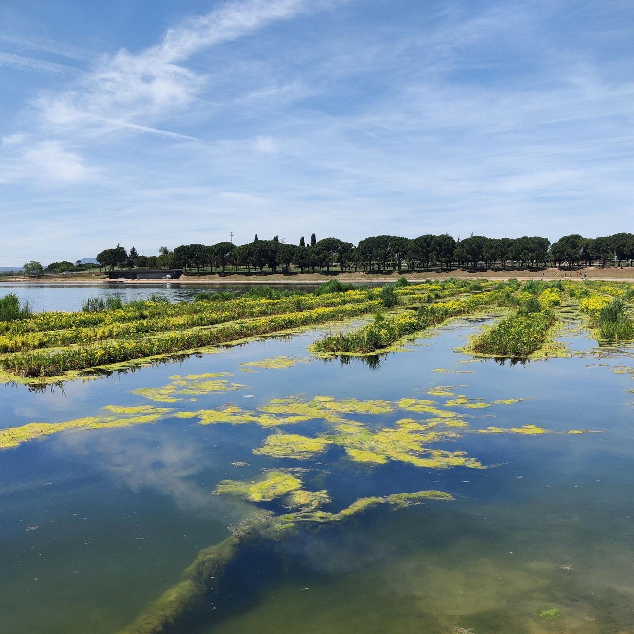
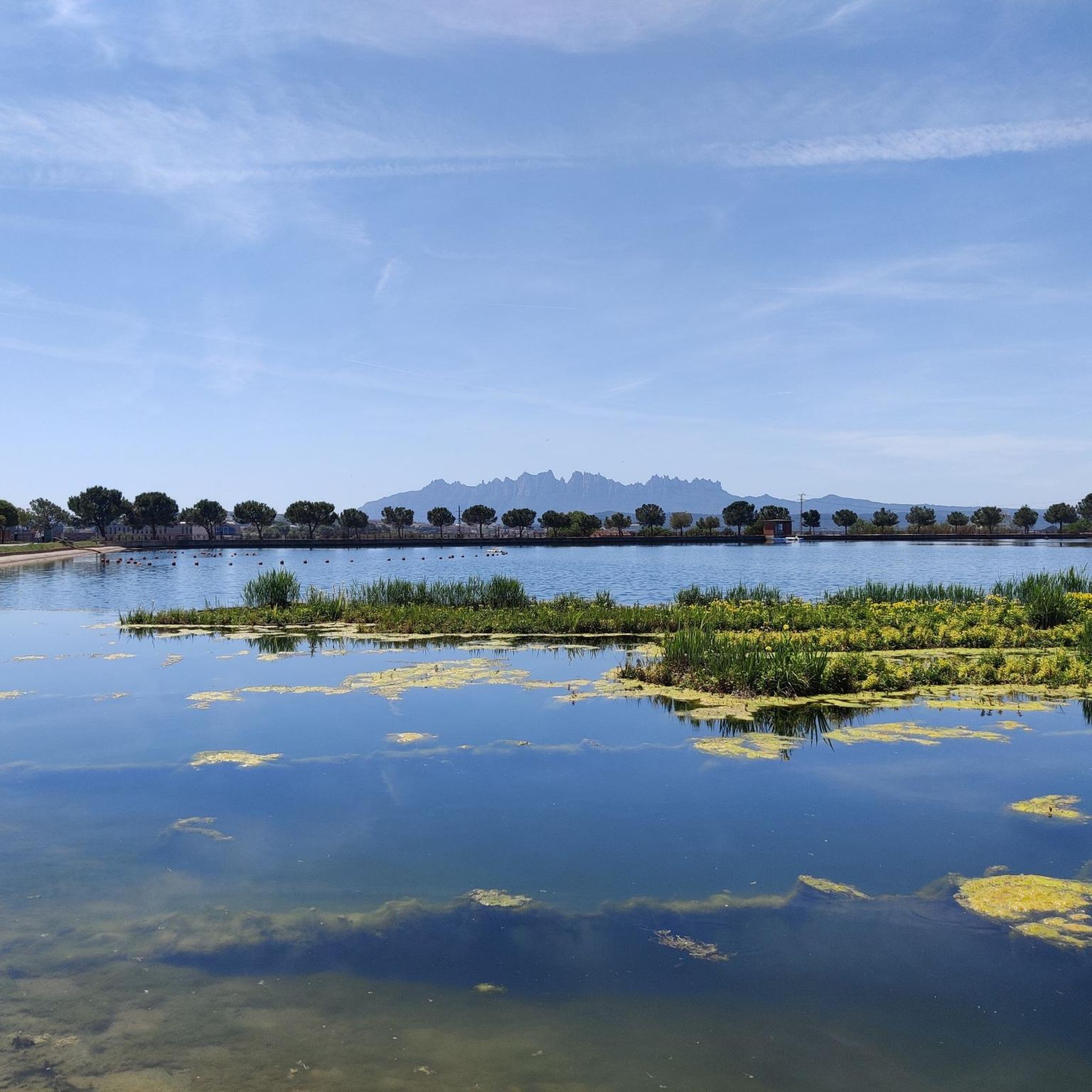
This park is a large reservoir with a nice trail around it for walking and biking. There is parking and a picnic area. It is a good place to relax or start or end an adventure.
2
0

The Parque de l’Agulla is a natural space located on the outskirts of Manresa, near the municipalities of Sant Fruitós de Bages and Santpedor. The park was born with the construction of the lake of l’Agulla between 1966 and 1974. The lake has a surface area of about 64,000 m2 and a capacity close to 200,000 m3. Its main source of water is the Sèquia de Manresa canal, of medieval origin.
2
0

In the "raft-driver gorge", the Llobregat passes through the large fissures it has opened in the nodular limestone rock layer, of marine origin in a continental platform. When the flow is low, it is possible to cross the river jumping from rock to rock. From the left bank there is a track that reaches the Tina de Roviralta located about 300m away.
1
0

El Canyet del Muladar is a space to promote and conserve endangered dryland fauna. Joint project between Manresa City Council and Bages Biodiversity.
1
0
Frequently Asked Questions
What kind of natural landscapes can I expect to see around Santpedor?
The Santpedor area offers a diverse range of natural landscapes. You can explore wetlands, prominent mountains, and unique geological formations. Highlights include the serene Parque de l'Agulla with its lake, the panoramic views from Collbaix Summit, and the tranquil Gorg Blau of the Riera de Rajadell.
Are there family-friendly natural monuments around Santpedor?
Yes, the Parque de l'Agulla is an excellent family-friendly option. It features a large reservoir with a trail suitable for walking and biking, as well as parking and a picnic area. The La Bòbila wetland, located just south of Santpedor, also offers well-maintained paths and observation points, making it ideal for a leisurely and educational outing with children.
Where can I find the best panoramic views of the region?
For breathtaking panoramic views, head to Collbaix Summit. As the highest peak in the Manresa district, it offers stunning 360-degree vistas of Manresa and the surrounding Catalan landscape, perfect for photography and appreciating the natural beauty.
Are there any unique geological features to explore?
Yes, the La Botjosa salt dump is a unique geological feature. This mountain of saline and other waste, created between 1945 and 1977, showcases the effects of dissolution by rainwater and air humidity, forming distinct geomorphologies.
Where can I go for birdwatching near Santpedor?
The La Bòbila wetland, located just 500 meters south of Santpedor, is renowned for its remarkable diversity of organisms, particularly birds. It's a significant spot for birdwatching, especially during migration periods, and features an observation tower and open observation points for quiet wildlife viewing. You can find more information about it on Wikipedia.
What outdoor activities can I do near these natural monuments?
The area around Santpedor offers various outdoor activities. You can find numerous routes for hiking, mountain biking (MTB), and running. For example, there are moderate hiking loops like the "Parque de l'Agulla loop from Santpedor" and various MTB trails. You can explore more options on the Hiking around Santpedor, MTB Trails around Santpedor, and Running Trails around Santpedor guide pages.
Are the natural monuments around Santpedor easily accessible?
Many natural monuments in the area are easily accessible. The La Bòbila wetland, for instance, is reachable from Santpedor with available parking and free public access. Parque de l'Agulla also has parking facilities. Collbaix Summit can be accessed by car, taxi, or a combination of public transport and walking, with parking available near the summit.
What is the Bigaire Gorge and what makes it interesting?
The Bigaire Gorge is a section of the Llobregat river where it crosses large cracks in nodular limestone strata. When the river flow is low, it's possible to cross by jumping from rock to rock. Its name comes from a 'bigaire' (a rafter) who died there, adding a historical anecdote to its natural beauty.
What is the best time of year to visit the natural monuments?
To enjoy a more tranquil experience and avoid crowds, visiting natural monuments like Collbaix Summit during weekdays or early mornings is recommended. Spring and autumn generally offer pleasant weather for exploring wetlands and hiking trails, while birdwatching at La Bòbila wetland is particularly significant during migration periods.
Are there any educational aspects to the natural monuments?
Yes, the La Bòbila wetland offers educational elements. It includes a field classroom housed in the old transformer building and a small pond teeming with insects and frogs. Additionally, there's an "ornithological-literary route" adorned with poems dedicated to various birds, blending nature with culture and learning.
What do visitors appreciate most about the natural monuments around Santpedor?
Visitors frequently appreciate the diverse natural landscapes, from the serene lake at Parque de l'Agulla to the expansive views from Collbaix Summit. The tranquility of places like Gorg Blau of the Riera de Rajadell and the opportunities for outdoor activities like hiking and biking are also highly valued.
Most popular routes around Santpedor
Most popular attractions around Santpedor

Get inspired with the komoot mobile app


Explore more
Extend your search for the best caves by checking out these guides of the top ones around Santpedor:
