Top 12 Natural Monuments around Cléry
Best natural monuments around Cléry are found within the dramatic landscapes of the Auvergne-Rhône-Alpes region, characterized by pre-Alpine limestone mountains, forests, and diverse natural features. The area offers numerous opportunities for exploring summits, mountain passes, and viewpoints. These natural landmarks provide expansive panoramas of the surrounding Alps, including views of Lake Annecy and Mont Blanc.
Best natural monuments around Cléry
- The most popular natural monuments is Petite Sambuy, a summit that offers panoramic views across the Tarentaise Valley, including…
Last updated: July 2, 2026
La Belle-Étoile
Highlight • Summit
Translated by Google •
Tip by

Petite Sambuy
Highlight • Natural Monument
Translated by Google •
Tip by
Sign up now to discover places like this
Get recommendations on the best single tracks, peaks, & plenty of other exciting outdoor places.
Sign up for free
Mont Trélod
Highlight • Summit
Translated by Google •
Tip by
Dent des Portes
Highlight • Natural Monument
Translated by Google •
Tip by
Golet de Doucy
Highlight • Mountain Pass
Translated by Google •
Tip by
Sign up for free to discover even more natural monuments around Cléry.
Sign up for free
Already have an account?
Start today with a free account
Your next adventure awaits.
Login or Signup


Other adventures around Cléry

Tips from the Community

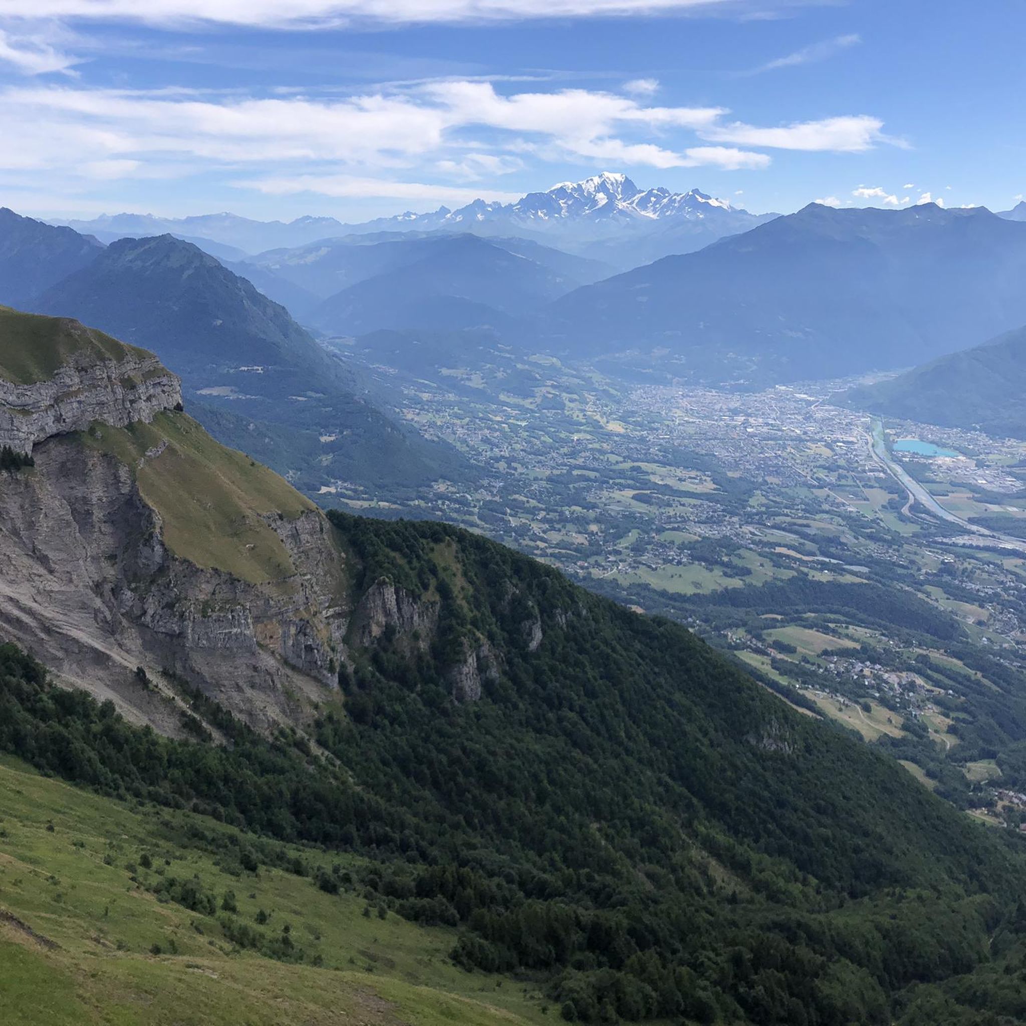
A remarkable viewpoint, ideal for admiring the Bauges mountains and Mont Blanc in the distance.
0
0

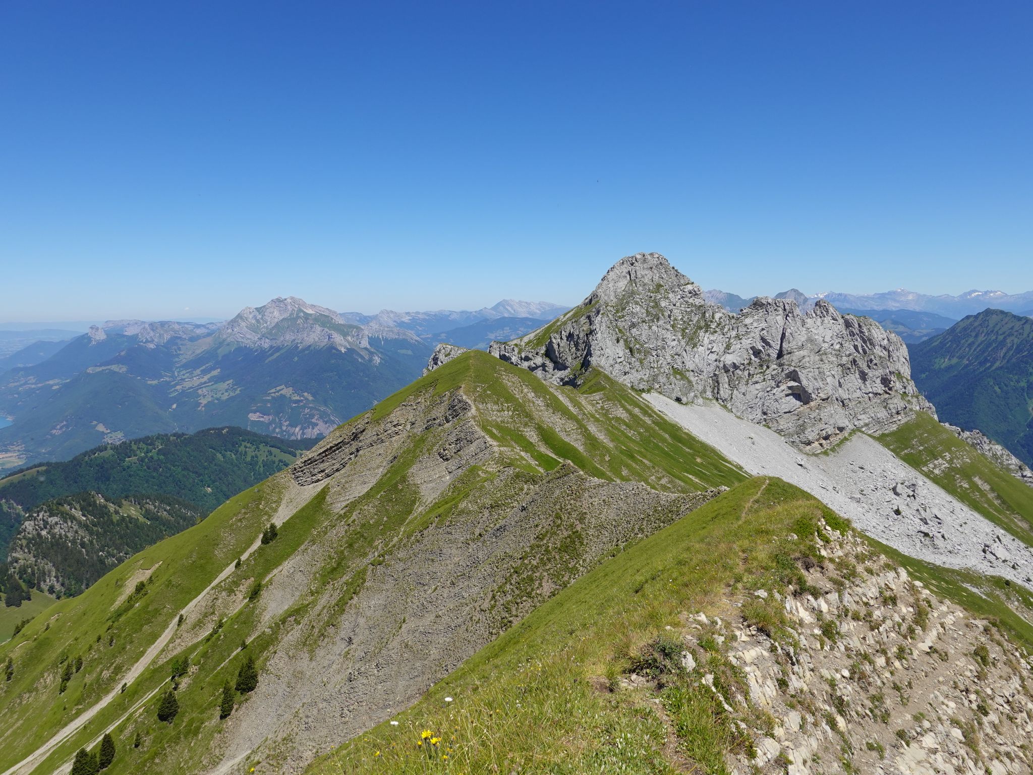
The peak is relatively easily accessible and the view is magnificent, however the rest of the ridge towards the Pointe de Banc Plat is dizzying. We had to turn around and return to the Dent des Portes because it was impossible to pass with a backpack.
0
0

Amazing views on mount blanc, lac d’ annecy and more beautiful landscape! 😍 Attention, only take the path across the ridge to the chalet de L’Alpettaz if you are a really experienced hiker and like to get some adrenaline. It is super narrow and partly really dangerous. After finishing the dangerous part there is high grass through which the hike continues.
1
0

As you climb the challenging trail to the top of Petite Sambuy, you’ll be rewarded with breathtaking panoramic views across the Tarentaise Valley. This iconic peak, nestled in the heart of the magnificent French Alps, offers a truly awe-inspiring experience. From the summit, you’ll be able to admire the snow-capped mountains, picturesque villages and winding rivers that characterise the region.
0
0

Access is quite physical but you are largely rewarded by the sumptuous 360° landscapes once at the top 🤩
1
0

An incredible spot! Don’t hesitate to go up there when it’s snowy: MAGIC!
0
0

Very nice view with an outstanding 360° Alpine panorama! Coming from the north via Le pas de l'âne, don't underestimate the difficulty of the ridge. At the end of February there was still a lot of snow and the fuses are not in place over the entire length. In parts, the hike has more of a via ferrata character. The ridge is sometimes very narrow and it feels like several hundred meters down to the left and right. But if you are prepared for it and are used to challenging terrain, then it is a super nice hike and absolutely recommendable!
0
0

Relatively unspectacular, but a beautiful view and the opportunity to descend again or to climb the mountain massif.
0
0
Frequently Asked Questions
What types of natural monuments can I explore around Cléry?
Around Cléry, you can explore a variety of natural monuments, primarily characterized by the dramatic landscapes of the Auvergne-Rhône-Alpes region. These include pre-Alpine limestone mountains, dense forests, and diverse natural features. You'll find numerous summits offering expansive panoramas, scenic mountain passes, and breathtaking viewpoints. Notable examples include Petite Sambuy, a summit with views across the Tarentaise Valley, and Golet de Doucy, a beautiful mountain pass.
Are there any natural monuments with exceptional panoramic views near Cléry?
Yes, several natural monuments near Cléry offer incredible panoramic views. La Belle-Étoile, a summit reaching 1,841 meters, provides an amazing panorama of the Bauges mountains and Mont Blanc. Similarly, Petite Sambuy, at 2,107 meters, offers breathtaking views of the Bauges, Lake Annecy, the Aravis mountain range, Beaufortain, and Mont Blanc. Banc Plat Peak also boasts a superb 360° panorama, including Lake Annecy and surrounding peaks up to Mont Blanc.
What are some challenging natural monuments for experienced hikers?
For experienced hikers seeking a challenge, Petite Sambuy is a superb summit at 2,107 meters, known for its challenging trails and rewarding views. La Belle-Étoile, at 1,841 meters, also involves a physical ascent but offers an incredible panorama. Another significant challenge is Mont Trélod, rising to 2,181 meters, which is the fourth highest summit of the Bauges and provides a magnificent panorama of Mont Blanc and the rest of the Bauges.
Are there family-friendly natural monuments or easy walks around Cléry?
While many natural monuments around Cléry involve more challenging ascents, the broader Massif des Bauges Regional Natural Park, located just 13 km from Cléry, offers diverse opportunities. You can find easier trails and short walks within the park's forests and lower mountain areas, which are suitable for families. For specific easy natural monuments, it's best to look for trails leading to viewpoints at lower altitudes or along lake shores, such as those around Lake Annecy, which is about 25 km away.
What is the best time of year to visit the natural monuments around Cléry?
The best time to visit the natural monuments around Cléry, especially for hiking and enjoying the mountain scenery, is typically from late spring to early autumn (May to October). During these months, the weather is generally milder, trails are clear of snow, and flora is abundant. Autumn offers spectacular fall foliage. Winter can be beautiful for snowshoeing or skiing, but many higher-altitude trails may be inaccessible or require specialized equipment due to snow and ice.
What outdoor activities can I do near these natural monuments?
Beyond exploring the natural monuments themselves, the region around Cléry offers a wide range of outdoor activities. You can find numerous running trails, including challenging loops like 'La Pointe de Chaurionde - Massif des Bauges - Trail - Loop'. Road cycling is popular, with routes such as 'Col des Saisies – Conflans loop from Frontenex'. Mountain biking enthusiasts can enjoy trails like 'Tamié Pass – Collet de Tamié (960 m) loop from Cléry'. For more details on these activities, you can explore the Running Trails around Cléry, Road Cycling Routes around Cléry, and MTB Trails around Cléry guides.
Are there specific geological features or sites of interest in the Massif des Bauges?
Yes, the Massif des Bauges Regional Natural Park, which is very close to Cléry, is known for its distinctive pre-Alpine limestone mountains. This geological characteristic creates unique formations, caves, and karstic landscapes. The dramatic peaks and valleys you encounter, such as those around Mont Trélod, are direct results of this geology. The park is a designated area due to its rich biodiversity and geological significance.
Can I access the natural monuments around Cléry using public transport?
Access to some natural monuments, especially those deep within the Massif des Bauges, can be challenging via public transport. While regional buses might serve larger towns near the park, reaching specific trailheads often requires a car. For destinations like Lake Annecy or the Col de Tamié, public transport options might be more readily available to the general area, but further travel to specific natural sites may still necessitate personal transport or local taxi services.
Are dogs allowed on trails to the natural monuments?
Regulations regarding dogs on trails can vary within the Massif des Bauges Regional Natural Park and specific natural monument areas. Generally, dogs are often permitted on trails but must be kept on a leash, especially in protected areas to safeguard wildlife and livestock. It's always advisable to check local signage or the park's official guidelines for the specific area you plan to visit to ensure compliance with any restrictions.
What should I wear when hiking to these natural monuments?
Given the mountainous terrain and varying altitudes, it's crucial to wear appropriate hiking gear. This includes sturdy hiking boots with good ankle support, layered clothing to adapt to changing weather conditions (even in summer), waterproof and windproof outer layers, and sun protection (hat, sunglasses, sunscreen). Always carry enough water, snacks, a map or GPS device, and a first-aid kit, especially for longer or more challenging routes.
Where can I find parking near the natural monuments in the Massif des Bauges?
Parking is generally available at popular trailheads and access points within the Massif des Bauges. For specific natural monuments like La Belle-Étoile or Petite Sambuy, designated parking areas are usually located at the start of the main hiking routes. It's recommended to arrive early during peak season to secure a spot, as parking can fill up quickly. Some remote trailheads might have limited or informal parking.
Are there any permits required for hiking in the Savoie region?
For general hiking on established trails in the Savoie region, including within the Massif des Bauges Regional Natural Park, permits are typically not required. However, certain activities, such as bivouacking in specific zones or accessing highly sensitive natural reserves, might have regulations or require prior authorization. Always respect local rules, especially concerning protected areas, wildlife, and private property.
What do visitors enjoy most about the natural monuments around Cléry?
Visitors consistently praise the incredible panoramic views offered by the summits and viewpoints. The sense of accomplishment after a challenging hike to places like Petite Sambuy or La Belle-Étoile, rewarded with 360° landscapes of the Bauges, Lake Annecy, and Mont Blanc, is a major highlight. The diverse natural features, from alpine pastures to dense forests, and the opportunity for solitude in nature are also highly valued.
Most popular attractions around Cléry

Get inspired with the komoot mobile app


Explore more
Extend your search for the best caves by checking out these guides of the top ones around Cléry:
