Top 7 Mountain Passes around Saint-Marcel-L'Éclairé
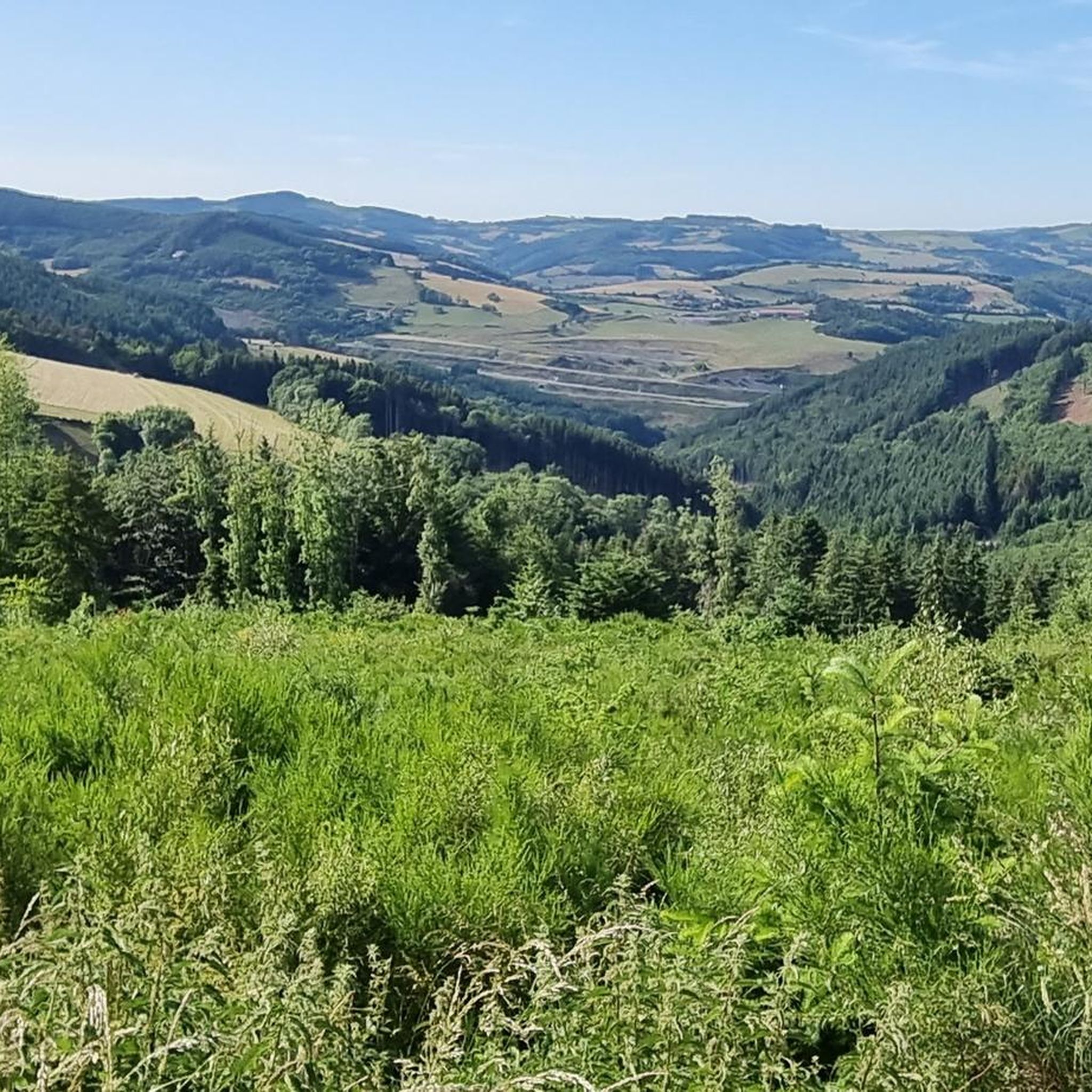
Best mountain passes around Saint-Marcel-L'Éclairé are situated in the Rhône department of eastern France, a region characterized by elevations ranging from 360 to 843 meters. While the commune itself does not host prominent named mountain passes, the surrounding area offers natural landscapes suitable for outdoor activities. This region provides numerous hiking and running trails, allowing for exploration of its varied terrain. The elevated areas around Saint-Marcel-L'Éclairé offer scenic routes and viewpoints.
Best mountain passes around Saint-Marcel-L'Éclairé
- The most popular mountain…
Last updated: July 2, 2026
Col de la Croix de Mazieux
Highlight • Mountain Pass
Translated by Google •
Tip by

Pilon Pass (727 m)
Highlight (Segment) • Mountain Pass
Translated by Google •
Tip by

Sign up now to discover places like this
Get recommendations on the best single tracks, peaks, & plenty of other exciting outdoor places.
Sign up for free
↗ "Col des Cassettes" from Tarare
Highlight (Segment) • Mountain Pass
Translated by Google •
Tip by

Col de la Croix Cazard (865 m)
Highlight • Mountain Pass
Translated by Google •
Tip by
Col de la Croix de Thel (650 m)
Highlight • Mountain Pass
Translated by Google •
Tip by
Sign up for free to discover even more mountain passes around Saint-Marcel-L'Éclairé.
Sign up for free
Already have an account?
Start today with a free account
Your next adventure awaits.
Login or Signup
Tips from the Community

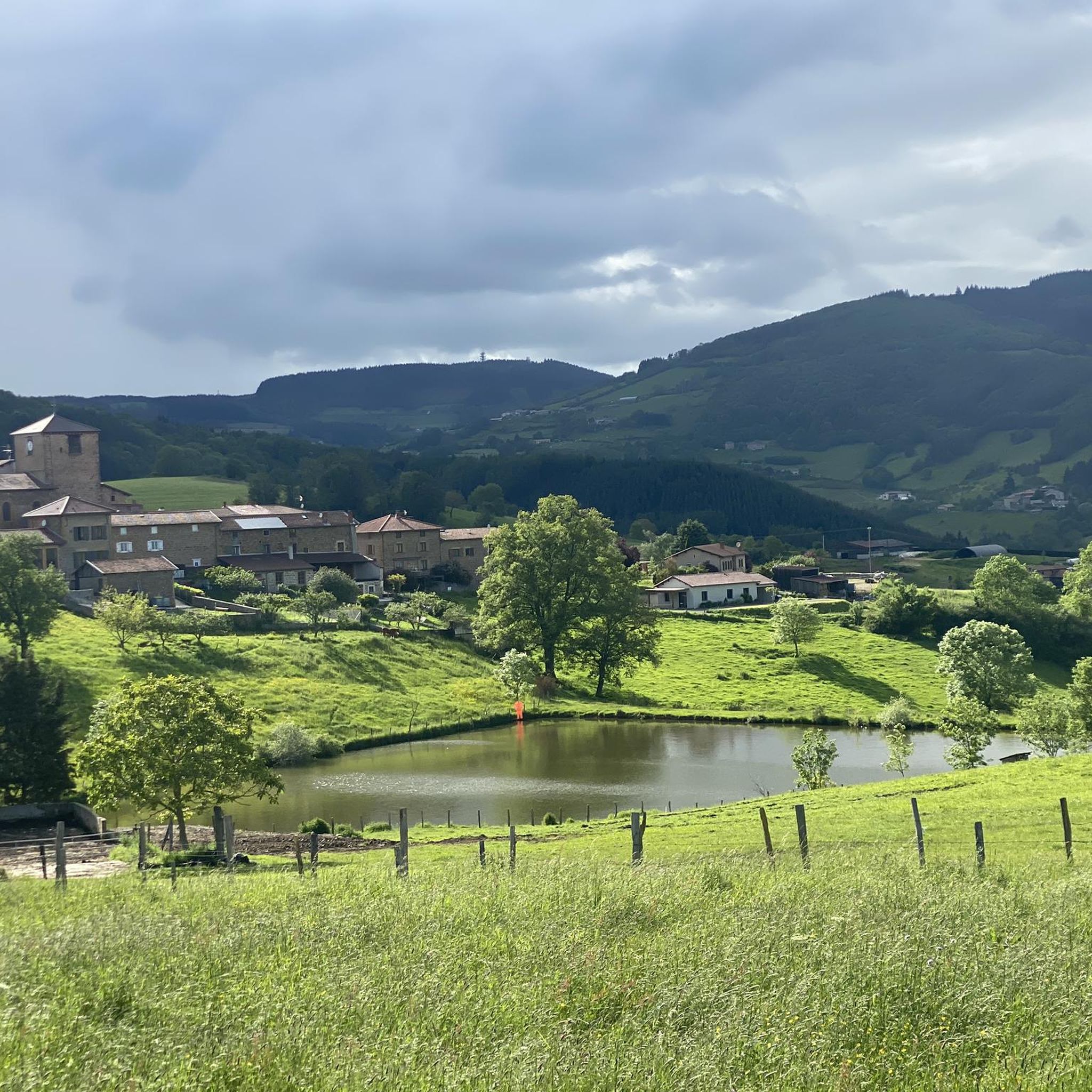
Cross marking the Col de Mazieux.
0
0

Tipping point on the ridge between several valleys. Very pleasant climb from Saint Julien sur Bibost.
0
0

Even using the cycle lane I don't feel safe: heavy road traffic and a circuit popular with motorbikes which overtake you at very high speed.
0
0

A very beautiful site with a magnificent view at this crossroads of many roads. However, can we really speak of a pass because it is basically a cross, but this place has the whole profile to be one. In any case what is certain is that you have to go up there!
0
0

The Col de la Croix de Mazieux from Saint-Forgeux is 6 km long with a total drop of about 298 m. The average gradient is 5% with maximum gradients of 9%, however the first part of the climb is steeper and flattens out after 4km.
1
0
A rolling pass but with a lot of traffic including some heavy goods vehicles. A wide cycle lane allows cyclists to climb in safety. However I advise to take another pass to make the junction, for example to use the road between the cassettes and the pestle on a false uphill slope.
0
0
Pretty long pass on the Tarare side with a constant slope around 5%. Delimits the watershed line between the Rhône and the Loire. Do not hesitate to climb to Mont Boussuivre by extending a few hundred meters and climb to the top of the Matagrin tower to enjoy a magnificent view of the whole region.
0
0
A small pass to do from Tarare, or Valsonne. Not very hard percentages and quite short. Rural landscapes surround us on the climb. Note a beautiful little road that connects the Col de la Croix Paquet, Col du Pilon with beautiful views but a coating that is not incredible so you can enjoy the landscapes.
1
0
Frequently Asked Questions
What kind of mountain passes can I expect to find around Saint-Marcel-L'Éclairé?
While Saint-Marcel-L'Éclairé itself doesn't host prominent named mountain passes, the surrounding region in the Rhône department offers a variety of elevated routes. These passes are generally characterized by intermediate difficulty, scenic viewpoints, and varying gradients, suitable for cycling and hiking. The area is known for its natural landscapes and rural charm.
Are there any mountain passes known for their challenging climbs?
Yes, for those seeking a challenge, the Col de la Croix de Thel (650 m) offers a notable climb. From Chamelet, it features a challenging 4 km section with an average gradient of 8%. This pass also provides excellent viewpoints and typically has low traffic.
Which mountain passes offer the best views?
Many passes in the region provide scenic vistas. The Col de la Croix de Mazieux is praised for its magnificent views at a crossroads of multiple roads. Additionally, from the Col de la Croix Cazard (865 m), you can extend your journey to Mont Boussuivre and climb the Matagrin tower for a magnificent panoramic view of the entire region.
Are there mountain passes suitable for road cycling?
Absolutely. The region around Saint-Marcel-L'Éclairé is popular for road cycling. Passes like the Pilon Pass (727 m), while having traffic, features a wide cycle lane for safety. The Col de la Croix Cazard (865 m) is another option, offering a long climb with a constant slope around 5%. For more routes, explore Road Cycling Routes around Saint-Marcel-L'Éclairé.
What kind of hiking opportunities are there near these mountain passes?
The area provides numerous hiking trails, often incorporating mountain passes. For example, you can find routes that lead to the Matagrin Tower, offering elevated views. The 'Tour 30 Le tour des Crêtes' in the Beaujolais Vert region, which includes Saint-Marcel-L'Éclairé, is an easy hiking trail with picturesque views. Discover more options in the Hiking around Saint-Marcel-L'Éclairé guide.
Can I find mountain passes with a quieter, more rural atmosphere?
Yes, the Col des Cassettes (622 m) is known for its quiet climb and rural landscapes. It's a smaller pass that can be approached from Tarare or Valsonne, offering a peaceful experience with views of wind turbines.
Are there any mountain passes that have been part of famous cycling events?
The Col de la Croix de Thel (650 m) has a notable history, having been a passage in the Tour de France 2019, adding to its appeal for cycling enthusiasts.
What is the highest point accessible via a mountain pass in the immediate vicinity?
The Col de la Croix Cazard (865 m) is one of the higher passes in the area. From here, you can extend your journey to Mont Boussuivre and climb the Matagrin tower, which offers a magnificent panoramic view and represents one of the highest accessible points in the region.
What outdoor activities, besides cycling and hiking, can be done near the mountain passes?
Beyond road cycling and hiking, the elevated terrain around Saint-Marcel-L'Éclairé is also suitable for mountain biking. You can find challenging MTB trails, such as those around the Beaujolais Vert Wind Farm or leading to the Col de la Croix des Fourches. Explore more in the MTB Trails around Saint-Marcel-L'Éclairé guide.
What do visitors particularly enjoy about the mountain passes in this region?
Visitors appreciate the diverse natural landscapes, the varying gradients that cater to different fitness levels, and the numerous viewpoints offering magnificent panoramas. The quiet, rural atmosphere of many passes, combined with opportunities for challenging climbs and historical connections (like the Tour de France), makes the region appealing for outdoor enthusiasts.
Are there any passes that mark significant geographical features?
Yes, the Col de la Croix Cazard (865 m) is notable as it delimits the watershed line between the Rhône and the Loire rivers, offering an interesting geographical point of interest.
Most popular routes around Saint-Marcel-L'Éclairé
Most popular attractions around Saint-Marcel-L'Éclairé

Get inspired with the komoot mobile app


Explore more
See even more epic mountain passes by checking out these guides around Saint-Marcel-L'Éclairé:
