The 20 Most Amazing Peaks around Maladers
Mountain peaks around Maladers provide varied outdoor experiences in the Swiss Alps. The village of Maladers, situated on a sunny mountain slope, serves as a starting point for exploring several notable peaks. These mountains offer panoramic views of the Chur Rhine valley and surrounding landscapes. The region features both easily accessible mountains and more challenging high-altitude summits.
Best mountain peaks around Maladers
- The most popular mountain peaks is Weisshorn Summit (2,653 m), a summit that offers a fantastic view…
Last updated: August 16, 2026
Dreibündenstein Monument
Highlight • Monument
Showing Translation
Tip by

Weisshorn Summit (2,653 m)
Highlight • Summit
Translated by Google •
Tip by

Sign up now to discover places like this
Get recommendations on the best single tracks, peaks, & plenty of other exciting outdoor places.
Sign up for free
Hörnli Trail Summit
Highlight • Summit
Translated by Google •
Tip by
Furggabüel (2,174 m)
Highlight • Summit
Translated by Google •
Tip by
Arflinafurgga
Highlight • Mountain Pass
A scenic tour to Schanfigg and back over the Duranna Pass into Prättigau down to Klosters. Past mountain lakes, Alps and beautiful flower meadows. …
Translated by Google •
Tip by

Sign up for free to discover even more peaks around Maladers.
Sign up for free
Already have an account?
Start today with a free account
Your next adventure awaits.
Login or Signup
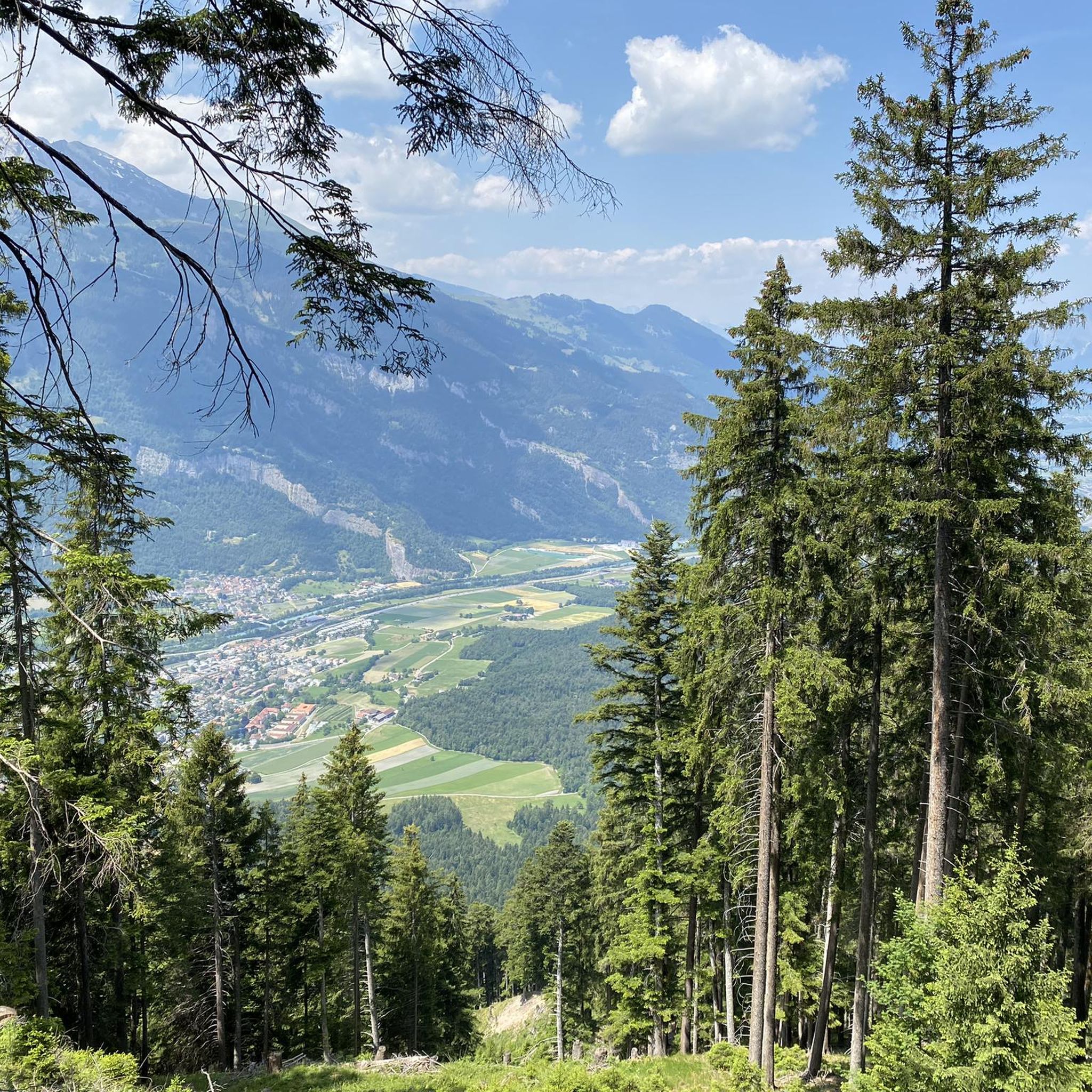
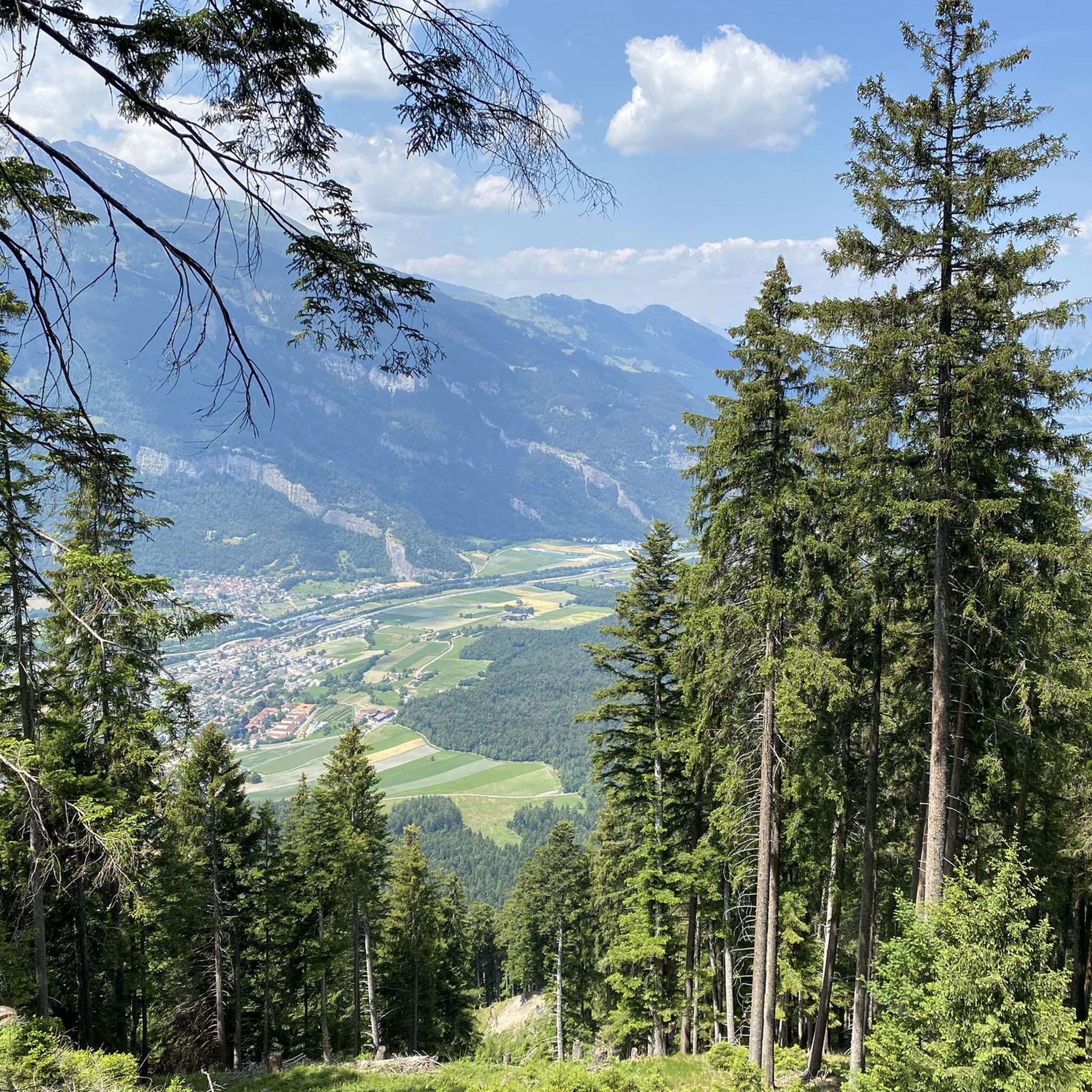
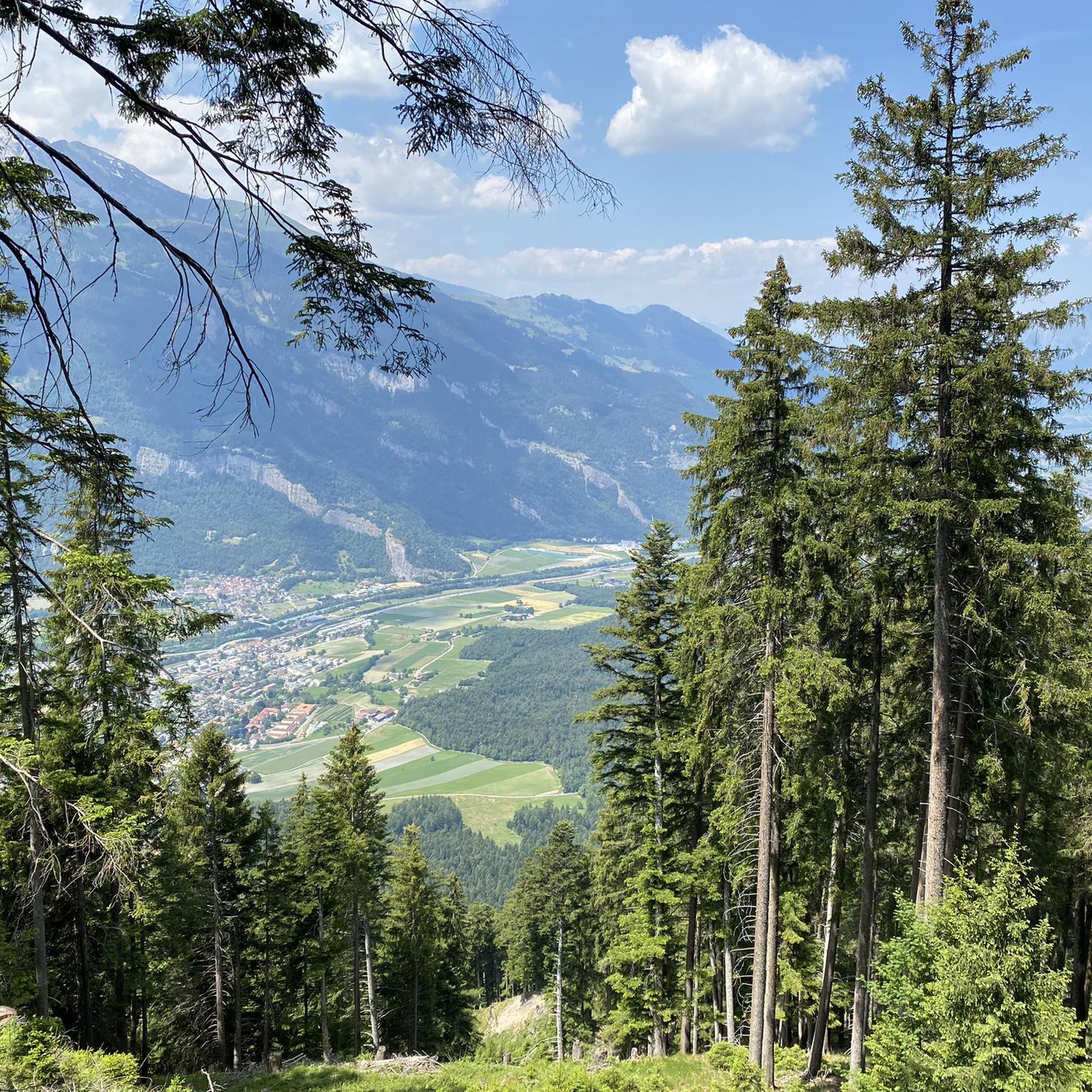

Tips from the Community

The Arflinafurgga pass lies at an altitude of 2,247 meters and connects the Fideriser Heuberg with the Schanfigg valley. It is located on the marked snowshoe trail 568 and, in good weather, offers a breathtaking panoramic view of the Grisons mountains.
0
0

Prepare for a long, exhausting but amazing 2000 descent!
0
0

Top view into the distance and of Arosa
0
0
The easiest way to reach the Hörnligrat by bike, and with the least amount of effort, is by taking the Hörnli Express gondola from Innerarosa. From here, you can then head back down to the valley in virtually any direction. The flowing Hörnli Trail back to Arosa is particularly popular. The other trails (which are not designated trails, so be careful of hikes) are also very worthwhile, although some are a bit more challenging (e.g., to Lake Urden, S3).
2
0

It's always nice when you've made it. The mountain panorama is overwhelming. The reward is a wonderful descent, no matter which side you go on.
0
0
Furggabüel is the name of the peak on which the somewhat more famous highlight, the Dreibündenstein, is located. The stone is located about 200 meters south of the 2,174 meter high Furggabüel.
2
0
You can reach the 2,653-meter-high summit of the Weisshorn either by taking a strenuous but very worthwhile hike, or by taking the cable car in a very relaxed manner while sitting down. A fantastic view in all directions awaits you at the top.
2
0
Frequently Asked Questions
What are some popular mountain peaks to explore near Maladers?
Near Maladers, you can explore several notable peaks. The Weisshorn Summit (2,653 m) offers fantastic views in all directions and can be reached by a strenuous hike or cable car. Another popular spot is Furggabüel (2,174 m), which provides magnificent views of the Rhine Valley and other mountains.
Are there any historical sites among the mountain peaks near Maladers?
Yes, the Dreibündenstein Monument is a significant historical site. This monument, located on a hill at 2,156 meters, marks the former triple border point of the Free State of the Three Leagues, commemorating the freedom fighters of Graubünden.
What kind of views can I expect from the mountain peaks around Maladers?
The mountain peaks around Maladers are renowned for their panoramic vistas. From Mittenberg, you get wonderful views into the Chur Rhine valley. Higher peaks like Weisshorn Summit (2,653 m) and Furggabüel (2,174 m) offer expansive and magnificent views of the Rhine Valley and the surrounding Swiss Alps.
Are there accessible mountain peaks for less experienced hikers near Maladers?
Yes, Mittenberg is a popular and easily accessible mountain that offers a varied round hike. It provides quick access to nature from urban areas, making it suitable for both beginners and advanced hikers seeking a rewarding outdoor experience near Maladers.
What are some challenging mountain peaks for experienced hikers around Maladers?
For those seeking a greater challenge, Montalin (2,266m) offers a more demanding and extended hiking experience. Routes like the 'Montalin 2,266 m – Chur High Trail loop' are categorized as hard hikes, requiring very good fitness, sure-footedness, sturdy shoes, and alpine experience.
What outdoor activities can I do near the mountain peaks around Maladers?
Beyond hiking, the area around Maladers offers various outdoor activities. You can find numerous road cycling routes, running trails, and general cycling routes. These guides provide options for different difficulty levels and distances.
Are there specific trails for running near Maladers' mountain peaks?
Yes, there are several running trails. For example, you can try the 'View of Chur from Mittenberg – Old Town and St. Martin's Church, Chur loop from Chur' which is a difficult 8.7 km route, or the 'Pardisa Bridge over the Rhine – Rhine at Pardisla Bridge loop from Chur' which is a moderate 9 km option. More options can be found in the Running Trails around Maladers guide.
Can I reach any of the mountain peaks by cable car?
Yes, you can reach the Weisshorn Summit (2,653 m) by taking a cable car, offering a relaxed way to enjoy the fantastic views without a strenuous hike.
What is the Arflinafurgga and what does it offer?
The Arflinafurgga is a mountain pass at 2,247 meters, connecting the Fideriser Heuberg with the Schanfigg valley. It offers breathtaking panoramic views of the Grisons mountains and serves as a scenic connection to Arosa or Chur, often featuring mountain lakes and beautiful flower meadows.
What do visitors particularly enjoy about the mountain peaks near Maladers?
Visitors appreciate the diverse range of experiences, from easily accessible mountains to challenging high-altitude summits. The breathtaking panoramic views of the Chur Rhine valley and surrounding landscapes are a major draw, as are the well-maintained trails and the quick access to nature from urban areas.
Are there any circular hiking trails near Maladers?
Yes, Mittenberg is known for offering a varied round hike from the city of Chur up to its panoramic summit and then down to Maladers, providing a great circular route for hikers.
What is the Hörnli Trail Summit?
The Hörnli Trail Summit is a popular spot, especially for mountain bikers. It's easily accessible by the Hörnli Express gondola from Innerarosa and serves as a starting point for many beautiful tours, including the flowing Hörnli Trail back to Arosa.
Most popular attractions around Maladers

Get inspired with the komoot mobile app


Explore more
See even more amazing summits around Maladers with these guides:
