Top 20 Mountain Passes around Sils im Engadin/Segl
Best mountain passes around Sils im Engadin/Segl are situated in a region known for its diverse alpine landscape, connecting the Engadin valley with central Graubünden and Italy. The area features significant historical routes, including those dating back to Roman times. These passes offer access to varied terrain, from high-altitude viewpoints to valleys with unique topographical features. The region provides opportunities to explore natural monuments and challenging trails.
Best mountain passes around Sils im Engadin/Segl
- The most popular mountain passes is…
Last updated: October 13, 2026
Fuorcla Surlej
Highlight • Mountain Pass
Translated by Google •
Tip by

Julier Pass
Highlight • Mountain Pass
Translated by Google •
Tip by

Sign up now to discover places like this
Get recommendations on the best single tracks, peaks, & plenty of other exciting outdoor places.
Val Suvretta Trail
Highlight (Segment) • Trail
Translated by Google •
Tip by

Final Hairpin Bends of the Maloja Pass
Highlight (Segment) • Mountain Pass
Ascent that from Chiavenna presents a …
Translated by Google •
Tip by

Maloja Pass
Highlight • Mountain Pass
Translated by Google •
Tip by

Sign up for free to discover even more mountain passes around Sils im Engadin/Segl.
Already have an account?
Start today with a free account
Your next adventure awaits.
Popular around Sils im Engadin/Segl
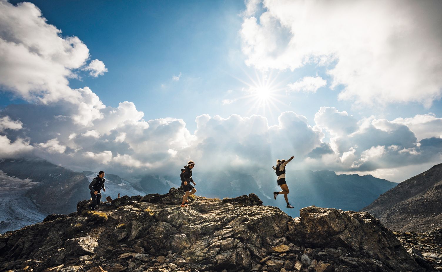
Engadin St. Moritz — Running is like flying to me
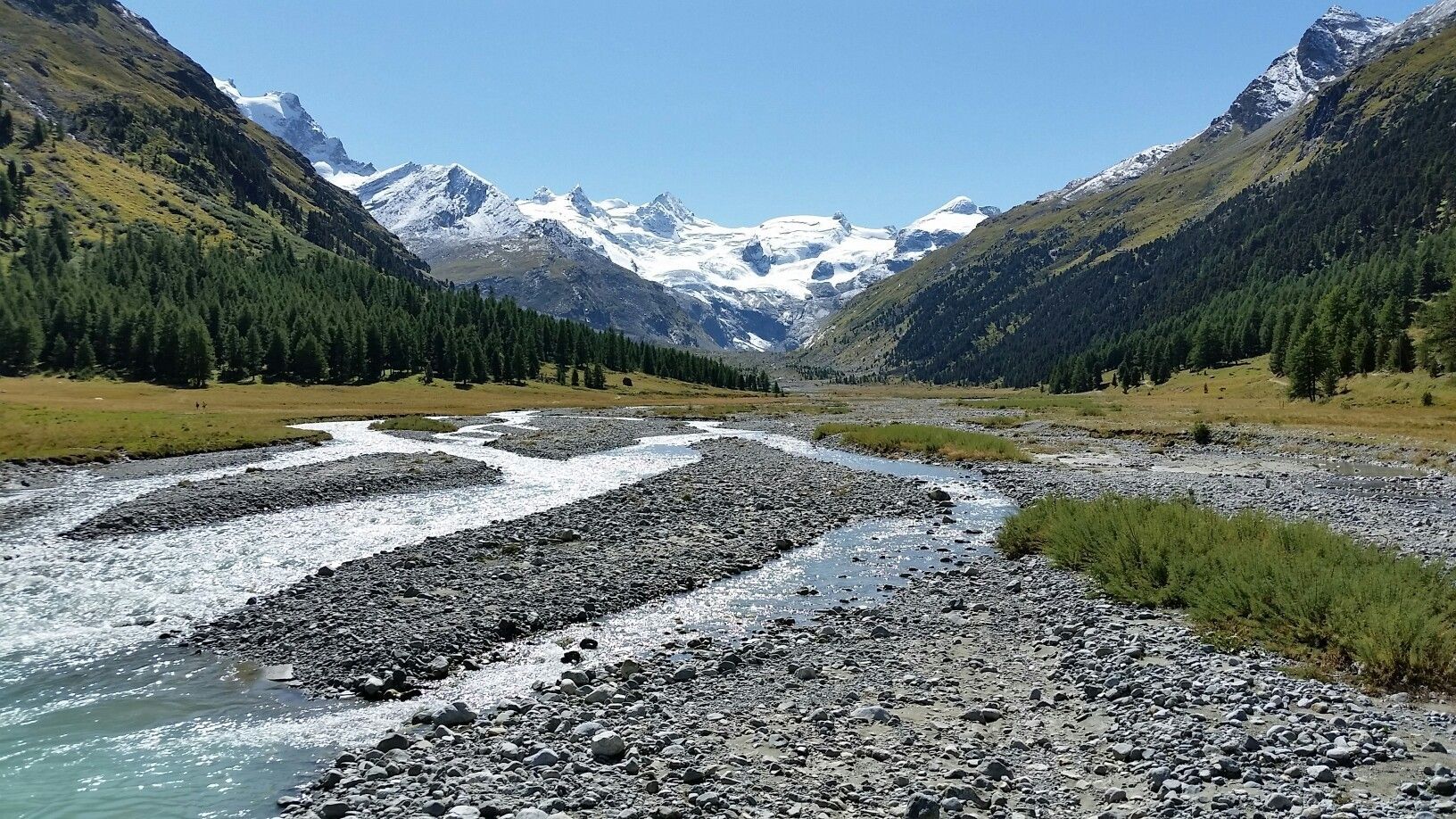
Scenic hikes in the Engadin
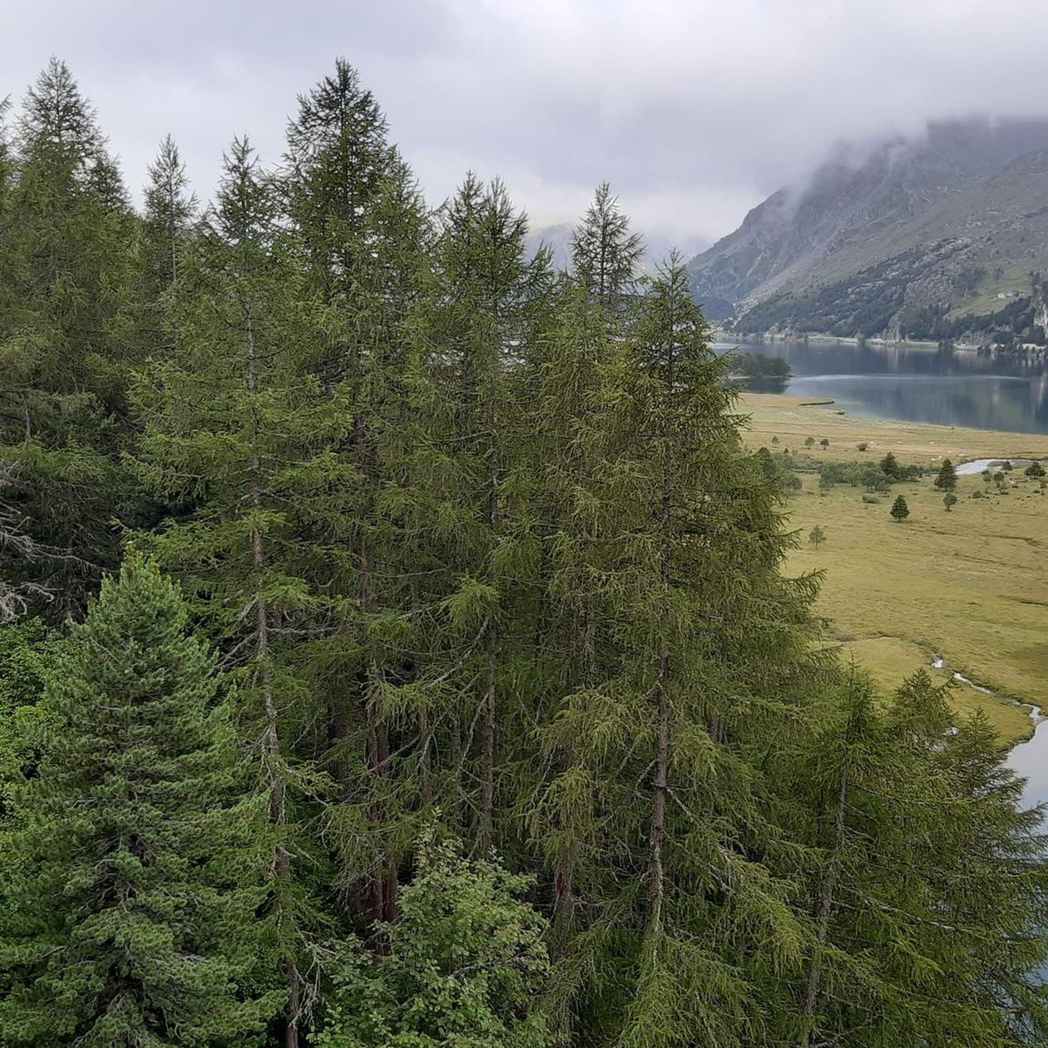
Hiking around Sils im Engadin/Segl
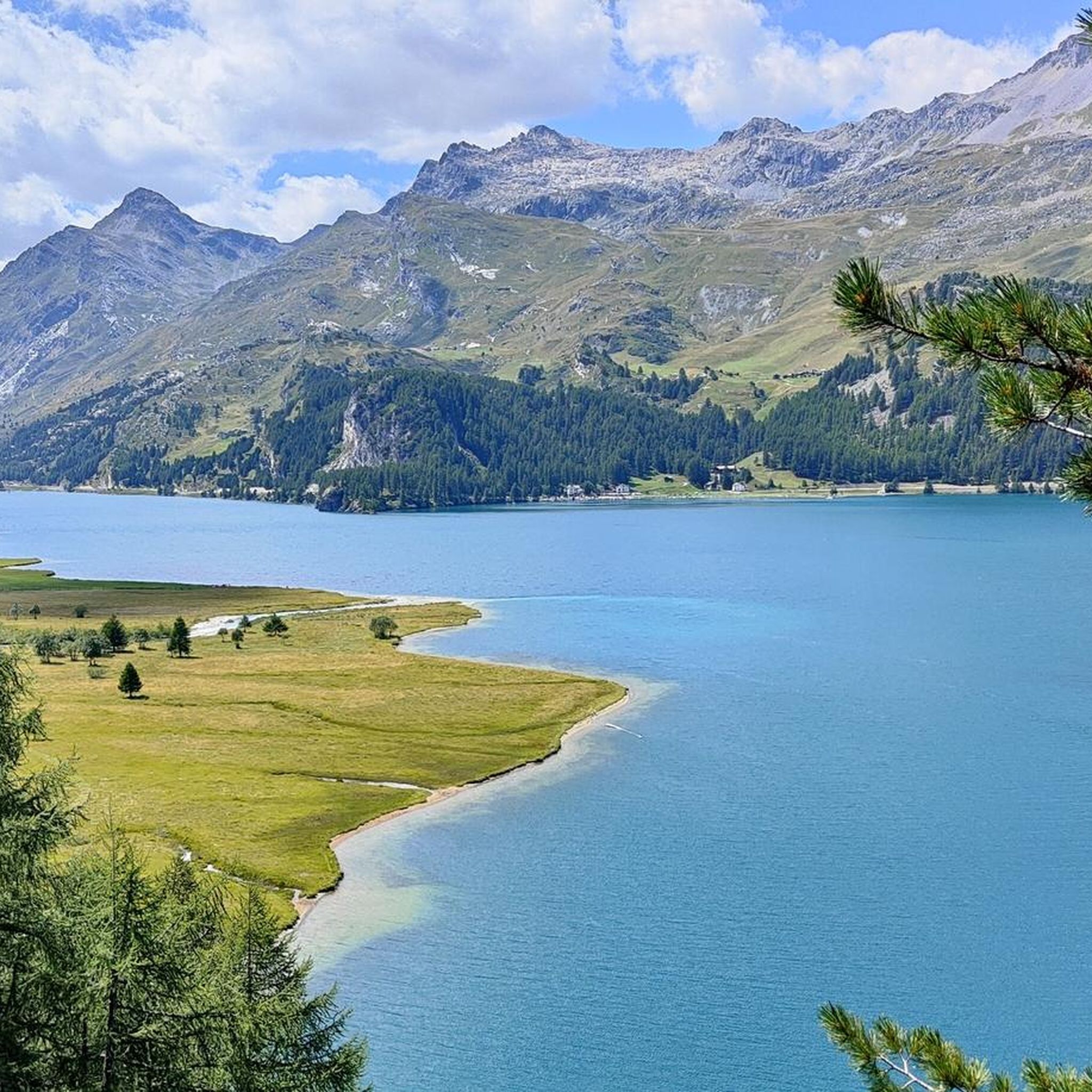
MTB Trails around Sils im Engadin/Segl
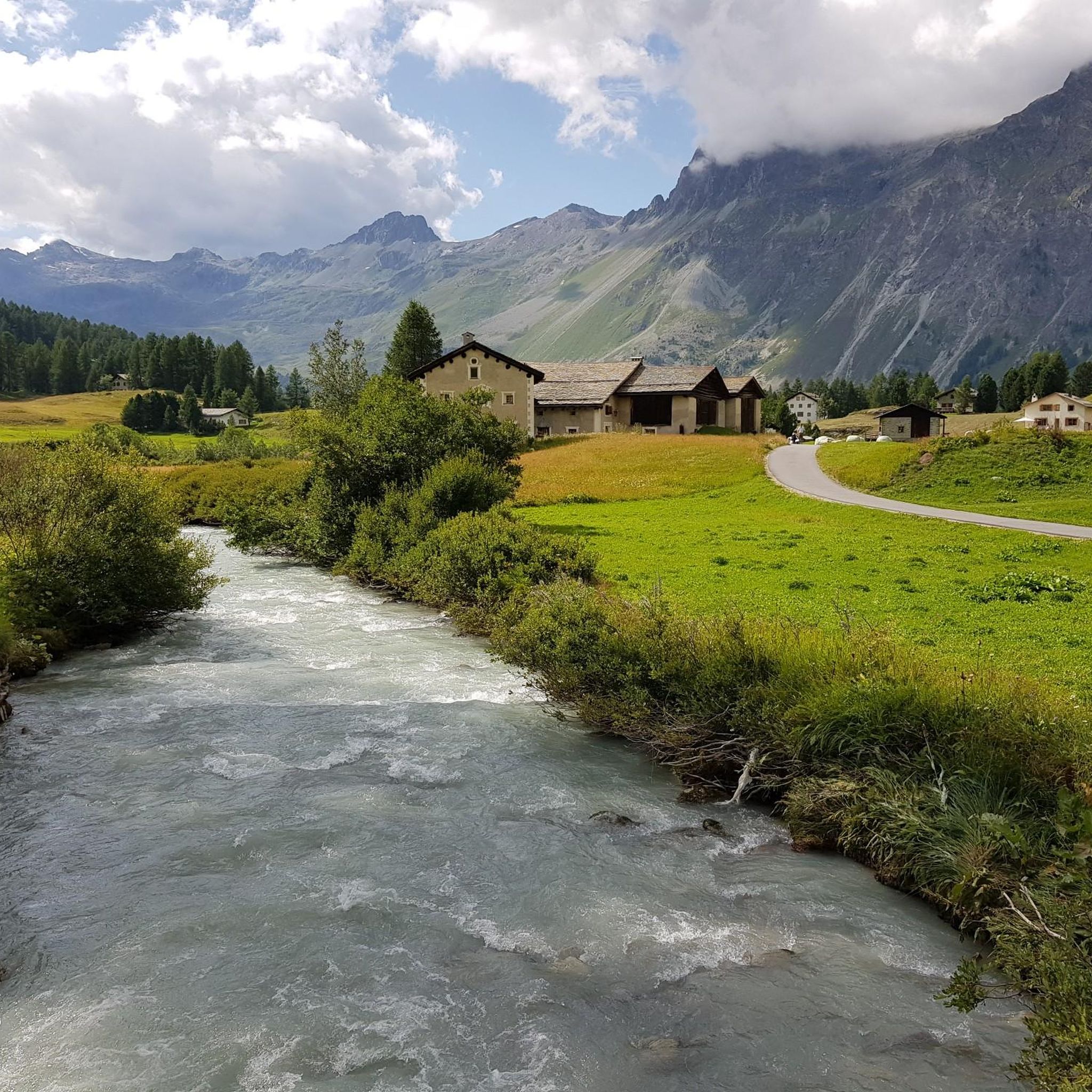
Running Trails around Sils im Engadin/Segl
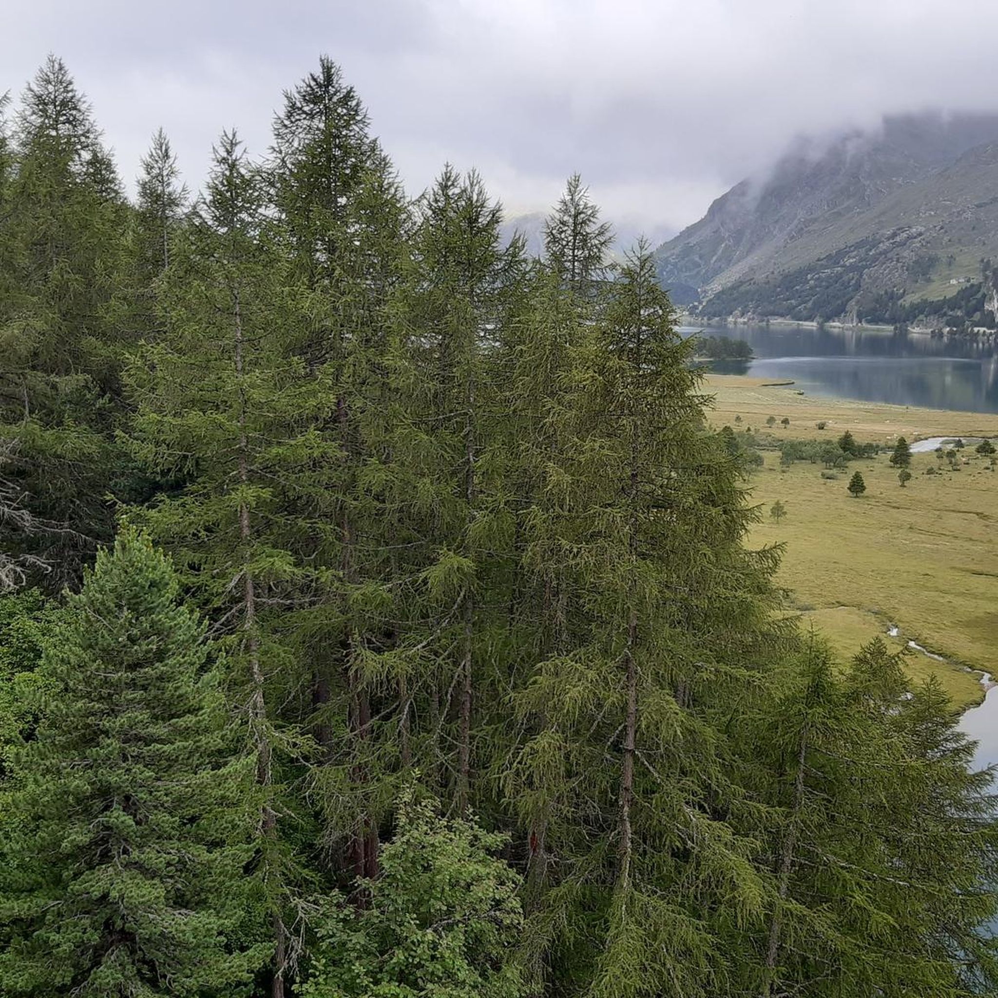
Cycling around Sils im Engadin/Segl
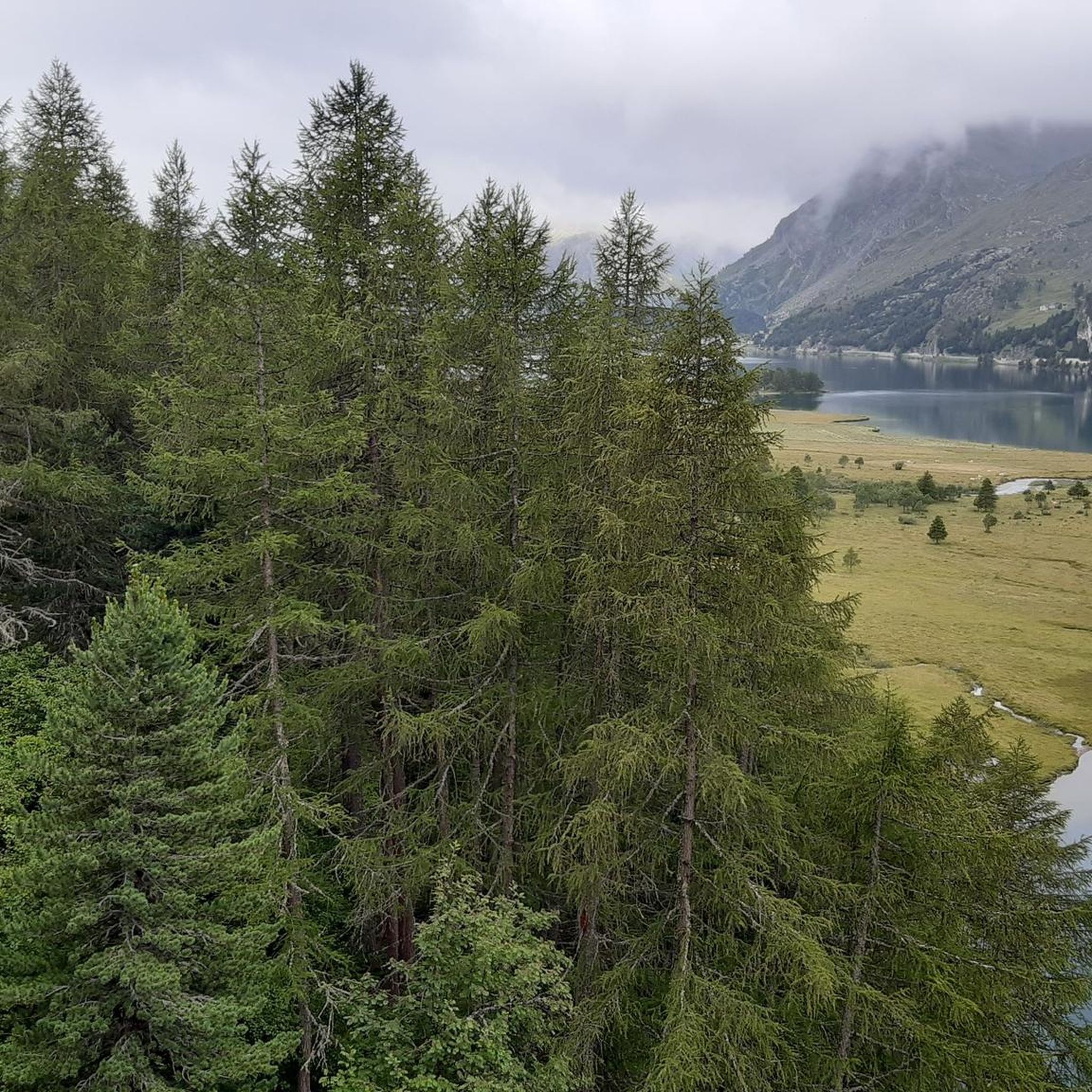
Road Cycling Routes around Sils im Engadin/Segl

Gravel biking around Sils im Engadin/Segl
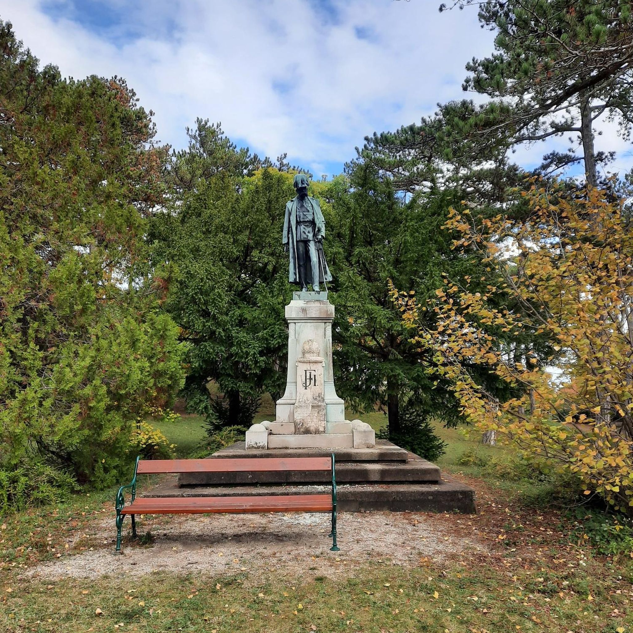
Mountain Hikes around Sils im Engadin/Segl
Other adventures around Sils im Engadin/Segl


Tips from the Community

Julier Pass, History (Pass height 2284 m above sea level) The column remnants exactly at the summit of the Julier Pass and the finds of Roman coins nearby point to a very early use of this Alpine crossing. The Septimer Pass, a few kilometers to the west, which was however steeper and more avalanche-prone, can certainly be considered a competitor. What is certain is that both were used intensively in Roman times. The Julier even with two-wheeled carts. In the age of packhorse trains, the Julier increasingly lost importance because the topography at the Septimer Pass was hardly a factor and, moreover, the detour via the Engadin was not necessary. With the construction of a cart track over the Septimer (1387), the Julier was definitively left behind. The Julier remained important for access to the Upper Engadin and the Bernina Pass. The actual road construction over the Julier took place between 1820 and 1826. In this phase of history, the Julier retained "the upper hand" over the Septimer. On the one hand, topographical reasons were decisive, and on the other hand, the canton could not afford to ignore the Engadin. This was the first road construction project in which the canton acted as the client. In the second half of the 19th century, various route adjustments followed, which became necessary due to the increasing feeder traffic for the Upper Engadin health resorts. The opening of the Albula Line of the Rhaetian Railway in 1903 caused car traffic over the Julier to collapse again. When the Federal Council put pressure on the Graubünden government in 1923 for a car-suitable transit route, the canton opted for the Julier route. Between 1935 and 1940, the pass road was renovated and was the first Alpine crossing to receive an asphalt surface. Today, the Julier is the most important, year-round open, northern access to the Engadin. Text / Source: Interessengemeinschaft Alpenpässe IAP, Postfach 11, Realp https://www.alpen-paesse.ch/de/alpenpaesse/julierpass/
13
0
Already in the Roman Empire around 2,000 years ago Already in the Roman Empire around 2,000 years ago, the Julier Pass was of great importance. At the pass summit, two columns of a Roman sanctuary still stand today. Today, the pass road over the Julier is the most important road connection to the Engadin and is passable all year round. In the vicinity of the Julier, you will find numerous hiking and biking routes on which the landscape can be ideally explored. From the Julierhospitz (pass summit 2284 m above sea level), the exploration tour or hike to the clear mountain lake Leg Grevasalvas begins. Text / Source: Graubünden Ferien, Alexanderstrasse 24, Chur https://www.graubuenden.ch/de/ausflugsziele/julierpass
13
0


At least 2 km with the bike on your shoulder
0
0

Very nice long high alpine trail in a beautiful mountain environment.
1
0


Maloja at 1815m takes its name from the pass of the same name and connects Chiavenna to Sant Moritz. It divides the Bregaglia Valley from the Engadine and therefore also the Po basin from that of the Inn. An area of great historical and naturalistic charm, not only a passing point but also an excellent starting point for taking a tour in the neighboring valleys.
1
0

Perfect serpentines that make racing cyclists' hearts beat faster.
0
0
Frequently Asked Questions
What are some notable mountain passes to visit in the Sils im Engadin/Segl area?
Beyond the most popular, the Julier Pass is a significant historical route, open year-round, and features a unique red theater structure. The Maloja Pass offers a distinctive topography with a gentle northern slope and dramatic southern hairpin bends, connecting the Engadin valley to Italy. For a challenging trail experience with stunning views, consider the Val Suvretta Trail.
What makes the Julier Pass historically significant?
The Julier Pass has a rich history dating back to Roman times, serving as a crucial trade route. Evidence of Roman roads can still be found in the area. The modern road, built in the 1820s, was also notable for being the first Swiss alpine road to be paved with asphalt between 1935 and 1940. You can learn more about its history on Wikipedia.
What unique natural features can I expect to see at the Maloja Pass?
The Maloja Pass is known for its unique topography, marking a significant watershed divide between the Inn and Po rivers. It features a relatively flat northern side and a steep, winding southern descent into the Bergell valley, offering a distinctive driving and cycling experience. The area also provides access to stunning views and is part of the Engadiner Höhenweg, with attractions like glacial mills and the Belvedere Tower in the village of Maloja.
Are the mountain passes around Sils im Engadin/Segl accessible during winter?
Yes, both the Julier Pass and the Maloja Pass are generally open throughout the winter. The Julier Pass is considered a main traffic artery and remains open year-round. While the Maloja Pass is also typically open, heavy snowfalls can lead to temporary closures, so it's always advisable to check local conditions before traveling.
What kind of hiking opportunities are available near the Julier Pass?
The area around the Julier Pass offers impressive landscapes and various hiking opportunities. A notable hike is the Julier Pass - Fuorcla Grevasalvas - Sils route, which provides beautiful views of Lake Sils, the Bergell granite mountains, and the serene Lej Grevasalvas. For more hiking options, you can explore the Hiking around Sils im Engadin/Segl guide.
What outdoor activities can I do near these mountain passes?
The region around Sils im Engadin/Segl offers diverse outdoor activities. You can enjoy hiking, road cycling, and gravel biking. For hiking, routes like the 'Trail to Alp da Segl – Alp Muot Selvas loop' are popular. Road cyclists can tackle routes such as the 'View of the Bernina Pass – Bernina Pass loop'. Gravel biking options include the 'Val Roseg – Morteratsch Glacier loop'. Find more details in the respective guides: Hiking, Road Cycling, and Gravel Biking.
Are there challenging trails for experienced cyclists or hikers?
Yes, for those seeking a challenge, the Val Suvretta Trail is a challenging mountain pass trail that offers pure driving pleasure and postcard panoramas, especially with yellow larches in autumn. For road cyclists, the 'View of the Bernina Pass – Bernina Pass loop' is rated as difficult. You can find more challenging routes in the Road Cycling Routes around Sils im Engadin/Segl guide and Gravel biking around Sils im Engadin/Segl guide.
What do visitors enjoy most about the mountain passes in this region?
Visitors frequently highlight the spectacular panoramas, especially from spots like Fuorcla Surlej, which offers views of a huge arena of ice and rock, including Piz Bernina and its glaciers. The pure driving pleasure on trails like the Val Suvretta Trail and the historical significance of passes like the Julier Pass are also highly appreciated.
Can I find viewpoints with impressive scenery along these passes?
Absolutely. The Fuorcla Surlej is renowned for one of the most spectacular panoramas of the Alps, with views of Piz Bernina and its glaciers. The Julier Pass also offers great panoramas in all directions. The Maloja Pass provides access to stunning vistas, particularly along sections of the Engadiner Höhenweg.
Are there any specific recommendations for autumn visits to the mountain passes?
Yes, autumn is a particularly beautiful time to visit. The Val Suvretta Trail is highly recommended during this season, as the yellow larches create a dreamlike postcard panorama, enhancing the driving pleasure through the high mountain valley.
What is the best way to experience the Maloja Pass's unique topography?
The Maloja Pass's unique topography, with its contrasting gentle northern slope and dramatic southern hairpin bends, is best experienced by driving or cycling. The descent towards Chiavenna, in particular, features a series of challenging serpentines that are a highlight for many visitors. You can find more details on the Maloja Pass Wikipedia page.
Most popular routes around Sils im Engadin/Segl
Most popular attractions around Sils im Engadin/Segl

Get inspired with the komoot mobile app


Explore more
See even more epic mountain passes by checking out these guides around Sils im Engadin/Segl:
