Top 5 Mountain Passes around Mayschoß
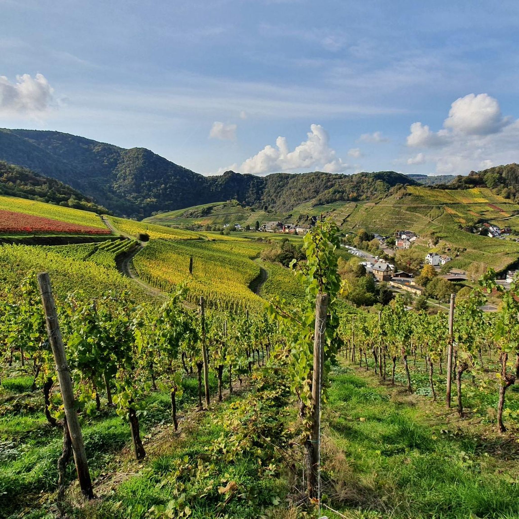
Best mountain passes around Mayschoß are found in the Ahr Valley, a region characterized by vineyards, forests, and dramatic rock formations. The area offers numerous elevated trails and viewpoints that provide challenging climbs and panoramic vistas. These routes showcase the unique natural landscape of the Ahr region.
Best mountain passes around Mayschoß
- The most popular mountain pass is Winnen Climb, a climb that features hairpin bends through a forest. It offers views of Burgsahr and the Sahrbach valley, characterized…
Last updated: July 7, 2026
Winnen Climb
Highlight (Segment) • Climb
Translated by Google •
Tip by

Linder Höhe Pass from Brück
Highlight (Segment) • Climb
Translated by Google •
Tip by

Sign up now to discover places like this
Get recommendations on the best single tracks, peaks, & plenty of other exciting outdoor places.
Sign up for free
Maubisch Pass
Highlight • Mountain Pass
Translated by Google •
Tip by

Schweißberg Pass
Highlight (Segment) • Mountain Pass
Translated by Google •
Tip by

Col du Kraelingen
Highlight • Mountain Pass
Translated by Google •
Tip by

Start today with a free account
Your next adventure awaits.
Login or Signup
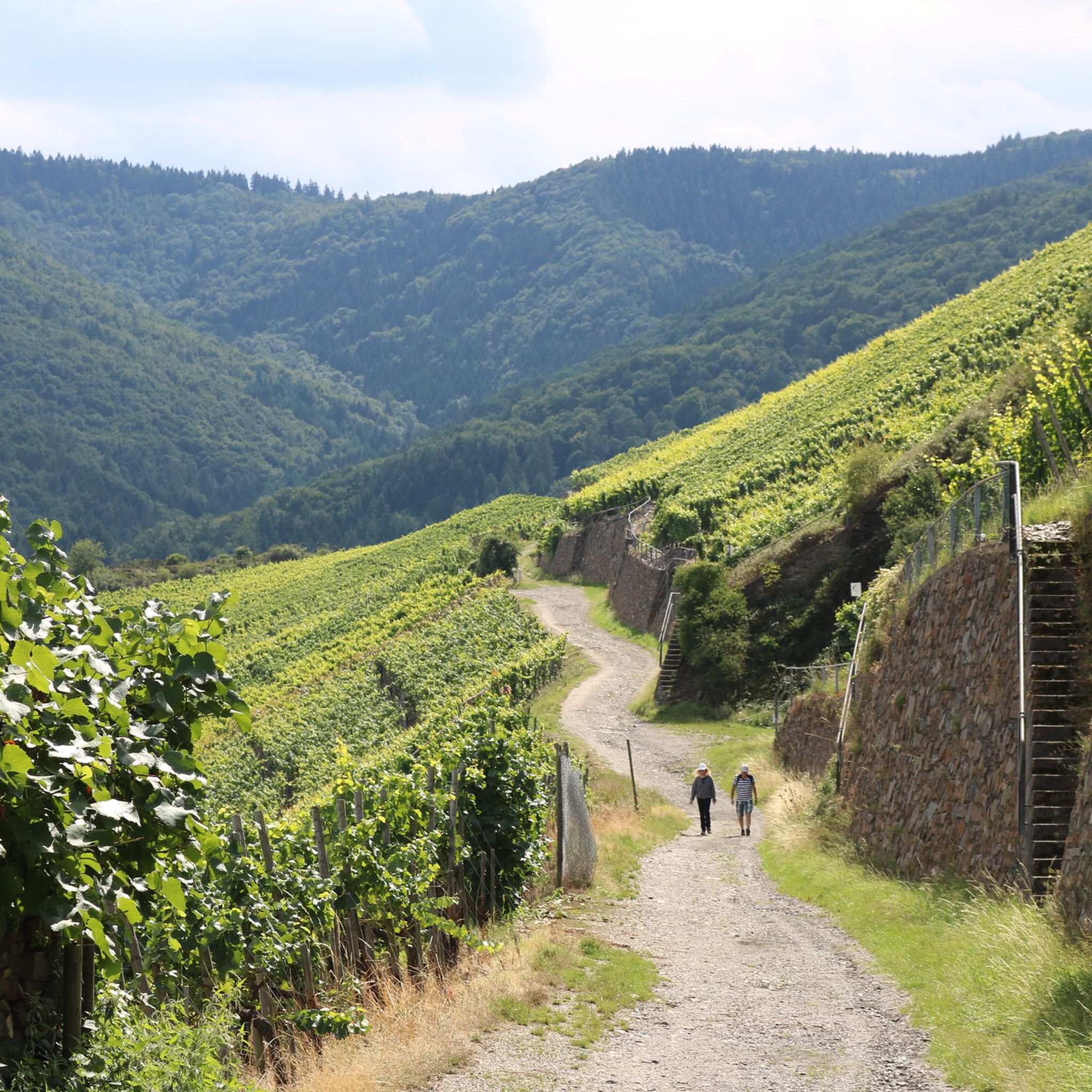
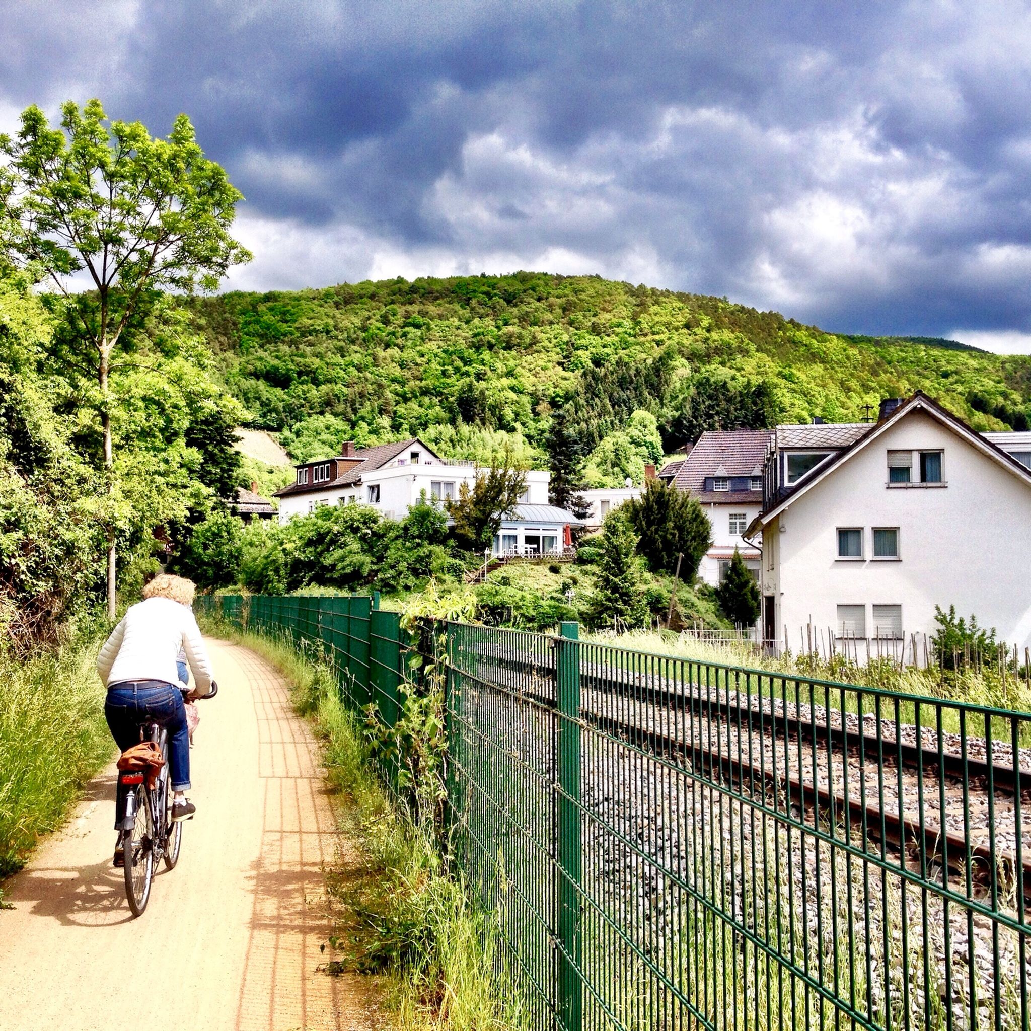
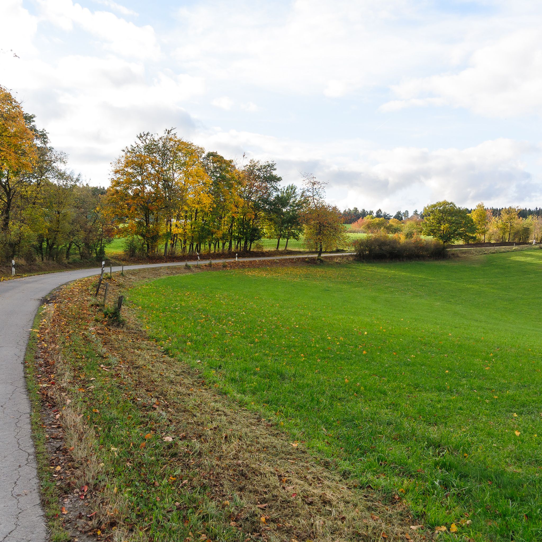
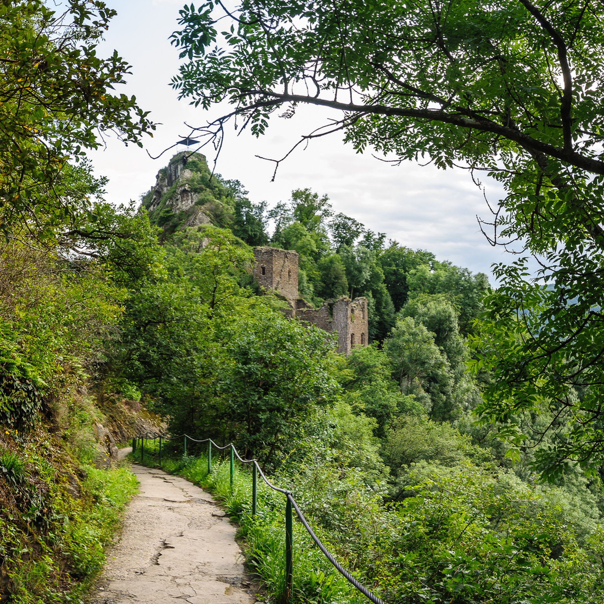

Tips from the Community


Beautiful climb from Burgsahr (Sahrbachtal) up to Winnen via a narrow asphalt road with serpentines.
0
0

Not much of a view because it's in the forest, but it's a great climb.
1
0

In terms of altitude, it is one of the longest climbs in the Eifel.
0
0

Good to ride both up and down. Always fun.
2
0

What a nice name for a climb. I can only confirm it. I was there on a Monday morning and it was very quiet. The asphalt is fine and the gradient is not too steep and fairly even.
0
0
The ascent to Krälingen is legendary, especially for racing cyclists. Six well-paved serpentines lead from the beautiful Sahrbach valley up to the Eifel town... after just under 4km and around 200m of elevation, the climb is mastered. A great view awaits at the top...
2
0
Nice to ride, can be easily integrated into tours
0
0
Frequently Asked Questions
What kind of terrain can I expect on the elevated routes and passes around Mayschoß?
The elevated routes and passes around Mayschoß, while not traditional high-altitude mountain passes, offer diverse and often challenging terrain. You can expect steep slopes, rocky paths, steps, and sections that may require some scrambling, especially on routes like those leading to Teufelsley and Engelslay. Many paths wind through vineyards, dense forests, and along dramatic rock formations, providing a varied and engaging experience.
Are there any particularly challenging climbs for experienced cyclists or hikers?
Yes, for those seeking a challenge, the region offers several demanding routes. The Linder Höhe Pass from Brück is considered one of the hardest climbs in the North Eifel, featuring great scenery and good asphalt. Cyclists also find the ascent to Col du Kraelingen legendary, with six well-paved serpentines and around 200m of elevation gain over 4km. For hikers, routes involving Teufelsley and Engelslay are known for their 'Alpine Felsen' and scrambling sections.
Which routes offer the best panoramic views of the Ahr Valley?
Many routes around Mayschoß are celebrated for their stunning vistas. The Winnen Climb provides great views of Burgsahr and the Sahrbach valley. The Saffenburg Castle Ruins offer sensational 360-degree panoramic views over the Ahr valley, even winning 'Most Beautiful Wine View Ahr 2020'. Additionally, the Ümerich Viewpoint provides a magnificent perspective of Mayschoß, Burg Are, and the meandering Ahr River.
What historical or cultural sites can I visit along these routes?
The region combines natural beauty with cultural significance. The Saffenburg Castle Ruins, a medieval hilltop castle, is a prominent historical landmark offering incredible views. Along sections of the Red Wine Trail, you can also find local wineries, providing an opportunity to experience the region's viticultural heritage.
Are there family-friendly options for exploring the elevated trails near Mayschoß?
While many routes involve steep sections, some parts of the Red Wine Trail offer more varied terrain that can be enjoyed by families, though some sections still include steep steps. For a less strenuous experience with great views, the Ümerich Viewpoint is accessible via a dirt track, making it a good option for families looking for a grand perspective without extreme difficulty.
What are the best outdoor activities to do near the mountain passes around Mayschoß?
The area around Mayschoß is perfect for various outdoor activities. You can enjoy extensive cycling tours, with routes like the 'View of Kloster Kalvarienberg – Ahr Estuary Bridge loop from Rech' (48.8 km, moderate) or the 'Pützfeld Chapel – View of Kreuzberg Castle loop from Mayschoß' (42.4 km, difficult). For mountain biking, consider the 'Steinerberg Viewpoint – Steinerberghaus loop from Mayschoß' (34.7 km, difficult). You can find more details on these activities in the Cycling around Mayschoß and MTB Trails around Mayschoß guides.
When is the best time of year to visit Mayschoß for hiking and cycling?
The Ahr Valley is beautiful throughout much of the year. Spring offers lush greenery and blooming vineyards, while autumn is particularly stunning with the vibrant colors of the foliage and harvest season. Summer provides warm weather ideal for outdoor activities. However, some challenging routes may be more enjoyable in milder temperatures to avoid overheating on steep climbs.
What do visitors enjoy most about the mountain passes and elevated routes in Mayschoß?
Visitors consistently praise the breathtaking panoramic views of the Ahr Valley, its vineyards, and dramatic rock landscapes. Many appreciate the challenging terrain that provides a good workout for hikers and cyclists. The quiet, almost car-free nature of some routes, like the Winnen Climb, is also a highlight, offering a peaceful experience amidst stunning natural beauty.
Are there any specific routes recommended for gravel biking?
Yes, the region offers excellent opportunities for gravel biking. Routes like the 'Steinerberghaus – Altenahrer Eck loop from Ahrweiler Markt' (39.7 km, difficult) or the 'Krausberg Tower – Altenahrer Eck loop from Dernau' (34.2 km, difficult) are popular choices. You can explore more options in the Gravel biking around Mayschoß guide.
Where can I find parking when visiting the hiking and cycling areas around Mayschoß?
Mayschoß itself has parking facilities, and many trailheads in the surrounding towns and villages offer designated parking areas. It's advisable to check local signage upon arrival or consult specific route descriptions for the most convenient parking spots near your chosen starting point.
Are there options for refreshments or accommodation near the trails?
Mayschoß and the surrounding Ahr Valley towns are well-equipped with amenities. You'll find various cafes, pubs, and restaurants offering regional specialties and local wines. There are also numerous accommodation options, from guesthouses to hotels, catering to different preferences and budgets, making it easy to plan an extended stay.
What is the <a href="https://www.komoot.com/highlight/745773" target="_blank" rel="noopener">Maubisch Pass</a> known for?
The Maubisch Pass is well-regarded for its steep climb and the rewarding panoramic views it offers. It's a popular spot for cyclists, with many finding the ascent enjoyable, especially with an e-bike, though it's also feasible with pure muscle power for those seeking a challenge.
Most popular routes around Mayschoß
Most popular attractions around Mayschoß

Get inspired with the komoot mobile app


Explore more
See even more epic mountain passes by checking out these guides around Mayschoß:
