Top 4 Natural Monuments around Meggenhofen
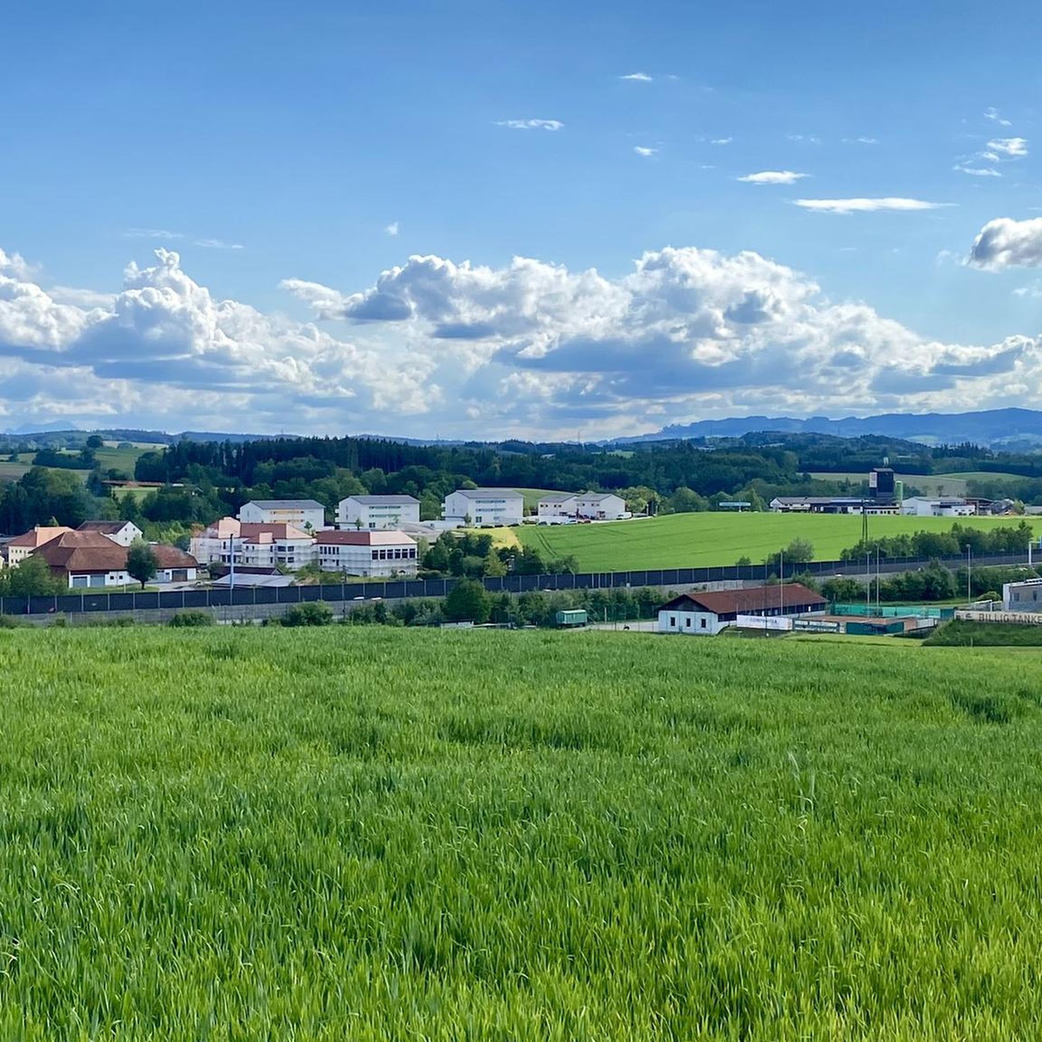
Best natural monuments around Meggenhofen are found in a municipality characterized by its rural landscape, with extensive farmland and forests. Located in the Hausruckviertel region of Upper Austria, the area offers opportunities for outdoor activities. Its natural features include various viewpoints, bodies of water, and unique geological formations.
Best natural monuments around Meggenhofen
- The most popular natural monuments is Pond on the Ager, a lake that serves as a resting area next to the confluence of the Ager and…
Last updated: July 8, 2026
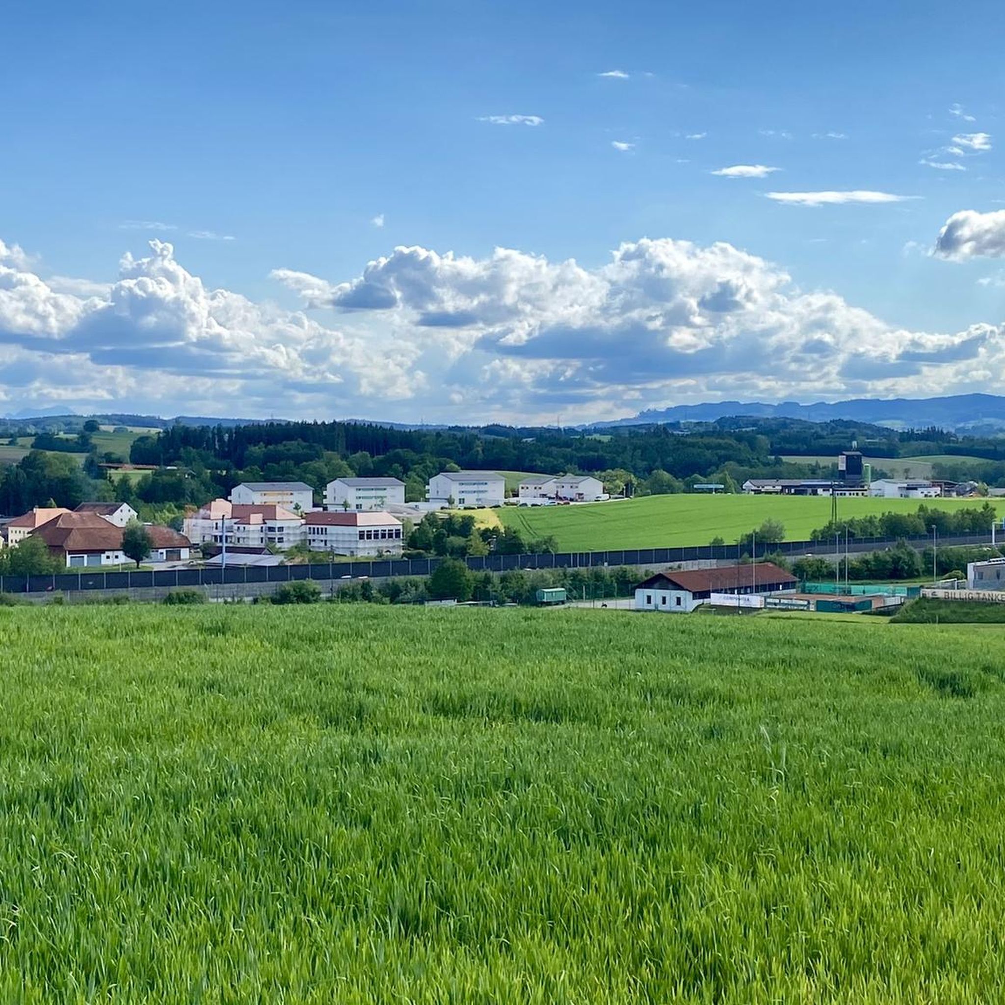
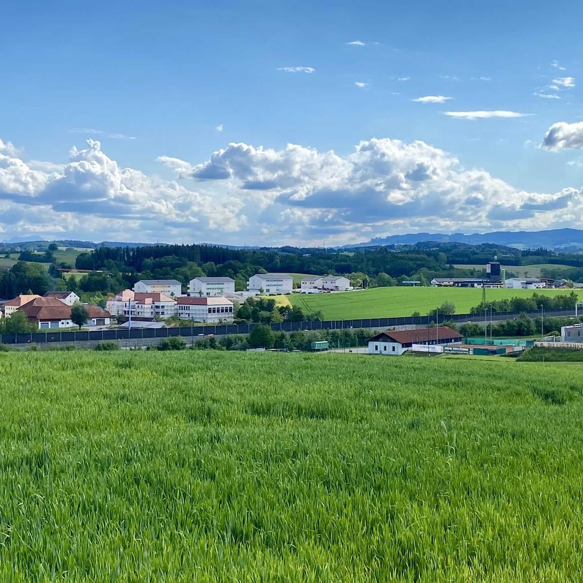
Krailberg Summit Cross (504 m)
Highlight • Summit
Translated by Google •
Tip by

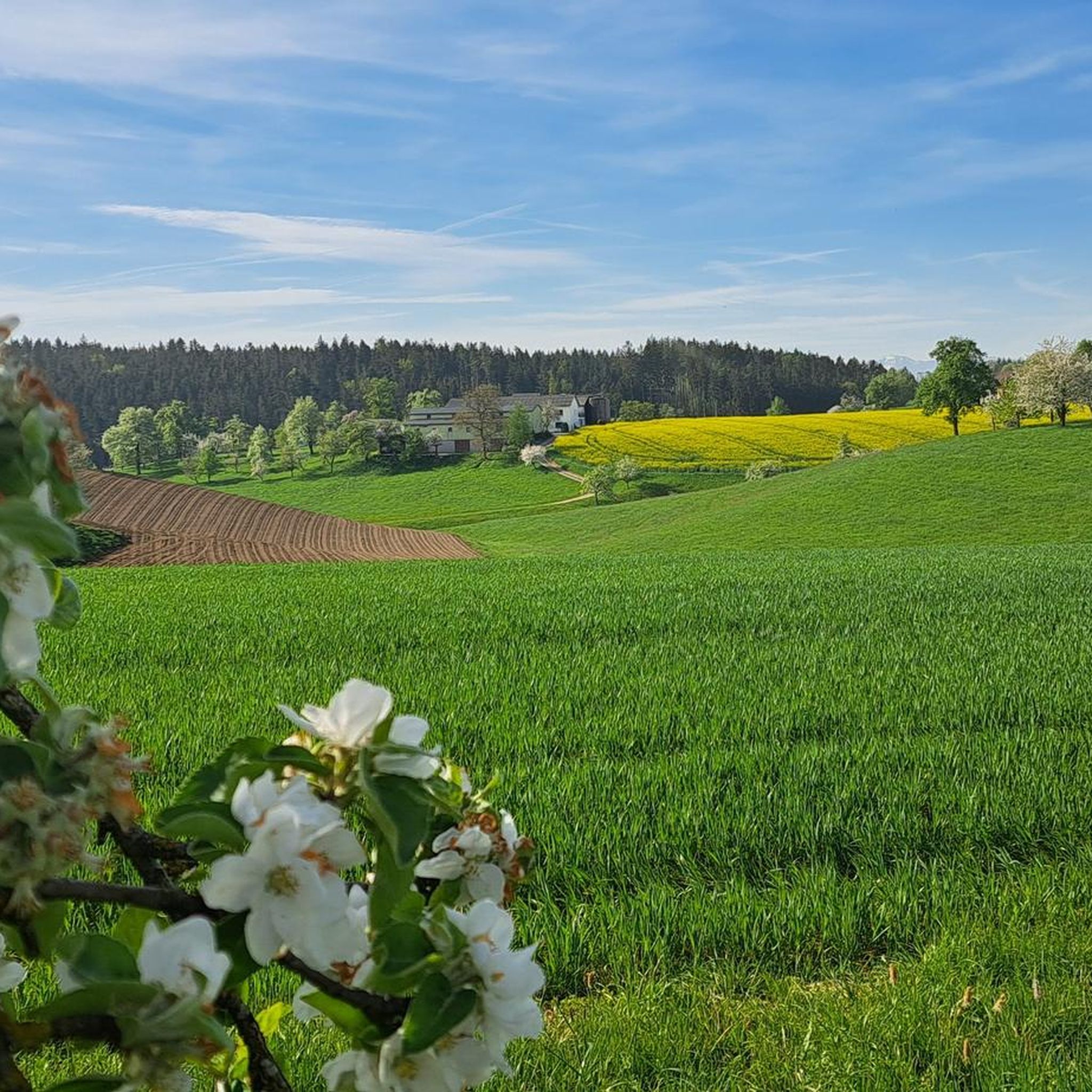
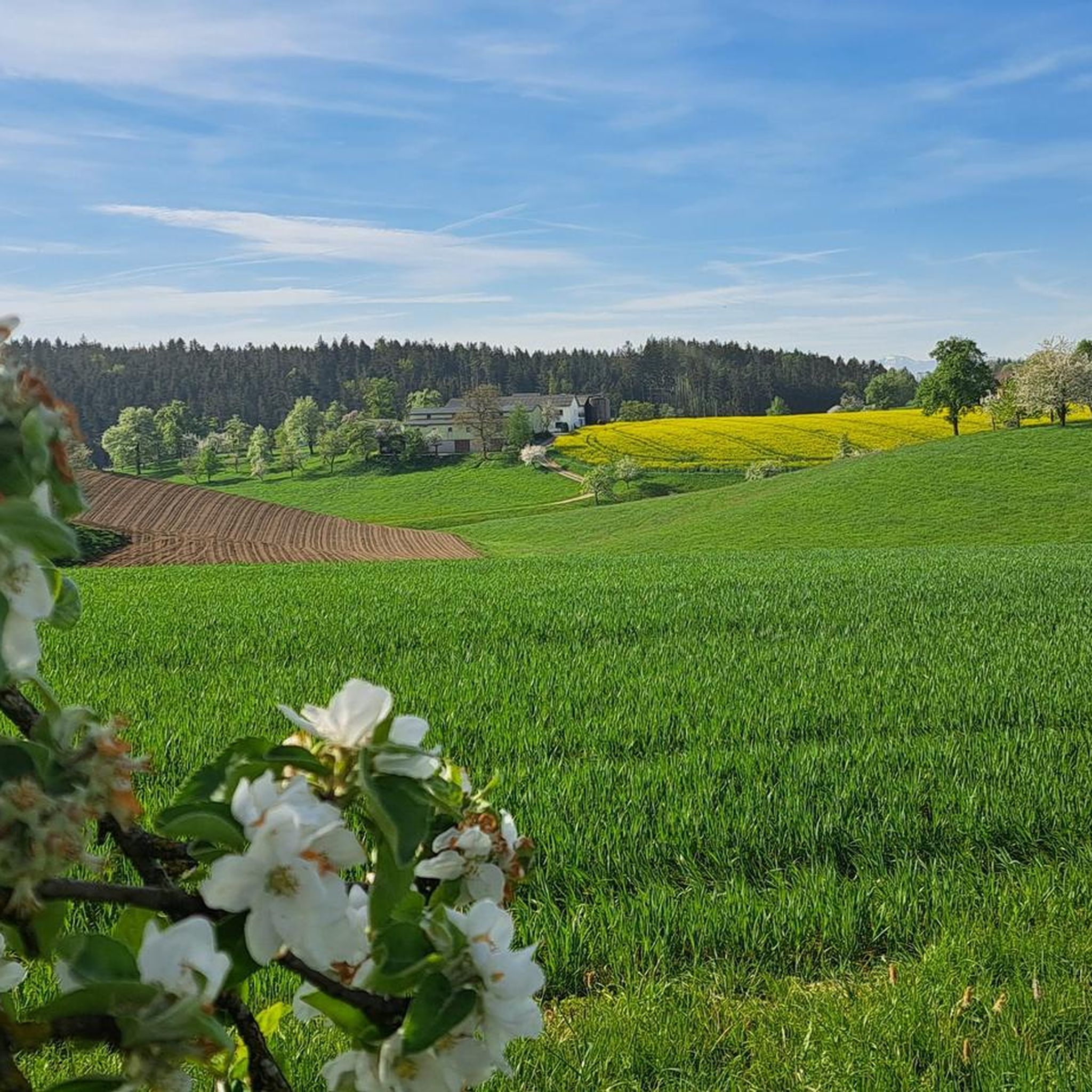
Pond on the Ager
Highlight • Lake
Translated by Google •
Tip by
Sign up now to discover places like this
Get recommendations on the best single tracks, peaks, & plenty of other exciting outdoor places.
Sign up for free
Geyser Garden (Eurothermenpark Bad Schallerbach)
Highlight • Natural Monument
Translated by Google •
Tip by

Sulfur Thermal Spring Fountain in Kurpark, Bad Schallerbach
Highlight • Natural Monument
Translated by Google •
Tip by
Col de Breitwieser
Highlight • Viewpoint
Translated by Google •
Tip by
Sign up for free to discover even more natural monuments around Meggenhofen.
Sign up for free
Already have an account?
Start today with a free account
Your next adventure awaits.
Login or Signup
Tips from the Community

Halfway point of the Krailbergrunde, good rest stop
1
0

Length: 5.7 km Duration: 1 hour 20 minutes Condition: asphalt; suitable for strollers/wheelchairs Tour features: “Col de Breitwieser” summit cross, view of the Totes Gebirge/Traunstein Starting in the town center through the Hermann-Erdpresser settlement towards Kröpfmühle, at the height of the Hausruckbau company, turn left through the railway underpass, left past the “Schachermayergut” up to the vineyard, back via the Franzlweg underpass and the old Rosenau to the town center.
1
1

Created for the State Garden Show 2009
0
1

The highest point in the Wels-Land district is on the Steindlberg at 513m. That's 9m higher than the famous Krailberg.
1
0

Coming from the south (vineyard), enter the forest, then turn left (do not go around the forest to the southwest, it will be difficult there), from the north (staffel) there are 2 steeper paths leading up, we used the left one around the outside, at the top it is then comfortably flat in the forest to the summit cross
1
0

Krailberg is the highest point in the Wels-Land district with a height of 504 meters. It lies on the border of the communities of Bachmanning, Neukirchen and Pennewang. There is a summit cross on the Krailberg that was built in 2011. Krailberg is a popular destination for hikers who can enjoy beautiful hiking trails through picturesque forests. There are several routes to reach the summit, starting from various villages in the area. Some of the most recommended are: Hike from Bachmanning: This is a 9.5 km long hiking trail that starts from the Bachmanning town hall and passes the St. Leonhard Chapel and the Bachmanning Castle before reaching the summit of Krailberg. Hike from Neukirchen: This is a 7.5 km long circular route that starts from the Neukirchen multi-purpose hall and follows a forest road to the summit of the Krailberg. Hike from Pennewang: This is a 6.5 km long circular route that starts from the Pennewang church and crosses the fields and forests to the summit of the Krailberg.
2
3
Krailberg is a peak in Wels-Land, Austria, with an elevation of 504 meters. It is the highest point in the Wels-Land district, where the communities of Bachmanning, Neukirchen and Pennewang meet. There are several hiking trails leading to the summit, with varying degrees of difficulty. A popular starting point for a hike to Krailberg is Pennewang, where you can park at the community square. The hike lasts about 2 hours and 15 minutes and covers a distance of about 10 km with a vertical drop of 190 meters. The trail consists of asphalt roads, forest trails and gravel roads.
9
1
It is 504 meters high and lies on the border between the communities of Bachmanning, Neukirchen and Pennewang. The Krailberg is a popular hiking destination for locals and visitors who want to enjoy the beautiful scenery and views. There are different ways to reach the summit, depending on where you start and how long you want to hike.
9
1
Frequently Asked Questions
What kind of natural features can I explore around Meggenhofen?
Meggenhofen is characterized by its rural landscape, featuring extensive farmland and forests. While there aren't many prominent geological formations, you can find various viewpoints, tranquil bodies of water, and unique cultivated garden features. Highlights include the Krailberg Summit Cross (504 m), offering panoramic views, and the peaceful Pond on the Ager.
Are there any family-friendly natural monuments in the area?
Yes, several natural monuments around Meggenhofen are suitable for families. The Pond on the Ager is a great resting area for all ages. The Geyser Garden (Eurothermenpark Bad Schallerbach), with its extraordinary water feature, and the Sulfur Thermal Spring Fountain in Kurpark, Bad Schallerbach are also noted as family-friendly.
What outdoor activities can I do near these natural monuments?
The rural landscape around Meggenhofen is ideal for various outdoor activities. You can enjoy hiking and cycling, with many trails passing by or near these natural spots. For specific routes, you can explore options like those found in the Hiking around Meggenhofen guide or the MTB Trails around Meggenhofen guide.
Are there hiking trails that lead to these natural monuments?
Absolutely. For instance, the Krailberg Summit Cross (504 m) is a popular hiking destination, marking the highest point of the Wels-Land district. You can find various routes to reach the summit, depending on your preferred starting point and hike length. Check the Hiking around Meggenhofen guide for detailed trail information.
Where can I find scenic viewpoints around Meggenhofen?
For scenic views, the Krailberg Summit Cross (504 m) offers expansive vistas as the highest point in the Wels-Land district. Another excellent spot is Col de Breitwieser, which provides a nice vantage point with benches and even a summit book, offering views towards the Totes Gebirge/Traunstein.
Is there a natural monument that is wheelchair accessible?
Yes, the Sulfur Thermal Spring Fountain in Kurpark, Bad Schallerbach is noted as wheelchair accessible. Additionally, the Col de Breitwieser viewpoint is also suitable for strollers and wheelchairs, featuring an asphalt path.
What is the best time of year to visit the natural monuments around Meggenhofen?
The best time to visit is generally during the warmer months, from spring to autumn, when the weather is pleasant for outdoor activities like hiking and cycling. The cultivated gardens, such as the Geyser Garden, are particularly vibrant during spring and summer. Winter can offer a different, quieter experience, especially for walks through the forests and farmlands, but some paths might be less accessible.
Are there any natural monuments with unique water features?
Yes, the Geyser Garden (Eurothermenpark Bad Schallerbach) is known for its extraordinary water feature, created for the State Garden Show 2009. Additionally, the Sulfur Thermal Spring Fountain in Kurpark, Bad Schallerbach offers a unique experience with its distinct sulfur water.
What do visitors particularly enjoy about the natural monuments in this region?
Visitors appreciate the tranquility and natural beauty of the area. The Pond on the Ager is loved as a peaceful resting spot for bikers and hikers. The Krailberg Summit Cross (504 m) is popular for its beautiful scenery and panoramic views, making it a rewarding hiking destination.
Can I bring my dog to the natural monuments around Meggenhofen?
While specific regulations for each natural monument may vary, generally, the rural landscape and many hiking trails around Meggenhofen are dog-friendly. It's always advisable to keep dogs on a leash, especially in areas with wildlife or near cultivated gardens, and to clean up after them. The Pond on the Ager, for example, is a great spot for a walk with your canine companion.
Where can I find easy hiking routes near these natural monuments?
For easier walks, you can explore the options listed in the Easy hikes around Meggenhofen guide. These routes often traverse the gentle farmlands and forests, providing accessible ways to enjoy the region's natural beauty without strenuous climbs. Some of these paths may lead to or pass by viewpoints like Col de Breitwieser.
Most popular routes around Meggenhofen
Most popular attractions around Meggenhofen

Get inspired with the komoot mobile app


Explore more
Extend your search for the best caves by checking out these guides of the top ones around Meggenhofen:
