Top 20 Natural Monuments around Oberelsbach
Natural monuments around Oberelsbach are situated within the UNESCO Biosphere Reserve Rhön, an area recognized for its rich biodiversity. The region features Nardus grasslands, ancient beech forests, and herb-rich mountain meadows. This landscape provides diverse habitats for various plant and animal species, making it a hotspot of biodiversity. Visitors can explore numerous trails, including connections to the premium "Hochrhöner" hiking trail.
Best natural monuments around Oberelsbach
- The most popular natural monuments is Pferdskopf Summit, a summit of volcanic origin.…
Last updated: June 24, 2026
Wasserkuppe aviation memorial
Highlight • Monument
Translated by Google •
Tip by

Wasserkuppe
Highlight • Monument
Translated by Google •
Tip by

Sign up now to discover places like this
Get recommendations on the best single tracks, peaks, & plenty of other exciting outdoor places.
Sign up for free
Guckaisee
Highlight • Lake
Translated by Google •
Tip by

Boardwalk Trail Through the Rotes Moor
Highlight (Segment) • Trail
Translated by Google •
Tip by

Golgotha group (Three Crosses) on the Kreuzberg
Highlight • Monument
Translated by Google •
Tip by

Sign up for free to discover even more natural monuments around Oberelsbach.
Sign up for free
Already have an account?
Start today with a free account
Your next adventure awaits.
Login or Signup
Popular around Oberelsbach

Extra tours South - Excellent premium hiking trails of the Rhön

Discover Rhön - Half-day tours through the biosphere reserve

Naturlehrpfade – Natur und Wissen
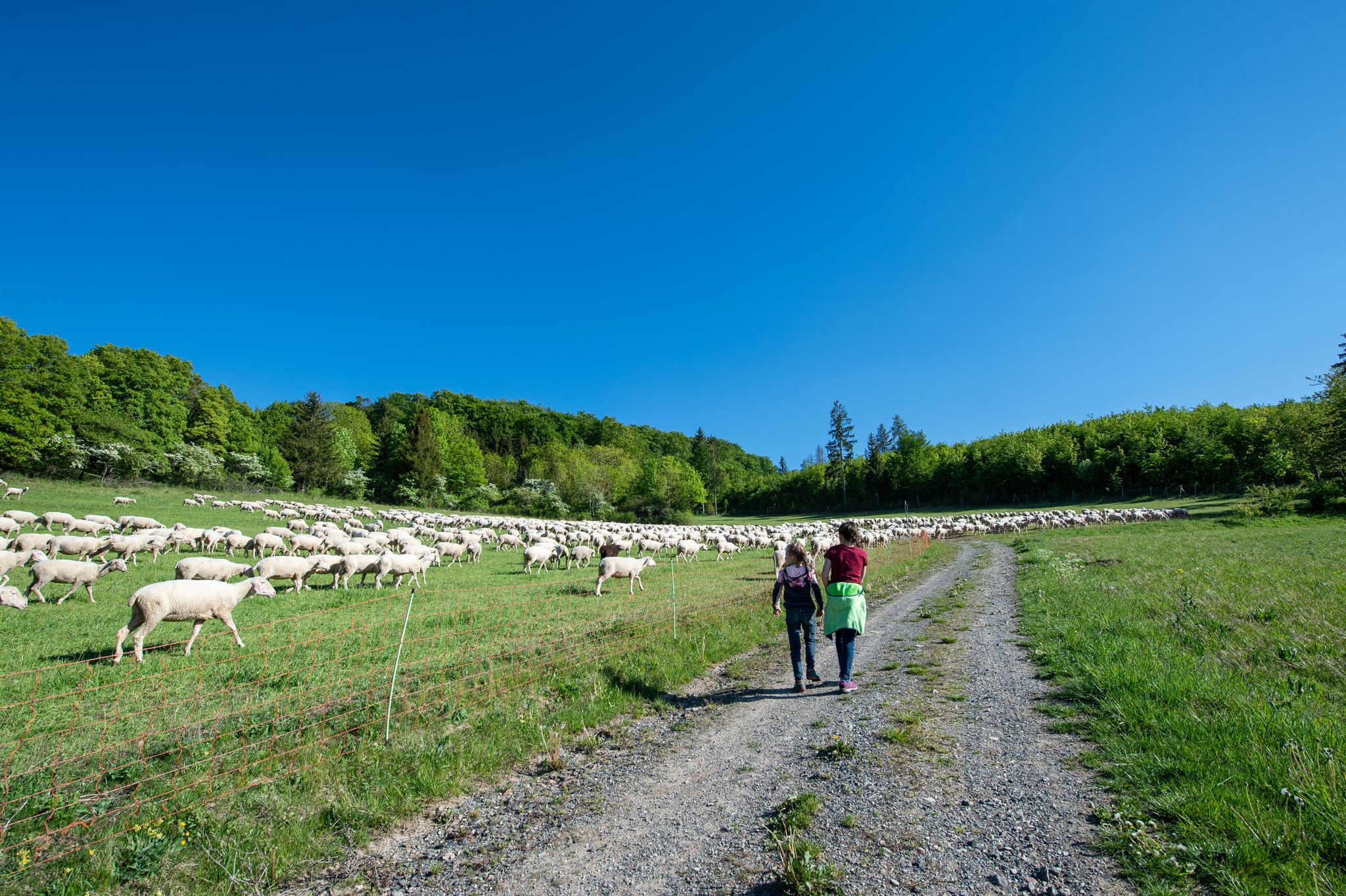
Family paths - on the way with kids in the Rhön

Rundwanderwege um Oberelsbach
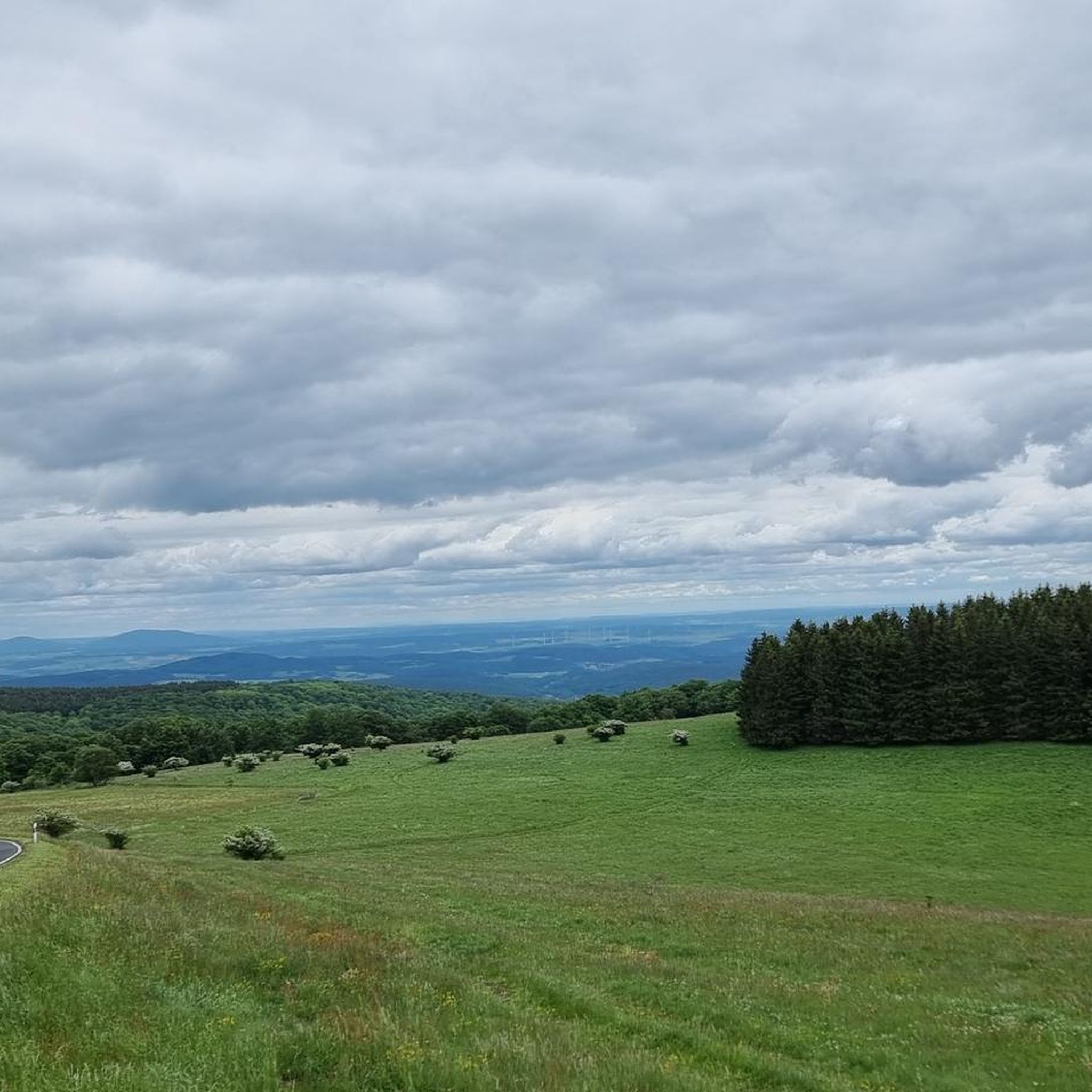
Hiking around Oberelsbach
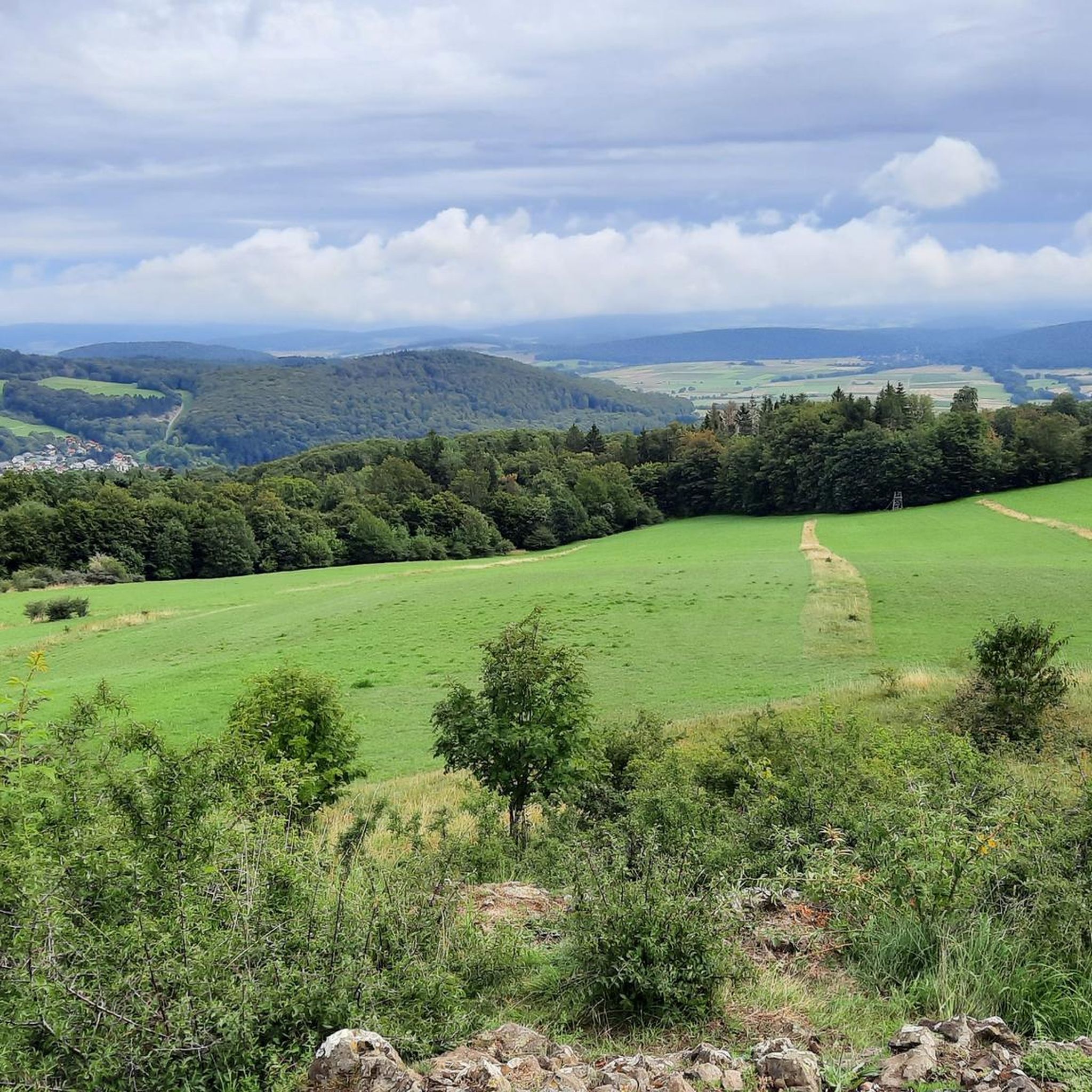
Cycling around Oberelsbach
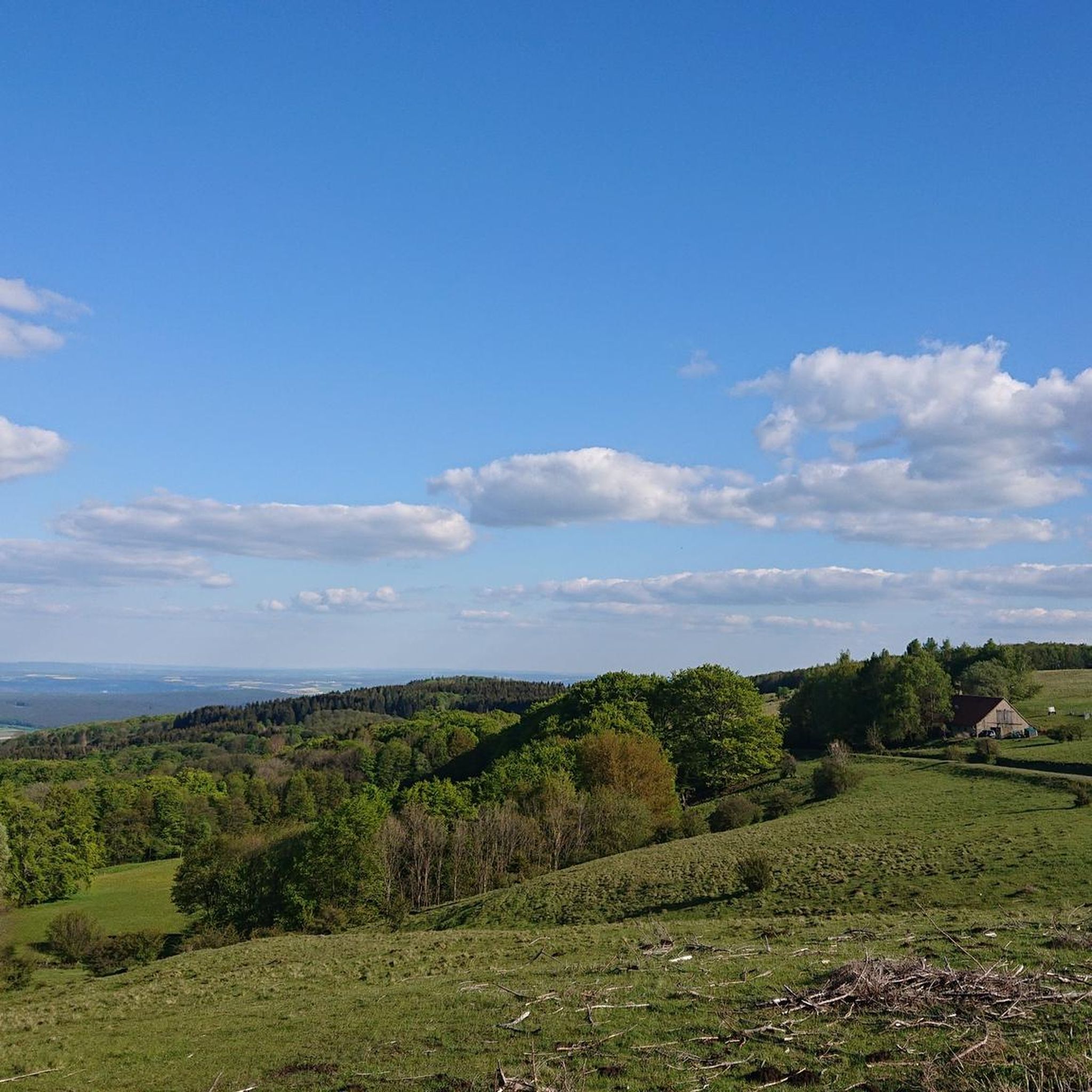
Road Cycling Routes around Oberelsbach
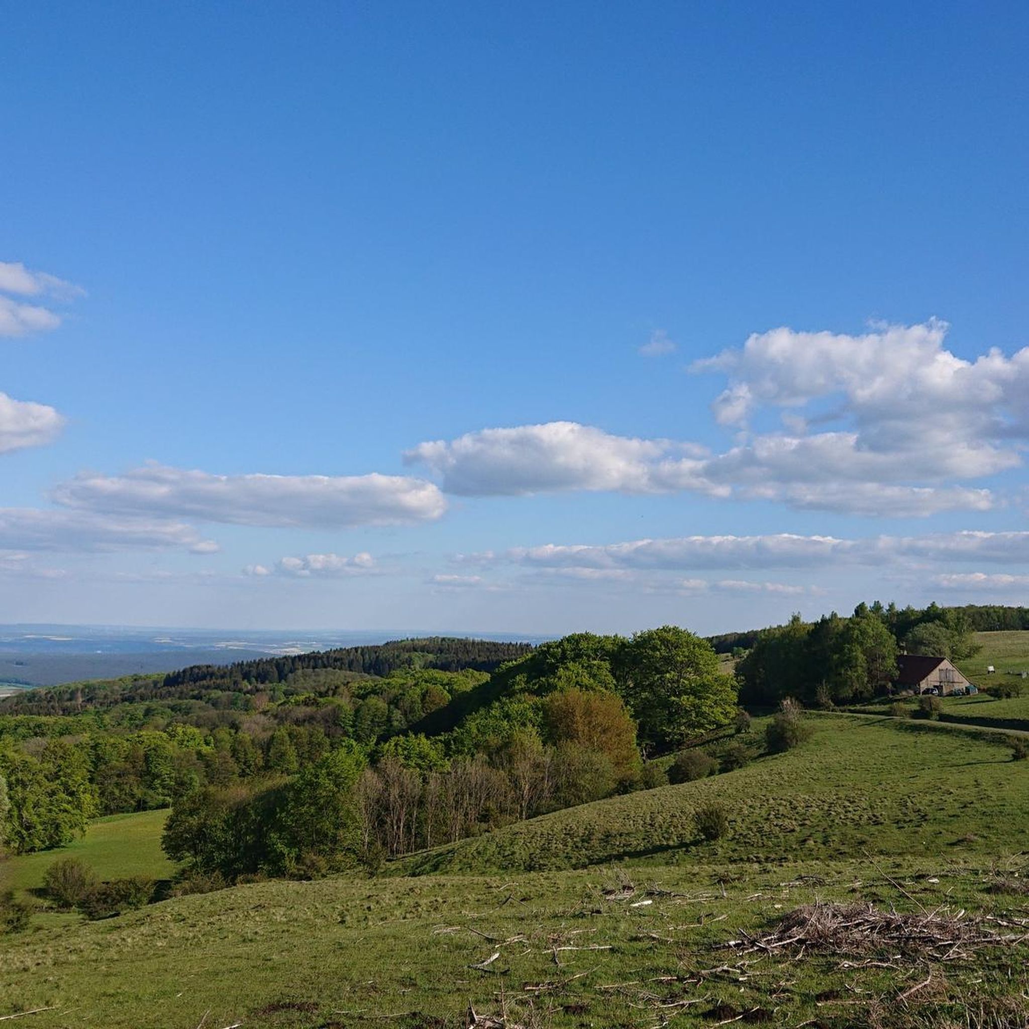
Running Trails around Oberelsbach
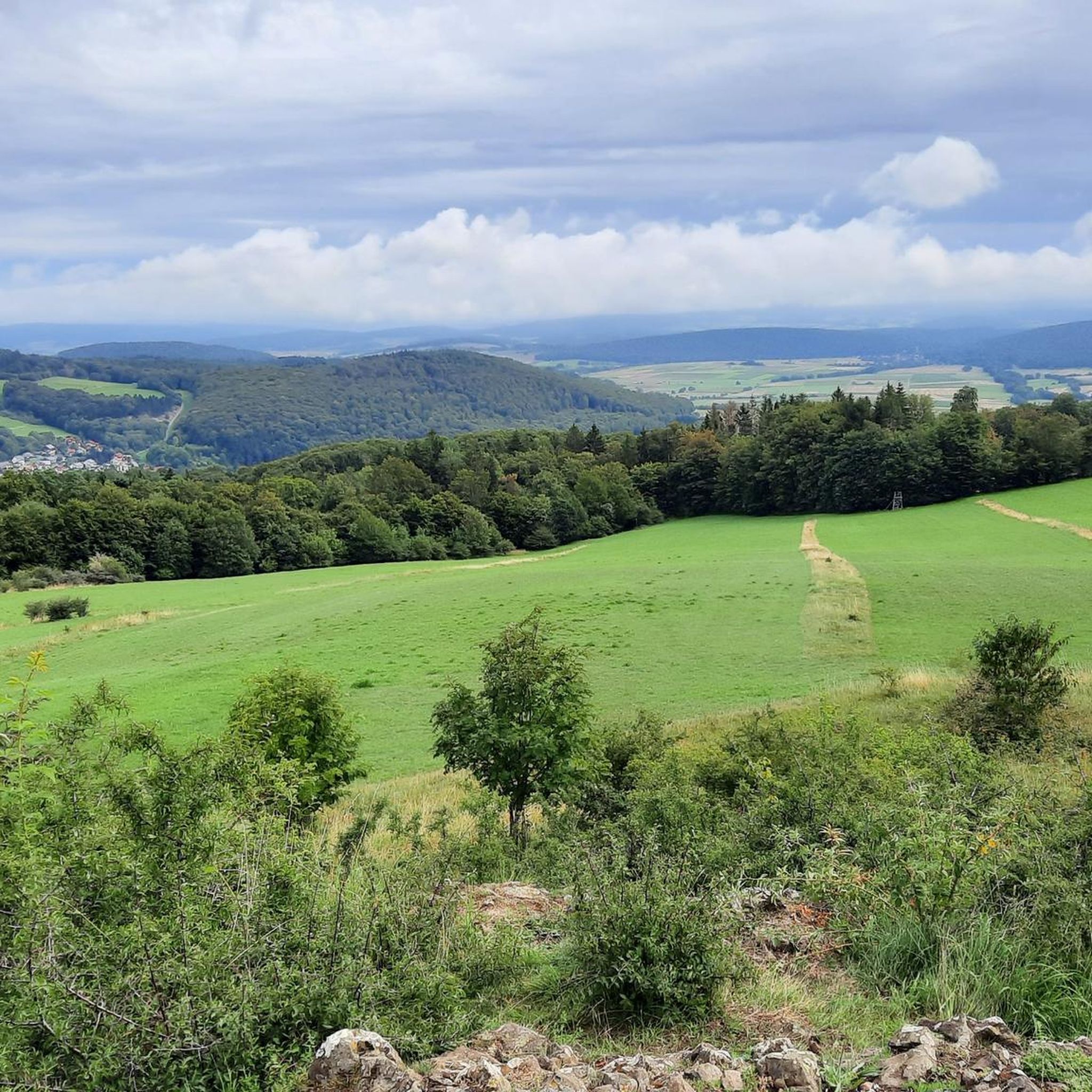
MTB Trails around Oberelsbach
Other adventures around Oberelsbach

Tips from the Community

At 950 meters, the Wasserkuppe is the highest mountain in Hesse and the symbol of the Rhön Mountains. Up here, you can feel the freedom, as the Wasserkuppe is considered the cradle of gliding – pilots have been taking to the skies here for over 100 years. But it's not just aviators who enjoy it: In summer, you can hike or cycle across vast plateaus with magnificent views, while in winter, ski lifts, cross-country ski trails, and toboggan runs beckon. Around the summit, you'll find the Aviation Memorial, the Gliding Museum, and numerous places to stop for refreshments. The Wasserkuppe is located in the heart of the Hessian Rhön Nature Park, which, with its open highlands, beech forests, and species-rich meadows, is a paradise for nature lovers. Here, you can explore the unique landscape on premium hiking trails like the Hochrhöner or on nature trails. The nature park also boasts star parks, rare animals like the red kite and the wildcat, and botanical treasures like gentian and orchids.
2
0

Beautiful monument on basalt… a great view in fine weather including.
13
0

Monument from another time. But it is impressively done, today it encourages climbing.
29
1

The memorial was erected on a volcanic chimney, which was formerly called Lerchen Hügel, later called "Loessl Steine". Carl Oskar Ursinus had designated this place for an annual commemoration, since Eugen von Loessl had started his last flight from here on August 9, 1920 during the first Rhön competition. On August 14, 1921, Wilhelm Leusch, the second person to die in gliding, also died at this point due to a surface failure due to a faulty design of his glider.
15
0

“Each of these crosses can tell its own story and what prompted people to erect “their” cross at this point. (...) These wayside crosses were erected as visible signs and attract the attention of many people. The cross is a symbol of life. It stands as a sign of our Christian hope and wants to direct our gaze to Jesus Christ, who has overcome death (...). The cross is part of our life as it was in the life of Jesus. So I wish that many people … visit the crosses, whether as places of stillness and breathing space before God, whether as places for community gatherings, prayer and praise to God.” (Text source: Dean Rainald M. Ollig in: "Crossroads... small sacred monuments as a sign of popular piety")
13
1

Nice path through the red moor. You can see the Heidelstein very nicely from the observation tower at the end
11
0

From the Kreuzberg there are good views: From its northern slope there is a view of the Black Mountains, the Dammersfeldkuppe (second highest mountain in the Rhön; with restricted area of the Wildflecken military training area), the upper Sinntal, the Wasserkuppe, the Langen Rhön, the Thuringian Forest and the Brendtal . When visibility is very good, the Taunus with the Großer Feldberg can be seen in the west. Then there is an impressive view of the southern foreland of the Hohe Rhön and all the way to Schweinfurt (Wiki) from the Blockmeer located east to south-east below the summit plateau.
11
1
Frequently Asked Questions
What are some of the most popular natural monuments to visit around Oberelsbach?
Visitors frequently enjoy the Pferdskopf Summit, known for its volcanic origin and expansive views. Another favorite is the Guckaisee, a scenic lake perfect for swimming or fishing. The Boardwalk Trail Through the Rotes Moor is also highly regarded for its educational nature trail and accessibility.
Are there any natural monuments suitable for families or those with limited mobility?
Yes, the Boardwalk Trail Through the Rotes Moor is an excellent choice. It features a well-maintained boardwalk that is suitable for wheelchair users and strollers, offering an informative and accessible way to experience the moorland ecosystem. The Guckaisee also offers a pleasant, accessible environment for relaxation.
What kind of unique geological features can I find in the natural monuments near Oberelsbach?
The region, being part of the Rhön, showcases its volcanic history through impressive geological formations. You can explore the picturesque Basaltsee and the imposing 'Steinernes Haus' (Stone House). Another striking example is the Basaltprismenwand am Gangolfsberg (Basalt Prism Wall at Gangolfsberg), which displays fascinating natural architecture formed by volcanic activity.
Where can I find the best viewpoints among the natural monuments?
For panoramic vistas, the Pferdskopf Summit offers great views in multiple directions. The Golgotha group (Three Crosses) on the Kreuzberg also provides a fantastic viewpoint, where you can even see the radar station at the Wasserkuppe. Additionally, the Boardwalk Trail Through the Rotes Moor includes a lookout tower with excellent views over the moorland.
What outdoor activities can I do near the natural monuments around Oberelsbach?
The area offers diverse outdoor activities. You can find numerous trails for hiking, mountain biking, and running. For instance, there are many mountain hikes, including routes to the Kreuzberg Summit. If you prefer cycling, explore the gravel biking routes, such as the Schwarzes Moor loop. There are also dedicated running trails like the one near the NABU House at the Red Moor.
Are there any historical or cultural landmarks associated with the natural monuments?
Yes, the Golgotha group (Three Crosses) on the Kreuzberg is a significant historical and religious site, featuring a Way of the Cross. Another notable landmark is the Wasserkuppe aviation memorial, built in memory of fallen pilots from World War I, offering a blend of history and a prominent viewpoint.
What kind of wildlife and plant species can I expect to see in the Rhön Biosphere Reserve?
The UNESCO Biosphere Reserve Rhön is a 'hotspot of biodiversity' and a 'Noah's Ark' for endangered species. You might encounter rare plant species like the globeflower and various orchids, alongside ancient beech forests and Nardus grasslands. The reserve provides habitats for animals such as the black grouse and wildcat, making it a rich environment for nature observation.
Is there parking available at the natural monuments?
Yes, for popular sites like the Guckaisee, parking is available nearby. For the Boardwalk Trail Through the Rotes Moor, there is a good entrance at the Moordorf parking lot, which also has the NABU house.
What is the best time of year to visit the natural monuments around Oberelsbach?
The Rhön region offers beauty year-round. Spring and summer are ideal for enjoying the lush Nardus grasslands and herb-rich mountain meadows, as well as for swimming at the Guckaisee. Autumn brings vibrant colors to the forests. While winter can offer unique snowy landscapes, some trails might be less accessible, as noted by visitors experiencing zero visibility at the Pferdskopf Summit during winter.
Are there any cafes or places to eat near the natural monuments?
Yes, you can find catering options near the Guckaisee. Additionally, at the parking lot for the Boardwalk Trail Through the Rotes Moor, there is the NABU house, which offers baked cakes, coffee, and small meals, typically open from 11:00 to 17:00.
How long does it take to hike some of the natural monuments?
Hiking times vary depending on the monument and chosen route. For example, a short but very steep path can take you to the Pferdskopf Summit from the Guckaisee. The boardwalk section of the Rotes Moor is about 800 meters long, while a circular route around the entire Red Moor can be around 19 kilometers, requiring sturdy shoes.
Most popular routes around Oberelsbach
Most popular attractions around Oberelsbach

Get inspired with the komoot mobile app


Explore more
Extend your search for the best caves by checking out these guides of the top ones around Oberelsbach:
