Top 6 Mountain Passes around Bönnigheim
Best mountain passes around Bönnigheim are found in a hilly landscape within the Stromberg-Heuchelberg Nature Park, part of the German administrative district of Ludwigsburg. This region, often called the "Land of 1000 Hills," offers elevated routes and scenic paths rather than high alpine passes. The town itself has an average elevation of 244 meters, with a maximum elevation of 425 meters in its municipal area. The area provides opportunities for exploring historic routes and natural beauty.
Best mountain passes around…
Last updated: July 8, 2026
Hill Pass "Hohe Reute"
Highlight • Mountain Pass
Translated by Google •
Tip by

Hohenhaslach–Güglingen Climb
Highlight (Segment) • Climb
Translated by Google •
Tip by

Sign up now to discover places like this
Get recommendations on the best single tracks, peaks, & plenty of other exciting outdoor places.
Sign up for free
Gündelbacher Steige hill pass
Highlight • Mountain Pass
Translated by Google •
Tip by
Kleingartacher Höhe hill pass
Highlight • Mountain Pass
Translated by Google •
Tip by

Start today with a free account
Your next adventure awaits.
Login or Signup
Popular around Bönnigheim
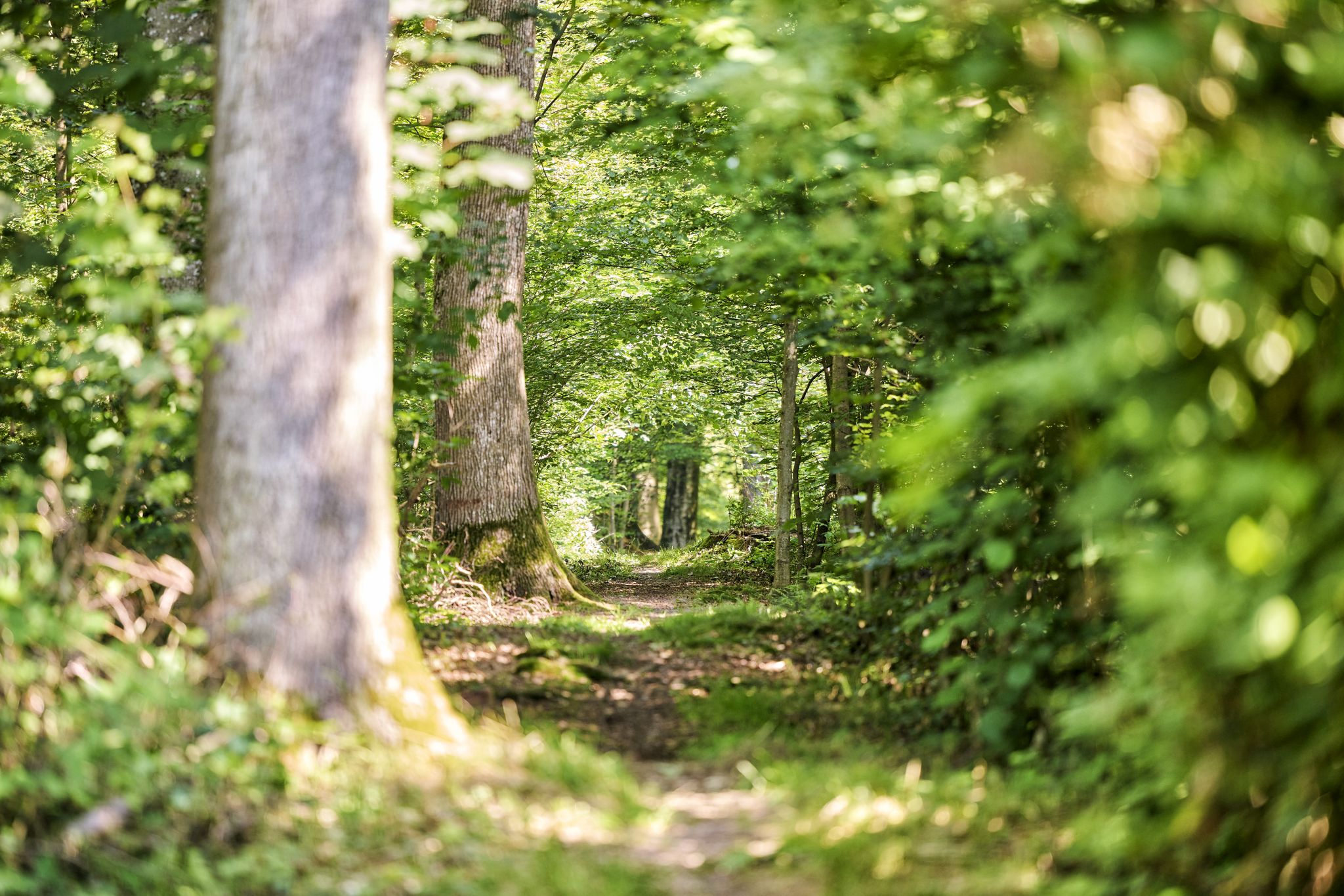
Trail running between woodlands & wine in the Land of 1000 Hills
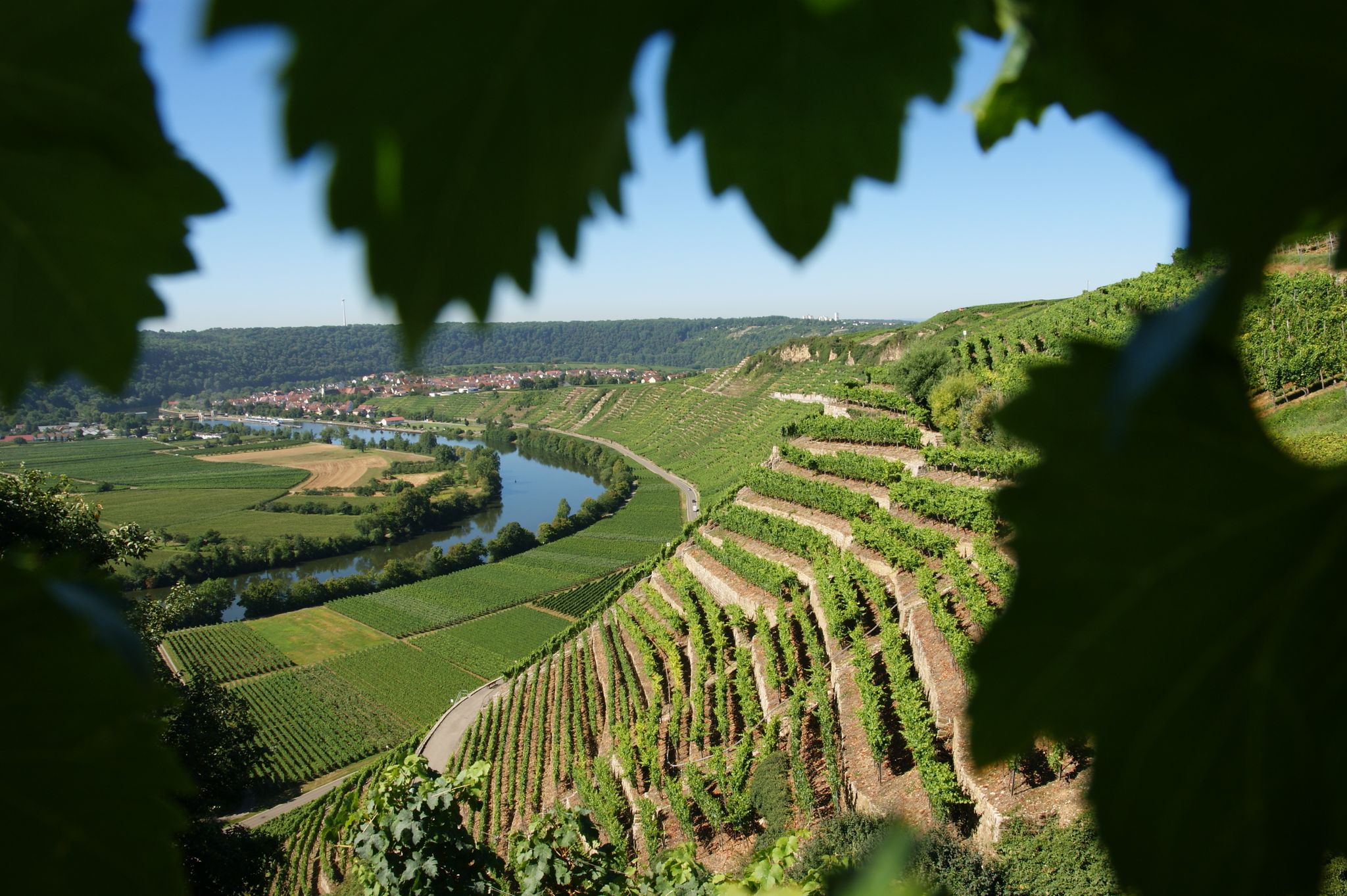
Where the wine grows in loops – hiking in the 3B-Land

Spring in the land of 1,000 hills – Kraichgau-Stromberg in Germany
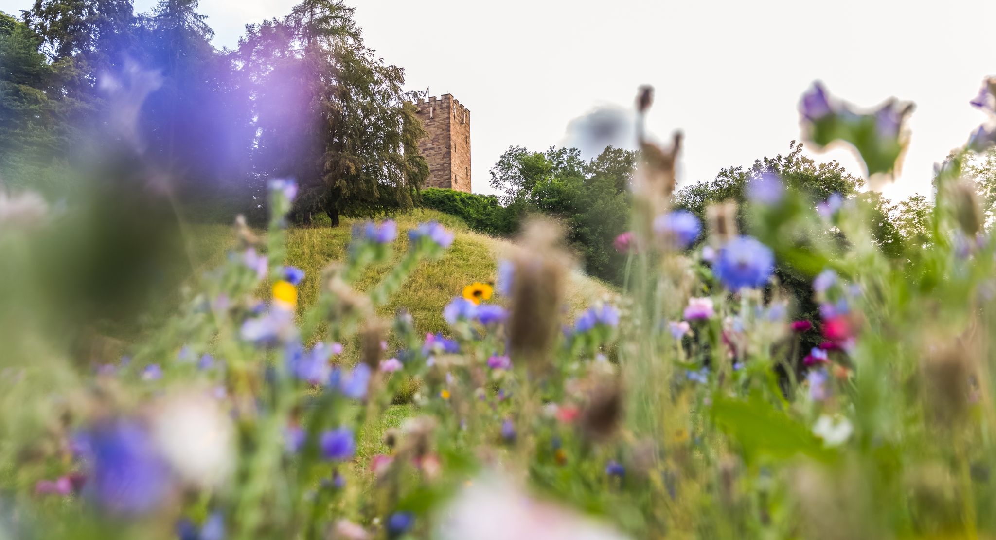
On foot in the nature park Stromberg-Heuchelberg
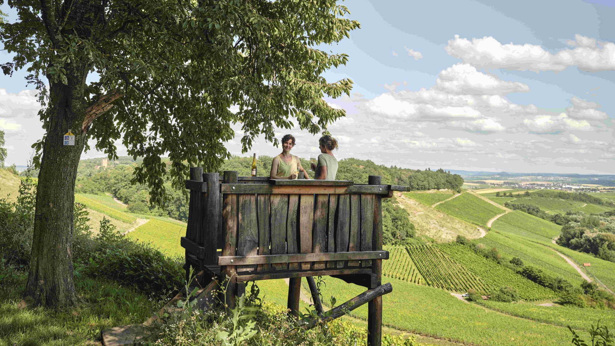
Genusswandern: Auf Wein(wander)wegen durch das Land der 1000 Hügel

Wander3Klänge: Einfach Los Wandern im Naturpark Stromberg-Heuchelberg

Zu Fuß durchs Land der 1000 Hügel
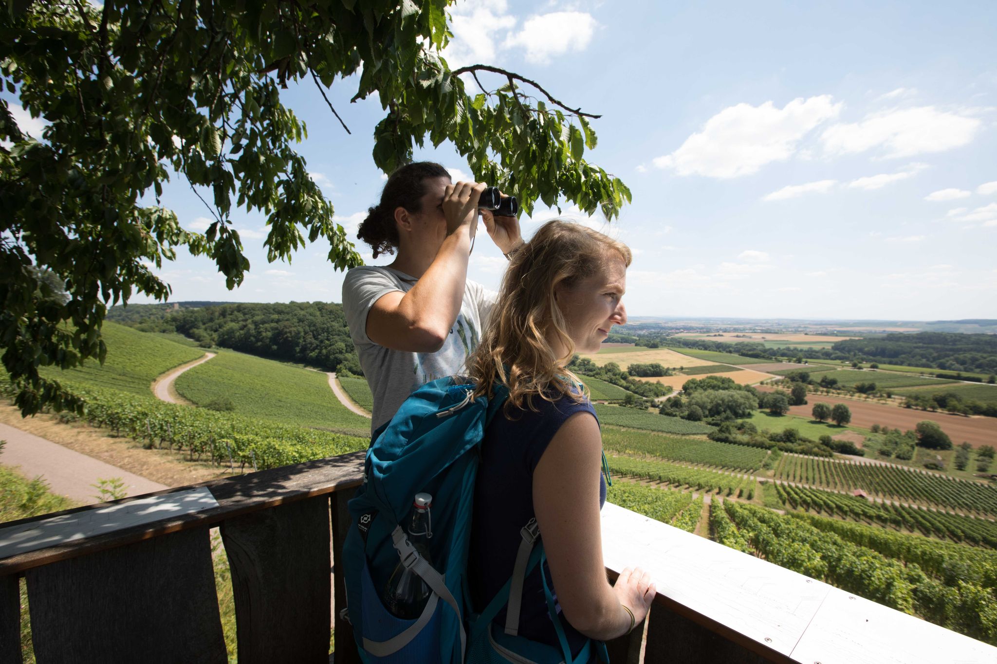
7 aussichtsreiche Wandertouren im Land der 1000 Hügel
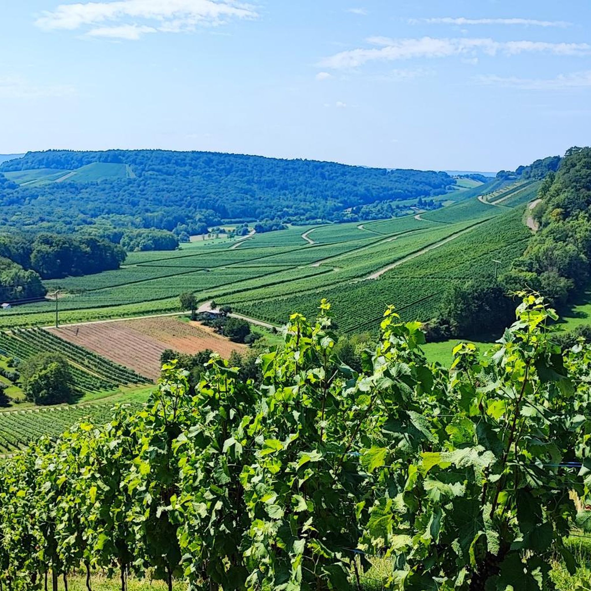
Hiking around Bönnigheim
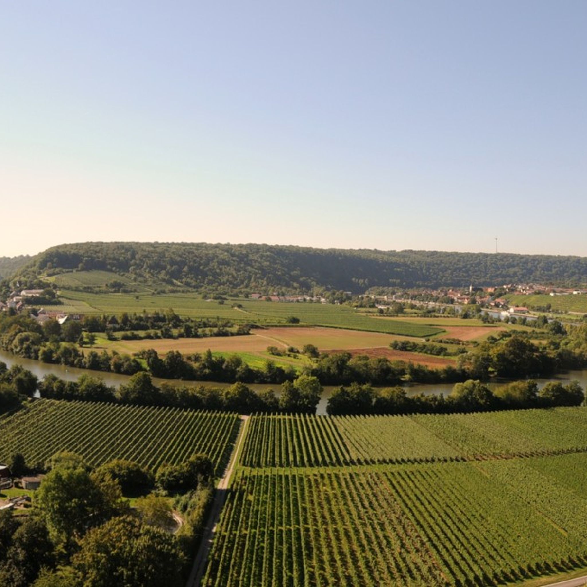
Road Cycling Routes around Bönnigheim
Other adventures around Bönnigheim

Tips from the Community

You have to drive a short distance on the country road
0
0

Very beautiful. Cycling is fun here.
2
0

The Kleingartacher Höhe is a pass at an altitude of 317 meters between Kleingartach and Stockheim. The Kleingartacher Höhe is also part of the "1000 Hills Passes" network. The wind blows quite strongly up here.
7
0

The Gündelbacher Steige pass, at an altitude of 375 meters, is located in the beautiful town of Vaihingen an der Enz, between Gündelbach and Häfnerhaslach. Take a selfie in front of the pass sign and upload it to the Wall of Fame (via the QR code on the pass sign or via the website www.kraichgau-stromberg.de/bewegen/radfahren/1000-huegel-paesse).
0
1

Great views and vineyards
1
0
Take a selfie of you and your team with the pass plate and upload it to the Wall of Fame at kraichgau-stromberg.de/bewegen/radfahr/1000-huegel-paesse or link the #1000hügelpasses on Instagram. We look forward to a colorful collection with your hill pass moments! :)
2
0
The pass at Heiligenbergsee, situated at an altitude of 375 meters, is located in the picturesque surroundings of Häfnerhaslach, a district of the town of Sachsenheim. Take a selfie in front of the pass sign and upload it to the Wall of Fame (via the QR code on the pass sign or via the website http://www.kraichgau-stromberg.de/bewegen/radfahren/1000-huegel-paesse).
1
1
You'll find several gentle mountain passes in the land of 1000 hills. One of these is the Kleingartacher Höhe, at 317 meters, in the beautiful town of Brackenheim. Take a selfie in front of the pass sign and upload it to the Wall of Fame (via the QR code on the pass sign or via the website www.kraichgau-stromberg.de/bewegen/radfahren/1000-huegel-paesse).
0
0
Frequently Asked Questions
What kind of elevated routes can I expect around Bönnigheim?
The Bönnigheim area, part of the Stromberg-Heuchelberg Nature Park, features a hilly landscape with elevated routes and scenic paths rather than high alpine mountain passes. You'll find historic routes, climbs through forests, and passes offering views over vineyards and the surrounding countryside. The region is often referred to as the "Land of 1000 Hills."
Are there any historically significant elevated paths in the region?
Yes, the Rennweg is a notable historical long-distance path that runs along the ridges of the Stromberg. It includes a deeply incised section known as the "Hohlweg" and was laid out by the Celts approximately 2500 years ago. Burg Rotenberg, a 13th-century castle, was built to protect this ancient passage.
Which mountain passes offer the best views?
The Kleingartacher Höhe hill pass, situated at 317 meters between Kleingartach and Stockheim, provides great views over the beautiful Stromberg-Heuchelberg nature park. Another pass, Gündelbacher Steige hill pass, also offers scenic vistas.
What are some popular mountain passes for cycling or hiking?
The Hill Pass "Hohe Reute" near Häfnerhaslach features a short but beautiful gravel path, popular with visitors. The Hohenhaslach–Güglingen Climb offers a route through a forest with some steeper passages, providing pleasant shade in summer.
Are there family-friendly routes or activities near the mountain passes?
While specific family-friendly passes aren't highlighted, the broader Stromberg-Heuchelberg Nature Park offers numerous scenic routes suitable for hiking and cycling. For easy hikes, you can explore routes like the "Krappenberg Hiking Car Park – Pfeiferhütte Barbecue Area loop from Freudental" or the "Frauenberg Monastery Ruins – View of Roter Berg loop from Bönnigheim," which are part of the Easy hikes around Bönnigheim guide.
What kind of natural features can I expect to see along these routes?
The routes around Bönnigheim traverse a landscape rich in natural beauty. You'll encounter wooded hills, picturesque vineyards, and forests. Many passes offer panoramic views of the surrounding countryside, especially within the Stromberg-Heuchelberg Nature Park.
What outdoor activities can I do near these mountain passes?
Beyond exploring the passes themselves, the region offers diverse outdoor activities. You can find numerous running trails, such as the "Hohenstein Pump Station – Millstream loop from Bönnigheim" from the Running Trails around Bönnigheim guide. Mountain biking is also popular, with routes like the "Wolfsklingenweg Forest Path – View from Weißer Steinbruch loop from Bönnigheim" available in the MTB Trails around Bönnigheim guide.
What do visitors enjoy most about the mountain passes around Bönnigheim?
Visitors appreciate the blend of history and nature, the pleasant shade offered by forest sections during climbs, and the rewarding views over the Stromberg-Heuchelberg nature park. The unique experience of traversing ancient paths like the Rennweg and the opportunity to take selfies at pass signs for the "1000 Hills Passes" network are also popular.
Is there a pass that is particularly good for a challenging climb?
The Hohenhaslach–Güglingen Climb is known for its beautiful route with some steeper passages, making it a good option for those seeking a more challenging ascent, especially for cyclists.
Are there any passes that are part of a larger network or challenge?
Yes, several passes in the region, including the Hill Pass "Hohe Reute" and Kleingartacher Höhe hill pass, are part of the "1000 Hills Passes" network. Visitors can take selfies at the pass signs and upload them to a Wall of Fame, adding a fun challenge to their exploration.
What is the highest elevation I can reach on a mountain pass near Bönnigheim?
While Bönnigheim itself has a maximum elevation of 425 meters in its municipal area, passes like the Hill Pass "Hohe Reute" and Gündelbacher Steige hill pass are situated at an altitude of 375 meters, offering significant elevated points within the hilly landscape.
Can I find routes with forest cover for shade during warmer months?
Absolutely. The Hohenhaslach–Güglingen Climb is particularly noted for having a lot of forest cover, providing pleasant shade during summer. Many other routes in the Stromberg-Heuchelberg Nature Park also wind through wooded areas.
Most popular routes around Bönnigheim
Most popular attractions around Bönnigheim

Get inspired with the komoot mobile app


Explore more
See even more epic mountain passes by checking out these guides around Bönnigheim:
