Top 20 Natural Monuments around Immerath
Natural monuments around Immerath showcase the distinctive volcanic landscape of the Eifel region. The Immerather Maar, a volcanic crater lake, is a prominent natural monument recognized as a nature reserve. This area features diverse habitats, including ramparts, slopes, and bodies of water. The landscape provides opportunities for exploring volcanic formations and observing local flora and fauna.
Best natural monuments around Immerath
- The most popular natural monuments is Calmont via ferrata, a climb that features narrow paths with views of…
Last updated: June 24, 2026
Calmont via ferrata
Highlight (Segment) • Climb
Translated by Google •
Tip by

Dronke Tower on the Mäuseberg
Highlight • Viewpoint
Translated by Google •
Tip by

Sign up now to discover places like this
Get recommendations on the best single tracks, peaks, & plenty of other exciting outdoor places.
Sign up for free
Schalkenmehrener Maar
Highlight • Lake
Translated by Google •
Tip by

Panoramic view of the Moselle bend below the Calmont summit
Highlight • Viewpoint
Translated by Google •
Tip by

View of the Weinfelder Maar (Totenmaar)
Highlight • Lake
Translated by Google •
Tip by

Sign up for free to discover even more natural monuments around Immerath.
Sign up for free
Already have an account?
Start today with a free account
Your next adventure awaits.
Login or Signup

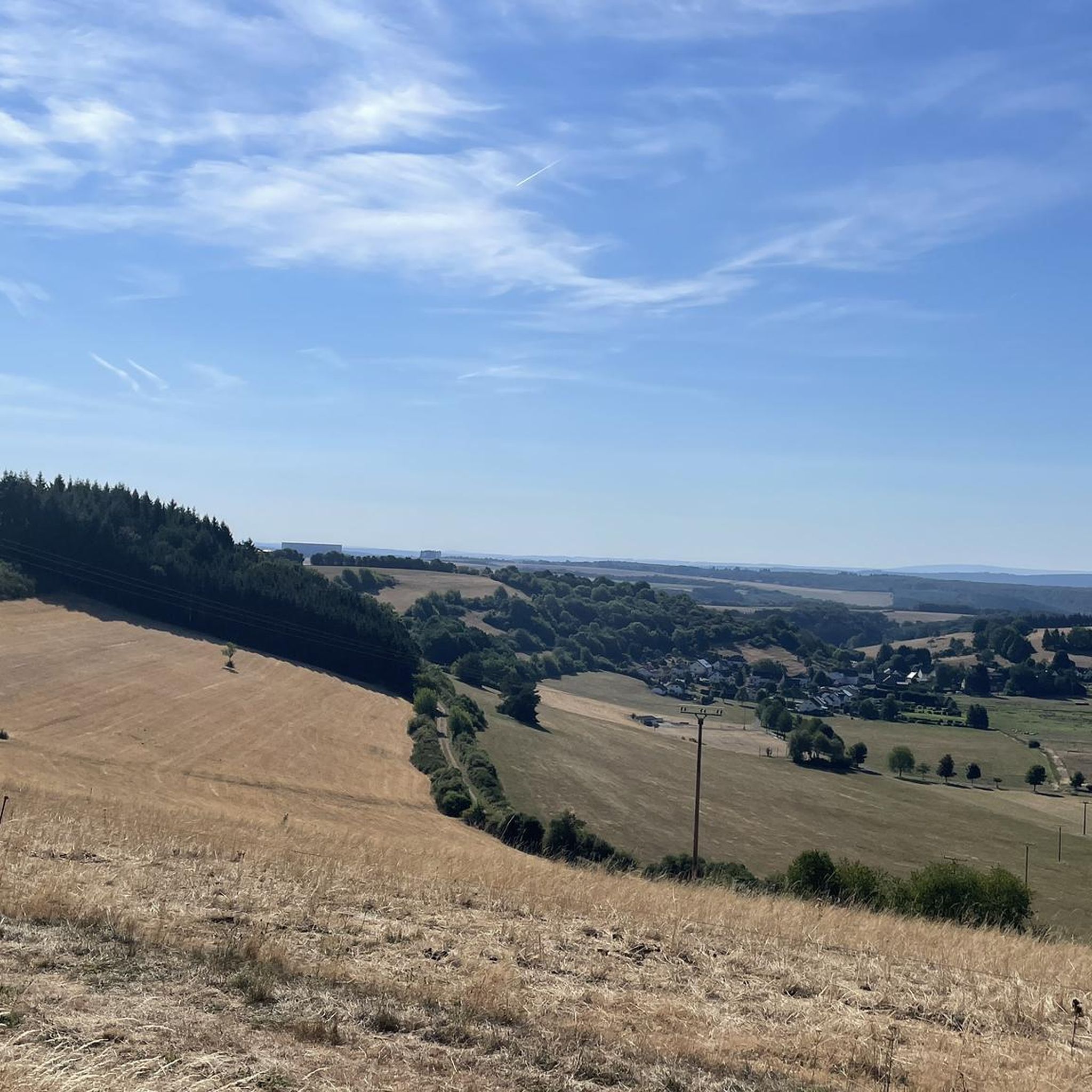
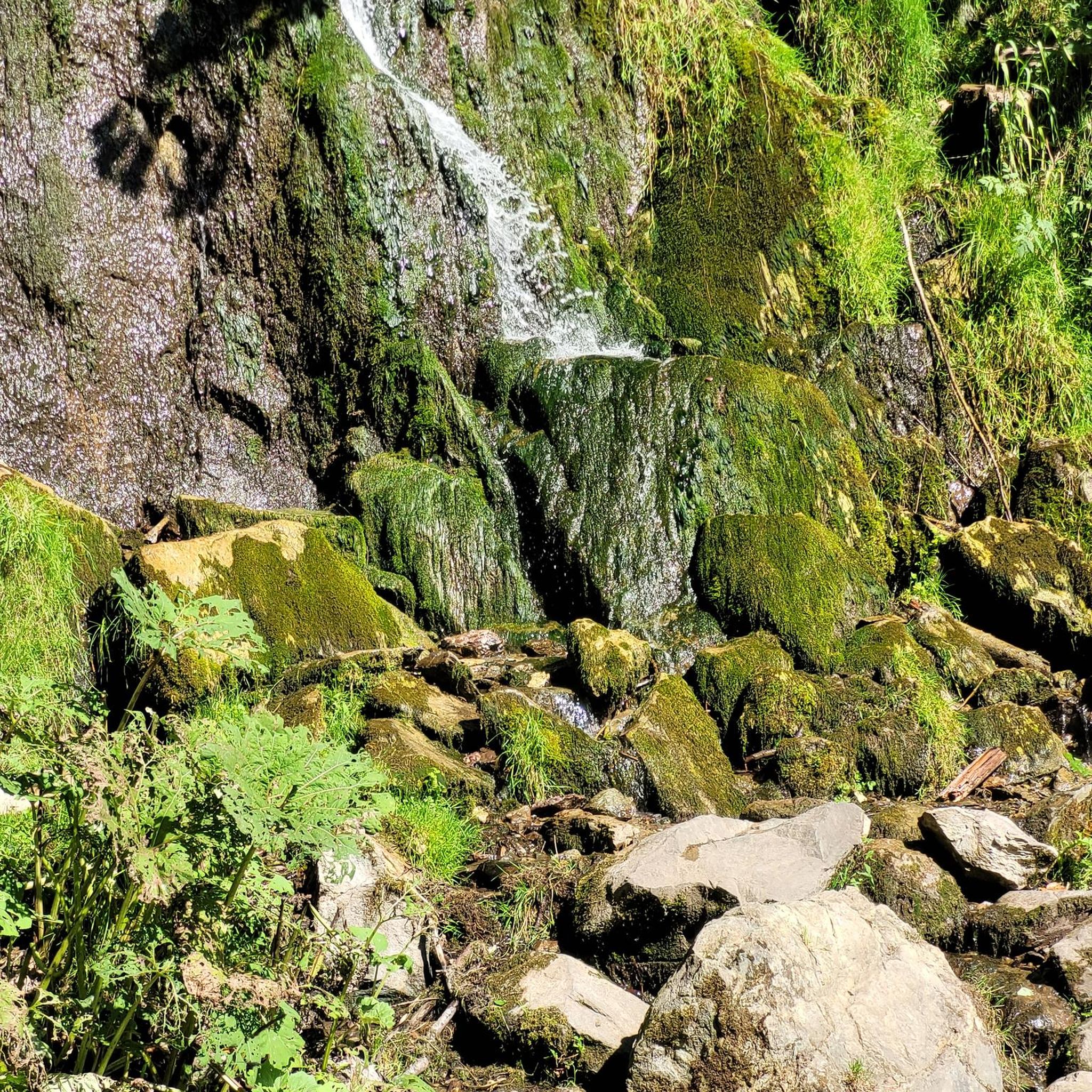
Other adventures around Immerath

Tips from the Community

The Daun Maars - 10,000-Year-Old Volcanic Lakes The Daun Maars were formed around 10,000 years ago from volcanic steam explosions. Hot lava rises from the Earth's interior and meets water, which suddenly evaporates. This blasts away entire mountain peaks. What remains is a deep crater that fills with water over the years and a wall of boulders surrounding the lake. The Daun Maars include the Gemünden Maar, the Weinfelder Maar, and the Schalkenmehrener Doppelmaar. One crater of the Schalkenmehren Maar has silted up over the millennia. The area is a nature reserve and a refuge for waterfowl and rare dragonfly species. Text / Source: deutschland-outdoor.der https://deutschland-outdoor.de/eifel/dauner-maare
13
0
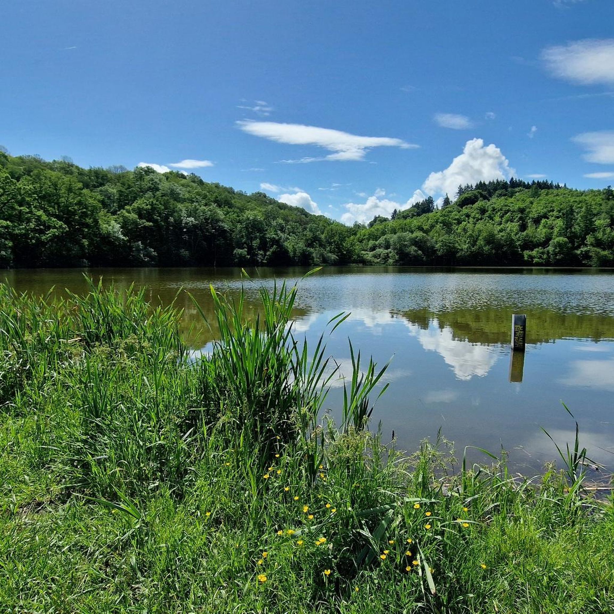
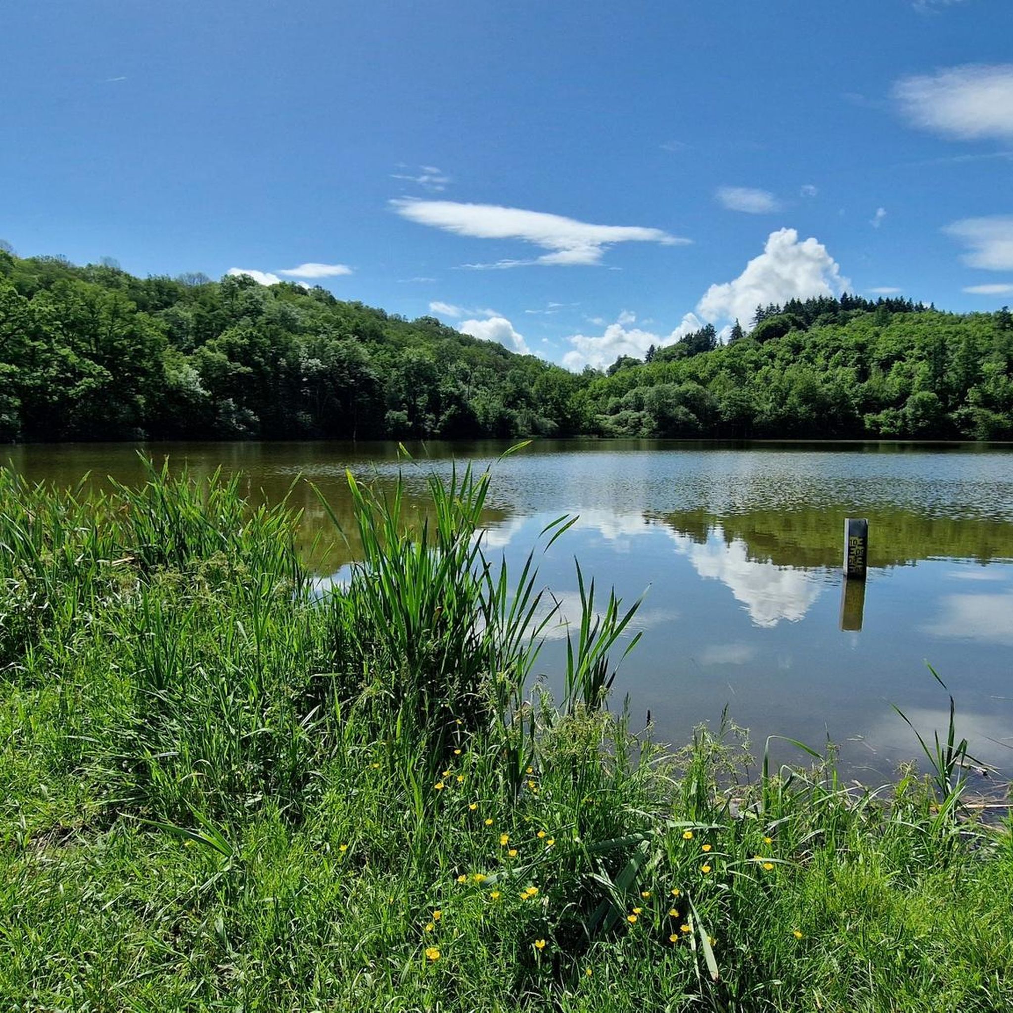
Weinfelder Maar The Weinfelder Maar, formed by volcanic activity around 20,000 to 30,000 years ago, is the highest of the three Daun Maars at 487 meters above sea level. The lake is 51 meters deep and has a diameter of 396 to 429 meters. An almost melancholic atmosphere surrounds the maar. Many legends surround the tranquil Eifel eye. A castle is said to have once stood on the site of the crater, where a count lived with his wife and only child. After returning home from a hunt, the castle had sunk as punishment for the woman's nastiness, and he found only a lake where a cradle miraculously floated his child safely to the shore. If you look at the dark surface of the water long enough, it is said that you can make out the outline of the castle. The German landscape painter Fritz von Wille was so fascinated by the Weinfelder Maar that he repeatedly immortalized it in his paintings. Among his favorite motifs was the small chapel on the north bank, dedicated to Saint Martin. It was once the parish church of the village of Weinfeld, which was ravaged by the plague in the 16th century. Anyone who rings the bells inside by pulling the ropes can make a wish. To this day, the associated cemetery is maintained and used by the local community of Schalkenmehren. This is also where its second name, Totenmaar, comes from. Donkeys and goats have been introduced to the Weinfelder Maar to regulate vegetation. The maar's unique flora and fauna are protected. Swimming and other water sports are prohibited in the Weinfelder Maar, but a nearly two-kilometer-long path makes it a wonderful place to explore on foot. Parking: Guests can park along the L64 either in the parking lot at the Weinfelder Maar or on the Maarsattel between the Weinfelder Maar and the Schalkenmehrener Maar. Text / Source: GesundLand Vulkaneifel GmbH, Leopoldstr. 9 A, 54550 Daun https://www.eifel.info/a-weinfelder-maar
13
0

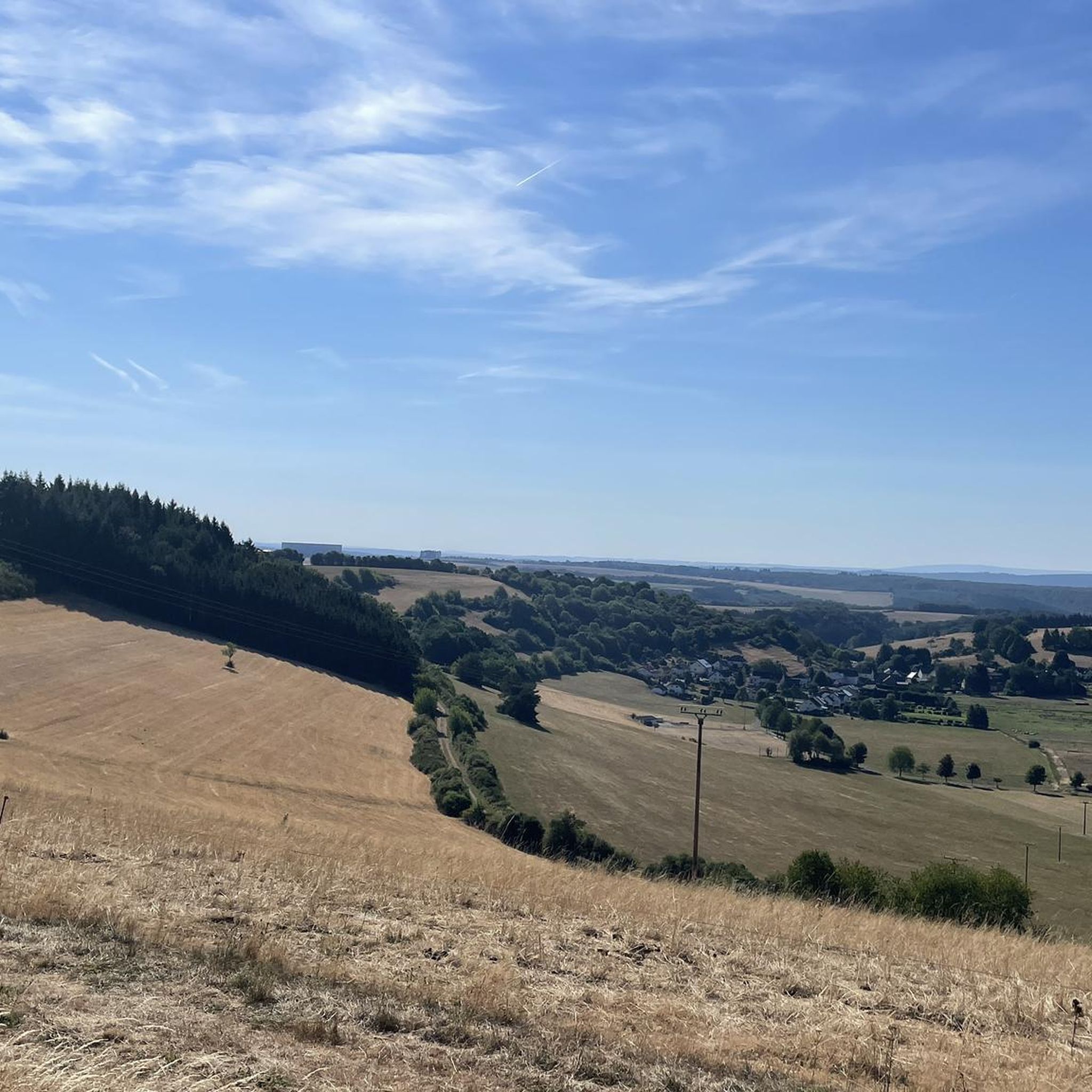
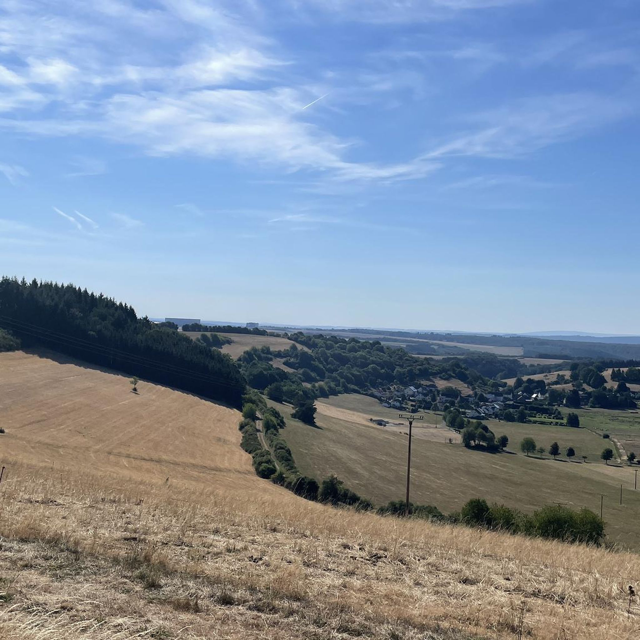
From this vantage point you have one of the best valley views of the Moselle loop.
75
0
The Calmont via ferrata is more of a mountain trail than a via ferrata. Passages of the "via ferrata" are made safer with handrails, ladders, step bars and stepping pins. However, hikers who are not sure-footed also have the option of bypassing the short section of the "via ferrata".
70
10

It is particularly beautiful in October when the leaves change color. Shortly after 10 a.m. we walked from Eidiger-Eller, first over the Todesangst and the Höhenweg, so we were above the Moselle loop at the right time. There is a rest area with a bench, from where we could watch how the fog revealed the colorful landscape.
12
0

Beautiful hiking tour with a view of the Moselle loop. 😍
12
0

You can also enjoy the view without hiking up. Drive up with the car. Drive quite far, then comes a gravel road, this approx. 2km comes a parking lot for hikers. From there it is not far to the summit cross and Vierseenblick. Together about 2km. Above are great wide hiking trails. Well suited for beginners. Then down to Bremm where the second vantage point is easily accessible on foot. So everyone has something.
13
0

Nice view with markers for orientation. The tower, which was built in 1902, is only 11m high, but stands on top of the 560m high Mauseberg and is thus 166m above the Gemünder Maar, guaranteeing a magnificent view of the surrounding area.
14
0
Frequently Asked Questions
What are the unique natural features of the Immerather Maar?
The Immerather Maar is a volcanic crater lake, part of the Eifel region's distinctive volcanic landscape. It's a nature reserve spanning 66 hectares, featuring ramparts, slopes, banks, and diverse bodies of water. You can explore a three-kilometer circular trail through copper beech forests, blackthorn, and gorse bushes, observing a rich variety of flora and fauna, including rare birds, frogs, dragonflies, and butterflies.
Are there family-friendly natural monuments around Immerath?
Yes, several natural monuments in the wider region are suitable for families. The Schalkenmehrener Maar offers a beautiful circular path and is known for its serene environment. Similarly, the Weinfelder Maar, also known as Totenmaar, provides a tranquil setting with a nearly two-kilometer-long path perfect for exploration on foot.
Can I bring my dog to the natural monuments near Immerath?
Many natural areas around Immerath are dog-friendly, especially for walks on trails. For instance, the circular trail around the Immerather Maar is generally suitable for dogs. When visiting nature reserves or specific highlights, always ensure your dog is kept on a leash to protect wildlife and respect other visitors. Check local signage for any specific restrictions.
What kind of wildlife can I observe at the Immerather Maar?
The Immerather Maar is a valuable retreat for wildlife observation due to its unique ecosystem. You can spot a variety of rare birds, frogs, dragonflies, and butterflies. The diverse habitats, including bodies of water and surrounding vegetation like willows, dog roses, cattails, and pond horsetail, support this rich biodiversity.
What hiking trails are available near the natural monuments around Immerath?
There are several hiking opportunities. You can explore the 'green side of the volcano' on a three-kilometer circular trail around the Immerather Maar. For more extensive hikes, consider routes like the 'Immerath Maar – Pulvermaar loop' or the 'HeimatSpur Wendelinusweg – GesundLand Vulkaneifel'. You can find more details and routes on the Hiking around Immerath guide page.
What is the best time to visit the natural monuments around Immerath?
The natural monuments around Immerath, particularly the Immerather Maar, are beautiful year-round. Spring and summer offer lush greenery and active wildlife, while autumn provides stunning foliage. Cooler days are recommended for more strenuous activities like the Calmont via ferrata, as the mountain can heat up significantly in the summer sun.
Are there any viewpoints offering panoramic views of the Eifel volcanic landscape?
Yes, the Dronke Tower on the Mäuseberg offers a wonderful panoramic view over the maars and the wide volcanic landscape of Eifel. From its platform, you can see the Gemündener Maar directly and the Weinfelder Maar from the opposite side. Another impressive spot is the Panoramic view of the Moselle bend below the Calmont summit, which provides one of the best valley views of the Moselle loop, showcasing the interplay of nature, culture, and landscape.
What are the geological features of the natural monuments in the Immerath area?
The Immerath area is characterized by its volcanic origins, being part of the Eifel region. The Immerather Maar itself is a volcanic crater lake. Other nearby maars like the Schalkenmehrener Maar and Weinfelder Maar were also formed by volcanic steam explosions, creating distinctive crater lakes and tuff walls. These features are remnants of the region's active geological past.
Where can I find parking near the Immerather Maar?
While specific parking details for the Immerather Maar are not provided, natural monuments in the Eifel region typically have designated parking areas nearby. For other maars like the Weinfelder Maar, parking is available along the L64, either at the Maar itself or on the Maarsattel between the Weinfelder and Schalkenmehrener Maars. It is advisable to check local signage upon arrival.
What other outdoor activities can I do near the natural monuments around Immerath?
Beyond hiking, the region offers various outdoor activities. You can find running trails, such as the 'Mürmesbach Moor – Schalkenmehrener Maar loop', and challenging MTB trails like the 'Kennfuss-Maisch Spring – Pulvermaar loop'. For more options, explore the Running Trails around Immerath and MTB Trails around Immerath guide pages.
Are there any challenging natural monuments or trails for experienced adventurers?
Yes, for those seeking a challenge, the Calmont via ferrata is a notable natural monument. It features narrow paths with handrails, ladders, and stepping pins, offering a climbing experience with stunning views of the Moselle. It requires good physical condition and a head for heights, though sections can be bypassed by less experienced hikers.
Most popular routes around Immerath
Most popular attractions around Immerath

Get inspired with the komoot mobile app


Explore more
Extend your search for the best caves by checking out these guides of the top ones around Immerath:
