Top 20 Natural Monuments around Braunweiler
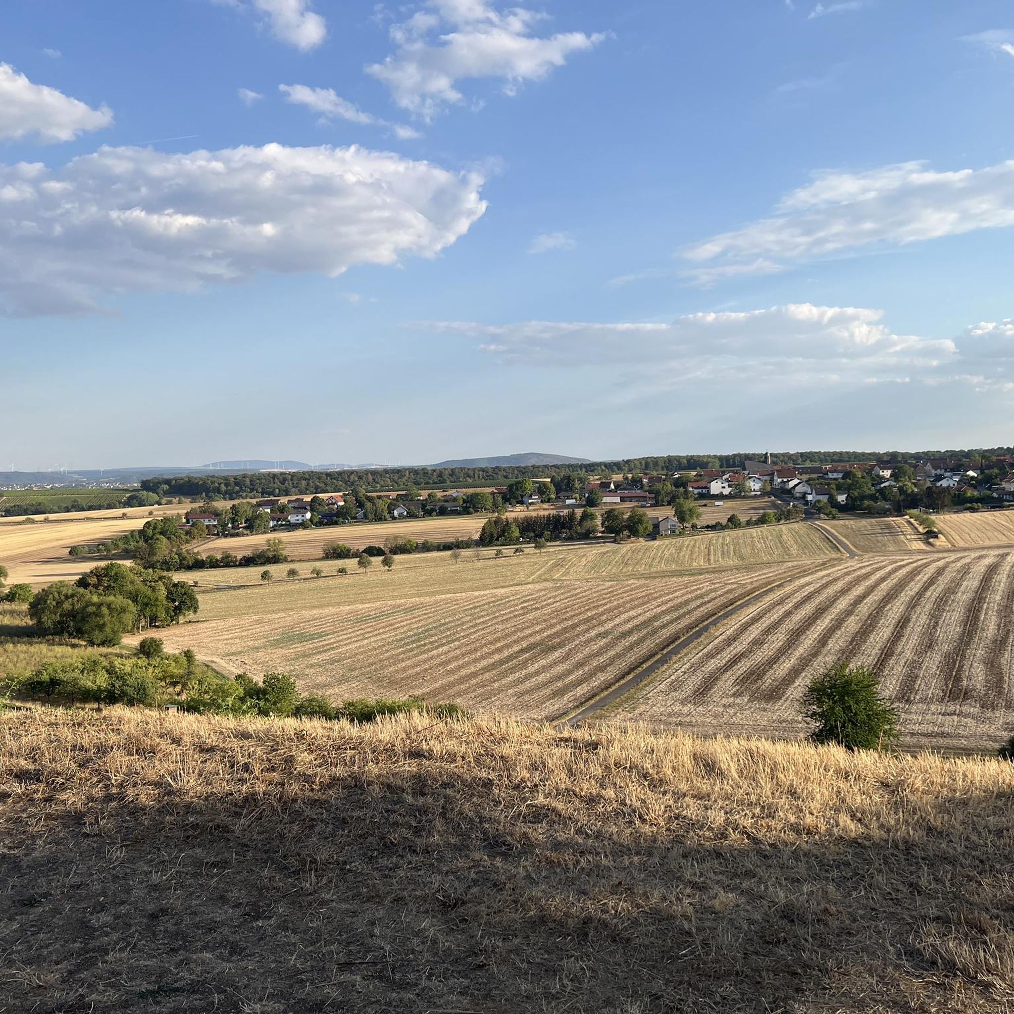
Best natural monuments around Braunweiler are situated on the edge of the Hunsrück Mountains in Rhineland-Palatinate, Germany. This region offers a natural landscape characterized by rolling hills, vineyards, and lush vegetation. It is a destination for nature lovers and active holidaymakers, with numerous hiking and cycling trails allowing exploration of local flora and fauna. The area provides various options from short walks to longer day trips.
Best natural monuments around Braunweiler
- The most popular natural monument is View of Bad…
Last updated: July 8, 2026
View of Bad Münster am Stein-Ebernburg from the Rotenfels
Highlight • Viewpoint
Translated by Google •
Tip by

Rotenfels Cliff
Highlight • Natural Monument
Translated by Google •
Tip by

Sign up now to discover places like this
Get recommendations on the best single tracks, peaks, & plenty of other exciting outdoor places.
Sign up for free
Silver Lake (Lemberg Nature Reserve)
Highlight • Lake
Translated by Google •
Tip by

Rock Hermitage Bretzenheim
Highlight • Historical Site
completely in the rock carved place of worship, only Felseneremitage north of the alps
Translated by Google •
Tip by

Elisabethenwehr on the Nahe
Highlight • Structure
Translated by Google •
Tip by

Sign up for free to discover even more natural monuments around Braunweiler.
Sign up for free
Already have an account?
Start today with a free account
Your next adventure awaits.
Login or Signup

Tips from the Community

You don't see a wall like this very often in flat country
7
0

The Elisabethenwehr was impassable for aquatic fauna until 2009 and, in the course of several construction measures, was redesigned into a "rough ramp", whereby, for example, small steps were built with the help of large boulders, onto which small rocks and pebbles were then placed as a covering. For migratory fish (🐟!), "rough channels" were built, i.e. water-covered channels in the weir, within which the fish can pass the weir. Since then, with a lot of patience, you can also watch the resident dice snake hunting there. The whole thing was one of the many measures for the implementation of the EU Water Framework Directive and thus also significantly funded by the EU. Source: "LIVING WATERS IN RHINELAND-PALATINATE - An interim assessment of the implementation of the Water Framework Directive"
3
0

Bad Kreuznach, the Nahe (110 m above sea level); Nahe in the foreground and bank vegetation on the right in the nature reserve „Kurpark Bad Kreuznach“; the visible riffle has replaced the former Elisabethenwehr since 2009. https://de.m.wikipedia.org/wiki/Datei:Bad_Kreuznach,_die_Nahe.JPG
3
2

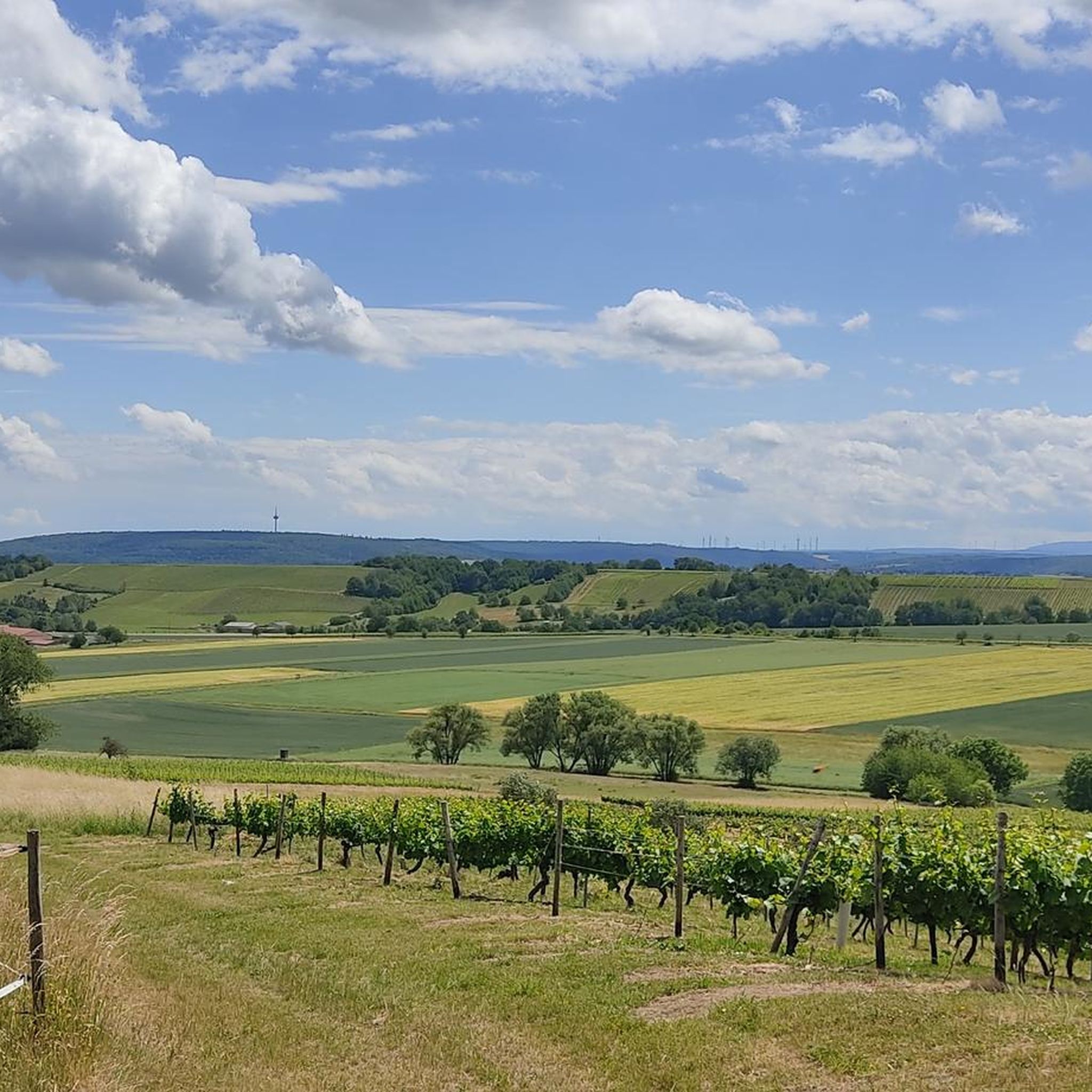
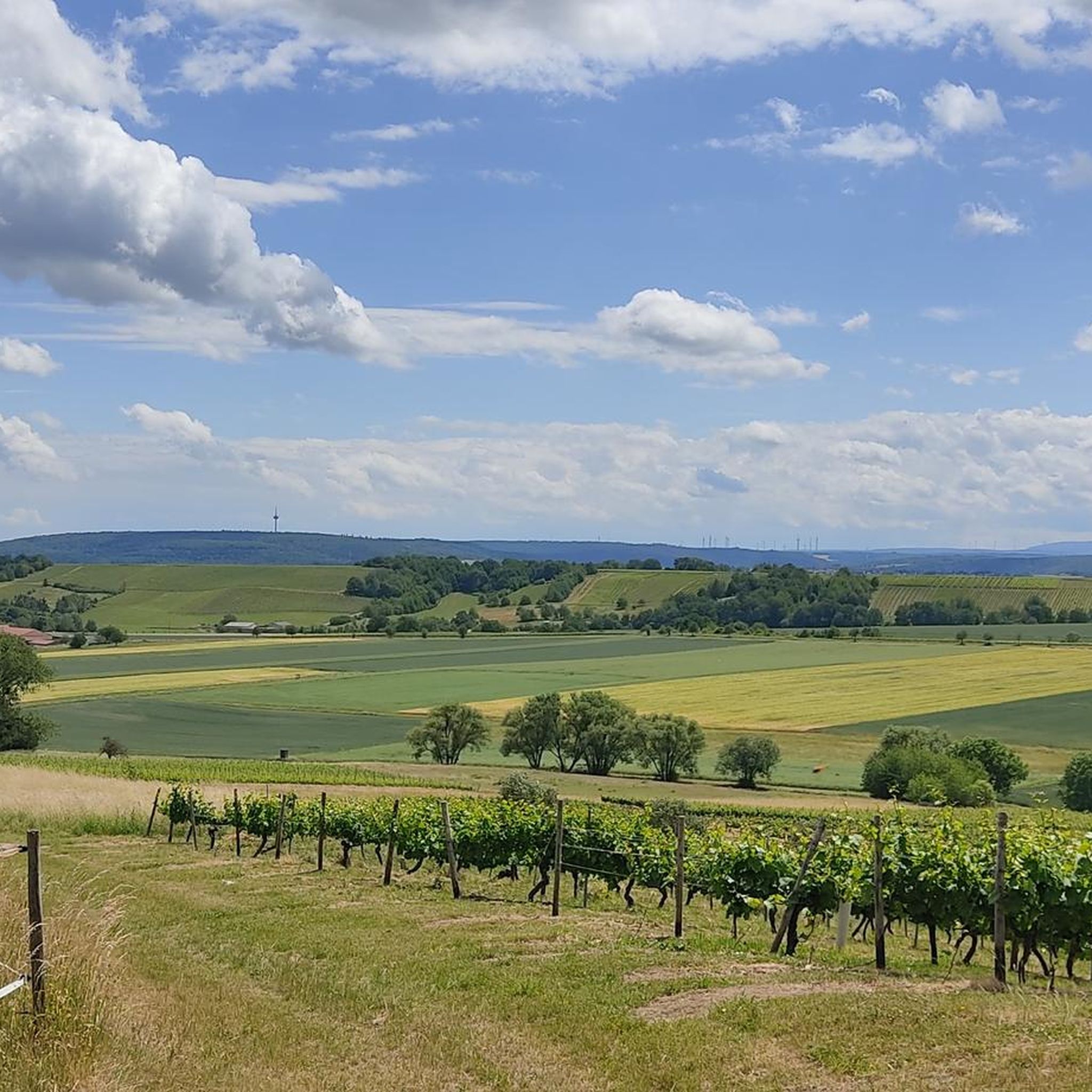
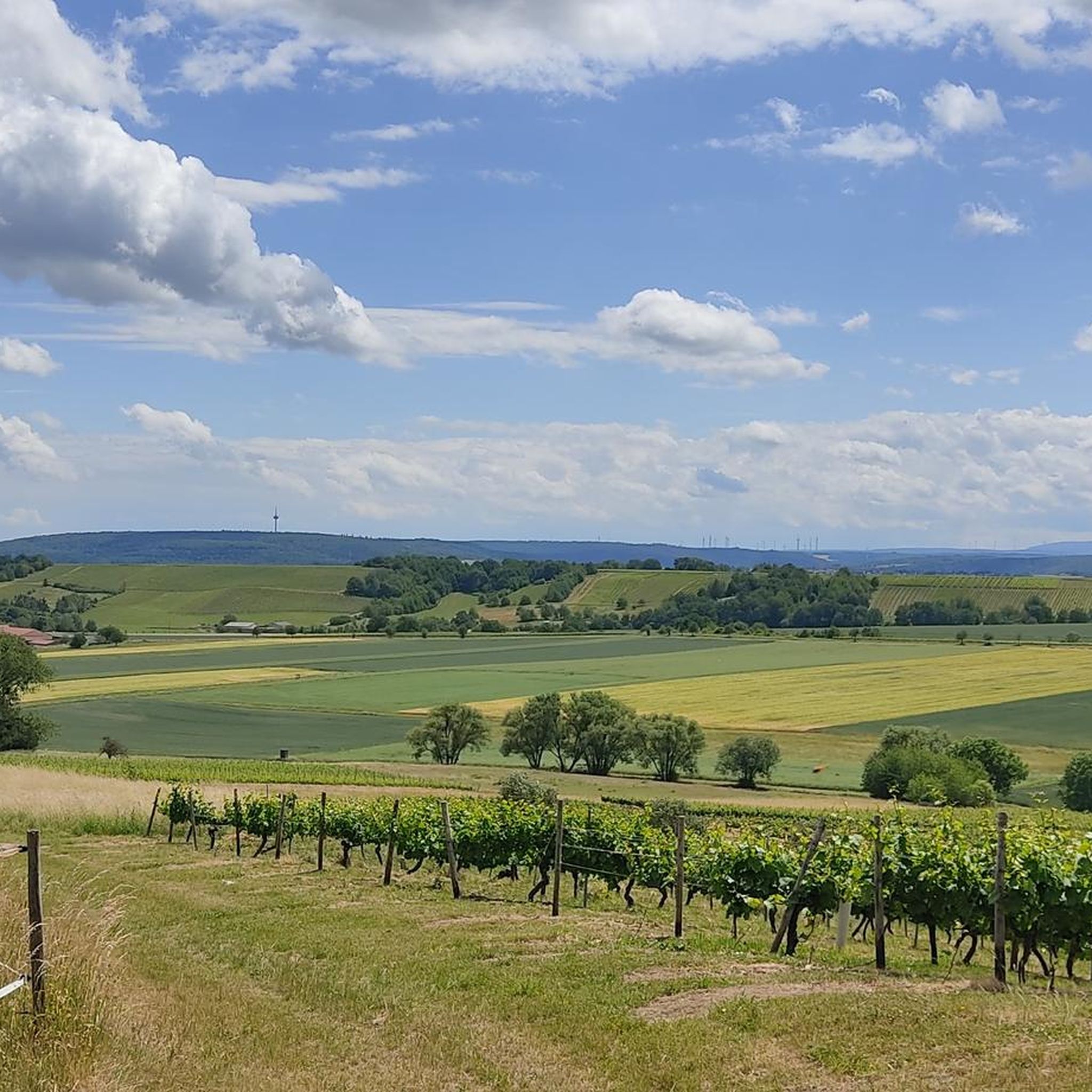
The weir, the nearby river and the view of the surrounding hills offer a wonderful view, especially when the sun is setting.
7
0

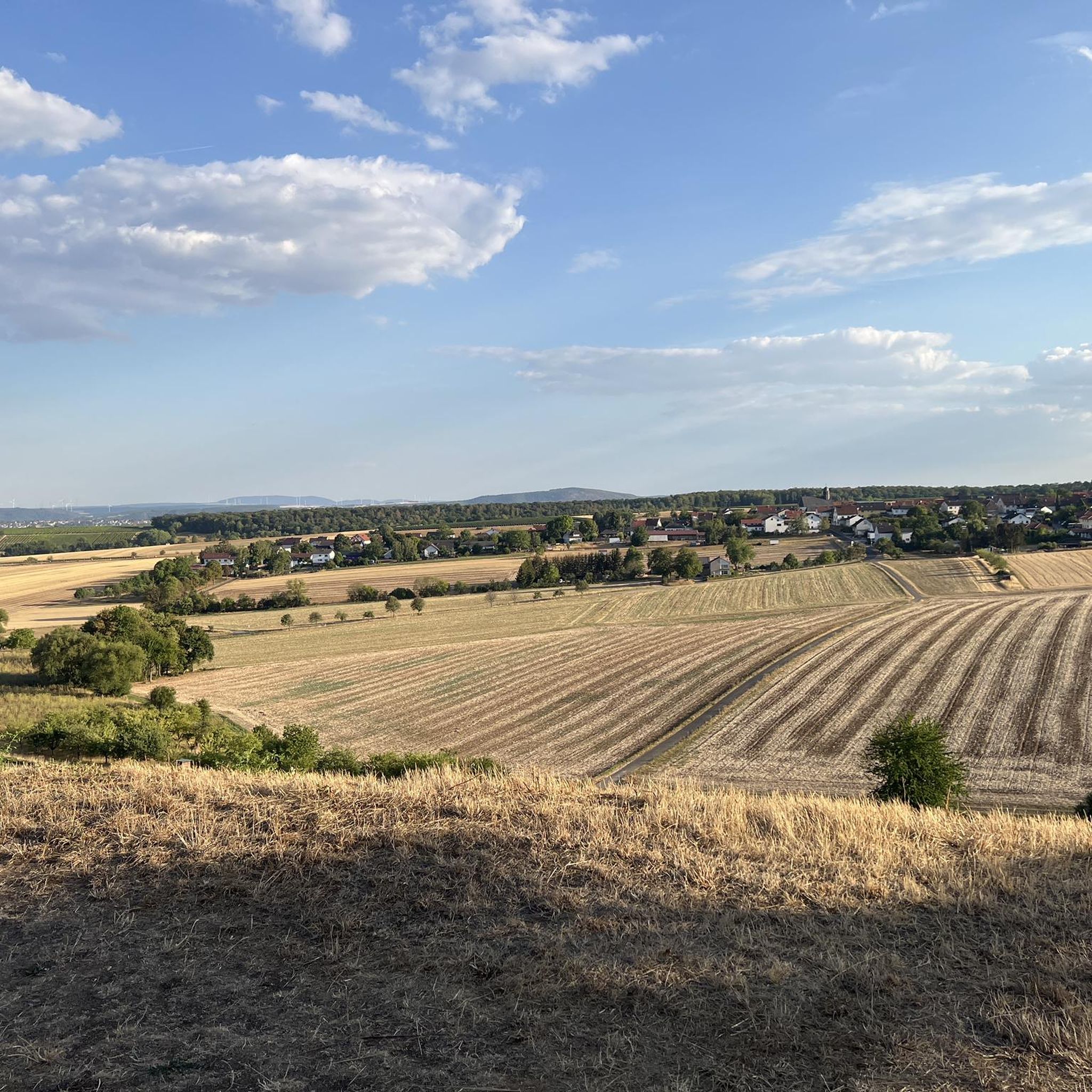
It is excellent for hiking along the Nahe. This is rewarded with magnificent views. Fits.
5
2

A beautiful spot with rippling water
12
1

A great mountain lake that you can easily walk around. There is a great bench to rest on and enough space around it for a picnic blanket.
7
0

The Elisabethenwehr in the Nahe forms the southern border of the nature reserve. In 2009, the old weir was redesigned into a natural invert, taking into account the dice snake population that was particularly well established there.
11
0
Frequently Asked Questions
What unique natural features can I explore around Braunweiler?
The region around Braunweiler offers diverse natural features. You can experience the impressive Rotenfels Cliff, which is the highest rock face between the Alps and Scandinavia, known for its volcanic origin and panoramic views. Another serene spot is the Silver Lake (Lemberg Nature Reserve), nestled in a basin and formed due to mercury mining.
Are there any historical natural monuments in the region?
Yes, the Rock Hermitage Bretzenheim is a significant historical site and natural monument. This unique place of worship is carved completely into the rock, making it the only rock monastery north of the Alps. It has a rich history, potentially dating back to prehistoric times as a pagan site and later used as a Mithraeum in Roman times before its Christian rededication.
What kind of views can I expect from the natural monuments?
You can expect breathtaking panoramic views. The View of Bad Münster am Stein-Ebernburg from the Rotenfels offers an ingenious dreamlike vista from the highest rock face between the Alps and Scandinavia. Additionally, the View of the Nahe Valley from Lemberghütte Observation Platform provides one of the best views over the Nahe valley from a well-secured observation deck.
What makes the Rotenfels area special?
The Rotenfels is special due to its geological significance as the highest rock face between the Alps and Scandinavia, formed by volcanic activity. It's a popular destination for climbers and a crucial habitat for diverse plants and animals, including birds of prey. The area also offers stunning panoramic views, such as the View of Bad Münster am Stein-Ebernburg from the Rotenfels, and features well-developed footpaths.
Are there family-friendly natural monuments to visit?
Yes, the Silver Lake (Lemberg Nature Reserve) is considered family-friendly. It's a quiet spot nestled in a basin, perfect for relaxation and taking a break. The View of the Nahe Valley from Lemberghütte Observation Platform is also family-friendly, featuring a well-secured observation deck with benches and information boards.
What is the best time of year to visit the natural monuments around Braunweiler?
The region's natural monuments, characterized by rolling hills, vineyards, and lush vegetation, are beautiful throughout much of the year. Spring and autumn offer pleasant temperatures for hiking and enjoying the changing landscapes. Summer is also ideal for outdoor activities, while winter walks can provide a unique perspective, especially if you're prepared for cooler weather.
Are there easy walking routes among the natural monuments?
Yes, the area offers various options for different fitness levels. The footpaths on the Rotenfels, for example, are well-developed and secured. Many trails, including the Braunweiler Nature Trail, pass through forest paths and vineyards, offering unique views. You can find easy hiking routes around Braunweiler, such as the 'St. Aegidius Catholic Church – Hunting lodge Sommerloch loop from Sommerloch' or 'Wooden Swing With Village View – View of Braunweiler loop from Sankt Katharinen', which are typically around 6 km. For more options, explore the hiking guide for Braunweiler.
How can I get to the natural monuments around Braunweiler?
Access to the natural monuments is generally good. Many areas have parking facilities nearby. For instance, the Silver Lake is just a few hundred meters from a parking lot. Public transport options may vary, so it's advisable to check local schedules for buses or trains connecting to the smaller towns and villages near the monuments. The region is well-suited for exploration by car, bicycle, or on foot.
What outdoor activities are available near the natural monuments?
Beyond visiting the monuments themselves, the Braunweiler region is excellent for various outdoor activities. You can find numerous hiking trails, from short walks to longer day trips, and cycling routes through vineyards and forests. Mountain biking is also popular. For detailed routes, check out the hiking guide, cycling guide, and MTB trails guide for Braunweiler.
Where can I find cafes or places to eat near the natural monuments?
While specific cafes might not be directly adjacent to every natural monument, the surrounding towns and villages like Braunweiler, Bad Münster am Stein-Ebernburg, and Bad Kreuznach offer various options for dining and refreshments. Many hiking and cycling routes pass through or near these communities, providing opportunities to stop for a meal or a drink. It's a good idea to plan your route to include stops in these areas.
Are there any natural monuments related to geology or mining history?
Yes, the Rotenfels Cliff is a prime example of geological significance, being of volcanic origin. The Silver Lake (Lemberg Nature Reserve) also has a connection to mining history, as it owes its origin and name to mercury mining in Lemberg.
What do visitors enjoy most about the natural monuments around Braunweiler?
Visitors particularly enjoy the stunning panoramic views, such as those from the Rotenfels, and the tranquility of spots like the Silver Lake. The well-developed and secured footpaths make exploration accessible, and the unique geological features and historical sites like the Rock Hermitage Bretzenheim add to the appeal. The komoot community has shared over 1500 photos and given more than 2100 upvotes, highlighting the region's beauty and diverse attractions.
Most popular routes around Braunweiler
Most popular attractions around Braunweiler

Get inspired with the komoot mobile app


Explore more
Extend your search for the best caves by checking out these guides of the top ones around Braunweiler:
