Attractions and Places To See around Pitt Lake - Top 5
Best attractions and places to see around Pitt Lake include a diverse range of natural features and recreational opportunities. Pitt Lake is a large tidal lake situated within a glacial valley in the Pacific Ranges of the Coast Mountains, known for its unique ecosystem and over 50 km of shoreline. The area is part of the unceded territory of the Katzie First Nation, with historical and cultural significance. It offers rugged terrain, extensive marshlands, and surrounding forests.
Best attractions and places to see around Pitt Lake
- The most popular attractions is Pitt River Bridge, a bridge that spans the Pitt River between Port Coquitlam and Pitt Meadows. This cable-stayed bridge is a recognizable structure in the broader region.
- Another must-see spot is Pitt Bridge to Airport route, a cycle way. This route provides a rural connection to the airport on quiet country roads, with options for asphalt or dyke gravel.
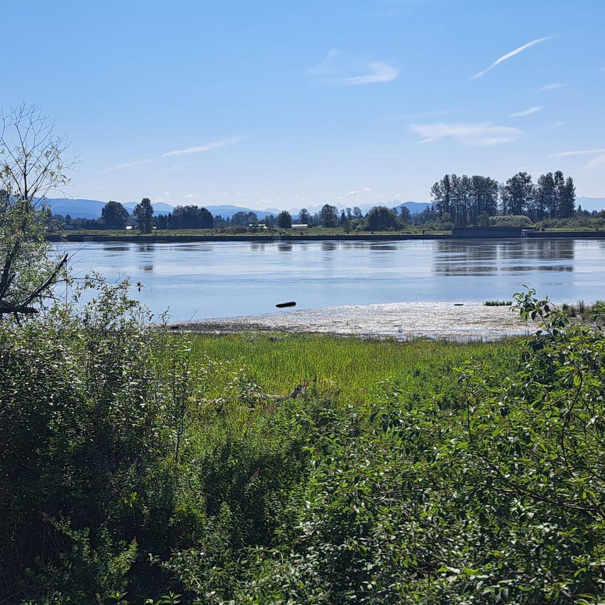
- Visitors also love Pitt River Regional Greenway, a trail that follows the Fraser and Pitt Rivers. This flat, easy route offers long, uninterrupted views of the river and surrounding mountains.
- Pitt Lake is known for its bridges, cycle ways, and trails. The region offers a variety of attractions to see and explore, including natural landscapes and recreational paths.
- The attractions around Pitt Lake are appreciated by the komoot community, with 6 highlights and 14 photos shared by visitors.
Last updated: August 29, 2026
Pitt River Bridge
Highlight • Bridge
Tip by

Pitt Bridge to Airport route
Highlight (Segment) • Cycleway
Tip by

Sign up now to discover places like this
Get recommendations on the best single tracks, peaks, & plenty of other exciting outdoor places.
Sign up for free
Traboulay PoCo Trail
Highlight (Segment) • Trail
portcoquitlam.ca/recreation-parks/parks-trails/traboulay-poco-trail
Tip by

Pitt River Regional Greenway
Highlight (Segment) • Trail
Tip by

Pitt River
Highlight • River
Tip by

Sign up for free to discover even more attractions around Pitt Lake.
Sign up for free
Already have an account?
Start today with a free account
Your next adventure awaits.
Login or Signup

Tips from the Community

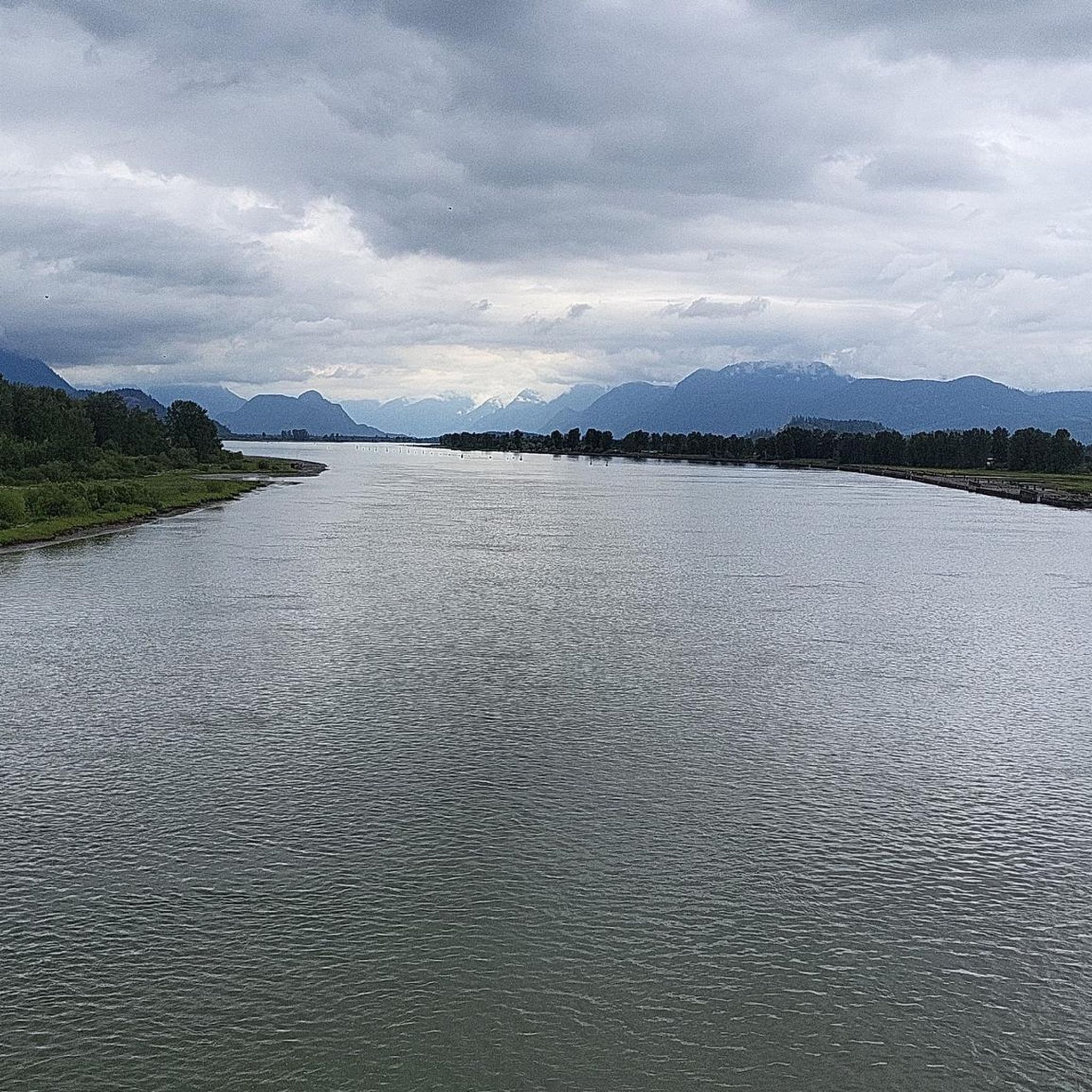
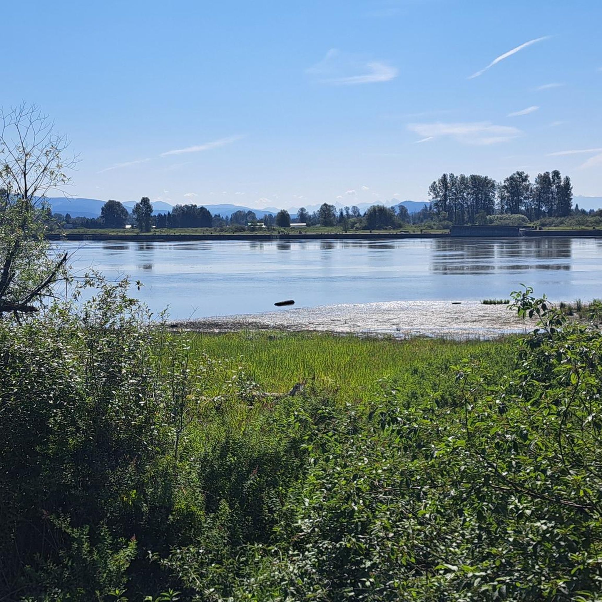
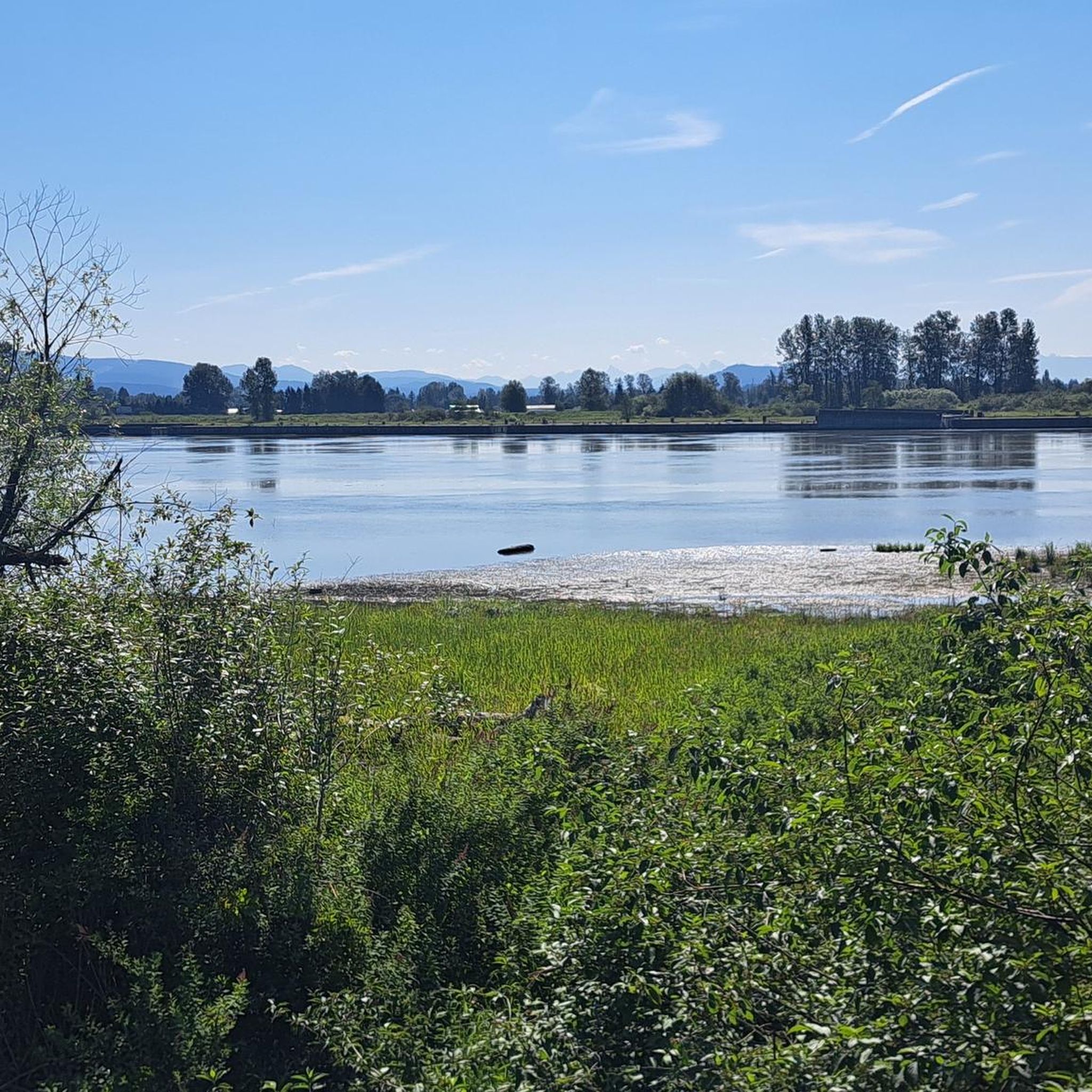
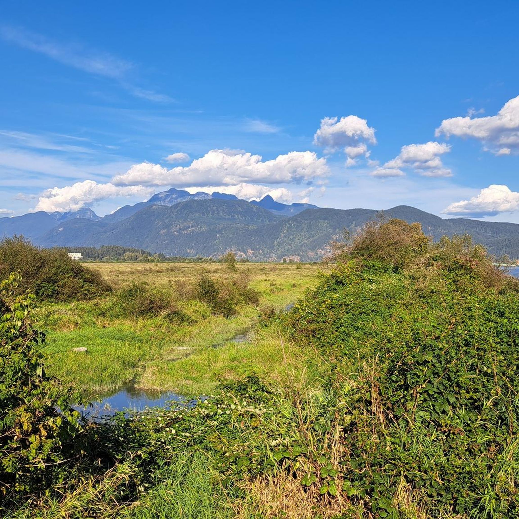
The Pitt River Regional Greenway follows the Fraser and Pitt Rivers and is a flat, easy route that is part of a wider network of cycling and walking paths through Pitt Meadows. The trail runs through open farmland, with long, uninterrupted views of the river and the surrounding mountains. With minimal tree cover and expansive scenery, it feels exposed and spacious, shaped more by the river and sky than by forest. There are plenty of access points and parking at both ends, making it perfect for a short or extended hike along the riverfront.
0
0

The DeBoville Slough follows the Pitt River for about two kilometers. On a clear day you can see Mount Baker and Golden Ears Park looming in the distance. Goose Bar is an island that is almost always visible in the center of the river, unless there is heavy fog.
0
0

PoCo Trail is a scenic path running along Pitt River, Coquitlam River, and through some woods. It is flat and wide, suitable for cyclists of all ages and abilities. The southern end (Argue Street) is paved; the rest is fine crushed gravel, ridable even with road bike tires. There are public washrooms at each end, on Argue Street and Cedar Drive. https://www.portcoquitlam.ca/recreation-parks/parks-trails/traboulay-poco-trail
0
0

The Pitt River Bridge is a cable-stayed bridge that spans the Pitt River between Port Coquitlam and Pitt Meadows in British Columbia, Canada.
0
0

A tiny bit of gravel, but provides a pretty, rural connection to the airport on quiet country roads. Option to continue on asphalt or pleasant dyke gravel from there.
0
0
Frequently Asked Questions
What natural features can I explore around Pitt Lake?
Pitt Lake itself is a significant natural feature, being one of the world's few tidal lakes. You can also explore the extensive Pitt-Addington Marsh Wildlife Management Area, a critical habitat for migratory birds. Further afield, Widgeon Falls offers scenic views and tranquil picnic spots, with a path leading to Widgeon Lake surrounded by granite bluffs.
Are there any family-friendly activities or trails near Pitt Lake?
Yes, several options are suitable for families. The Pitt River Regional Greenway is a flat, easy route perfect for cycling and walking, offering uninterrupted views. The Traboulay PoCo Trail is another family-friendly option, wide and mostly flat, running along the Pitt River and through woods. Grant Narrows Regional Park, the main access point to Pitt Lake, also features picnic areas and waterfront trails.
What kind of outdoor activities can I do around Pitt Lake?
The area offers a wide array of activities. You can enjoy boating, kayaking, canoeing, and fishing on Pitt Lake. For cycling, there are numerous trails including dyke roads. Hiking is also popular, with options ranging from easy walks to more challenging routes. Birdwatching is excellent, especially in the marshlands, with dedicated birdwatching towers along the dykes.
Are there specific hiking trails to recommend near Pitt Lake?
For those interested in waterfalls, consider the Widgeon Falls loop, a moderate hike in Pinecone Burke Provincial Park. More challenging options include the Widgeon Lake Trail. You can find more detailed information and routes in our guide to Waterfall hikes around Pitt Lake.
What cycling routes are available around Pitt Lake?
The region is well-suited for cycling. The Pitt River Regional Greenway is a popular, flat route. For those looking for a rural connection, the Pitt Bridge to Airport route offers options for asphalt or dyke gravel. You can explore various routes, including gravel biking options, in our guide to Gravel biking around Pitt Lake.
Are there any historical or cultural sites to visit?
Pitt Lake is situated on the unceded territory of the Katzie First Nation, highlighting their deep connection to the land. Along the western shore of Pitt Lake, ancient pictographs painted on rocks can be found in several locations, believed to be the work of the Katzie Indians. The area also holds forgotten history, including abandoned sites like a former lumber company at the end of the lake.
What is the best time of year to visit Pitt Lake?
The region offers activities year-round. Summer is ideal for water activities like boating, kayaking, and swimming. Spring and fall are excellent for hiking and birdwatching, especially in the Pitt-Addington Marsh Wildlife Management Area during migratory seasons. Fishing is also popular year-round.
Where can I find parking and access points for Pitt Lake?
Grant Narrows Regional Park serves as the main access point to Pitt Lake and offers amenities including a boat launch and parking. Other trails like the Pitt River Regional Greenway have plenty of access points and parking at both ends, making it convenient for visitors.
Are there any unique features about Pitt Lake itself?
Pitt Lake is unique as one of the world's few tidal lakes, influenced by the nearby Pacific Ocean and Fraser River, resulting in an average three-foot tide range. This dynamic water level creates a unique ecosystem and allows ocean fauna to migrate into the Pitt River system.
What are some of the more challenging mountain biking trails in the area?
For experienced mountain bikers, there are several difficult routes available. Examples include the Powerline Viewpoint loop from Harper Park or the Train Wreck Brewing loop from Moody Centre. You can find more challenging routes in our guide to MTB Trails around Pitt Lake.
Can I go fishing at Pitt Lake?
Yes, Pitt Lake is known for year-round fishing. Anglers can find various species including Rainbow Trout, Cutthroat, Steelhead, Dolly Varden, and different salmon species. The Upper Pitt River is particularly noted as an excellent fly-fishing and steelhead stream.
What kind of wildlife can I expect to see?
The Pitt-Addington Marsh Wildlife Management Area is a critical habitat for migratory birds, supporting over 200 avian species, including the greater sandhill crane. The diverse ecosystems of wetlands, bogs, and marshes also support various other wildlife.
Most popular routes around Pitt Lake

Get inspired with the komoot mobile app


Explore more
Still not found the Highlight you’re looking for? See guides of the top attractions in other regions:
