The best hikes from bus stations around Callander
4.5
(2367)
19,058
hikers
15
hikes
Bus station hiking trails around Callander provide access to the diverse landscapes of Loch Lomond & The Trossachs National Park. The region is characterized by its dramatic meeting point of the Scottish Highlands and Lowlands, featuring prominent hills like Ben Ledi, the scenic Callander Crags, and the impressive Bracklinn Falls. Hikers can explore a variety of terrains, from lush woodlands and riverside paths along the River Teith to more challenging ascents offering panoramic views over lochs and forests.
Best bus…
Last updated: July 7, 2026
4.6
(141)
869
hikers
7.53km
02:14
230m
230m
Moderate hike. Good fitness required. Easily-accessible paths. Suitable for all skill levels.
4.7
(14)
80
hikers
23.1km
07:16
800m
800m
Hard hike. Very good fitness required. Easily-accessible paths. Suitable for all skill levels.

Sign up for free
4.7
(19)
194
hikers
5.21km
01:28
100m
100m
Easy hike. Great for any fitness level. Easily-accessible paths. Suitable for all skill levels.
4.8
(8)
48
hikers
8.60km
02:20
120m
120m
Moderate hike. Good fitness required. Easily-accessible paths. Suitable for all skill levels.
4.8
(9)
43
hikers
Moderate hike. Good fitness required. Easily-accessible paths. Suitable for all skill levels.
Get access to more routes and recommendations from other explorers.
Sign up for free
Already have an account?
Our route recommendations are based on thousands of hikes, rides, and runs completed by other people on komoot.
Start today with a free account
Your next adventure awaits.
Login or Signup
Popular around Callander
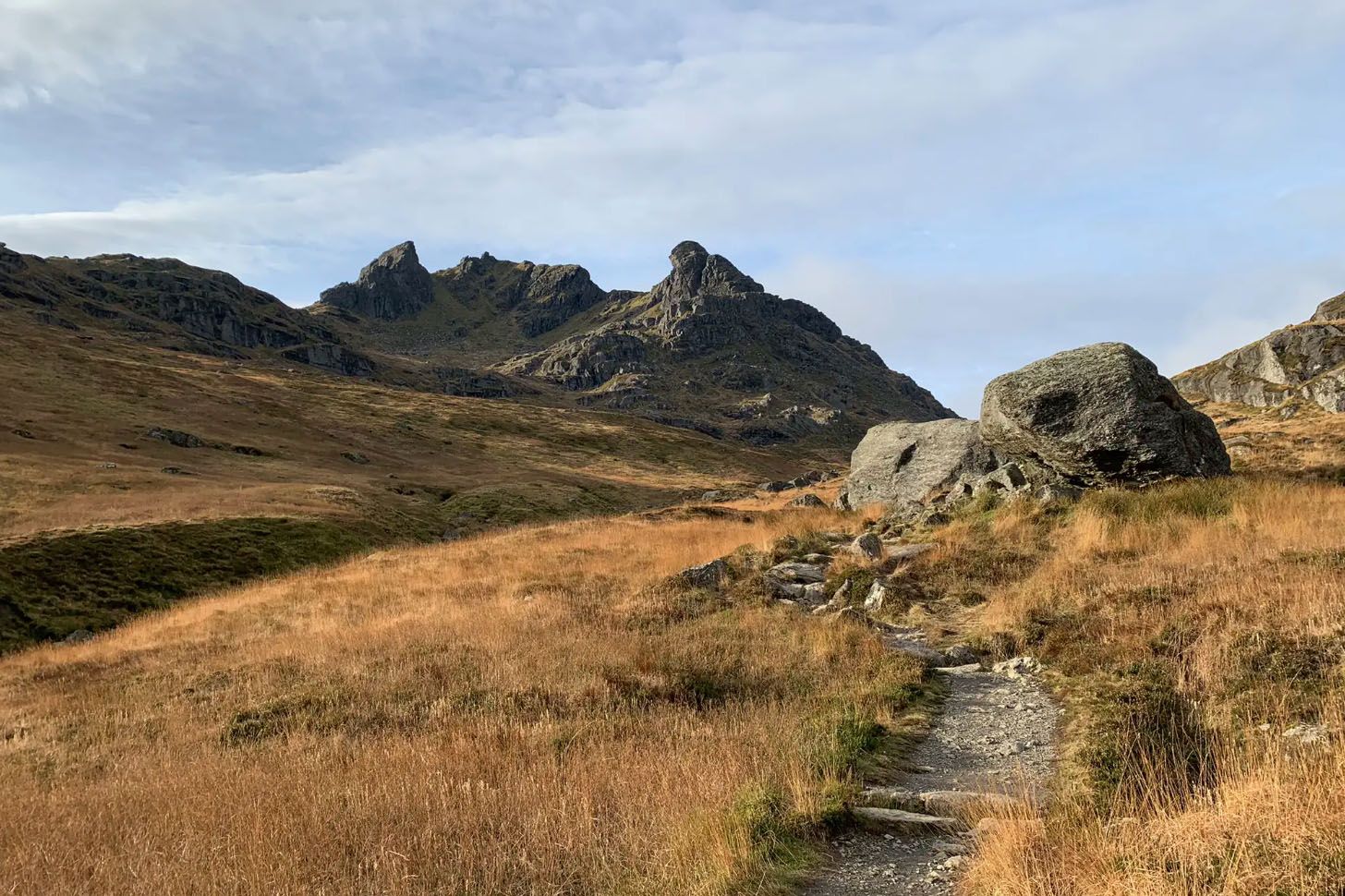
Enchanting hikes in Loch Lomond and the Trossachs National Park
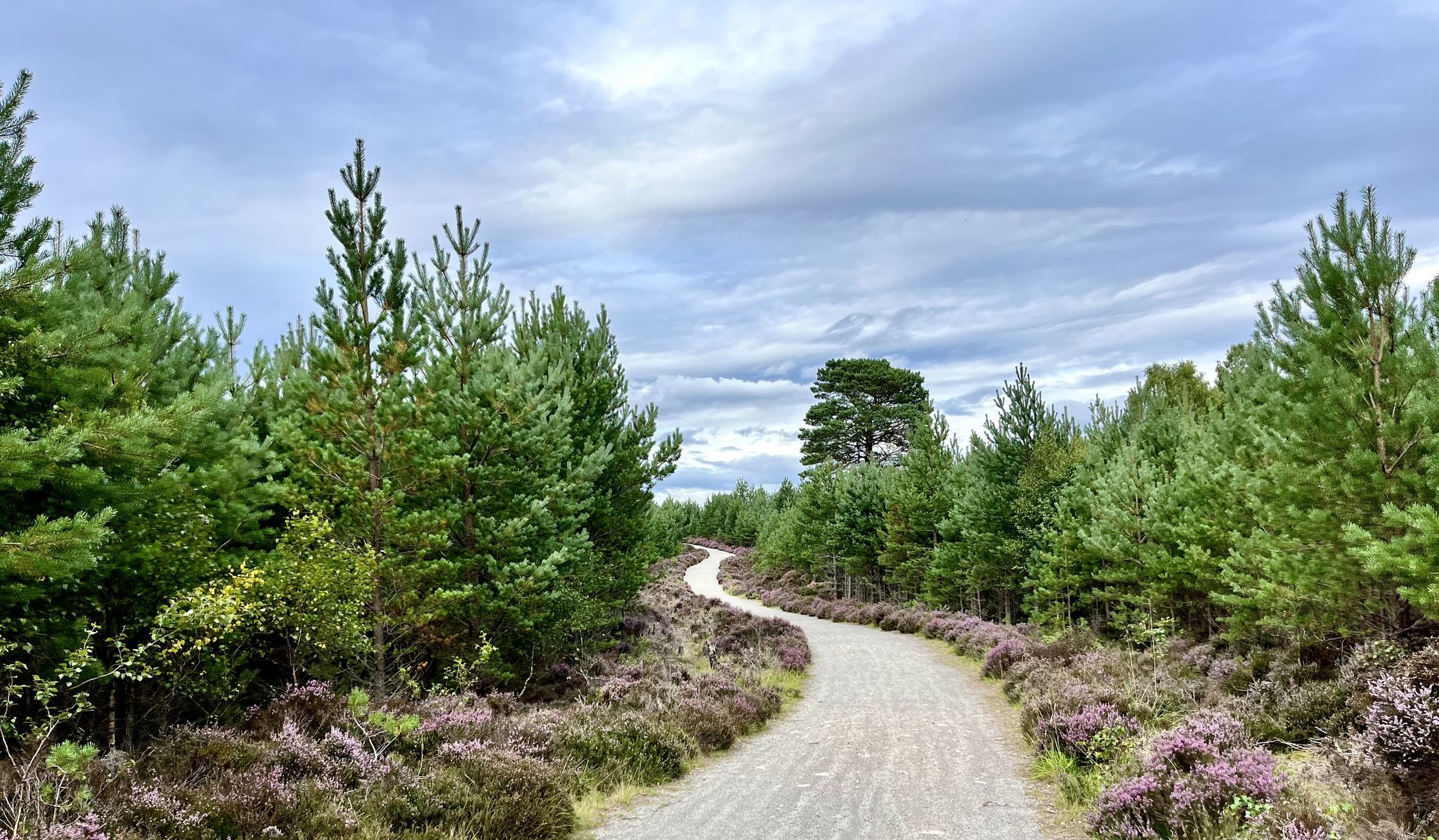
National Cycle Network Route 7 – Sunderland to Inverness
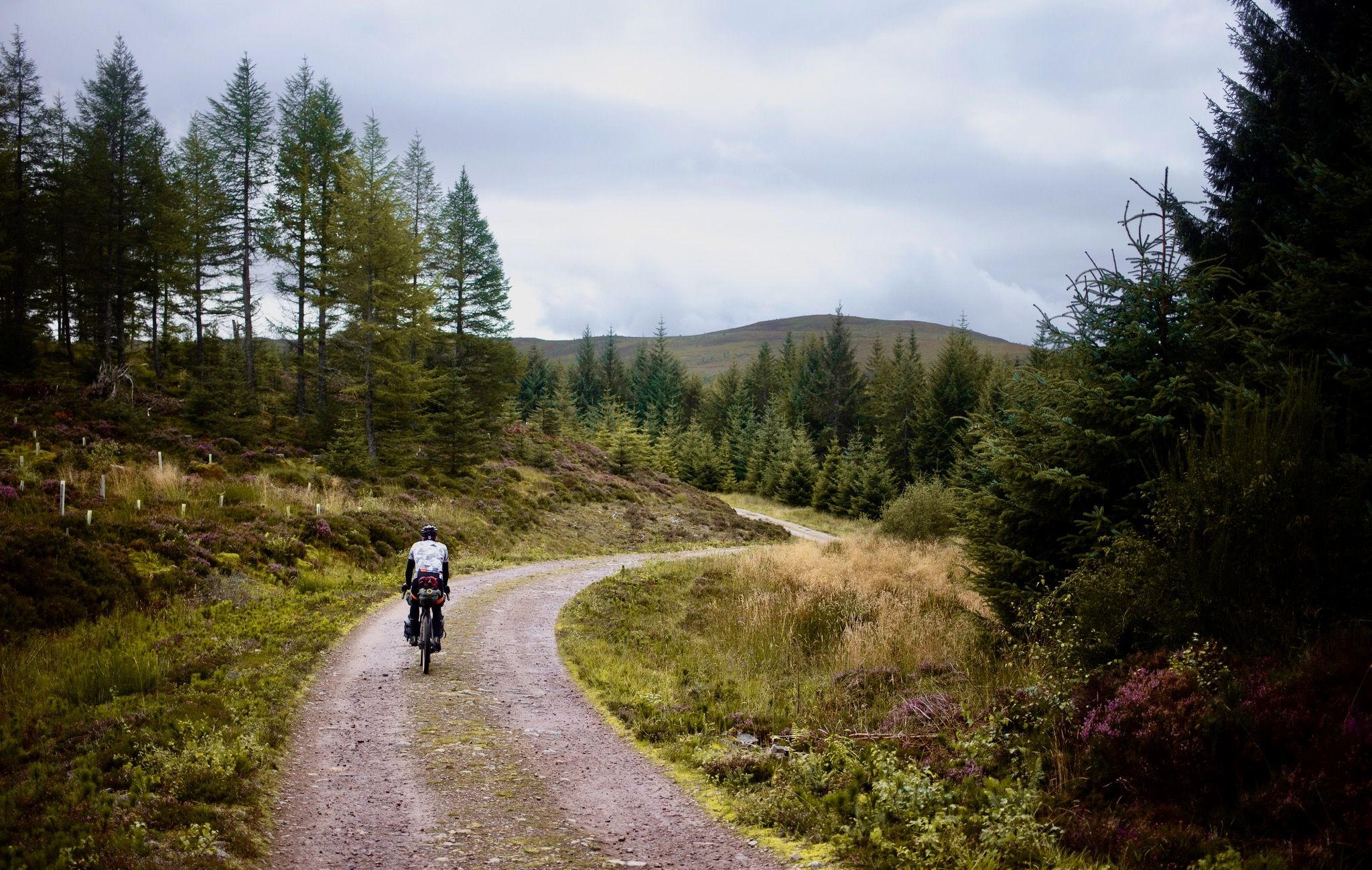
The Badger Divide — Lochs, bothies & the heart of the highlands
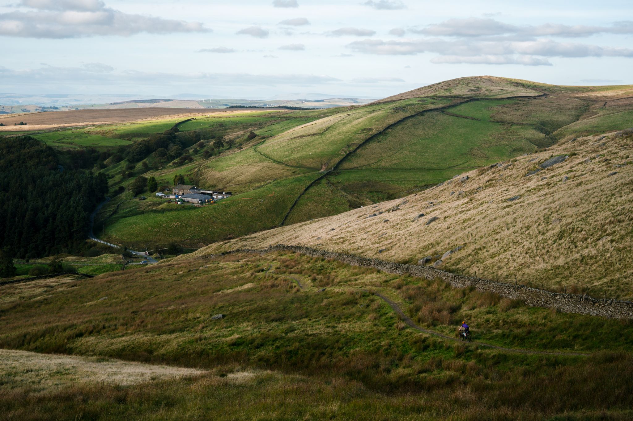
Great North Trail — From the Pennine Hills to the tip of Scotland
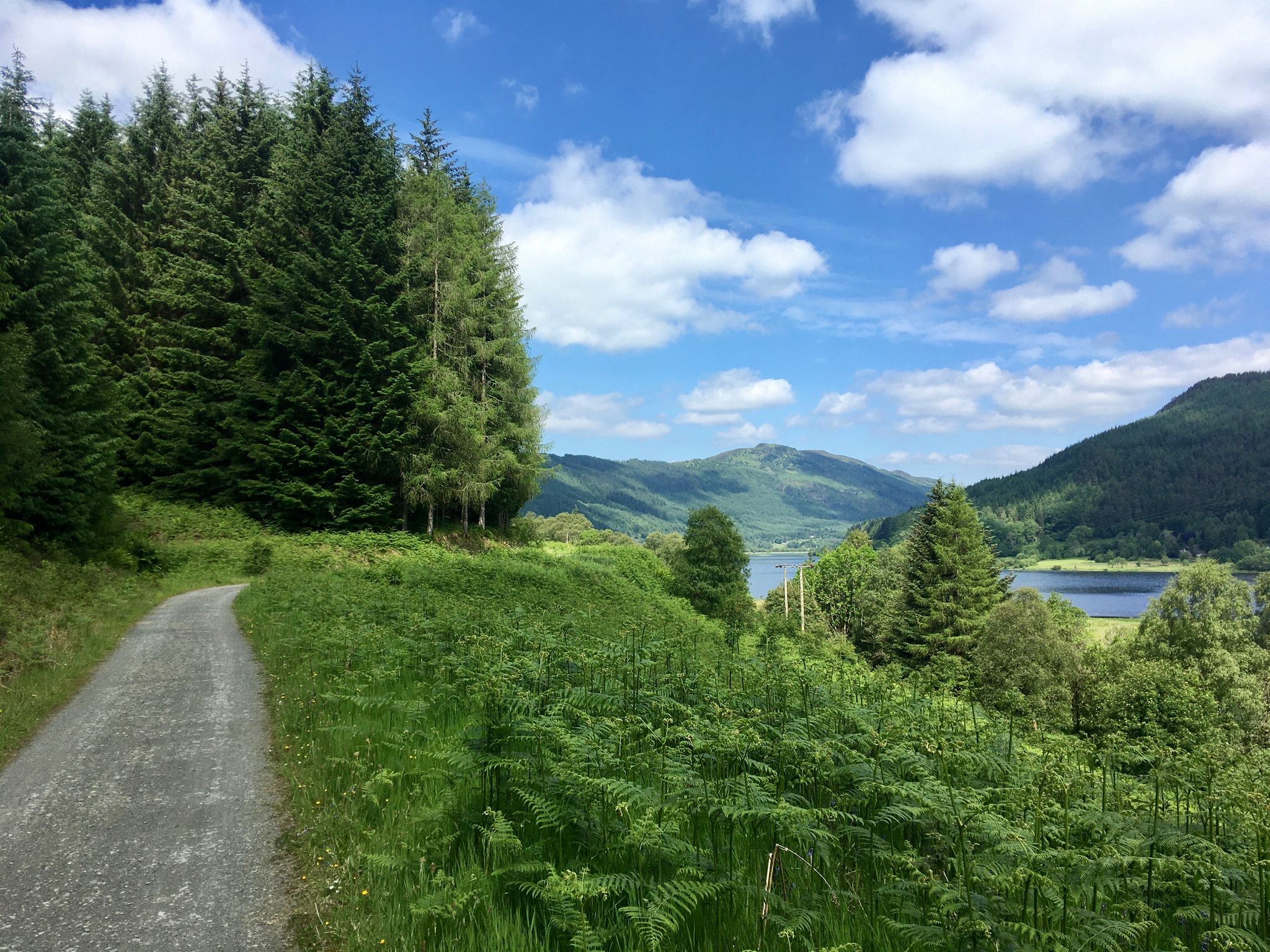
Callander Meanders
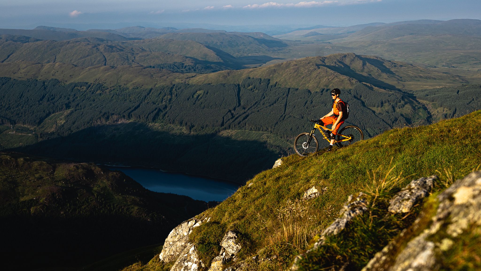
No trails like home — Stirling MTB Rides
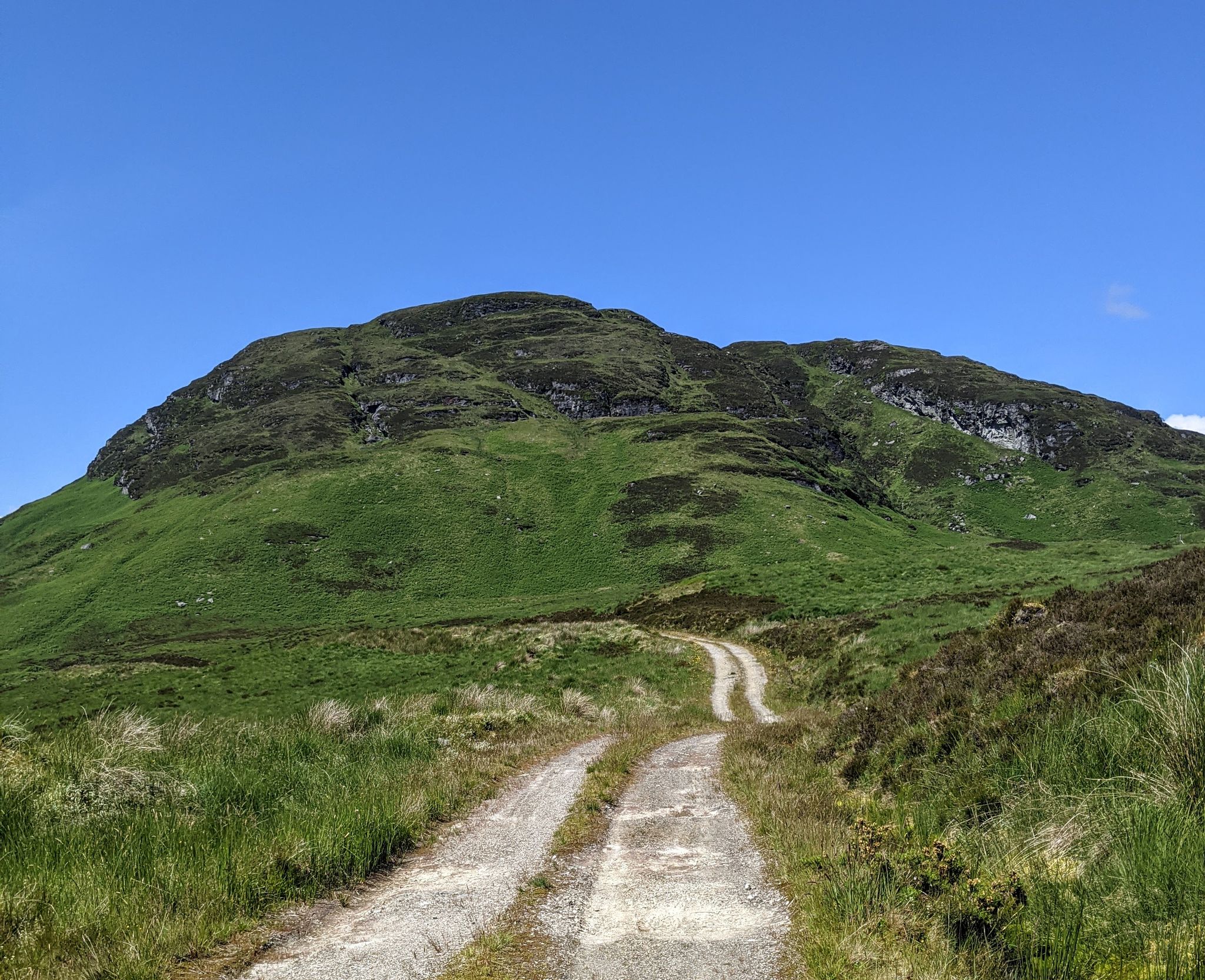
Spectacular mountain biking in Loch Lomond and the Trossachs
Other adventures around Callander


Tips from the Community


You can cover the whole ridge wich has lovely 360 views and even connect with the Bracklinn Falls loop. Well worth it!
0
0

There’s a good flow of water over threes falls even in summer months. Perhaps a better fall than Bracklinn when there’s been little rain, and the pools beneath are more accessible. The paths can be overgrown with bracken in July / August.
0
0

Stunning view of the River Teith as you leave or come back into Callander.
1
0

Keltie Water rises to the east of Loch Lubnaig and flows south for about 10 miles (16 km) before going the River Teith near Callander. There are a number of attractive waterfalls on the way. Here on the wooded western flank of A'Chrannach, you can get a view of the meandering course it takes through the Scottish Hills.
1
0

A small nondescript little pool near the street. Market by a stony sign. You can see the water bubble a bit.
0
0

These waterfalls can be visited on a ~5km circular walk that also includes the Bracklinn waterfalls. Best visited after heavy rain.
2
0
The waterfalls are best visited after heavy rain. The new bridge provides a great view point.
0
0
Frequently Asked Questions
How many hiking trails are accessible directly from bus stations around Callander?
There are 14 hiking trails available that start conveniently from bus stations around Callander, making it easy to explore the region without a car.
Are there any easy, family-friendly hikes from the Callander bus station?
Yes, there are several easy options suitable for families. For a gentle stroll, consider the Main Street Bakery Callander – Bracklinn Falls loop from Callander, which is 5.2 km long and takes you through pleasant scenery. The Callander Meadows also offers a wheelchair-accessible route for a relaxed experience.
Can I find routes that lead to waterfalls from the bus station?
Absolutely! The spectacular Bracklinn Falls are a highlight of the area. You can reach them via the Bracklinn Falls – Keltie Waterfalls loop from Callander, a moderate 7.5 km hike. The falls are a must-see natural attraction on the River Keltie.
Are there any challenging hikes for experienced trekkers accessible by bus?
For experienced hikers, the ascent of Ben Ledi offers a rewarding challenge. The Ben Ledi Summit – View of Loch Lubnaig loop from Callander is a difficult 23 km route with significant elevation gain, providing spectacular views across the Trossachs and southeastern Highlands.
What kind of scenic viewpoints can I expect on these trails?
Many routes offer breathtaking vistas. The Callander Crags, for instance, provide dramatic views over Callander, the River Teith, Loch Venachar, Ben Ledi, and even as far as Stirling on a clear day. The Ben Ledi summit also offers panoramic views of Loch Lubnaig and the surrounding landscape.
Are the bus station trails in Callander suitable for dogs?
Many trails in the Callander area are dog-friendly, especially those through woodlands and along riversides. Always keep dogs under control, particularly near livestock or in nature conservation areas. It's advisable to check specific route details for any restrictions.
Are there circular hiking routes available from the bus station?
Yes, several routes are circular, allowing you to start and end at the same point near the bus station. Examples include the Bracklinn Falls – Keltie Waterfalls loop from Callander and the River Teith at Callander – Main Street Bakery Callander loop from Callander, providing convenient options for exploration.
What are some notable natural attractions or landmarks I might see on these hikes?
Beyond the stunning landscapes of Loch Lomond & The Trossachs National Park, you can encounter several natural and historical features. Highlights include the dramatic Bracklinn Falls, the majestic Keltie Waterfalls, and the scenic River Teith. The area also boasts interesting geological legacies like the Highland Boundary Fault.
What do other hikers enjoy most about hiking in Callander?
The Callander area is highly rated by the komoot community, with an average score of 4.49 stars. Reviewers often praise the diverse landscapes, from tranquil lochs and lush woodlands to challenging mountain ascents, and the accessibility of many trails directly from the town.
Can I find longer, moderate-difficulty routes from the bus station?
Certainly. For a longer, moderate hike, consider the Main Street Bakery Callander – View of Ben Ledi loop from Callander. This 13.2 km route offers a good workout with rewarding views of Ben Ledi and the surrounding Trossachs.
Are there any routes that follow the River Teith?
Yes, you can enjoy pleasant riverside walks along the River Teith. The River Teith at Callander – Main Street Bakery Callander loop from Callander is an 8.4 km moderate route that allows you to experience the river's beauty and spot local wildlife.
Most popular routes around Callander
Most popular attractions around Callander

Get inspired with the komoot mobile app


Explore more
Browse the best Hikes in other regions.
