The best hikes from bus stations in Torino
4.4
(34877)
176,645
hikers
1,972
hikes
Bus station hiking trails in Torino offer access to a diverse landscape at the foot of the Western Alps. The region features high peaks, glaciated terrain, deep valleys, and extensive forests, alongside accessible hills and riverine environments along the Po River. Proximity to areas like Gran Paradiso National Park and Val di Susa provides varied hiking opportunities. This geography allows for a range of trails, from challenging alpine routes to more gentle paths through natural parks and urban green spaces.
…Last updated: October 24, 2026
4.7
(165)
583
hikers
11.4km
04:32
540m
540m
Moderate hike. Good fitness required. Mostly walkable paths. Sure-footedness required.
4.8
(100)
544
hikers
13.7km
06:31
930m
930m
Hard hike. Very good fitness required. Sure-footedness, sturdy shoes and alpine experience required.

4.6
(60)
226
hikers
Moderate hike. Good fitness required. Mostly walkable paths. Sure-footedness required.
4.6
(73)
236
hikers
5.25km
01:26
80m
80m
Easy hike. Easily walkable paths.
4.4
(32)
116
hikers
8.65km
02:15
50m
50m
Moderate hike. Good fitness required. Easily walkable paths.
Get access to more routes and recommendations from other explorers.
Already have an account?
Our route recommendations are based on thousands of hikes, rides, and runs completed by other people on komoot.
Start today with a free account
Your next adventure awaits.
Popular around Torino
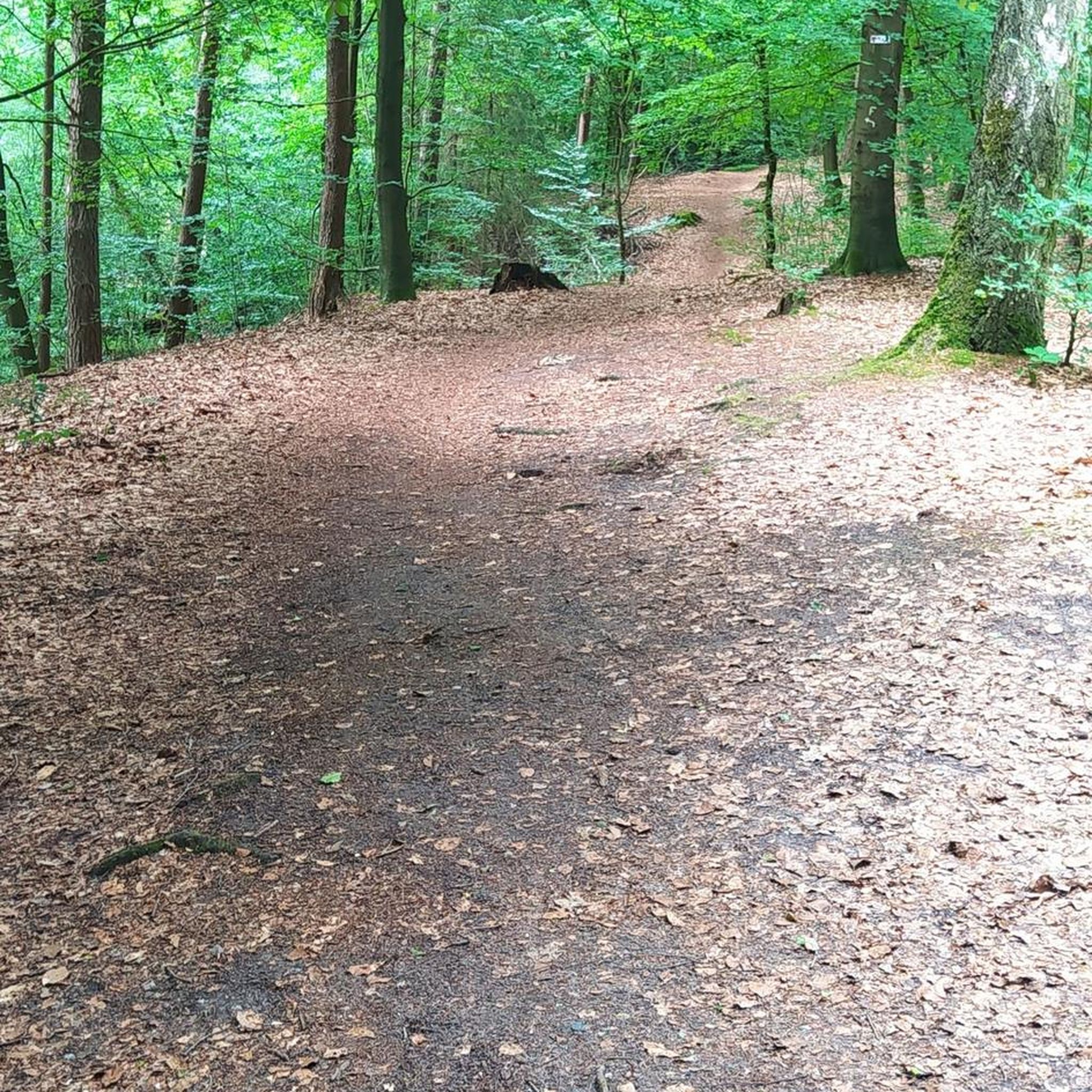
Hikes from bus stations around Lake Nero

Hikes from bus stations in Laghi Di Ivrea
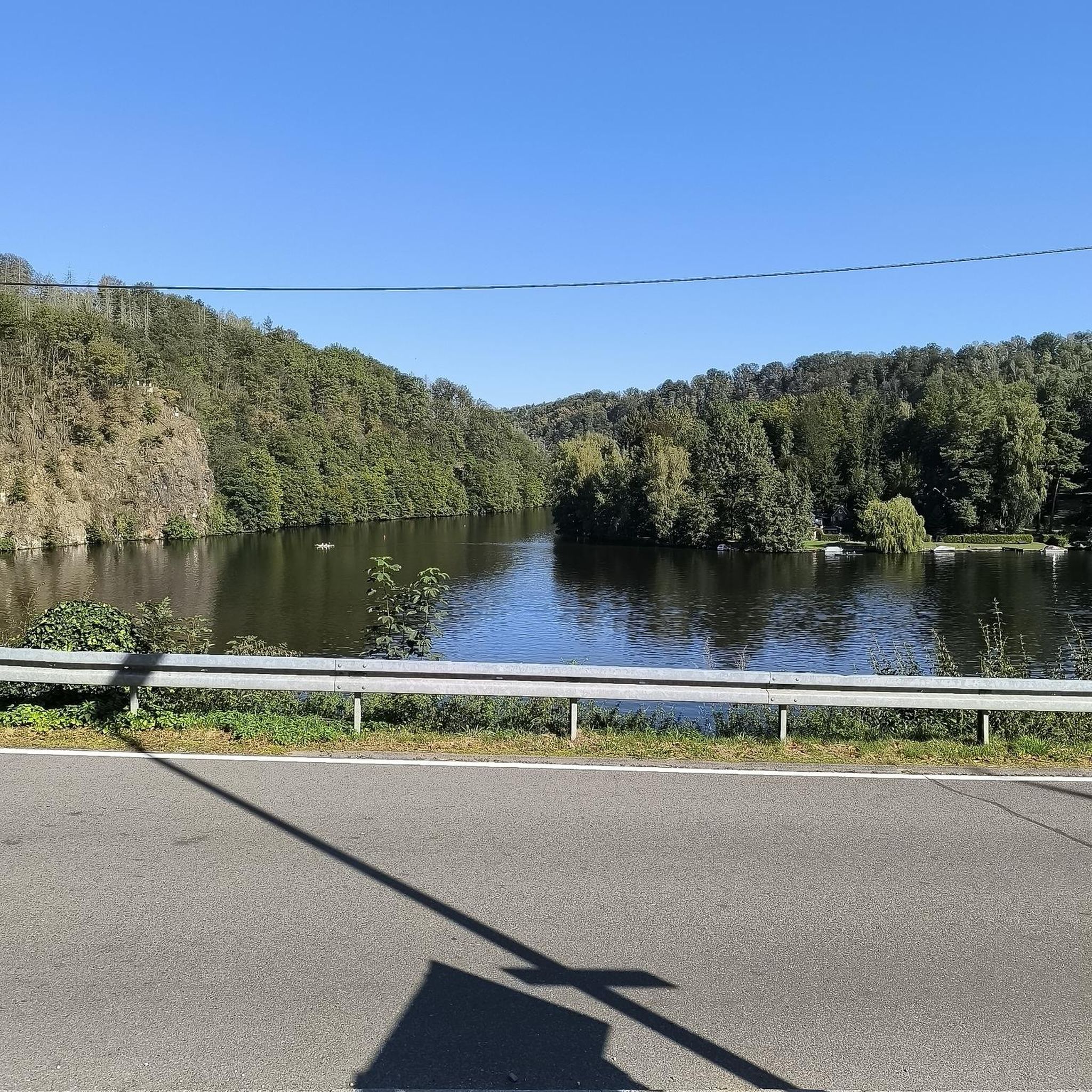
Hikes from bus stations around Lake Ceresole

Hikes from bus stations in Cima Fournier E Lago Nero

Hikes from bus stations in Pendici Del Monte Chaberton
Hikes from bus stations in Val Troncea
Hikes from bus stations in Col Basset (Sestriere)
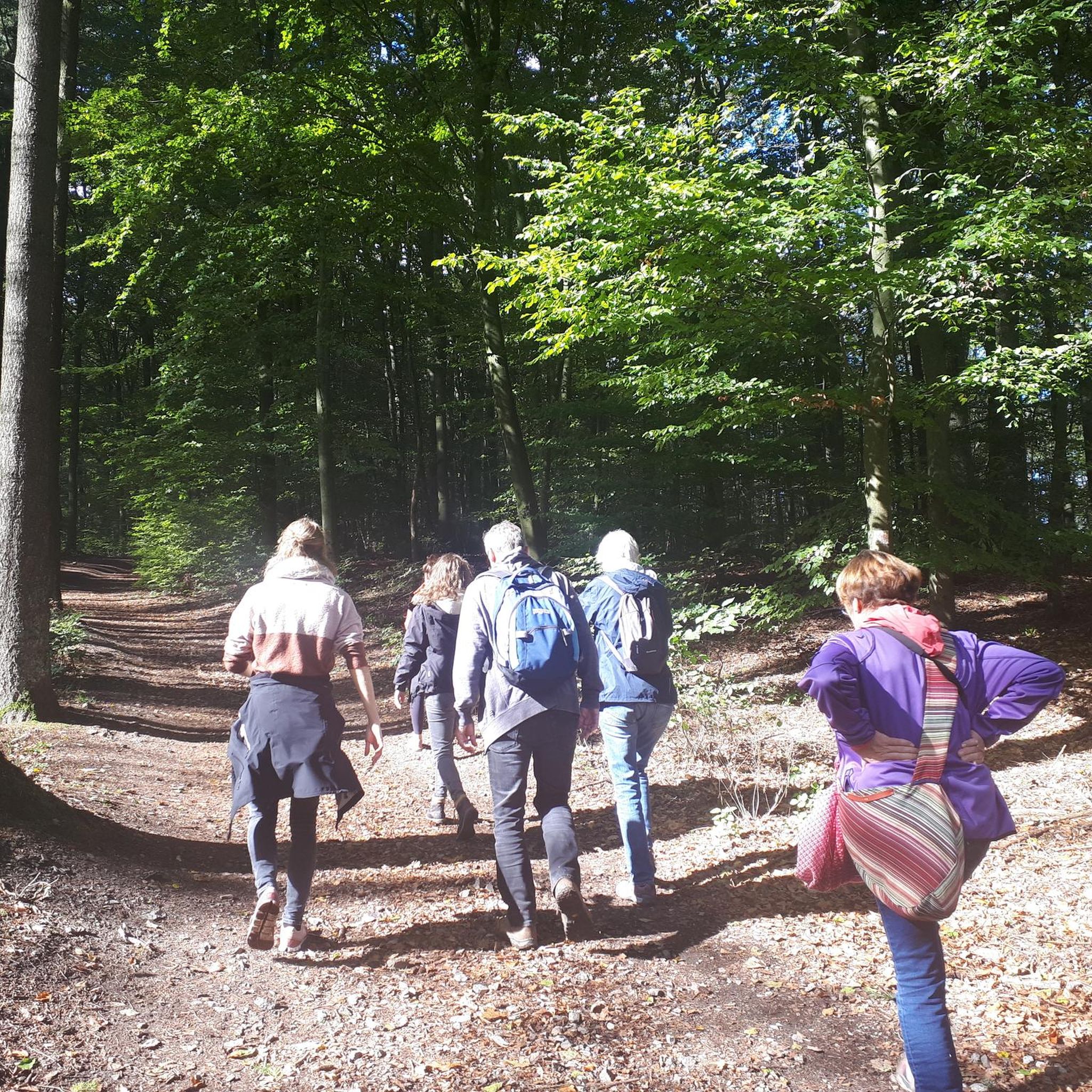
Hikes from bus stations around Parco Naturale della Val Troncea

Hikes from bus stations around Lake Pistono
Hikes from bus stations around Parco Naturale del Gran Bosco di Salbertrand
Other adventures in Torino


Tips from the Community


Still not in operation.
0
0

The central monument of the square
1
0

How fast do you push it on the bike?
1
0

Refuge in front of the Nivolet lakes. In my opinion it would have great potential given the fabulous location, but in my opinion it is not exploited.
1
0

super mega pretty here
3
0

Ancient bunker dating back to the war periods, on the Assietta road, with a beautiful panoramic view of the Valsusa valley
1
0
Frequently Asked Questions
How many bus-accessible hiking trails are available around Torino?
There are nearly 1800 hiking routes around Torino that are accessible by bus, catering to various skill levels. You'll find over 630 easy routes, nearly 900 moderate options, and more than 230 challenging trails for experienced hikers.
Are there any easy, family-friendly hikes accessible by bus from Torino?
Yes, the Torino Hills (Collina Torinese) offer many gentle paths ideal for families. For a specific easy and scenic option, consider the Lake Sirio and Terre Ballerine Loop Trail, which is a relatively short and flat route perfect for a relaxed outing.
What kind of natural features can I expect to see on bus-accessible hikes near Torino?
The region around Torino offers diverse landscapes, from the accessible Torino Hills with their forested paths to the more rugged Valleys like Val di Susa and Canavese. You can encounter alpine meadows, river valleys, and even high-altitude lakes. Specific highlights include the stunning Goja del Pis Waterfall or the impressive Tibetan Bridge of Cesana Claviere.
Are there any circular hiking routes that I can reach by bus from Torino?
Yes, several circular routes are accessible. For a moderate option in a natural park, try the Monte Genevris from Sauze d'Oulx — Gran Bosco di Salbertrand Natural Park — Ring tour. Closer to the city, the Corona di Delizie: Turin City and River Po Loop offers a pleasant urban and riverside circular walk.
What are some challenging bus-accessible hikes for experienced trekkers?
For experienced hikers seeking a challenge, the Gran Paradiso National Park offers demanding routes. A notable difficult option is the From Nivolet Lakes to Taou Blanc — Gran Paradiso National Park, which takes you through high-alpine terrain with significant elevation gain.
Can I find hikes with historical landmarks or cultural sites accessible by bus?
Absolutely. The region is rich in history. The iconic Sacra di San Michele, a dramatic abbey perched on a mountaintop, is accessible via various trails. The Val di Susa also features sections of the historic Via Francigena. You can also find highlights like the Chapel of the Madonna of Rocca Sella on some routes.
What do other hikers say about the bus-accessible trails in Torino?
The komoot community highly rates the hiking experience around Torino, with an average score of 4.4 out of 5 stars from over 27,000 ratings. Hikers often praise the stunning panoramic views of the Alps, the diversity of landscapes, and the accessibility of trails from public transport.
Are there any bus-accessible hikes that lead to mountain peaks or high viewpoints?
Yes, many trails offer rewarding views. You can hike to peaks like Mount Cuneo (Moncuni) or the Summit cross of Monte Musinè, which provide excellent vantage points over the surrounding valleys and the Alpine arc. The Val di Susa and Canavese regions are particularly known for their panoramic viewpoints.
Which valleys near Torino are good for bus-accessible hiking?
The Val di Susa is a popular choice, known for its blend of natural beauty and history. The Canavese region, situated between Torino and Aosta, also offers green landscapes and serves as a gateway to Gran Paradiso National Park. For a moderate hike in a scenic valley, consider the route From Ceresole Reale to Lake Dres.
What is the best time of year to go hiking from Torino's bus stations?
Spring and autumn generally offer the most pleasant conditions for hiking, with mild temperatures and vibrant scenery. Summer is ideal for higher-altitude trails in the Alps, while some lower-lying paths in the Torino Hills can be enjoyed even in winter, weather permitting.
Are there any gorges or canyons accessible by bus for hiking?
Yes, the region features several impressive gorges. You can explore areas like the Foresto Gorge or the Chianocco Gorge, which offer unique geological formations and often feature trails running alongside rivers or through dramatic rock formations.
Most popular routes in Torino
Most popular attractions in Torino

Get inspired with the komoot mobile app


Didn’t find what you were looking for?
Check out more Hikes throughout Torino below and find the perfect route in your destination.
Explore more
Browse the best Hikes in other regions.
