The best hikes from bus stations in the Bezirk Bludenz
4.6
(40224)
199,308
hikers
1,160
hikes
Bus station hiking trails in the Bezirk Bludenz offer access to a diverse alpine landscape in western Vorarlberg, Austria. The region features majestic peaks, lush meadows, dense forests, and clear mountain streams. It is framed by the Lechquellen Mountains, Rätikon, Verwall, and Silvretta Alps, providing extensive trail networks. Valleys such as Montafon, Klostertal, Brandnertal, and Großes Walsertal branch out from Bludenz, each offering distinct hiking experiences.
Best bus station hiking trails in the Bezirk Bludenz
- The most popular bus station hiking route is Paths to the water – Bürserschlucht, a 4.0 miles (6.4 km) moderate trail that takes 2 hours 17 minutes to complete. This path winds through a geologically significant gorge.
- Another top favourite among local hikers is Lech to Formarinsee, a difficult 11.3 miles (18.3 km) path. This route offers significant elevation changes and scenic views towards Formarinsee.
- Local hikers also love the The Lechschlucht – an impressive hike from Lech to Warth, a 6.0 miles (9.6 km) trail leading through the Lechschlucht gorge, often completed in about 3 hours 25 minutes.
- Hiking in the Bezirk Bludenz is defined by diverse mountain ranges, picturesque valleys, and impressive gorges. The network offers options for various ability levels, from leisurely walks to challenging summit ascents.
- The routes in Bezirk Bludenz are highly rated by the komoot community with an average score of 4.6 stars from more than 34,000 reviews. More than 179,000 hikers have used komoot to explore Bezirk Bludenz's varied terrain.
Last updated: October 1, 2026
4.8
(1122)
4,117
hikers
6.45km
02:17
320m
310m
Moderate hike. Good fitness required. Mostly accessible paths. Sure-footedness required.
4.8
(879)
3,193
hikers
18.3km
05:44
630m
200m
Hard hike. Very good fitness required. Sure-footedness, sturdy shoes and alpine experience required.

4.7
(502)
1,784
hikers
9.62km
03:26
310m
260m
Moderate hike. Good fitness required. Easily-accessible paths. Suitable for all skill levels.
4.9
(268)
1,130
hikers
15.6km
06:13
670m
670m
Hard hike. Very good fitness required. Sure-footedness, sturdy shoes and alpine experience required.
4.7
(254)
1,140
hikers
Moderate hike. Good fitness required. Mostly accessible paths. Sure-footedness required.
Get access to more routes and recommendations from other explorers.
Already have an account?
Our route recommendations are based on thousands of hikes, rides, and runs completed by other people on komoot.
Start today with a free account
Your next adventure awaits.
Popular around Bezirk Bludenz
Hikes from bus stations around Dalaas
Hikes from bus stations in Europaschutzgebiet Bergwälder Klostertal

Hikes from bus stations around Sankt Gallenkirch
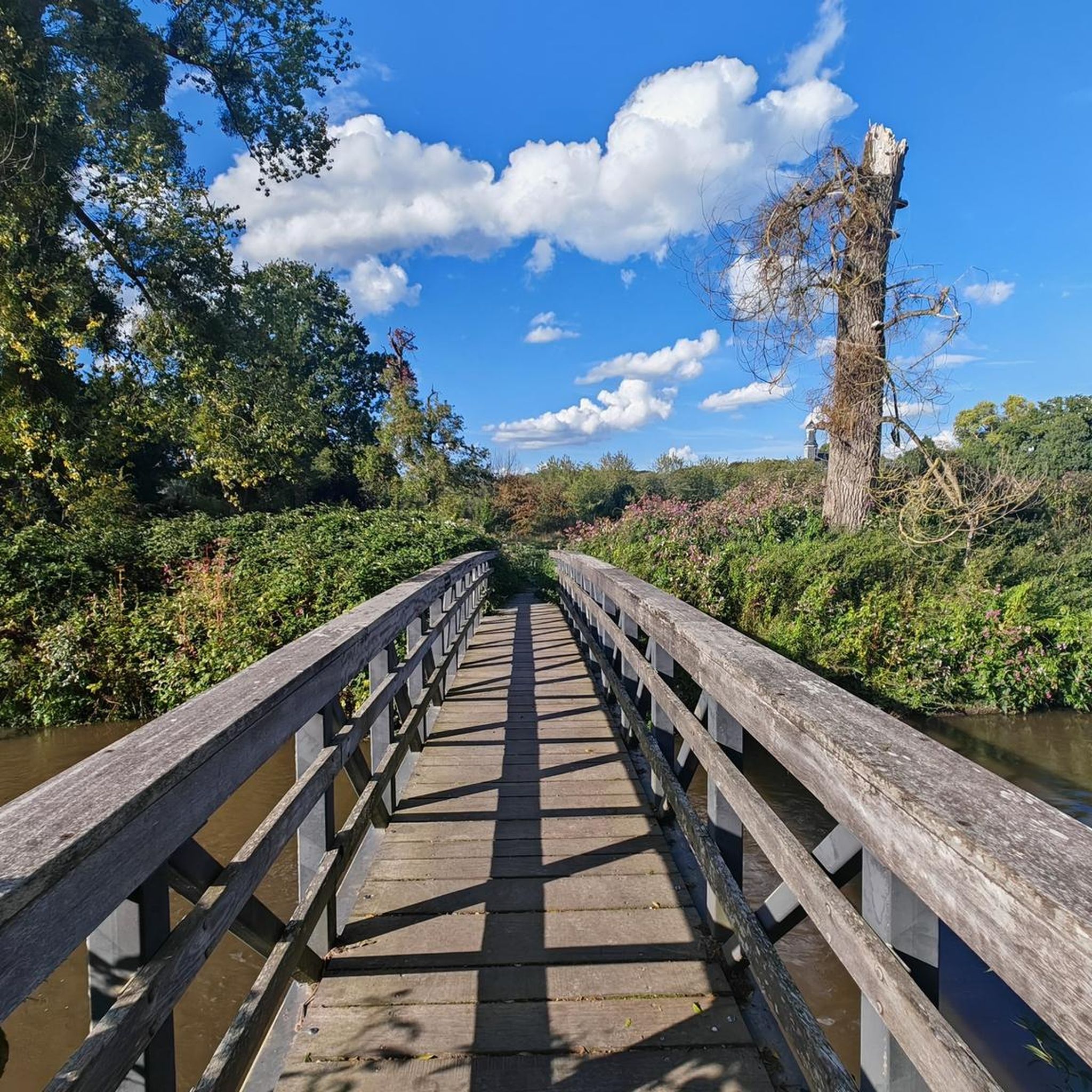
Hikes from bus stations around Silvretta-Stausee
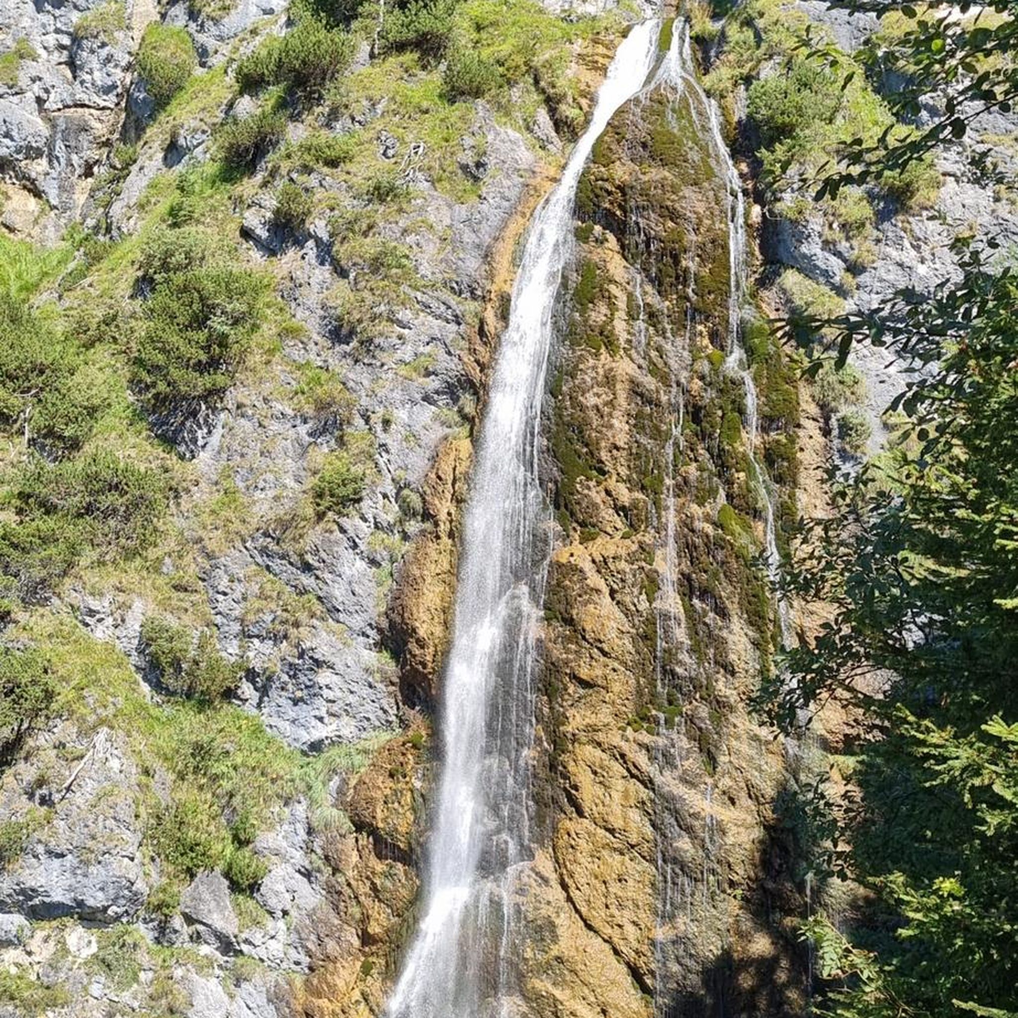
Hikes from bus stations around Bartholomäberg
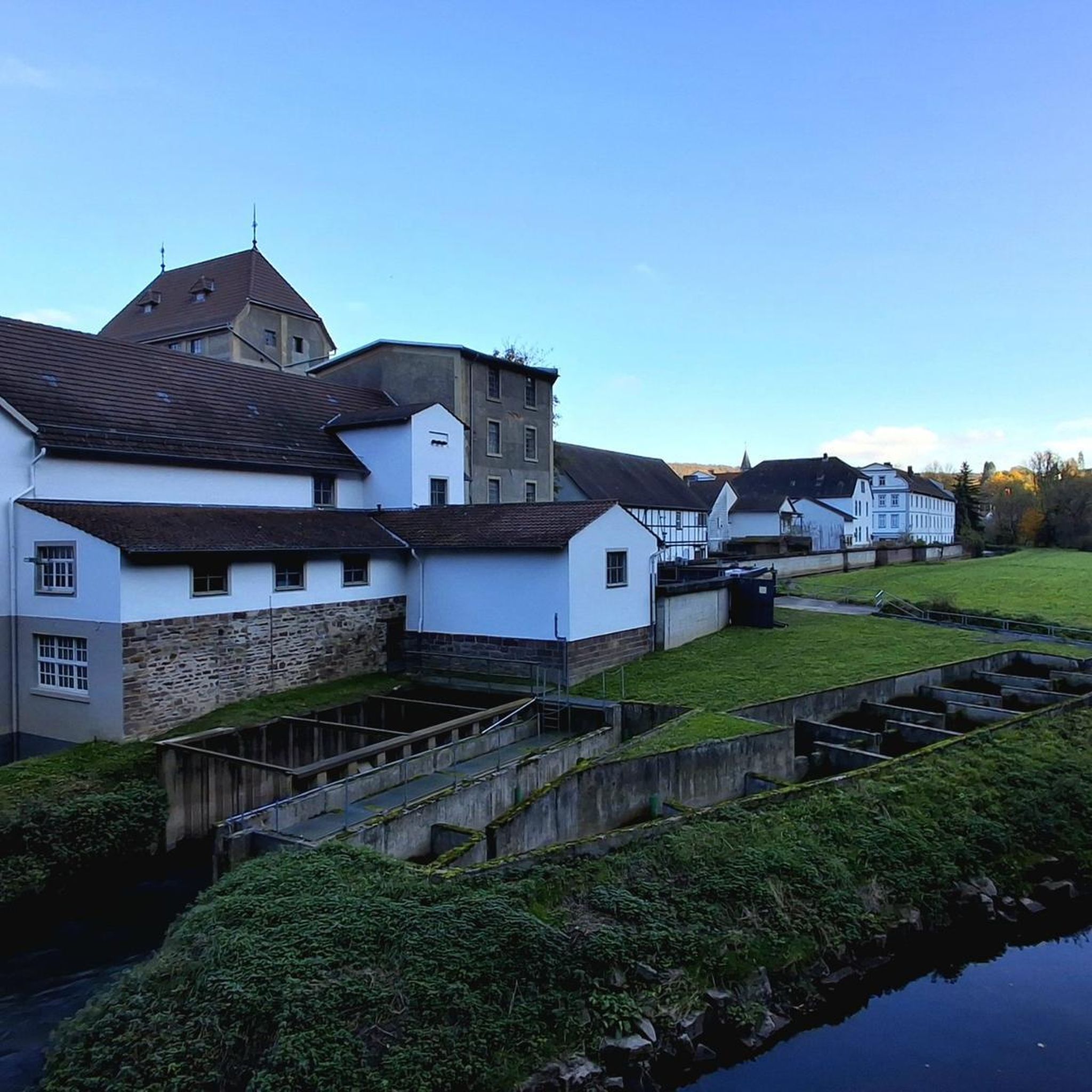
Hikes from bus stations around Nenzing
Hikes from bus stations in Geschützter Landschaftsteil Rellstal Und Lünerseegebiet
Hikes from bus stations around Lünersee
Hikes from bus stations around Spullersee

Hikes from bus stations around Fontanella
Other adventures in the Bezirk Bludenz


Tips from the Community

Beautiful spring meadows, although the actual spring is further up in the mountains.
0
0
Beautiful trail to the Freiburger Hut, which is also doable in wet conditions.
0
0
Beautiful and natural hiking trail along the Lech River.
0
0

The trail from the Silvretta Reservoir to the Wiesbadener Hut through the Biel Valley and over the Radsattel is somewhat more challenging than the direct route, but significantly more scenic. Hiking boots are recommended here (especially in the upper section, where you occasionally cross scree fields), but otherwise, no special equipment is required.
0
1

The Bürser Gorge was formed by the interplay of water and ice after the retreat of the glaciers about 10,000 years ago. The Alvierbach stream created a spectacular, almost jungle-like landscape with moss-covered rocks and a rich flora.
9
0

There is a marked winter hiking trail around the lake. However, it is only partially groomed and therefore very suitable for snowshoes.
5
0

Beautiful route along the Lech.
0
0
Frequently Asked Questions
How many bus-accessible hiking trails are there in Bezirk Bludenz?
Bezirk Bludenz offers a vast network of hiking trails easily reachable by public transport. Our guide features over 1100 routes that start conveniently from bus stations, catering to all skill levels. This includes over 400 easy, 500 moderate, and 250 difficult trails.
Are there easy or family-friendly hikes accessible by bus in Bezirk Bludenz?
Yes, many trails are suitable for families and beginners. The region's diverse landscape includes leisurely river walks and themed trails. For example, the Paths to the water – Bürserschlucht is a moderate, family-friendly option winding through an impressive gorge. The Muttersberg area also offers numerous routes, many of which are accessible by cable car from Bludenz, providing easier access to higher elevations.
Can I bring my dog on bus-accessible hikes in Bezirk Bludenz?
Generally, dogs are welcome on hiking trails in Bezirk Bludenz. However, specific rules regarding leashes may apply in certain areas, especially nature reserves or near grazing livestock. When using public transport to reach trailheads, it's advisable to check the specific bus operator's policy regarding dog transport, as regulations can vary. The Vorarlberg guest card often includes public transport, but specific rules for dogs should be confirmed.
What kind of natural attractions can I expect to see on bus-accessible trails?
The bus-accessible trails in Bezirk Bludenz lead to a variety of stunning natural features. You can explore picturesque valleys, dense forests, and crystal-clear mountain streams. Highlights include the impressive rock formations of the Kuhloch gorge, and the wild waters of the Bürser Schlucht. While not directly on a bus route, the region is also home to the stunning Lünersee and Formarinsee, which can be reached via connecting bus services during peak season.
Are there any circular hiking routes reachable by bus?
Yes, the region offers several circular routes that are convenient to access by bus. For instance, the Circular route around the Hohe Rad - hiking trails in the Montafon provides a challenging loop with stunning views. The Lünersee loop is another highly recommended circular hike, often accessible via bus connections to the cable car station.
What are some challenging bus-accessible hikes for experienced hikers?
For experienced hikers seeking a challenge, the region provides demanding routes with significant elevation changes. The Lech to Formarinsee trail is a longer, scenic option. Another demanding route is the Glacier view loop at the Silvretta Reservoir, offering impressive alpine vistas. These routes often involve considerable distances and ascents, rewarding hikers with panoramic views of the Rätikon, Verwall, and Silvretta Alps.
When is the best time of year to go hiking from bus stations in Bezirk Bludenz?
The best time for hiking in Bezirk Bludenz is generally from late spring to early autumn (May to October). During these months, trails are typically free of snow, and the weather is most favorable. Spring brings blooming alpine meadows, while autumn offers vibrant foliage. For higher alpine routes, summer (July and August) is ideal. Some lower-altitude trails might be accessible in winter, but conditions can be challenging and require appropriate gear.
Are there specific bus routes that serve popular trailheads in the region?
Yes, the public transport network in Bezirk Bludenz is well-developed to serve many popular hiking areas. Key valleys like Montafon, Klostertal, Brandnertal, and Großes Walsertal have bus services that connect towns with trailheads. For example, buses frequently run to areas like Bürs for the Bürser Schlucht, and to Lech for trails like the Lechschlucht. It's recommended to check local bus schedules for specific routes and timings, especially during off-peak seasons.
What makes the Bürser Schlucht a unique bus-accessible hiking experience?
The Bürser Schlucht offers a unique geological experience, easily accessible by bus. This dry gorge, formed thousands of years ago, features impressive rock formations and the immersive sound of rushing water. It's a moderate trail, making it suitable for families, and provides a fascinating insight into the region's natural history. The trail itself is well-maintained and offers a distinct atmosphere as you walk between the closing rock walls.
What do other hikers say about the bus-accessible trails in Bezirk Bludenz?
The hiking trails in Bezirk Bludenz are highly rated by the komoot community, with an average score of 4.6 out of 5 stars from over 34,000 ratings. Reviewers often praise the stunning natural beauty, the well-maintained paths, and the convenience of accessing diverse landscapes directly from public transport stops. Many highlight the breathtaking views of the surrounding Alpine peaks and the variety of trails available for all fitness levels.
Are there options for longer, multi-day hikes accessible by bus?
While many bus-accessible routes are day hikes, the public transport network can facilitate multi-day adventures by connecting different trail sections or providing access to starting points for hut-to-hut tours. The region is part of longer routes like the North Alpine Trail 01 and the Lechweg. You can use buses to reach the beginning of a section or return from an endpoint, making it possible to plan multi-day trips without needing a car.
Can I find places to eat or stay near bus-accessible trailheads?
Yes, many bus-accessible trailheads are located near or within villages and towns in Bezirk Bludenz, offering various amenities. You'll find cafes, restaurants, and accommodation options ranging from guesthouses to hotels. Popular areas like Bludenz town itself, or villages in the Montafon, Klostertal, and Brandnertal valleys, provide excellent infrastructure for hikers, ensuring you can refuel and rest comfortably after your hike.
Most popular routes in the Bezirk Bludenz
Most popular attractions in the Bezirk Bludenz

Get inspired with the komoot mobile app


Didn’t find what you were looking for?
Check out more Hikes throughout Bezirk Bludenz below and find the perfect route in your destination.
