The best hikes from bus stations around St. Agatha
4.6
(2867)
15,082
hikers
25
hikes
Bus station hiking trails around St. Agatha offer access to a landscape characterized by rolling hills and natural scenery, with Long Lake as a prominent feature. The region provides diverse terrain suitable for hiking, ranging from gentle paths to more challenging ascents. Extensive trail systems, often shared with other outdoor activities, wind through areas rich in wildlife and natural beauty. The elevation changes across the area provide varied hiking experiences.
Best bus station hiking trails around St. Agatha
- The most…
Last updated: September 30, 2026
4.6
(19)
103
hikers
6.55km
01:49
120m
120m
Easy hike. Great for any fitness level. Easily-accessible paths. Suitable for all skill levels.
4.8
(130)
655
hikers
21.4km
06:19
590m
590m
Hard hike. Very good fitness required. Easily-accessible paths. Suitable for all skill levels.

4.3
(3)
38
hikers
21.6km
06:27
640m
640m
Hard hike. Very good fitness required. Easily-accessible paths. Suitable for all skill levels.
5.0
(7)
35
hikers
12.0km
03:23
240m
240m
Moderate hike. Good fitness required. Easily-accessible paths. Suitable for all skill levels.
4.6
(5)
18
hikers
16.9km
05:14
590m
590m
Hard hike. Very good fitness required. Easily-accessible paths. Suitable for all skill levels.
Get access to more routes and recommendations from other explorers.
Already have an account?
Our route recommendations are based on thousands of hikes, rides, and runs completed by other people on komoot.
Start today with a free account
Your next adventure awaits.


Tips from the Community

pretty place and nice view
0
0

The Römerpark Schlögen is a fascinating archaeological site directly on the famous Schlögener Schlinge in Upper Austria. It brings Roman history on the Danube Limes (since 2021 UNESCO World Heritage) to life. You can get a very good understanding of Roman bathing culture and the ancient underfloor heating (hypocaust) here. There are interactive stations and a stereoscope that visualize the bath and the adjacent fort in a 3D view.
0
0

Panoramic view from Etzing into the Hausruckviertel region.
0
0
Panoramic view from Schatzedt across the Danube to the Mühkviertel district.
0
0
Panoramic view into the Mühlviertel region from Steinhügel in St. Agatha.
0
0
Once a quarry, today a romantic spot with an idyllic pond and exceptional views into the Hausruckviertel region of Upper Austria.
0
0
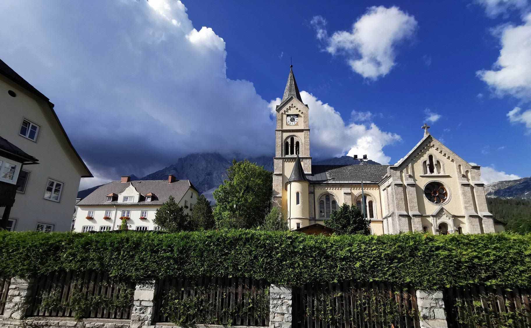
According to an inscription on an old stone, the parish church of St. Agatha was built in 1213 and rebuilt in the Gothic style in the late Middle Ages.
0
0
The church was built in the Romanesque period, according to an inscription on an old stone, in 1213.
0
0
Frequently Asked Questions
How many bus station hiking trails are available around St. Agatha?
There are over 20 hiking routes accessible directly from bus stations around St. Agatha. These trails cater to various fitness levels, with 7 easy, 14 moderate, and 4 difficult options available.
What kind of terrain can I expect on bus-accessible hikes in St. Agatha?
The region around St. Agatha features diverse terrain, from serene lakeside paths near Long Lake to more challenging mountainous sections. You can expect a mix of natural scenery and wildlife, with some trails offering significant elevation changes.
Are there any easy, circular routes from a bus station in St. Agatha?
Yes, for an easy circular route, consider the Steinhügel Stone Monument – Etzinger Hill Pyramid loop from St. Agatha. This trail is approximately 6.5 km long and offers a pleasant walk with manageable elevation.
What do other hikers enjoy most about the bus station trails in St. Agatha?
The bus station trails around St. Agatha are highly rated by the komoot community, with an average score of 4.6 stars from over 2,500 reviews. Hikers often praise the diverse natural scenery, the accessibility of the trails, and the opportunities to explore both tranquil woodlands and scenic viewpoints.
Are there any notable landmarks or viewpoints along these bus-accessible routes?
Yes, several routes offer access to interesting landmarks and viewpoints. You might encounter natural monuments like Kerzenstein or enjoy panoramic views from the Mayrhofberg Observation Tower. Some trails also lead past the historic Stauf Castle Ruins.
Can I find longer, more challenging hikes from St. Agatha's bus stations?
Absolutely. For a more challenging experience, consider routes like the Steinhügel Stone Monument – Schlögen Loop from St. Agatha. This difficult trail covers approximately 21.4 km and features significant elevation gain, offering a rewarding adventure for experienced hikers.
Are there any moderate difficulty trails that offer scenic views?
Yes, the Etzinger Hill Pyramid – Panoramic view over the Mühlviertel loop from St. Agatha is a moderate trail, around 8.2 km, known for its scenic vistas over the Mühlviertel region. It's a great option for those looking for a balanced challenge with rewarding views.
What kind of natural features can I expect to see on these hikes?
The St. Agatha region is rich in natural beauty. Many trails will take you through areas with lush natural scenery and opportunities to spot local wildlife. You can also find routes that feature impressive river formations like the Schlögen Loop or the Steinerberg Danube Loop.
Are there any specific trails that are good for exploring natural monuments?
Yes, some routes are ideal for discovering the region's natural monuments. The Kerzenstein is a notable natural monument that can be incorporated into various hiking plans, offering a unique point of interest along your journey.
What is the best time of year to hike the bus-accessible trails in St. Agatha?
St. Agatha offers beautiful hiking experiences throughout the warmer months, typically from spring through autumn, when the trails are clear and the natural scenery is at its most vibrant. The diverse landscapes, including Long Lake and mountainous terrain, are particularly enjoyable during these seasons.
Most popular routes around St. Agatha
Most popular attractions around St. Agatha

Get inspired with the komoot mobile app


Explore more
Browse the best Hikes in other regions.
