The best mountain hikes around St. Agatha
4.5
(2)
37
hikers
4
hikes
Mountaineering around St. Agatha offers a diverse landscape characterized by the dramatic meanders of the Danube River, known as the Schlögener Schlinge. The region features a mix of forested hills and river valleys, providing varied terrain for ascents and descents. Elevation gains on routes typically range from 200 to over 400 meters, offering panoramic viewpoints over the river and surrounding countryside.
Best mountaineering routes around St. Agatha
- The most popular mountaineering route is Schlögen Loop – Schlögen Loop loop from…
Last updated: July 5, 2026
5.0
(1)
14
hikers
11.8km
03:30
320m
320m
Moderate mountaineering route. Good fitness required. Easily-accessible paths. Suitable for all skill levels.
11
hikers
17.7km
05:05
410m
410m
Hard mountaineering route. Very good fitness required. Easily-accessible paths. Suitable for all skill levels.

Sign up for free
4.0
(1)
10
hikers
3.66km
01:18
200m
200m
Easy mountaineering route. Great for any fitness level. Easily-accessible paths. Suitable for all skill levels.
2
hikers
8.54km
02:43
320m
320m
Moderate mountaineering route. Good fitness required. Easily-accessible paths. Suitable for all skill levels.
Our route recommendations are based on thousands of hikes, rides, and runs completed by other people on komoot.
Start today with a free account
Your next adventure awaits.
Login or Signup
Popular around St. Agatha
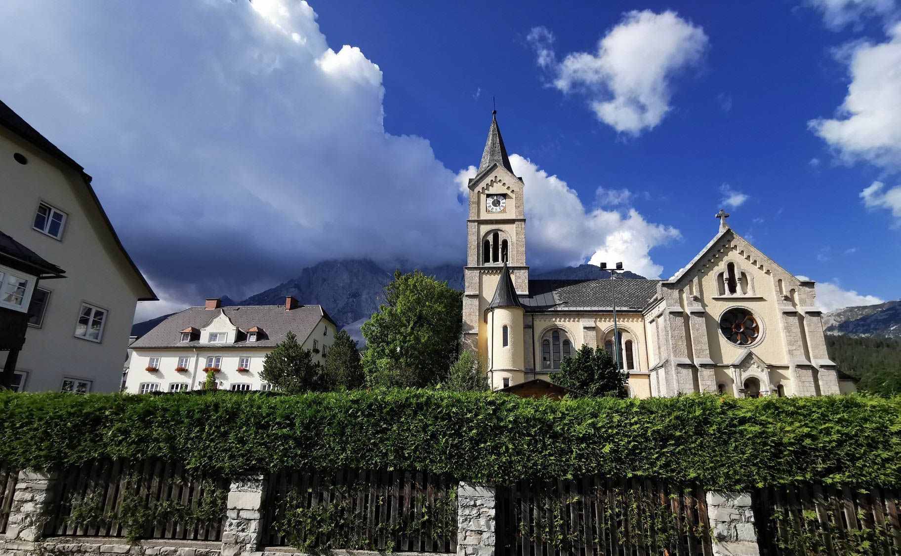
Way of the Book – Hike in the footsteps of the Bible smugglers in Austria
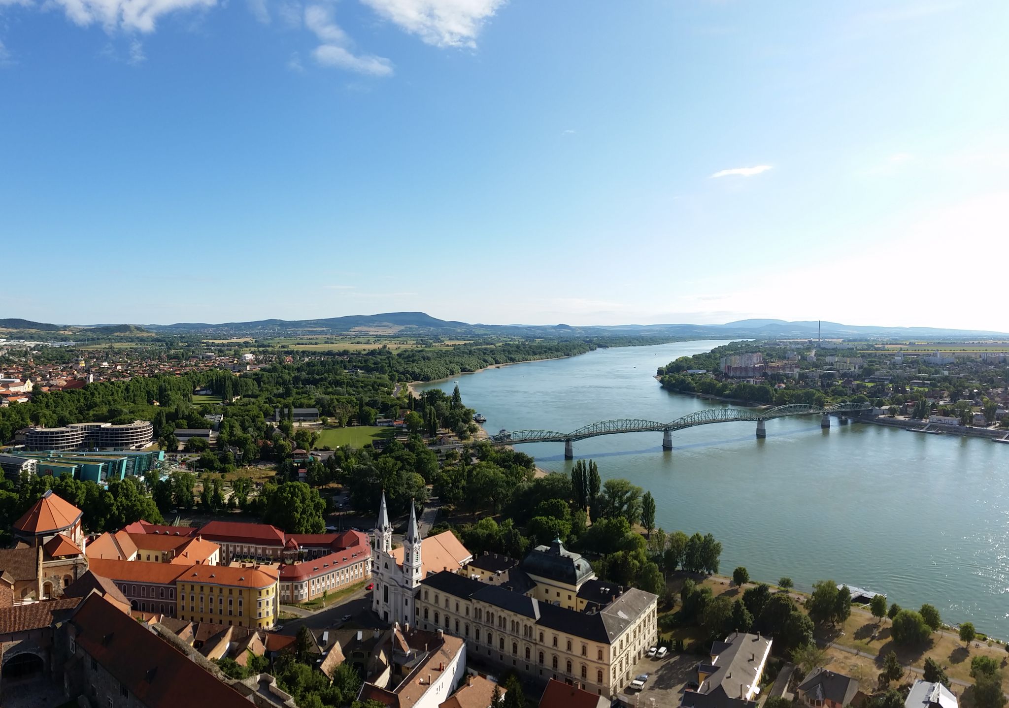
The Danube Cycle Path – From Donaueschingen to Budapest
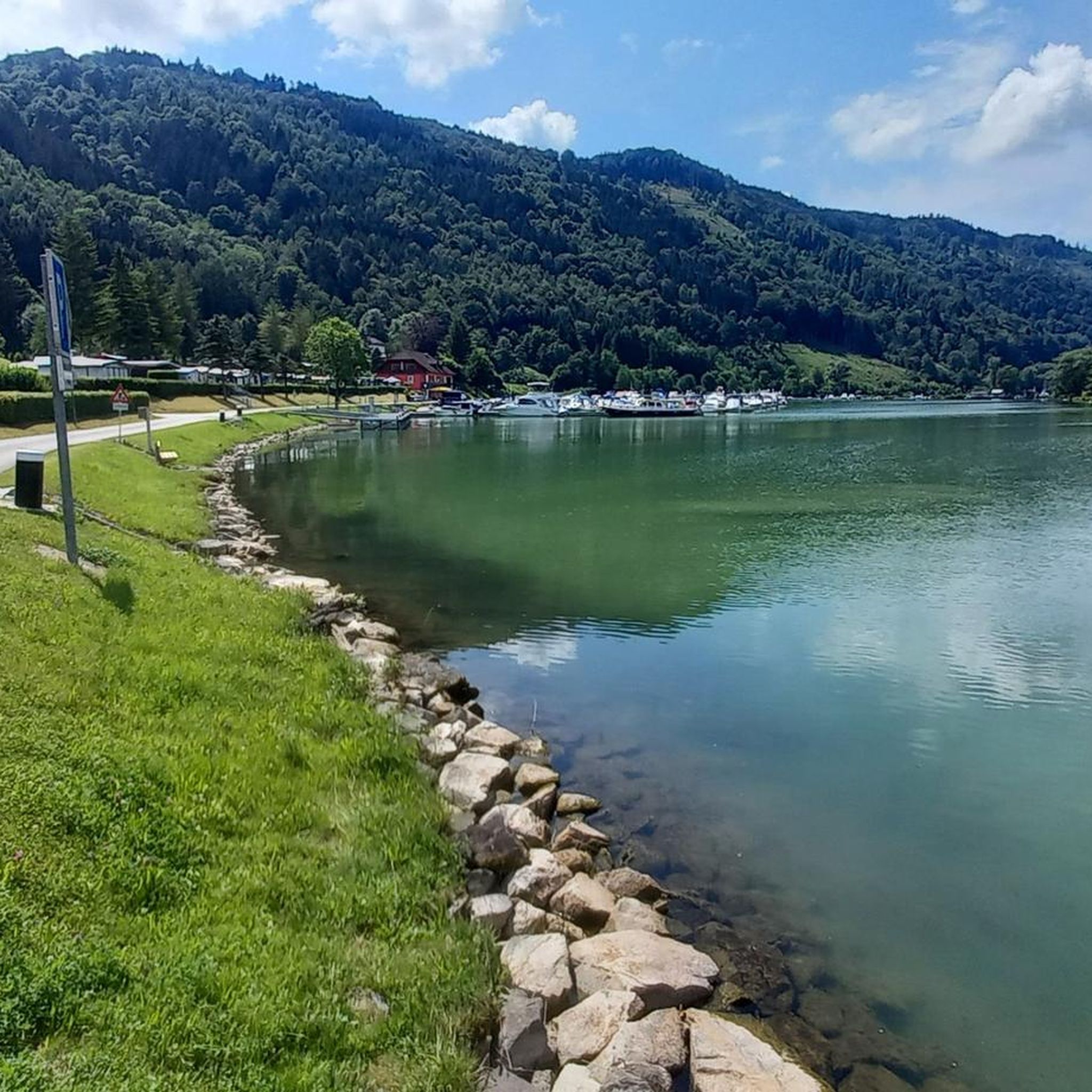
Hiking around St. Agatha
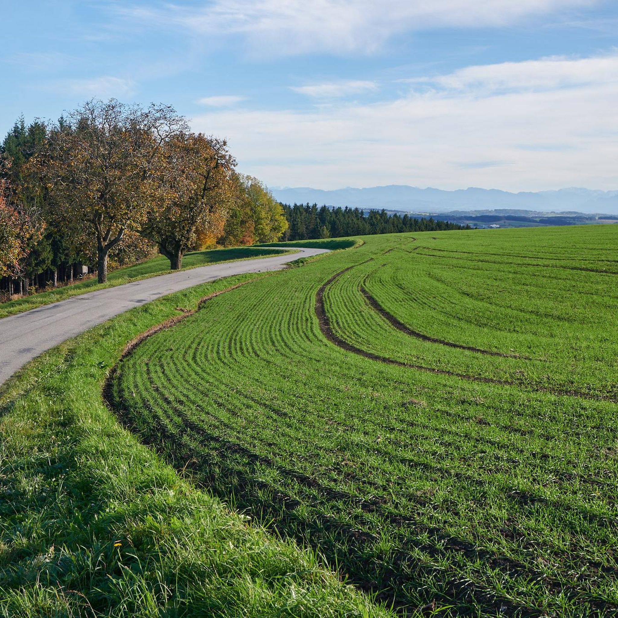
Cycling around St. Agatha
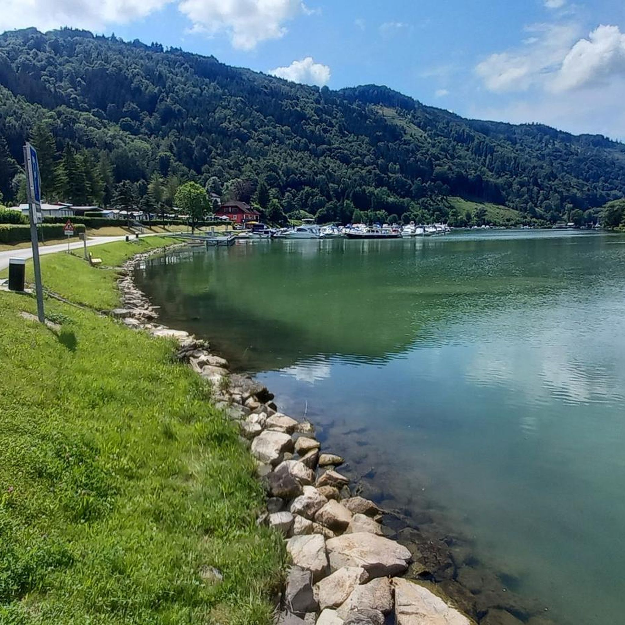
MTB Trails around St. Agatha
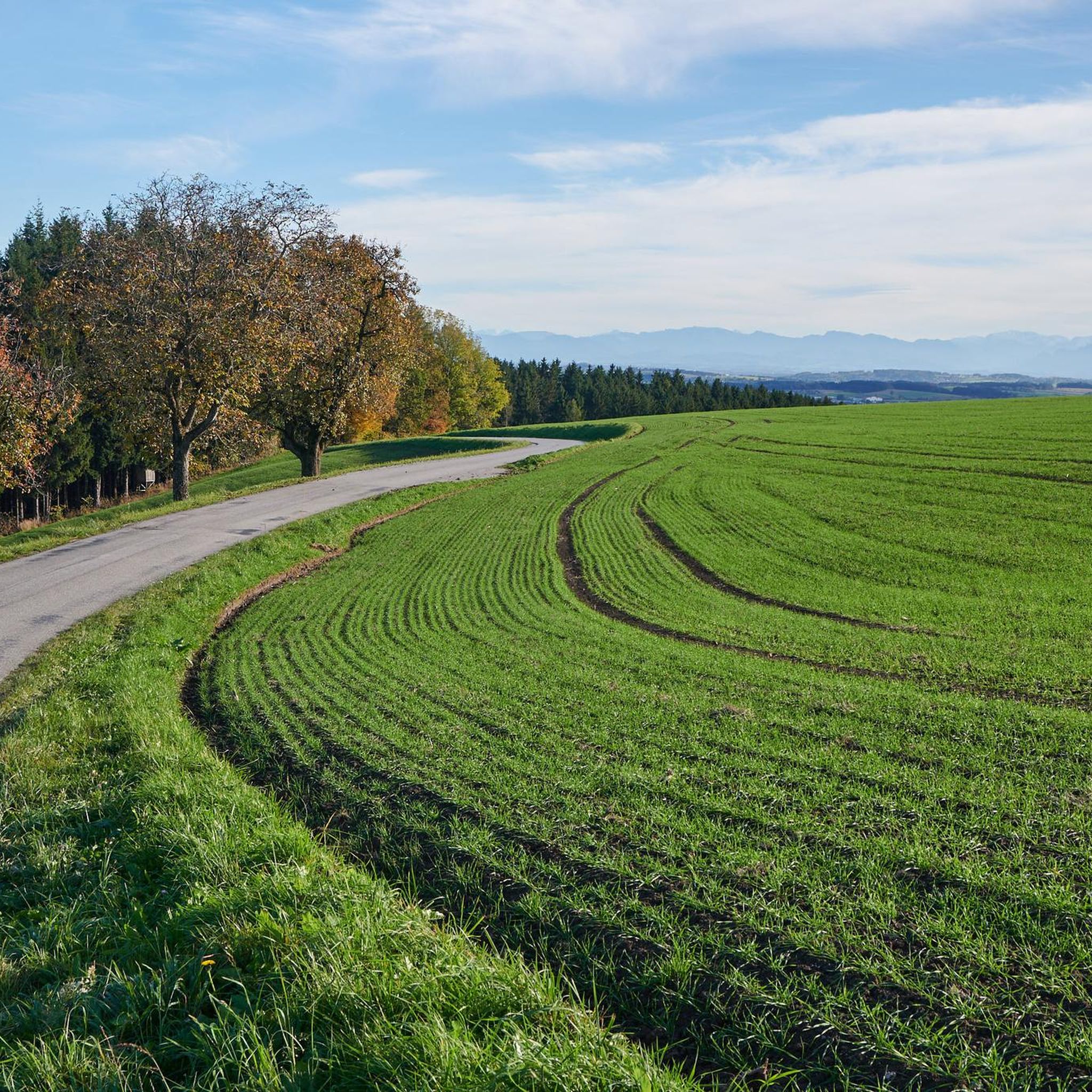
Running Trails around St. Agatha
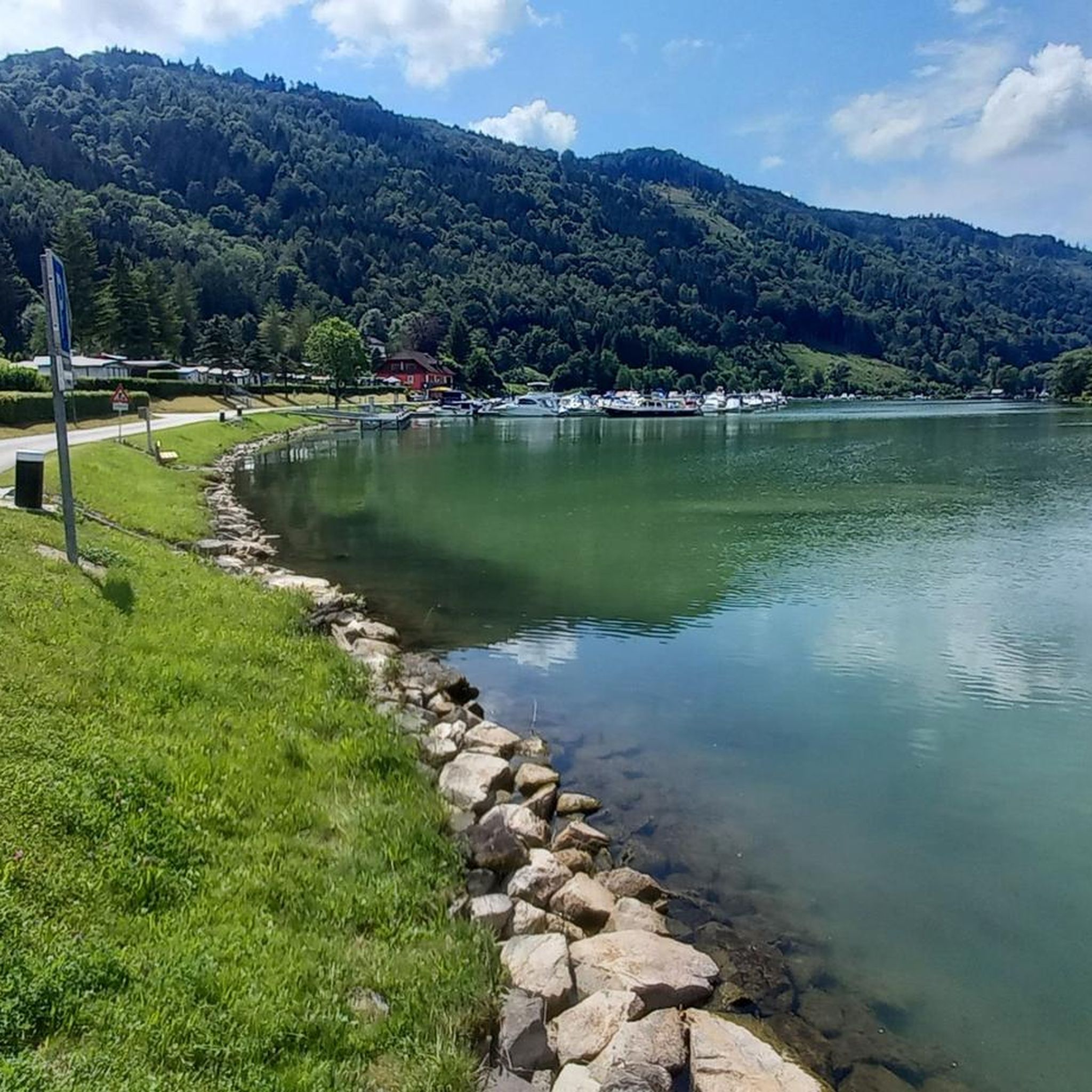
Road Cycling Routes around St. Agatha
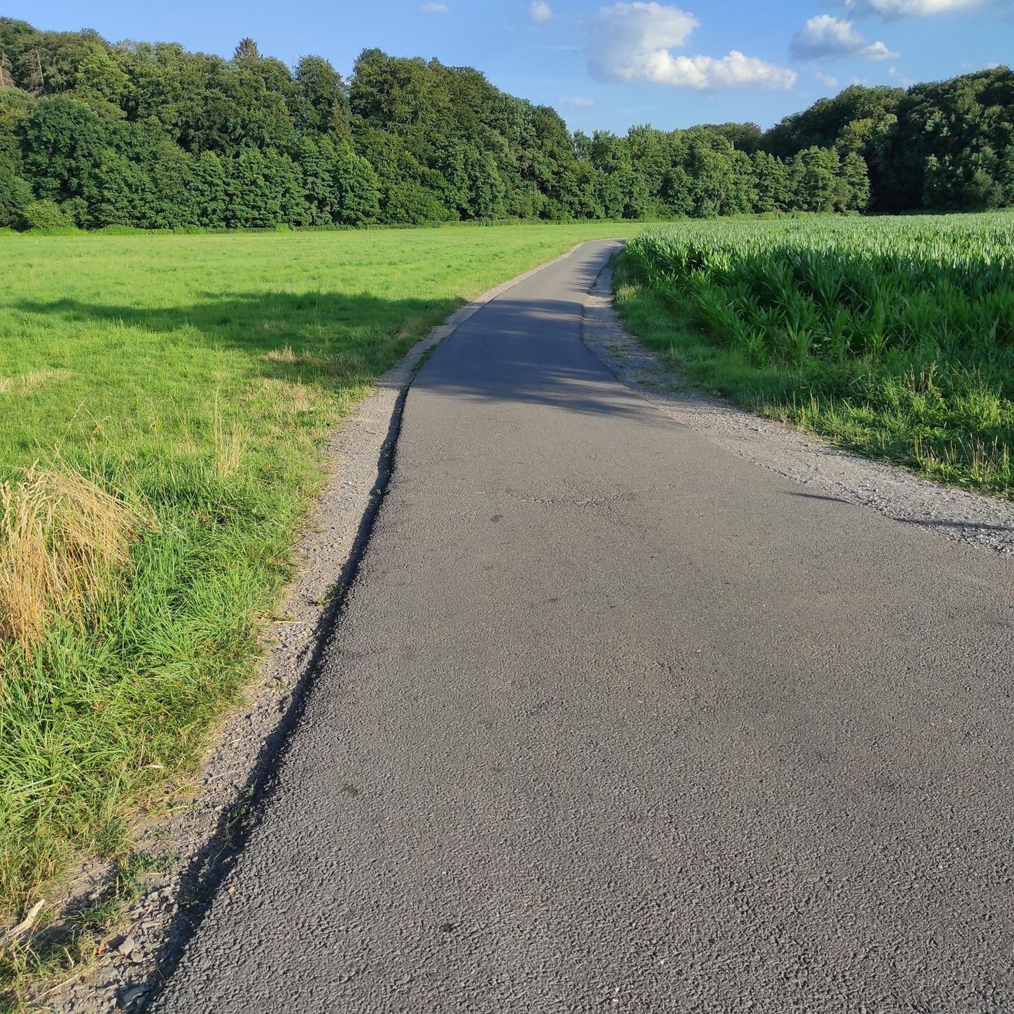
Gravel biking around St. Agatha


Tips from the Community


Beautiful viewpoint, from Inzell the path is partly quite steep and rocky.
1
0

From here you can start many hikes.
1
0
The Steinerfelsen summit invites you to rest and enjoy the beautiful view of the Danube.
1
0
The descent to the waterfall is secured with a rope, but is easy to manage with good hiking boots.
1
0

This is one of the most famous photo spots on the Danube. Definitely worth a visit 😉.
2
0

The Roman Catholic parish church of Haibach ob der Donau, dedicated to St. Ulrich, is located in the municipality of Haibach ob der Donau in the district of Eferding.
0
0

From the "Schlögener Blick" viewpoint you have a spectacular panoramic view of the loop. You can reach the viewpoint via hiking trails and it is particularly worthwhile at sunset or in the golden hour because the landscape is particularly impressive then.
5
0
Frequently Asked Questions
What is the overall difficulty level of mountaineering routes around St. Agatha?
The routes around St. Agatha offer a range of difficulties. You'll find options from easy, like the View of the Schlögener Loop loop from Schlögen, which is about 2.1 miles (3.3 km) long, to more challenging paths such as the Schlögen Loop – Schlögen Loop loop from Haibach ob der Donau, spanning 11.0 miles (17.7 km) with significant elevation changes.
Are there any circular mountaineering routes in St. Agatha?
Yes, many of the mountaineering routes in St. Agatha are designed as loops, allowing you to start and end at the same point. A popular example is the Schlögen Loop – Schlögen Loop loop from Schlögen, which offers stunning views of the Danube river bend.
What kind of natural attractions can I expect to see along the mountaineering routes?
The region is famous for the dramatic meanders of the Danube River, particularly the Schlögen Loop. You might also encounter other natural monuments like the Kerzenstein, or enjoy the scenic Steinerberg Danube Loop.
Are there any routes that feature waterfalls?
Yes, if you're looking for a route with a waterfall, consider the View of Wesenufer – Bockbach Waterfall loop from Niederranna. This moderate route includes the Bockbach Waterfall as a point of interest.
What do other mountaineers say about the routes in St. Agatha?
The mountaineering routes in St. Agatha are highly regarded by the komoot community, holding an average rating of 4.5 stars from over 2 reviews. Users often praise the diverse landscape, combining forested hills with panoramic river views, especially around the Schlögener Schlinge.
Are there good viewpoints along the trails?
Absolutely. The region is known for its panoramic viewpoints over the Danube and surrounding countryside. Notable spots include the Steinhügel Recreation Area and Observation Tower and the Mayrhofberg Observation Tower, both offering excellent vistas.
What is the best time of year for mountaineering in St. Agatha?
The best time for mountaineering in St. Agatha is generally from spring to autumn, when the weather is mild and the trails are clear. The lush greenery in spring and the vibrant colors of autumn make for particularly scenic hikes. Always check local weather conditions before heading out.
Are there any family-friendly mountaineering options?
For families, the easier routes are a great choice. The View of the Schlögener Loop loop from Schlögen is an easy 2.1-mile (3.3 km) trail that can be completed in about 1 hour 13 minutes, making it suitable for a shorter family outing.
Where can I find parking for the trailheads?
Many popular trailheads, especially around Schlögen, offer designated parking areas. For routes starting from Schlögen, you'll typically find parking facilities close to the Danube river bend. For specific routes, it's advisable to check the individual tour details on komoot for precise parking information.
Can I reach the mountaineering routes using public transport?
Public transport options to St. Agatha and nearby starting points are available, though they might require some planning. Buses often connect larger towns to smaller villages in the region. For routes along the Danube, consider checking local ferry services which can sometimes provide access to trailheads directly from the river.
Are there any cafes or places to eat near the mountaineering routes?
Yes, especially in and around the village of Schlögen, you'll find cafes and restaurants where you can refuel after your hike. These establishments often offer local cuisine and refreshments with views of the Danube.
What kind of elevation gain should I expect on these routes?
Elevation gains on routes around St. Agatha typically range from around 200 meters for easier trails to over 400 meters for more difficult ones. This provides a good workout and rewards you with expansive views over the river and surrounding landscape.
Most popular routes around St. Agatha
Most popular attractions around St. Agatha

Get inspired with the komoot mobile app


Explore more
Browse the best Mountain Hikes & Routes in other regions.
