The best hikes from bus stations around Heiligenhaus
4.5
(4064)
12,268
hikers
100
hikes
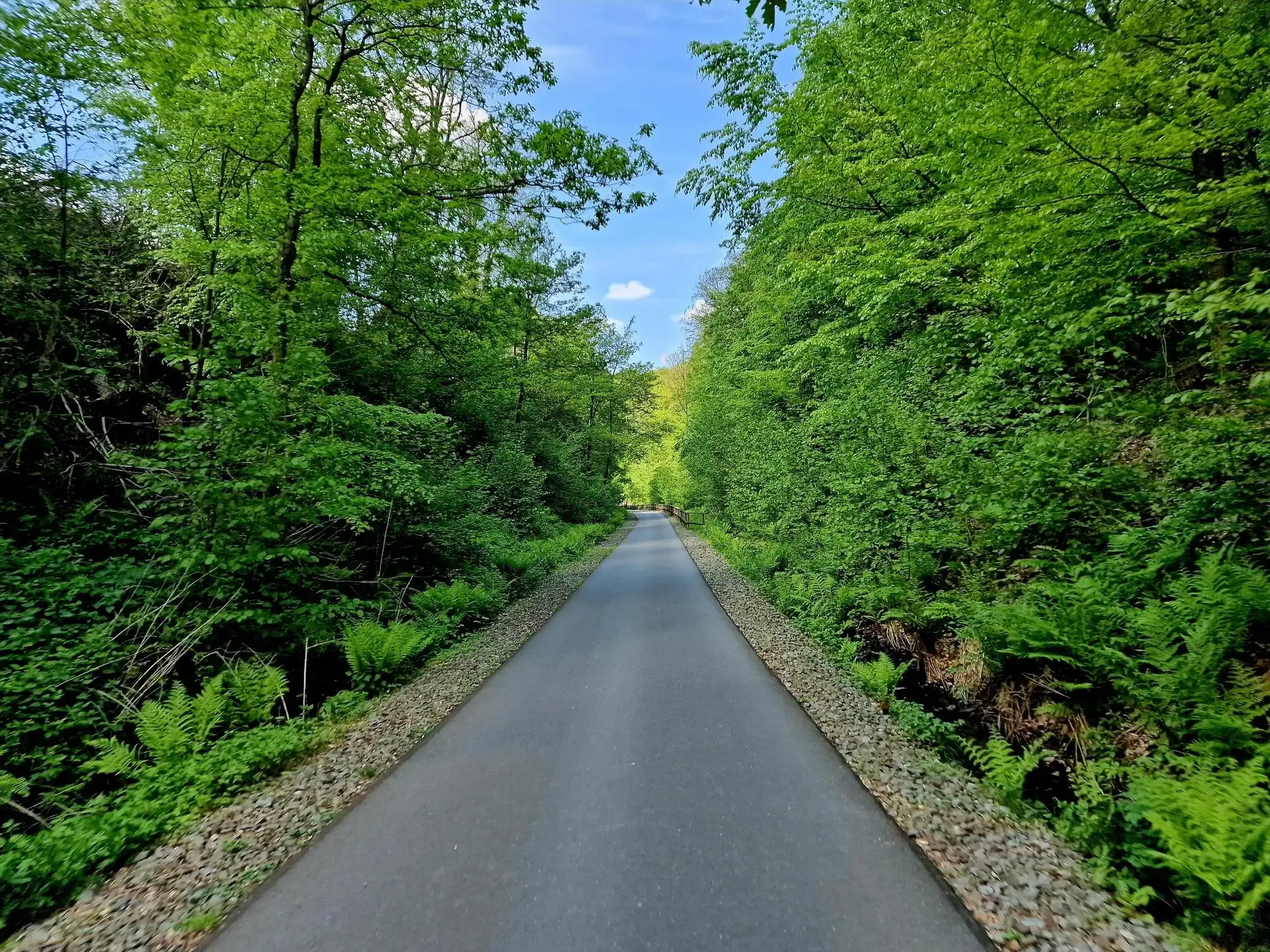
Bus station hiking trails around Heiligenhaus offer access to a varied landscape at the border of the Ruhr area and Bergisches Land. The region features deeply incised stream valleys like the Oefter Tal and Rinderbachtal, alongside extensive forests and rolling hills. Hikers can experience diverse natural environments, including near-natural streams, ancient beech stands, and panoramic views towards the Rhine and Ruhr regions. Approximately 70% of the landscape is covered by natural areas, providing a rich setting for outdoor activities.
Best…
Last updated: September 3, 2026
4.4
(74)
256
hikers
7.84km
02:10
140m
140m
Moderate hike. Good fitness required. Easily-accessible paths. Suitable for all skill levels.
4.8
(840)
2,176
hikers
8.72km
02:26
160m
160m
Moderate hike. Good fitness required. Easily-accessible paths. Suitable for all skill levels.

Sign up for free
4.7
(425)
1,247
hikers
7.17km
01:58
110m
110m
Easy hike. Great for any fitness level. Easily-accessible paths. Suitable for all skill levels.
4.9
(38)
165
hikers
15.9km
04:24
280m
280m
Moderate hike. Good fitness required. Easily-accessible paths. Suitable for all skill levels.
4.7
(58)
183
hikers
7.93km
02:11
130m
130m
Moderate hike. Good fitness required. Easily-accessible paths. Suitable for all skill levels.
Get access to more routes and recommendations from other explorers.
Sign up for free
Already have an account?
Our route recommendations are based on thousands of hikes, rides, and runs completed by other people on komoot.
Start today with a free account
Your next adventure awaits.
Login or Signup
Popular around Heiligenhaus
Other adventures around Heiligenhaus

Tips from the Community

🌳🌲🌿The expansive panorama is a true feast for the eyes & a great photo point 🎨🖌💚📸. 🎨🖌Apart from the changing agricultural use of the fields, then the seasons🍃🍂🌨- a constantly fascinating and changing panorama picture 🎨🖌🤗.
2
0
🥾🥾Located directly on the Neanderlandsteig- 🍴🍺Café Herberge a great stop within a natural paradise🎨🖌🌲🌊. 🍰☕️Homemade cake really good with nice service 👍🏻👌🏼. 🌳🌲🌿The expansive panorama is a feast for the eyes & great photo point 🎨🖌💚📸.
4
1
🌲🌳Wonderfully shaded & pleasantly cool here🤗 - a refreshing spot, especially in the warmer months🌡🌞. 🌊With its rushing stream of crystal-clear water and some seating, it's an idyllically charming place for nature lovers🤗.
4
0

The stream, which originates in Velbert, is known to locals as Vogelsangbach, named after the Heiligenhaus district. It is beautiful there. Over its almost 12 kilometers to its mouth in the Ruhr, it loses over 200 meters in altitude.
0
0

The Oefter Bachtal nature reserve in southern Essen (near Kettwig/Heidhausen) is an idyllic stream valley of approximately 87 hectares with a near-natural stream course, riparian forests, and old beech stands. It is home to rare species such as the kingfisher and the dipper. The area is a popular hiking destination with steep slopes and small side valleys. The Oefter Bach is a 4.8 km long, left-bank tributary of the Ruhr River in North Rhine-Westphalia.
1
0
The Oefter Tal nature reserve in southern Essen offers idyllic circular hiking trails through the forest and along the Oefter Bach stream. Popular routes include the 7.6 km tour starting in Herrenburg (approx. 2-2.5 hours), the 8.8 km "Auenland Loop," or the shorter 5.6 km loop. The trails are often hilly, lead through wooded valleys, and offer views of the Ruhr River.
1
0
The Oefter Bach is a 4.8 km long, orographically left tributary of the Ruhr River in North Rhine-Westphalia, flowing along the bottom of a deeply incised valley. The actual floodplain is only between forty and one hundred meters wide. Moisture-loving stands of alder and poplar extend across the valley floor. The rather steep valley slopes are predominantly covered with beech, pedunculate oak, and other tree species, some of which are 120 to 150 years old. Numerous small side valleys with narrow streams feed the Oefter Bach.
1
0
The area is considered a valuable part of the lower Ruhr valley and is ideal for quiet walks and nature observation.
1
0
Frequently Asked Questions
How many hiking trails are accessible by bus in Heiligenhaus?
Heiligenhaus offers over 100 hiking routes that are conveniently accessible from various bus stations. These trails cater to a range of abilities, with many easy and moderate options available for exploration.
Are there any easy bus-accessible hikes suitable for beginners or families in Heiligenhaus?
Yes, Heiligenhaus has numerous easy trails perfect for beginners or families. The Rindersbach Trails – Abtskücher Pond loop is an excellent easy option, offering scenic views around the pond. The region also features the Fairytale Forest Trail, specifically designed to be child-friendly.
What kind of landscapes can I expect on bus station hikes around Heiligenhaus?
Hiking from Heiligenhaus bus stations will lead you through a diverse landscape. You'll encounter picturesque forests, rolling hills, and idyllic stream valleys like the Oefter Tal, Rinderbachtal, and Vogelsangbachtal. Many routes offer panoramic views towards the Rhine and Ruhr regions, as well as into the Bergisches Land.
Are there circular hiking routes accessible by bus in Heiligenhaus?
Absolutely. Many of the trails accessible by bus in Heiligenhaus are circular routes, making them convenient for day trips. The Heiligenhaus Discovery Loop is a popular moderate circular trail that showcases diverse scenery and natural beauty.
Can I bring my dog on the bus-accessible hiking trails in Heiligenhaus?
Most hiking trails in Heiligenhaus are dog-friendly, allowing you to enjoy the natural surroundings with your canine companion. Always ensure your dog is kept on a leash, especially in nature reserves like the Oefter Tal, and be mindful of local regulations and other hikers.
What are some notable natural attractions or points of interest along these trails?
Along the bus-accessible trails, you can discover several natural highlights. The Lake Baldeney is a significant natural monument nearby. You can also explore the tranquil Forest Path Along the Rosentalbach or the scenic Trail along the Düssel in Neandertal. The Abtskücher Pond is another beautiful spot, often featuring a farm café with views.
Are there any longer, more challenging bus-accessible hikes for experienced hikers?
For those seeking a longer challenge, the Rindersbach Trails – View from Isenbügeler Kopf loop offers a moderate, nearly 16 km route with significant elevation changes. Heiligenhaus is also part of the Neanderlandsteig, a long-distance trail with more demanding sections.
What do other hikers enjoy most about the bus-accessible trails in Heiligenhaus?
The komoot community highly rates the trails around Heiligenhaus, with an average score of 4.6 stars from over 3,600 ratings. Hikers frequently praise the region's diverse landscapes, well-maintained paths, and the stunning panoramic views, especially those found on routes like the Panorama Trail.
Are there opportunities for wildlife spotting on hikes from Heiligenhaus bus stations?
Yes, the varied ecosystems of Heiligenhaus, particularly in the stream valleys and riparian forests, provide excellent opportunities for wildlife spotting. The Oefter Tal nature reserve, for instance, is home to rare species such as the kingfisher and dipper, making it a great place to observe local fauna.
Can I find places to eat or drink near the bus-accessible hiking trails?
Yes, Heiligenhaus offers several options for refreshments. The Abtskücher Pond area features a farm café with scenic views. Additionally, the town's cultural offerings include local cafés that provide pleasant diversions for hikers after their adventures.
What is the best time of year to hike from bus stations in Heiligenhaus?
Heiligenhaus is enjoyable for hiking year-round. Spring and autumn are particularly beautiful, with vibrant foliage and comfortable temperatures. The Panorama Trail is especially known for its breathtaking vistas during these seasons. Even in winter, the trails can offer a unique, tranquil experience, though appropriate gear is recommended.
Most popular routes around Heiligenhaus
Most popular attractions around Heiligenhaus

Get inspired with the komoot mobile app


Explore more
Browse the best Hikes in other regions.
