The best hikes from bus stations around Thalmässing
4.5
(663)
2,592
hikers
143
hikes
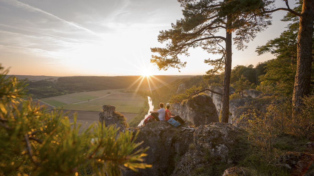
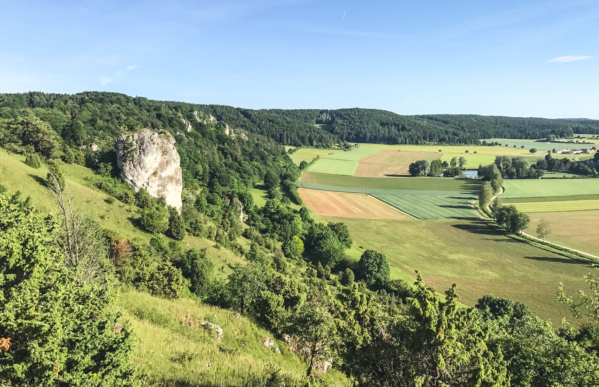
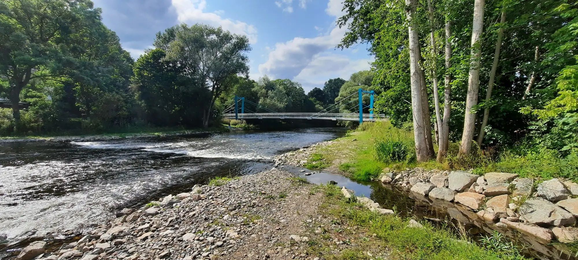
Bus station hiking trails around Thalmässing offer diverse landscapes within the Altmühltal Nature Park. The region features Jura heights, extensive wooded areas, and the scenic Thalachtal valley. Hikers can explore paths along the Thalach and Roth rivers, through varied forests and meadows, providing a range of experiences.
Best bus station hiking trails around Thalmässing
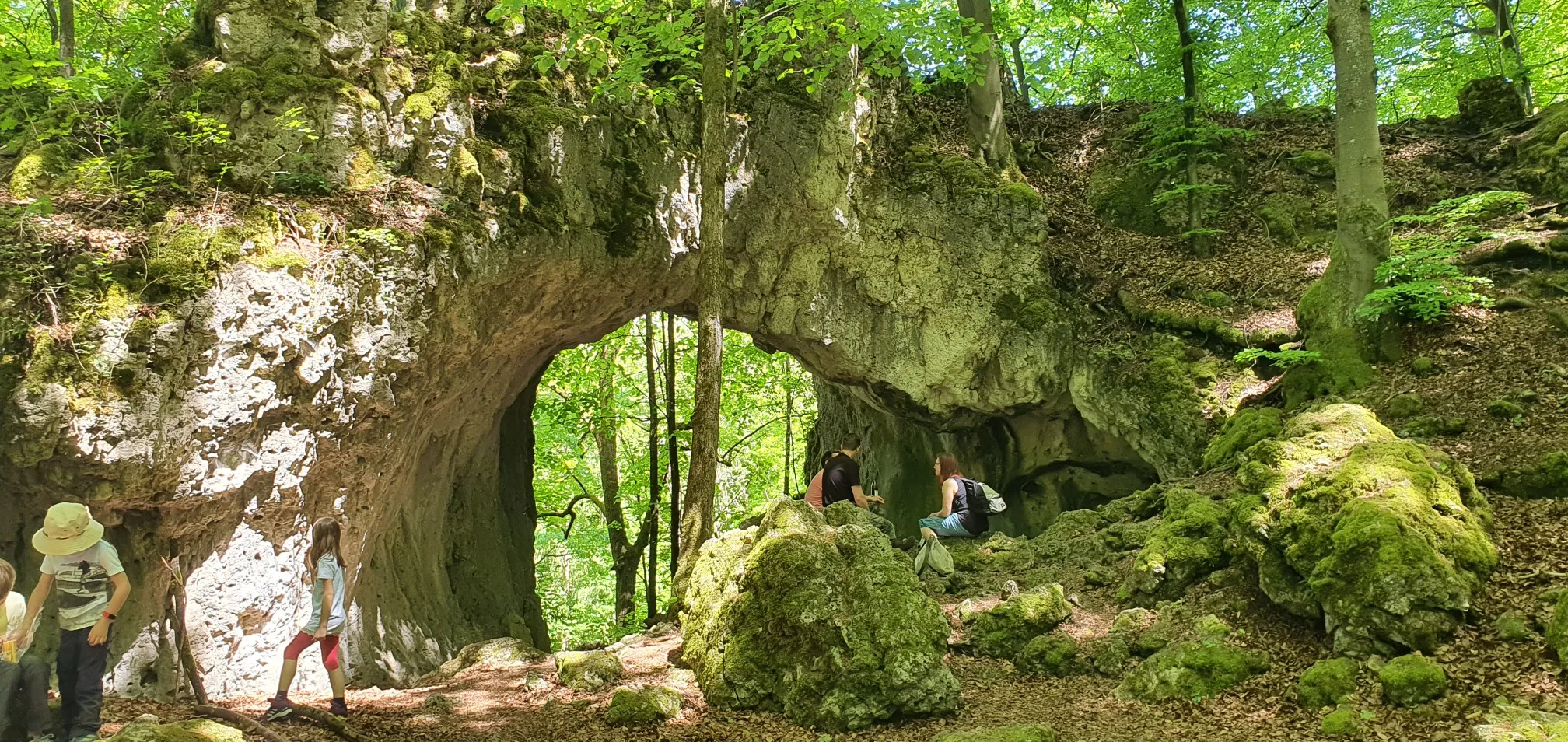
- The most popular bus station hiking route is Vorgeschichtsweg (Prehistory Trail) – Altmühltal Nature Park, a 7.6 miles (12.3 km) trail that takes 3 hours…
Last updated: October 14, 2026
4.7
(146)
470
hikers
12.3km
03:23
200m
200m
Moderate hike. Good fitness required. Easily-accessible paths. Suitable for all skill levels.
4.7
(55)
202
hikers
7.98km
02:16
180m
180m
Moderate hike. Good fitness required. Easily-accessible paths. Suitable for all skill levels.

4.7
(56)
202
hikers
Moderate hike. Good fitness required. Easily-accessible paths. Suitable for all skill levels.
4.7
(23)
96
hikers
20.9km
05:59
490m
490m
Hard hike. Very good fitness required. Easily-accessible paths. Suitable for all skill levels.
4.7
(13)
51
hikers
Moderate hike. Good fitness required. Easily-accessible paths. Suitable for all skill levels.
Get access to more routes and recommendations from other explorers.
Already have an account?
Our route recommendations are based on thousands of hikes, rides, and runs completed by other people on komoot.

Other adventures around Thalmässing


Tips from the Community

Small but fine ethnographic museum, partly with interactive elements, nice staff and all that for a very affordable entrance fee.
0
0

View over Thalmässing to the Staufer Sattel
0
0

Added to the collection: https://www.komoot.com/de-de/collection/3600632/-naturdenkmaeler-besondere-baeume-und-weitere-schaetze-der-natur
1
0

Starting point for the Thalmässing Fun Hiking Trail 2 (10km)
0
0

Worth seeing and striking tree right next to the rest area;
0
0
I did find a rock cellar at this location, but it looked very different.
0
0

With a rest area and a brick barbecue station on the northern outskirts of Waizenhofen.
0
0
Frequently Asked Questions
How many bus station hiking trails are available around Thalmässing?
There are over 130 hiking trails accessible from bus stations around Thalmässing, offering a wide range of options for all skill levels. You'll find 59 easy routes, 77 moderate, and 3 challenging trails.
What kind of landscapes can I expect on bus-accessible hikes in Thalmässing?
The bus-accessible trails in Thalmässing traverse diverse landscapes, including impressive Jura heights with panoramic views, serene wooded areas, and the picturesque Thalachtal valley. You'll also encounter paths along the Thalach and Roth rivers, lush meadows, and unique hedges that characterize the region.
Are there any family-friendly bus station hikes in Thalmässing?
Yes, Thalmässing offers several easy routes perfect for families. A great option is the Picnic Area by the Spruce Tree – Four-Trunked Spruce loop from Thalmässing, which is an easy 6.5 km trail ideal for a relaxed outing.
Which bus station trails offer historical or cultural points of interest?
For a journey through history, consider the Vorgeschichtsweg (Prehistory Trail). This moderate 12.3 km route takes you over Jura heights to significant settlement and burial sites from the Stone Age to the Iron Age. Another option is the Joh Denzler Linden Tree – Historic Beer Cellar Caves loop from Thalmässing, which combines natural beauty with cultural sights.
Are there any circular routes starting from bus stations in Thalmässing?
Many of the trails are circular, making them convenient for public transport users. For example, the Historic Beer Cellar Caves – Joh Denzler Linden Tree loop from Thalmässing is a moderate 9.2 km circular route that brings you back to your starting point.
What are some notable natural attractions or viewpoints accessible from bus station hikes?
You can discover several natural attractions. The region's Jura heights offer impressive viewpoints, sometimes even reaching the Alps on clear days. The Lower Felsenkeller Thalmässing and other fascinating caves like the Ice Cave in Altmühl Valley Nature Park are also accessible. Additionally, the Stone Channel near Rohrbach is a unique natural monument.
What is the best time of year to hike the bus-accessible trails in Thalmässing?
The best seasons for hiking in Thalmässing are spring and autumn. During these times, the mild climate and vibrant colors of the landscape, especially the Streuobstwiesen (orchards) in bloom or autumn foliage, enhance the natural beauty of the trails.
Are there any challenging bus station hikes for experienced hikers?
Yes, for those seeking a more demanding experience, the Auer Berg – View of the Thalachtal Valley loop from Kleinhöbing is a difficult 21 km route with significant elevation changes, offering rewarding views of the Thalachtal valley.
What do other hikers enjoy most about the bus station trails in Thalmässing?
The komoot community highly rates the hiking experience in Thalmässing, with an average score of 4.6 stars from over 540 ratings. Hikers often praise the well-maintained trails, the diverse scenery ranging from Jura heights to river valleys, and the rich historical context found along many routes.
Are there any educational trails accessible by bus in the Thalmässing area?
Yes, between Alfershausen and Thalmässing, along the Thalach river, you can find the Biberlehrpfad (Beaver Nature Trail). This educational trail allows visitors to learn about the fascinating life of beavers in their natural habitat.
Most popular routes around Thalmässing
Most popular attractions around Thalmässing

Get inspired with the komoot mobile app


Explore more
Browse the best Hikes in other regions.
