The best walks and hikes around Thalmässing
4.5
(663)
2,582
hikers
174
hikes
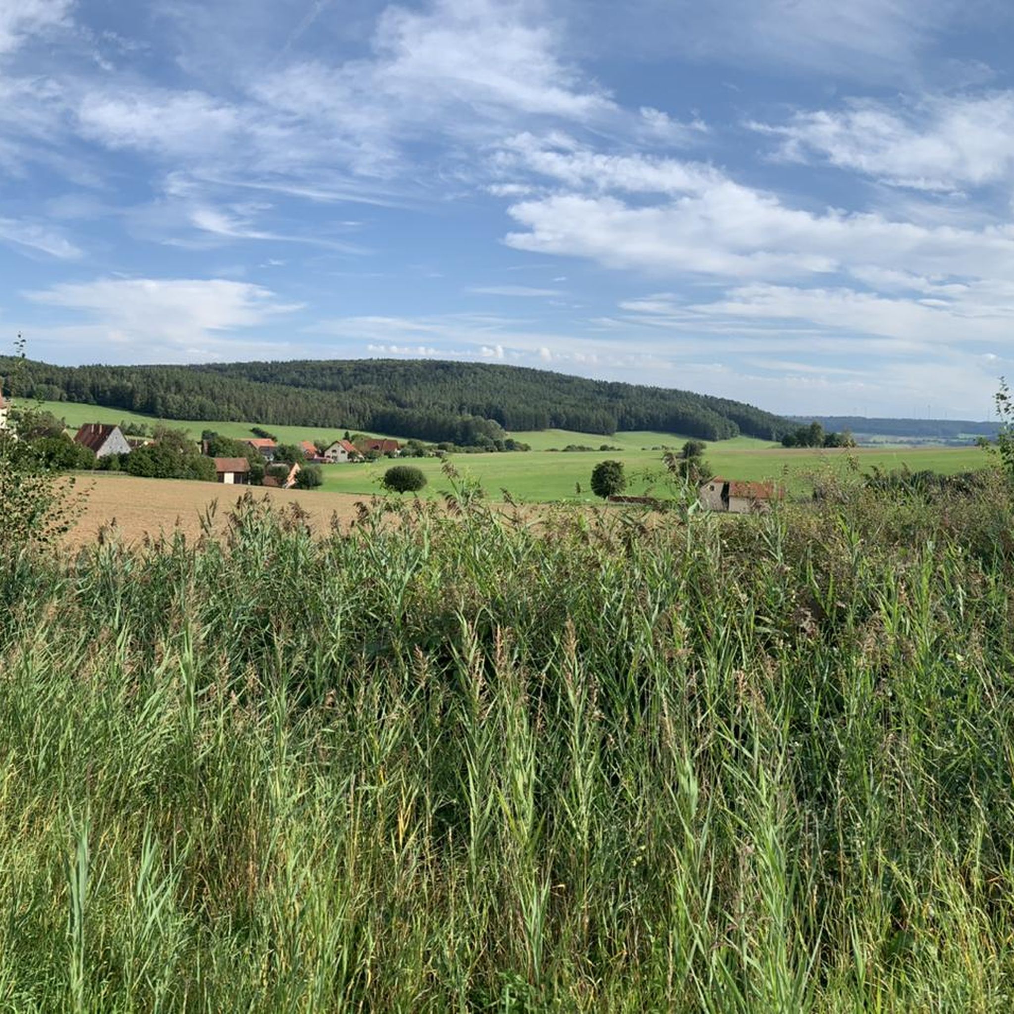
Hiking around Thalmässing offers diverse landscapes within the Altmühltal Nature Park, characterized by Jura heights, wooded areas, and the Thalachtal valley. The region features a network of trails that traverse idyllic forests, lush meadows, and river valleys. Hikers can explore varied terrain, from elevated viewpoints offering panoramic vistas to paths alongside the Roth river. The area's geology includes impressive Jura formations, providing a scenic backdrop for outdoor activities.
Best hiking trails around Thalmässing
- The most popular hiking route is Vorgeschichtsweg…
Last updated: August 23, 2026
4.7
(141)
459
hikers
12.3km
03:23
200m
200m
Moderate hike. Good fitness required. Easily-accessible paths. Suitable for all skill levels.
4.7
(55)
202
hikers
7.98km
02:16
180m
180m
Moderate hike. Good fitness required. Easily-accessible paths. Suitable for all skill levels.

Sign up for free
4.7
(56)
202
hikers
Moderate hike. Good fitness required. Easily-accessible paths. Suitable for all skill levels.
4.7
(23)
96
hikers
20.9km
05:59
490m
490m
Hard hike. Very good fitness required. Easily-accessible paths. Suitable for all skill levels.
4.8
(23)
84
hikers
Easy hike. Great for any fitness level. Easily-accessible paths. Suitable for all skill levels.
Get access to more routes and recommendations from other explorers.
Sign up for free
Already have an account?
Our route recommendations are based on thousands of hikes, rides, and runs completed by other people on komoot.
Start today with a free account
Your next adventure awaits.
Login or Signup
Popular around Thalmässing
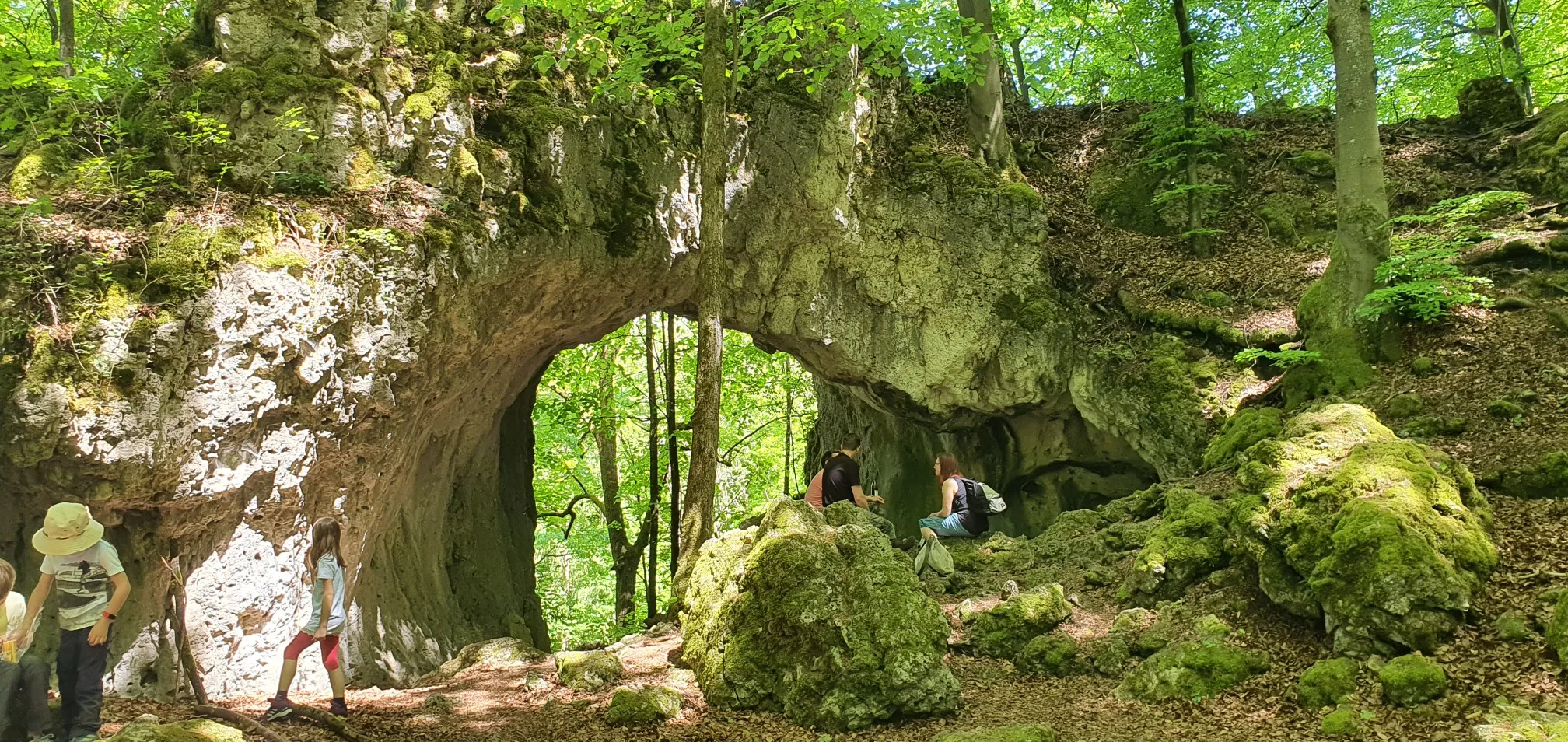
Catch the bus and train into nature – VGN Leisure Tips 2023
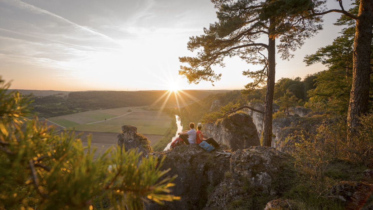
Wonderful nature and endless variety – Altmühltal Nature Park

The Franconian Trail – A Diverse Hiking Dream Across 24 Stages
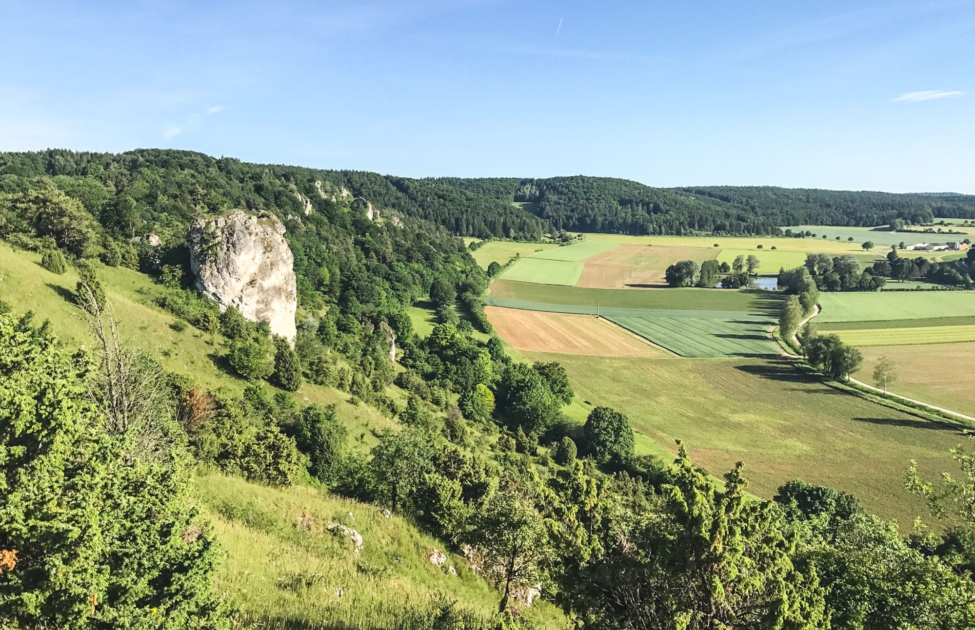
Between Altmühltal & Spruce Mountains – hiking in Franconia
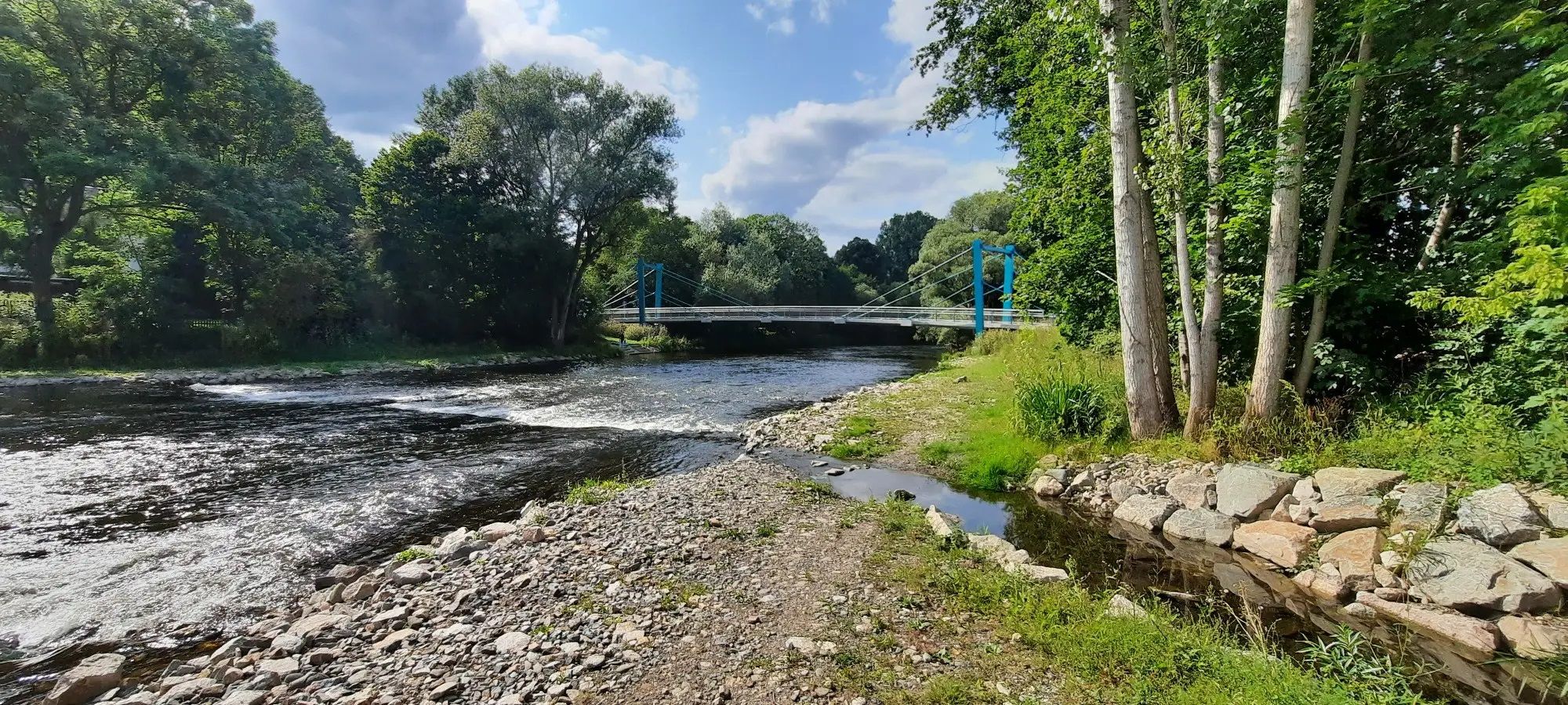
D-Route 11 – Baltic Sea - Upper Bavaria
Cycling around Thalmässing
Road Cycling Routes around Thalmässing
Gravel biking around Thalmässing
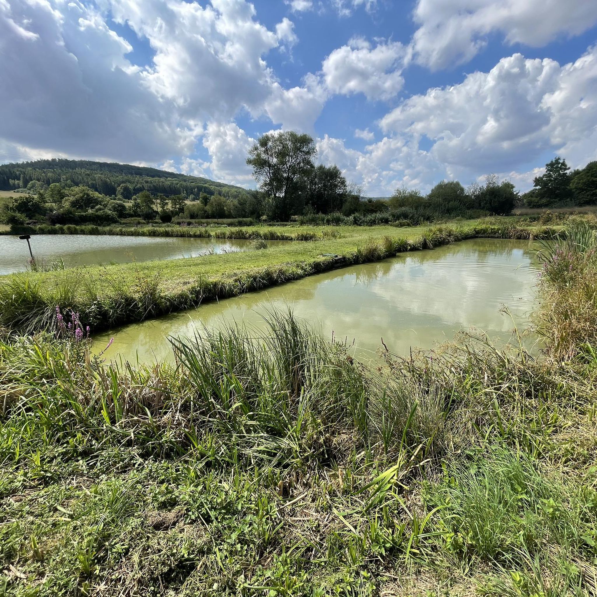
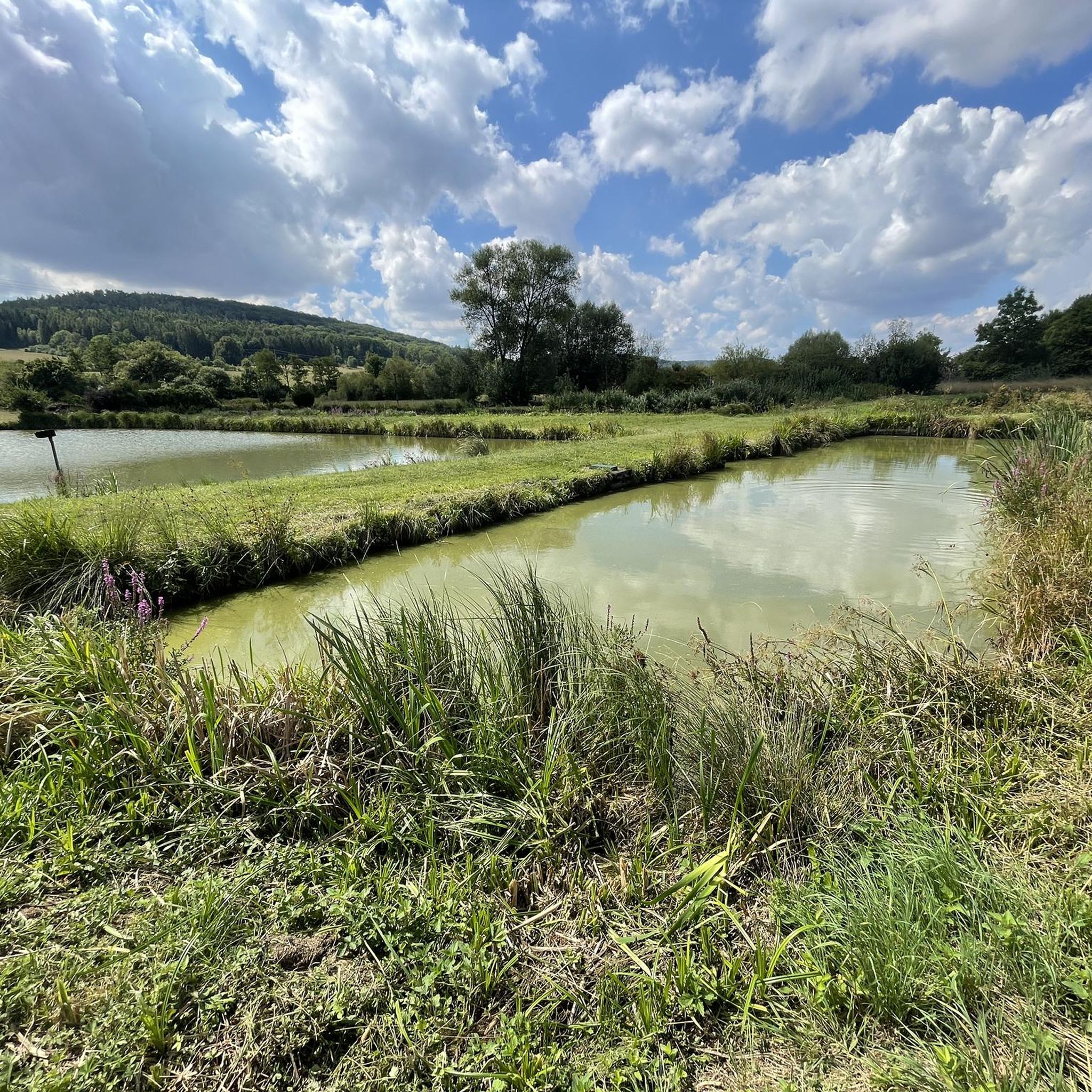
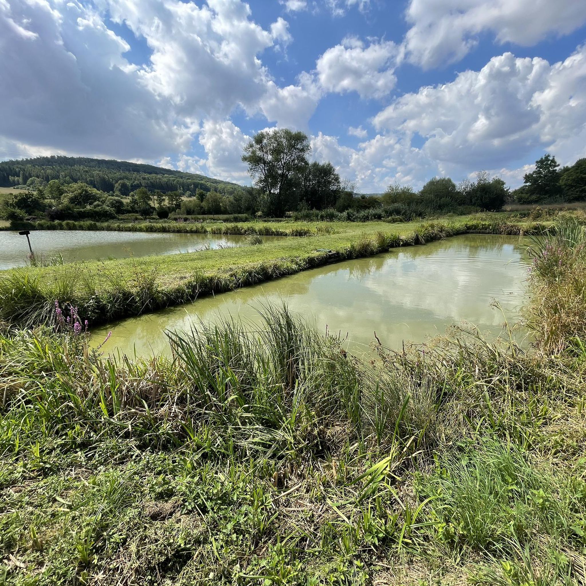
MTB Trails around Thalmässing
Running Trails around Thalmässing
Other adventures around Thalmässing


Tips from the Community

Small but fine ethnographic museum, partly with interactive elements, nice staff and all that for a very affordable entrance fee.
0
0

View over Thalmässing to the Staufer Sattel
0
0

I did find a rock cellar at this location, but it looked very different.
0
0

As you hike up the mountain, this striking linden tree really catches your eye.
0
0
The museum has different opening hours in autumn and winter and is usually only open on weekends. However, it offers tours on the archaeological hiking trails throughout the year.
0
0
A little variety along the many hiking trails around Thalmässing
0
0
Beautiful town center of Thalmässing.
0
0
Frequently Asked Questions
How many hiking trails are available around Thalmässing?
Thalmässing boasts an extensive network of over 170 marked hiking trails, catering to various preferences and fitness levels. These include easy strolls, moderate excursions, and a few more challenging routes, ensuring there's something for everyone.
Are there any family-friendly hiking options in Thalmässing?
Yes, Thalmässing offers several family-friendly trails. The region has many easy routes, with 83 trails classified as easy. For a playful experience, consider the "Spasswanderweg" (Fun Hiking Trail), which features humorous and interesting installations across routes of varying lengths. A good example of an easy loop is the View from Reuther Platte – Landersdorf Living History Village loop from Landersdorf, which is 3.3 miles long and takes about 1 hour 26 minutes.
What kind of terrain can I expect on hikes around Thalmässing?
Hiking around Thalmässing offers diverse terrain. You'll encounter impressive Jura heights with panoramic views, idyllic forests, lush meadows, and paths along river valleys like the Roth. Some trails, such as the "Vorgeschichtsweg", explore the Jura landscape with significant settlement and burial sites, while others like the "Thalachtal Panorama Trail" provide elevated vistas into the valley.
Are there any circular hiking routes in Thalmässing?
Yes, many of the trails in Thalmässing are circular, providing convenient options for hikers. For instance, the Joh Denzler Linden Tree – Historic Beer Cellar Caves loop from Thalmässing is a moderate 5.0-mile path that takes you past historic beer cellar caves and a notable linden tree.
What historical or archaeological sites can I explore while hiking?
Thalmässing's trails are rich in history. The Vorgeschichtsweg (Prehistory Trail) explores the Jura landscape to Stone and Iron Age burial fields. The "Keltenweg" (Celtic Way) leads to early medieval sites, including a central Celtic settlement on the Reuther Platte. You can also find castle ruins like Burgstall Landeck and Burg Stauf along various routes.
Are there any natural attractions or scenic viewpoints along the trails?
Absolutely. The region is known for its natural beauty. The Jura heights offer panoramic views, and the "Thalachtal Panorama Trail" provides wonderful vistas into the Thalmässing valley. You can also find natural monuments like the Stone Channel near Rohrbach and the Kaisinger Travertine Terraces. The "Mill Path" follows the picturesque Roth river, showcasing idyllic forests and magnificent ponds.
What is the best time of year to go hiking in Thalmässing?
Thalmässing offers enjoyable hiking experiences across multiple seasons. Spring and autumn are particularly pleasant for their mild temperatures and vibrant natural colors. The diverse forests and meadows provide beautiful backdrops throughout these seasons. Even winter hiking can be an option, though conditions should be checked.
Are there any lakes or water features accessible from the hiking trails?
Yes, the region is close to the Franconian Lakes District. The "Mill Path" follows the Roth river, connecting to areas around Roth and Hilpoltstein, and showcases magnificent ponds. The nearby Rothsee, including its South Shore, offers additional recreational opportunities and can be reached from some routes.
What do other hikers say about the trails in Thalmässing?
The routes in Thalmässing are highly regarded by the komoot community, with an impressive average score of 4.6 stars from over 540 reviews. Hikers often praise the diverse landscapes, the well-marked trails, and the rich historical context that makes each hike an engaging experience.
Is there parking available at the trailheads in Thalmässing?
Yes, many hiking trails in Thalmässing offer convenient parking options at or near their starting points. The region is well-equipped to accommodate visitors arriving by car, making it easy to access the various routes.
Can I reach hiking trails in Thalmässing using public transport?
While specific public transport connections to every trailhead may vary, Thalmässing itself is accessible. It's advisable to check local bus schedules or regional transport options to plan your journey to the main town or specific trail starting points if you intend to use public transport.
Are there any particularly challenging hikes for experienced hikers?
While most trails are easy to moderate, Thalmässing does offer a few more challenging options. For instance, the Auer Berg – View of the Thalachtal Valley loop from Kleinhöbing is a difficult 21 km route with significant elevation gain, providing a more strenuous experience for seasoned hikers.
Most popular routes around Thalmässing
Most popular attractions around Thalmässing

Get inspired with the komoot mobile app


Explore more
Browse the best Hikes in other regions.
