The best hikes from bus stations in Sud Sardegna
4.4
(5899)
30,082
hikers
57
hikes
Hiking in Sud Sardegna offers diverse landscapes, from rugged coastlines and pristine beaches to mountainous interiors and ancient forests. The region features significant geological formations, including limestone canyons and unique historical mining areas. Trails traverse a variety of terrains, providing opportunities to explore both natural beauty and industrial heritage.
Best bus station hiking trails in Sud Sardegna
- The most popular bus station hiking route is Cala Lunga da Buggerru — Ring tour, a 8.4 miles (13.5 km) trail that…
Last updated: July 11, 2026
4.6
(24)
85
hikers
13.5km
04:02
410m
410m
Moderate hike. Good fitness required. Mostly accessible paths. Sure-footedness required.
4.8
(67)
287
hikers
12.5km
03:24
190m
190m
Moderate hike. Good fitness required. Easily-accessible paths. Suitable for all skill levels.

Sign up for free
4.7
(45)
201
hikers
17.4km
04:45
270m
270m
Moderate hike. Good fitness required. Easily-accessible paths. Suitable for all skill levels.
4.7
(15)
42
hikers
12.2km
03:12
110m
110m
Moderate hike. Good fitness required. Easily-accessible paths. Suitable for all skill levels.
4.0
(4)
51
hikers
Easy hike. Great for any fitness level. Easily-accessible paths. Suitable for all skill levels.
Get access to more routes and recommendations from other explorers.
Sign up for free
Already have an account?
Our route recommendations are based on thousands of hikes, rides, and runs completed by other people on komoot.
Start today with a free account
Your next adventure awaits.
Login or Signup
Popular around Sud Sardegna

Hikes from bus stations in Foresta Demaniale Del Campidano
Hikes from bus stations in Foresta Demaniale Del Marganai

Hikes from bus stations in Monti Dei Sette Fratelli
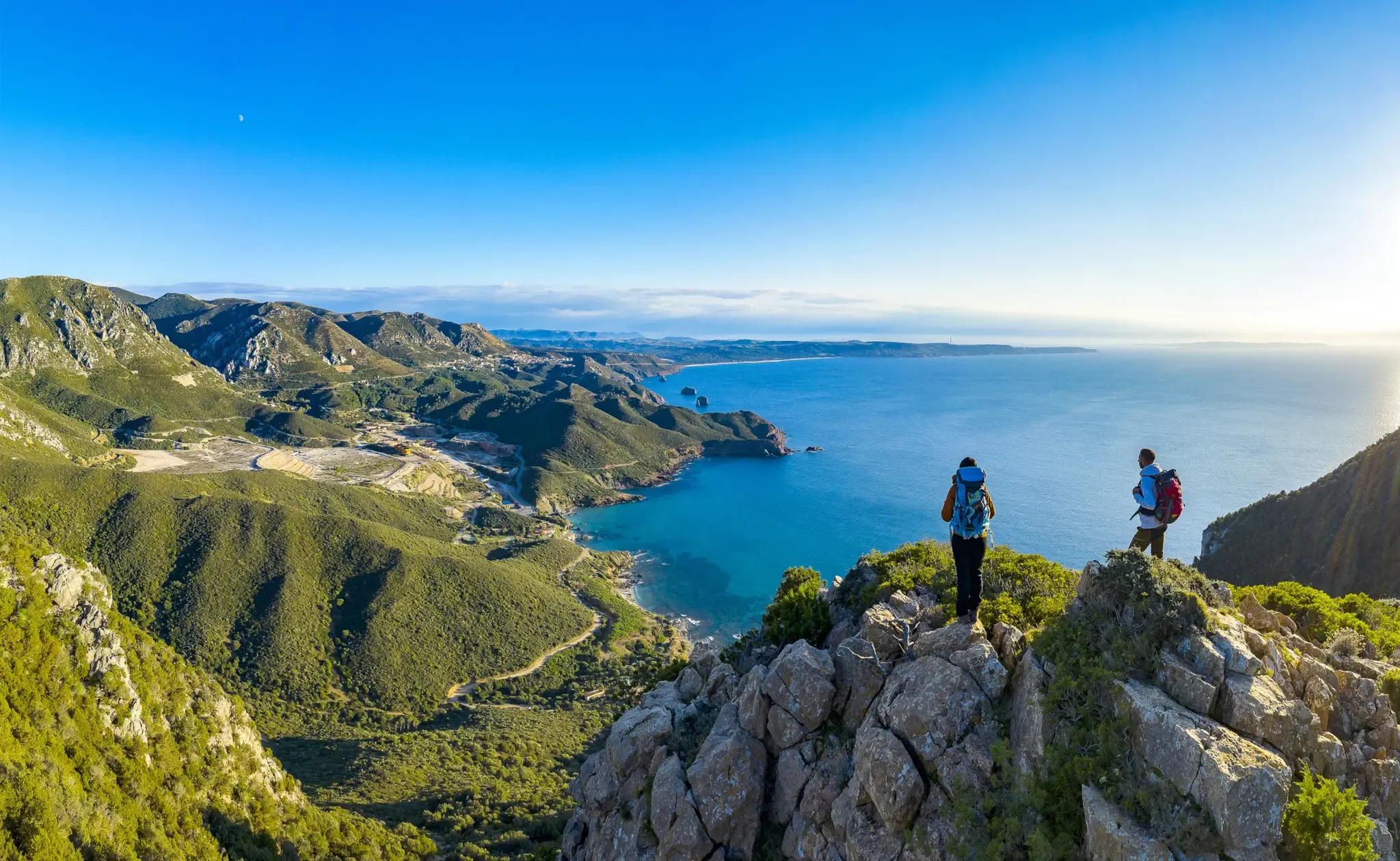
Cammino Minerario di Santa Barbara – memories of ancient Sardinia
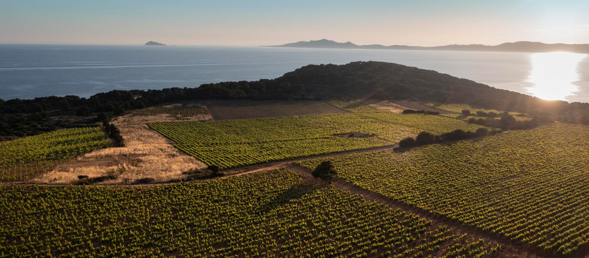
Trails among Carignano's vineyards – Cammino Minerario di Santa Barbara
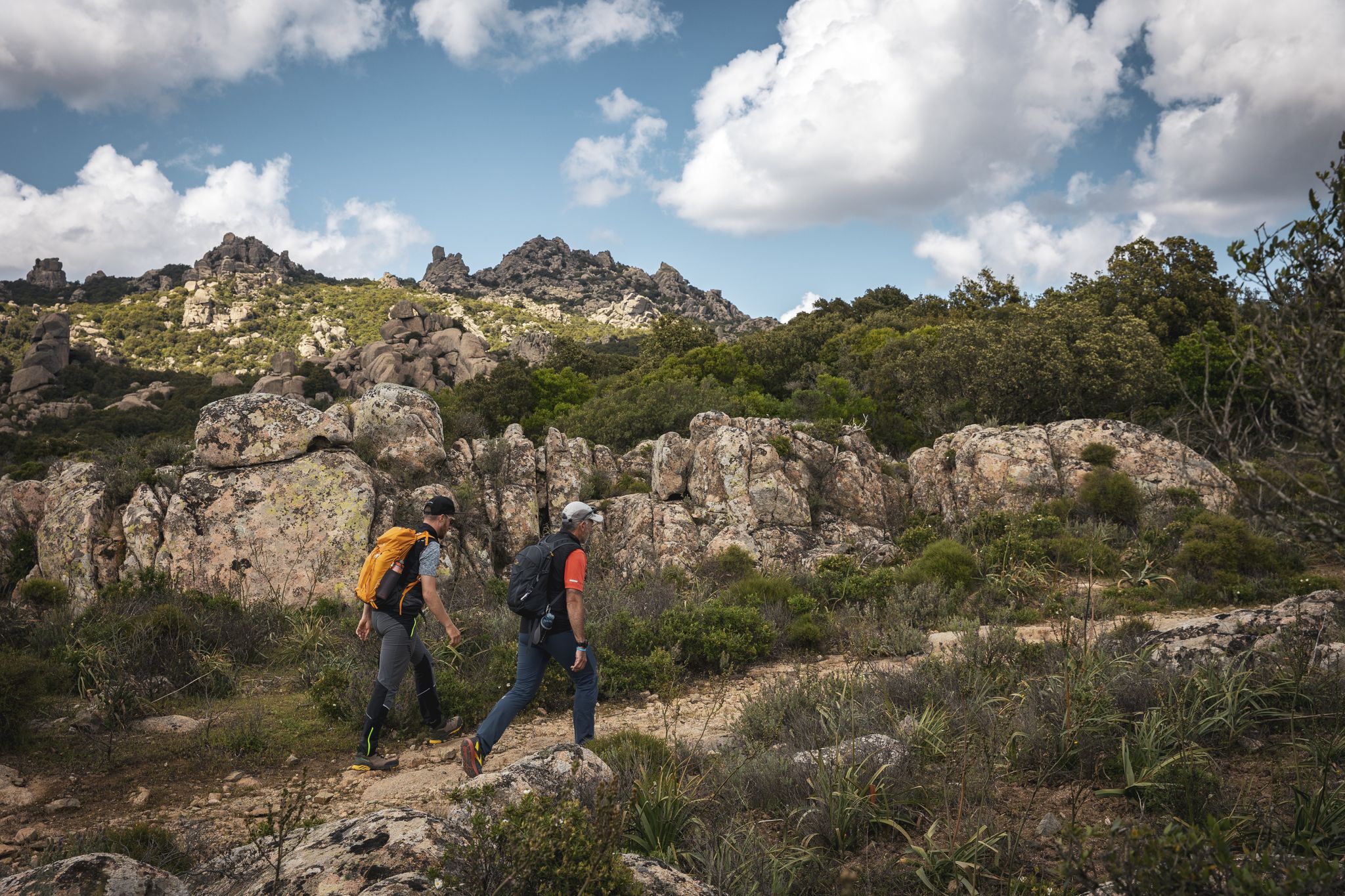
Eternal Sardinia – walks among the wonders of the hinterland
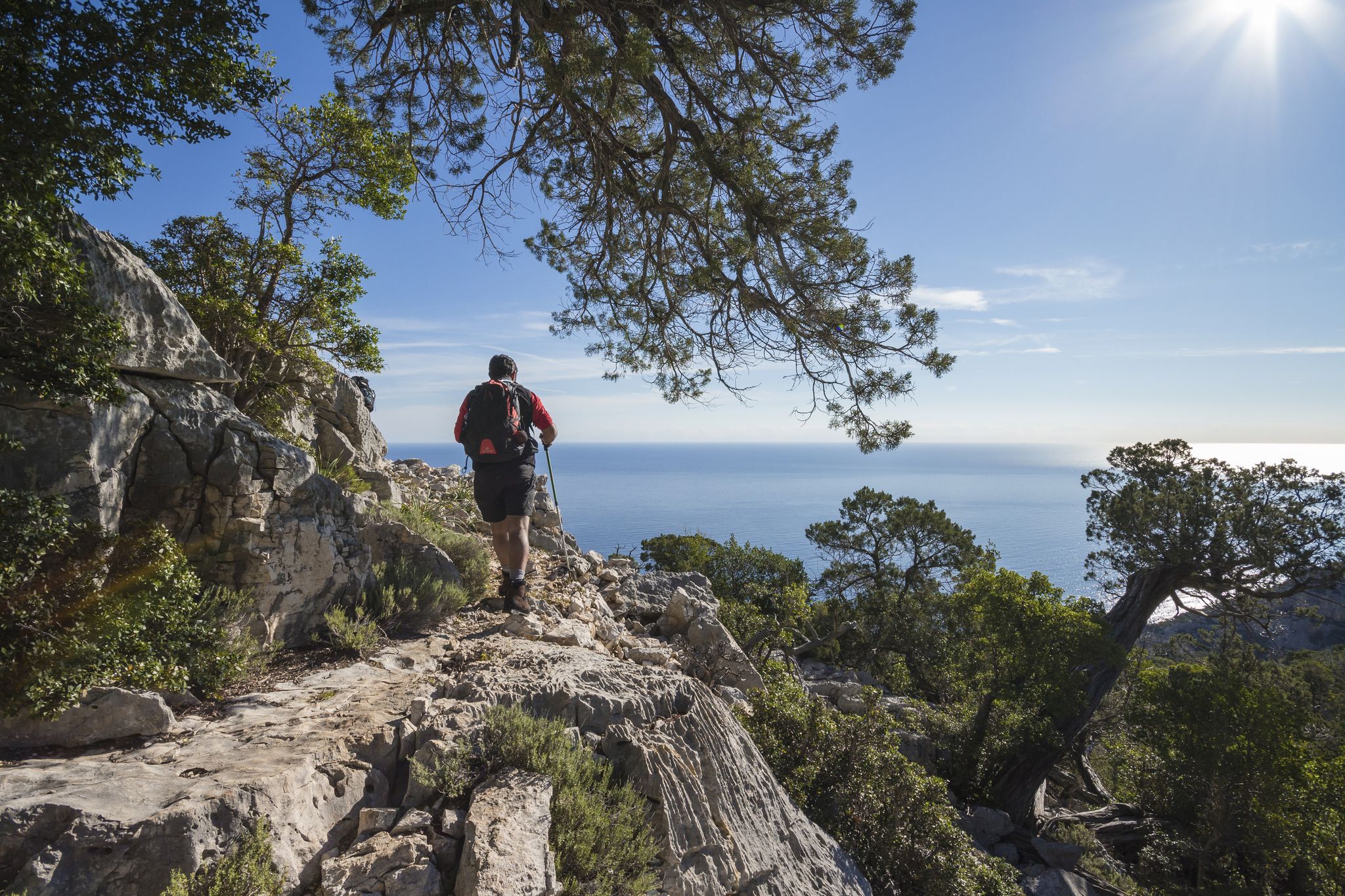
Magnificent Sardinia – day hikes overlooking the sea
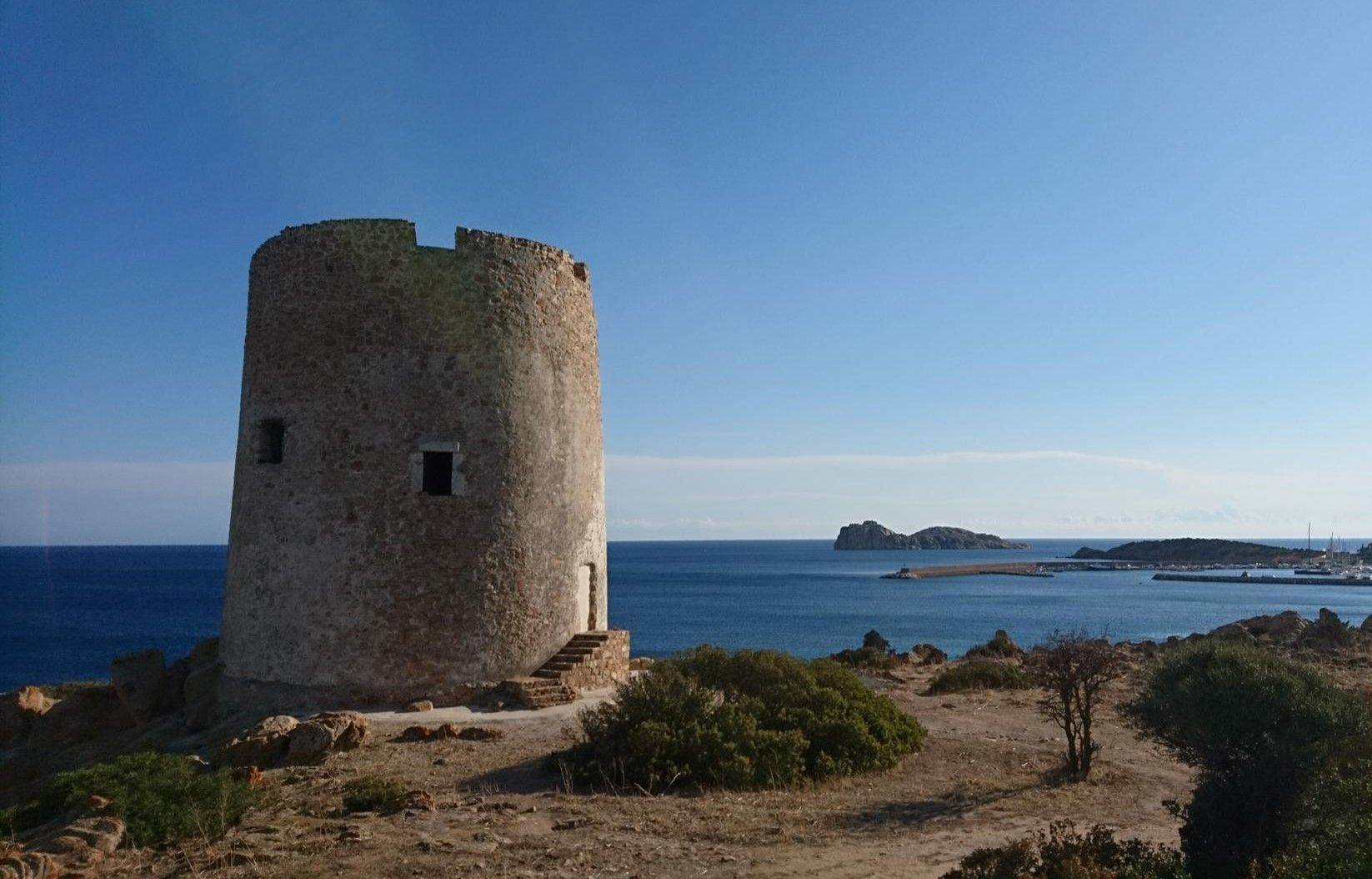
Portoscuso to Cagliari on the Via del Martirio – Cammino 100 Torri
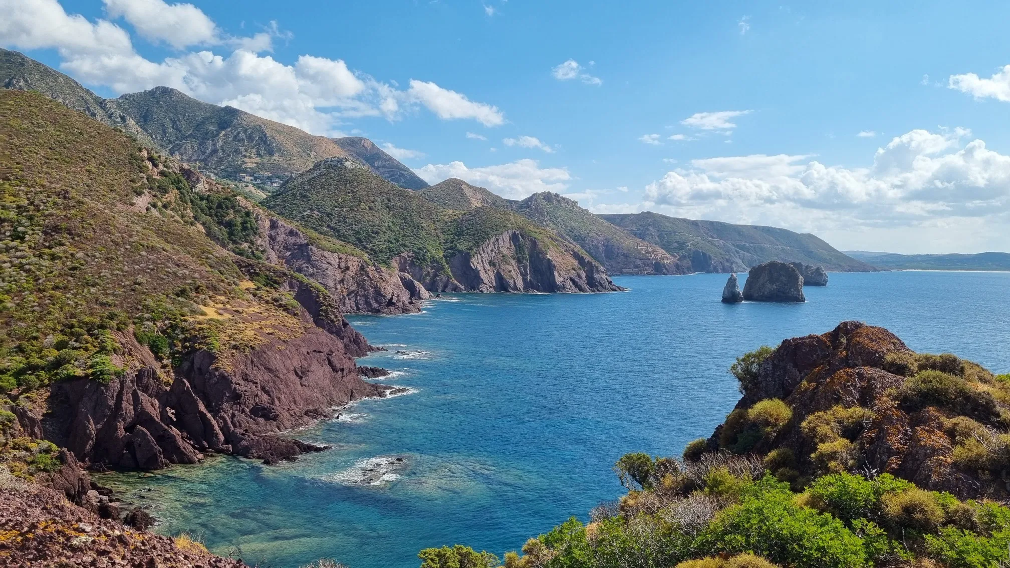
Along the Costa Verde on the Via delle Miniere – Cammino 100 Torri
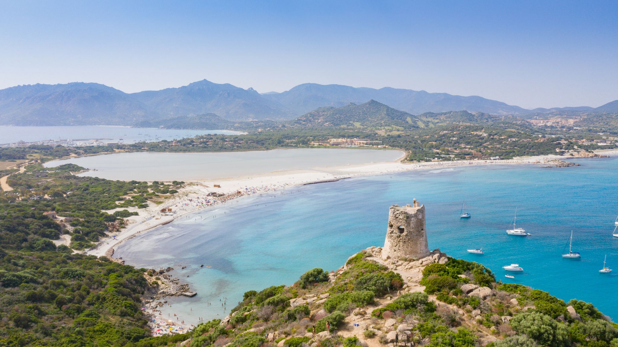
Villasimius to Arbatax along the Via Sarcapos - Cammino 100 Torri
Other adventures in Sud Sardegna


Tips from the Community

cala lunga topp.you can get there passing by cola domestica
0
0

Cala Cipolla Beach in southern Sardinia is a small, sheltered cove near Chia, framed by pink granite cliffs and backed by a pine forest. It features fine golden sand and crystal-clear, shallow waters, perfect for swimming, snorkeling, and families. The beach has a wild, natural charm, especially outside peak season. There's a small kiosk, and you can rent umbrellas and sunbeds. Parking (paid) is about 300/400 m away via a dirt path. Great for a relaxing day by the sea, with the option to hike to Capo Spartivento Lighthouse for stunning coastal views.
1
0


The former lighthouse keeper's property is now a luxury hotel. It has 4 suites in the tower and 2 suites in the park. Standing on cliffs, it offers a spectacular panoramic view. The Hotel Capo Spartivento can only be reached via an unauthorized path. Partly taken from eva-sardinia.de
1
1
Frequently Asked Questions
How many bus-accessible hiking trails are there in Sud Sardegna?
Sud Sardegna offers nearly 50 hiking trails that are conveniently accessible from bus stations. These routes cater to various skill levels, with 16 easy, 25 moderate, and 5 difficult options available.
What kind of landscapes can I expect on bus station hikes in Sud Sardegna?
Hiking from bus stations in Sud Sardegna allows you to explore a diverse range of landscapes. You'll find dramatic coastlines with pristine beaches and towering cliffs, mountainous interiors, ancient forests, and unique historical mining areas. The region is known for its rugged beauty, from the turquoise Mediterranean Sea to the inland canyons and green spaces.
Are there easy hiking options accessible by bus in Sud Sardegna?
Yes, there are 16 easy hiking trails accessible by bus in Sud Sardegna. For a pleasant coastal walk, consider the Isola Su Cardolinu Beach loop from Chia, which is just over 5 km long. Another accessible option is the Hiking loop from Chia, offering a gentle 7.2 km experience.
Can I find circular hiking routes from bus stations in Sud Sardegna?
Many bus-accessible trails in Sud Sardegna are circular, allowing you to start and end your hike at the same point. Examples include the moderate Cala Lunga da Buggerru — Ring tour, which offers coastal views, or the Capo Spartivento Lighthouse loop from Chia for a longer coastal exploration.
What are some interesting natural features or landmarks I can see on these trails?
Sud Sardegna's bus-accessible trails often lead to fascinating natural and historical sites. You might encounter impressive rock formations along the coast, ancient Nuraghi structures, or even explore historical mining landscapes in the Sulcis Iglesiente area. For geological wonders, consider visiting the San Giovanni Cave or the Su Mannau Cave, both offering unique underground experiences.
Are there any historical sites or castles near bus-accessible hiking routes?
Yes, the region is rich in history. Some trails might bring you close to ancient structures or historical sites. For example, you could explore areas near the Porto Giunco Tower or the Old Fortress of Villasimius. The Sulcis Iglesiente area, with its mining heritage, also offers a blend of natural beauty and industrial history.
What is the best time of year to hike in Sud Sardegna using public transport?
The spring (April-May) and autumn (September-October) months are generally ideal for hiking in Sud Sardegna. The weather is milder, making for more comfortable conditions, and the landscapes are vibrant. Summers can be very hot, especially for longer hikes, while winters are generally mild but can bring occasional rain.
Are there family-friendly hiking trails accessible by bus?
Yes, several easy and moderate trails are suitable for families. The shorter coastal loops, such as the Isola Su Cardolinu Beach loop from Chia, are great for families looking for a less strenuous outing with beautiful scenery. Always check the specific route details for distance and elevation to ensure it matches your family's capabilities.
What do other hikers enjoy most about bus station hikes in Sud Sardegna?
The komoot community highly rates the hiking experiences in Sud Sardegna, with an average score of 4.5 stars from over 4,700 ratings. Hikers frequently praise the stunning coastal views, the diversity of landscapes from beaches to mountains, and the opportunity to discover hidden coves and historical sites. The accessibility via public transport is also a significant plus for many.
Can I spot wildlife on bus-accessible trails in Sud Sardegna?
Sud Sardegna is home to diverse wildlife, and you may encounter various species, especially in less populated areas or nature reserves. The Monte Arcosu WWF Oasis, for instance, is known for its ancient holm oak forests and is a habitat for deer and other animals. Keep an eye out for local birdlife along coastal paths and in forested regions.
Are there any challenging bus-accessible hikes for experienced trekkers?
While most bus-accessible routes tend to be easy to moderate, there are some more challenging options. The region features parts of the Gennargentu Massif, offering rugged terrain and significant elevation changes. For those seeking a challenge, look for trails that venture into the mountainous interiors, which can be accessed via public transport to certain starting points. Always check the difficulty grade and elevation profile before embarking on a difficult route.
What should I wear for hiking in Sud Sardegna?
Given the varied terrain and climate, layered clothing is recommended. Comfortable hiking shoes with good grip are essential, especially for rocky or uneven paths. During warmer months, light, breathable fabrics, a hat, and sunscreen are crucial. For cooler seasons or higher elevations, bring warmer layers and a waterproof jacket. Always carry sufficient water, regardless of the season.
Most popular routes in Sud Sardegna
Most popular attractions in Sud Sardegna

Get inspired with the komoot mobile app


Didn’t find what you were looking for?
Check out more Hikes throughout Sud Sardegna below and find the perfect route in your destination.
Explore more
Browse the best Hikes in other regions.
