The best hikes from bus stations in Vaucluse
4.5
(19334)
108,449
hikers
1,342
hikes
Bus station hiking trails in Vaucluse offer access to a diverse landscape in southeastern France. The region is characterized by dramatic limestone peaks like the Dentelles de Montmirail, the vast Mont Ventoux, and the unique ochre formations of the Luberon Regional Natural Park. Hikers can explore deep ravines, extensive forests, and karst phenomena, including Europe's largest karst spring at Fontaine de Vaucluse.
Best bus station hiking trails in Vaucluse
- The most popular bus station hiking route is In the Foothills of the Dentelles de Montmirail, a 4.5 miles (7.2 km) trail that takes 2 hours 5 minutes to complete. This route offers views of the distinctive jagged limestone peaks.
- Another top favourite among local hikers is The valley of Aigue Brun and Chantebelle - loop in the Luberon Regional Natural Park, an easy 4.2 miles (6.8 km) path. This trail winds through the unspoiled nature of the Luberon, featuring forests and valleys.
- Local hikers also love the Cabrières-d'Avignon, a 4.6 miles (7.5 km) trail leading through varied terrain, often completed in about 2 hours 8 minutes.
- Hiking in Vaucluse is defined by dramatic limestone formations, dense woodlands, and unique ochre landscapes. The network offers options for different ability levels, from gentle strolls to more challenging ascents.
- The routes in Vaucluse are highly rated by the komoot community with an average score of 4.5 stars from more than 16,000 reviews. More than 94,000 hikers have used komoot to explore Vaucluse's varied terrain.
Last updated: July 11, 2026
4.7
(102)
408
hikers
7.18km
02:05
180m
180m
Hike the Beaumes-de-Venise and Rocher de Rocalinaud loop, a moderate 4.5-mile (7.2 km) route with Provençal views and unique rock formations
4.7
(97)
289
hikers
Easy hike. Great for any fitness level. Easily-accessible paths. Suitable for all skill levels.

Sign up for free
4.6
(34)
120
hikers
7.48km
02:09
190m
190m
Moderate hike. Good fitness required. Easily-accessible paths. Suitable for all skill levels.
4.7
(114)
405
hikers
11.6km
03:31
390m
390m
Moderate hike. Good fitness required. Easily-accessible paths. Suitable for all skill levels.
4.8
(91)
379
hikers
4.65km
01:37
260m
260m
Easy hike. Great for any fitness level. Easily-accessible paths. Suitable for all skill levels.
Get access to more routes and recommendations from other explorers.
Sign up for free
Already have an account?
Our route recommendations are based on thousands of hikes, rides, and runs completed by other people on komoot.
Start today with a free account
Your next adventure awaits.
Login or Signup
Popular around Vaucluse
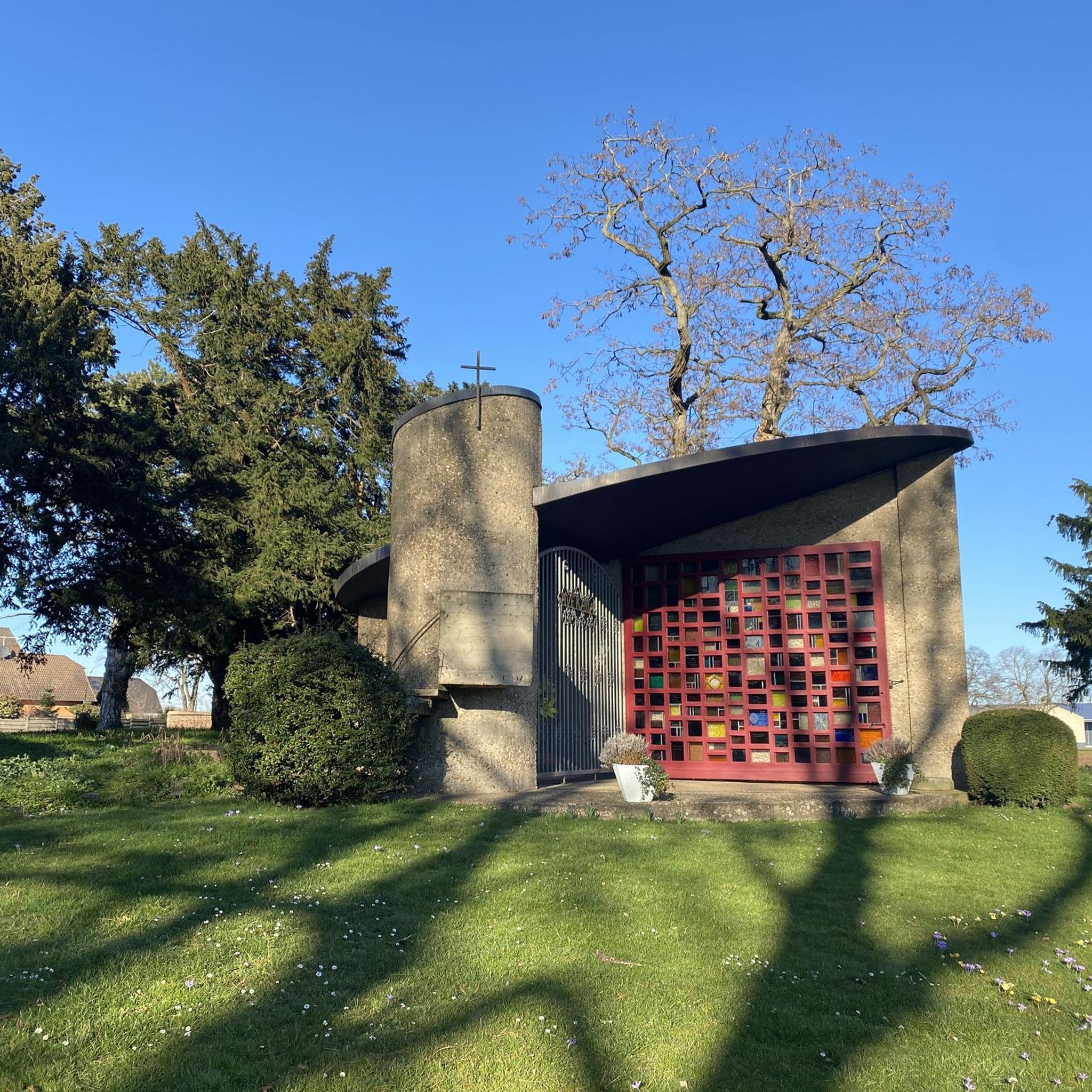
Hikes from bus stations in Luberon
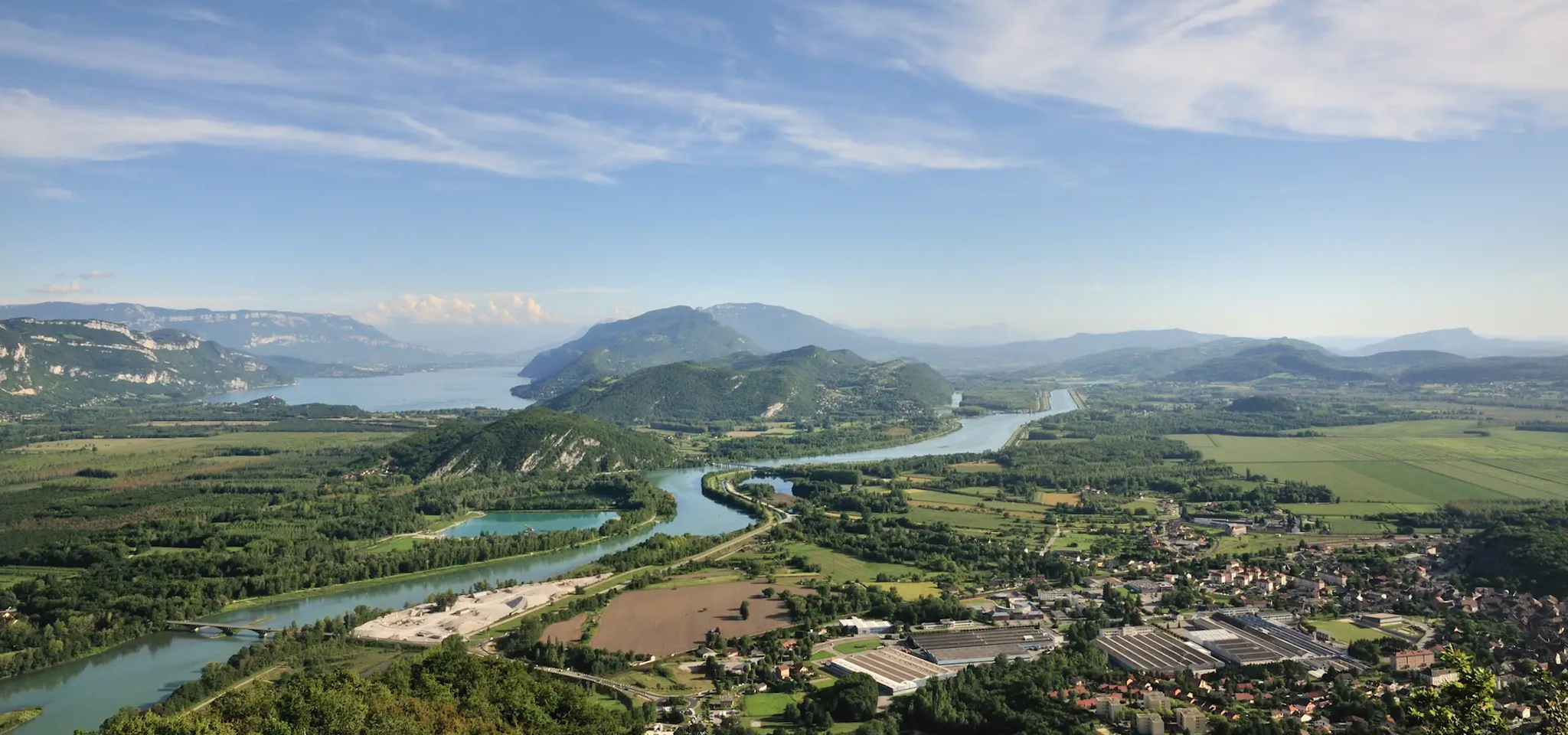
GR 9 from the Jura to the Mediterranean – Crossing contrasts
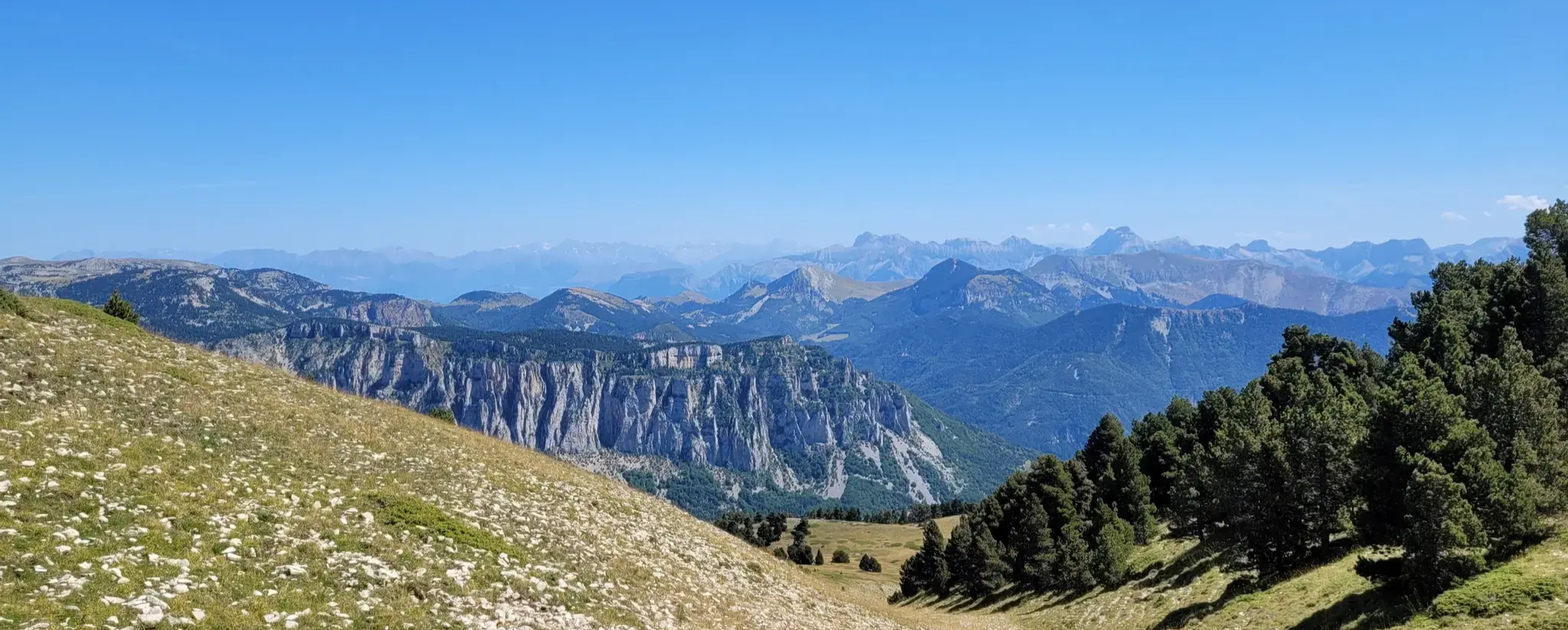
GR 91 - From the Vercors High Plateaux to Provence
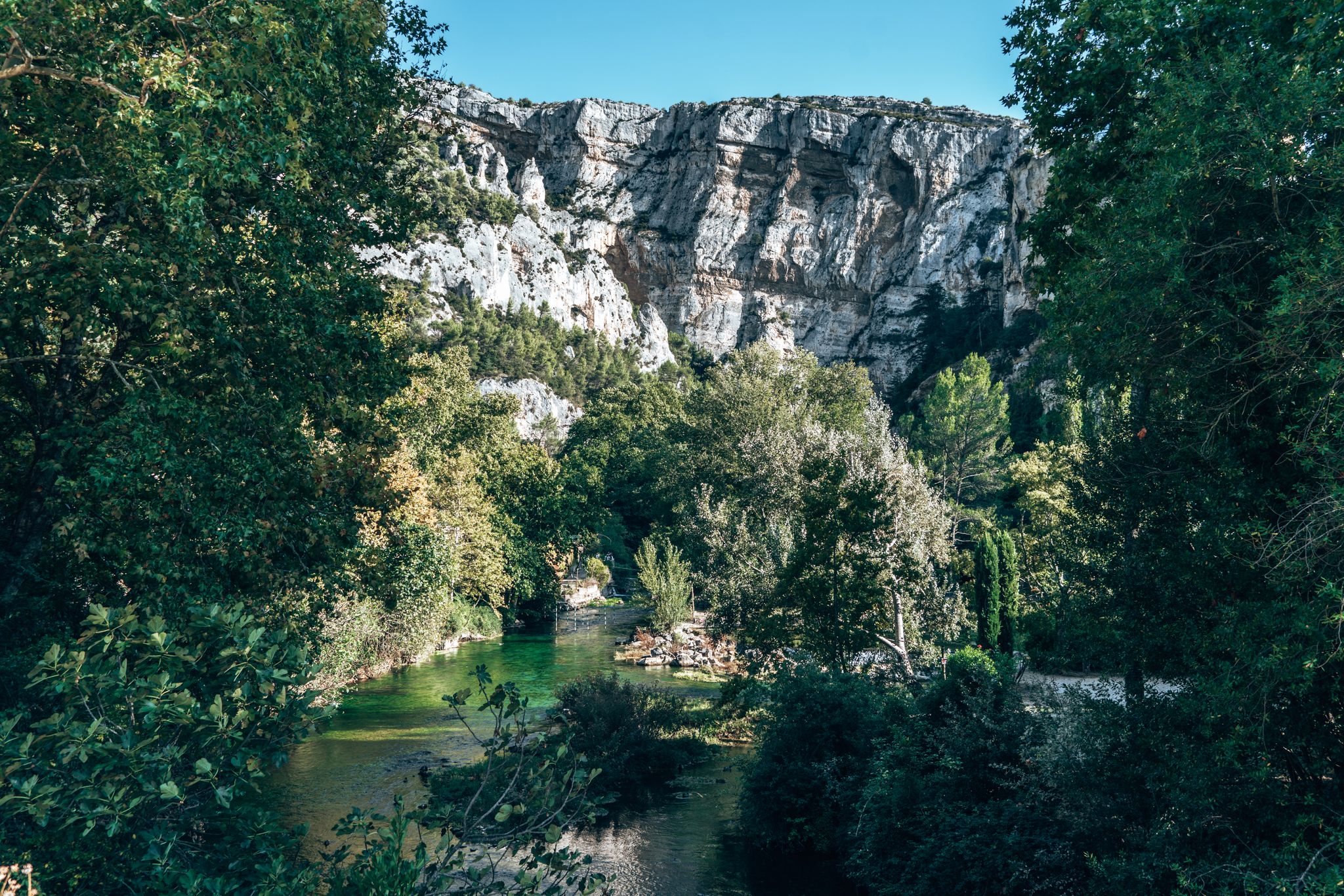
Hiking in the Luberon – Biosphere Reserve and UNESCO Geopark
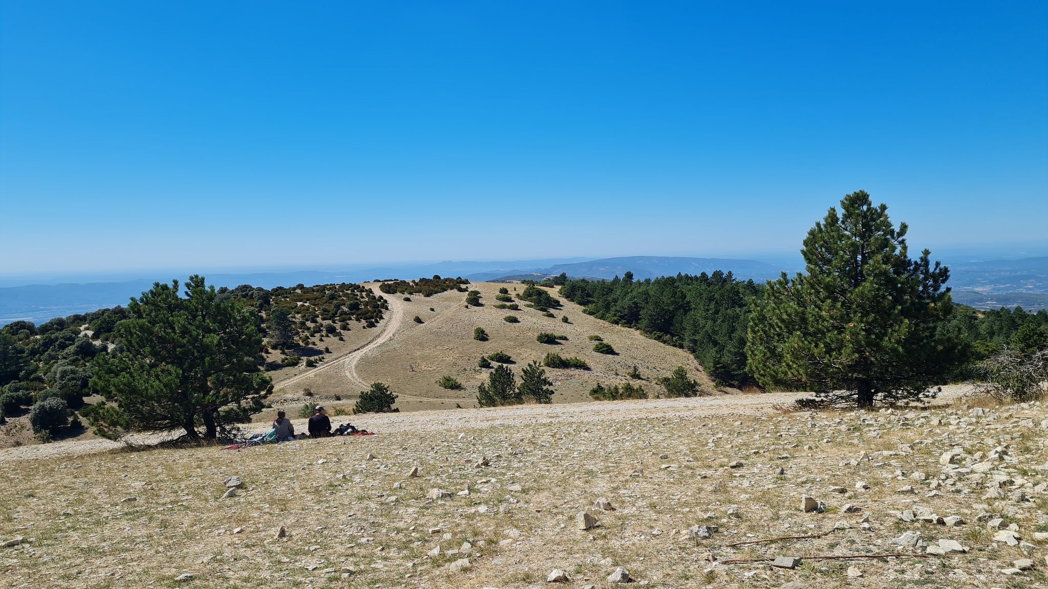
Crossing the Grand Luberon – GRP 92
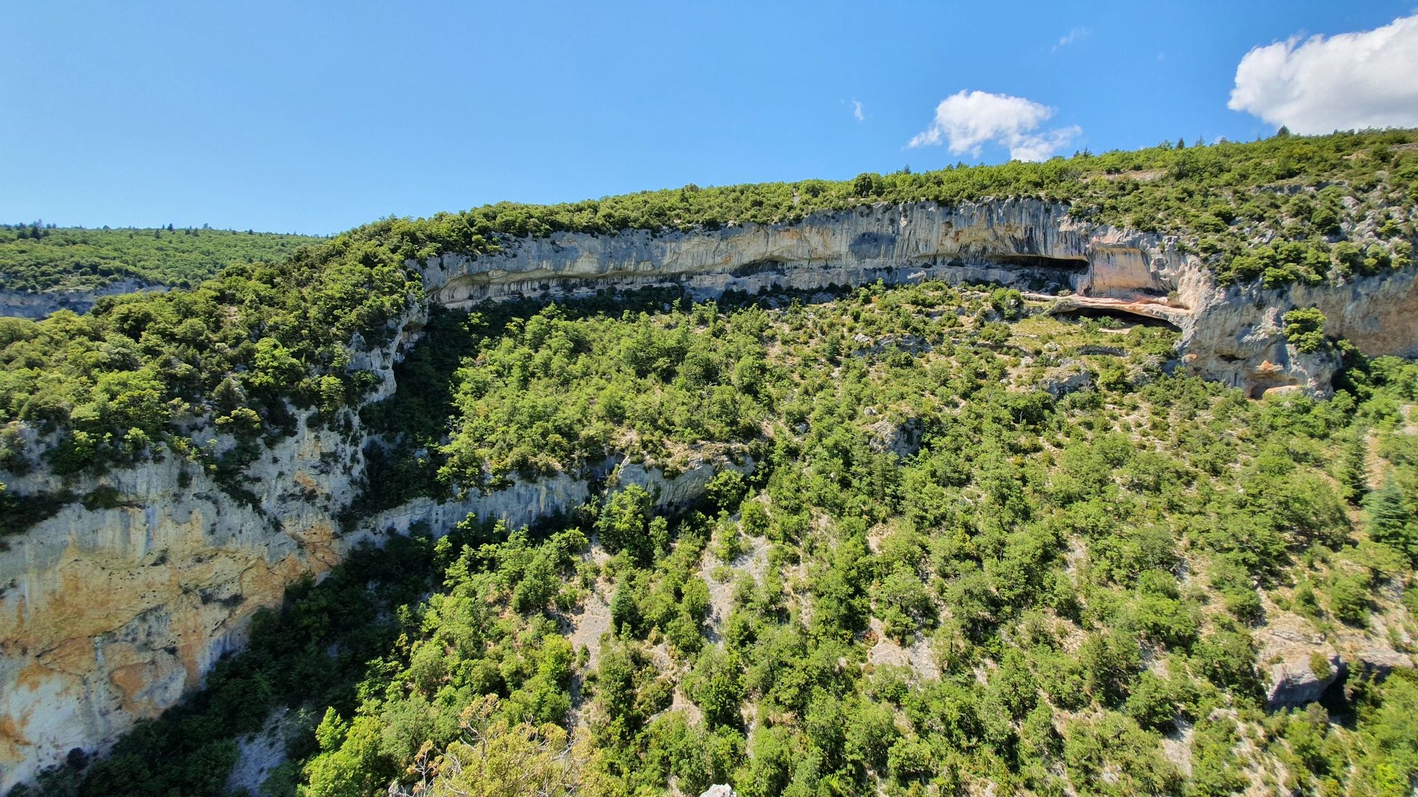
From the Dentelles de Montmirail to the Ventoux - seven hikes in Vaucluse
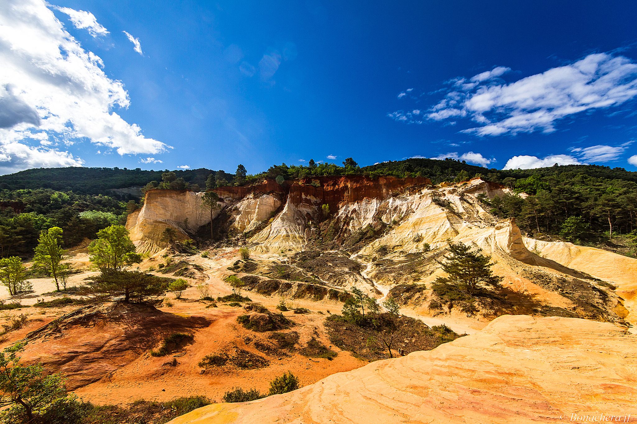
Through the Provencal mountains - Tour du Luberon (GR 97)
Three Peaks Bike Race — Vienna to Nice
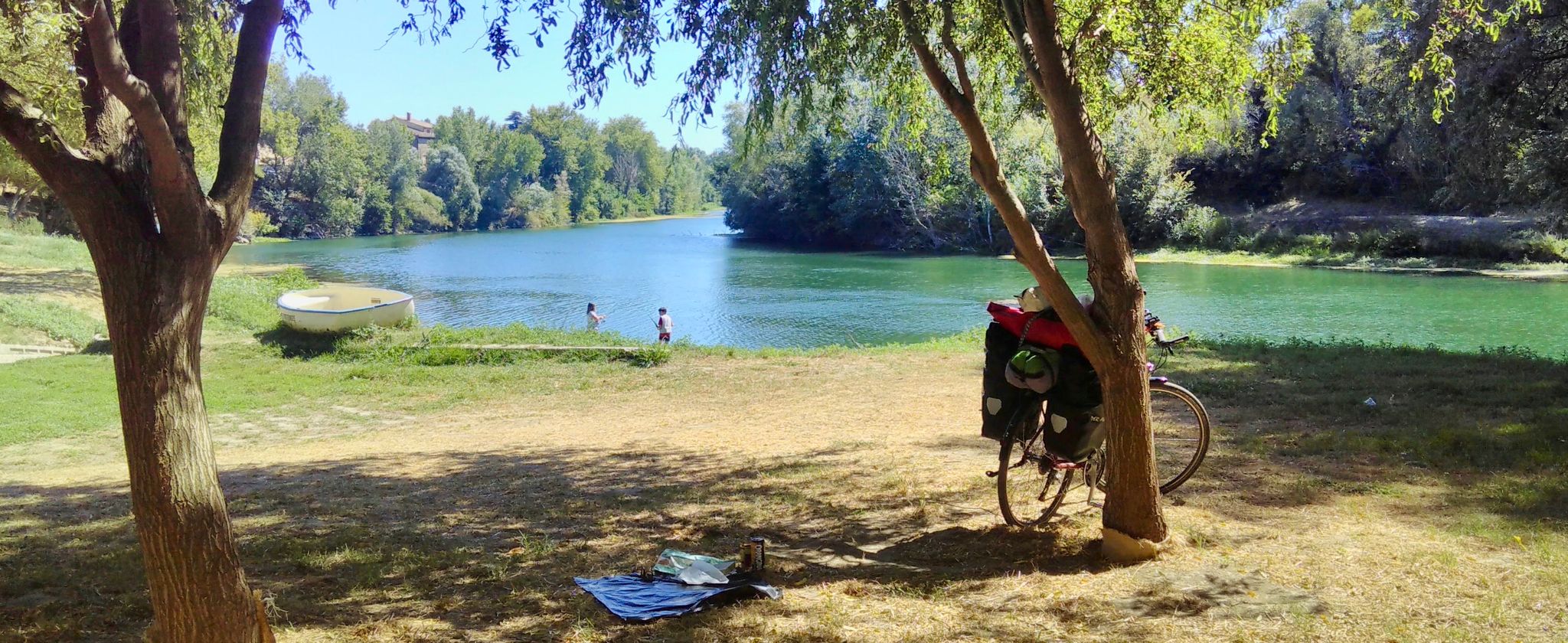
Via Rhôna — cycling the Rhone Valley Way from Lyon to the Mediterranean
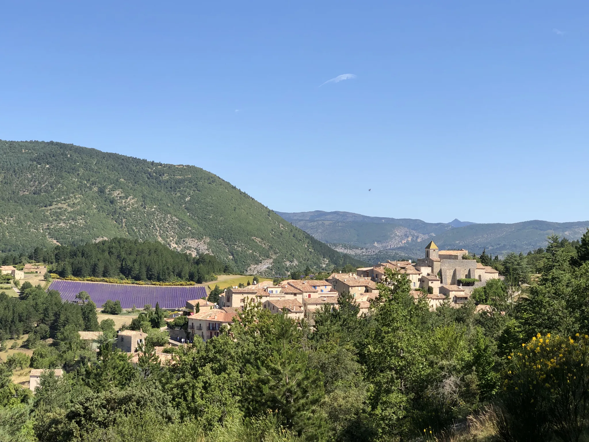
Exceptional natural landscapes — La Grande Traversée de Vaucluse à VTT
Other adventures in Vaucluse


Tips from the Community

The Rocalinaud Rock, also called the "Moon Rock," is a mass of sand formed by wind, rain, and humans over more than a million years. This rock is an unusual and enigmatic site, ideally located in the heart of a vineyard, east of the village of Beaumes-de-Venise. It is the remains of an underwater dune formed during the Miocene. Rocalinaud bears the shape of a strange, hooked beak.
1
0

a short family walk or a long hike for the more courageous
0
0

It is a unique geological curiosity in the region that is definitely worth a visit.
2
1

You cannot help but be impressed by this magnificent, centuries-old oak tree which stands majestically in the heart of the Provençal countryside, offering you a serene place in the middle of a landscape of rolling hills and lush vegetation.
1
0

Atlas cedars, introduced to the south of France in 1860, spread naturally, forming cedar groves in the Ventoux and Petit Luberon massifs. Their light and aromatic wood is sought after in cabinetmaking. In 1989, a fire destroyed 338 hectares of forest in Cabrières-d'Avignon, but the cedars mostly resisted. Some, still scarred by fire, were replanted in 1991.
0
0
Cabrières-d'Avignon is a picturesque village nestled at the foot of the Vaucluse mountains. Known for its natural landscapes, it is surrounded by forests of holm oaks, pines and cedars. The village is rich in history, with remains of dry stone walls and ancient cultivation terraces which recall its agricultural past.
1
0
The Aiguebrun, a rare semi-permanent watercourse in the Mediterranean region, crosses a major ecological valley in the Park. This site is home to species such as brown trout, southern barbel and the rare white-clawed crayfish. The presence of these species testifies to the good health of the aquatic ecosystem, highlighting the importance of its preservation.
1
1
Frequently Asked Questions
How many hiking trails are accessible from bus stations in Vaucluse?
Vaucluse offers a wide selection of hiking trails reachable by bus, with over 1,200 routes available. These trails cater to various skill levels, from easy strolls to more challenging ascents, allowing you to explore the region's diverse landscapes without needing a car.
Are there easy hiking trails accessible by bus in Vaucluse for beginners or families?
Yes, there are numerous easy hiking options perfect for beginners or families. The Luberon Regional Natural Park, known for its gentle paths and charming villages, offers many such routes. For example, consider The valley of Aigue Brun and Chantebelle - loop in the Luberon Regional Natural Park, an easy 6.7 km loop that showcases the park's natural beauty.
What are some challenging bus-accessible hikes in Vaucluse?
For those seeking a challenge, Vaucluse provides demanding trails, especially around areas like Mont Ventoux and the Gorges de la Nesque, which are often accessible via regional bus lines. While specific difficult routes directly from bus stops can vary, many moderate trails offer significant elevation gain and distance. For instance, the 11.5 km L'Aiguebrun near Buoux – Chantebelle Oak loop from Buoux is a moderate hike that provides a good workout with rewarding views.
Can I find circular hiking routes starting and ending at bus stops in Vaucluse?
Absolutely. Many routes in Vaucluse are designed as circular walks, allowing you to return to your starting point, which is ideal when relying on public transport. The region's extensive network of trails, particularly in areas like the Luberon and the Dentelles de Montmirail, includes numerous loops. An example is The valley of Aigue Brun and Chantebelle, a loop in the Luberon Regional Natural Park.
What kind of natural landmarks or attractions can I see along bus-accessible hiking trails in Vaucluse?
Vaucluse is rich in natural beauty. Depending on your chosen route, you might encounter the dramatic limestone peaks of the Dentelles de Montmirail, the vibrant ochre landscapes of Roussillon, or the impressive Nesque gorges. Other notable sights include the iconic Mont Ventoux summit and charming medieval villages like Gordes and Bonnieux, often connected by regional bus services.
What is the best season for hiking from bus stations in Vaucluse?
The best seasons for hiking in Vaucluse are spring (April to June) and autumn (September to October). During these times, the weather is generally mild and pleasant, with blooming wildflowers in spring and beautiful foliage in autumn. Summer can be very hot, especially in July and August, making early morning hikes advisable. Winter offers crisp air and fewer crowds, though some higher elevation trails might be less accessible.
Are there any dog-friendly hiking trails accessible by bus in Vaucluse?
Many trails in Vaucluse are dog-friendly, allowing you to explore with your canine companion. However, it's essential to check local regulations for specific areas, especially within protected natural parks, and always keep your dog on a leash. When using public transport, verify the bus company's policy regarding pets in advance.
What do other hikers enjoy most about hiking in Vaucluse?
The komoot community highly rates the hiking experience in Vaucluse, with an average score of 4.5 stars. Reviewers often praise the region's diverse and stunning natural landscapes, the well-maintained trails that lead through vineyards, olive groves, and forests, and the opportunity to discover charming hilltop villages and unique geological formations like the ochre quarries.
Are there bus routes that specifically cater to hikers in Vaucluse?
The ZOU! regional bus network serves many towns and villages throughout Vaucluse, providing access to numerous trailheads. While not exclusively for hikers, these routes connect key locations, including those near popular hiking areas like the Luberon, the Dentelles de Montmirail, and the base of Mont Ventoux. It's recommended to check the ZOU! bus schedules, especially for weekend services, to plan your trip effectively.
Can I find cafes or amenities near bus stops that serve hiking trails in Vaucluse?
Yes, many bus stops in Vaucluse are located in or near villages and towns, which typically offer cafes, bakeries, and small shops where you can grab refreshments or supplies before or after your hike. Popular spots like Fontaine-de-Vaucluse, Roussillon, and Gordes, which are well-served by buses, have various amenities for visitors.
Are there any trails that offer views of Mont Ventoux from a bus-accessible starting point?
Yes, several trails in the surrounding areas, particularly in the Dentelles de Montmirail and the Comtat Venaissin plains, offer splendid panoramic views of Mont Ventoux. Routes like In the Foothills of the Dentelles de Montmirail can provide glimpses of the 'Giant of Provence' while being accessible via regional bus services to nearby villages.
Most popular routes in Vaucluse
Most popular attractions in Vaucluse

Get inspired with the komoot mobile app


Didn’t find what you were looking for?
Check out more Hikes throughout Vaucluse below and find the perfect route in your destination.
Explore more
Browse the best Hikes in other regions.
