The best traffic-free bike rides around Grüsch
4.5
(1301)
17,262
riders
129
rides
No traffic touring cycling routes around Grüsch are set within the Prättigau region of Switzerland, characterized by its diverse landscapes and the majestic Alps. The area features a mix of paved roads and ascending and descending single trails, offering varied terrain for cyclists. Elevations range significantly, providing both challenging climbs and scenic descents through valleys and past historic villages.
Best no traffic touring cycling routes around Grüsch
- The most popular no traffic touring cycling route is Bridge over gorge –…
Last updated: October 1, 2026
4.5
(14)
157
riders
34.2km
02:37
770m
770m
Hard bike ride. Very good fitness required. Mostly paved surfaces. Suitable for all skill levels.
5.0
(6)
120
riders
26.4km
02:56
1,020m
1,020m
Hard bike ride. Very good fitness required. Mostly paved surfaces. Suitable for all skill levels.

5.0
(4)
68
riders
29.2km
02:24
910m
910m
Hard bike ride. Very good fitness required. Mostly paved surfaces. Suitable for all skill levels.
5.0
(3)
70
riders
56.1km
05:25
2,010m
2,010m
Hard bike ride. Very good fitness required. Mostly paved surfaces. Suitable for all skill levels.
4.3
(3)
56
riders
31.1km
02:44
770m
770m
Hard bike ride. Very good fitness required. Mostly paved surfaces. Suitable for all skill levels.
Get access to more routes and recommendations from other explorers.
Already have an account?
Our route recommendations are based on thousands of hikes, rides, and runs completed by other people on komoot.
Tips from the Community

Small mountain lake near Bärgli, to then continue to the Carschinahütte. Boats can be rented for leisurely laps. Rent CHF 2.-- per person, used for boat maintenance.
0
0

Because it is a beautiful old town 🙃
0
0


The village of Seewis is located on a sunny terrace on the south-facing slope of the 2,376-meter-high Vilans, at an altitude of around 950 meters. First documented in 1224 as "de Sevve", coin finds even indicate Roman settlement in the 1st and 3rd centuries. The protected location bestows upon the health resort a remarkably mild climate that attracts guests all year round.
2
0
Below the rugged Sulzfluh, at an altitude of 2,236 meters, lies the Carschinahütte of the Swiss Alpine Club. After extensive renovation, one of the most beautiful and most visited huts in the country is now also one of the most sustainable. A solar system will ensure a reliable and environmentally friendly power supply in the future. The kitchen and sanitary facilities have been completely renewed, along with the spring capture, the filter system, and the entire wastewater infrastructure. Adapted room sizes, wider mattresses, and a dining room renovated with a lot of wood ensure additional coziness. What has remained is what has always characterized the hut: a unique location, the impressive mountain scenery of the Rätikon, the warm and rustic atmosphere, a cordial hut team, as well as the regional delicacies of excellent quality that are served here.
3
0
Nestled in the gentle slopes of the Rätikon, at around 1,400 meters above sea level, lies the picturesque village of St. Antönien. Its name derives from the parish church built in the center in the 14th century, which was dedicated to Saint Anthony. To this day, dairy farming and livestock breeding shape the cultural landscape around the Walser community, which was settled around the 13th century. Since June 2021, St. Antönien has been the first Swiss locality to bear the title "Bergsteigerdorf" (mountaineering village) – an award given by the Swiss Alpine Club together with the municipality. This recognizes communities that focus on nature-oriented mountain tourism instead of mass crowds and commit to sustainably preserving nature, culture, and traditions. Numerous tours lead from here into the surrounding mountains all year round. In addition, there are a variety of excellent refreshment and accommodation options in the municipality.
1
0

Even in the pouring rain, this area is beautiful!
0
0
Frequently Asked Questions
How many no-traffic touring cycling routes are available around Grüsch?
Grüsch offers a wide selection of no-traffic touring cycling routes. There are over 140 routes specifically curated for touring cyclists seeking car-free experiences in the region.
What makes the touring cycling routes around Grüsch particularly traffic-free?
The routes in Grüsch often utilize dedicated cycle paths, quiet agricultural roads, or trails where vehicle access is restricted. The region's diverse topography, from the picturesque Valzeiner Valley deep into the Alps to routes combining single trails with paved roads, allows for many sections to be naturally separated from heavy traffic, providing a serene cycling experience.
What is the typical terrain and difficulty level of no-traffic touring cycling routes in Grüsch?
The terrain varies significantly, ranging from paved roads to ascending and descending single trails. While some routes are relatively easy, many are classified as moderate or difficult, featuring significant elevation changes. For example, routes like the Bridge over gorge – Schesaplana Hut loop from Seewis im Prättigau involve over 1000 meters of elevation gain, offering challenging climbs and rewarding descents.
What natural features or viewpoints can I expect on these traffic-free routes?
Many routes offer breathtaking panoramic mountain views of the majestic Alps and the Rätikon mountain range. You can expect to encounter diverse landscapes, from dense forests to alpine meadows. The Drinking Water Fountain Grüsch – View of Vorderprättigau loop from Grüsch, for instance, provides excellent vistas of the Vorderprättigau region.
Are there any historical landmarks or attractions accessible from the no-traffic cycling routes?
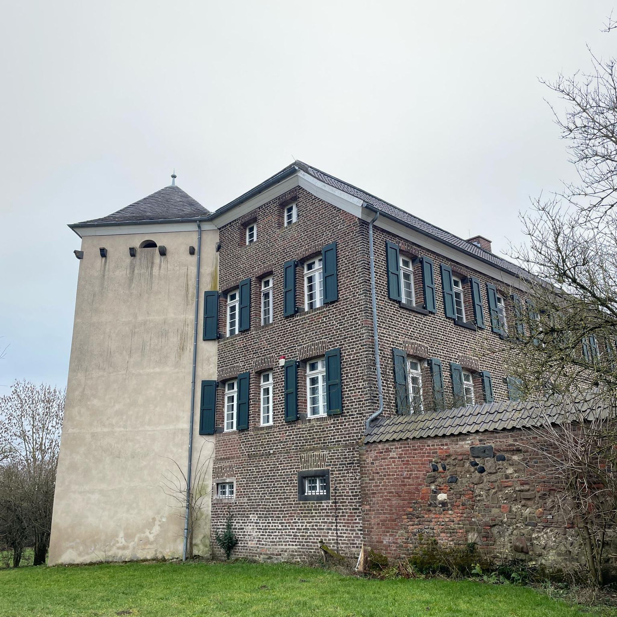
Yes, the region around Grüsch is rich in history and culture. You might pass by historic 16th-century manor houses in the village itself. Additionally, there are several castles nearby, such as Salenegg Castle or the Neuenburg Castle Ruins, which can be interesting detours or points of interest along your ride.
How can I access the no-traffic touring cycling routes in Grüsch using public transport?
Grüsch is generally well-connected within the Swiss public transport network. You can typically reach Grüsch by train, and many routes start directly from the village or are easily accessible from public transport stops. It's advisable to check local train and bus schedules for specific route access points.
Where can I park my car when starting a traffic-free touring cycling route in Grüsch?
Grüsch offers various parking options for visitors. Look for designated public parking areas within the village. Many routes, being loops, will bring you back to your starting point, making parking convenient. Always check local signage for parking regulations and fees.
What is the best time of year for no-traffic touring cycling in Grüsch?
The best time for touring cycling in Grüsch is typically from spring through autumn. During these seasons, the weather is generally mild, and the trails are clear of snow. Summer offers lush green landscapes, while autumn provides stunning fall foliage. Winter months are more suited for snow sports, as many higher-altitude routes may be inaccessible due to snow.
Are there family-friendly no-traffic touring cycling routes suitable for children?
While many routes in Grüsch are moderate to difficult, there are easier options available. With 29 easy routes listed, families can find suitable car-free paths. Look for routes with less elevation gain and shorter distances, often found on dedicated cycle paths or quieter valley roads, to ensure a pleasant experience for children.
Can I bring my dog on the no-traffic touring cycling routes in Grüsch?
Generally, dogs are welcome on many outdoor trails in Switzerland, including cycling routes, provided they are kept on a leash and owners clean up after them. However, specific regulations can vary, especially in nature reserves or protected areas. It's always best to check local signage or specific route descriptions for any restrictions regarding dogs.
Are there places to eat or stay along the no-traffic touring cycling routes in Grüsch?
Grüsch and the surrounding villages offer various cafes, restaurants, and accommodation options. Many routes pass through or near villages where you can find places to refuel or stay overnight. For example, the Schesaplana View Furna – Restaurant Hochwang loop from Grüsch specifically mentions a restaurant, indicating opportunities for breaks.
What do other touring cyclists enjoy the most about touring cycling in Grüsch?
The area is highly rated by the komoot community, with an average score of 4.36 stars. Reviewers often praise the stunning panoramic views, the variety of terrain, and the opportunity to explore the beautiful Prättigau region on quiet, traffic-free paths. The combination of challenging climbs and scenic descents is frequently highlighted as a major draw.
Most popular attractions around Grüsch

Get inspired with the komoot mobile app


Explore more
Browse the best Cycling routes in other regions.
