Parque Nacional de Picos de Europa
Parque Nacional de Picos de Europa
The best traffic-free bike rides around Parque Nacional de Picos de Europa
4.5
(139)
10,567
riders
14
rides
No traffic road cycling routes around Parque Nacional de Picos de Europa traverse a landscape defined by dramatic limestone massifs, deep gorges, and lush valleys. The region, a UNESCO Biosphere Reserve, offers challenging ascents and varied terrain for road cyclists. Roads often wind through rural areas with low traffic density, providing an immersive experience amidst the Cantabrian Mountains. The park's geology features impressive peaks and glacial lakes, creating a diverse environment for cycling.
Best no traffic road cycling routes around…
Last updated: October 15, 2026
4.8
(4)
490
riders
30.4km
02:16
1,140m
1,140m
Hard road ride. Very good fitness required. Some segments of this route may be unpaved and difficult to ride.
4.5
(2)
259
riders
24.2km
01:53
1,030m
1,030m
Hard road ride. Very good fitness required. Mostly well-paved surfaces and easy to ride.

16
riders
39.9km
02:45
1,310m
1,310m
Hard road ride. Very good fitness required. Some segments of this route may be unpaved and difficult to ride.
18
riders
37.5km
02:32
1,230m
1,220m
Hard road ride. Very good fitness required. Mostly well-paved surfaces and easy to ride.
3.0
(1)
17
riders
Moderate road ride. Good fitness required. Mostly well-paved surfaces and easy to ride.
Get access to more routes and recommendations from other explorers.
Already have an account?
Our route recommendations are based on thousands of hikes, rides, and runs completed by other people on komoot.
Start today with a free account
Your next adventure awaits.
Popular around Parque Nacional de Picos de Europa
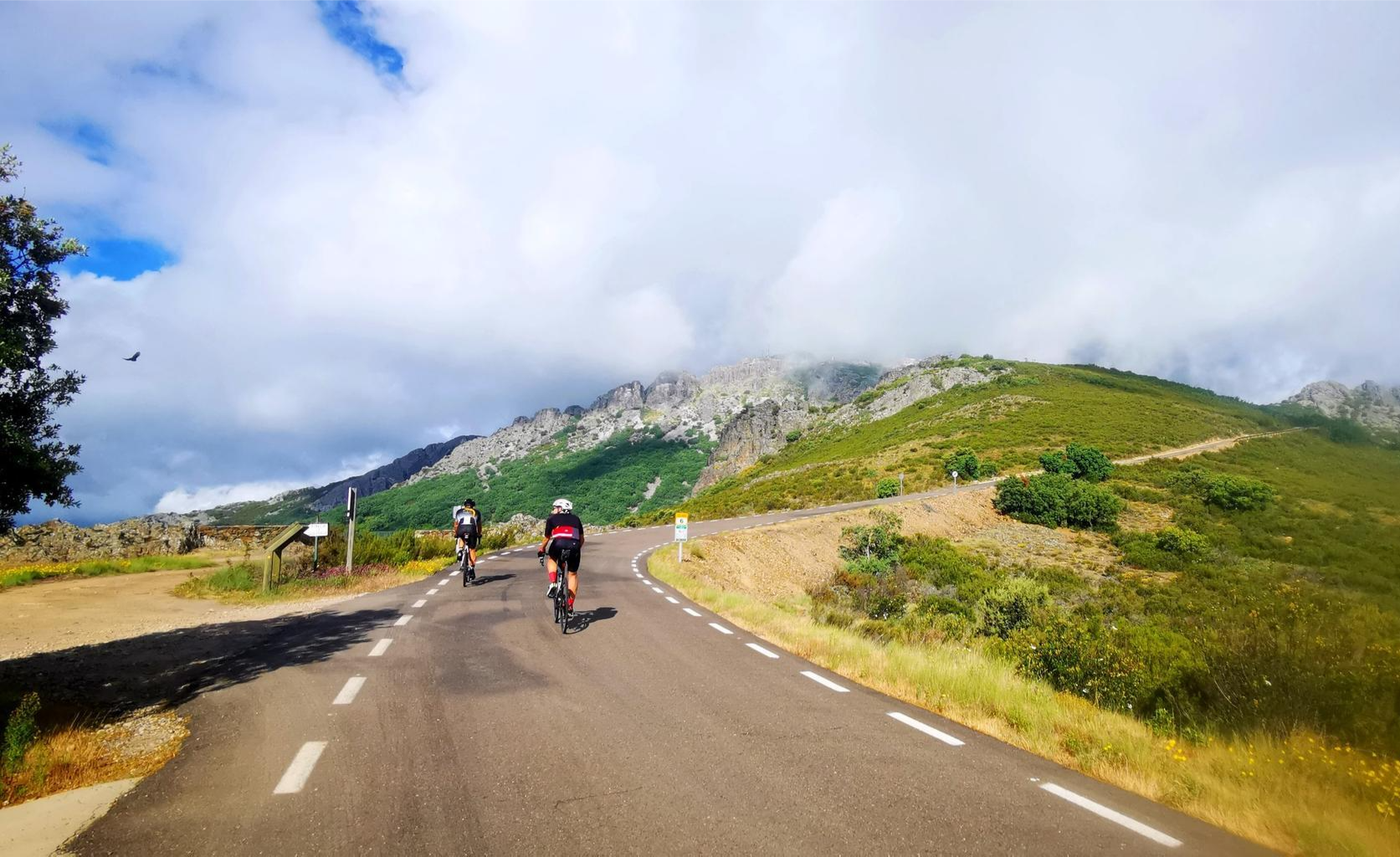
Legendary climbs - Ports of La Vuelta a España
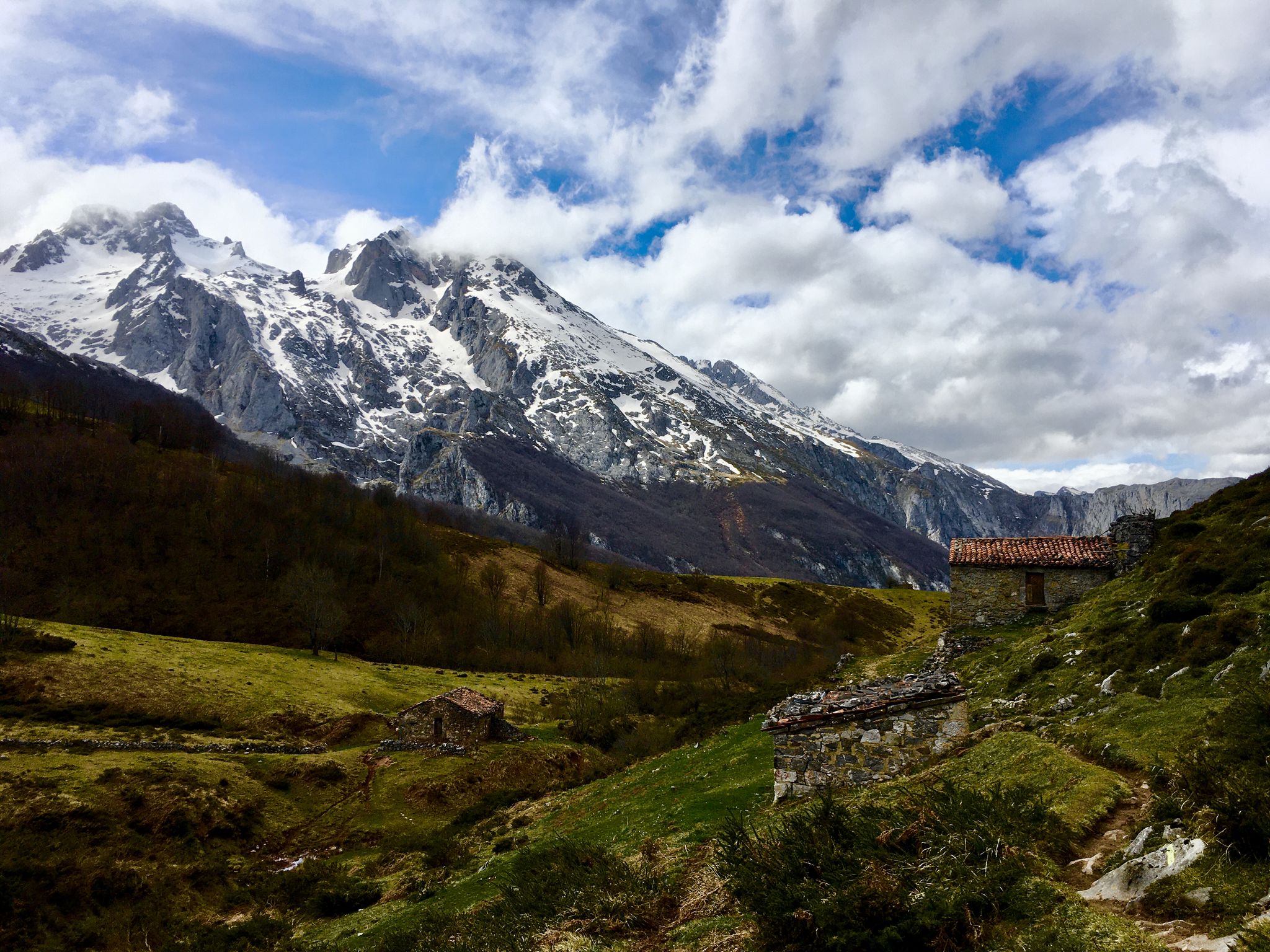
Route of the Reconquest (GR 202) – In the footsteps of an army
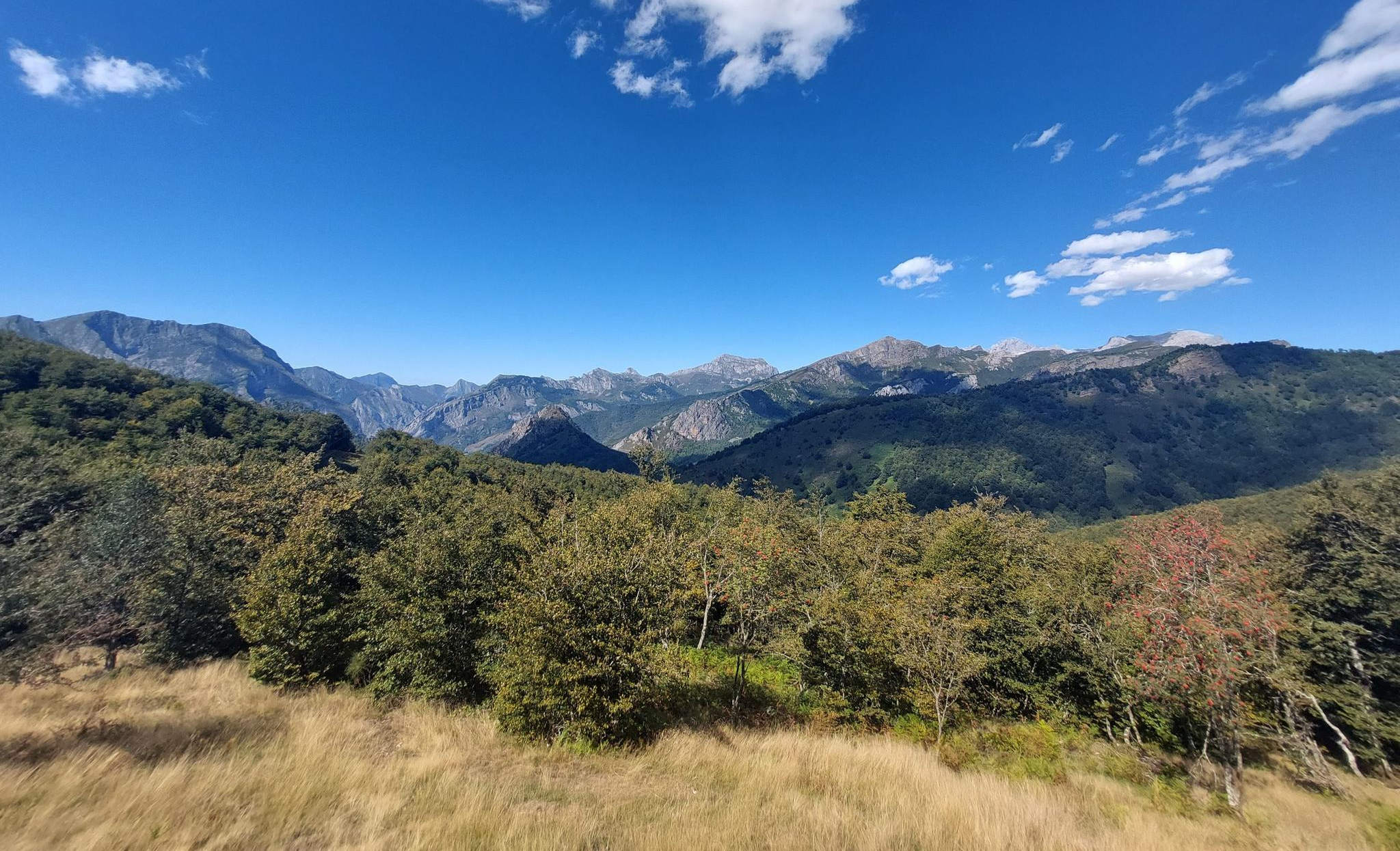
Senda del Arcediano (GR 210) - A historical hike through the Picos del Picos
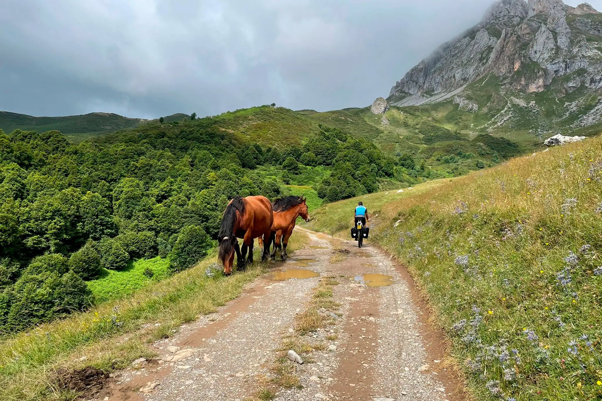
TransCantabrica – Extreme mountain biking in northern Spain
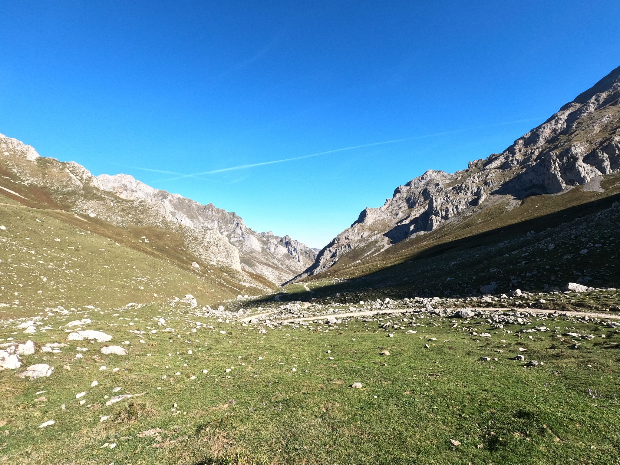
From statue to statue – Reconquista Challenge
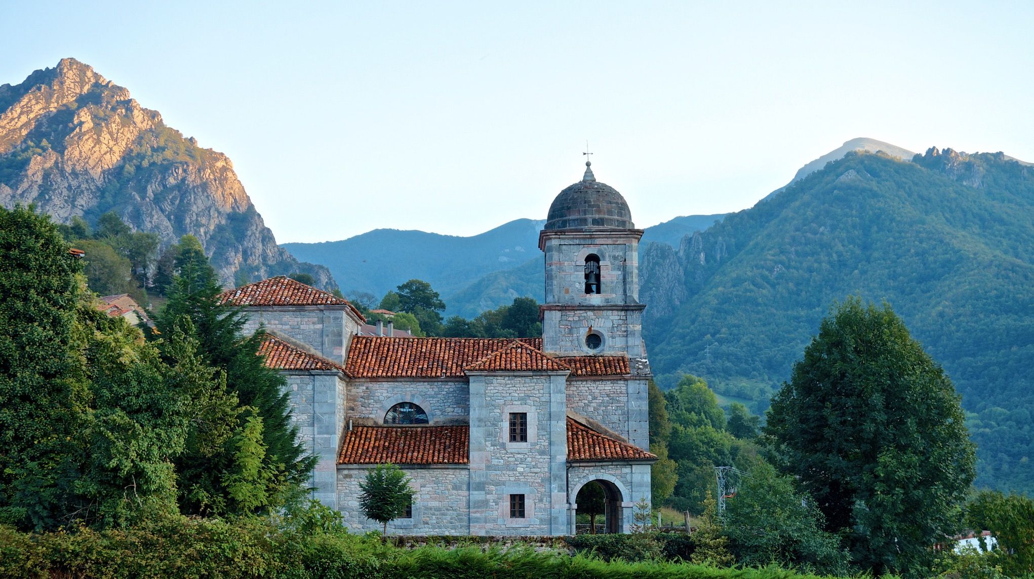
A trip through the mountains – Pedales de León MTB
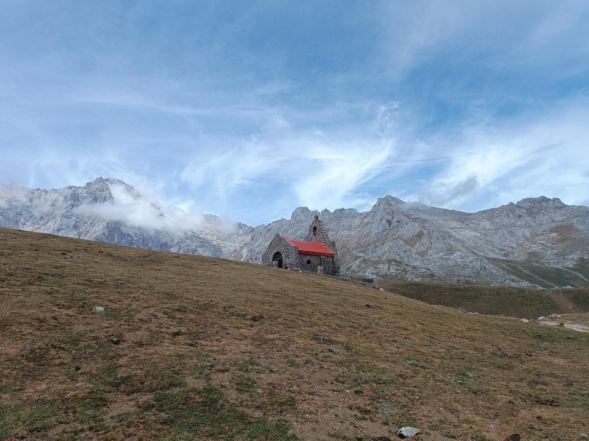
A pilgrimage to the peaks – Camino de los Santuarios
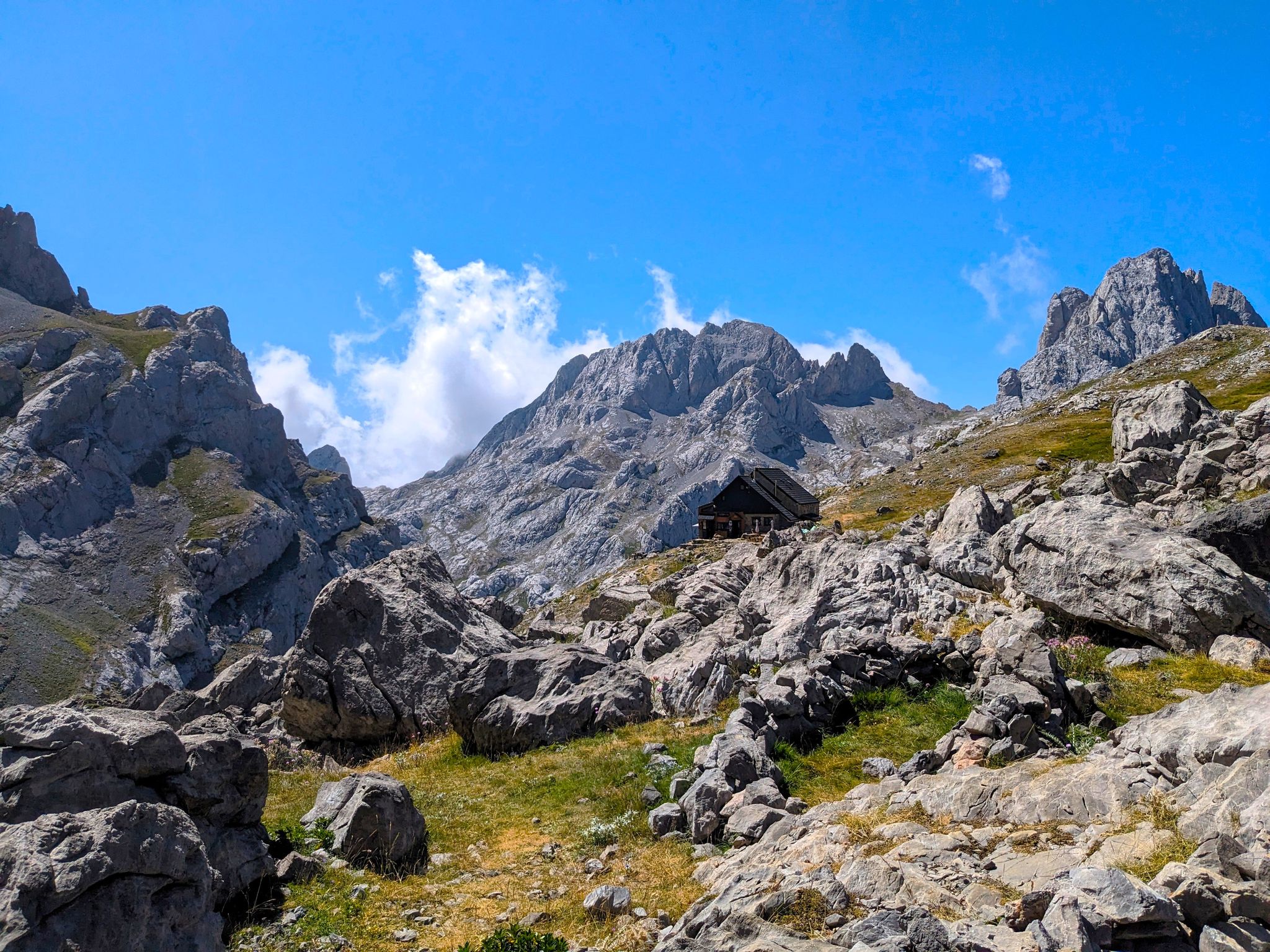
The untamed Collado Jermoso – Picos de Europa
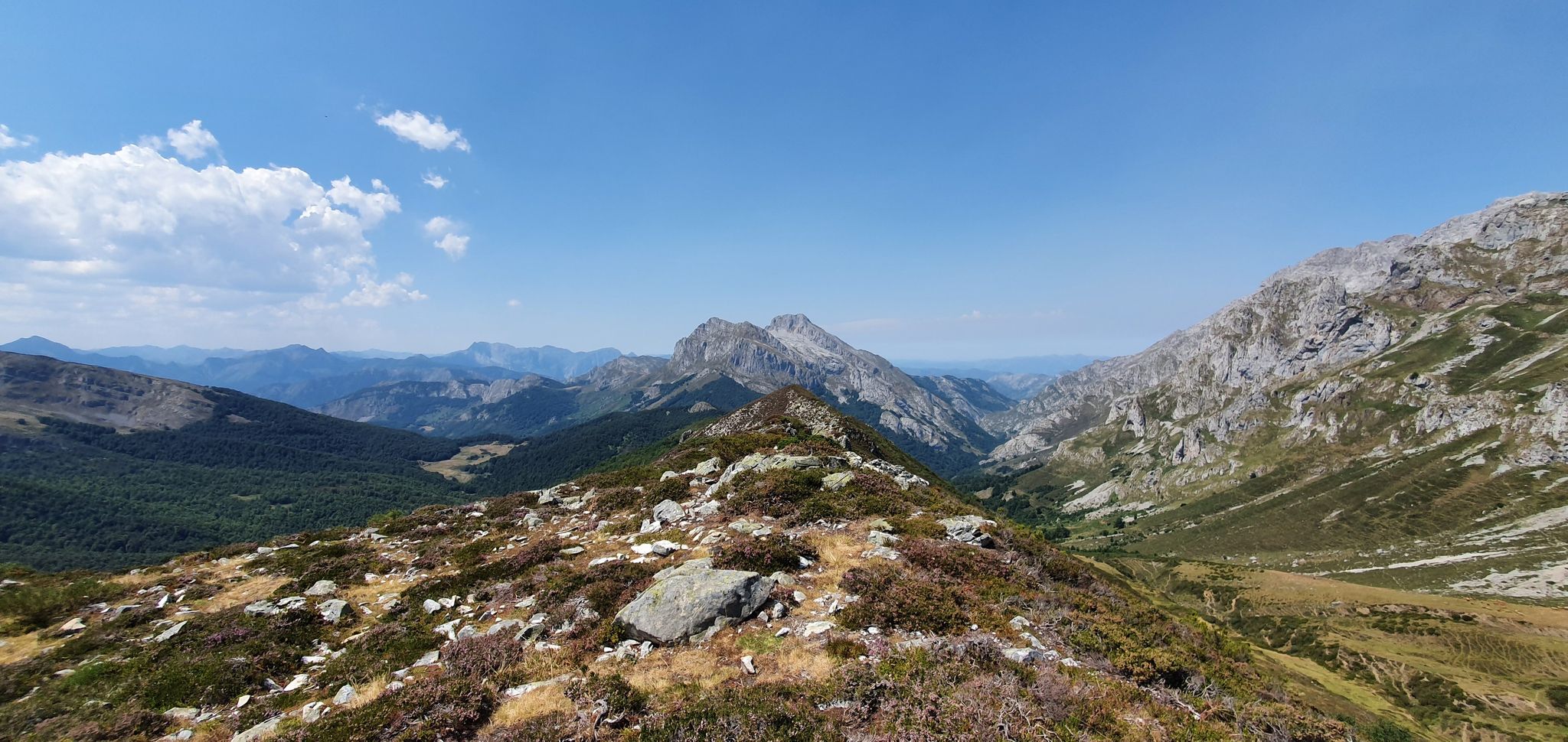
Four days hiking in Spain’s Picos de Europa – Anillo Vindio
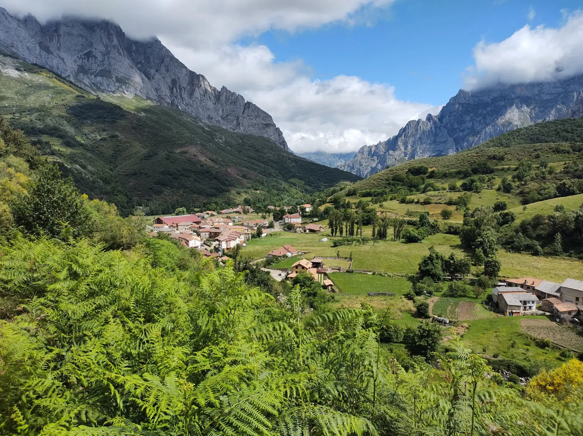
Hike Spain’s Picos de Europa – Ring of Peaks, Three Massifs
Other adventures around Parque Nacional de Picos de Europa


Tips from the Community

Lake Enol is the largest of the famous Covadonga lakes. It is located in the municipality of Cangas de Onís, in the heart of the Picos de Europa National Park in Asturias. Altitude: It is located 1,070 meters above sea level. Dimensions: It is 750 meters long and has a maximum depth of about 25 meters. This differentiates it from its neighbor, Lake Ercina, which is much shallower. Origin: It is a glacial lake with crystalline waters in emerald green tones. The submerged Santina: At its bottom rests a figure of the Virgin of Covadonga. Every September 8th (Asturias Day), a group of divers retrieves it to carry it in procession.
0
0
Ascent to the Lagos de Covadonga: Distance: About 14 kilometers from the village or sanctuary of Covadonga to Lake Ercina. Elevation gain: Around 1014 meters of climbing with an average gradient close to 7.4%. La Huesera: The most famous and difficult section, with 1.5 kilometers at 12% and maximum peaks of 15%. Tips for the Ascent Pace: Save your energy for the second half, as the first kilometers through the forest are demanding but steady (7% to 10%). Gearing: Bring a generous cassette with comfortable gears so you don't suffer too much on the double-digit gradients. Weather: The weather changes quickly in the mountains; check the sky before you leave and adjust your clothing accordingly.
0
0

On June 12, 1987, one of the greatest tragedies in the history of the Picos de Europa occurred. A Civil Guard helicopter was flying over the Lakes of Covadonga in a large-scale operation to find Germán Quintana, a 13-year-old boy who had disappeared days earlier. Difficult conditions and dense fog caused the aircraft to collide with the slope of the Sohornín peak, crashing near the road that connects the Enol and Ercina lakes. All seven occupants died in the accident: four Civil Guard officers and three canine guides from the Ertzaintza who had joined the search as volunteers with their dogs. Tragically, the boy was never found. This double tragedy shocked the country, and the rescuers are still remembered today with this stone monument erected at the site of the crash.
0
0
It's better to stop to see it on your way back to the sanctuary.
0
0
Also known as La peña del Elefante, or Elefante de Teon.
0
0

Nice village in the middle of the Valdeón valley. Nicely traditional in the middle of the high mountains.
0
0

The Mirador del Tombo is one of the most impressive views in the Valdeón Valley, in the Picos de Europa. Located very close to the village of Cordiñanes de Valdeón, it offers spectacular views of the Cares Gorge and the Central Massif of the Picos de Europa.
4
0
Cordiñanes de Valdeón is a small mountain village located in the Valdeón Valley, within the Picos de Europa National Park, in the province of León. Although less well-known than Caín or Posada de Valdeón, it offers access to spectacular trails and high-mountain landscapes.
4
0
Frequently Asked Questions
How many no-traffic road cycling routes are available in Parque Nacional de Picos de Europa?
There are 7 dedicated no-traffic road cycling routes listed in this guide for Parque Nacional de Picos de Europa. These routes offer a unique opportunity to experience the stunning landscapes with minimal vehicle interference.
What makes road cycling in Picos de Europa unique, especially for traffic-free routes?
The Picos de Europa region is renowned for its dramatic landscapes, challenging climbs, and spectacular views. For road cyclists, the significant advantage is the generally low traffic density, particularly on routes away from main thoroughfares. This allows for a more immersive experience, letting you focus on the breathtaking scenery of jagged peaks, deep gorges, and lush valleys.
What is the best time of year to enjoy traffic-free road cycling in Picos de Europa?
The best time to cycle in Picos de Europa is typically from late spring to early autumn (May to October). During these months, the weather is generally more stable, and mountain passes are clear of snow. Summer offers warmer temperatures, but spring and autumn provide pleasant conditions with fewer crowds and vibrant natural colors.
Are there any beginner-friendly no-traffic road cycling routes in Picos de Europa?
While many routes in Picos de Europa are known for their challenging climbs, this guide focuses on routes designed to minimize traffic. Most of the routes listed here are classified as moderate to difficult, reflecting the mountainous terrain. For example, the Santa Marina de Valdeón – View of the Picos de Europa loop from Posada de Valdeón is a moderate option, offering a good balance of challenge and reward.
What kind of terrain can I expect on the no-traffic road cycling routes?
You can expect varied and often challenging terrain. The Picos de Europa are famous for demanding ascents with steep gradients, leading to spectacular panoramic views. While some routes offer gentler, rolling sections, be prepared for significant elevation changes as you navigate through limestone massifs, deep gorges, and alpine settings.
What natural attractions can I see along the no-traffic road cycling routes?
Many routes pass by or offer views of the region's stunning natural features. For instance, the Holy Cave of Covadonga – Queen's Viewpoint loop from Cangas de Onís takes you near the iconic Lagos de Covadonga, including Lago Enol and Lake Ercina. Other routes might offer glimpses of the dramatic Cares Gorge or the impressive peaks like Picu Urriellu (Naranjo de Bulnes).
Are there any notable viewpoints on these routes?
Absolutely! The Picos de Europa are dotted with incredible viewpoints. Many routes are designed to maximize these scenic opportunities. For example, the Tombo Viewpoint – Cordiñanes de Valdeón loop from Caín de Valdeón includes the Tombo Viewpoint. You'll also find routes that offer views of the famous Lakes of Covadonga and other panoramic vistas of the Picos and surrounding valleys.
Are there circular no-traffic road cycling routes available?
Yes, several of the no-traffic road cycling routes in this guide are circular, allowing you to start and end at the same point. Examples include the Holy Cave of Covadonga – Queen's Viewpoint loop from Cangas de Onís and the Valdeón Viewpoint – Panderrueda Pass loop from Santa Marina de Valdeón. These loops are perfect for exploring without needing to retrace your steps.
What are the parking options for accessing these traffic-free routes?
Parking availability varies by starting point. Many villages and towns within or on the periphery of the National Park, such as Cangas de Onís, Posada de Valdeón, or Caín de Valdeón, offer public parking facilities. It's advisable to check specific parking regulations and availability for your chosen starting location, especially during peak season, as some areas may have restrictions or require payment.
Is public transport an option to reach the starting points of these routes?
Public transport options exist, though they can be limited in some of the more remote areas of the National Park. Buses connect some of the larger towns and villages, which can serve as starting points for routes. For example, Cangas de Onís is a well-connected hub. However, bringing a bike on public transport might require specific arrangements or be subject to space availability, so it's best to check with local transport providers in advance.
Can I find cafes or places to rest along these routes?
Yes, many of the routes pass through or near small villages where you can find local cafes, restaurants, and small shops to refuel and rest. Given that Picos de Europa is an inhabited National Park, you'll often encounter charming rural communities. However, on more remote sections, amenities might be sparse, so it's always wise to carry enough water and snacks.
What do other road cyclists enjoy the most about road cycling in Parque Nacional de Picos de Europa?
The area is highly rated by the komoot community, with an average score of 4.8 stars. Reviewers often praise the unparalleled natural beauty, the challenge of the climbs, and the rewarding panoramic views. The low traffic on many roads is a frequently highlighted benefit, allowing for a peaceful and immersive cycling experience amidst the dramatic mountain scenery.
Most popular routes around Parque Nacional de Picos de Europa
Most popular attractions around Parque Nacional de Picos de Europa

Get inspired with the komoot mobile app


Explore more
Browse the best Road cycling routes in other regions.
