The best hikes from bus stations in Préalpes D’Azur
4.5
(6651)
45,946
hikers
208
hikes
Bus station hiking trails in Préalpes D’Azur traverse a diverse landscape situated between the Mediterranean Sea and the Mercantour mountains. The region features dramatic geological formations, including deep gorges like the Gorges du Loup, expansive limestone plateaus, and verdant valleys. Elevations range from approximately 300 to 1,800 meters, offering varied terrain for hikers. This area is characterized by its rich biodiversity and numerous natural features, providing a distinct hiking experience.
Best bus station hiking trails in Préalpes D’Azur
- The most…
Last updated: October 3, 2026
4.8
(94)
553
hikers
6.69km
02:26
420m
420m
Hike the moderate Castellet Circuit, a 4.2-mile (6.7 km) route with 1368 feet (417 metres) of elevation gain, offering views from Baou de Sa
4.8
(102)
543
hikers
7.61km
02:39
410m
410m
Moderate hike. Good fitness required. Easily-accessible paths. Suitable for all skill levels.

4.7
(81)
395
hikers
6.34km
02:06
300m
300m
Hike the moderate 3.9-mile Plateau de Cavillore Trail near Gourdon, offering panoramic views of the Gorges du Loup and Côte d'Azur.
4.7
(11)
88
hikers
Moderate hike. Good fitness required. Mostly accessible paths. Sure-footedness required.
4.3
(9)
33
hikers
Moderate hike. Good fitness required. Mostly accessible paths. Sure-footedness required.
Get access to more routes and recommendations from other explorers.
Already have an account?
Our route recommendations are based on thousands of hikes, rides, and runs completed by other people on komoot.
Start today with a free account
Your next adventure awaits.
Popular around Préalpes D’Azur
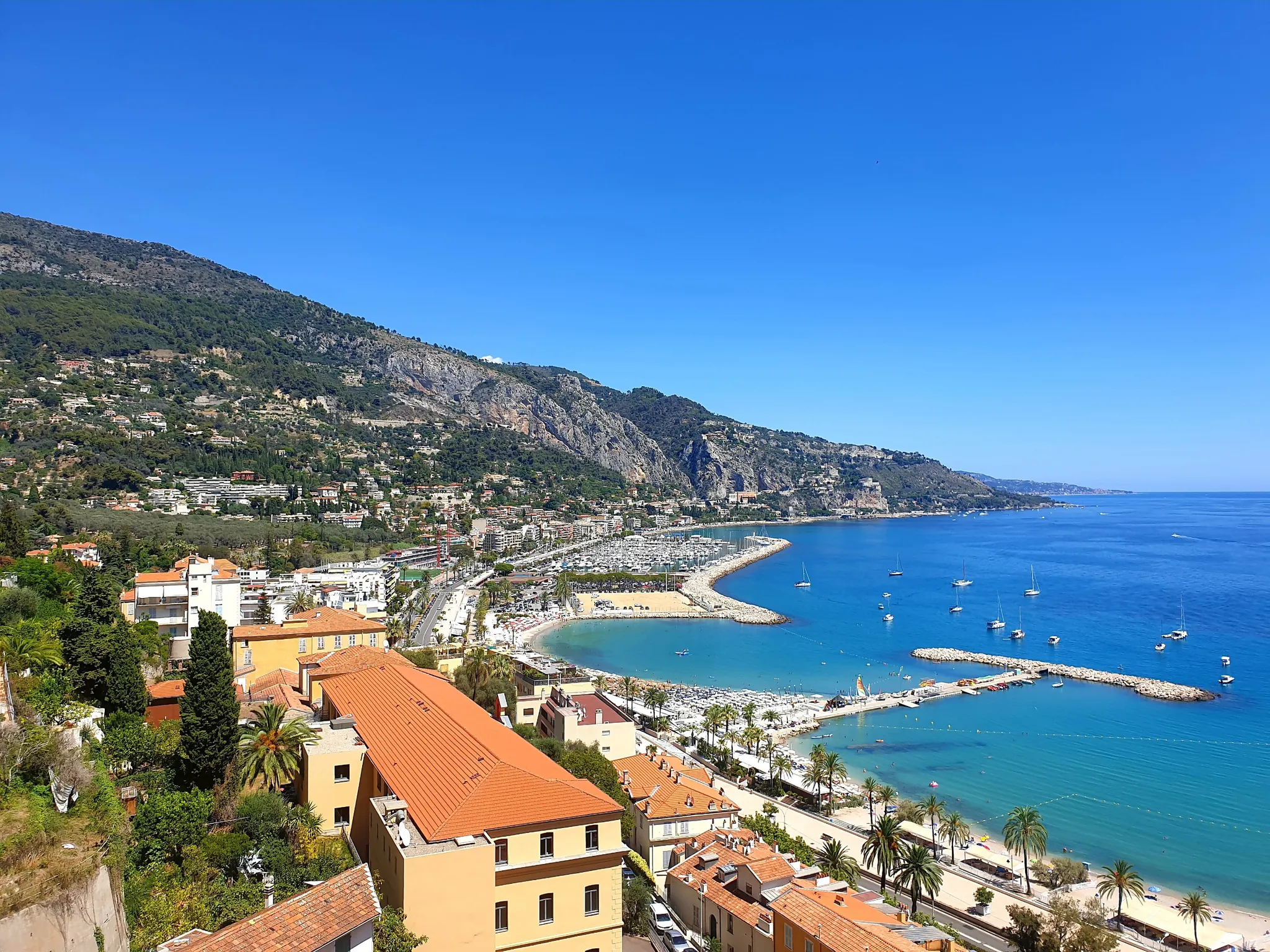
Between sea and mountains – other balcony of the Mediterranean
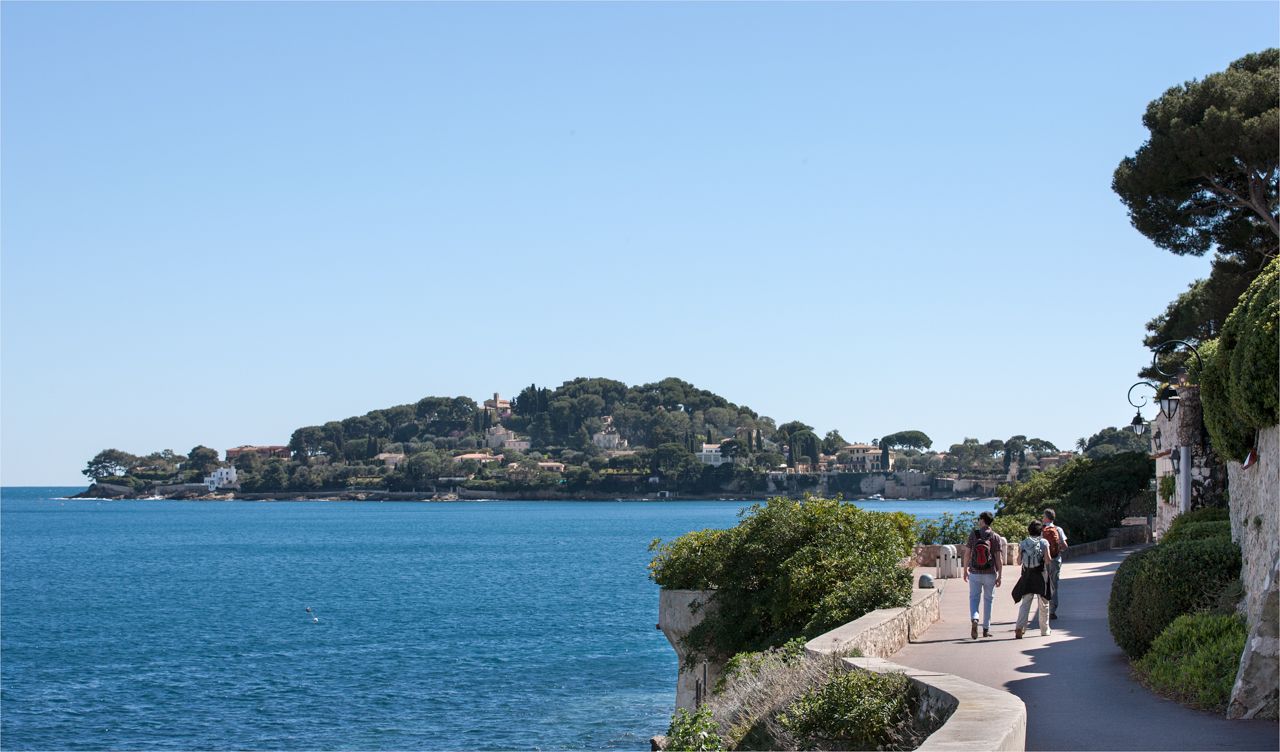
Côte d'Azur panoramas – hikes between land and sea around Nice
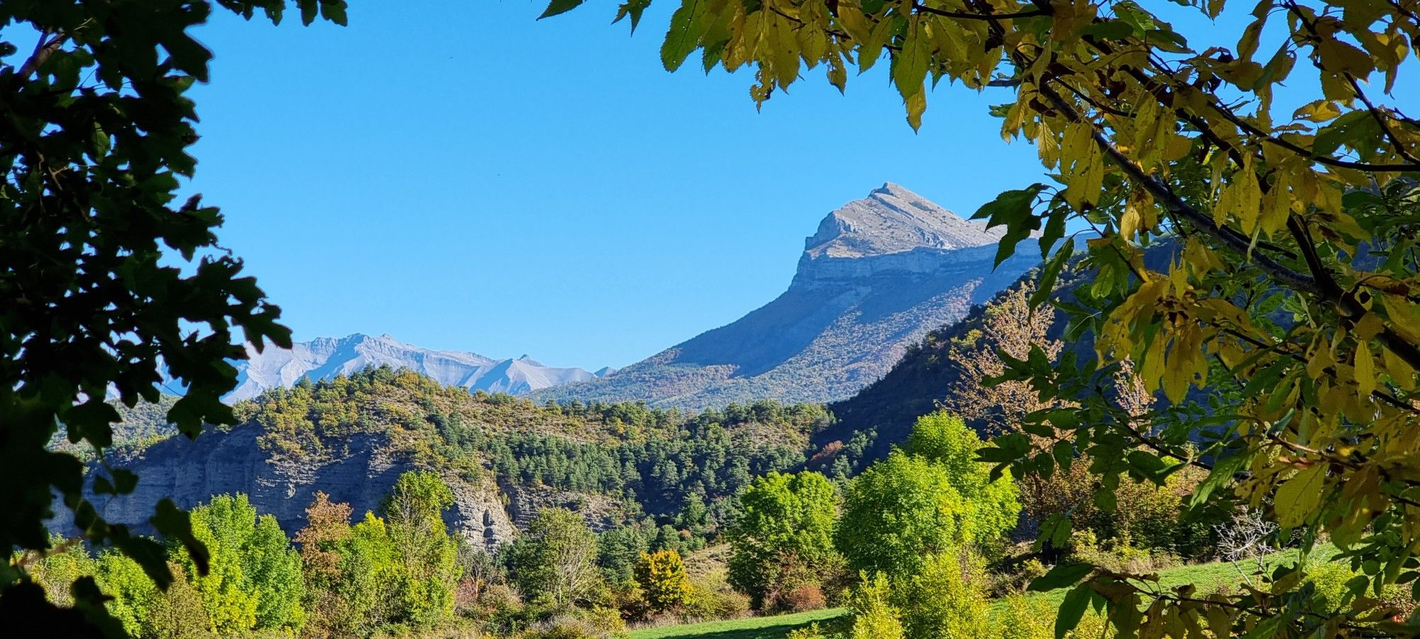
The Napoleon Route – GR 406

Transalps MTB – Chamonix to the Mediterranean Sea
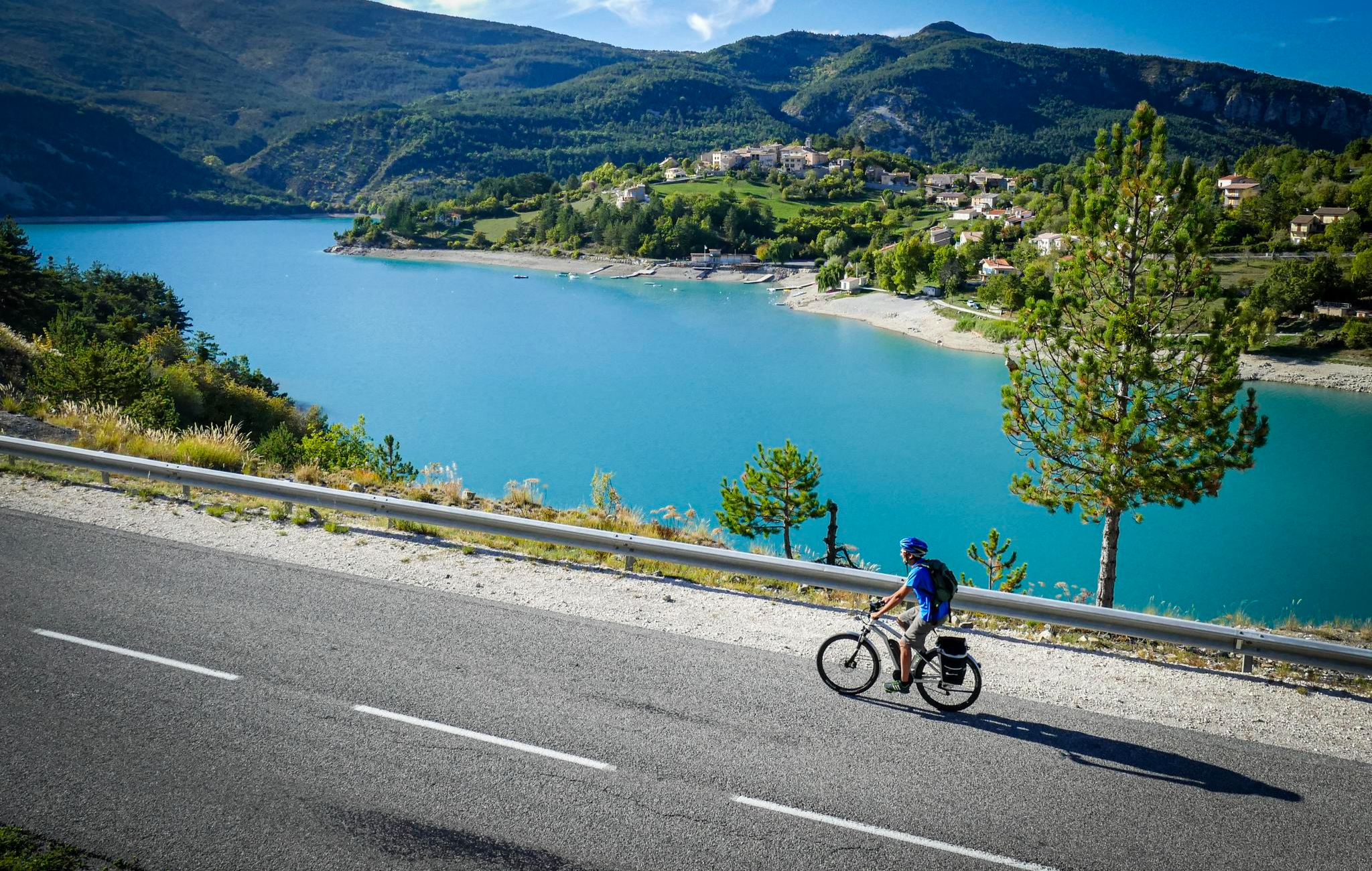
P'tites Routes du Soleil (Little Routes of the Sun)
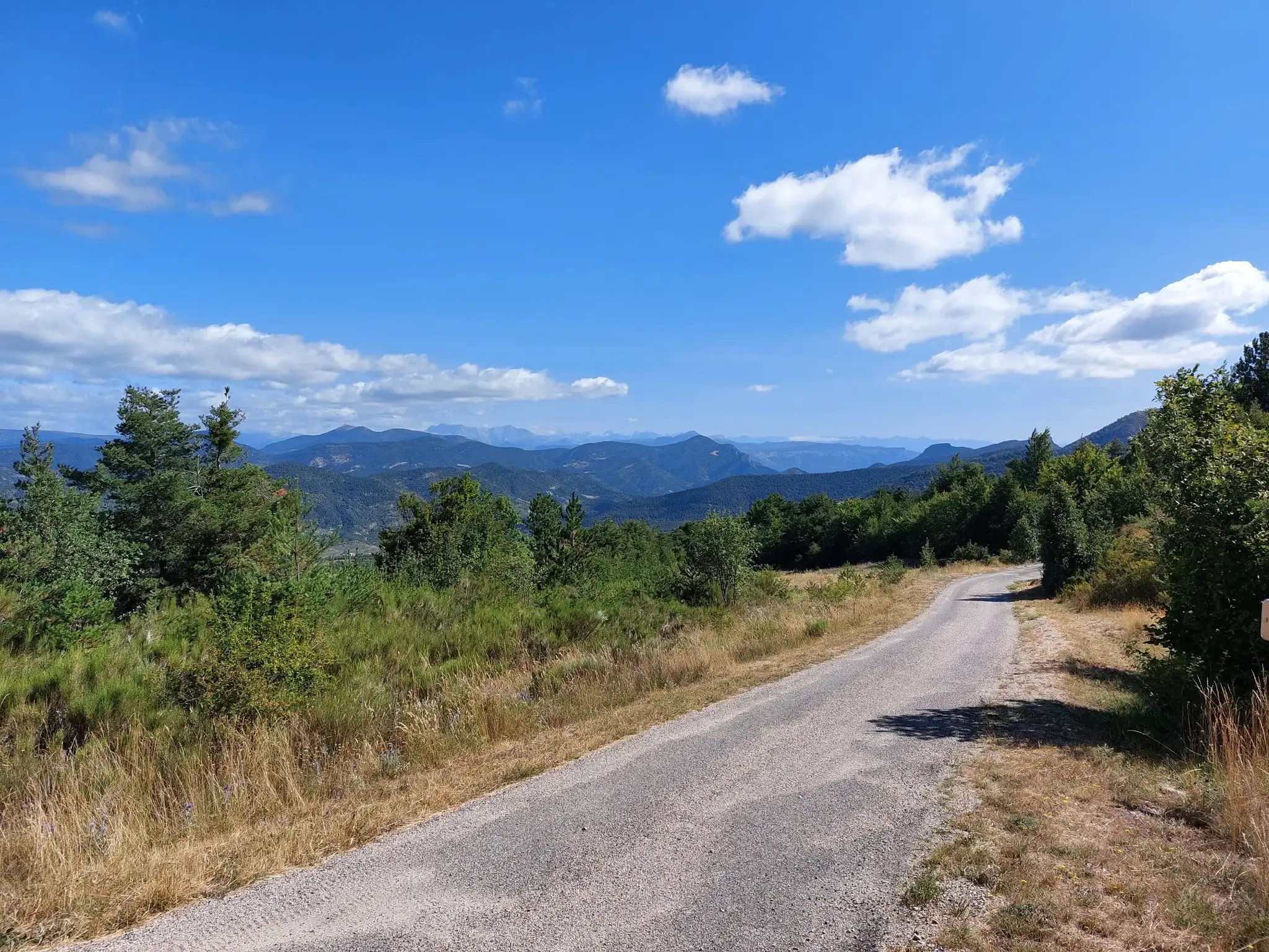
P'tites Routes du Soleil – crossing the pre-Alps from Lake Geneva to Nice
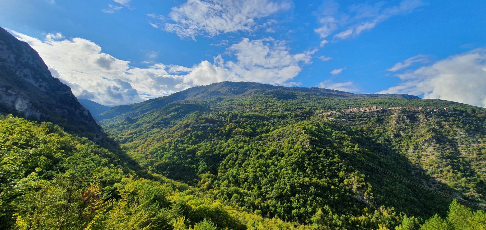
In the land of clues – grand tour of the Préalpes d'Azur
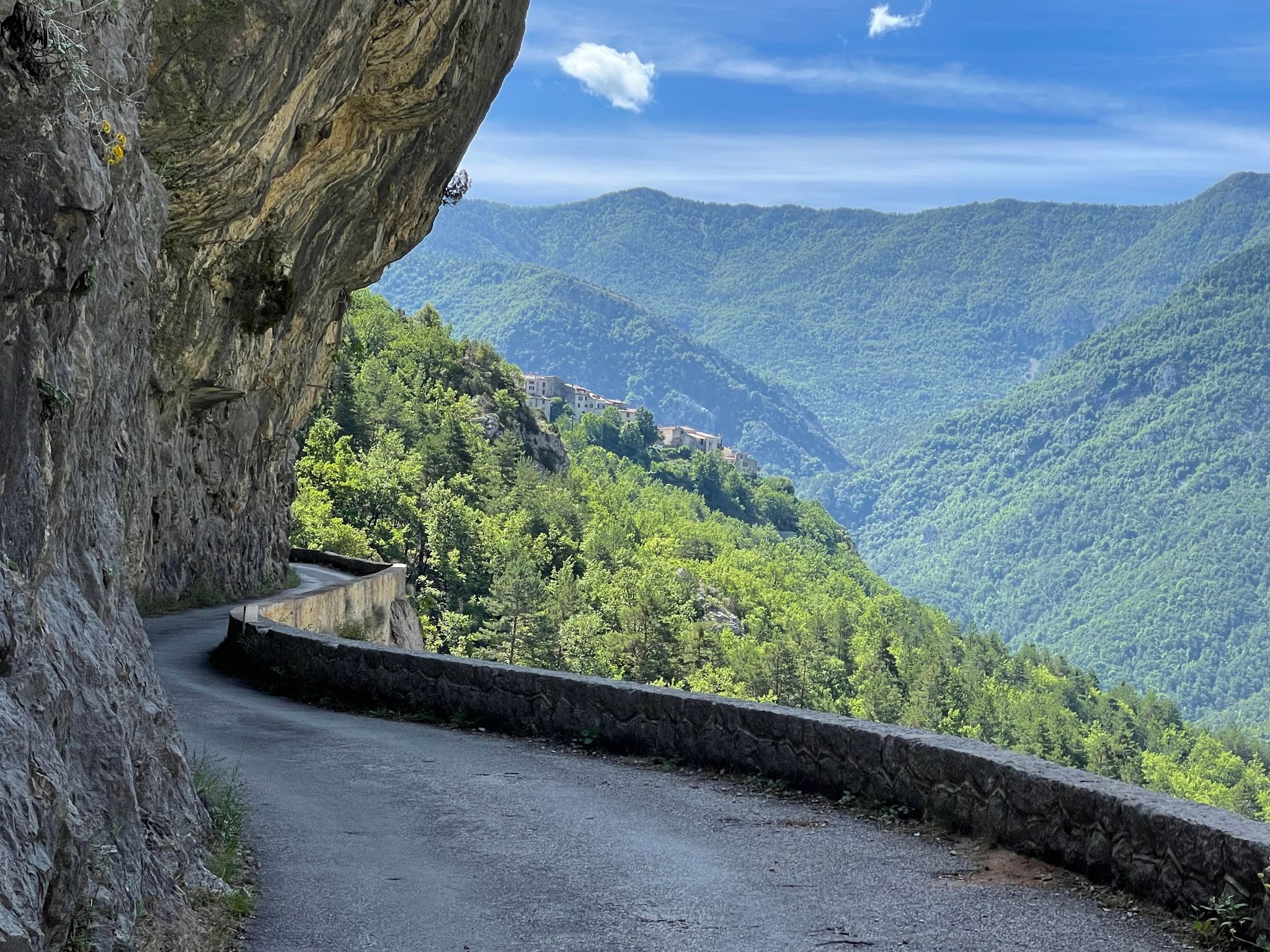
From passes to canyons – cycling in France’s Alpes d'Azur
Other adventures in Préalpes D’Azur


Tips from the Community

Beautiful view of the sea and the surroundings of the azure pre-Alps
0
1

Perched at an altitude of 480 meters, the Notre-Dame des Baous Chapel dates from the 17th century. It offers a breathtaking view of the Var valley and the Mediterranean. A must-see site before or after a hike, just a few steps from Saint-Jeannet!
0
0
The Baou de Saint-Jeannet peaks at 802 meters, offering a spectacular view of the Côte d'Azur and the Nice hinterland. This limestone massif is popular with hikers and climbers for its numerous climbing routes and steep trails.
3
1

You'll want to take a break from your run to take in the amazing views from the top of Baou de la Gaude, rivaled only by the views from the summit itself.
2
0

Pretty little medieval hanging village. And a magnificent view of the French Riviera from Nice to Cannes!
4
0

Good haunt to go around the Baou via the Sources then the Castellet
1
0

Great little hike 👍🏽👌🏾
3
0

The Saint-Vincent church was built between the 10th and 12th centuries.
10
0
Frequently Asked Questions
How many bus-accessible hiking trails are available in Préalpes D’Azur?
There are over 210 hiking routes in Préalpes D’Azur that are accessible from bus stations. These trails range from easy strolls to more challenging excursions, offering a wide variety of experiences for all skill levels.
What is the best time of year to hike from bus stations in Préalpes D’Azur?
The Préalpes D’Azur region is beautiful year-round, but spring (April-June) and autumn (September-October) offer the most pleasant hiking conditions with mild temperatures and vibrant landscapes. Summer can be warm, especially at lower altitudes, while winter offers opportunities for snowshoeing at higher elevations, though bus access might be more limited then.
Are there easy hiking options accessible by bus for beginners or families?
Yes, Préalpes D’Azur offers a good selection of easy bus-accessible hikes, with over 30 routes classified as easy. These trails are generally shorter and have less elevation gain, making them suitable for beginners or families with children. Look for routes that explore the charming villages or offer gentle riverside walks.
Can I bring my dog on these bus-accessible trails?
Many trails in the Préalpes D’Azur Regional Nature Park are dog-friendly, but it's crucial to keep your dog on a leash to protect local wildlife and livestock. Always check specific trail regulations and be mindful of protected areas where dogs might be restricted. Ensure you carry enough water for your dog, especially on warmer days.
What natural attractions can I expect to see on bus-accessible hikes?
The region is rich in natural wonders. Many bus-accessible hikes will lead you through spectacular gorges like the Gorges du Loup, past picturesque waterfalls such as the Ray Waterfall, and offer views of impressive limestone formations. You might also encounter unique features like the Tuves Bridge and Cave, which are often accessible via trails.
Are there any charming villages or cultural sights accessible via bus-friendly hikes?
Absolutely. The Préalpes D’Azur is dotted with beautiful perched villages. Hikes often start or pass through places like Saint-Jeannet or Gourdon, allowing you to explore their historical architecture, chapels, and local markets. The Castellet Circuit, for instance, offers a blend of natural beauty and village charm.
What kind of terrain and elevation gain should I expect on bus-accessible hikes in Préalpes D’Azur?
The terrain in Préalpes D’Azur is incredibly diverse, ranging from gentle paths across limestone plateaus to more rugged trails through gorges and up to mountain passes. Elevation gains can vary significantly; easy routes might have minimal ascent, while moderate hikes like Le Baou de Saint-Jeannet can involve several hundred meters of climbing, offering rewarding panoramic views from summits like Courmettes peak.
Are there circular routes available from bus stops?
Yes, many bus-accessible routes in Préalpes D’Azur are designed as circular walks, allowing you to start and end your hike at the same bus stop without needing to arrange return transport. An example is the Revest-les-Roches to Mont Vial loop, which offers a substantial circular journey.
Do I need any special permits to hike in Préalpes D’Azur?
Generally, no special permits are required for day hiking on marked trails within the Préalpes D’Azur Regional Nature Park. However, always respect local regulations, especially concerning protected areas, private property, and any specific rules for activities like bivouacking or campfires. It's always a good idea to check the park's official website for the latest information.
What do other hikers say about the bus-accessible trails in Préalpes D’Azur?
The bus-accessible trails in Préalpes D’Azur are highly rated by the komoot community, with an average score of 4.5 stars from over 5,500 ratings. Reviewers often praise the stunning and varied landscapes, the well-maintained paths, and the convenience of accessing such beautiful nature directly from public transport.
Are there longer, more challenging bus-accessible routes for experienced hikers?
For experienced hikers seeking a challenge, there are several difficult bus-accessible routes, with over 50 options available. These trails often feature significant elevation gains and longer distances, such as the Bézaudun-les-Alpes to Mouton d'Anou loop, which offers a rewarding full-day adventure through diverse landscapes.
Are there amenities like cafes or restrooms near bus-accessible trailheads?
Many bus-accessible trailheads are located in or near villages, which often provide amenities such as cafes, restaurants, and public restrooms. For example, routes starting from villages like Gourdon or Saint-Jeannet will likely have facilities available. It's advisable to check the starting point of your chosen route for specific amenity information.
Most popular routes in Préalpes D’Azur
Most popular attractions in Préalpes D’Azur

Get inspired with the komoot mobile app


Explore more
Browse the best Hikes in other regions.
