The best hikes from bus stations around Monyash
4.6
(12696)
66,000
hikers
36
hikes
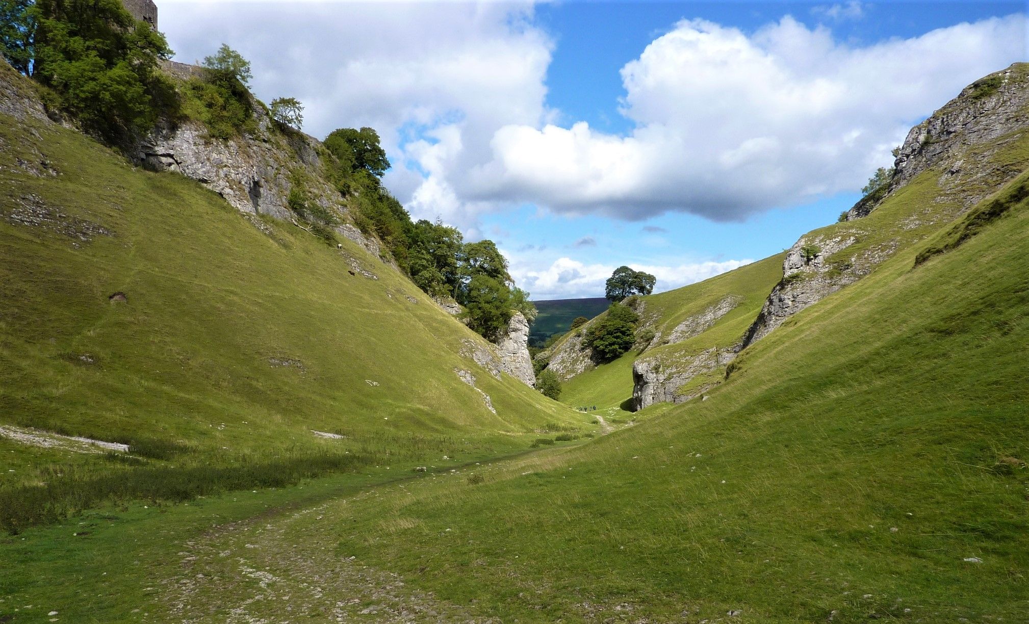
Hiking around Monyash offers access to the distinctive landscapes of the Derbyshire Peak District's White Peak area. The region is characterized by picturesque limestone dales, such as Lathkill Dale and Bradford Dale, featuring clear rivers and dramatic limestone formations. Rolling fields and gentle hills define the surrounding White Peak plateau, providing a variety of footpaths. The area's geology, rich in limestone, contributes to its unique terrain.
Best bus station hiking trails around Monyash
- The most popular bus station hiking route…
Last updated: October 31, 2026
4.7
(133)
409
hikers
18.0km
05:04
360m
360m
Hard hike. Very good fitness required. Easily walkable paths.
4.7
(110)
427
hikers
6.17km
01:42
100m
100m
Easy hike. Easily walkable paths.

4.8
(42)
181
hikers
14.2km
03:53
210m
210m
Moderate hike. Good fitness required. Easily walkable paths.
4.7
(11)
64
hikers
8.49km
02:16
90m
90m
Moderate hike. Good fitness required. Easily walkable paths.
5.0
(3)
26
hikers
17.8km
04:54
290m
290m
Moderate hike. Good fitness required. Easily walkable paths.
Get access to more routes and recommendations from other explorers.
Already have an account?
Our route recommendations are based on thousands of hikes, rides, and runs completed by other people on komoot.
Start today with a free account
Your next adventure awaits.


Tips from the Community

A stunning trig point that offers some great 360 views
0
0
Magpie mine very impressive with some old buildings and machinery, there is a QR code that will give information on the mine
0
0

Nice area to stop by, have a snack and enjoy the peaceful noise of a running stream. Don't stop if you need to pee haha! :)
0
0

What a fabulous post this has been. Never seen this kind of useful post. I am grateful to you and expect more number of posts like these. Thank you very much. https://www.targetpayandbenefits.it.com
0
0

Great views at the top old train lines bridge great views see the photos 📸
1
0
Frequently Asked Questions
How many bus station hiking trails are available around Monyash?
There are 39 dedicated hiking routes around Monyash that are easily accessible from bus stations. These routes offer a variety of experiences, from gentle strolls to more challenging treks through the stunning White Peak landscape.
What kind of terrain can I expect on bus station hikes near Monyash?
The terrain around Monyash, situated in the White Peak area, is characterized by rolling fields, gentle hills, and dramatic limestone dales such as Lathkill Dale and Bradford Dale. You'll encounter well-established footpaths, some paved sections, and natural trails that can be rocky or muddy, especially in the dales. The area is rich in limestone formations, offering unique geological features.
Are there any easy, family-friendly bus station walks in Monyash?
Yes, Monyash offers several easy routes suitable for families. Approximately 13 of the bus station accessible hikes are rated as easy. These often follow gentler paths through the White Peak countryside or along the less strenuous sections of the dales. Look for routes that explore the village surroundings without significant elevation changes.
Can I find circular routes starting from the bus stop in Monyash?
Many of the routes around Monyash are designed as circular walks, making them ideal for starting and ending at the same point, such as a bus stop. These loops allow you to explore the diverse landscapes, including Lathkill Dale and the surrounding open countryside, without needing to retrace your steps.
Are the bus station hiking trails around Monyash dog-friendly?
Many trails in the Peak District, including those around Monyash, are dog-friendly. However, it's crucial to keep dogs on a lead, especially when passing through fields with livestock and during ground-nesting bird season (March to July). Lathkill Dale, for example, is a Site of Special Scientific Interest (SSSI), where responsible dog ownership is paramount to protect wildlife.
What natural attractions can I see on hikes from Monyash bus stations?
Hiking from Monyash bus stations offers access to several natural wonders. You can explore the picturesque Lathkill Dale, known for its clear river and limestone cliffs, and even visit Lathkill Head Cave where the river emerges. Other notable features in the wider area include Monsal Dale Weir and the dramatic limestone hills like Chrome Hill and Parkhouse Hill.
Are there any routes that feature waterfalls or rivers?
Yes, Lathkill Dale is particularly known for its beautiful river, the River Lathkill, which often features captivating waterfalls, especially after rainfall. Routes like the Lathkill Head Cave – Upper Lathkill Dale loop from Monyash CP will take you along this stunning river and past its source.
What is the best time of year to hike around Monyash?
The Peak District, including Monyash, is beautiful year-round. Spring brings wildflowers to the dales, while summer offers longer daylight hours and generally warmer weather. Autumn provides stunning foliage, and winter can offer crisp, clear views, though trails may be muddy or icy. Always check local weather conditions before heading out.
What do other hikers say about the trails around Monyash?
The hiking trails around Monyash are highly regarded by the komoot community, with an average rating of 4.6 out of 5 stars from over 10,900 ratings. Hikers frequently praise the stunning natural beauty of Lathkill Dale, the variety of landscapes, and the well-maintained paths that make exploring the White Peak a rewarding experience.
Are there any historical sites or landmarks accessible from Monyash bus station hikes?
Yes, the area is rich in history. You can explore sites like Fin Cop Hillfort, an ancient defensive structure. Additionally, routes such as the Magpie Mine – Fere Mere loop from Monyash CP can take you past historical mining landscapes, offering a glimpse into the region's industrial past.
What is the difficulty level of the bus station hikes in Monyash?
The bus station hikes around Monyash cater to a range of abilities. There are 13 easy routes, 22 moderate routes, and 4 more difficult options. Moderate routes, such as the View of Lathkill Dale – Weirs on the River Lathkill loop from Monyash CP, often involve longer distances or some elevation changes, while difficult routes like the Monsal Dale Weir – Headstone Viaduct, Monsal Dale loop from Monyash CP will challenge experienced hikers with significant distance and ascent.
Most popular routes around Monyash
Most popular attractions around Monyash
Get inspired with the komoot mobile app


Explore more
Browse the best Hikes in other regions.