The best MTB trails in the Manzano Mountains
4.8
(32)
682
riders
37
rides
Mountain biking in the Manzano Mountains features a diverse landscape, transitioning from high desert at lower elevations to subalpine forests at higher altitudes. The region is characterized by dramatic canyons and an east-tilted fault block, with elevations ranging up to 10,098 feet at Manzano Peak. This area provides varied terrain for mountain bikers, from flowing singletracks to routes with significant elevation gains.
Best mountain bike trails in the Manzano Mountains
- The most popular mountain bike trail is U Mound Loop, a 1.8 miles (2.9 km) trail that takes about 19 minutes to complete. This easy route offers views of the surrounding mountains.
- Another top favourite among local mountain bikers is Trail 365: Central South Loop – 305–365 Connector Trail loop from High Desert Park, a moderate 14.8 miles (23.8 km) path. This trail system provides options suitable for various fitness and skill levels.
- Local mountain bikers also love the View of Red Hill loop from The Merc, an 8.2 miles (13.2 km) trail leading through varied terrain, often completed in about 1 hour 16 minutes.
- Mountain biking in the Manzano Mountains is defined by diverse ecosystems, dramatic canyons, and panoramic views. The network offers options for different ability levels, from easy loops to challenging routes with significant elevation changes.
- The routes in Manzano Mountains are highly rated by the komoot community with an average score of 4.7 stars from more than 20 reviews. More than 600 mountain bikers have used komoot to explore Manzano Mountains's varied terrain.
Last updated: July 7, 2026
2.87km
00:19
80m
80m
The U Mound Loop offers a delightful taste of the New Mexico desert, winding through steep-sloped hills and gravelly drainages at the foot of the Sandia Mountains. You'll pedal past a rich variety of desert shrubs like chamisa and apache plume, alongside prickly pear cacti and juniper trees, creating a vibrant "desert wonderland" feel. The route culminates in stunning city views, especially from the U-Mound summit, which provides a fantastic vantage point over Albuquerque.
This easy 1.8-mile (2.9 km) mountain biking loop is easily accessible from the Copper Trailhead, which has parking facilities, making it a convenient option for a quick ride. With only 266 feet (81 metres) of elevation gain, most riders can complete it in about 18 minutes. It's a great choice for beginners or those seeking a relaxed outing, and dogs are welcome on leash.
Part of the extensive Sandia Foothills Open Space, the U Mound Loop is a small but rewarding segment of a much larger trail network. The area is teeming with wildlife, so keep an eye out for mule deer, coyotes, and various bird species as you ride. While generally easy, some sections feature coarse granite rocks, adding a touch of varied terrain to this scenic desert experience.
68
riders
23.8km
02:18
430m
430m
Moderate mountain bike ride. Good fitness required. Advanced riding skills necessary.

Sign up for free
5.0
(1)
49
riders
14.4km
01:24
300m
300m
Moderate mountain bike ride. Good fitness required. Advanced riding skills necessary.
5.0
(2)
30
riders
Moderate mountain bike ride. Good fitness required. Suitable for all skill levels.
59
riders
Easy mountain bike ride. Great for any fitness level. Suitable for all skill levels.
13
riders
The Intersection of Trails 365 and 366 – Sandia Foothills Trail 365 loop offers a diverse mountain biking experience, weaving through a captivating desert landscape. You'll encounter a mix of smooth, fast singletrack and rough, rocky sections, all framed by the dramatic Sandia Crest to the east and expansive views of Albuquerque to the west. Expect to see cacti, juniper, and piñon trees as you navigate boulder fields and valleys carved by snowmelt, making for a scenic and engaging ride.
This moderate 26.5-mile (42.6 km) route, with 2518 feet (767 metres) of elevation gain, typically takes around 3 hours and 42 minutes to complete. Parking is readily available at the Sandia Peak Aerial Tramway, providing easy access to the trailhead. Remember to bring ample water, as there are no water sources along the trail, and be prepared to share the path with hikers and horses due to its popularity.
Part of an extensive multi-use trail system, this loop benefits from its proximity to Albuquerque, offering a natural escape without a long drive. The northern sections, including those near the Tramway, are generally considered tamer and more beginner-friendly, though experienced riders can still find plenty of challenge by increasing their speed. The "365" in the trail name is a nod to its year-round accessibility, though conditions will vary with the seasons.
5.0
(1)
12
riders
Easy mountain bike ride. Great for any fitness level. Suitable for all skill levels.
5.0
(4)
13
riders
Hard mountain bike ride. Good fitness required. Advanced riding skills necessary. Some portions of the route may require you to push your bike.
5.0
(3)
11
riders
41.2km
04:30
1,180m
1,180m
Hard mountain bike ride. Very good fitness required. Advanced riding skills necessary. Some portions of the route may require you to push your bike.
4.0
(1)
9
riders
15.6km
01:30
280m
280m
The Mountainbike loop from Coyote Trailhead offers a classic New Mexico desert singletrack experience, weaving through pinyon pine and juniper trees with views of the Sandia Mountains. You'll encounter a mix of smooth, rolling sections and technical challenges, including rock slab ledges and loose, chunky rock. This 9.7-mile (15.6 km) route, with its 914 feet (279 metres) of elevation gain, is rated difficult and takes about 1 hour and 29 minutes, making it ideal for intermediate riders seeking a varied and engaging ride.
To plan your visit, note that the Coyote Trail is a multi-use path shared with dirt bikers and hikers, so stay alert. The trail is well-signed, but carrying a map is recommended due to connections with other routes in the Manzanita Mountain Trail System. Fall and spring offer the most pleasant riding conditions, with milder temperatures perfect for exploring this forested desert terrain. Parking is available directly at the Coyote Trailhead.
Part of the larger Manzanita Mountain Trail System within the Cibola National Forest, this trail provides a taste of the diverse riding available in the area. The terrain transitions from smoother sections to more technical climbs with
Get access to more routes and recommendations from other explorers.
Sign up for free
Already have an account?
Our route recommendations are based on thousands of hikes, rides, and runs completed by other people on komoot.
Start today with a free account
Your next adventure awaits.
Login or Signup
Popular around Manzano Mountains

Grand Enchantment Trail — Slot canyons, spruce peaks & desert solitude

New Mexico Off-Road Runner

Historic Route 66 – curiosities, selfie spots and diners
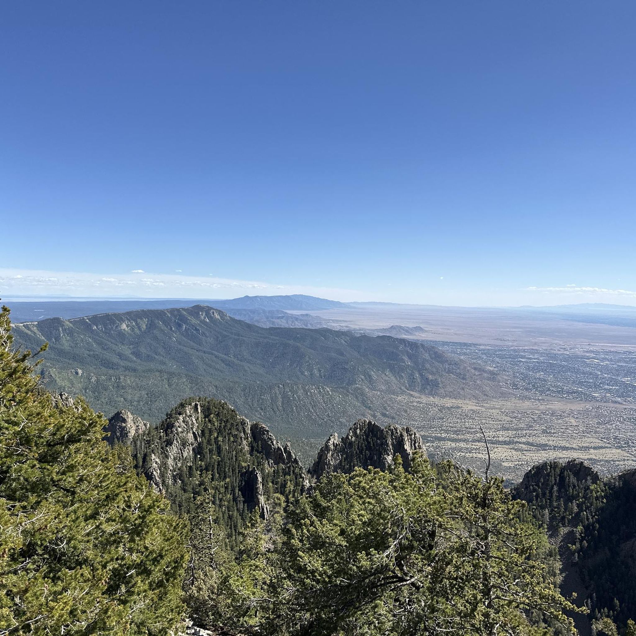
Hiking in the Manzano Mountains
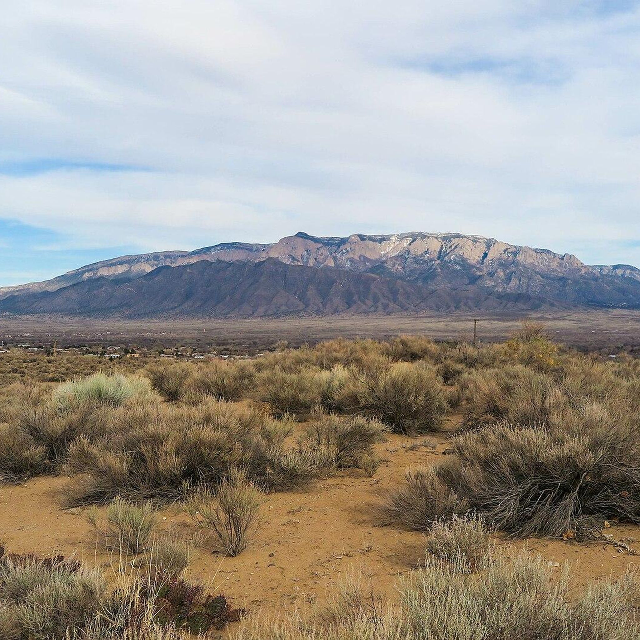
Running Trails in the Manzano Mountains
Road Cycling Routes in the Manzano Mountains
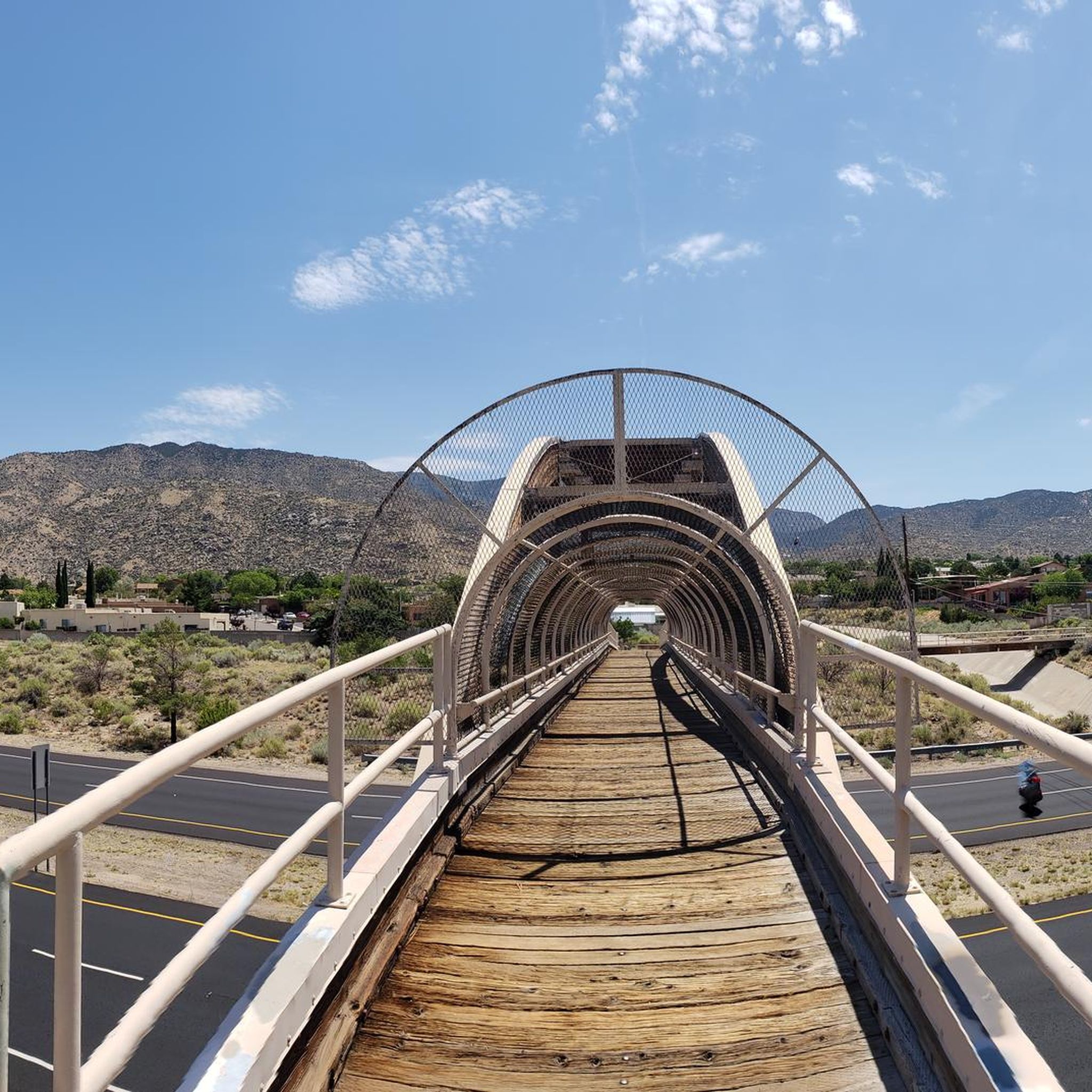
Cycling in the Manzano Mountains

Gravel biking in the Manzano Mountains


Tips from the Community

Loose gravel and pointy rocks, so use some caution when speeding up.
0
0
Heads Up as some corners have loose rocks and unfriendly cacti 🌵
0
0

This park spans 640 acres, boasting a stunning piñon-juniper landscape. It has an elevation of 6,500 feet, with fantastic views of the Jemez Mountains to the north, Mt. Taylor to the west and the Tijeras Arroyo to the south. There are plenty of hiking and biking trails to explore, making it an ideal place to spend the day outdoors.
0
0
Sandia Foothills Open Space spans 2560 acres at the base of the Sandia Mountains. It is a desert wonderland with plenty of opportunities for hikers, runners and mountain bikers to enjoy the outdoors without heading too far from the city. There are multiple trails and steeply sloped hills to explore dotted with wildflowers, prickly pear cacti, and cane cholla amidst the juniper and piñon trees.
0
0

This trail spans 12.7 miles from Sandia Peak Tramway to Camino de la Sierra, offering views of the city and the unique U-Mound, a mound of boulders popular for rock climbing.
0
0

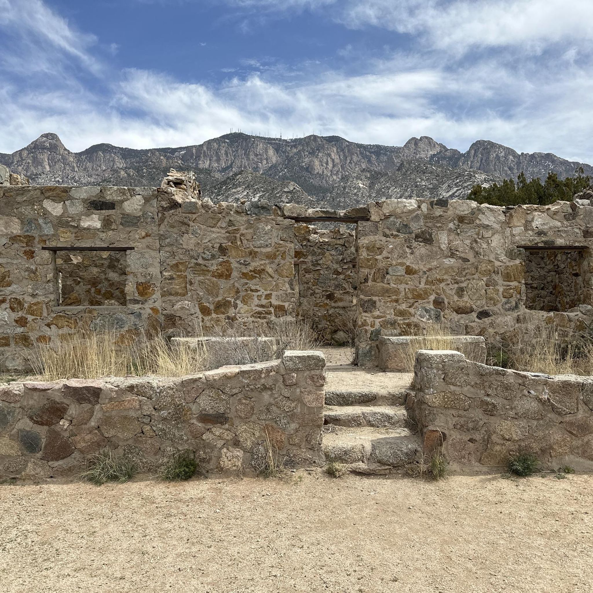
The Civilian Conservatives Corps built this cabin around 1930 and named it after the group that planned it: the Kiwanis. The Corps are known to have built countless infrastructures around New Mexico, but this is one of the only remaining sites that can be seen and accessed.
0
0

Chalk Dust Trail is, in the dry season, a dusty trail used by runners and mountain bikers, so if the trail is busy, a bandana or neck buff can help with dust in the air. This area is managed by the Cibola National Forest Office, and the trail is 1.6 miles in length.
0
0
Frequently Asked Questions
How many mountain bike trails are available in the Manzano Mountains?
There are over 35 mountain bike trails in the Manzano Mountains, offering a wide range of options for different skill levels. The komoot community has explored these routes over 600 times, providing valuable insights and ratings.
What kind of terrain can I expect when mountain biking in the Manzano Mountains?
The Manzano Mountains offer diverse terrain, transitioning from high desert landscapes at lower elevations to subalpine forests higher up. You'll find everything from flowing singletracks to routes with significant elevation gains and technical features. Some areas, like those near Cedro Peak, can have loose and eroded sections, while others feature doubletrack with deep gravel or sand.
Are there any easy mountain bike trails suitable for beginners or families in the Manzano Mountains?
Yes, the Manzano Mountains have several easy trails perfect for beginners or families. An excellent option is the U Mound Loop, which is 1.8 miles long and offers pleasant views. Another easy route is the Foothills Trail North – Intersection of Trails 365 and 366 loop from Bear Canyon Arroyo, which covers about 6.7 miles with minimal elevation change.
What are some challenging mountain bike trails for experienced riders?
For experienced riders seeking a challenge, the Manzano Mountains offer routes with significant elevation gains and technical sections. The Sandia Foothills Open Space – Sandia Foothills Trail 365 loop from Piedra Lisa Canyon Trailhead Parking is a difficult 10.3-mile trail with substantial climbing, providing a demanding ride.
What natural features or landmarks can I see along the mountain bike trails?
The Manzano Mountains are rich in natural beauty. You can encounter diverse ecosystems, from high desert to subalpine forests, and dramatic canyons. Notable attractions include Travertine Falls, and various viewpoints offering panoramic vistas of the Rio Grande Valley. The U-Mound itself is a small peak popular for its views.
Are there any loop trails available for mountain biking?
Yes, many mountain bike trails in the Manzano Mountains are designed as loops, allowing for varied rides without retracing your steps. Examples include the popular U Mound Loop, the moderate View of Red Hill loop from The Merc, and the longer View of Red Hill – Chalk Dust Trail loop from Placitas Trail Head.
What is the best time of year to go mountain biking in the Manzano Mountains?
The Manzano Mountains can be enjoyed for mountain biking across multiple seasons. Spring and fall generally offer the most pleasant temperatures. Fall is particularly spectacular, especially in areas like Fourth of July Canyon, known for its vibrant Rocky Mountain large tooth maples. Summer can be hot at lower elevations, making higher-altitude trails more appealing, while winter may bring snow to the peaks.
Are mountain bike trails in the Manzano Mountains dog-friendly?
Many trails in the Manzano Mountains, particularly within the Cibola National Forest, are dog-friendly, provided dogs are kept on a leash and owners practice Leave No Trace principles. Always check specific trail regulations before heading out, as rules can vary by area or season.
What do other mountain bikers enjoy most about the Manzano Mountains?
The Manzano Mountains are highly rated by the komoot community, with an average score of 4.7 stars. Riders frequently praise the diverse ecosystems, the dramatic canyons, and the panoramic views of the Rio Grande Valley. The variety of trails, from easy loops to challenging climbs, also contributes to its popularity.
Is there parking available at the trailheads?
Yes, many trailheads in and around the Manzano Mountains, such as the Piedra Lisa Canyon Trailhead and Placitas Trail Head, offer designated parking areas. It's advisable to arrive early during peak times to secure a spot, especially for popular routes.
Can I spot wildlife while mountain biking in the Manzano Mountains?
The Manzano Mountains are home to diverse wildlife. The area is part of the Cibola National Forest and serves as a raptor flyway during migrations, so you might spot various bird species. Keep an eye out for deer, coyotes, and other desert and forest animals, especially during quieter times of day.
Are there any cafes or places to eat near the Manzano Mountains trailheads?
While the Manzano Mountains offer a rugged outdoor experience, they are conveniently located near urban centers like Albuquerque. You'll find cafes, restaurants, and other amenities in nearby towns and communities, particularly closer to the Manzanita Mountain Trail System or the Sandia Foothills Open Space.
Most popular routes in the Manzano Mountains
Most popular attractions in the Manzano Mountains

Get inspired with the komoot mobile app


Explore more
Browse the best MTB trails in other regions.
