Attractions and Places To See around Stausee Mattmark - Top 6
Best attractions and places to see around Stausee Mattmark include an artificial lake situated at 2,197 meters above sea level in the canton of Valais, Switzerland. This destination is characterized by its high alpine tranquility, surrounded by majestic glacial peaks and the impressive Mattmark Dam. The area serves as a significant source for renewable energy, storing meltwater from surrounding glaciers. It offers a blend of natural features and engineering marvels within a high-alpine landscape.
Best attractions and places to see…
Last updated: August 17, 2026
Mattmark Reservoir
Highlight • Lake
Translated by Google •
Tip by

Mattmark Reservoir
Highlight • Lake
Translated by Google •
Tip by

Sign up now to discover places like this
Get recommendations on the best single tracks, peaks, & plenty of other exciting outdoor places.
Sign up for free
Icicle Tunnel at the Mattmark Reservoir
Highlight • Cave
Translated by Google •
Tip by

View of Mattmarksee
Highlight • Viewpoint
Translated by Google •
Tip by

Waterfall Over Hexagonal Basalt Columns
Highlight • Waterfall
Translated by Google •
Tip by

Sign up for free to discover even more attractions around Stausee Mattmark.
Sign up for free
Already have an account?
Start today with a free account
Your next adventure awaits.
Login or Signup
Popular around Stausee Mattmark
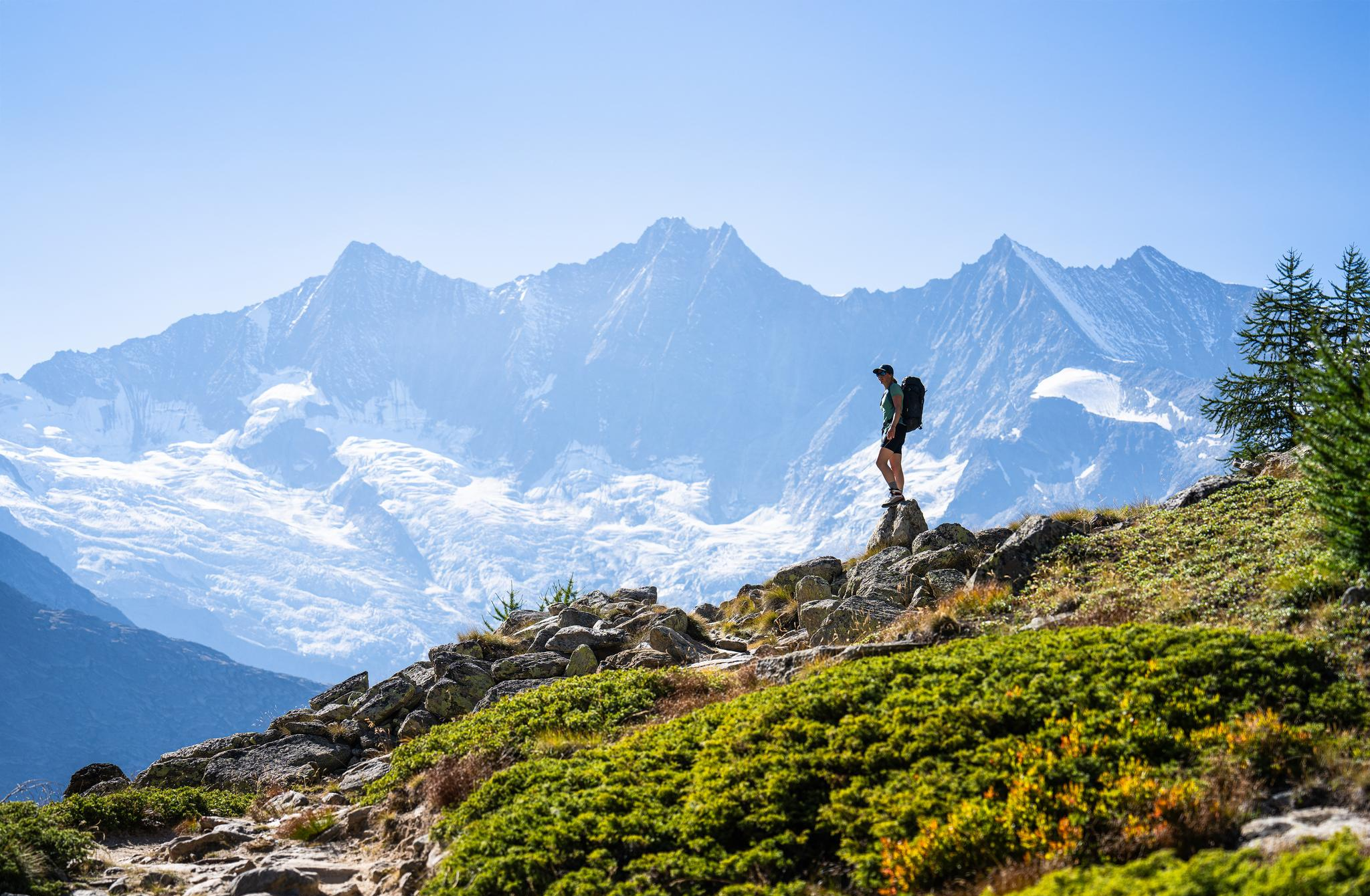
Hiking in Saas-Fee/Saastal – an arena for adventurers
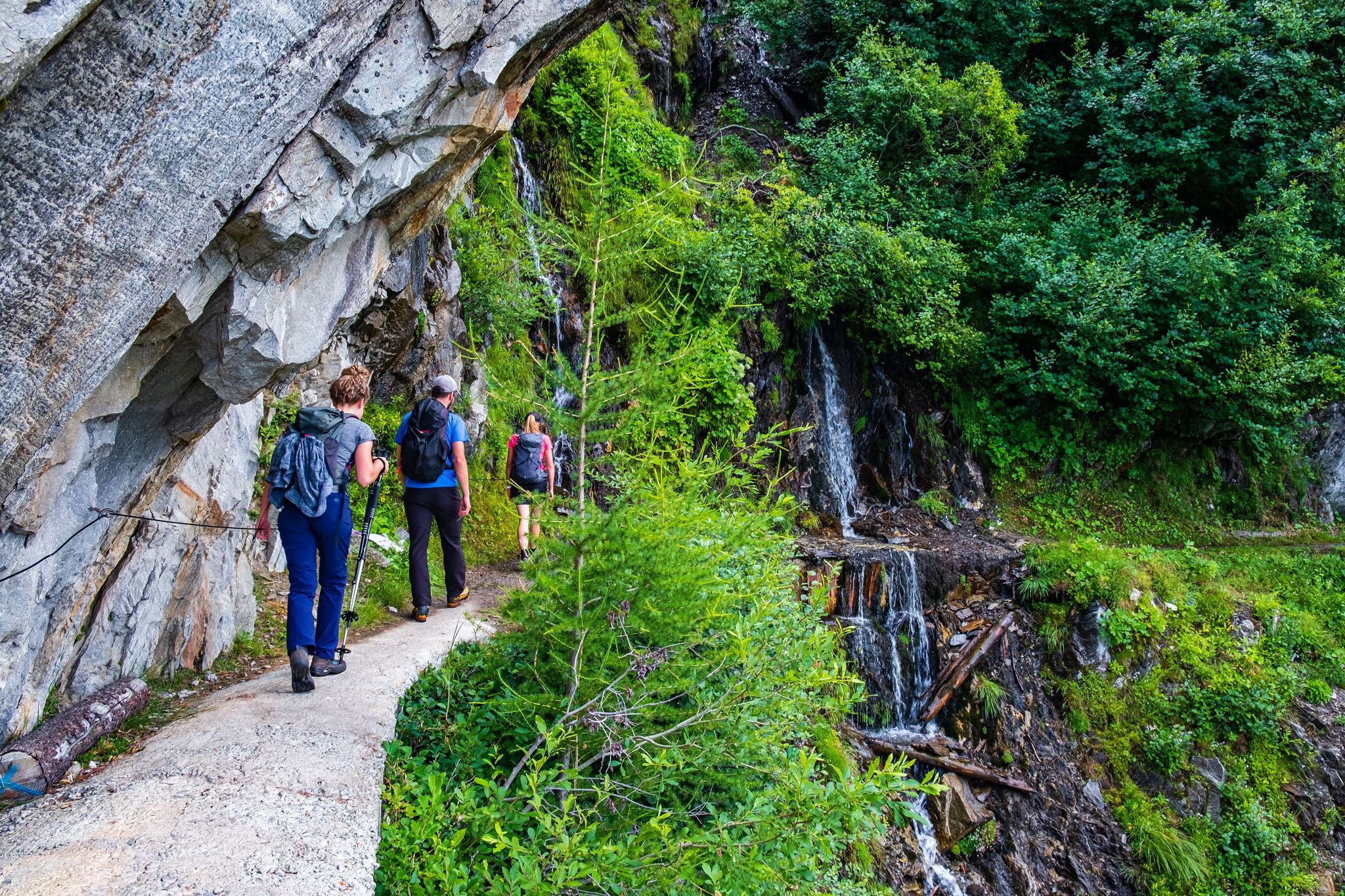
Passes, lakes and alpine huts in Switzerland – discover the Valais
MTB Trails around Stausee Mattmark
Running Trails around Stausee Mattmark
Cycling around Stausee Mattmark
Road Cycling Routes around Stausee Mattmark
Hiking around Stausee Mattmark
Mountain Hikes around Stausee Mattmark


Tips from the Community

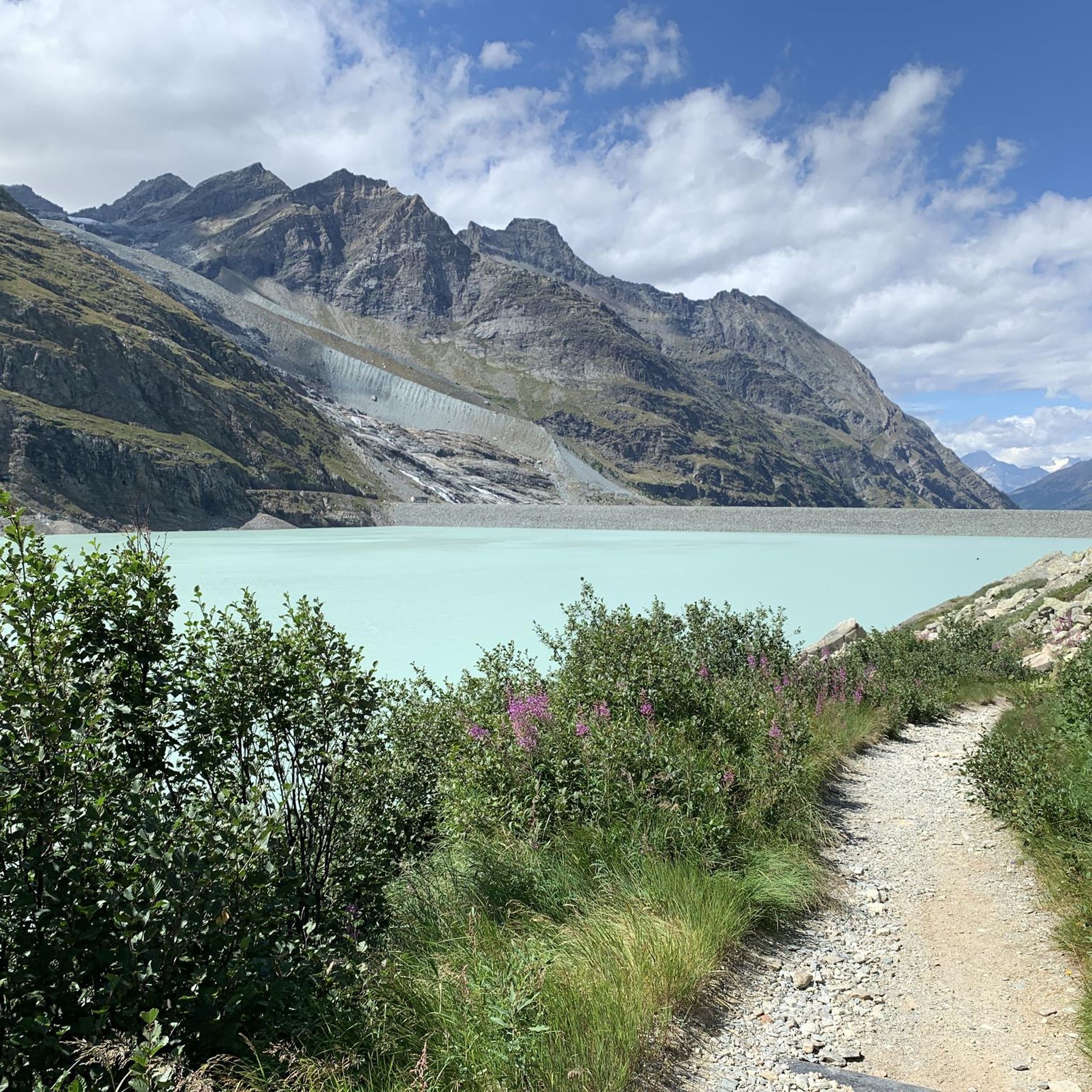
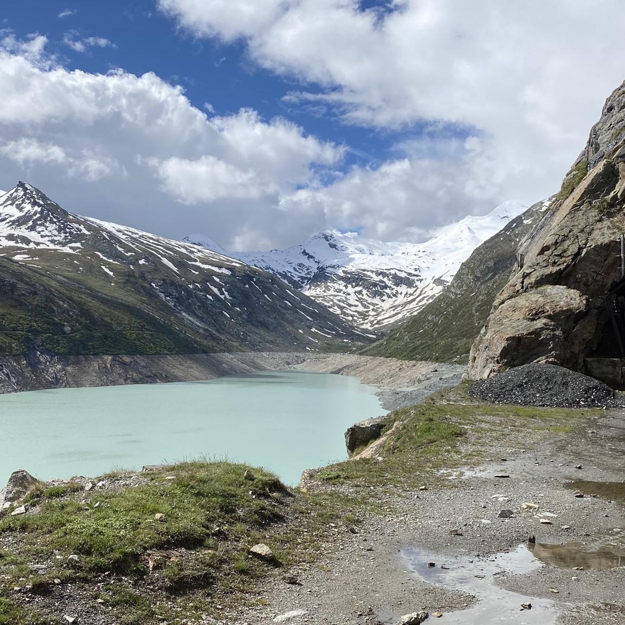
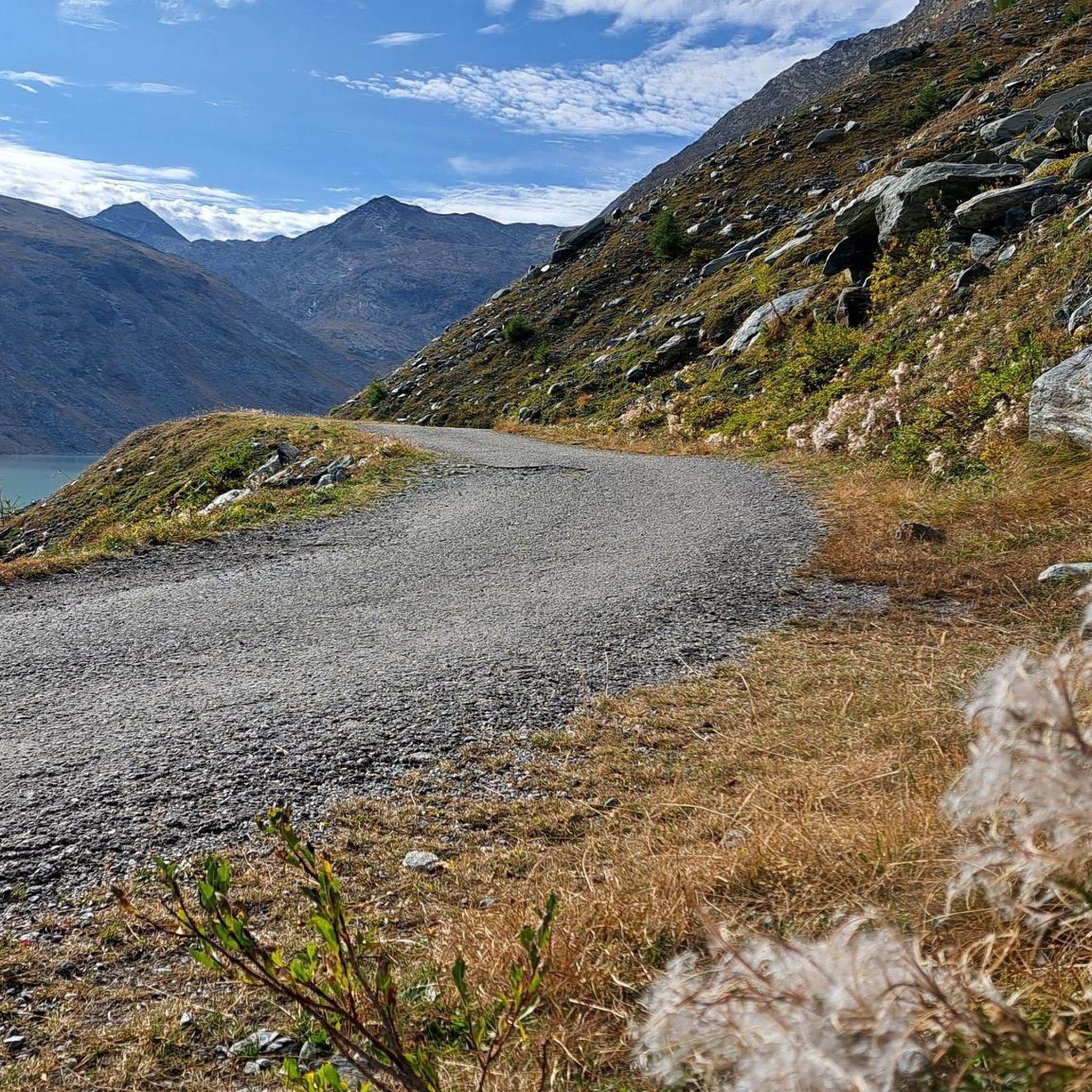
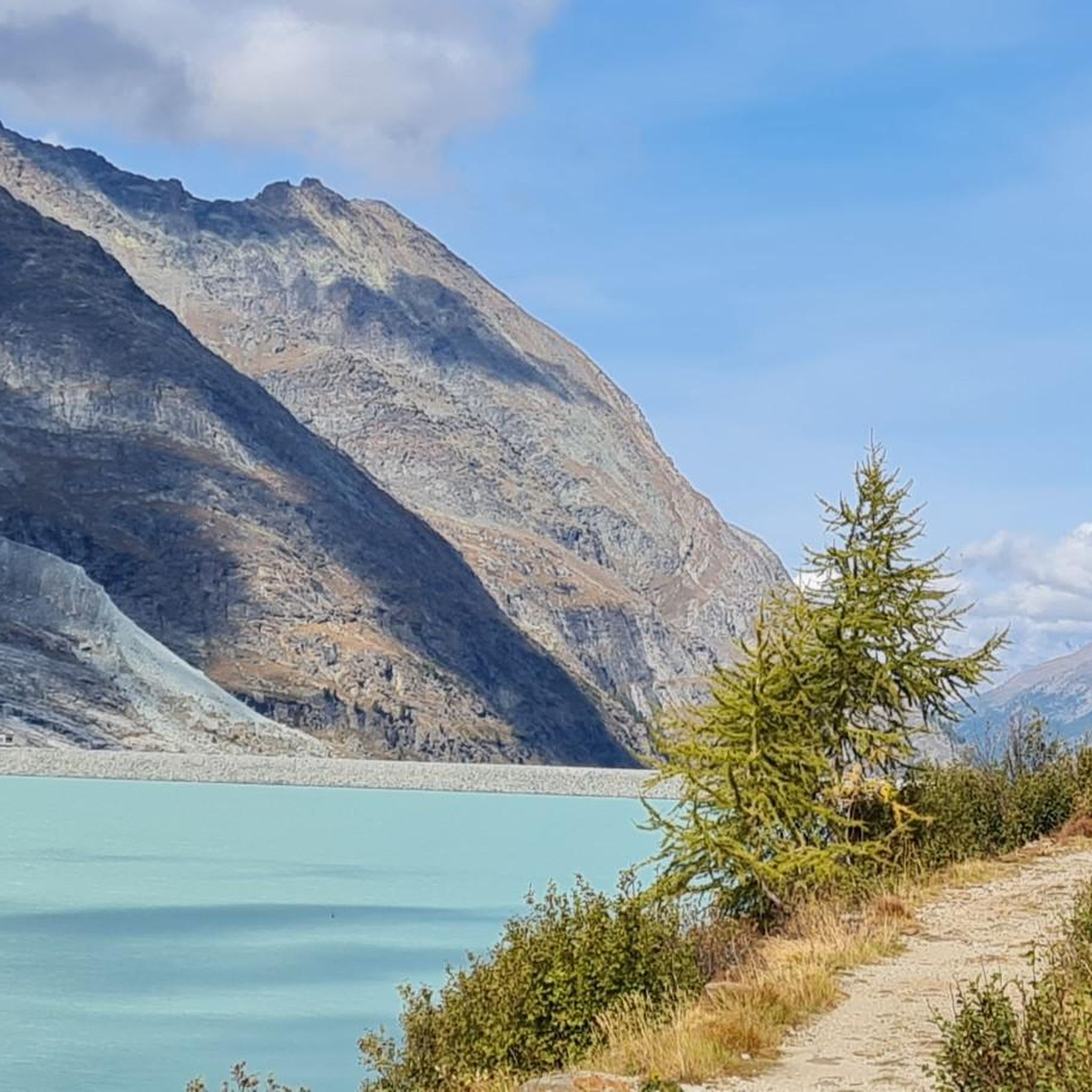
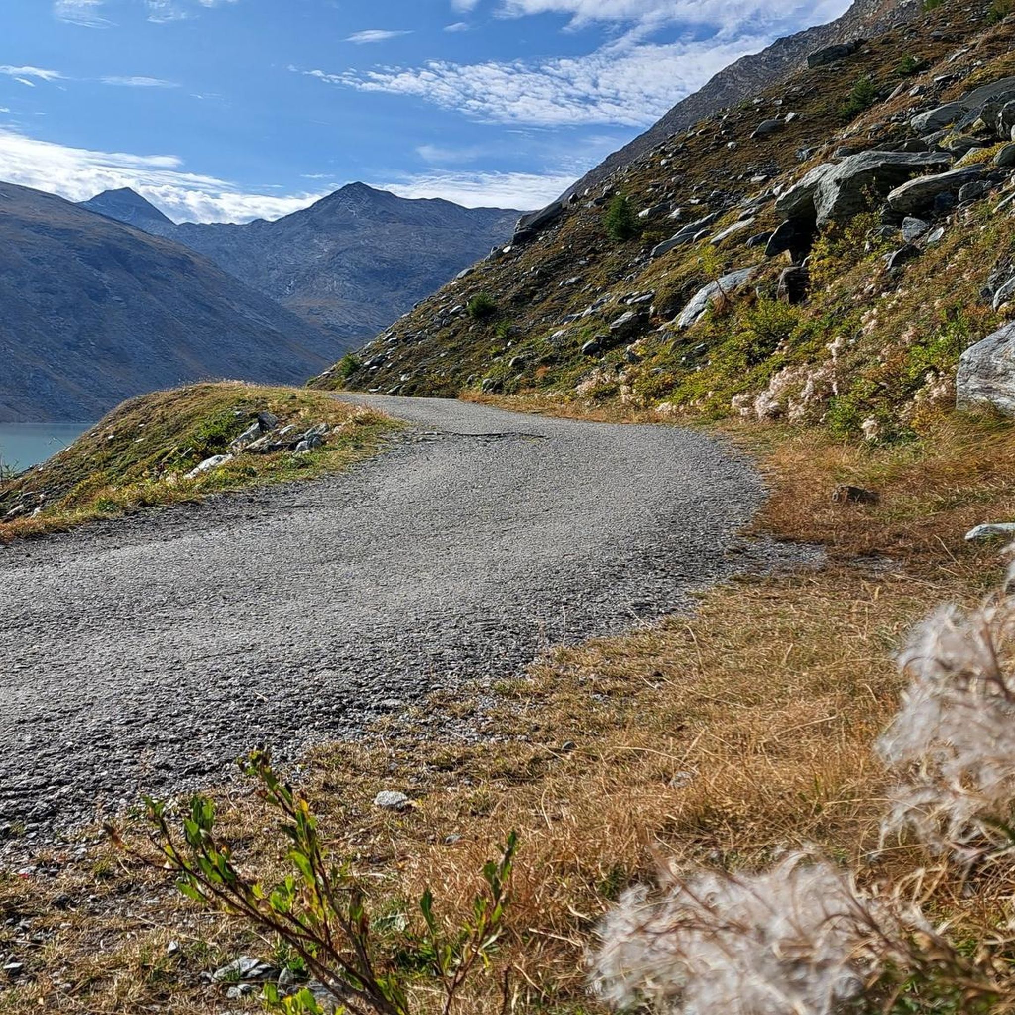
Surrounded by high alpine tranquility and glacial peaks, the turquoise-blue Mattmarksee lies at your feet. This artificial lake is located at over 2,000 meters in the farthest reaches of the Saas Valley. It stores meltwater and supplies the region with renewable energy.
1
0

The Mattmark Reservoir is a reservoir located in the municipality of Saas-Almagell at the southern end of the Saas Valley in the Visp district of the canton of Valais in Switzerland. The lake is used by Kraftwerke Mattmark AG to generate electricity. In 1965, a glacier collapse during construction claimed 88 lives. Wikipedia
2
0

The tunnel is on the right and is the beginning of the hiking trail around the lake. The trail is officially closed in winter.
0
0

When you arrive at the reservoir on the side of the Mattmark restaurant, you should definitely walk a short distance along the east side to the tunnel and cross it. In winter, a beautiful waterfall forms at the entrance and icicles hang from the ceiling inside too
0
0

To the south of the Saas Valley is the largest earth dam in Europe, the Mattmark Dam. The reservoir, which is used to generate electricity, is a real place of power and is fascinating not only for its technical details, but also for its wild, romantic location. Source: https://www.saas-fee.ch/de/erlebniswelten/mattmark-staudamm-sommer
1
0

Very impressive! A waterfall over pin-shaped boulders, which essentially form a "highway", ends directly in the lake.
1
0
A great place of power with such different impressions in every season.
0
0
On the right side of the dam, you can continue towards the tunnel and from there you get a completely different perspective of the lake.
0
0
Frequently Asked Questions
What are the main natural features to explore around Stausee Mattmark?
The centerpiece is the Mattmark Reservoir, a turquoise-blue artificial lake nestled amidst high alpine tranquility and glacial peaks like the Rimpfischhorn and Strahlhorn. You can also discover a unique Waterfall Over Hexagonal Basalt Columns that cascades directly into the lake, and explore tunnels along the lake path offering unique views.
What kind of hiking trails are available at Stausee Mattmark?
Stausee Mattmark offers a variety of hiking trails. An easy and popular option is the 8 km circular walk around the lake, which is also suitable for wheelchairs and strollers. For more challenging routes, you can hike up to the Monte Moro Pass at the southern end of the lake, or take a high alpine trail from Felskinn mountain station over glaciers down to Mattmark. There's also a Panorama Trail Above the Lake offering elevated views. You can find more details on various routes in the Mountain Hikes around Stausee Mattmark guide.
Are there any easy or family-friendly walks around Stausee Mattmark?
Yes, the circular walk around the Mattmark Reservoir is an easy and popular 8 km trail, taking approximately 2 hours and 15 minutes. It is suitable for wheelchairs and strollers, making it a great option for families. This path allows for observation of local fauna and flora. For more easy options, check out the Easy hikes around Stausee Mattmark guide.
What is the Mattmark Dam, and can I visit it?
The Mattmark Dam is Europe's largest earth dam and an impressive feat of engineering. Visitors can walk along the dam crest, which provides panoramic views of the reservoir and surrounding mountains. There is also a restaurant and a visitor center at the dam, offering insights into renewable energy.
Does Stausee Mattmark have any historical significance?
Yes, the construction of the Mattmark Dam was tragically marked by a glacier collapse in 1965, which buried 88 construction workers. This event is a significant part of the dam's history. An exhibition about the Mattmark disaster, including a film, is available at the restaurant near the dam, serving as a poignant reminder.
Can I go mountain biking near Stausee Mattmark?
The region around the Mattmarksee is excellent for mountain biking, with various trails available. New e-bike charging stations have also been installed to support riders. You can explore routes in the MTB Trails around Stausee Mattmark guide.
What are the best viewpoints around the lake?
A prominent viewpoint is the View of Mattmarksee, where the turquoise-blue artificial lake lies at your feet, surrounded by high alpine tranquility and glacial peaks. Walking along the Mattmark Dam crest also offers panoramic views extending towards the Monte Moro Pass. Additionally, the Panorama Trail Above the Lake provides elevated perspectives of the reservoir.
What is the best time of year to visit Stausee Mattmark?
Stausee Mattmark is generally best visited during the warmer months when hiking trails are accessible and the alpine scenery is in full bloom. The circular walk around the lake is popular from spring to autumn. While the area is beautiful year-round, some trails, like the Icicle Tunnel, are officially closed in winter due to conditions.
How can I get to Stausee Mattmark by public transport?
You can reach Stausee Mattmark by PostBus. The PostBus can take you directly to the dam wall, making it convenient to start the circular walk around the lake or access other attractions.
Are there places to eat or stay near Stausee Mattmark?
Yes, the Mattmark Restaurant is located directly at the dam crest, offering stunning views of the reservoir and the Monte Moro Pass, along with an exhibition about the Mattmark disaster. For accommodation and more dining options, the nearby Saas Valley villages, such as Saas-Almagell, provide various choices.
Are dogs allowed on the trails around Stausee Mattmark?
While specific rules for dogs can vary, generally, dogs are welcome on many hiking trails in the Swiss Alps, often on a leash. It's advisable to check local signage or specific trail regulations upon arrival, especially for protected areas or during certain seasons, to ensure a pleasant experience for everyone.
What do visitors particularly enjoy about Stausee Mattmark?
Visitors frequently praise the imposing area and the possibility to walk all the way around the Mattmark Reservoir. The stunning views of the turquoise-blue lake surrounded by high alpine tranquility and glacial peaks are a major highlight. Many also find the Waterfall Over Hexagonal Basalt Columns very impressive, and the unique experience of walking through tunnels with openings overlooking the lake is often mentioned.
Most popular routes around Stausee Mattmark
Most popular attractions around Stausee Mattmark

Get inspired with the komoot mobile app


Explore more
Still not found the Highlight you’re looking for? See guides of the top attractions in other regions:
