The best traffic-free bike rides around Val-D'Oronaye
4.6
(112)
4,250
riders
26
rides
No traffic touring cycling routes around Val-D'Oronaye traverse a high-altitude alpine landscape, situated at 1,700 meters above sea level and bordering Italy. The region is characterized by significant mountain passes like Col de Vars and Col de Larche, offering challenging climbs and rewarding descents. Cyclists can explore the diverse terrain of the Mercantour National Park, featuring torrents, forests, and mountain pastures. The Ubaye and Lauzanier valleys provide varied environments, from sun-drenched paths to routes leading to alpine lakes.
Best no…
Last updated: October 10, 2026
3.6
(5)
66
riders
19.8km
01:10
130m
130m
Easy bike ride. Great for any fitness level. Mostly paved surfaces. Suitable for all skill levels.
4.5
(6)
49
riders
25.3km
01:46
490m
490m
Hard bike ride. Very good fitness required. Mostly paved surfaces. Suitable for all skill levels.

5.0
(2)
42
riders
44.7km
04:24
1,670m
1,670m
Hard bike ride. Very good fitness required. Mostly paved surfaces. Suitable for all skill levels.
15
riders
Hard bike ride. Very good fitness required. Mostly paved surfaces. Suitable for all skill levels.
5.0
(1)
18
riders
8.46km
01:01
370m
370m
Moderate bike ride. Good fitness required. Mostly paved surfaces. Suitable for all skill levels.
Get access to more routes and recommendations from other explorers.
Already have an account?
Our route recommendations are based on thousands of hikes, rides, and runs completed by other people on komoot.
Start today with a free account
Your next adventure awaits.
Popular around Val-D'Oronaye

Seven MTB routes in the Southern Alps – nature, passes and valleys
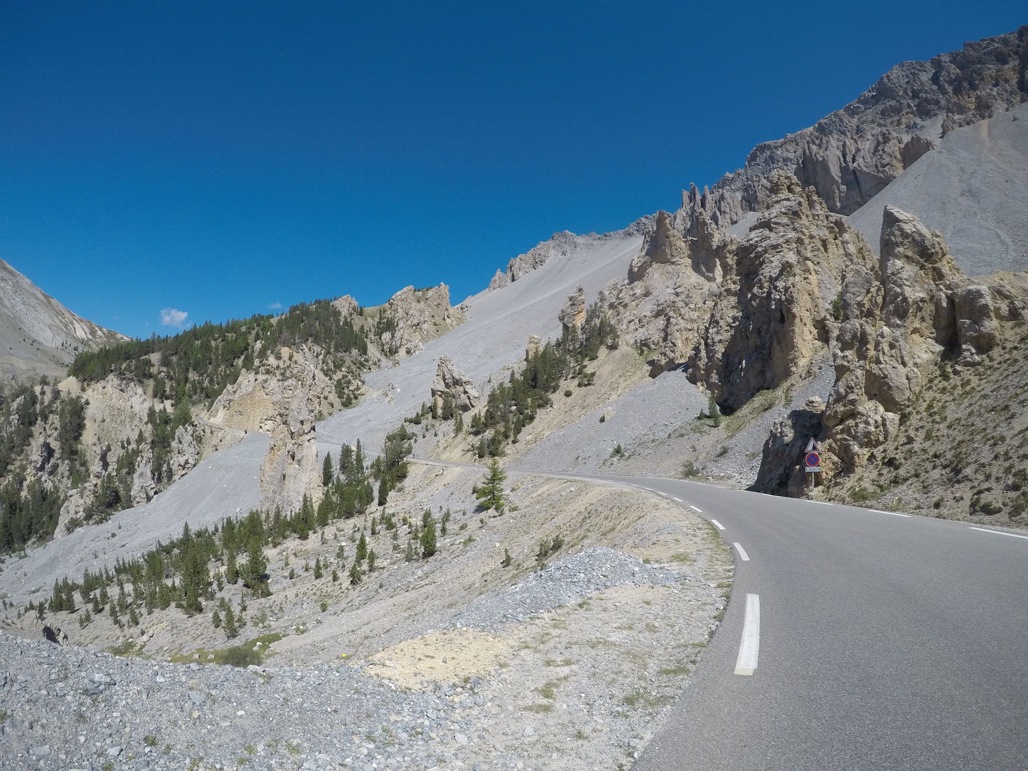
The Cuneo Pinerolo of 1949 – full route
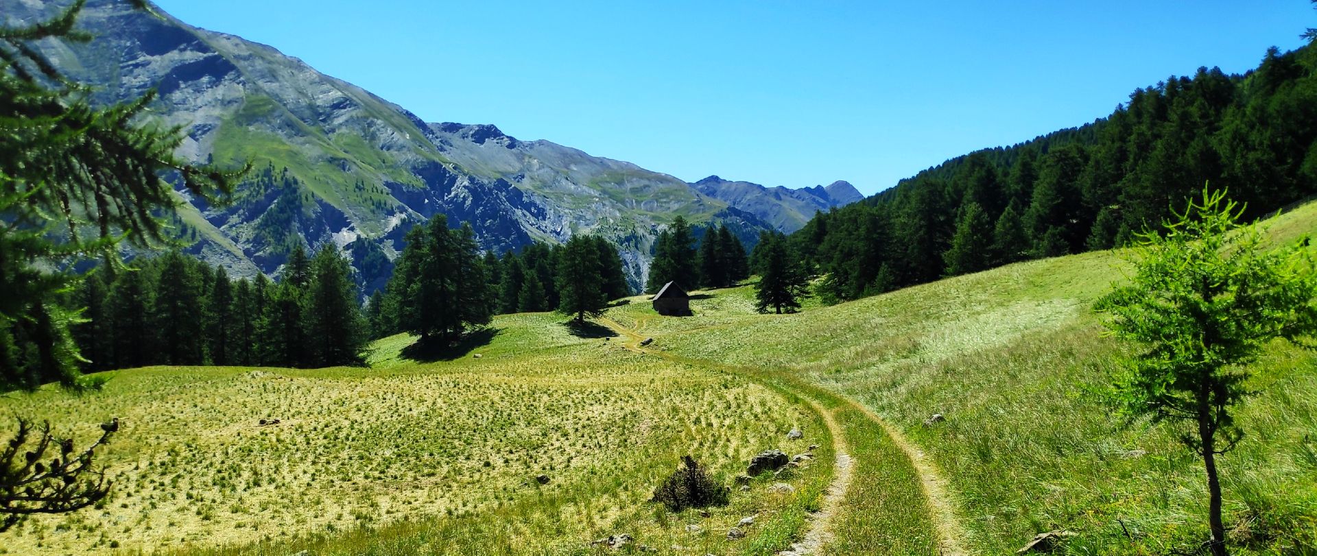
MTB Tour of the Ubaye Valley – La Transubayenne

Hike from Saint-Étienne-de-Tinée to Briançon – Europe Trail (GR 5)

Mountains and marmots — France’s Ubaye trail (GR 56)

MigrAction – Generations in Motion

The most beautiful MTB and hiking tours in the French Maritime Alps

Traffic-free bike rides around Val-D'Oronaye

Traffic-free bike rides around Val-D'Oronaye
Other adventures around Val-D'Oronaye


Tips from the Community

.......this appears towering like an impassive figure and upon the traveler's passing it watches their movements, guiding their steps....
0
0

Located opposite the Castello-Provenzale group at an altitude of 1,650 meters and not far from the Stroppia waterfall is the Campo Base (base camp) hut ...
0
0
🚴🥾🥾Starting point for hikers, climbers and nature lovers near the Stroppia waterfall.
0
0

Very impressive rock. Via ferrata difficult
0
0

Installation by artist David Renaud, consisting of a relief representation (with exaggerated elevations) and contour lines of the topography of the Colle area. Made of metal (bronze?), it offers a beautiful view against the backdrop of the mountains. Beside it, a plaque explains the artistic meaning of the work, but that's an extra for those smarter than me - it tickles the engineer in me in general, and the topographer in particular, who always live inside me without paying rent.
1
0
Tiny chapel (almost a votive pillar) on the French side of the Colle della Maddalena, in the middle of the meadows. The building is very simple, but it is above all the setting that makes it interesting, with the backdrop of the beautiful mountains of the Maddalena-Ubaye area. Impossible not to see from the pass, it is worth attention.
1
0
Important pass between France and Italy, it is surrounded by a frame of wonderful mountains, which make you want to return to the valley. Several points of interest "anthropogenic" - including: French side, a contour line model of the area of the pass; Italian side, memorial monuments to Tazio Nuvolari and Fausto Coppi, protagonist on this pass of the legendary feat of the Cuneo-Pinerolo stage in 1949.
1
0
Important pass between France and Italy, it is surrounded by a frame of wonderful mountains, which make you want to return to the valley. Several points of interest "anthropogenic" - including: French side, a contour line model of the pass area; Italian side, memorial monuments to Tazio Nuvolari and Fausto Coppi, protagonist on this pass of the legendary feat of the Cuneo-Pinerolo stage in 1949.
0
0
Frequently Asked Questions
How many no-traffic touring cycling routes are available in Val-D'Oronaye?
There are over two dozen dedicated no-traffic touring cycling routes around Val-D'Oronaye. These routes are carefully selected to offer serene cycling experiences away from motorized vehicles, allowing you to fully immerse yourself in the stunning Alpine scenery.
What is the typical difficulty level for touring cycling routes in Val-D'Oronaye?
The no-traffic touring cycling routes in Val-D'Oronaye are predominantly challenging, with the majority rated as difficult. This is due to the region's mountainous terrain, featuring significant climbs and descents. For example, the La Colletta Pass – Carmagnola Shelter loop from Acceglio involves over 1,400 meters of elevation gain over 31 kilometers.
Are there any circular no-traffic cycling routes in Val-D'Oronaye?
Yes, many of the no-traffic touring cycling routes in Val-D'Oronaye are circular, allowing you to start and end your journey in the same location. An example is the challenging Pont-du-Châtelet – Maljasset loop from Saint-Paul-sur-Ubaye, which offers a rewarding circular experience through the landscape.
What kind of landmarks and viewpoints can I expect along these routes?
Val-D'Oronaye's no-traffic routes offer access to breathtaking natural landmarks and panoramic viewpoints. You can cycle past iconic mountain passes like Col de Vars, explore areas near the Source of the Maira, or discover serene alpine lakes such as Lago Nero (Valle Maira). The region's expansion into the Mercantour National Park ensures a rich variety of scenic beauty.
What do other touring cyclists enjoy most about cycling in Val-D'Oronaye?
The area is highly rated by the komoot community, with an average score of 4.6 stars from over 50 reviews. Cyclists frequently praise the region for its challenging mountain passes, the stunning natural beauty of the Mercantour National Park, and the rewarding views after significant climbs. The quiet, traffic-free nature of these routes is also a major highlight.
What is the best time of year for no-traffic touring cycling in Val-D'Oronaye?
The best time for touring cycling in Val-D'Oronaye is typically from late spring to early autumn (June to September). During these months, mountain passes are generally clear of snow, and the weather is more favorable for cycling. The Ubaye Valley, which Val-D'Oronaye is part of, enjoys ample sunshine, making it ideal for outdoor activities.
Are there any routes that feature waterfalls?
Yes, some routes in the region offer the chance to see impressive natural features like waterfalls. The Ciarbonet Pass – Stroppia Waterfall loop from Chiappera is a notable example, providing a challenging ride with the reward of a waterfall viewing.
Can I find routes that cross into Italy from Val-D'Oronaye?
Yes, Val-D'Oronaye's proximity to the Italian border, particularly via the Col de Larche, allows for cross-border cycling adventures. While specific no-traffic routes listed here may not explicitly cross, the region serves as an excellent starting point for exploring the Italian Piedmont, adding an international dimension to your touring experience.
What kind of terrain can I expect on these no-traffic routes?
You can expect a diverse and challenging terrain. Routes often traverse high mountain passes, alpine pastures, and forests. The region is characterized by significant elevation changes, with climbs rewarded by panoramic views. While focused on no-traffic, some sections might involve well-maintained gravel or unpaved roads suitable for touring bikes, especially in more remote areas.
Are there any huts or shelters along the no-traffic touring routes?
Yes, some routes pass by or near mountain huts that can offer a place to rest or refuel. For instance, the La Colletta Pass – Carmagnola Shelter loop from Acceglio includes the Carmagnola Shelter, and the Gardetta Hut is another notable point of interest in the wider region.
How can I access these no-traffic cycling routes using public transport?
While Val-D'Oronaye is a remote mountain region, public transport options to the Ubaye Valley exist, though they might be limited. It's advisable to check local bus services connecting to larger towns like Jausiers or Barcelonnette, from where you might be able to cycle to the starting points of some routes. Planning ahead for bike transport on public services is crucial.
Most popular routes around Val-D'Oronaye
Most popular attractions around Val-D'Oronaye

Get inspired with the komoot mobile app


Explore more
Browse the best Cycling routes in other regions.
