The best hikes from bus stations in Boulder County
4.7
(861)
19,439
hikers
128
hikes
Hiking in Boulder County offers a diverse landscape characterized by iconic red rock formations like the Flatirons, extensive open meadows, and dense ponderosa pine forests. The region features dramatic canyons, including Eldorado Canyon, and numerous mountain peaks such as Green Mountain and Mount Sanitas. Trails often provide panoramic views of the Continental Divide and the surrounding Rocky Mountains. This varied terrain supports a wide range of hiking experiences, from gentle strolls to challenging ascents.
Best bus station hiking trails in…
Last updated: August 18, 2026
4.0
(1)
14
hikers
11.5km
03:29
400m
380m
The Shanahan North Fork Trail to Mesa Trail Loop offers a dynamic hiking experience, transitioning from steep, forested climbs to open vistas. You'll navigate through dense ponderosa forests, enjoying the…
1
hikers
6.54km
01:51
140m
140m
The Tungsten and Kinnickinnick Loop Trail offers a delightful escape into the forests north of Nederland, Colorado. You'll wander through groves of young aspen, fir, and pine, with the reflective…

Sign up for free
4.6
(20)
228
hikers
10.2km
03:01
300m
300m
Moderate hike. Good fitness required. Easily-accessible paths. Suitable for all skill levels.
5.0
(6)
46
hikers
10.6km
03:39
550m
550m
Moderate hike. Good fitness required. Easily-accessible paths. Suitable for all skill levels.
5.0
(3)
101
hikers
15.1km
05:38
820m
820m
Hard hike. Very good fitness required. Sure-footedness, sturdy shoes and alpine experience required.
Get access to more routes and recommendations from other explorers.
Sign up for free
Already have an account?
Our route recommendations are based on thousands of hikes, rides, and runs completed by other people on komoot.
Start today with a free account
Your next adventure awaits.
Login or Signup
Popular around Boulder County
Hikes from bus stations around Boulder
Hikes from bus stations in Eldorado Canyon State Park
Hikes from bus stations in Walker Ranch Park

Hikes from bus stations around Gunbarrel

Hikes from bus stations around Lafayette

Hikes from bus stations around Louisville

Hikes from bus stations around Superior
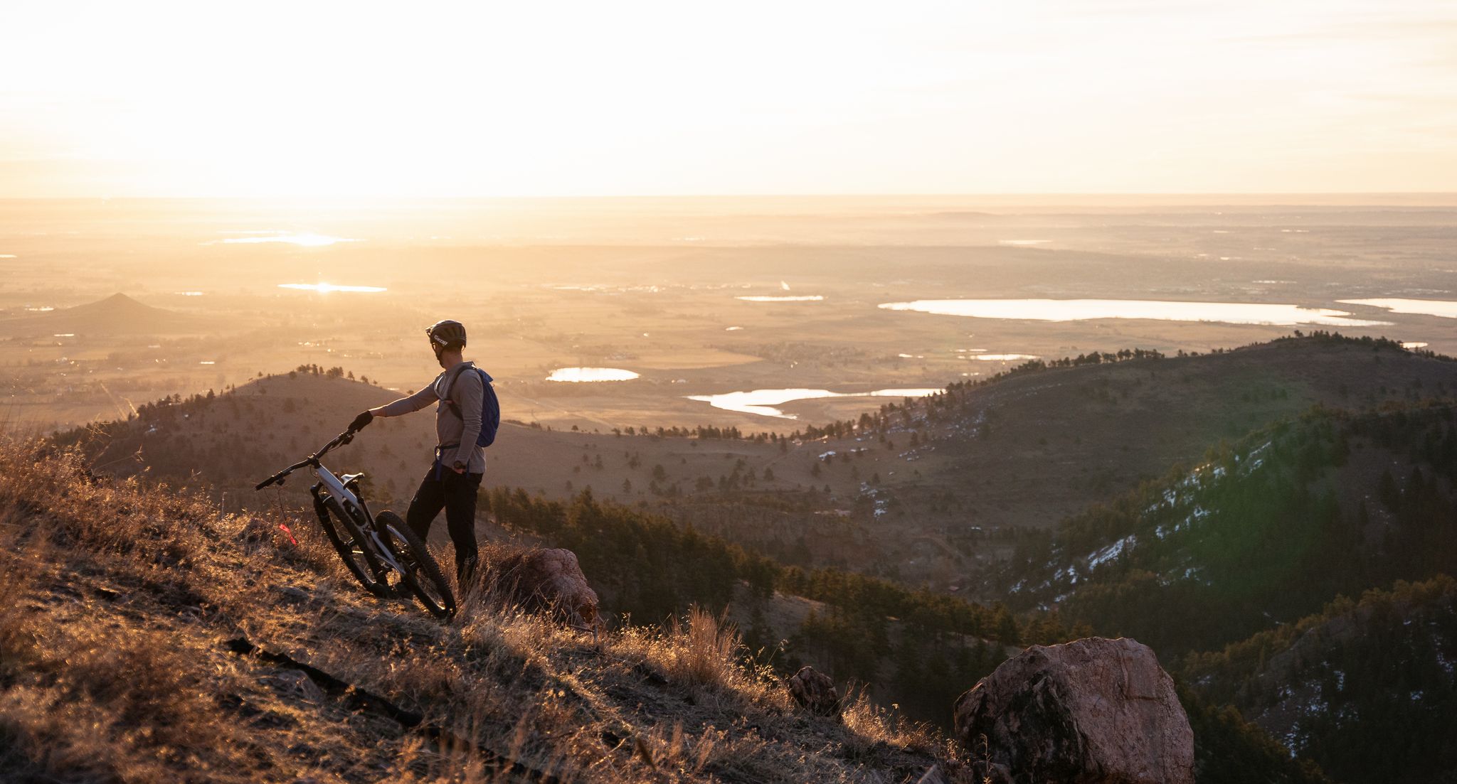
My Boulder variety pack — MTB and gravel gems in the Front Range
Other adventures in Boulder County

Tips from the Community

Great promenade, with lots of greenery and play areas, especially for children
0
0
Relaxed atmosphere and good coffee between young and old
0
0

Very nice view of the surrounding area.
1
0

Great view of the red sandstone rock formations in the area. There are several trails that loop through, getting you up close with several rock formations.
1
0

Nice trail with quite a bit of climbing (stairs steps)
0
0
A nice climb with this natural bridge as a reward. When we were there (mid May) it was relatively quiet and we could take nice pictures. We spoke to a park ranger who said that it can get very busy mid summer
0
0
Beautiful view of these special rock formations
0
0

Anemone Point offers stunning views of downtown Boulder and Mount Sanitas, with a panoramic 360° lookout. The point is at an elevation of 6,310 feet. It's a popular spot, often busy with hikers, and is easy to spot during the climb as there is a short wooden fence at the viewpoint.
0
0
Frequently Asked Questions
How many bus-accessible hiking trails are available in Boulder County?
Boulder County offers over 100 hiking trails that are accessible via public transport. These routes cater to various skill levels, from easy strolls to more challenging mountain ascents, allowing you to explore the region's diverse landscapes without a car.
Are there easy, family-friendly hiking trails accessible by bus in Boulder County?
Yes, there are many easy, family-friendly options. For instance, the Tungsten and Kinnickinnick Loop Trail is an easy route that provides a pleasant experience for all ages. Many trails around Chautauqua Park are also accessible and offer gentler sections suitable for families.
What kind of natural features can I expect to see along bus-accessible trails?
Boulder County's bus-accessible trails showcase a wide array of natural beauty. You can expect to see the iconic Flatirons, diverse ecosystems ranging from open meadows to dense ponderosa pine forests, and dramatic canyons. Trails often provide panoramic views of the surrounding mountains and even glimpses of the Continental Divide. For example, routes starting near Chautauqua offer stunning views of the Flatirons.
Are there any bus-accessible trails that lead to waterfalls or canyons?
While direct bus access to some remote waterfalls might be limited, many trails offer views of dramatic canyons and geological features. For instance, trails near Eldorado Canyon State Park, such as the Rattlesnake Gulch Trail, offer spectacular canyon views. You can also find highlights like Eldorado Canyon itself or the Continental Divide Overlook along various routes.
What do other hikers enjoy most about bus-accessible trails in Boulder County?
The komoot community highly rates hiking in Boulder County, with an average score of 4.7 stars. Hikers frequently praise the convenience of accessing stunning natural landscapes directly from bus stops, the well-maintained trails, and the breathtaking views of the Flatirons and surrounding peaks. The diversity of terrain, from gentle loops to challenging ascents, is also a common highlight.
Are there challenging bus-accessible hikes for experienced hikers?
Absolutely. For those seeking a more strenuous adventure, routes like the Shanahan North Fork Trail to Mesa Trail Loop offer significant elevation gain and distance. Other challenging options include trails leading to summits like Green Mountain, Bear Peak, or Mount Sanitas, which are often reachable via public transport connections to trailheads near Boulder.
Can I find loop trails that are accessible by bus?
Yes, many bus-accessible routes are designed as loops, allowing you to start and end at the same point, often conveniently near a bus stop. Examples include the Chautauqua Trailhead – View of Flatirons loop from Boulder and the Boulder Creek Trail – Anemone Point Viewpoint loop from Boulder. These provide a complete hiking experience without the need for shuttle arrangements.
Are dogs allowed on bus-accessible hiking trails in Boulder County?
Boulder County has specific regulations regarding dogs on trails, including leash requirements and designated areas. Many trails are dog-friendly, but it's crucial to check the specific rules for each open space or park before you go. Always ensure your dog is leashed and you clean up after them to preserve the natural environment.
What is the best time of year to hike these bus-accessible trails?
Boulder County offers excellent hiking opportunities year-round. Spring brings wildflowers and milder temperatures, while summer is ideal for higher-elevation trails. Fall showcases stunning foliage, and winter provides unique snowshoeing or microspike hiking experiences on lower trails. Always check weather conditions and trail closures, especially during winter and early spring, as some higher routes may be impassable.
Are there any permits or fees required for hiking on Boulder County's open space trails?
Most trails within Boulder County's Open Space properties do not require a fee or permit for day hiking. However, some specific areas, like Eldorado Canyon State Park, may have entrance fees. It's always a good idea to check the Boulder County Open Space website for the most current information regarding permits or fees: bouldercounty.gov.
Are there bus-accessible trails that offer views of the iconic Flatirons?
Yes, many trails easily reachable by bus provide spectacular views of the Flatirons. The Chautauqua Park area, a popular starting point, offers direct access to trails that wind through the base of these iconic formations. The Royal Arch – View of Flatirons loop from Boulder is a prime example, leading to a natural arch framing the Boulder Valley with the Flatirons as a backdrop.
Most popular routes in Boulder County
Most popular attractions in Boulder County

Get inspired with the komoot mobile app


Didn’t find what you were looking for?
Check out more Hikes throughout Boulder County below and find the perfect route in your destination.
Explore more
Browse the best Hikes in other regions.
