The best walks and hikes in Michigan
4.6
(729)
10,506
hikers
1,519
hikes
Hiking in Michigan offers diverse landscapes, characterized by extensive Great Lakes shorelines, towering sand dunes, and vast forests. The state's varied topography includes both accessible paths and more challenging trails through wilderness areas. Hikers can explore a range of environments, including national lakeshores, state parks, and dense woodlands, providing a wide array of natural features for outdoor exploration. The Upper Peninsula features numerous waterfalls and elevated terrain, while the Lower Peninsula offers extensive dune systems and forested areas.
Best hiking trails in Michigan
- The most popular hiking route is Mackinac Island Outer Loop, a 8.0 miles (12.9 km) trail that takes 3 hours 18 minutes to complete. This moderate route offers views of the lake and island scenery.
- Another top favourite among local hikers is Hike-Bike Trail, a moderate 10.4 miles (16.7 km) path. This trail features varied terrain suitable for both hiking and biking.
- Local hikers also love the Summit Peak and Mirror Lake Loop, a 5.6 miles (9.0 km) trail leading through forested areas with elevation changes, often completed in about 2 hours 34 minutes.
- Hiking in Michigan is defined by Great Lakes shorelines, impressive sand dunes, and extensive forested areas, including numerous waterfalls. The network offers options for various ability levels, from easy strolls to more challenging treks.
- The routes in Michigan are highly rated by the komoot community with an average score of 4.6 stars from over 600 reviews. More than 9,000 hikers have used komoot to explore Michigan's varied terrain.
Last updated: October 7, 2026
5.0
(1)
52
hikers
5.21km
01:20
20m
20m
The Frederik Meijer Gardens & Sculpture Park trails offer a truly unique hiking experience, blending botanical beauty with world-class art. You'll wander through diverse landscapes, from the lush Tropical Conservatory to the tranquil Richard and Helen DeVos Japanese Garden, all while encountering over 200 sculptures. This easy 3.2-mile (5.2 km) route, with a minimal 60 feet (18 metres) of elevation gain, takes about 1 hours and 19 minutes, making it perfect for a relaxed outing.
Planning your visit is straightforward, though remember it's a ticketed attraction. The park is highly accessible, offering complimentary wheelchairs and ECVs, and even a tram for those who prefer it, making Meijer Gardens accessible hiking paths a reality for everyone. With both indoor and outdoor exhibits, it's a fantastic destination regardless of the season, though checking opening hours is always a good idea.
What truly sets Meijer Gardens apart is its distinctive integration of a botanical garden and a sculpture park, a concept rarely seen on this scale. Beyond the outdoor gardens, you can explore the Butterfly House, a seasonal favorite, or marvel at Michigan's largest tropical conservatory. It's a significant cultural and botanic destination in Grand Rapids, offering a rich visual experience that changes with every visit.
4.5
(2)
42
hikers
3.56km
00:58
50m
50m
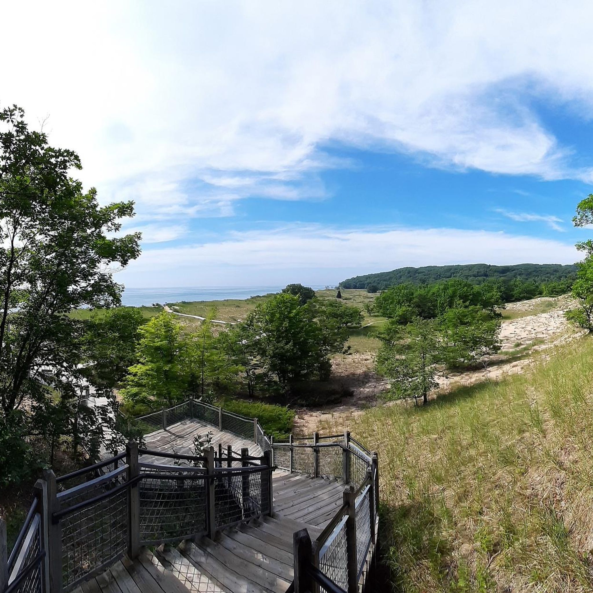
Embark on an easy hike along the Rosy Mound Natural Area Trail, a 2.2-mile (3.6 km) route that offers a refreshing outdoor experience. You will gain 164 feet (50 metres) in elevation over approximately 58 minutes, making it a perfect choice for a quick outing. The path guides you through a serene backdune forest, where mature beech, maple, and hemlock trees create a peaceful canopy. As you continue, the scenery transitions to a classic Great Lakes dune system, revealing expansive views. From observation decks like the Dune View, you can take in panoramic vistas of Lake Michigan, complete with open and forested dunes and a sandy beach.
When planning your visit to the Rosy Mound Natural Area Trail, remember that access to the natural area is exclusively on foot. A parking fee is typically required if you visit between Memorial Day weekend and Labor Day, so be prepared for that during the summer months. It is also important to note that dogs are generally not permitted on the trails, so make alternative arrangements for your pets. The route features well-maintained surfaces, including boardwalks, cement, or compacted crushed stone, ensuring a pleasant journey.
This trail is a prime example of a classic Great Lakes dune system, offering a unique ecological experience. Beyond the immediate views of Lake Michigan, on clear days, you might even catch a glimpse of the Grand Haven channel and its lighthouse in the distance. Interpretive signs are placed along the way, providing insights into the natural surroundings and enhancing your understanding of this special environment. The blend of forest and dune landscapes makes it a distinctive destination for nature lovers.

4.8
(5)
37
hikers
8.33km
02:11
80m
50m
The Orange trail offers a moderate hiking experience, covering 5.2 miles (8.3 km) with a gentle elevation gain of 248 feet (75 metres). Plan for about 2 hours and 11 minutes to complete this route through the Bald Mountain Recreation Area. As you hike, you will encounter scenic views of East Graham Lake, Shoe Lake, and Prince Lake. A charming Wooden Bridge over East Graham Lake adds a picturesque element to your journey, making for a pleasant outing.
Accessing the Orange trail is straightforward, as it is situated within the Bald Mountain Recreation Area. You will find parking generally available at various trailheads throughout the recreation area, which makes starting your hike convenient. Consider visiting during off-peak hours for a quieter experience on the path.
This route is a great way to explore the natural beauty of the Bald Mountain Recreation Area. It highlights the area's diverse aquatic features, guiding you past several lakes that define the landscape. The trail's design ensures a balanced outdoor activity, suitable for a refreshing escape into nature.
4.4
(5)
44
hikers
8.30km
02:12
80m
90m
Embark on the Crooked Lake Trail for a moderate hike through diverse landscapes within the Pinckney State Recreation Area. This 5.2-mile (8.3 km) route, with its 272 feet (83 metres) of elevation gain, typically takes around 2 hours and 12 minutes to complete. You will navigate rolling terrain, including some steep hills, as the path winds through hardwood forests, marshlands, and grassy hillsides. Keep an eye out for the steep wooden bridge crossing between Crooked Lake and Pickerel Lake, offering picturesque views.
The Crooked Lake Trail is well-marked, making it easy to follow your way. Parking is generally available right at the trailhead, ensuring convenient access for your outing. If you are hiking, you are encouraged to travel counter-clockwise around the loop. The trail is also suitable for dogs, so feel free to bring your furry companion along.
This trail is a highlight within the Pinckney State Recreation Area, known for its varied scenery. The path often features rocks and roots, adding to the natural feel of your journey. During autumn, the trail transforms, showcasing vibrant golden colors from the hickory trees, making it an especially beautiful time to visit.
4.3
(4)
44
hikers
12.2km
03:07
40m
50m
Explore the Stony Creek Metropark Hike-Bike Trail, a moderate 7.6 miles (12.2 km) route that offers a refreshing escape into nature. This paved loop takes about 3 hours and 7 minutes to complete, with a gentle elevation gain of 145 feet (44 metres). You will journey through pleasant wooded sections that open up to expansive views of the 500-acre Stony Creek Lake. Be sure to pause at the Boat Dock to take in the serene water and surrounding landscape, enjoying the mix of open vistas and shaded areas.
Before you head out, remember that Stony Creek Metropark requires a vehicle entry fee for access. You will find ample parking available within the Metropark to start your adventure. The paved surface of the trail can be somewhat rough in certain spots, so choose your footwear with comfort and stability in mind. Consider an early morning start to enjoy cooler temperatures and fewer crowds on the path.
This trail is notable for its continuous views of the large Stony Creek Lake, providing a consistent scenic backdrop to your hike. The park's design allows for a seamless blend of natural beauty and accessible pathways, making it a popular choice for outdoor enthusiasts. It offers a great way to experience the diverse ecosystems supported by the lake and its surrounding woodlands.
5.0
(2)
39
hikers
12.9km
03:18
50m
50m
Imagine a hike where the only sounds are waves, birds, and the occasional clip-clop of horse hooves. The Mackinac Island Outer Loop delivers just that, tracing the island's perimeter on a unique paved path. You'll be treated to constant, expansive views of Lake Huron, with the impressive Mackinac Bridge often in sight, and pass landmarks like Griffin Cove Beach. This 8.0-mile (12.9 km) route is mostly flat, offering a relaxed and scenic experience.
This moderate hike is easily accessible from anywhere on Mackinac Island, which you'll reach by ferry since motor vehicles are prohibited. The paved surface makes it suitable for all ages and fitness levels. To enjoy the peaceful atmosphere fully, aim for an early morning or late afternoon start, especially during peak tourist season.
What truly sets this trail apart is its status as M-185, the only state highway in the U.S. where cars are banned, creating an unparalleled car-free environment. Over 80% of Mackinac Island is protected as a state park, ensuring lush forests and abundant natural beauty around the entire 3-hour and 18-minute loop, with only 155 feet (47 metres) of elevation gain.
5.0
(1)
38
hikers
4.91km
01:42
140m
140m
The Hogback Mountain hike offers a moderate challenge, covering 3.1 miles (4.9 km) with an elevation gain of 452 feet (138 metres). You can expect to complete this route in about 1 hour and 41 minutes. As you ascend, the trail transitions from dense woodlands to more varied terrain, featuring narrow paths and rocky sections. The final climb to the summit involves some rock scrambling, but your effort is rewarded with expansive, unobstructed 360-degree views of Lake Superior and the surrounding forests. Imagine looking out over vast stretches of green meeting the blue expanse of the lake.
When planning your visit to Hogback Mountain, be aware that cell service can be unreliable or completely absent in the area. While the trail is marked, you might find the blazes difficult to spot at times, so pay close attention to your surroundings. Be prepared for potentially slick rock surfaces, especially after rain or during spring snowmelt, which can also lead to swampy sections. Starting your hike earlier in the day is often advisable to allow ample time and avoid crowded periods, ensuring a more peaceful experience on the route.
Located within the Little Presque Isle Recreation Area, this trail is a popular choice for those seeking a rewarding outdoor experience near Marquette. The unique geological features and the panoramic views from the summit make it a standout destination in the region. It's a great option if you're looking for a relatively short but impactful hike that showcases the natural beauty of Michigan's Upper Peninsula, providing a true sense of wilderness close to amenities.
4.6
(7)
37
hikers
16.7km
04:19
90m
80m
Embark on a moderate hike along the Hike-Bike Trail, a route spanning 10.4 miles (16.7 km) with a gentle elevation gain of 281 feet (86 metres). You can expect to complete this journey in about 4 hours and 18 minutes. The trail follows old railroad lines, offering mostly level stretches with some interesting dips and rises. As you hike, you will encounter diverse scenery, from forests and meadows to wetlands where spring peepers can be heard. A highlight is Brandywine Falls, one of Ohio's highest waterfalls at 75 feet, and the walk to it is particularly easy. Further along, you can observe the Sharon Conglomerate rock walls at Boston Ledges.
The Hike-Bike Trail is a multi-purpose route, designed for both hiking and biking, making it accessible for various users. The path is largely well-maintained and suitable for average fitness levels, with gentle gradients throughout. While specific access points are not detailed, its design as a community asset suggests ease of entry. You can anticipate a generally smooth experience, though some sections might feature dirt or grass terrain with small, avoidable rocks or tree roots.
This trail is particularly notable for its history as one of the country's first "rails to trails" conversions, transforming abandoned railway corridors into a recreational path. This unique blend of natural beauty and historical infrastructure provides a continuous route through varied environments. You can spot great blue herons, Canada geese, and various ducks where the trail parallels the scenic Cuyahoga River. Its multi-purpose design ensures accessibility for different users, making it a valuable community asset.
5.0
(3)
29
hikers
4.95km
01:21
80m
80m
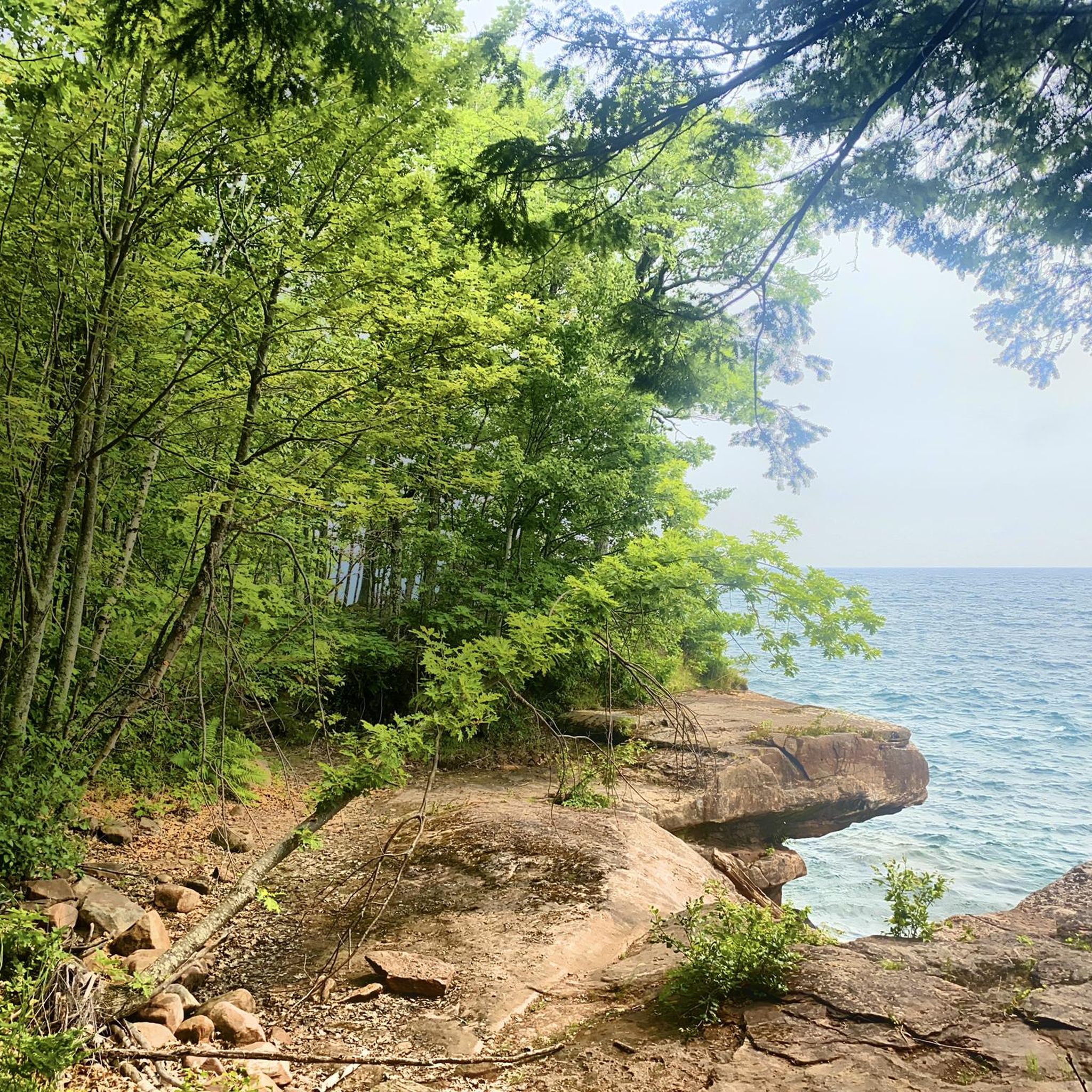
Begin your hike to Miners Castle and Miners Beach, an easy 3.1-mile (4.9 km) route that takes about 1 hour and 21 minutes to complete. You will experience a gentle elevation gain of 257 feet (78 metres) as you explore the diverse landscape. The trail leads you from the dramatic sandstone cliffs of Miners Castle, offering expansive views of Lake Superior, down to the wide, sandy expanse of Miners Beach. Imagine the feeling of walking along the shore with the vast lake stretching out before you. This path provides a refreshing blend of forest and open coastline.
Planning your visit is straightforward, as Miners Castle is easily accessible by vehicle, making it a convenient starting point for your adventure. While you can bring your pets to both Miners Castle and Miners Beach, please note that they are not permitted on the specific trail that connects these two beautiful areas. Be sure to check local regulations for any other restrictions before you head out.
This route is a notable segment of the larger North Country Scenic Trail, offering a unique opportunity to traverse a path that descends from the cliff top to the beach, crossing the Miners River along the way. The iconic Miners Castle sandstone formation itself is a geological marvel within Pictured Rocks National Lakeshore, providing a striking backdrop to your journey. Miners Beach stretches for nearly a mile, inviting you to enjoy its expansive sands and the grandeur of Lake Superior.
3.0
(2)
34
hikers
6.82km
01:44
20m
20m
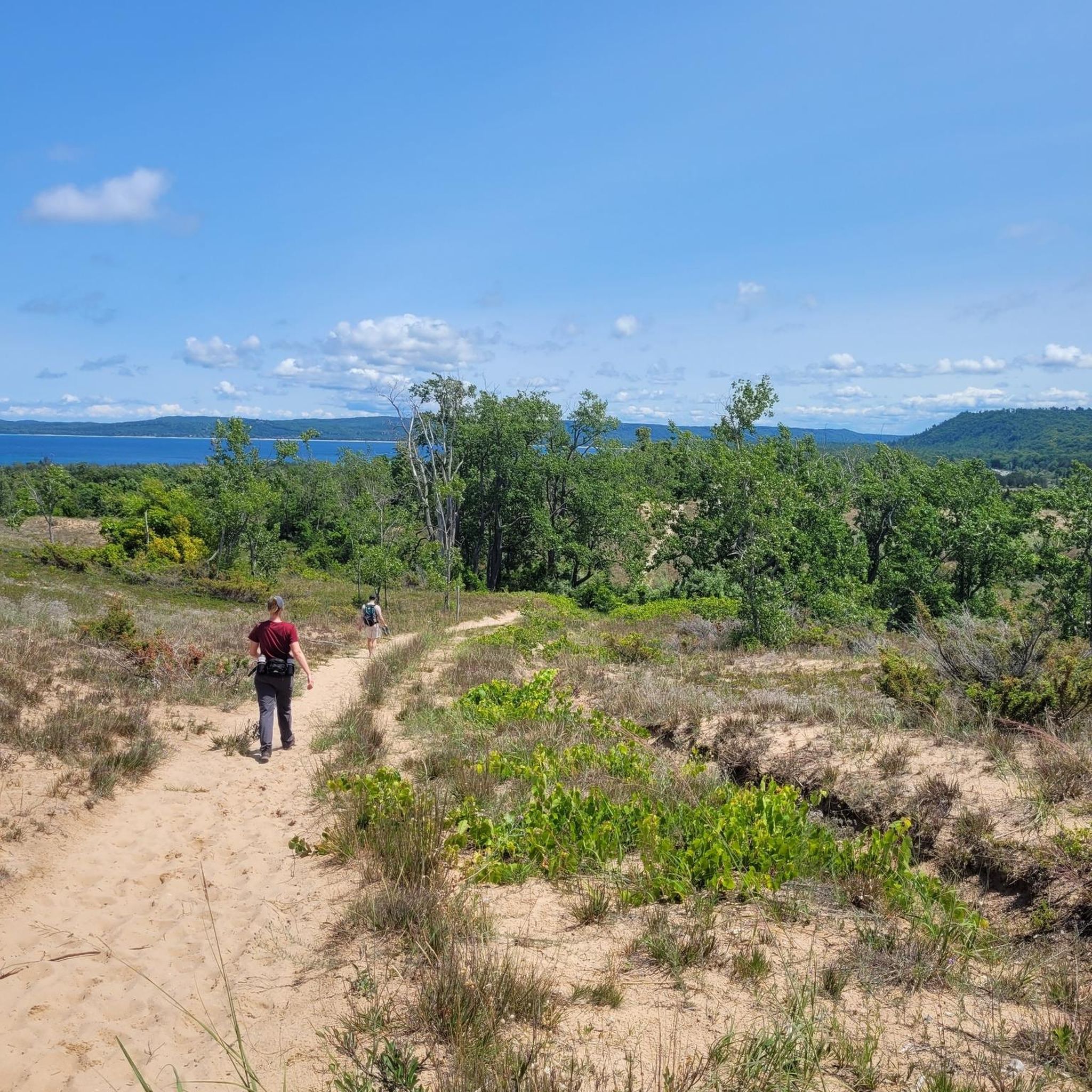
If you're seeking a quintessential Lake Michigan experience, the Ludington Lighthouse Trail delivers a memorable journey through diverse landscapes. This easy 4.2-mile (6.8 km) hike, with a gentle 64 feet (20 metres) of elevation gain, guides you through open and wooded sand dunes, offering picturesque views of the shoreline. You'll traverse sections of soft sand, which can be a good workout, before reaching the historic Big Sable Point Lighthouse, its black-and-white tower a beacon against the blue lake.
Planning your visit to this popular route within Ludington State Park is straightforward, though a recreation passport is typically required for park entry. The trail takes approximately 1 hour and 44 minutes to complete, making it a great option for a morning or afternoon outing. If you want to climb the lighthouse for panoramic views, remember it's open for tours and climbing from May to October for an additional fee.
The Ludington Lighthouse Trail is a highlight of Ludington State Park, showcasing the unique ecosystem of coastal dunes and the vastness of Lake Michigan. The inability to drive directly to the Big Sable Point Lighthouse adds to the sense of adventure and reward upon arrival, echoing the isolation lightkeepers once felt. It's a fantastic trail for families and those looking for scenic views without extreme difficulty.
Get access to more routes and recommendations from other explorers.
Already have an account?
Our route recommendations are based on thousands of hikes, rides, and runs completed by other people on komoot.
Start today with a free account
Your next adventure awaits.


Other adventures in Michigan


Tips from the Community

Time seems to stand still on Mackinac Island, not only because there are no cars, but also because there are two historic military forts and a handful of the oldest buildings in Michigan. Just being here will make you feel like you're in the past! Mackinac Island is home to many beautiful examples of Victorian architecture among the cottages and B&Bs, many of which are well over 100 years old. The island's museums and reenactments by costumed interpreters also offer glimpses into the lives of 19th-century soldiers and civilians.
2
0
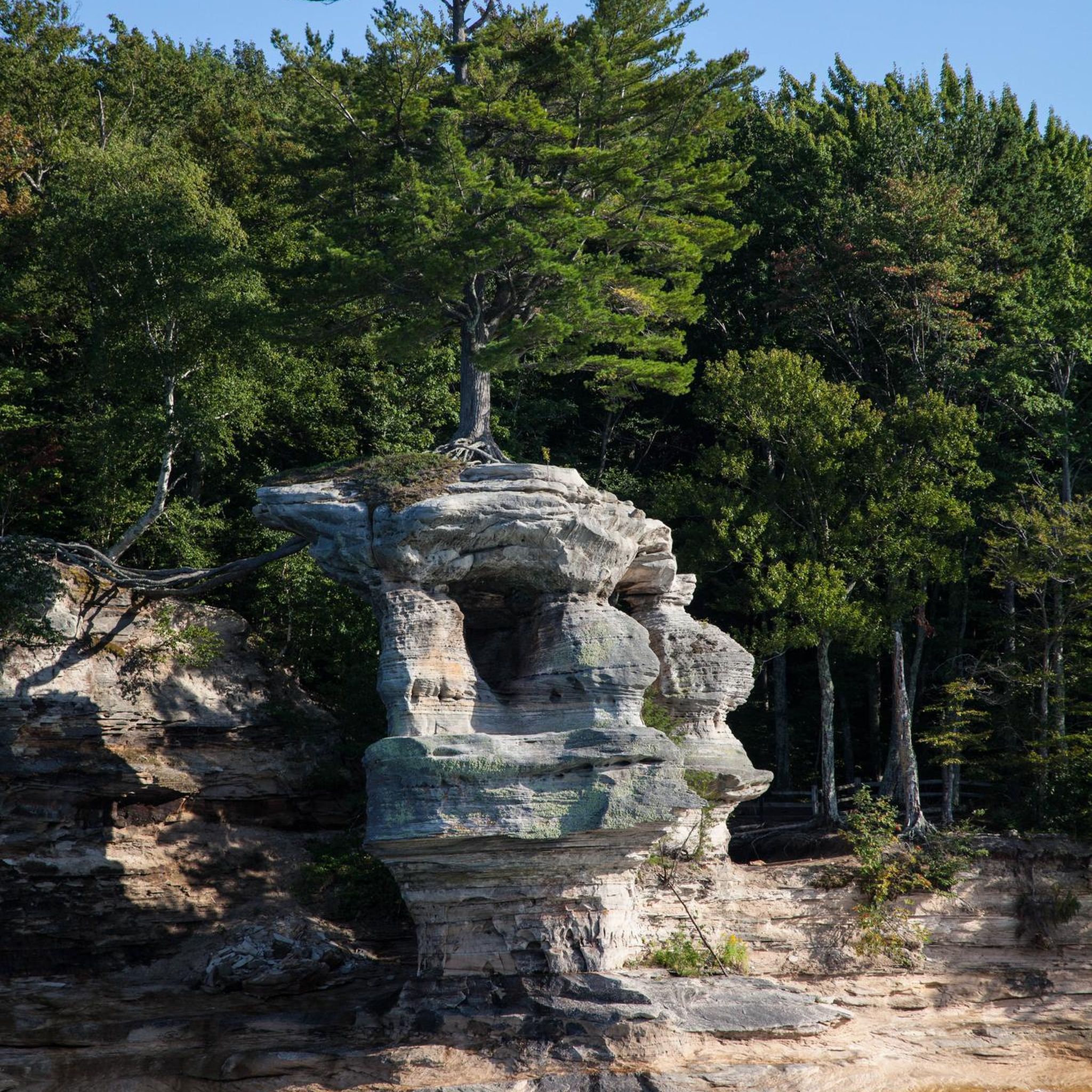
The most famous of the island's rock formations, this arch juts out over the water and is more than fifty feet wide. It attracts the vast majority of tourists to the island and is accessible on foot, by taxi, by carriage, or by bicycle. It can also be viewed from below on the island's circumnavigation tour.
2
0

The butterfly house is an absolute highlight, especially in late April and May; a must-see! A huge glasshouse with thousands of butterflies. Whenever I'm near Grand Rapids, my path leads me to the sculpture garden and the butterfly house!
1
0

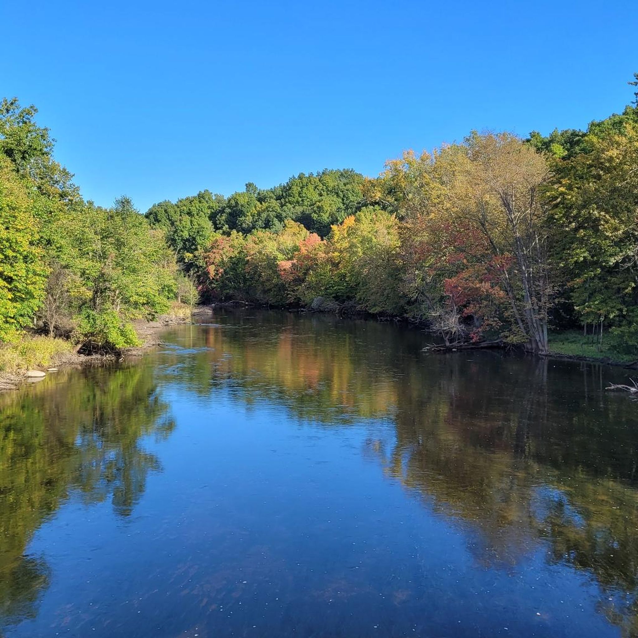
William Austin Burt was an inventor, legislator, and surveyor who lived near this site in Michigan. He built America's first patented typewriter in 1829 and later developed the solar compass, a groundbreaking tool for land surveying. His work contributed to discovering Michigan's iron ore deposits and establishing key survey markers.
0
0

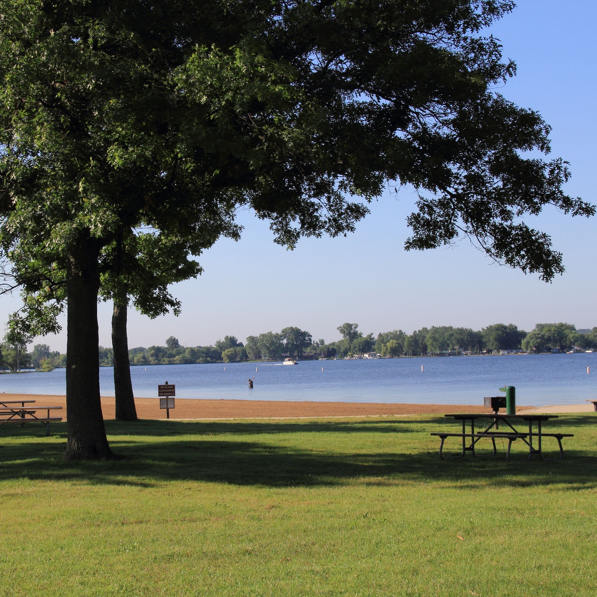
Large picnic area directly by the lake
1
0
Located directly on the lake with a great view
1
0
For William Austin Burt
1
0
With parking, rest areas, sanitary facilities, catering
1
0
Frequently Asked Questions
How many hiking trails are available in Michigan?
Michigan offers a vast network of hiking opportunities, with over 950 routes documented on komoot. These trails cater to various skill levels, from easy strolls to more challenging treks, ensuring there's something for every hiker.
What kind of terrain can I expect when hiking in Michigan?
Michigan's diverse landscape provides a wide range of hiking terrains. You can explore towering sand dunes along the Great Lakes shoreline, dense old-growth forests, and areas with numerous waterfalls. The state features both relatively flat, accessible paths and more rugged trails with moderate elevation changes, particularly in areas like the Upper Peninsula.
Are there family-friendly hiking trails in Michigan?
Yes, Michigan has many trails suitable for families and beginners. Routes like the Empire Bluff Trail — Sleeping Bear Dunes National Lakeshore offer an easy experience with rewarding views. Many state parks also provide well-maintained, shorter loops that are perfect for a leisurely family outing.
Can I hike with my dog in Michigan?
Many state parks and national forests in Michigan welcome dogs on trails, usually requiring them to be on a leash. However, regulations can vary by specific park or natural area, so it's always best to check the local rules before heading out. For example, some areas within Sleeping Bear Dunes National Lakeshore are dog-friendly, while others may have restrictions.
What natural landmarks or attractions can I see along the trails?
Michigan's trails often lead to stunning natural landmarks. You can discover impressive sand dunes, like those along the Dunes Trail to Lake Michigan, or explore unique geological formations such as Arch Rock. The state is also home to numerous waterfalls, including the impressive Tahquamenon Lower Falls, and serene lakes like Hawk Island Lake.
Are there any circular hiking routes in Michigan?
Yes, Michigan offers many excellent circular hiking routes. Popular options include the Chapel Trail Loop — Hiawatha National Forest, the Sleeping Bear Point Trail loop, and the Penosha Trail loop — Brighton State Recreation Area. These loops provide varied scenery and bring you back to your starting point.
What is the best time of year to hike in Michigan?
Each season offers a unique hiking experience in Michigan. Spring brings wildflowers and flowing waterfalls, while summer is ideal for enjoying the Great Lakes shoreline. Autumn is particularly stunning, with vibrant fall foliage across the state's vast forests. Even winter offers opportunities for snowshoeing and cross-country skiing on many trails.
Do I need permits or have to pay for parking at Michigan trailheads?
For Michigan State Parks and Recreation Areas, a Recreation Passport is generally required for vehicle entry. This passport can be purchased annually or daily. For national parks and national lakeshores, entrance fees or passes may apply. Parking availability varies; some popular trailheads have dedicated lots, while others may require street parking. Always check specific park regulations before your visit.
Are there challenging, long-distance hikes in Michigan?
For those seeking a challenge, Michigan is home to significant portions of the North Country National Scenic Trail, offering hundreds of miles of diverse terrain. The Porcupine Mountains Wilderness State Park also features demanding routes like the Big Carp River Trail. These longer trails often require careful planning and preparation.
What do other hikers enjoy most about hiking in Michigan?
The komoot community highly rates hiking in Michigan, with an average score of 4.6 stars from over 595 reviews. Hikers frequently praise the region's diverse landscapes, from the stunning Great Lakes views and impressive sand dunes to the peaceful, extensive forests and numerous waterfalls. The variety of trails, catering to all abilities, is also a common highlight.
Are there trails that feature waterfalls?
Absolutely. Michigan, especially the Upper Peninsula, is renowned for its waterfalls. Tahquamenon Falls State Park is a prime destination, offering trails that lead to the impressive Tahquamenon Falls. Pictured Rocks National Lakeshore also features several waterfalls cascading into Lake Superior, providing spectacular views along its coastal trails.
Can I reach hiking areas using public transport?
While some urban and suburban trailheads might be accessible via local public transport, many of Michigan's more remote and popular hiking destinations, especially state parks and national lakeshores, are best reached by car. Public transport options are generally limited outside major metropolitan areas, so planning for private vehicle access is often recommended.
Most popular routes in Michigan
Most popular attractions in Michigan

Get inspired with the komoot mobile app


Didn’t find what you were looking for?
Check out more Hikes throughout Michigan below and find the perfect route in your destination.
Explore more
Browse the best Hikes in other regions.
