The best cycling routes in the Mollogon Rim
4.2
(9)
432
riders
25
rides
Touring cycling in the Mollogon Rim offers routes across a striking topographical feature in Arizona, marking the southern edge of the Colorado Plateau. The region is characterized by a dramatic escarpment with high cliffs, transitioning from desert landscapes to extensive ponderosa pine forests. Elevations reach up to 7,900 feet, providing varied terrain from paved roads to gravel paths and dirt tracks. This area features unique canyons carved by erosion and faulting, alongside numerous mountain lakes.
Best touring cycling routes in…
Last updated: October 10, 2026
33
riders
24.4km
01:25
190m
320m
Moderate bike ride. Good fitness required. Mostly paved surfaces. Suitable for all skill levels.
5.0
(1)
9
riders
20.5km
01:22
310m
310m
Moderate bike ride. Good fitness required. Mostly paved surfaces. Suitable for all skill levels.

3.0
(1)
6
riders
18.9km
01:17
320m
320m
Moderate bike ride. Good fitness required. Mostly paved surfaces. Suitable for all skill levels.
1
riders
12.4km
00:57
110m
110m
Easy bike ride. Great for any fitness level. Mostly paved surfaces. Suitable for all skill levels.
16.5km
01:05
200m
200m
Moderate bike ride. Good fitness required. Mostly paved surfaces. Suitable for all skill levels.
23.2km
02:29
760m
760m
Hard bike ride. Very good fitness required. Mostly paved surfaces. Suitable for all skill levels.
23
riders
36.9km
02:25
470m
470m
Hard bike ride. Very good fitness required. You may need to push your bike for some segments of this route.
16
riders
Easy bike ride. Great for any fitness level. Mostly paved surfaces. Suitable for all skill levels.
14
riders
11.1km
01:01
70m
70m
Hard bike ride. Great for any fitness level. You may need to push your bike for some segments of this route.
11
riders
Hard bike ride. Very good fitness required. You may need to push your bike for some segments of this route.
Get access to more routes and recommendations from other explorers.
Already have an account?
Our route recommendations are based on thousands of hikes, rides, and runs completed by other people on komoot.
Start today with a free account
Your next adventure awaits.
Popular around Mollogon Rim

Bikepack in America's southwest – deserts, cacti and Anasazi culture

Grand Enchantment Trail — Slot canyons, spruce peaks & desert solitude

Arizona Trail — A beautiful 800-mile struggle

The Arizona Trail — From Mexico to Utah in 43 days

Highline National Recreation Trail – The High Road around the Mogollon Rim

Historic Route 66 – curiosities, selfie spots and diners

MTB in cactus country – technical delicacies around Phoenix
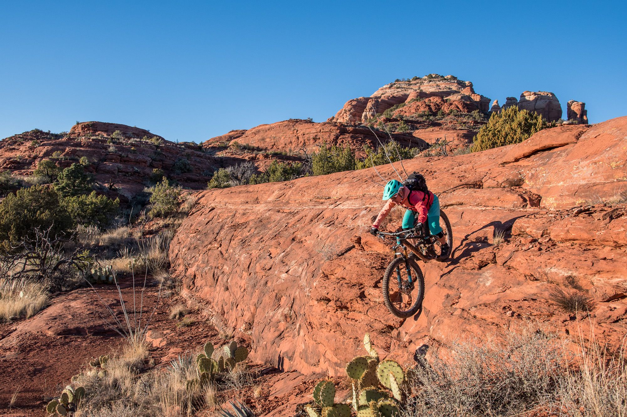
Shred the Red – Mountain biking in Sedona’s MTB hotspot
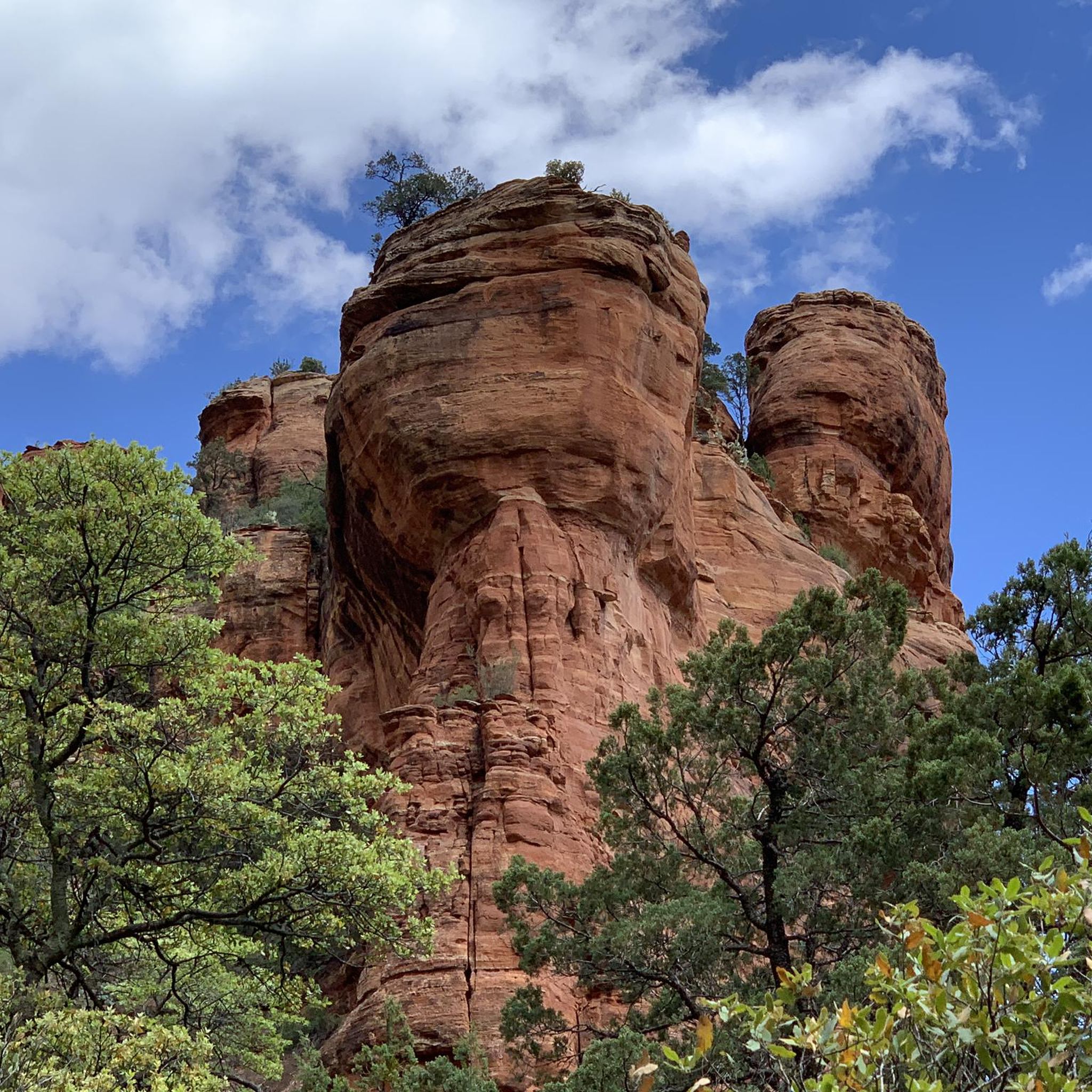
Hiking in the Mollogon Rim
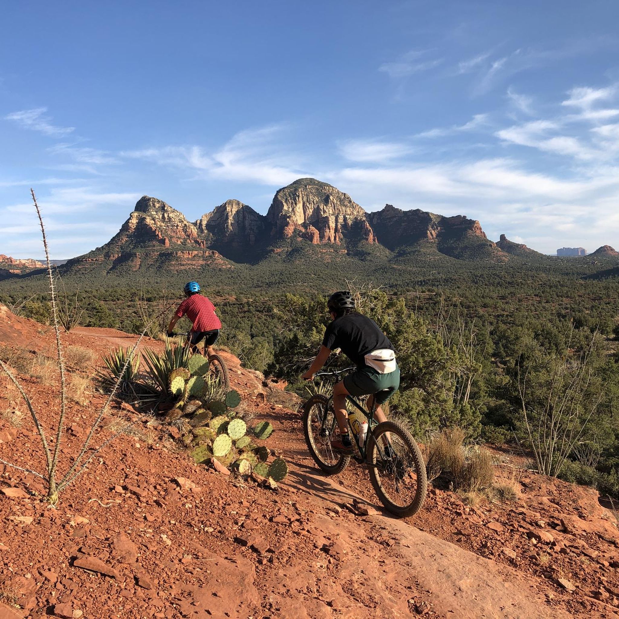
MTB Trails in the Mollogon Rim
Other adventures in the Mollogon Rim


Tips from the Community

Blevins Trail in Usery Mountain Regional Park near Mesa, Arizona, is a popular spot for gravel cycling thanks to its well-groomed, mostly flat terrain and scenic desert views. The 3.1-mile loop features crushed gravel and sand surfaces, making it ideal for beginner to intermediate riders. Cyclists can enjoy wide-open views of Pass Mountain and the Superstitions while weaving through classic Sonoran Desert landscape. The trail connects to others like Moon Rock and Cat Peaks, offering options to extend your ride. Accessible year-round, it’s best ridden in cooler months.
0
0

Visit early, because the small parking area gets overcrowded these days. From the lower parking walk up to the top parking area and then on the gracefully designed bridge up to the chapel, or catch one of the buses to take you to the walkway and back.
2
0

Great afternoon road ride with ample parking and no fees
0
0

From the first glance at the magnificent red rocks of Sedona, we sense the uniqueness of the place. We make a short stop to look at the rocks.
2
0

The Sedona Airport certainly makes a statement for people flying into the city. The airport is perched atop a hill that offers stunning views of the city and the massive red rocks as far as the eye can see. There is a kicker of a hill to get up here and when you reach the top, there is a gravel lot you can pull into.
0
0
The Chapel of the Holy Cross is a great destination to add to your ride. Even if you are not religious, there are stunning views and amazing climbs to get up here.
1
0
The Sedona Airport certainly makes a statement for people flying into the city. The airport is perched atop a hill that offers stunning views of the city and the massive red rocks as far as the eye can see. There is a kicker of a hill to get up here and when you reach the top, there is a gravel lot you can pull into.
0
0

Lover's Knoll is a scenic pull-off with a small dirt parking area. The views from this area are gorgeous, and the red rocks really illuminate at sunset. The views from here are so nice that it has become a popular spot for wedding photos, family photos, and tourists.
0
0
Frequently Asked Questions
How many touring cycling routes are available in the Mogollon Rim?
The Mogollon Rim offers a diverse selection of touring cycling routes. You can find over 20 routes, catering to various skill levels, from easy scenic rides to more challenging adventures.
What kind of terrain can I expect on touring cycling routes in the Mogollon Rim?
The terrain in the Mogollon Rim is quite varied. You'll encounter everything from paved roads, like sections of the Rim Lakes Vista Trail, to gravel paths and dirt tracks, especially on routes like Forest Road 300 (Rim Road). Some areas, particularly those part of the Mogollon Connector, can be rugged and require wider tires, making it a diverse experience for touring cyclists.
Are there touring cycling routes suitable for beginners or families in the Mogollon Rim?
Yes, the Mogollon Rim has routes suitable for beginners and families. For instance, the West Usery Mountain Regional Park loop is an easy option. The region offers 5 easy routes, often featuring less elevation gain and smoother surfaces, perfect for a relaxed family outing.
What are some challenging touring cycling routes for experienced riders?
For experienced touring cyclists seeking a challenge, the Mogollon Rim offers 10 difficult routes. Consider the Burnt Corral to Roosevelt Lake Marina loop, which features significant elevation changes. Another demanding option is the Boulder Creek Bridge – View of Rock Pinnacle loop from Mesquite Flat, known for its substantial climbs.
Can I find circular touring cycling routes in the Mogollon Rim?
Absolutely. Many touring cycling routes in the Mogollon Rim are designed as loops, allowing you to start and end at the same point. Examples include the Red Rock Loop, the West Usery Mountain Regional Park loop, and the Moon Rock Trail – Blevins Trail loop from Usery Mountain Regional Park.
What natural features and viewpoints can I see while cycling?
The Mogollon Rim is renowned for its dramatic landscapes. You'll encounter high cliffs, extensive ponderosa pine forests, and unique canyons. Many routes offer stunning panoramic views, especially along the Rim itself, where you can see vast stretches of forest and distant deserts. Keep an eye out for the distinctive red rock formations that characterize parts of the region.
Are there any specific landmarks or attractions worth visiting along the routes?
Yes, the region is rich with natural landmarks. While cycling, you might pass by impressive formations like Courthouse Rock or the iconic Cathedral Rock Trail. Other notable sights include Seven Sacred Pools and various mountain lakes like Woods Canyon Lake, popular for their scenic beauty.
What is the best time of year for touring cycling in the Mogollon Rim?
The Mogollon Rim is an excellent escape from the heat of lower elevations. Spring and fall offer pleasant temperatures and vibrant scenery, with fall foliage being particularly beautiful. While summers are cooler than the desert, some routes can be impassable when wet, so checking conditions is advisable. Winters can bring snow, making some trails inaccessible for touring cycling.
Is parking available at the trailheads for touring cyclists?
Parking is generally available at various trailheads and recreational areas throughout the Mogollon Rim, especially along popular routes like Forest Road 300 (Rim Road) and near the mountain lakes. Specific parking details can often be found on individual route pages or local forest service websites.
Are permits required for touring cycling in the Mogollon Rim?
Generally, permits are not required for touring cycling on most public roads and designated trails in the Mogollon Rim. However, it's always advisable to check with the local Forest Service or land management agencies for any specific regulations, especially if you plan to cycle in wilderness areas or on private land.
What do other cyclists say about touring cycling in the Mogollon Rim?
The touring cycling routes in the Mogollon Rim are highly rated by the komoot community, with an average score of 3.7 stars from over 5 reviews. Cyclists often praise the stunning natural beauty, the variety of terrain, and the opportunity to experience dramatic escarpments and dense pine forests.
Can I bring my dog on touring cycling routes in the Mogollon Rim?
Many trails and forest roads in the Mogollon Rim are dog-friendly, especially those managed by the Forest Service. However, it's crucial to keep your dog on a leash and ensure they are well-behaved around wildlife and other trail users. Always check specific trail regulations before heading out, as some protected areas or private lands may have restrictions.
Are there any routes that offer views of the iconic red rock formations?
Yes, several routes provide excellent views of the region's iconic red rock formations. The Red Rock Scenic Byway and the Chapel of the Holy Cross via Red Rock Scenic Byway are prime examples, winding through these distinctive landscapes and offering breathtaking vistas.
Most popular routes in the Mollogon Rim
Most popular attractions in the Mollogon Rim

Get inspired with the komoot mobile app


Explore more
Browse the best Cycling routes in other regions.
