The best walks and hikes around Neukirchen bei Sulzbach-Rosenberg
4.7
(362)
1,581
hikers
129
hikes
Hiking around Neukirchen bei Sulzbach-Rosenberg offers diverse landscapes within the Naturpark Fränkische Schweiz – Veldensteiner Forst. The region features rolling hills, dense forests, and a notable karst landscape with numerous rock formations and caves. Several rivers, including the Vils and Pegnitz, also traverse the area, providing varied terrain for exploration.
Best hiking trails around Neukirchen bei Sulzbach-Rosenberg
- The most popular hiking route is Geiskirche Cave – Rock shelter at Lenzenberg loop from Osterhöhle, a 2.6 miles (4.1 km) trail…
Last updated: July 11, 2026
4.8
(28)
95
hikers
4.14km
01:10
90m
90m
Easy hike. Great for any fitness level. Easily-accessible paths. Suitable for all skill levels.
4.7
(30)
117
hikers
Moderate hike. Good fitness required. Easily-accessible paths. Suitable for all skill levels.

Sign up for free
4.9
(15)
46
hikers
Moderate hike. Great for any fitness level. Mostly accessible paths. Sure-footedness required.
4.7
(13)
40
hikers
Hard hike. Very good fitness required. Sure-footedness, sturdy shoes and alpine experience required.
4.9
(27)
92
hikers
Hard hike. Good fitness required. Sure-footedness, sturdy shoes and alpine experience required.
Get access to more routes and recommendations from other explorers.
Sign up for free
Already have an account?
Our route recommendations are based on thousands of hikes, rides, and runs completed by other people on komoot.
Start today with a free account
Your next adventure awaits.
Login or Signup
Popular around Neukirchen bei Sulzbach-Rosenberg

All aboard for summer hiking with Germany’s VGN

Winter won't stop us – VGN tips for exploring Germany’s Franconia in the cold

Hike & Beer in Franconia and Upper Palatinate — the VGN leisure tips
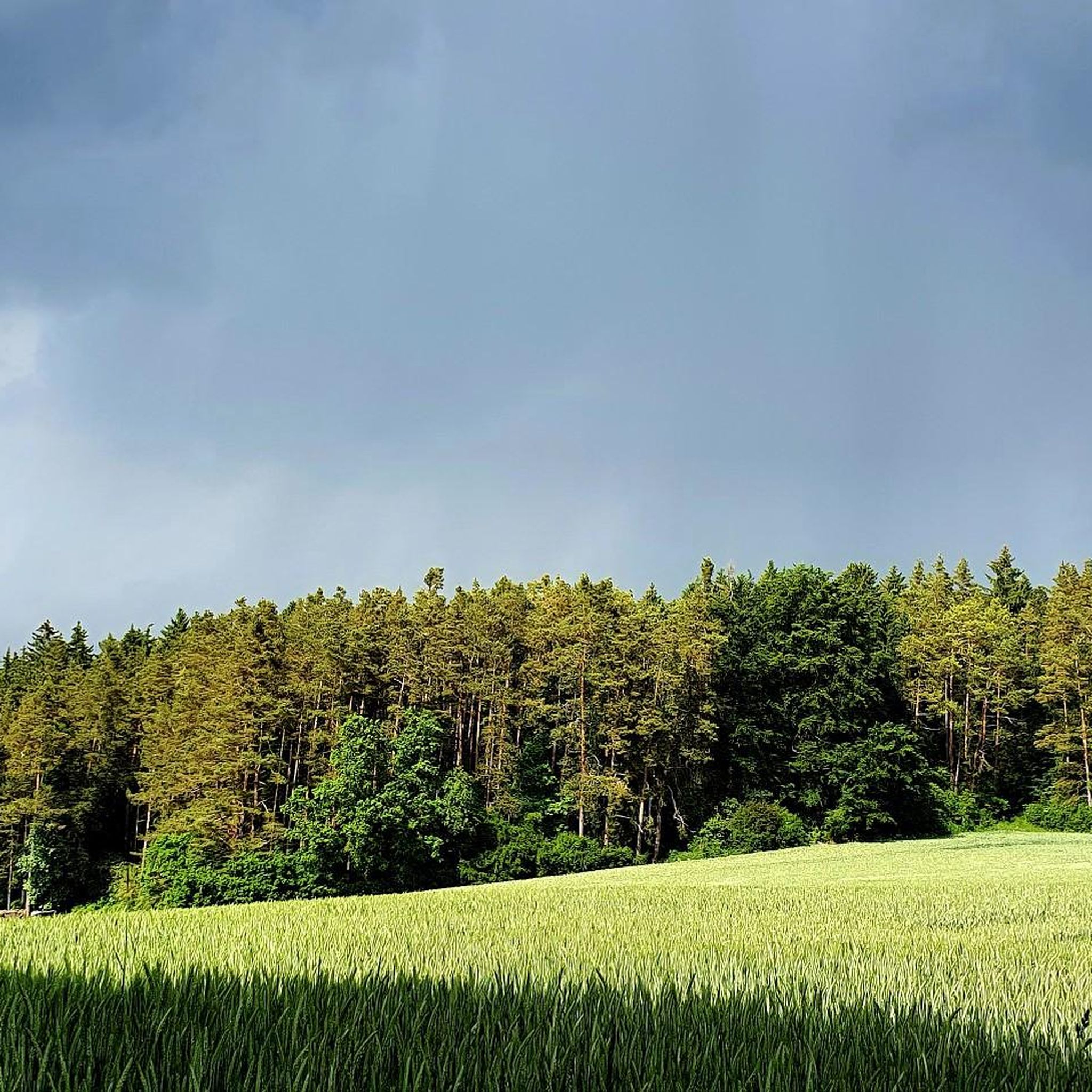
Cycling around Neukirchen bei Sulzbach-Rosenberg
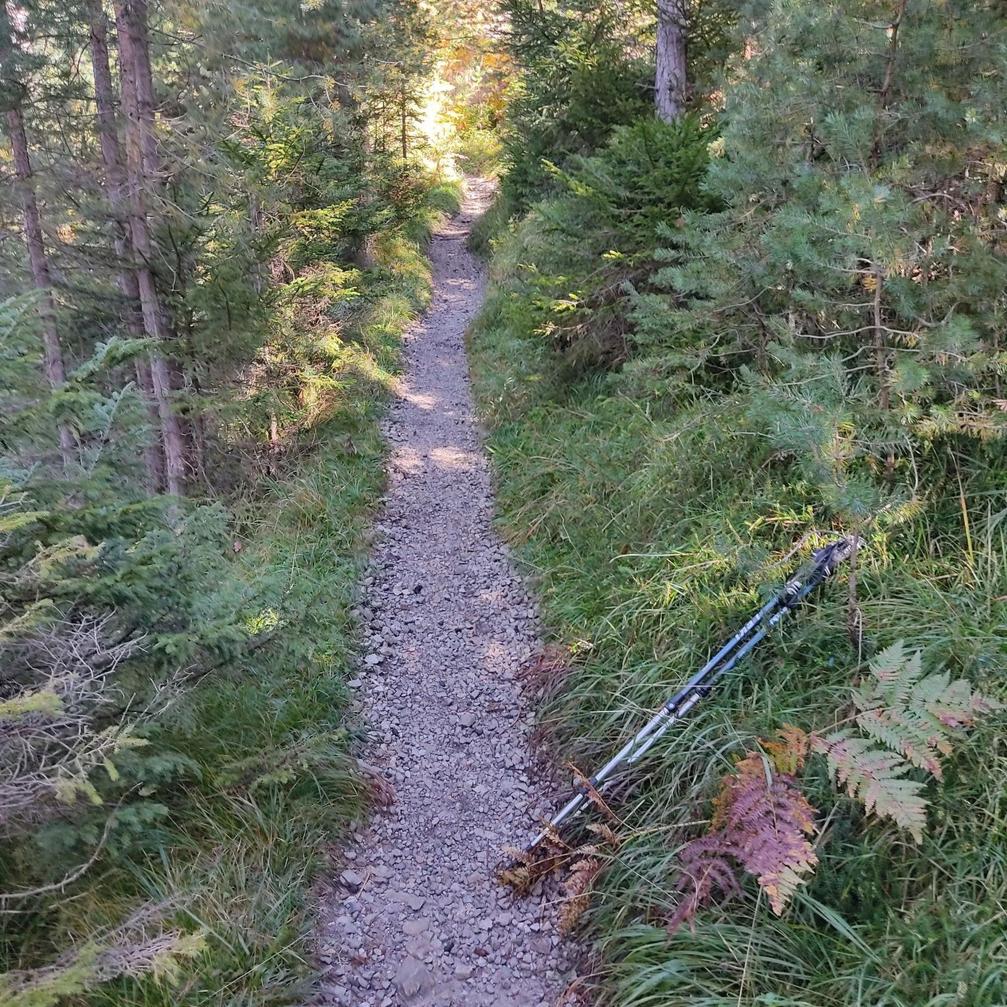
Mountain Hikes around Neukirchen bei Sulzbach-Rosenberg
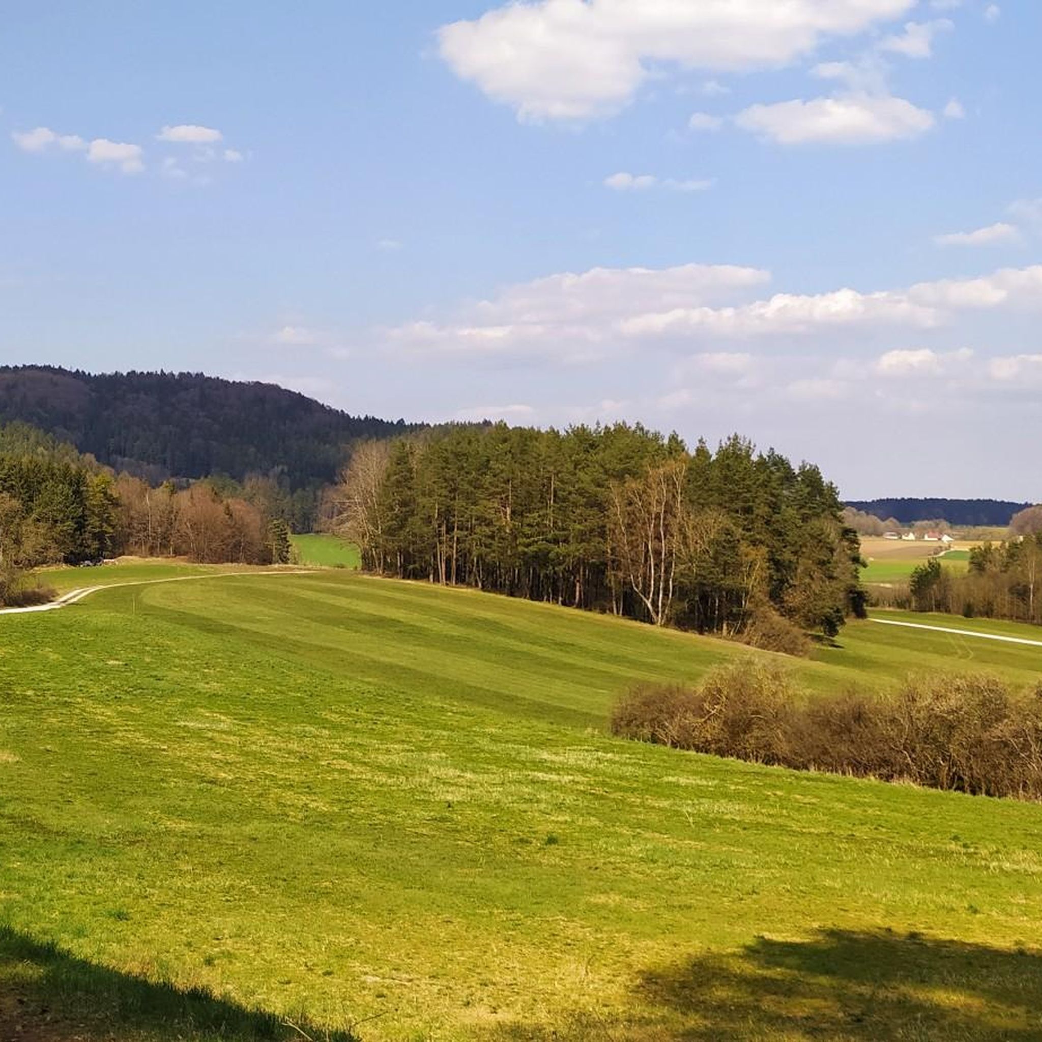
Road Cycling Routes around Neukirchen bei Sulzbach-Rosenberg
MTB Trails around Neukirchen bei Sulzbach-Rosenberg
Gravel biking around Neukirchen bei Sulzbach-Rosenberg
Running Trails around Neukirchen bei Sulzbach-Rosenberg
Other adventures around Neukirchen bei Sulzbach-Rosenberg

Tips from the Community

Embedded in a beautiful rock formation.
0
0
There is so incredibly much to discover.
0
0

Great climbing fun, also suitable for children. Unfortunately, it's completely in the forest, so no view.
0
0

On a huge rock, the trail goes directly along the top, partly through crevices
1
0

A detour is definitely worth it. It's an impressive rock formation; it's also a climbing area.
0
0

Very nice path not recommended on Sundays very many hikers
0
0
...you practically cycle past it, if you want you can ride through, it's only a few meters deep, but looking out through two rock gates is something...
1
0
Frequently Asked Questions
How many hiking trails are available in Neukirchen bei Sulzbach-Rosenberg?
There are over 120 hiking trails around Neukirchen bei Sulzbach-Rosenberg, offering a wide range of options for different fitness levels and interests. You'll find everything from easy strolls to more challenging routes through the diverse landscape.
What kind of natural features can I expect to see on hikes in this region?
The region is known for its fascinating karst landscapes, featuring impressive rock formations and numerous caves. You can explore sites like the Stone city with the "Two Brothers", the Vogelherd Grotto, and the Weissingkuppe Rock Labyrinth. Many trails also follow rivers like the Vils and Pegnitz, or wind through dense forests and rolling hills.
Are there any family-friendly hiking options in Neukirchen bei Sulzbach-Rosenberg?
Yes, the area offers several family-friendly routes. For shorter walks, consider trails that lead to the adventure playground at Hirschau Castle Park. Many of the easy routes, such as the Geiskirche Cave – Rock shelter at Lenzenberg loop from Osterhöhle, are also suitable for families looking to explore caves and rock shelters.
What is the best time of year to go hiking in Neukirchen bei Sulzbach-Rosenberg?
The best seasons for hiking are spring and autumn. In spring, the meadows and trees are in full bloom, offering vibrant scenery. Autumn provides a spectacular display of colorful foliage and generally mild temperatures, making it ideal for longer excursions.
Are there any circular hiking routes available?
Yes, many routes in the region are circular, allowing you to start and end at the same point. An example is the Middle Lupberg Cave – Osterberg Rock Formation loop from Neukirchen bei Sulzbach-Rosenberg, which takes you through forests to significant rock formations and caves.
What do other hikers say about the trails in Neukirchen bei Sulzbach-Rosenberg?
The hiking trails in Neukirchen bei Sulzbach-Rosenberg are highly rated by the komoot community, with an average score of 4.7 stars from over 340 reviews. Hikers often praise the diverse landscapes, the well-maintained paths, and the unique rock formations and caves encountered along the way.
Are there any challenging hikes for experienced trekkers?
Yes, for those seeking a more demanding experience, there are several difficult routes. One such option is the Geiskirche Cave – Frenchmen's Cave loop from Neukirchen (b Sulzbach-Rosenberg), which covers a longer distance and features more significant elevation changes.
Can I find trails that lead to viewpoints or scenic overlooks?
Absolutely. The region offers several viewpoints that provide stunning vistas. For example, you can find trails leading to the View of Happurger See from Hohler Fels, which offers expansive views of the reservoir and surrounding landscape.
Are there any specific trails that feature caves or rock shelters?
Many trails highlight the region's unique karst features. The Frenchmen's Cave – Frauenfels Rock Formation loop from Neukirchen bei Sulzbach-Rosenberg is a great example, leading you through forested areas to impressive rock formations and caves.
What is the typical duration for hikes in this area?
Hikes in Neukirchen bei Sulzbach-Rosenberg vary in length and duration. Easy routes, like the Geiskirche Cave – Rock shelter at Lenzenberg loop from Neukirchen bei Sulzbach-Rosenberg, can be completed in about 1.5 hours. Moderate and difficult trails can take several hours, with some longer routes extending up to 5-6 hours or more.
Are there any specific natural monuments to look out for?
Beyond the general rock formations, the area is home to specific natural monuments. The Stone city with the "Two Brothers" is a particularly captivating karst rock labyrinth, and the Weissingkuppe Rock Labyrinth is known for its intriguing "mushroom rock" formations.
Most popular routes around Neukirchen bei Sulzbach-Rosenberg
Most popular attractions around Neukirchen bei Sulzbach-Rosenberg

Get inspired with the komoot mobile app


Explore more
Browse the best Hikes in other regions.
