The best walks and hikes around Oberehe-Stroheich
4.5
(15924)
56,238
hikers
15
hikes
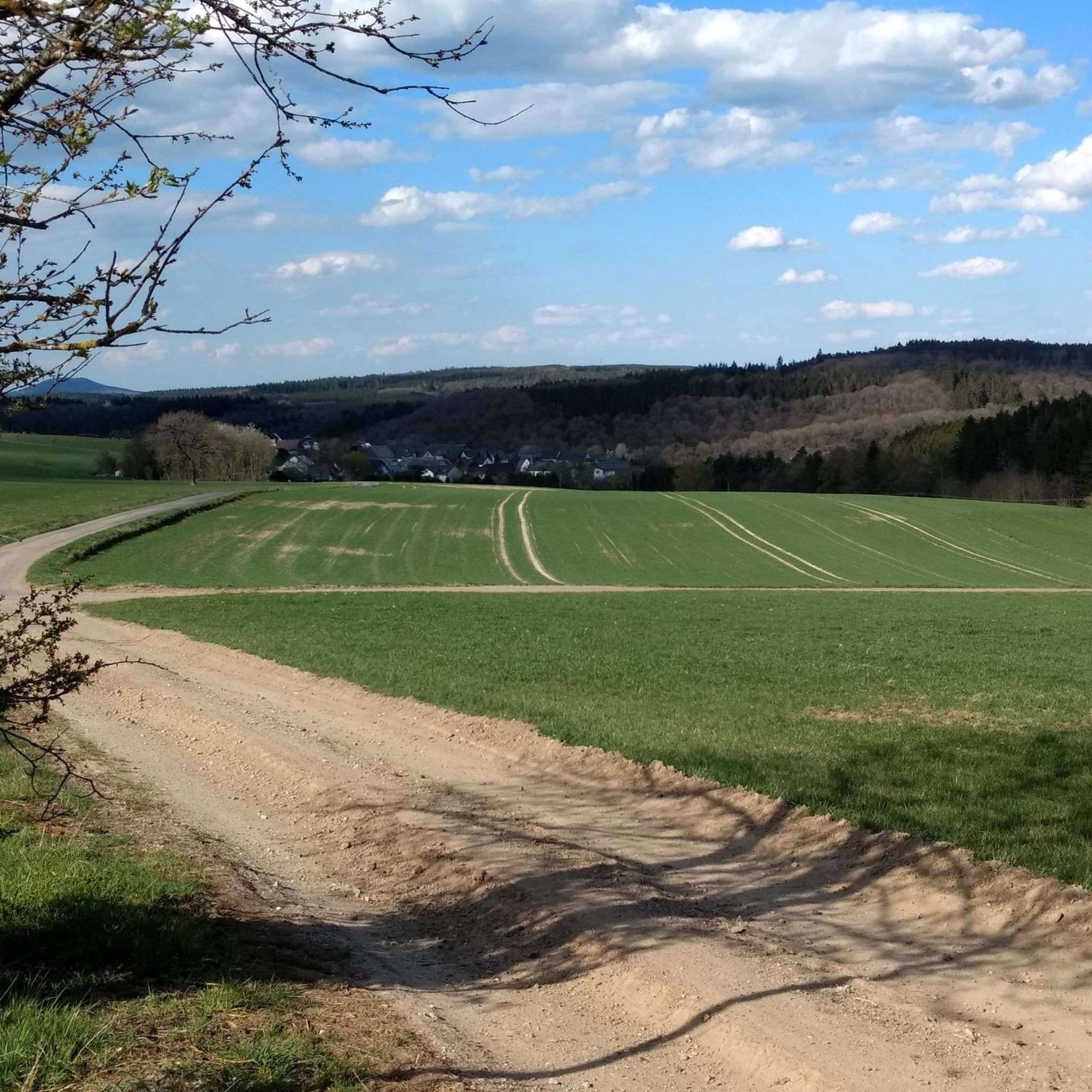
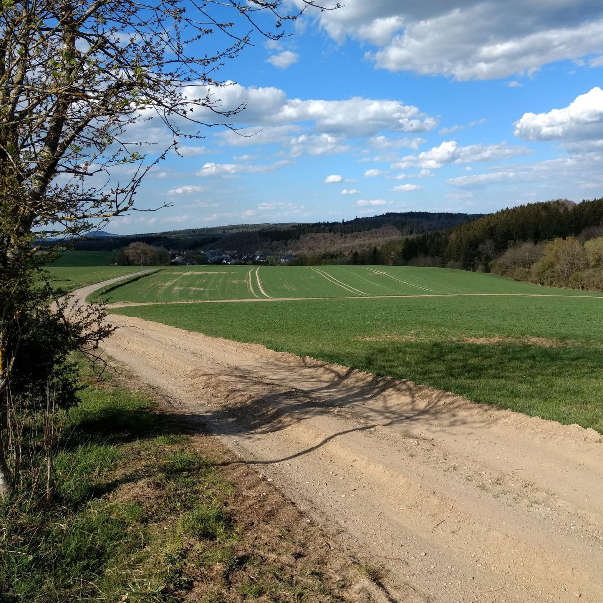
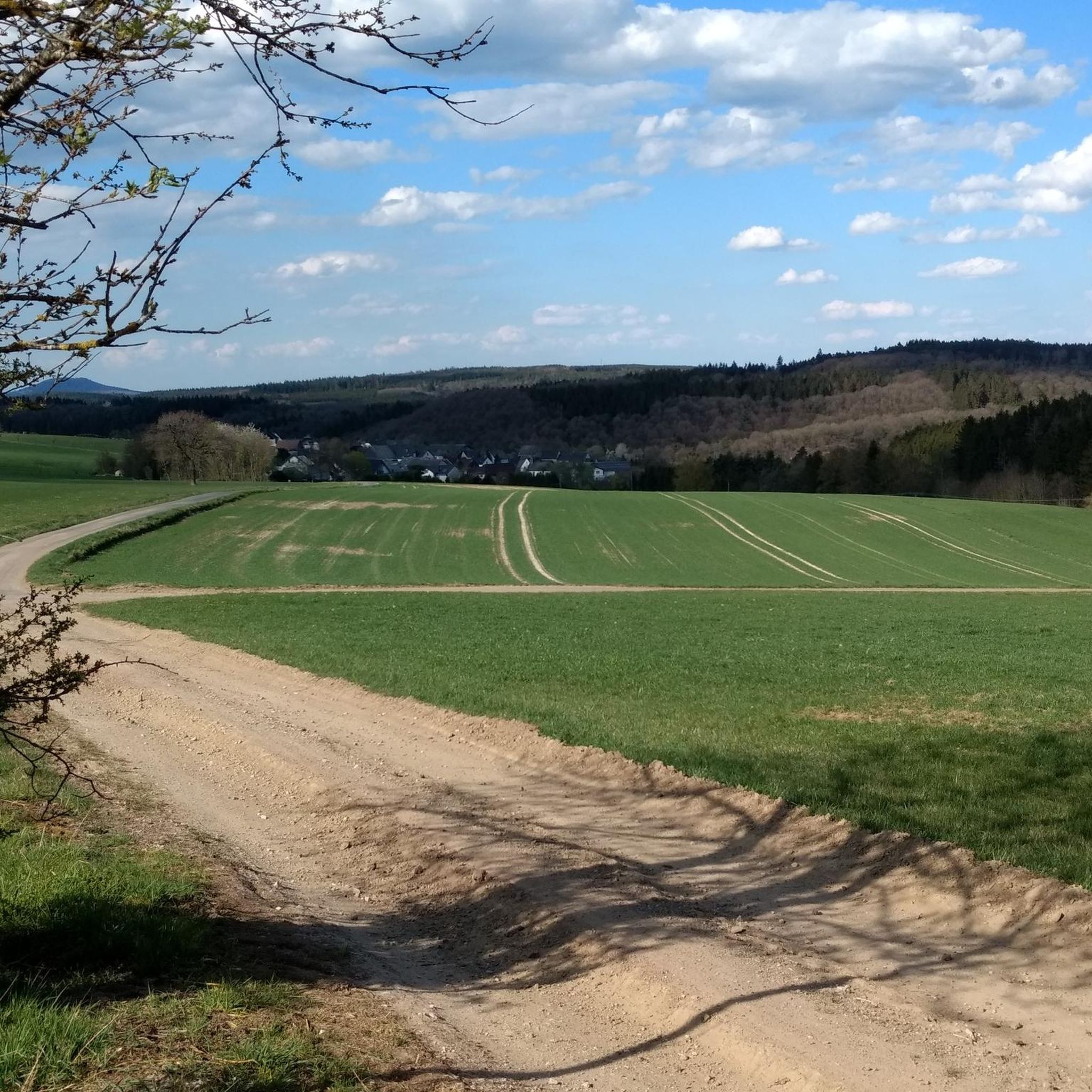
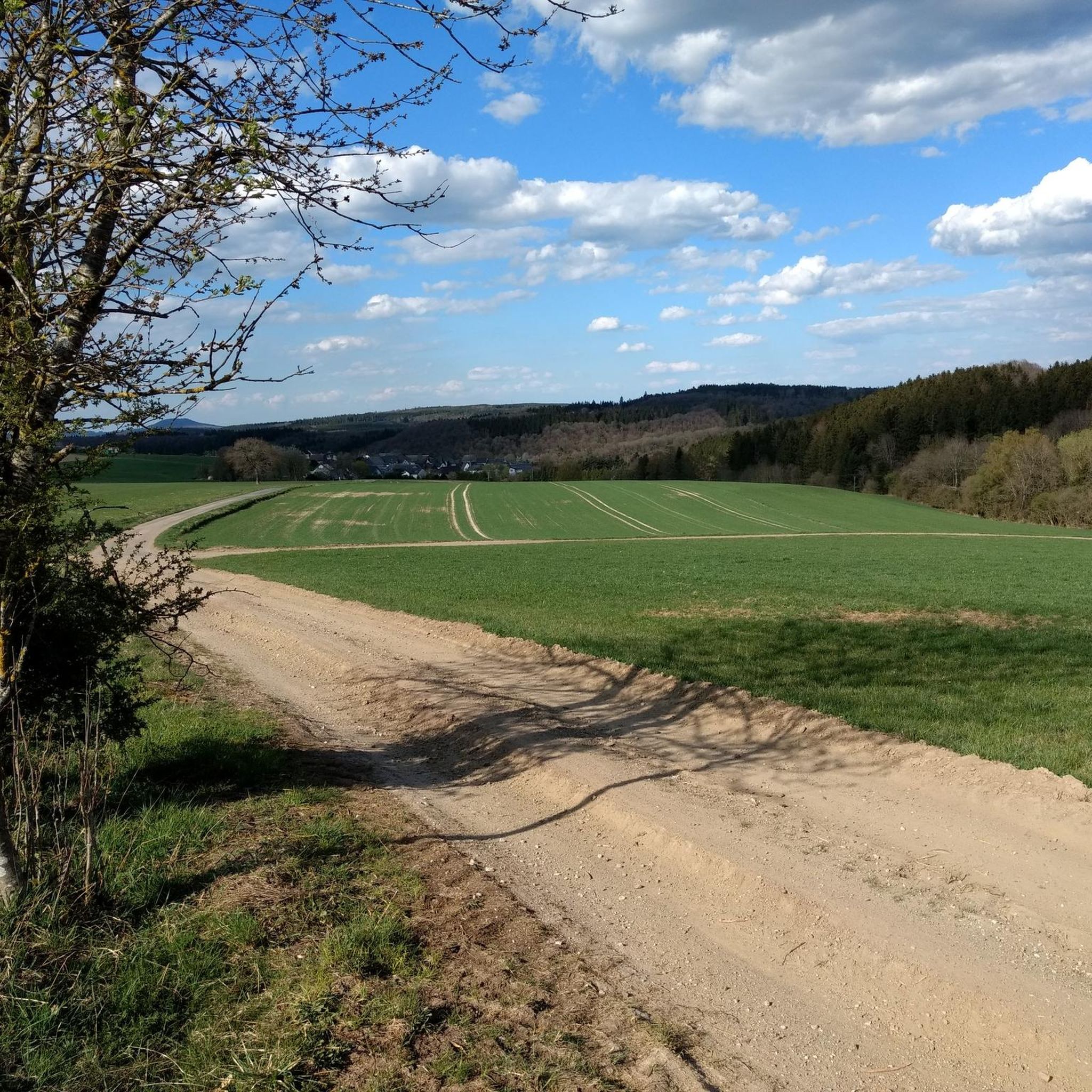
Hiking around Oberehe-Stroheich offers diverse trails through a distinctive volcanic landscape within the Eifel region. The terrain features ancient volcanic craters known as Maare, rolling hills, and dense forests. Hikers can explore areas with unique juniper slopes and valleys, providing varied scenery for outdoor activity.
Best hiking trails around Oberehe-Stroheich
- The most popular hiking route is Dreiser Weiher – Dreis Castle loop from Oberehe, a 4.4 miles (7.2 km) trail that takes 1 hour 57 minutes to complete, passing…
Last updated: June 28, 2026
4.8
(12)
43
hikers
7.16km
01:57
110m
110m
Easy hike. Great for any fitness level. Easily-accessible paths. Suitable for all skill levels.
4.8
(4)
13
hikers
10.9km
03:01
200m
200m
Moderate hike. Good fitness required. Easily-accessible paths. Suitable for all skill levels.

Sign up for free
9
hikers
7.03km
01:57
130m
130m
Easy hike. Great for any fitness level. Easily-accessible paths. Suitable for all skill levels.
5.0
(4)
5
hikers
6.36km
01:46
120m
120m
Easy hike. Great for any fitness level. Easily-accessible paths. Suitable for all skill levels.
4.0
(1)
6
hikers
14.9km
04:10
290m
290m
Moderate hike. Good fitness required. Easily-accessible paths. Suitable for all skill levels.
Get access to more routes and recommendations from other explorers.
Sign up for free
Already have an account?
Our route recommendations are based on thousands of hikes, rides, and runs completed by other people on komoot.
Start today with a free account
Your next adventure awaits.
Login or Signup

Tips from the Community

A little north of the two villages of Walsdorf and Zilsdorf is a highlight that every visitor to the Eifel with at least a little geological interest should have on their wish list: The Arensberg volcano. Since this is created separately (and unfortunately, multiple times in the komoot system), here is only the access, a tunnel of non-natural origin. A covered passage has been created to protect visitors from possible falling rocks.
2
0
Is there already under =>> https://www.komoot.com/de-de/highlight/346147
1
0
All hikers on this forest path are welcome to take the following lines by the writer O. W. Ullmann with them: „Wandern, das heißt vorwärtsstreben, frohen Muts nach Zielen gehen, aus dem Alltag sich erheben und in lichte Fernen sehen, Widrigkeiten überwinden, stark und frei zur Höhe finden und Vollbringerstolz erleben: Wandern, das heißt vorwärtsstreben.“
0
0

An absolute highlight!!! Very friendly, delicious cake, great atmosphere, especially the garden is unique. Highly recommended!!!
0
0

Great volcanic crater that you can drive into through the tunnel
0
0


For the maar, which was formed in the Quaternary, see e.g. de.m.wikipedia.org/wiki/Dreiser_Weiher
0
0
For the Vulkania healing spring, see e.g. https://www.eifel.info/a-vulkania-heilquelle. Next to the spring is a pretty, well-maintained chapel where you can take a rest.
0
0
Frequently Asked Questions
How many hiking trails are available in Oberehe-Stroheich?
There are 16 hiking trails around Oberehe-Stroheich, offering a variety of experiences for different skill levels, from easy walks to more moderate ascents.
What kind of landscapes can I expect to see while hiking in Oberehe-Stroheich?
The region is characterized by its unique volcanic landscape, featuring ancient volcanic crater lakes known as Maare, rolling hills, and dense forests. You'll also find picturesque valleys and unique juniper slopes, particularly near Niederehe.
Are there any family-friendly hiking options in Oberehe-Stroheich?
Yes, Oberehe-Stroheich offers several easy trails suitable for families. The region is known for its 'Adventure Trail' which includes numerous stations for children to play and discover local flora and fauna. Many of the easy routes, such as the Walsdorf Wayside Chapel – Hollowed-out volcano loop from Stroheich, are also great for a family outing.
Can I bring my dog on the hiking trails?
Most hiking trails in Oberehe-Stroheich are dog-friendly. The diverse landscapes, from forests to open fields, provide a great environment for walks with your canine companion. Always ensure your dog is on a leash where required and respect local wildlife.
What are some notable natural features or landmarks to look out for?
Hikers can explore the interior of the Arensberg volcano, visit the picturesque volcanic crater lakes (Maare), and discover unique juniper slopes. The Millstone Caves at Nerother Kopf are also a fascinating natural attraction. For stunning views, consider the 'Mausefallenblick' viewpoint.
Are there any circular hiking routes available?
Yes, many routes in Oberehe-Stroheich are designed as circular walks, allowing you to start and end at the same point. An example is the At Döhmberg – Vulkania Healing Spring loop from Oberehe, which takes you past volcanic features and a healing spring.
What is the best time of year to go hiking in Oberehe-Stroheich?
The most favorable seasons for hiking in Oberehe-Stroheich are spring, summer, and autumn. During these times, the landscape is vibrant with wildflowers, lush forests, or stunning fall foliage, offering beautiful scenery and pleasant weather conditions.
Are there any waterfalls in the area?
Yes, the Dreimühlen Waterfall is a notable natural attraction located near Nohn, which can be incorporated into longer hiking routes. It's a unique natural formation worth seeking out.
What do other hikers enjoy most about the trails in Oberehe-Stroheich?
The trails in Oberehe-Stroheich are highly rated by the komoot community, with an average score of 4.5 stars from over 9,900 reviews. Hikers often praise the diverse volcanic landscapes, the well-maintained paths, and the variety of routes suitable for different fitness levels.
How can I get to the hiking trails using public transport?
While specific public transport connections to every trailhead can vary, Oberehe-Stroheich is generally accessible within the Eifel region's public transport network. It's advisable to check local bus schedules for connections to the villages of Oberehe and Stroheich, which serve as starting points for many routes.
Are there places to eat or stay near the hiking routes?
The village of Oberehe-Stroheich and surrounding areas offer various options for refreshments and accommodation. You can find cafes like the Old Bakehouse Bolsdorf and huts such as the Em Backes Hiking Hut, which are often integrated into hiking itineraries. Many local establishments cater to hikers.
What is the typical difficulty level of hikes in this region?
The hiking trails around Oberehe-Stroheich offer a mix of difficulty levels. You'll find 8 easy routes and 8 moderate routes, making it suitable for both casual walkers and those looking for a bit more challenge. There are no difficult routes listed in this guide.
Most popular routes around Oberehe-Stroheich
Most popular attractions around Oberehe-Stroheich

Get inspired with the komoot mobile app


Explore more
Browse the best Hikes in other regions.
