The best road cycling routes around Oberehe-Stroheich
4.5
(242)
2,606
riders
200
rides
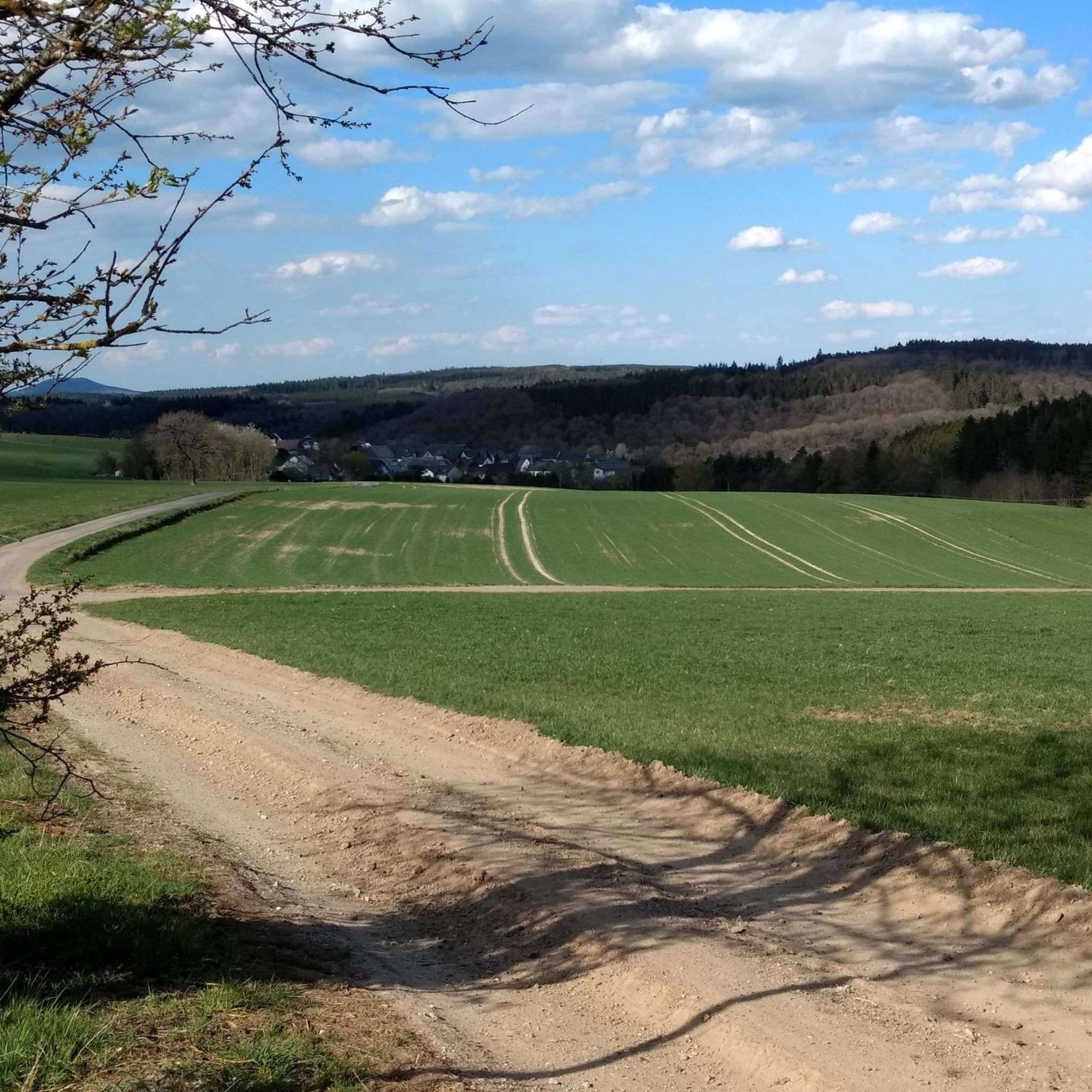
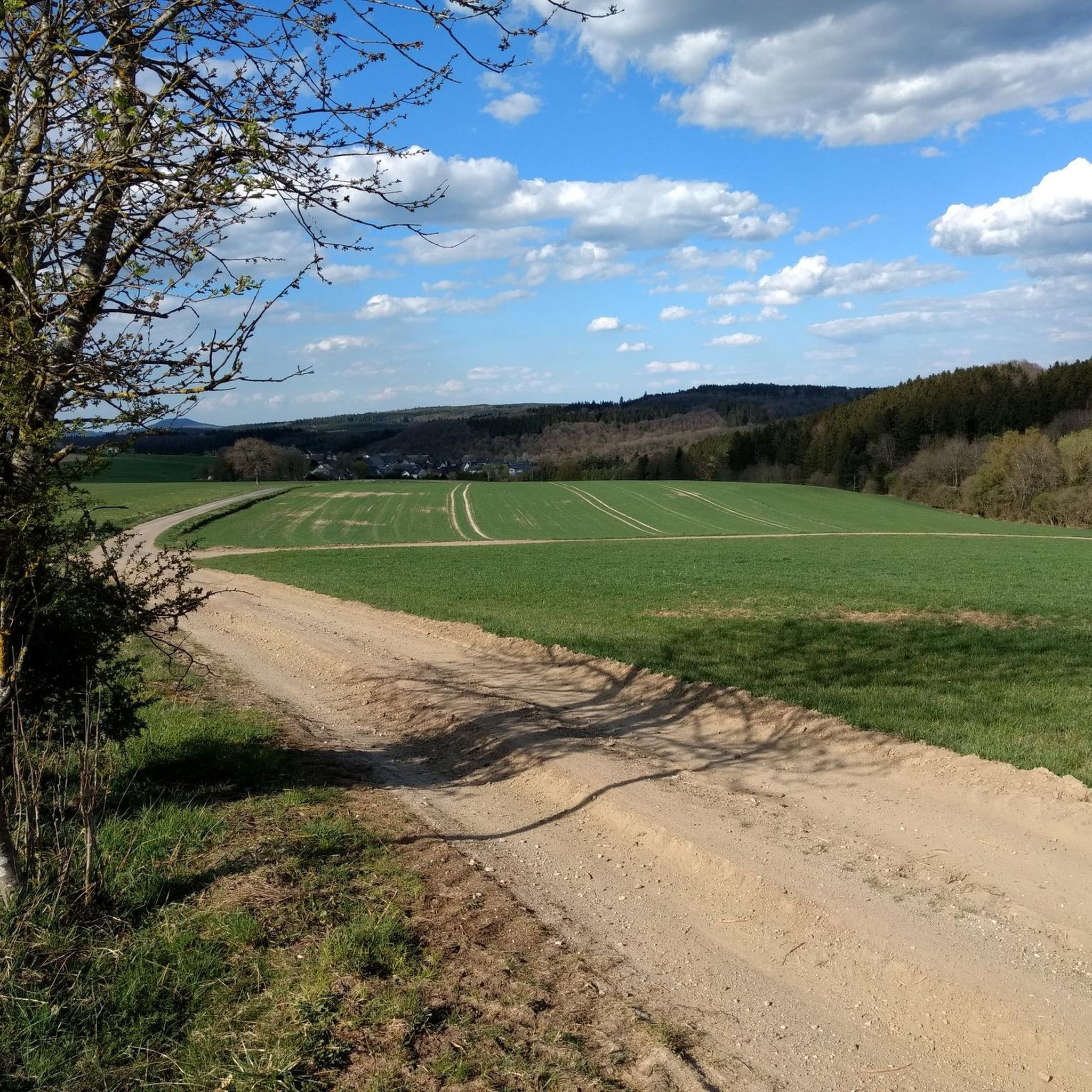
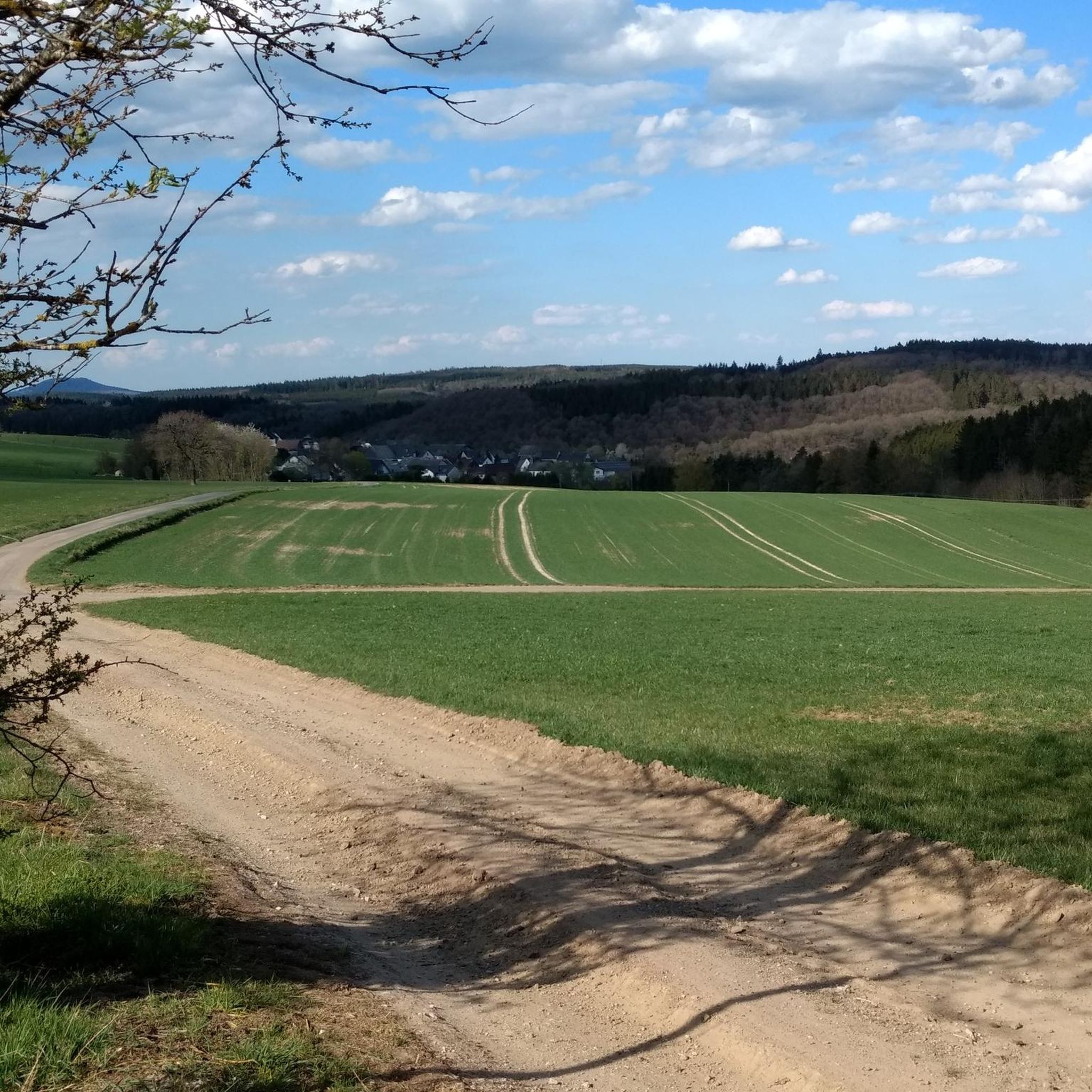
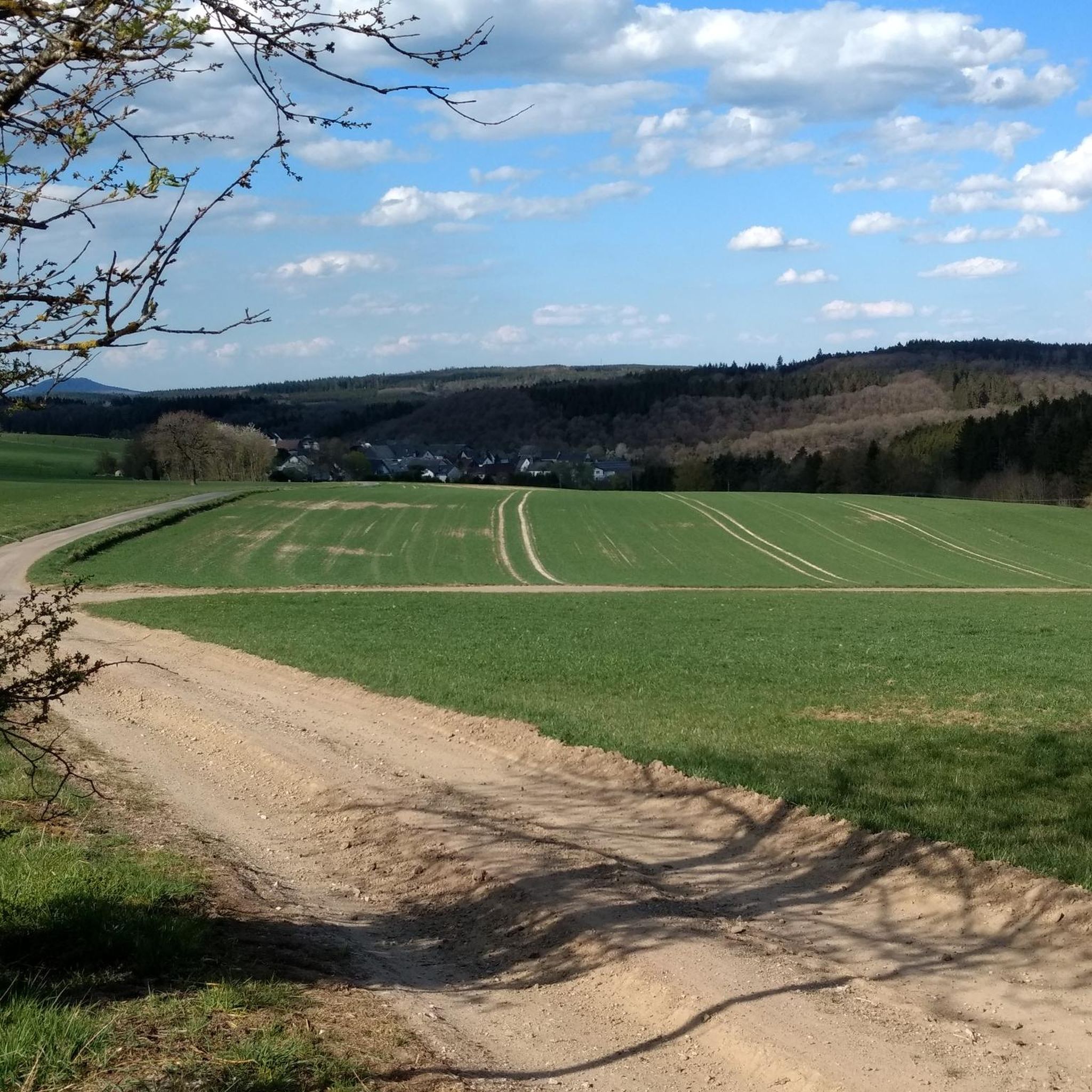
Road cycling routes around Oberehe-Stroheich traverse a landscape characterized by river valleys, rolling hills, and historical towns. The region features varied terrain, from the gentle gradients of the Kyll Cycle Path to more challenging climbs. Road cyclists can expect routes that pass by natural landmarks like waterfalls and historical sites such as city walls and castles.
Best road cycling routes around Oberehe-Stroheich
- The most popular road cycling route is Kyll Cycle Path near Lissingen – Climb to Rom loop from…
Last updated: July 15, 2026
7
riders
65.4km
03:33
1,060m
1,050m
Hard road ride. Very good fitness required. You may need to push your bike for some segments of this route.
4.0
(2)
7
riders
40.3km
01:58
580m
580m
Moderate road ride. Good fitness required. Mostly well-paved surfaces and easy to ride.

Sign up for free
10
riders
46.1km
02:15
660m
660m
Moderate road ride. Good fitness required. Some segments of this route may be unpaved and difficult to ride.
5
riders
25.0km
01:23
460m
460m
Moderate road ride. Good fitness required. Mostly well-paved surfaces and easy to ride.
3
riders
41.7km
01:59
540m
540m
Moderate road ride. Good fitness required. Mostly well-paved surfaces and easy to ride.
Get access to more routes and recommendations from other explorers.
Sign up for free
Already have an account?
Our route recommendations are based on thousands of hikes, rides, and runs completed by other people on komoot.
Start today with a free account
Your next adventure awaits.
Login or Signup

Tips from the Community

An absolute highlight!!! Very friendly, delicious cake, great atmosphere, especially the garden is unique. Highly recommended!!!
0
0

good bakery
0
0

Perfect asphalt and moderate incline :) perfect for performance testing!
0
0


Good and quiet cycle path along the beautiful river Kyll. It is almost flat here so there is not much to climb, but you can cycle nicely.
1
0

Delicious cakes, friendly service, and a cozy courtyard with many different corners and seating areas—worth a stop anytime!
0
0

Behind the old railway tracks on the route between Gerolstein and Kyllburg, a special atmosphere opens up - a feeling of adventure and nostalgia. The path follows the old railway line and leads through dense greenery, past disused railway stations and under ancient bridges that tell stories of journeys past. The sounds of the trains have long since disappeared and have made way for the hum of nature and the crunching of the tires on the gravel. A quiet, almost meditative journey that lets you feel the raw beauty of the Volcanic Eifel and brings the region's past to life.
0
0

Very little traffic, great scenery and excellent road surface
0
0
Frequently Asked Questions
How many road cycling routes are available around Oberehe-Stroheich?
There are over 200 road cycling routes in the Oberehe-Stroheich region, offering a wide variety of options for different skill levels and preferences. The komoot community has highly rated these routes, with an average score of 4.5 stars.
Are there any easy road cycling routes for beginners in Oberehe-Stroheich?
Yes, the region offers 15 easy road cycling routes suitable for beginners. These routes typically feature gentler gradients and less demanding terrain, allowing for a relaxed cycling experience through the scenic landscape.
What are some challenging road cycling routes for experienced riders?
For experienced riders seeking a challenge, there are 73 difficult routes. A notable option is the Kyll Cycle Path near Lissingen – Climb to Rom loop from Betteldorf, which is 40.6 miles (65.4 km) long and includes a significant climb, taking approximately 3 hours 32 minutes to complete.
Are there road cycling routes that pass by waterfalls or other natural landmarks?
Yes, the region is known for its natural landmarks. You can find routes that pass by the impressive Dreimühlen Waterfall. The Dreimühlen Waterfall – Nohner Mill loop from Heyroth is a 28.5 miles (45.9 km) trail that incorporates this natural feature.
Can I find road cycling routes that include historical sites or castles?
Absolutely. Many routes traverse historical towns and offer views of ancient structures. For instance, the Hillesheim City Wall – View of Gerolstein Castle loop from Dockweiler is a moderate 25.0 miles (40.3 km) path that provides scenic views of historical structures like the Hillesheim City Wall and Gerolstein Castle.
Are there circular road cycling routes in the Oberehe-Stroheich area?
Yes, many of the road cycling routes in Oberehe-Stroheich are designed as loops, allowing you to start and end at the same point. Examples include the Dreis Castle – Old Cattle Scale Hinterweiler loop from Dreis-Brück and the Hillesheim City Wall – Kyll River Path in Gerolstein loop from Betteldorf.
What is the best time of year for road biking in Oberehe-Stroheich?
The best time for road biking in Oberehe-Stroheich is typically from spring to autumn (April to October). During these months, the weather is generally mild and pleasant, with less rainfall, making for ideal cycling conditions. Summer offers longer daylight hours, while spring and autumn provide beautiful scenery with blooming flowers or vibrant foliage.
Are there any scenic viewpoints along the road cycling routes?
Yes, the region offers several scenic viewpoints. You can find stunning vistas such as the View of Gerolstein from the Munterley, which provides panoramic views of the surrounding landscape and the town of Gerolstein.
What kind of terrain can I expect on road cycling routes in Oberehe-Stroheich?
The terrain around Oberehe-Stroheich is varied, characterized by river valleys, rolling hills, and some more challenging climbs. You'll encounter everything from gentle gradients along paths like the Kyll Cycle Path to more demanding ascents, offering a diverse experience for road cyclists.
What do other road cyclists enjoy most about road cycling in Oberehe-Stroheich?
The komoot community highly rates the road cycling experience in Oberehe-Stroheich, with an average score of 4.5 stars from over 200 reviews. Cyclists often praise the varied terrain, the combination of natural landmarks like waterfalls, and historical sites such as city walls and castles, making for a rich and engaging ride.
Are there places to stop for refreshments or cafes along the routes?
While specific cafes are not listed for every route, the region's historical towns and villages often provide opportunities for refreshments. Many routes pass through or near settlements where you can find local eateries or cafes to refuel during your ride.
Most popular routes around Oberehe-Stroheich
Most popular attractions around Oberehe-Stroheich

Get inspired with the komoot mobile app


Explore more
Browse the best Road cycling routes in other regions.
