The best walks and hikes around Ostereistedt
4.6
(2720)
9,570
hikers
628
hikes
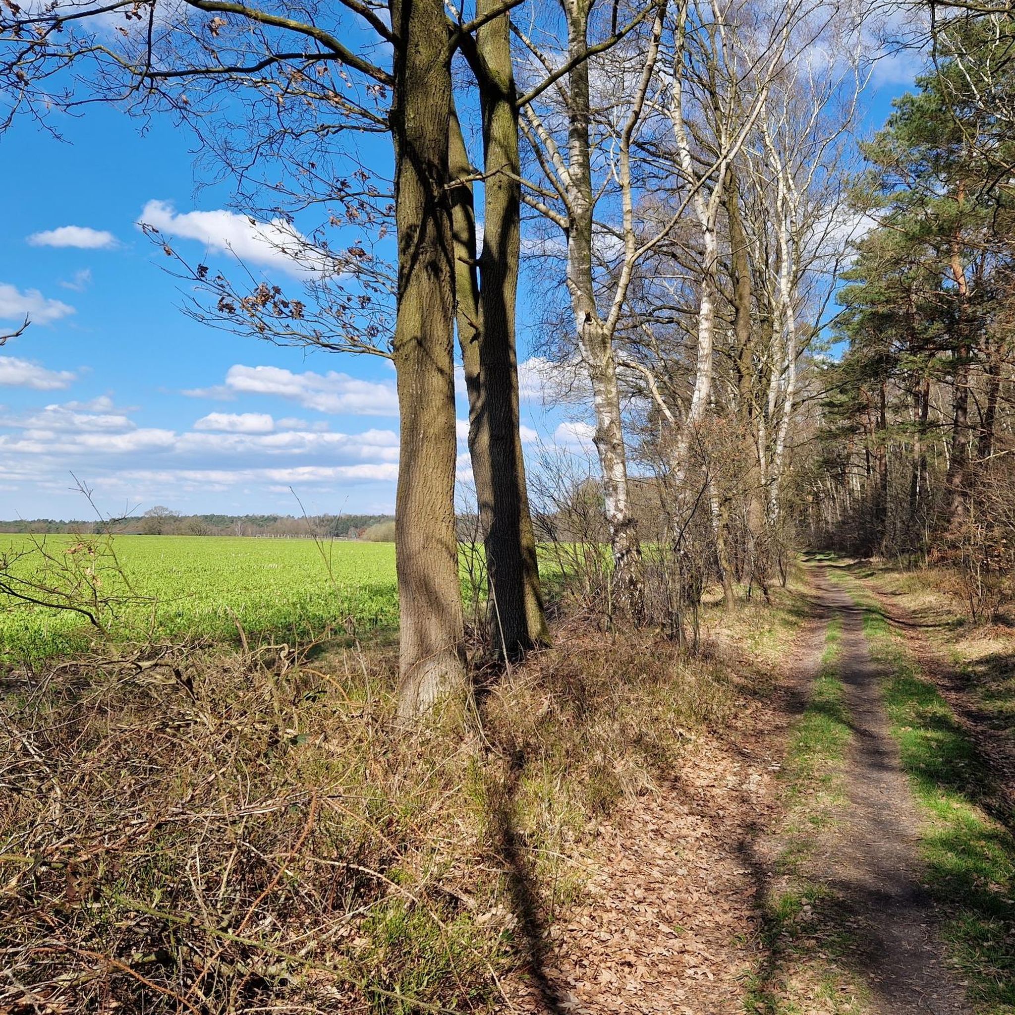
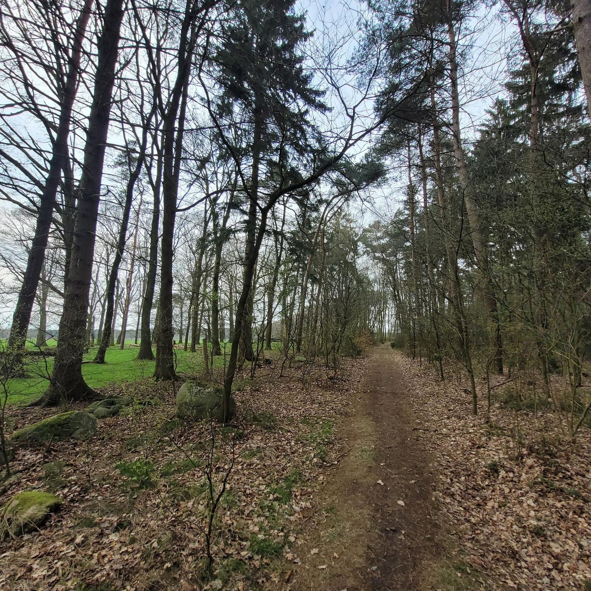
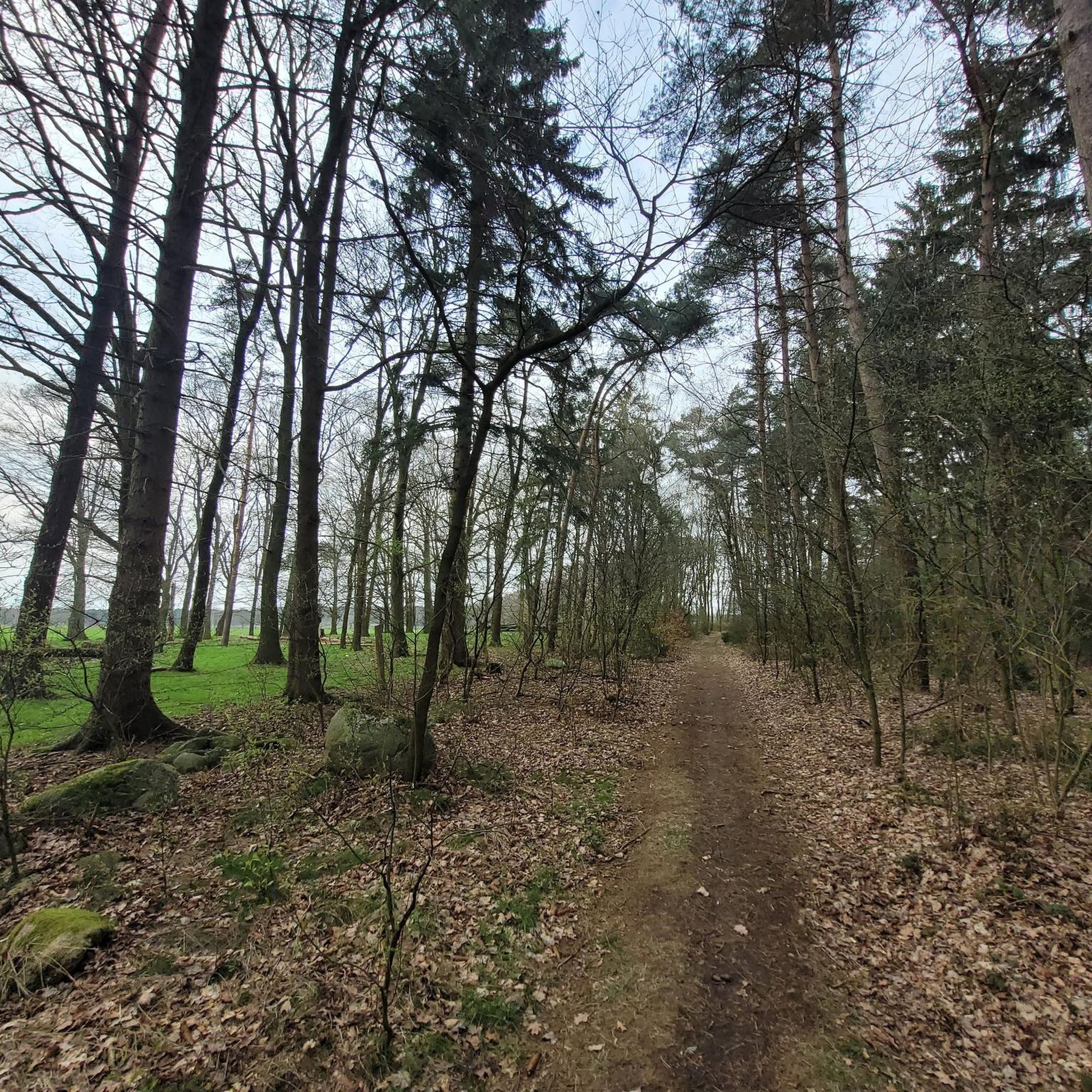
Hiking around Ostereistedt offers opportunities to explore the rural landscapes of Lower Saxony, Germany. The region is characterized by gentle terrain, with minimal elevation changes, making it suitable for accessible outdoor activities. Local pathways often follow water features, such as the Oste river, and pass by historical structures like the Bademühlen Watermill. The natural features of Ostereistedt provide a tranquil setting for walking and experiencing the local scenery.
Best hiking trails around Ostereistedt
- The most popular hiking route is NORDPFAD…
Last updated: July 1, 2026
4.8
(296)
870
hikers
10.5km
02:39
20m
20m
Moderate hike. Good fitness required. Easily-accessible paths. Suitable for all skill levels.
4.8
(298)
842
hikers
11.8km
03:03
50m
50m
Moderate hike. Good fitness required. Easily-accessible paths. Suitable for all skill levels.

Sign up for free
4.7
(37)
113
hikers
7.10km
01:51
50m
50m
Easy hike. Great for any fitness level. Easily-accessible paths. Suitable for all skill levels.
4.9
(13)
61
hikers
6.85km
01:45
20m
20m
Easy hike. Great for any fitness level. Easily-accessible paths. Suitable for all skill levels.
4.8
(12)
44
hikers
12.7km
03:15
50m
50m
Moderate hike. Good fitness required. Easily-accessible paths. Suitable for all skill levels.
Get access to more routes and recommendations from other explorers.
Sign up for free
Already have an account?
Our route recommendations are based on thousands of hikes, rides, and runs completed by other people on komoot.
Start today with a free account
Your next adventure awaits.
Login or Signup
Tips from the Community

In the mid-19th century, classes in Godenstedt were held alternately in the homes of local farmers, with the teacher being hosted and fed at each farm on a rotating basis. The first schoolhouse, complete with stable and barn, was built in 1858. When the Godenstedt district was divided, a small agricultural plot of approximately 15 hectares had already been established for the school, intended to contribute to the teacher's livelihood. The schoolhouse was expanded several times. In 1967, the Godenstedt school was closed. The schoolhouse was exchanged for property and given to Johann Angelus Müller, who used it as storage space for his stable. In 1983, it was sold and converted back into a private residence. (Source: Das Schild - 800 Jahre Godenstedt).
2
0
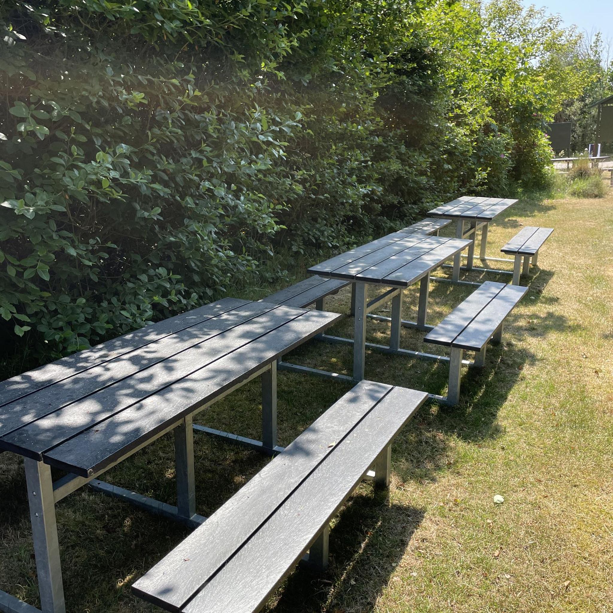
A haven of relaxation. A small lake/pond that invites you to enjoy the peace and quiet, complete with a small shelter and benches/chairs. Very pristine and natural.
1
0
An ideal shelter for protection or for a break, snack, or simply to get some fresh air while enjoying the view of the pond.
2
0
At the instigation of Selsingen pastor Walter Meyer, a collection was taken up in the village in 1952 for new church bells in Selsingen, as the old bells had been removed during the war and melted down for the production of grenades and other armaments. The collection was successful, so that part of it could be used to purchase a new village bell. The dedication took place on Sunday, September 28, 1952, at 3 p.m. Until the 1990s, the bell was rung by pulling a bell rope by hand. Today, a timer controls the electric drive of the bell, which rings every evening at 6 p.m. (Source: Sign commemorating 800 years of Godenstedt).
2
0
In the heart of Godenstedt, a miller, whose surname is also Müller, operates an oil mill. It can be visited upon request. (Source: https://www.nordwaerts.de/aktiv-entspannt/tour/nordpfad-zwei-muehlen-100258947/)
3
0

The Ostetal North Trail starts and ends here. All information about the hiking trail can be found at the following link: https://www.nordwaerts.de/aktiv-entspannt/tour/nordpfad-ostetal-100258944/ (as of July 19, 2025).
0
1
The Ostetal North Trail also runs along this route. All information about the trail can be found at the following link: https://www.nordwaerts.de/aktiv-entspannt/tour/nordpfad-ostetal-100258944/ (as of July 19, 2025).
0
1
The Ostetal North Trail also runs along this route. All information about the trail can be found at the following link: https://www.nordwaerts.de/aktiv-entspannt/tour/nordpfad-ostetal-100258944/ (as of July 19, 2025).
0
1
Frequently Asked Questions
What kind of terrain can I expect on hikes around Ostereistedt?
Hiking around Ostereistedt primarily features gentle, rural landscapes with minimal elevation changes. You'll find pathways that often follow water features like the Oste river and pass by historical structures. The routes are generally suitable for easy to moderate ability levels.
How many hiking routes are there in Ostereistedt?
There are over 600 hiking routes available around Ostereistedt. The majority of these, nearly 450, are classified as easy, with another 177 routes considered moderate, making the area very accessible for various fitness levels.
Are there any family-friendly hiking options in Ostereistedt?
Yes, Ostereistedt is well-suited for family hikes due to its gentle terrain and numerous easy routes. Many paths are designed to be accessible, offering a pleasant outdoor experience for all ages. For example, the Mergelkuhle Pond – Zwei Mühlen Weg Pond loop from Eitzmühlen is an easy 4.4-mile (7.1 km) trail that leads through rural landscapes and past local ponds, perfect for a family outing.
Can I bring my dog on the hiking trails in Ostereistedt?
Most rural trails in Ostereistedt are dog-friendly, offering plenty of open spaces and natural environments for your canine companion. However, it's always recommended to keep dogs on a leash, especially near livestock or in nature protection areas, and to respect local signage.
What natural features or landmarks can I see while hiking in Ostereistedt?
Ostereistedt's hiking trails often lead along the Oste river and past historical structures. Notable landmarks include the historic Bademühlen Watermill and the Wooden bridge over the Oste near Offensen. You might also encounter various ponds and rural landscapes. The NORDPFAD Zwei Mühlen (two mills) route specifically highlights the Bademühlen Watermill.
Are there any circular hiking routes in Ostereistedt?
Yes, Ostereistedt offers several circular hiking routes. These loops are great for exploring the area without retracing your steps. An example is the Ostetal – Oste Bridge Granstedt loop from Granstedt, an easy 4.25-mile (6.8 km) trail that takes you along the Oste river and past the Oste Bridge Granstedt.
What is the best time of year to go hiking in Ostereistedt?
The gentle terrain of Ostereistedt makes it suitable for hiking throughout much of the year. Spring and autumn offer pleasant temperatures and beautiful scenery, while summer is ideal for enjoying the lush green landscapes. Even in winter, many trails remain accessible for a refreshing walk, though conditions may vary.
Where can I find parking for hiking trails in Ostereistedt?
Specific parking information varies by trailhead. Generally, in rural areas like Ostereistedt, you can often find designated parking areas near popular trailheads or in village centers. It's advisable to check the individual route details on komoot for precise parking recommendations for your chosen hike.
Are there places to eat or get refreshments near the hiking trails?
While Ostereistedt is a rural area, you can find options for refreshments. The Ice cream parlor & specialty coffees Milchkontor Wilstedt is a nearby option for a treat. For more substantial meals, you might need to venture into the main village or nearby towns.
What do other hikers say about the trails in Ostereistedt?
The hiking routes in Ostereistedt are highly regarded by the komoot community, holding an average rating of 4.6 stars from over 2,400 reviews. Hikers often praise the tranquil rural pathways, the scenic river valleys, and the charm of historical watermills, highlighting the area as a peaceful escape.
Are there any longer, moderate hikes available in Ostereistedt?
Yes, for those looking for a slightly longer and more challenging experience, Ostereistedt offers moderate routes. The NORDPFAD Ostetal is a popular moderate trail, spanning 6.5 miles (10.5 km) and following the scenic Oste river, typically taking about 2 hours 40 minutes to complete.
Most popular routes around Ostereistedt
Most popular attractions around Ostereistedt

Get inspired with the komoot mobile app


Explore more
Browse the best Hikes in other regions.
