The best running trails around Ostereistedt
4.4
(120)
1,719
runners
185
runs
Jogging routes around Ostereistedt traverse a landscape characterized by agricultural lands and its position on the watershed between the Weser and Elbe rivers. The region offers diverse environments, including open fields, rural paths, and areas near the unique Huvenhoopsmoor raised bog. Many routes feature predominantly paved paths, providing accessible options for various fitness levels.
Best jogging routes around Ostereistedt
- The most popular jogging route is Running loop from Ostereistedt, a 4.6 miles (7.4 km) trail that takes 46 minutes…
Last updated: October 4, 2026
9
runners
7.42km
00:46
20m
20m
Moderate run. Good fitness required. Mostly paved surfaces. Suitable for all skill levels.
7
runners
6.72km
00:43
10m
10m
Moderate run. Good fitness required. Mostly paved surfaces. Suitable for all skill levels.

5
runners
7.95km
00:51
40m
40m
Moderate run. Good fitness required. Mostly paved surfaces. Suitable for all skill levels.
4
runners
5.32km
00:36
0m
0m
Moderate run. Good fitness required. Mostly paved surfaces. Suitable for all skill levels.
3
runners
Moderate run. Good fitness required. Mostly paved surfaces. Suitable for all skill levels.
Get access to more routes and recommendations from other explorers.
Already have an account?
Our route recommendations are based on thousands of hikes, rides, and runs completed by other people on komoot.
Start today with a free account
Your next adventure awaits.
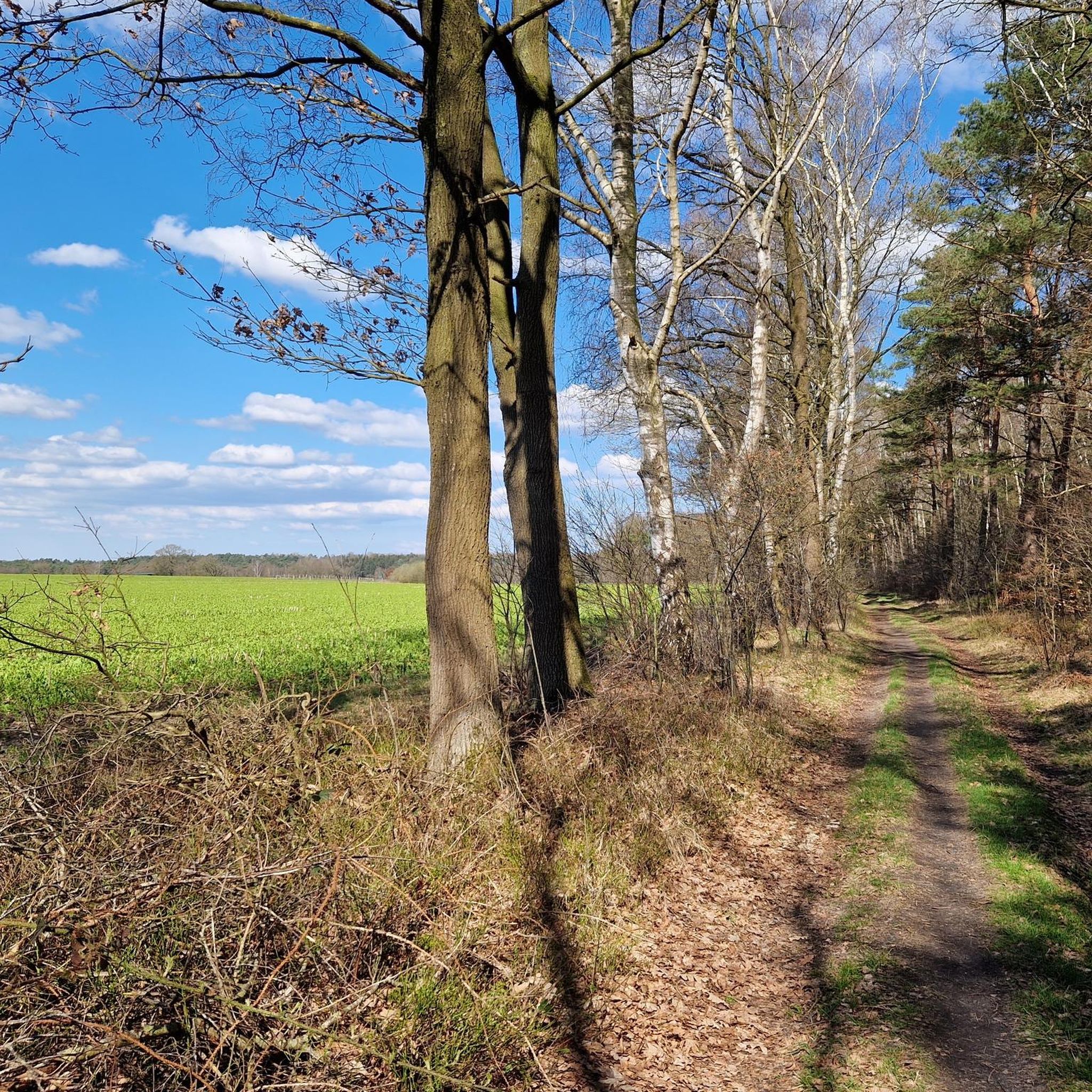
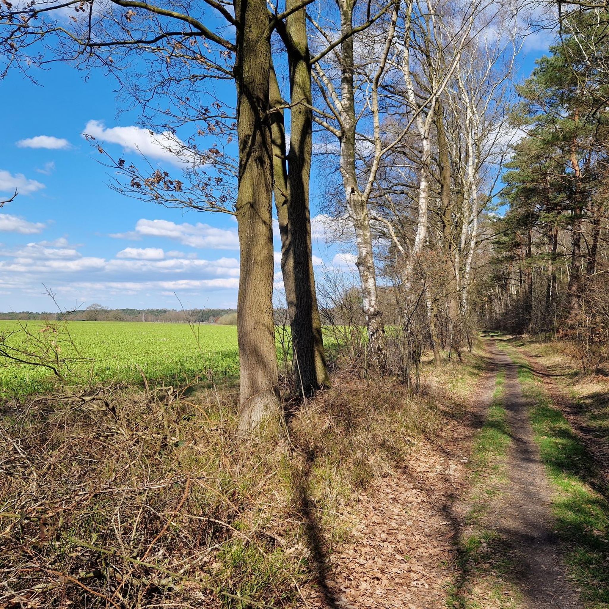
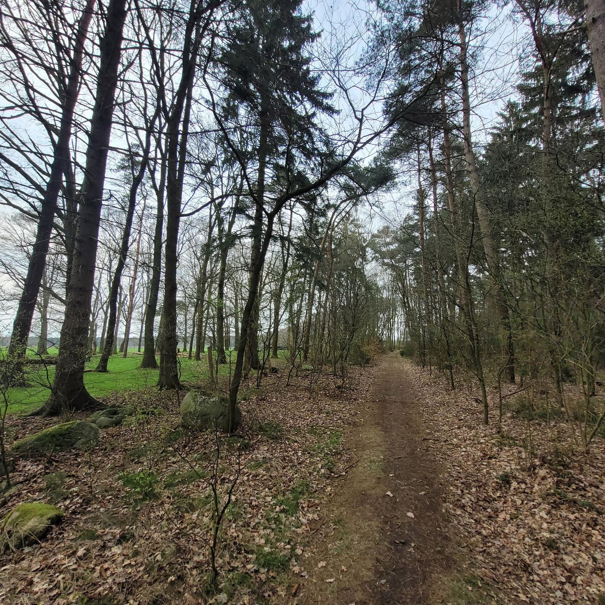
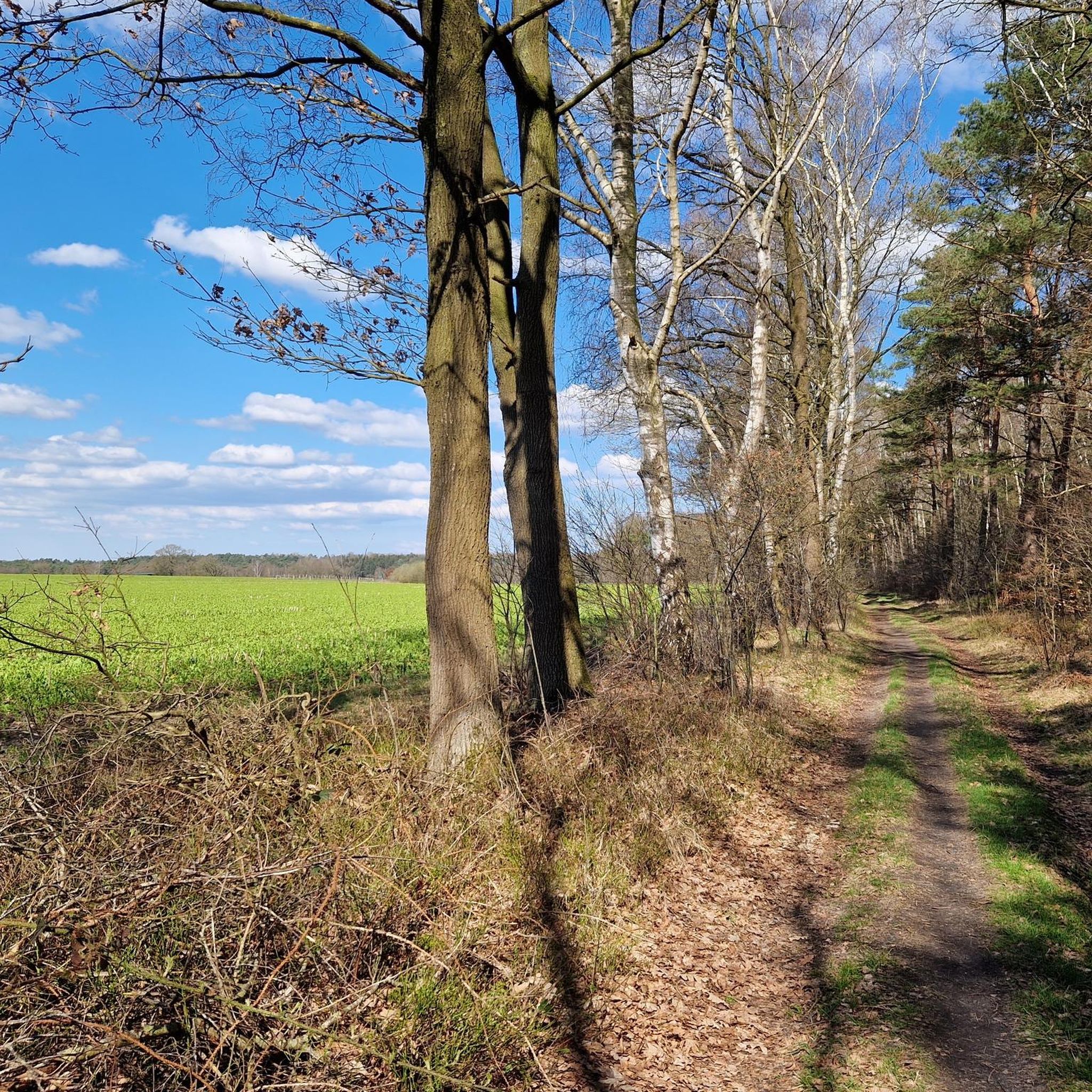
Tips from the Community

The secret path is not entirely identical to the Komoot map, but still very nice for a walk!
0
0

The bell tower in Glinstedt is the official starting point of the Huvenhoopsmoor North Trail. There is also a large rest area here.
0
0

The long jump is part of the beautiful nature trail.
3
0
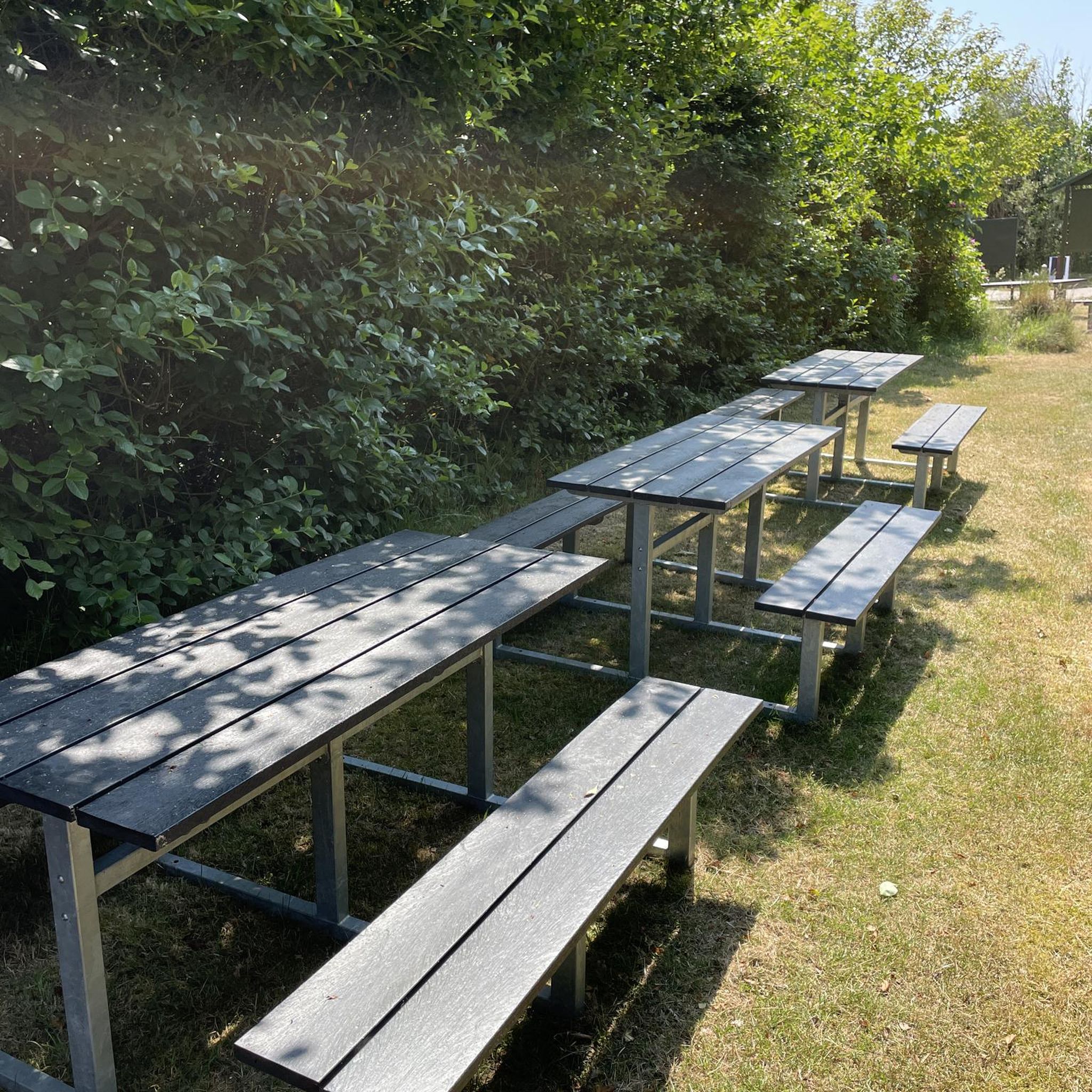
Great forest playground with nature trail and lots of great picnic spots.
3
0

Great and, above all, spacious playground, where you can still find play equipment in the adjacent forest.
2
0

I have nothing more to add to Nils' remarks on the "Großes Holz" adventure playground. They say everything. Of course now at the end of November there are hardly any people on site. There is a lot of activity here in the summer months. The adventure playground is very well received by adults with children from many surrounding cities.
1
0

a great forest playground in the forest area "Großes Holz". Parking is nearby. There are also refuges, which is not uninteresting for us hikers.
3
0
The north path Huvenhoopsmoor starts here. Free parking spaces are available. There is a great rest area with loungers.
0
0
Frequently Asked Questions
How many running routes are available in and around Ostereistedt?
There are over 200 running routes in the Ostereistedt region, offering a wide variety of options for different preferences and fitness levels.
What kind of terrain can I expect on the jogging trails near Ostereistedt?
The jogging routes around Ostereistedt are characterized by agricultural lands, open fields, and rural paths. Many routes feature predominantly paved paths, making them accessible. You'll also find areas near the unique Huvenhoopsmoor raised bog, offering a diverse natural environment.
Are there running routes suitable for beginners in Ostereistedt?
Yes, Ostereistedt offers 16 easy running routes, perfect for beginners or those looking for a more relaxed pace. The overall terrain is generally gentle, with low elevation gains on many paths.
Can I find circular running routes in Ostereistedt?
Absolutely. Many of the running paths in Ostereistedt are designed as loops, allowing you to start and finish at the same point. For example, the popular Running loop from Ostereistedt is a 4.6-mile (7.4 km) circular trail.
What unique natural features can I explore while running in Ostereistedt?
A significant natural attraction is the Huvenhoopsmoor, a unique raised bog. While the core moor is protected, you can experience this special landscape from educational paths and observation stands. This area is also a crucial resting spot for thousands of cranes during migration, offering a spectacular natural sight.
Are there any historical or natural landmarks along the running paths?
Yes, the region offers several interesting points. You might encounter megalithic tombs like the Megalithic Tomb Steinfeld 2 or the Eichholz Dolmen. There are also natural spots like Mergelkuhle Pond and the Hemelsmoor Nature Reserve to discover.
What do other runners enjoy most about jogging in Ostereistedt?
The running routes in Ostereistedt are highly rated by the komoot community, with an average score of 4.3 stars from over 80 reviews. Runners often praise the tranquil setting, the varied terrain from open fields to rural paths, and the accessibility of the predominantly paved routes.
Are the running routes in Ostereistedt suitable for families?
Many routes in Ostereistedt, particularly the easier and moderate ones with predominantly paved paths and gentle elevation, are well-suited for families. The open fields and rural settings provide a safe and pleasant environment for outdoor activity.
Can I bring my dog on the running trails in Ostereistedt?
Generally, dogs are welcome on many of the outdoor trails in Ostereistedt. However, it's always advisable to keep dogs on a leash, especially in agricultural areas or near nature reserves like the Huvenhoopsmoor, to protect wildlife and respect local regulations.
Is there public transport access to the running routes in Ostereistedt?
Ostereistedt is a rural municipality. While specific public transport links directly to trailheads might be limited, local bus services connect Ostereistedt to nearby towns. Planning your route in advance and checking local transport schedules is recommended.
Are there any longer running options for experienced runners?
Yes, for those seeking longer distances, routes like Glinstedt Bell Tower – St. Gallus loop from Rhade offer a moderate 8.3-mile (13.4 km) run. The region has 23 difficult routes and 162 moderate routes, providing plenty of options for more experienced runners.
What is the best season for running in Ostereistedt?
Ostereistedt offers pleasant running conditions throughout much of the year. Spring and autumn are particularly beautiful, with mild temperatures and the chance to observe migrating cranes at Huvenhoopsmoor. Summer provides longer daylight hours, while winter runs can be crisp and refreshing, though some paths might be affected by weather.
Most popular routes around Ostereistedt
Most popular attractions around Ostereistedt

Get inspired with the komoot mobile app


Explore more
Browse the best Running Trails & Routes in other regions.
