The best walks and hikes around Parco Nazionale del Gran Sasso e Monti della Laga
4.4
(6937)
37,933
hikers
529
hikes
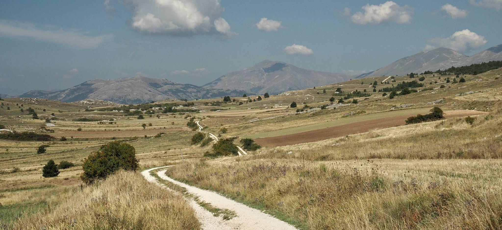
Hiking trails around Parco Nazionale del Gran Sasso e Monti della Laga traverse diverse landscapes, from the high Apennine peaks to forested valleys. The region is characterized by dramatic limestone formations, extensive alpine grasslands like Campo Imperatore, and the water-rich Monti della Laga with its numerous waterfalls and dense forests. Peaks such as Corno Grande, the highest in the Apennines, offer significant elevation gains and panoramic views.
Best hiking trails around Parco Nazionale del Gran Sasso e Monti della Laga
…Last updated: September 26, 2026
4.7
(254)
1,696
hikers
9.89km
05:26
800m
800m
Embark on a difficult hike to Corno Grande (Gran Sasso) from Campo Imperatore, covering 6.1 miles (9.9 km) with a significant elevation gain of 2617 feet (798 metres). This challenging…
4.7
(146)
872
hikers
The "Climb Monte Camicia from rifugio Fonte Vetica" is a difficult ring tour, stretching 5.7 miles (9.2 km) with a significant 3005 feet (916 metres) of elevation gain, typically taking…

4.8
(142)
751
hikers
6.07km
02:33
340m
340m
Embark on a challenging 3.8-mile (6.1 km) hike to Monte Aquila from Campo Imperatore, gaining 1099 feet (335 metres) in about 2 hours and 33 minutes. The trail begins on…
4.7
(86)
326
hikers
8.68km
03:16
450m
440m
Embark on the Valley of the Hundred Waterfalls Loop from Cesacastina, a moderate hike that takes you through lush beech forests and past meadows vibrant with wildflowers in spring. This…
4.6
(67)
378
hikers
9.54km
04:18
550m
550m
Embark on a difficult high-mountain adventure with the Pizzo Cefalone Loop from Campo Imperatore. This hike covers 5.9 miles (9.5 km) and involves a significant elevation gain of 1807 feet…
Get access to more routes and recommendations from other explorers.
Already have an account?
Our route recommendations are based on thousands of hikes, rides, and runs completed by other people on komoot.
Start today with a free account
Your next adventure awaits.
Popular around Parco Nazionale del Gran Sasso e Monti della Laga
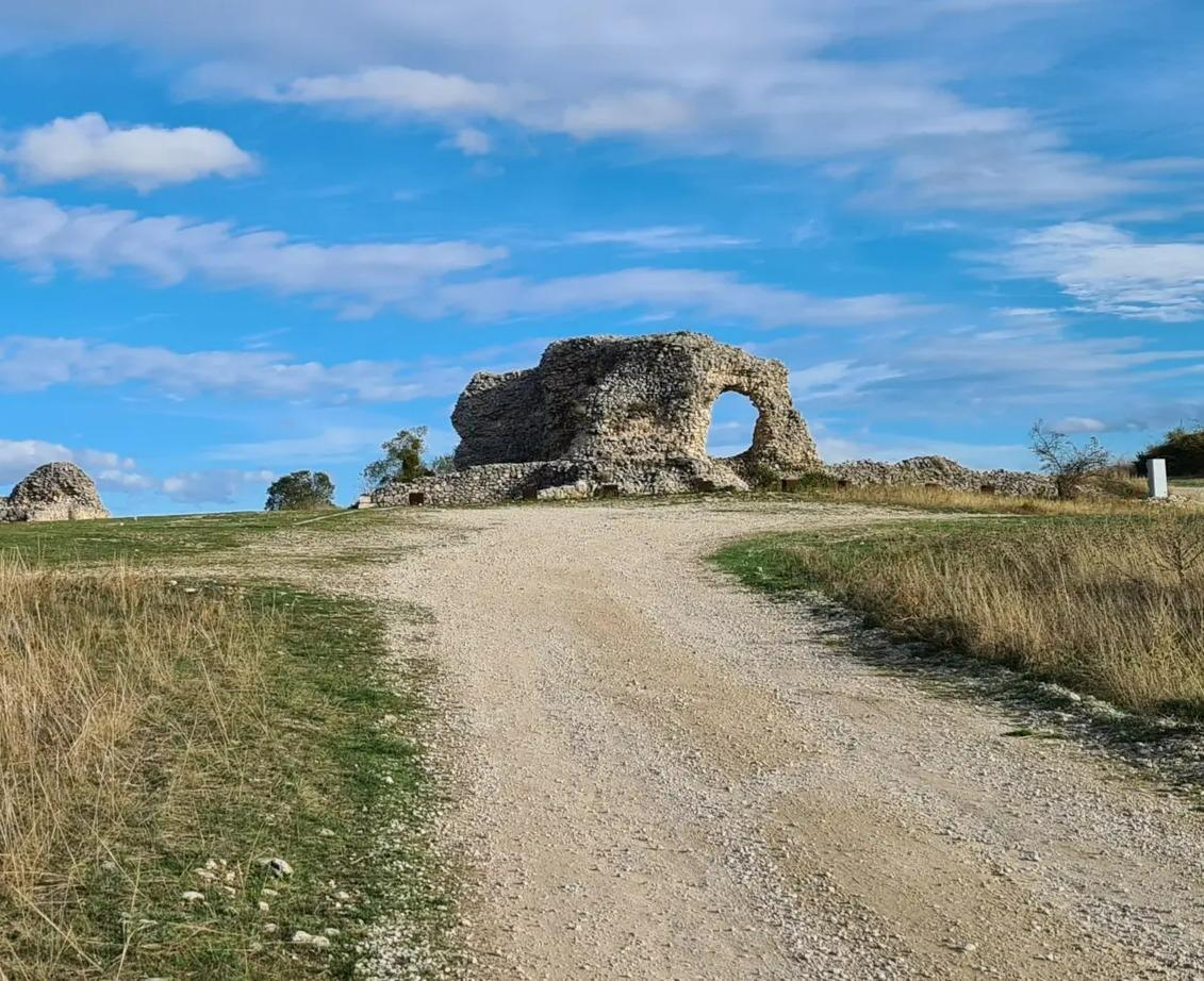
Tratturo Magno – On the roads of transhumance
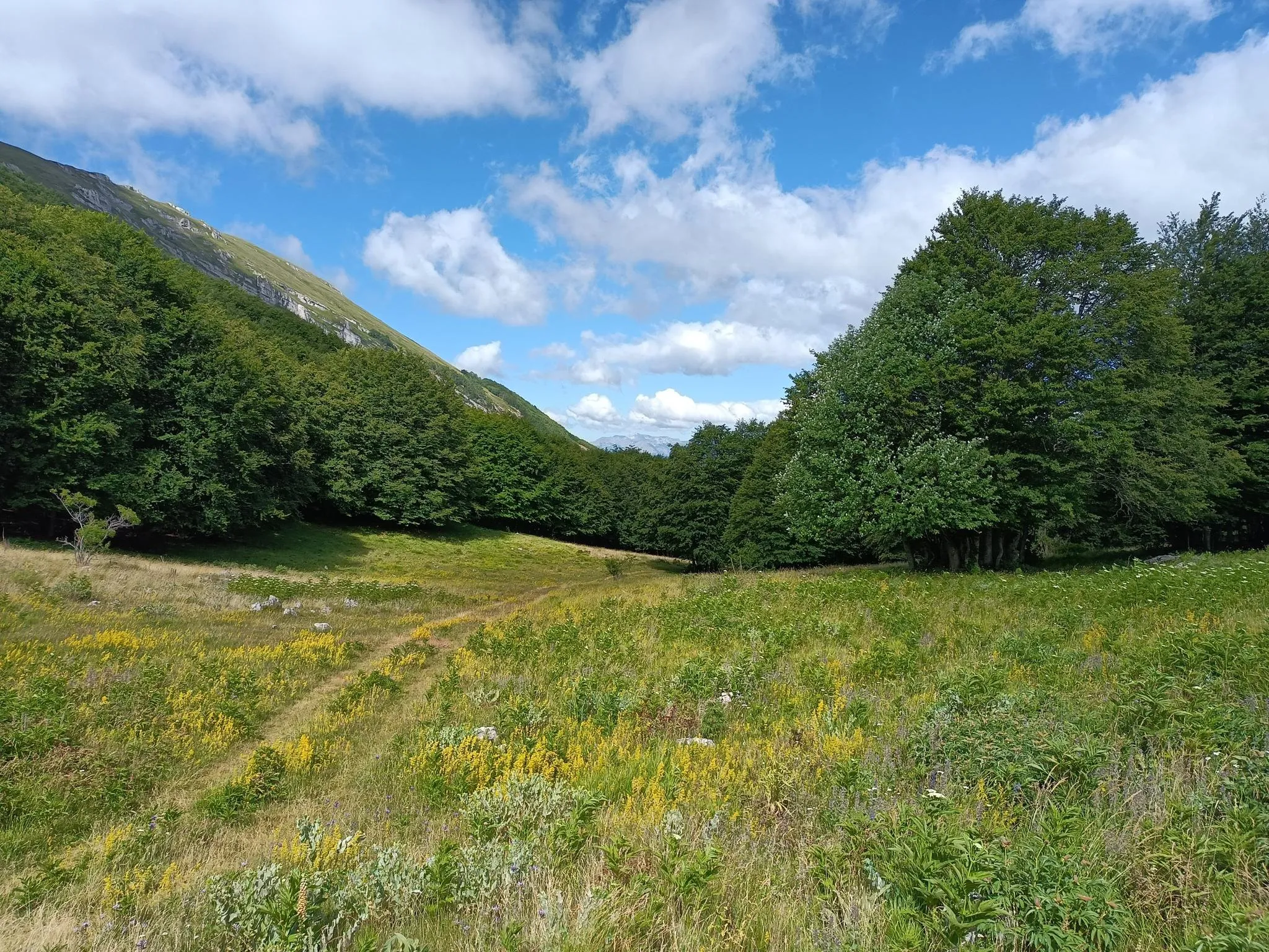
Natural Park Walk – part 4 from Accumoli to L'Aquila
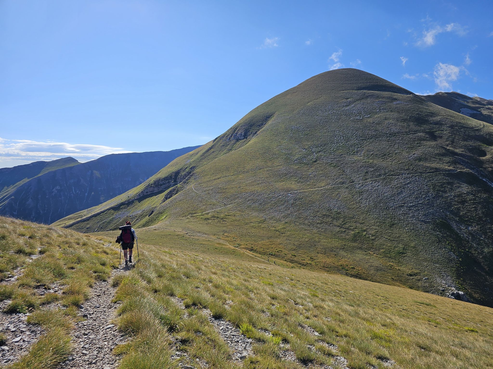
The Sibillini Mountains to Gran Sasso – the Great Apennine Crossing
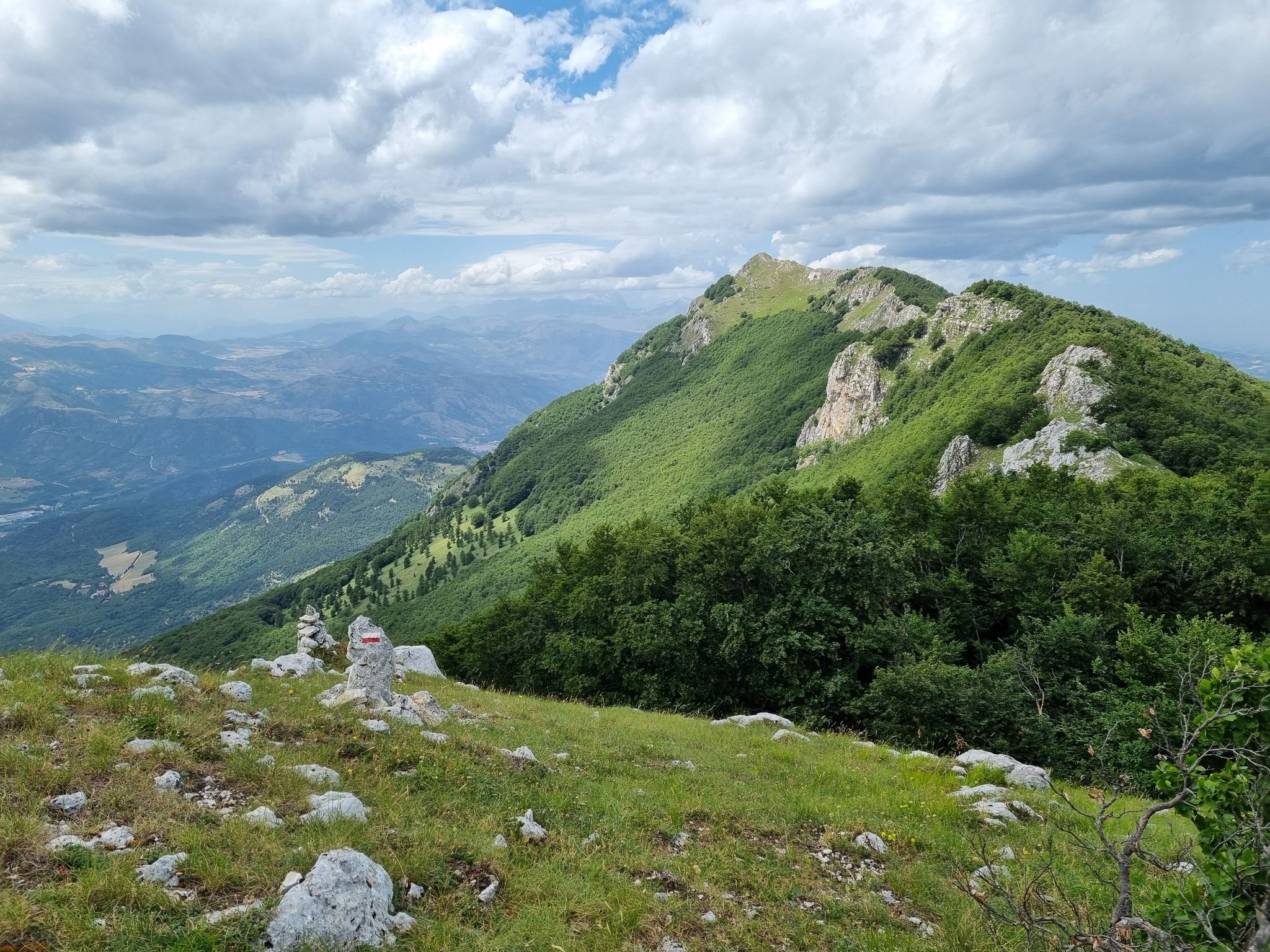
Through the green lungs of Abruzzo – Sentiero Italia
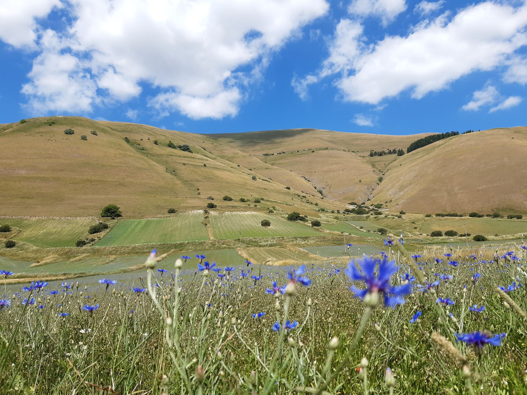
A journey through changed lands – Cammino nelle Terre Mutate
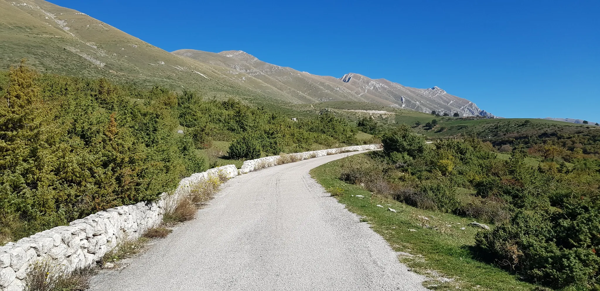
The Apennine Cycleway (Part 2) - From Umbria to Calabria

Interiora - A Journey into the Remote Areas of Italy
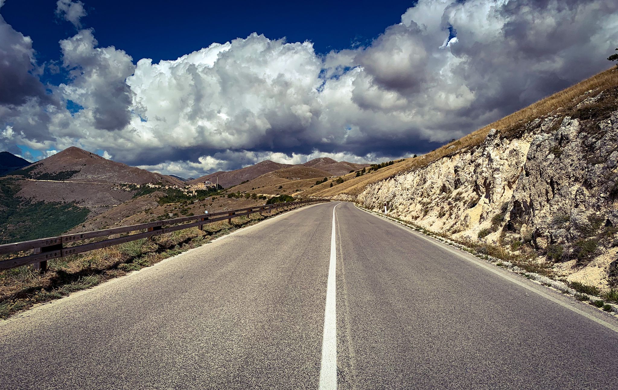
The Apennines to the Adriatic – cycling to discover Abruzzo
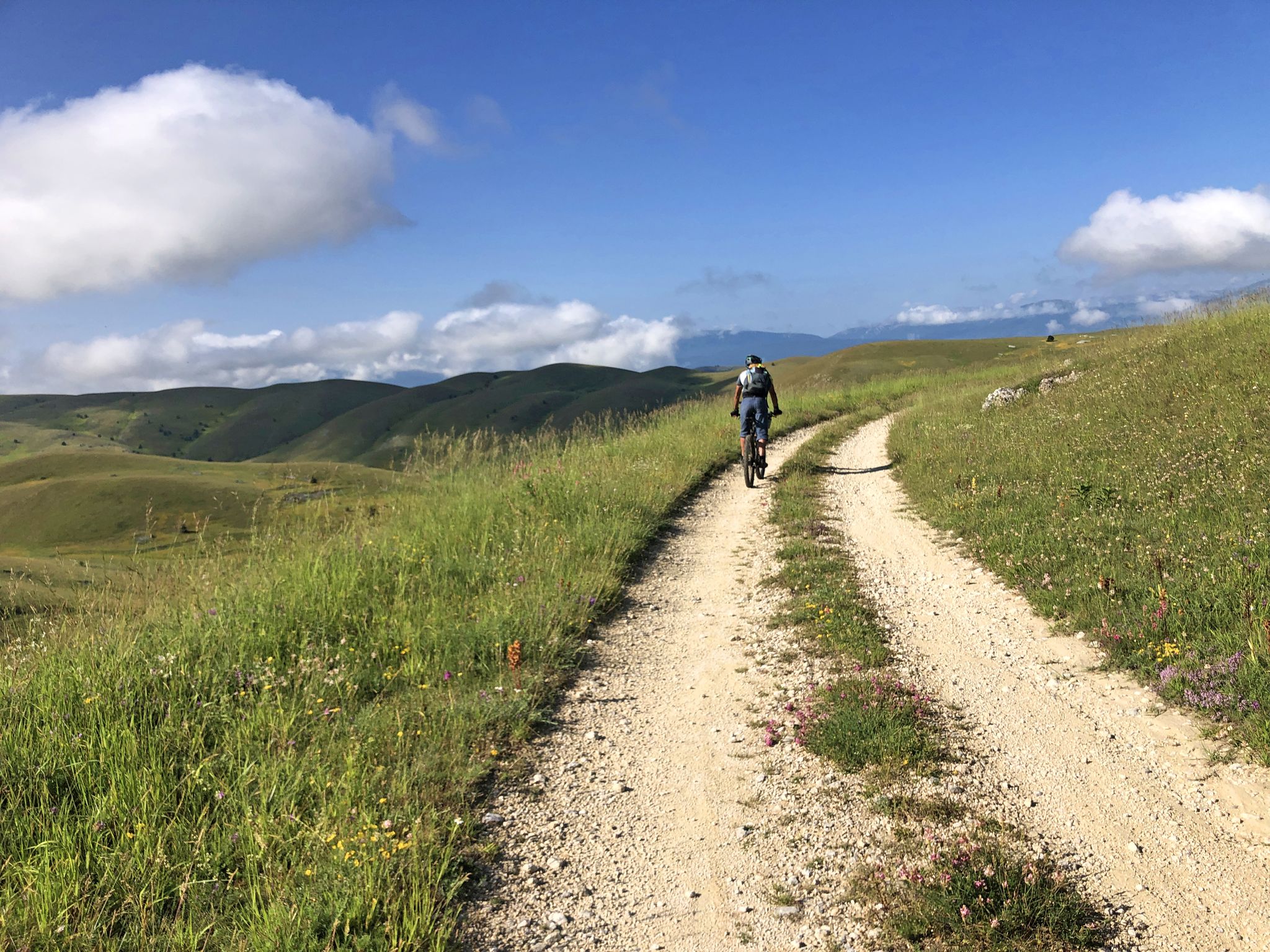
The Adriatic Sea to Gran Sasso – MAGS Abruzzo Trail 2023
Bikepacking the Wolf's Lair – through Abruzzo in southern Italy
Other adventures around Parco Nazionale del Gran Sasso e Monti della Laga


Tips from the Community

The panoramas once you climb from Campo Imperatore are all majestic
0
0
The night sky from up there enchants and calms the soul.
1
0
The younger brother, equally enchanting.
0
0

Campo Imperatore is an absolute must-see due to its otherworldly, vast mountain landscape, also known as 'Little Tibet' (Piccolo Tibet). It is one of the largest and highest plateaus in Europe (located at approx. 1,800 to 2,100 meters).
4
0
Rifugio Fonte Vetica is currently closed because the main building (the hotel-restaurant) was completely destroyed by a fierce, raging fire on the night of September 1st to 2nd, 2021. Since then, the catering and hotel facilities at that specific location have been unusable.
5
0
The Abruzzo Astronomical Observatory on Campo Imperatore, officially the Stazione Osservativa di Campo Imperatore, is one of Italy's most special observatories, located at an altitude of 2,150 meters. Since its opening in 1965, astronomers here have benefited from exceptionally clear nights. Thanks to a natural phenomenon, thermal inversion, clouds and artificial light often remain trapped in the valleys, making the night sky above the plateau remarkably dark and clear. Historical tidbit: one of the observatory's most important telescopes has a remarkable history. The AZT-24 infrared telescope was originally intended as a gift from Adolf Hitler to Benito Mussolini during World War II and was known as the "Mussolini telescope." However, due to the fall of the fascist regime, the telescope was never delivered. After the war, the instrument was taken by the Soviet Union to the Pulkovo Observatory. It wasn't until after the end of the Cold War that the telescope returned to Italy, where it finally found a permanent home on Campo Imperatore in 1997. The observatory also played an important role in modern astronomy. Between 2001 and 2004, during the CINEOS project, scientists discovered more than 1,500 new asteroids, including several so-called Near-Earth Objects that approach Earth's orbit. Thus, Campo Imperatore is not only one of the most beautiful places to stargaze but also a location that makes a significant contribution to the research of our solar system and the monitoring of potential space risks.
6
0
OPENING HOURS, always useful to know before you go up! Rifugio Duca degli Abruzzi is open daily for the summer season. The opening hours and seasons are arranged as follows: summer season (continuously open) Period: From June 15 to the end of September, the mountain hut is open non-stop every day. Daytime (kitchen/bar): You can usually go there from approx. 08:30 to 17:00 for drinks, snacks, and lunch. Overnight stay: If you have booked an overnight stay in advance, you can join for dinner in the evening. Autumn, Winter & Spring (limited opening) Period: from October to May. Days: The hut is then in principle only open on weekends (Friday evening to Sunday afternoon), provided the weather and snow conditions allow it safely. Closure: the hut often closes completely in the month of November due to the start of the heavy winter snowfall. Important to know: because the mountain hut is located at an altitude of almost 2400 meters, the opening hours are always dependent on the weather. In case of heavy storms, dense fog, or sudden snowfall, the hut may remain unexpectedly closed. Do you want to be sure whether the manager is present or do you want to book a place to sleep? Check the current status via the official CAI Booking Platform or contact the managers directly via +39 388 186 7703.
7
0
Rifugio Duca degli Abruzzi is located at an altitude of 2,388 meters on Monte Portella and is one of the most beautiful viewpoints in the Gran Sasso massif. The mountain hut, built in 1908 by the Italian Alpine Club (CAI), is named after the famous explorer and mountaineer Luigi Amedeo of Savoy. From the terrace, you can enjoy a spectacular 360° panorama over the Campo Imperatore plateau, the imposing Corno Grande – the highest peak in the Apennines at 2,912 meters – and the rugged Val Maone. The relatively short hike to the hut immediately offers a real high-mountain feeling and is an ideal stopover for lunch or an espresso, but also serves as a starting point for more challenging climbs. Historical fact: just below the mountain hut lies the Hotel Campo Imperatore, where Benito Mussolini was held captive in 1943. From this area, he looked out over the endless peaks of the Apennines until he was freed by a glider during the spectacular German rescue operation, Operation Oak. This combination of impressive nature, mountaineering history, and a remarkable chapter from World War II makes a visit to Rifugio Duca degli Abruzzi extra memorable.
8
0
Frequently Asked Questions
How many hiking trails are available in Parco Nazionale del Gran Sasso e Monti della Laga?
There are over 480 hiking trails in Parco Nazionale del Gran Sasso e Monti della Laga. These include a wide range of options, with approximately 78 easy routes, 223 moderate routes, and 184 difficult routes, ensuring choices for all skill levels.
What kind of terrain and difficulty can I expect when hiking in this park?
The park offers diverse terrain, from the dramatic limestone formations and high alpine grasslands of the Gran Sasso massif to the dense forests and water-rich valleys of Monti della Laga. You'll find everything from leisurely walks to challenging ascents requiring good fitness and alpine experience. For instance, routes like Corno Grande (Gran Sasso) from Campo Imperatore are considered difficult, while many moderate and easy options are also available.
Are there any family-friendly hiking trails in Parco Nazionale del Gran Sasso e Monti della Laga?
Yes, the park offers numerous family-friendly trails, particularly in areas with gentler slopes and well-maintained paths. While specific routes are not listed here, you can find many easy and moderate options that are suitable for families looking for less strenuous walks amidst nature.
Can I bring my dog on the hiking trails in Parco Nazionale del Gran Sasso e Monti della Laga?
Generally, dogs are permitted on many trails within the park, but it's crucial to keep them on a leash, especially in areas with wildlife or grazing animals. Specific regulations may apply to certain protected zones or during particular seasons, so always check local signage or park authority guidelines before heading out.
Are there any hikes that feature waterfalls in the park?
Yes, the Monti della Laga section of the park is particularly known for its abundant water features, including numerous waterfalls. A notable route is the Valley of the Hundred Waterfalls Loop from Cesacastina. You can also explore specific highlights like the Morricana Waterfall or the Prata Waterfalls.
What are some notable landmarks or viewpoints I can reach on a hike?
The park is rich in stunning landmarks and viewpoints. The vast Campo Imperatore Plateau offers expansive views and serves as a starting point for many trails to peaks like Corno Grande and Monte Aquila. Other significant points include various mountain passes such as Capo la Serra Pass and Maccione Pass, providing breathtaking panoramas.
Are there any circular hiking routes available?
Yes, the park features several excellent circular hiking routes. An example is the challenging Climb Monte Camicia from rifugio Fonte Vetica – ring tour, which offers significant elevation gain and views. Another option is the Pizzo Cefalone Loop from Campo Imperatore.
What is the best time of year to go hiking in Parco Nazionale del Gran Sasso e Monti della Laga?
The best time for hiking generally spans from late spring to early autumn (May to October). During these months, the weather is typically more stable, and trails are clear of snow, especially at higher altitudes. Summer offers warmer temperatures, while spring and autumn provide vibrant flora and foliage. Winter hiking is possible but requires specific equipment and experience due to snow and ice.
What do other hikers enjoy most about hiking in Parco Nazionale del Gran Sasso e Monti della Laga?
The area is highly rated by the komoot community, with an average score of 4.5 stars from over 4000 reviews. Hikers frequently praise the dramatic and diverse landscapes, from the high Apennine peaks and vast alpine plateaus like Campo Imperatore to the serene forested valleys and numerous waterfalls in Monti della Laga. The variety of trails catering to different abilities is also a highlight.
Is public transport available to access hiking trailheads in the park?
While some areas of the park, particularly popular access points like Campo Imperatore, may have limited seasonal bus services, public transport options are generally sparse. For most trailheads, especially in more remote areas, a private vehicle is recommended for convenient access. Always check local transport schedules in advance if planning to rely on public options.
Are there any cultural or historical sites to explore near the hiking trails?
Beyond its natural beauty, the park region is dotted with ancient villages, archaeological sites, and historical structures. Notable attractions include the impressive Rocca Calascio castle, perched on a ridge, and the spectacular Stiffe Caves. These sites offer excellent opportunities to combine your hiking adventures with cultural exploration.
Most popular routes around Parco Nazionale del Gran Sasso e Monti della Laga
Most popular attractions around Parco Nazionale del Gran Sasso e Monti della Laga

Get inspired with the komoot mobile app


Explore more
Browse the best Hikes in other regions.
