The best walks and hikes in the Parahyangan Highlands
4.8
(70)
1,339
hikers
53
hikes
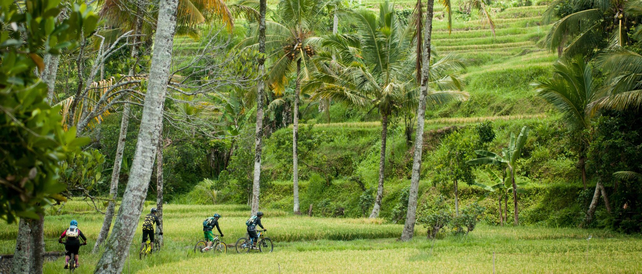
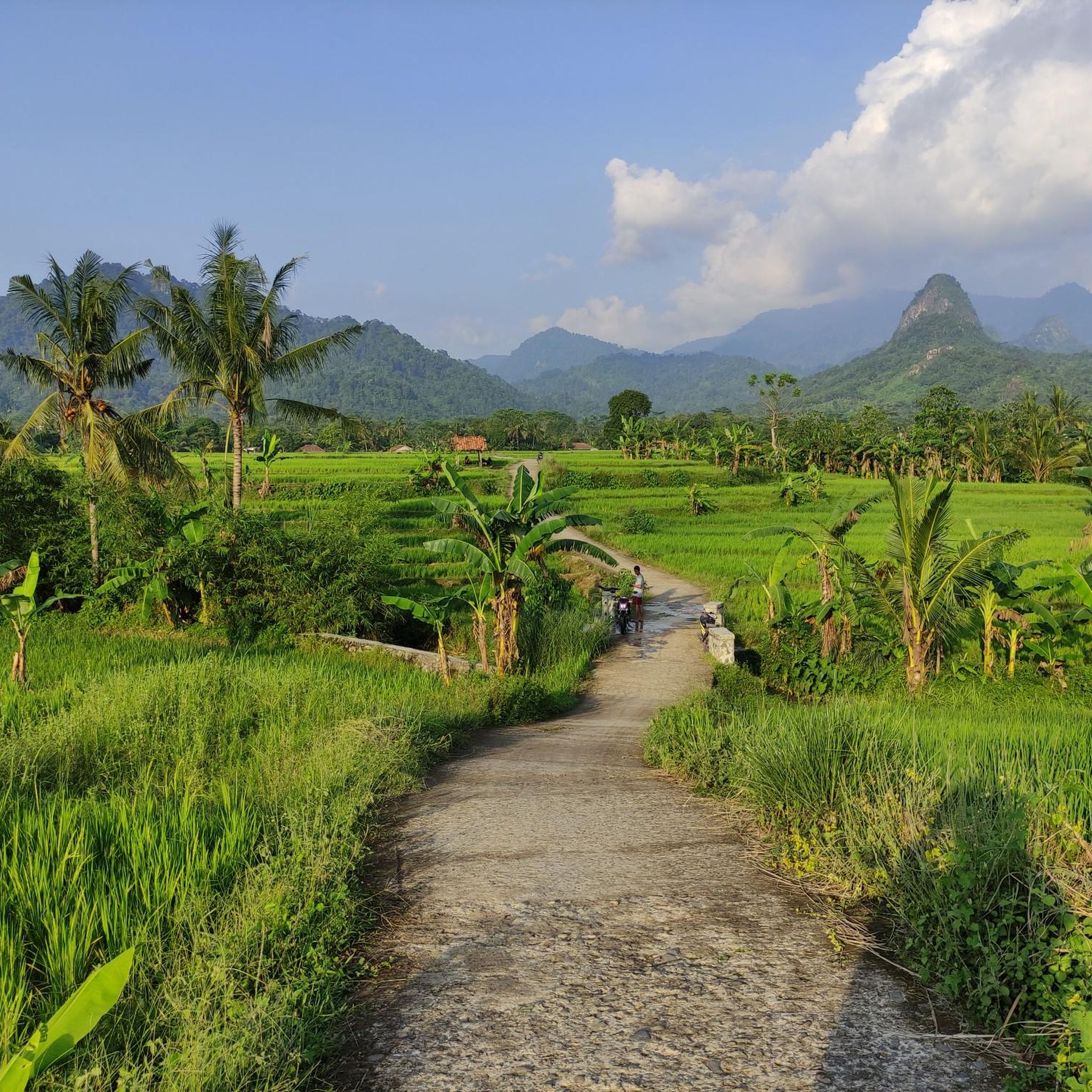
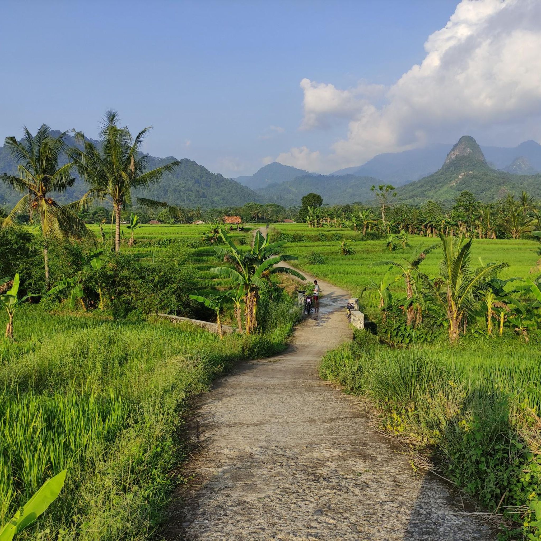
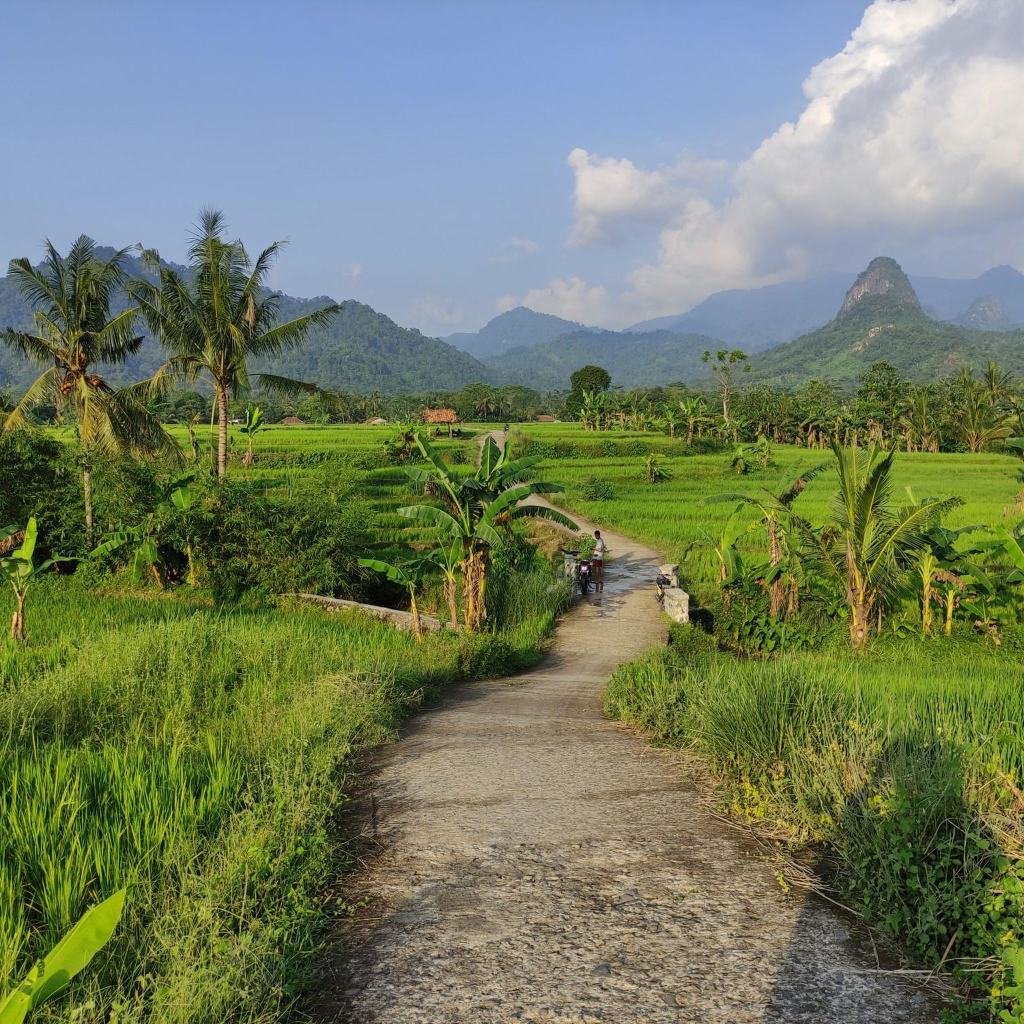
Hiking in the Parahyangan Highlands offers diverse terrain characterized by volcanic mountains, lush rainforests, and expansive tea plantations. The region's topography includes numerous peaks and deep valleys, providing varied elevation changes for hikers. Trails often lead through verdant landscapes and past natural features like waterfalls and hot springs. This area is a significant destination for outdoor activities due to its mountainous environment.
Best hiking trails in the Parahyangan Highlands
- The most popular hiking route is Post 2 TAHURA – Goa Belanda TAHURA loop from Kolam Pakar, a 6.3 miles (10.1 km) trail that takes about 2 hours 50 minutes to complete. This moderate loop explores forest trails and historical sites within a grand forest park.
- Another top favourite among local hikers is Bogor Street Market loop from Bogor, an easy 3.1 miles (5.1 km) path. This accessible trail offers a glimpse into local life and urban walking.
- Local hikers also love the Alun-Alun Surya Kencana – Santoso loop from Gunung Putri, a 9.3 miles (15.0 km) trail leading through mountainous terrain, often completed in about 6 hours 45 minutes.
- Hiking in the Parahyangan Highlands is defined by volcanic landscapes, dense rainforests, and scenic tea plantations. The network offers options for various ability levels, from easy walks to challenging mountain ascents.
- The routes in Parahyangan Highlands are highly rated by the komoot community with an average score of 4.8 stars from more than 60 reviews. More than 1200 hikers have used komoot to explore Parahyangan Highlands's varied terrain.
Last updated: July 10, 2026
4.9
(8)
191
hikers
9.91km
02:49
210m
210m
Moderate hike. Good fitness required. Easily-accessible paths. Suitable for all skill levels.
5.0
(4)
145
hikers
4.95km
01:19
50m
50m
Easy hike. Great for any fitness level. Easily-accessible paths. Suitable for all skill levels.

Sign up for free
5.0
(1)
82
hikers
15.1km
06:49
1,410m
1,400m
Hard hike. Very good fitness required. Easily-accessible paths. Suitable for all skill levels.
4.4
(5)
90
hikers
Moderate hike. Good fitness required. Easily-accessible paths. Suitable for all skill levels.
5.0
(7)
120
hikers
6.01km
02:06
350m
350m
Moderate hike. Good fitness required. Easily-accessible paths. Suitable for all skill levels.
4.8
(8)
75
hikers
Moderate hike. Good fitness required. Easily-accessible paths. Suitable for all skill levels.
5.0
(1)
36
hikers
15.6km
06:52
1,450m
1,450m
Hard hike. Very good fitness required. Easily-accessible paths. Suitable for all skill levels.
4.8
(8)
50
hikers
5.31km
03:04
780m
780m
Moderate hike. Good fitness required. Easily-accessible paths. Suitable for all skill levels.
5.0
(3)
44
hikers
3.78km
02:20
610m
610m
Moderate hike. Good fitness required. Easily-accessible paths. Suitable for all skill levels.
5.0
(3)
35
hikers
Hard hike. Very good fitness required. Easily-accessible paths. Suitable for all skill levels.
Get access to more routes and recommendations from other explorers.
Sign up for free
Already have an account?
Our route recommendations are based on thousands of hikes, rides, and runs completed by other people on komoot.
Start today with a free account
Your next adventure awaits.
Login or Signup
Other adventures in the Parahyangan Highlands

Tips from the Community

Dari warung ke sini pas banget 1 km dengan EG 300 meter. Jadi kalau mau everesting ya kira-kira 30 kali naik turun aja ke sini dari warung di Batu Kuda.
0
0
Puncak Manglayang itu dataran luas banget yang bisa menampung banyak tenda. Dari puncak ini banyak cabang jalur ke mana-mana. Tapi yang gampang ketuker itu jalur Batu Kuda dan Baru Bereum yang sama-sama ke selatan. Pokoknya jangan salah ambil jalur kecuali kalau emang niat ngelintas.
0
0
Entah kenapa ada pos di sini. Dari sini ke puncak tinggal satu tanjakan lagi. Mungkin buat yang enggak dapet lapak tenda di puncak, di sini bisa ngecamp. Tapi ya tanggung banget sih.
0
0
Pos 2 ini cukup datar dan bisa aja sih buat ngacamp kalo kepepet. Setelah pos ini jalannya sedikit menurun, lalu ada dataran kayak jalan tol yang enak buat lari-lari. Habis itu langsung dihajar tanjakan parah lagi dengan medan batu. Ada beberapa spot yang dikasih tali. Curam dan licin walau saat kering.
0
0
Pos 1 Manglayang itu sebenernya dari jarak udah setengah jalan ke puncak. Setelah melewati tanjakan galau yang gila itu. Ada batu besar, Medannya miring dan enggak enak buat camp. Enggak ada pemandangan juga, Emang pos buat istirahat doang.
0
0

A permit is required (as of 05.2026). A guide is not mandatory but recommended. In the upper third, there are several tracks to the crater rim. The guide will show you the best route. Overall a dream. Unfortunately, nobody seems to care about the trash. There is quite a bit lying around here.
3
0
There are Timor deer that are bred here. Visitors can feed them. But try not to do it from behind the wire fence, poor deer's snout can get hurt. Don't be lazy to walk a little to enter the feeding area in the middle!
0
0
There is a district boundary monument next to the hut that can be used for resting for Tahura visitors. A small detail that people rarely notice.
0
0
Frequently Asked Questions
What kind of terrain can I expect when hiking in the Parahyangan Highlands?
The Parahyangan Highlands are characterized by dramatic volcanic mountains, lush rainforests, and expansive tea plantations. You'll encounter varied elevation changes, from gentle slopes through tea gardens to challenging ascents on volcanic peaks. The region's rich biodiversity means trails often lead through verdant landscapes, past natural features like waterfalls and hot springs.
Are there any easy hiking trails suitable for beginners or families?
Yes, the Parahyangan Highlands offer several easy trails. For instance, the Bogor Street Market loop from Bogor is an easy 3.1 miles (5.1 km) path, offering an accessible urban walk. Overall, there are 19 easy routes available, many of which are suitable for a relaxed outing.
Where can I find challenging hikes in the Parahyangan Highlands?
For those seeking a challenge, the region's volcanic peaks offer demanding ascents. A difficult option is the Alun-Alun Surya Kencana – Santoso loop from Gunung Putri, a 9.3 miles (15.0 km) trail with significant elevation gain, typically taking about 6 hours 45 minutes. There are 8 difficult routes in total, providing strenuous experiences.
What are some notable natural attractions or landmarks to see while hiking?
The Parahyangan Highlands are rich in natural beauty. You can explore stunning waterfalls like the Cimahi Waterfall (Rainbow Waterfall), or visit the dramatic volcanic landscapes such as the Kawah Ratu Geothermal Area. Expansive tea plantations like Sukawana Tea Plantation also offer picturesque walking routes.
Are there any circular hiking routes available?
Yes, many trails in the Parahyangan Highlands are designed as loops. A popular moderate circular route is the Post 2 TAHURA – Goa Belanda TAHURA loop from Kolam Pakar, which covers 6.3 miles (10.1 km) and explores forest trails and historical sites. Another option is the Kawah Ratu Geothermal Area – Ratu Crater via Pasir Rengit loop.
What is the best time of year to go hiking in the Parahyangan Highlands?
The Parahyangan Highlands receive significant rainfall, contributing to their lush environment. While hiking is possible year-round, the dry season (typically May to September) generally offers more stable weather conditions, making trails less muddy and views clearer. However, even during the wet season, short showers are common, and the landscape remains vibrant.
What do other hikers say about the trails in the Parahyangan Highlands?
The hiking routes in the Parahyangan Highlands are highly rated by the komoot community, with an average score of 4.8 stars from over 60 reviews. Hikers often praise the diverse volcanic landscapes, the serene beauty of the tea plantations, and the refreshing atmosphere of the rainforest trails.
Are there any specific regulations or permits needed for hiking certain areas?
Some volcanic areas or national parks within the Parahyangan Highlands, such as those around active volcanoes, may require permits or entrance fees. It's advisable to check local regulations for specific peaks or protected areas before planning your hike, especially for more challenging ascents.
Can I reach trailheads using public transport?
While some trailheads, particularly those closer to urban centers like Bogor, might be accessible via local public transport, many more remote hiking spots in the Parahyangan Highlands may require private transportation or ride-sharing services. Planning your route in advance and checking local transport options is recommended.
Are there places to eat or stay near the hiking trails?
Yes, the region offers various options for food and accommodation. You can find local eateries and cafes, such as BURATA PITSTOP - PASAREAN WARUNG or Lemon Tea Stall Nur Cibodas, near popular hiking areas. Accommodation ranges from guesthouses to resorts, especially in towns surrounding the highlands, catering to different budgets.
Are there any specific trails that lead through tea plantations?
Yes, the Parahyangan Highlands are famous for their extensive tea plantations, and many trails wind through these scenic landscapes. The Sukawana Tea Plantation is a notable area where you can find beautiful trekking routes, offering a serene experience amidst stunning green vistas and a glimpse into the region's agricultural heritage.
Most popular routes in the Parahyangan Highlands
Most popular attractions in the Parahyangan Highlands

Get inspired with the komoot mobile app


Explore more
Browse the best Hikes in other regions.
