The best walks and hikes in Upper Tweeddale
4.4
(325)
3,564
hikers
15
hikes
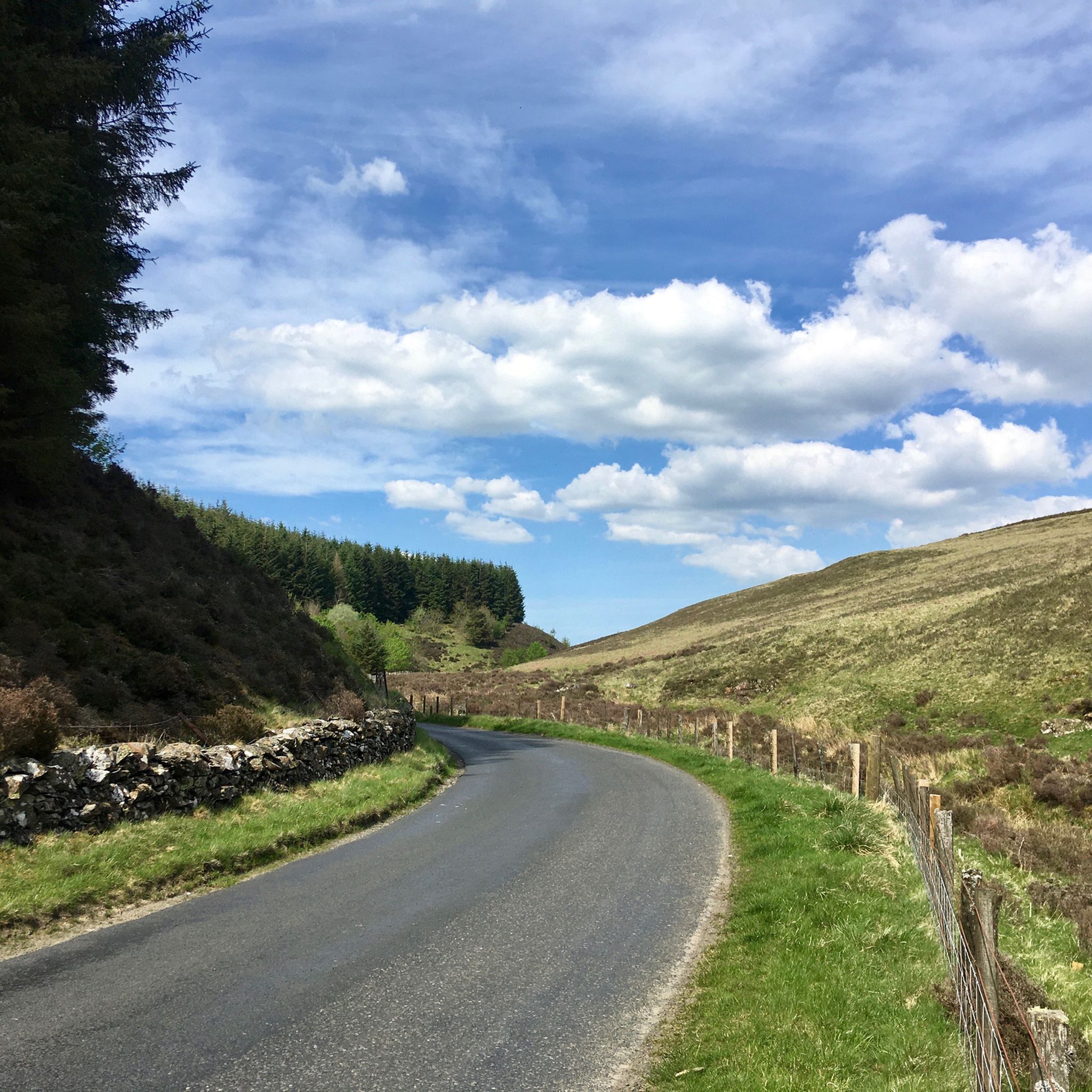
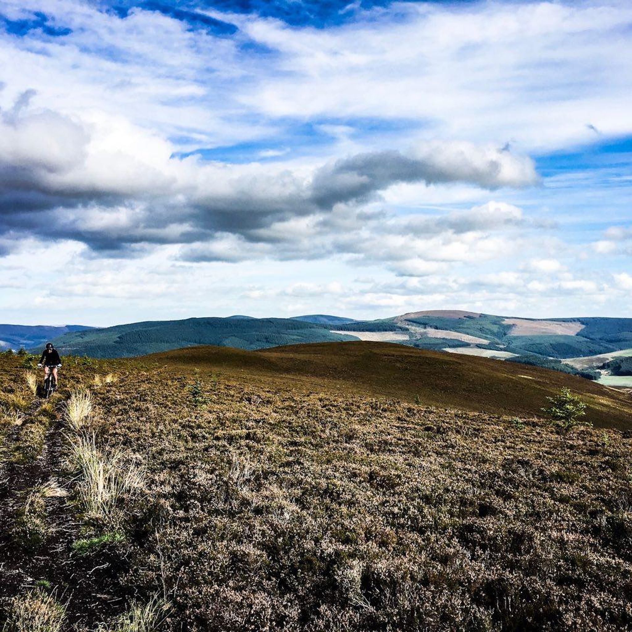
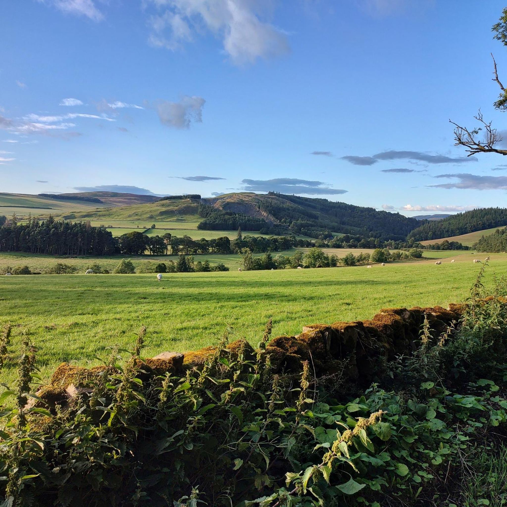
Hikes in Upper Tweeddale explore a landscape shaped by the River Tweed and its tributaries. The region is characterized by rolling hills, expansive moorlands, and significant forest cover. The terrain offers a mix of riverside paths and hill climbs, with the highest point reaching an elevation of 730 meters.
Best hiking trails in Upper Tweeddale
- The most popular hiking route is Trahenna Hill & Broughton Heights loop from Broughton Palace, a 7.3 mile (11.7 km) trail that takes about…
Last updated: October 10, 2026
4.4
(5)
25
hikers
11.7km
04:24
450m
440m
Moderate hike. Good fitness required. Mostly accessible paths. Sure-footedness required.
5.0
(1)
8
hikers
17.2km
04:57
410m
410m
Moderate hike. Good fitness required. Easily-accessible paths. Suitable for all skill levels.

4.0
(2)
5
hikers
8.20km
02:51
330m
330m
Moderate hike. Good fitness required. Mostly accessible paths. Sure-footedness required.
1
hikers
9.35km
03:05
340m
340m
Moderate hike. Good fitness required. Mostly accessible paths. Sure-footedness required.
36.0km
11:11
1,300m
1,310m
Hard hike. Very good fitness required. Easily-accessible paths. Suitable for all skill levels.
Get access to more routes and recommendations from other explorers.
Already have an account?
Our route recommendations are based on thousands of hikes, rides, and runs completed by other people on komoot.
Start today with a free account
Your next adventure awaits.
Popular around Upper Tweeddale
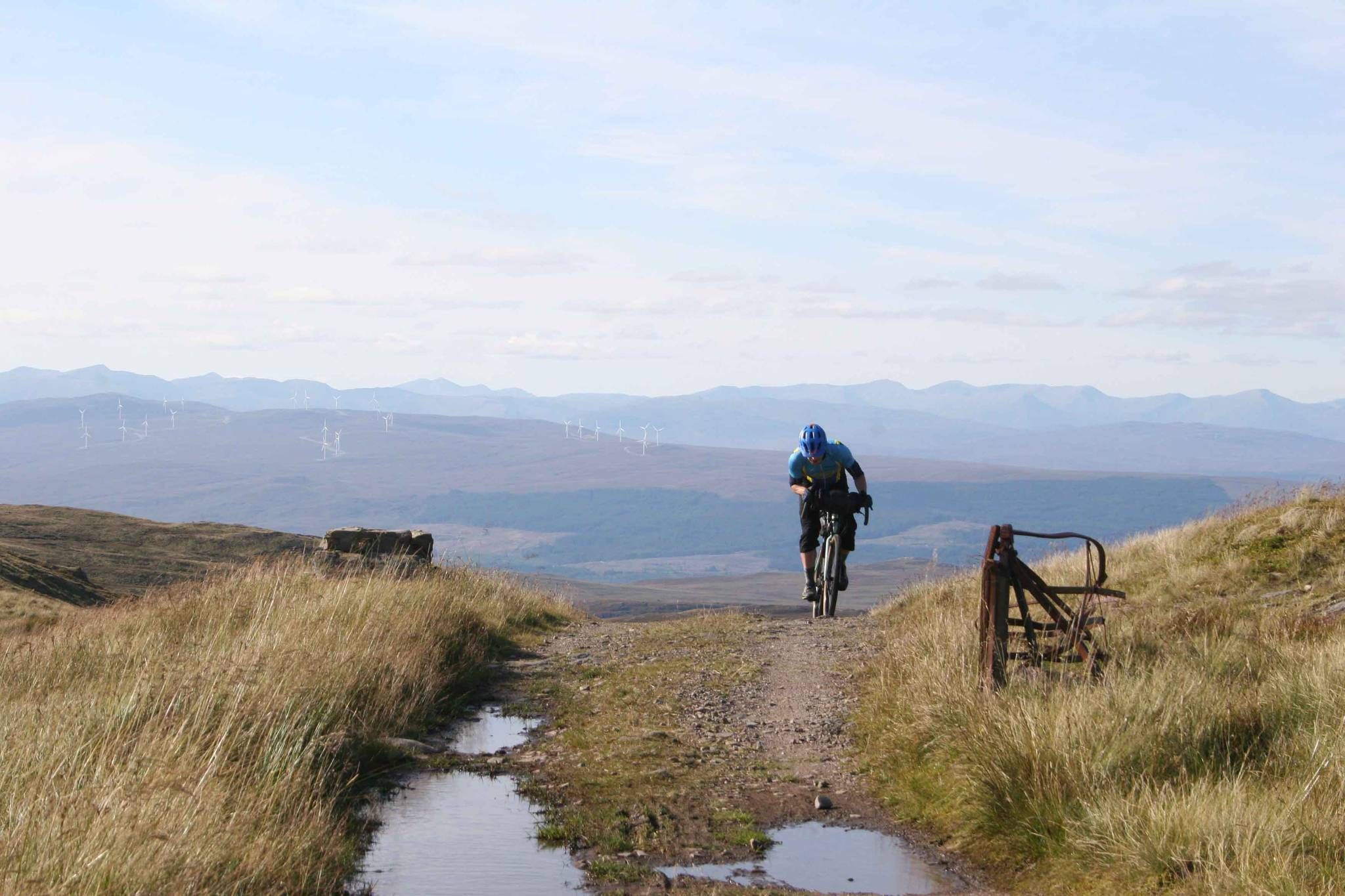
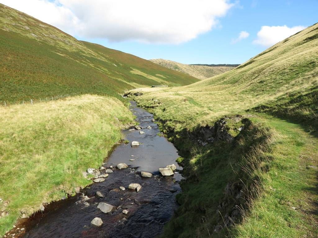
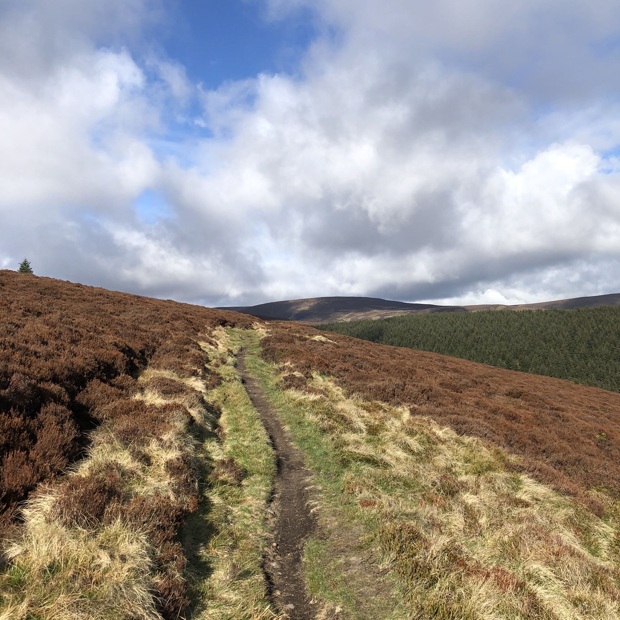
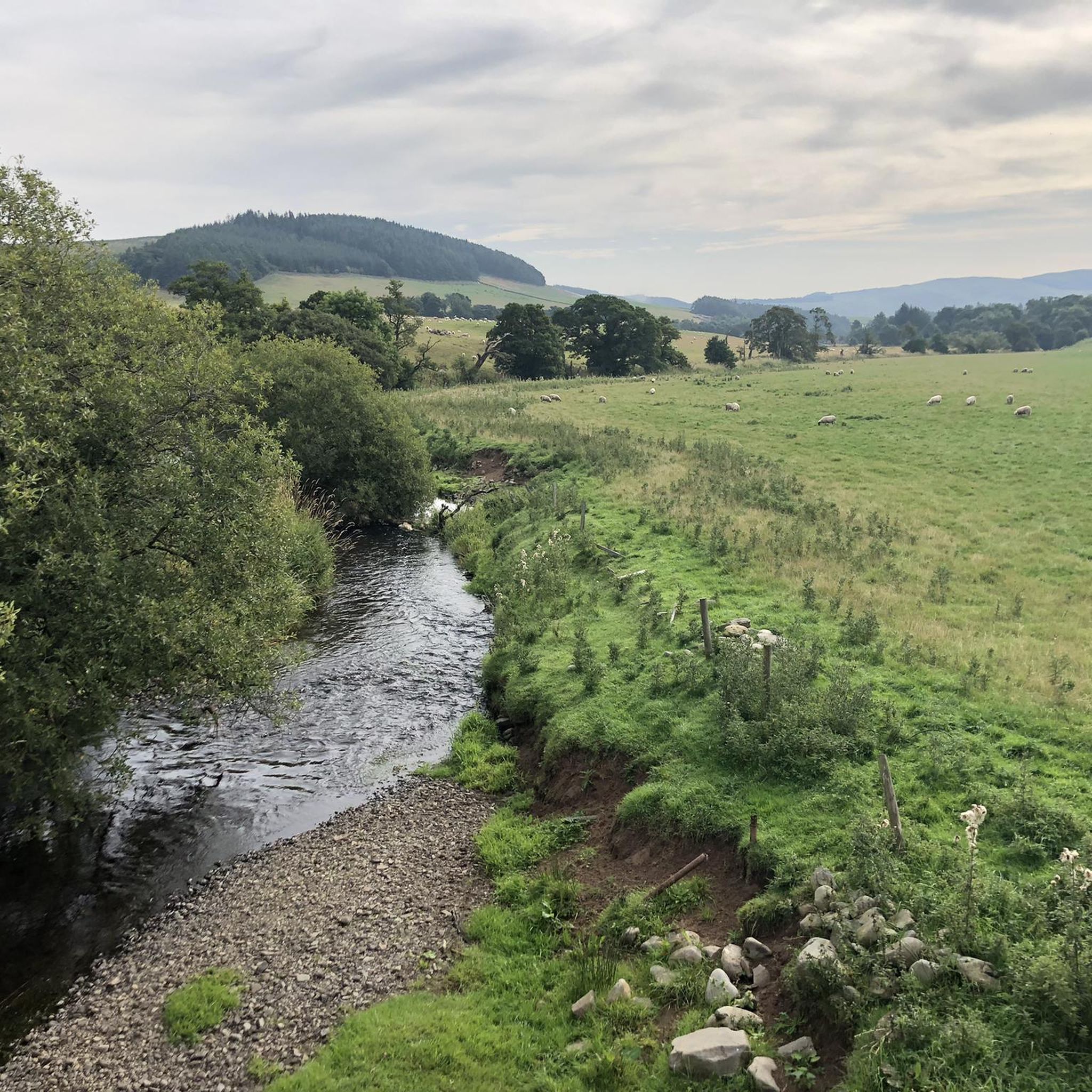


Tips from the Community

Broughton Heights is the highest of the fine range of hills lying to the east of the village. With grassy ridges and steep heathery slopes, the hills give some superb views. This route takes in Broughton Heights itself before returning over Hammer Head to take in Trahenna Hill.
0
0
Broughton Place is a historic house in the village of Broughton, Scottish Borders. It was designed by Basil Spence in the style of a 17th-century Scottish Baronial tower house.
1
0
A hill of the Scottish Borders, Cademuir Hill is located on the right bank of the Manor Water, 2 miles south southwest of Peebles. It has two principal summits rising to 416m and 407m respectively. Several hill-forts and ancient settlements are located here. Its eastern slopes are cloaked with the coniferous forest of the Cademuir Plantation.
2
0
Trahenna Hill (549 m) is an extensive hill to the east of Broughton. Its finest feature is its northern ridge, Hammer Head. With grassy ridges and steep heathery slopes, the hills give some superb views.
1
0
Birkside Law is a mountain summit in the Moffat to Peebles region in the county of Scottish Borders, Scotland. Birkside Law is 594 metres high, with a prominence of 86 metres. Hunt Law is a summit in the Manor Hills region or range in Scotland. Hunt Law is 639 metres high.
0
0
Cademuir Hill gives commanding views over Peebles and Glentress Forest. The scenery is at its best on misty mornings or in the low light of early evening. It’s an ideal place for wildlife spotting. Keep an eye – and an ear – open for small birds such as siskins, warblers and crossbills, or greater spotted woodpeckers. If you’re very lucky you’ll catch a glimpse of tawny owls fleeting through the trees at dusk or red deer bouncing through the trees.
2
0

Although this looks like a castle it was built from scratch in the 1930's. Designed to look like a 17th-century Scottish Baronial tower house. It was a private house until it was converted into flats in the 1970's. It's still a private residence but looks very interesting and is worth a walk past.
0
0
At 549m this wide grassy hill stands between Peebles & Biggar. The walk from here along the ridge to Hammer Head is great.
0
0
Frequently Asked Questions
Can I take my dog on hikes in Upper Tweeddale?
Yes, many trails in Upper Tweeddale are suitable for dogs. However, it's a region with active livestock farming and ground-nesting birds, so it's crucial to keep your dog under close control, especially during lambing season in the spring. The Hammer Head loop offers a varied walk through woodland and fields where you can enjoy the scenery with your canine companion.
What's a good hike for beginners or families?
For a gentler experience, consider exploring the trails within the Tweed Valley Forest Park or a walk around Dawyck Botanic Garden. The region has 5 easy-rated routes. A great option is a walk along the River Tweed near Peebles, which is relatively flat and offers lovely scenery without a strenuous climb.
Are there any circular walks with a pub or café nearby?
Yes, the village of Broughton is an excellent base for a walk followed by refreshments. After tackling a hill walk in the Broughton Heights, you can visit the community-run Wee Crook Café or the Broughton Ales brewery. This makes for a perfect day out combining hiking with local hospitality.
Where can I find hikes with waterfalls?
While the region is defined more by its rolling hills and the River Tweed, you can find charming water features along its many burns (streams). The Stanhope Burn loop follows one such stream, offering the peaceful sound of running water as you hike through a mix of open country and forest.
How do I get to the trailheads? Is parking available?
Most trailheads, especially for the popular hill walks like those in the Broughton Heights, are best accessed by car. You'll find dedicated car parks at the start of many routes. For example, Glentress in the Tweed Valley Forest Park has a large parking area, though it can be busy. It's always a good idea to arrive early and have some coins for parking meters, just in case.
What is a classic hillwalking experience in the region?
For a quintessential Borders hill walk, the Trahenna Hill & Broughton Heights loop is a fantastic choice. This route provides the open, expansive moorland and panoramic views that the area is famous for. It's a moderately challenging hike that rewards your effort with a true sense of the Upper Tweeddale landscape.
Are there any long-distance trails in Upper Tweeddale?
Yes, the John Buchan Way is a notable 14-mile linear route that runs from Broughton to Peebles. It allows you to walk in the footsteps of the famous author, passing through the scenic countryside that inspired his writing. The trail offers a great way to experience a significant portion of the National Scenic Area.
What is the most challenging hike in Upper Tweeddale?
If you're looking for a serious challenge, the Dun Rig loop is the only difficult-rated hike in our collection. This demanding 22-mile (36 km) route involves significant elevation gain and requires a full day, good fitness, and navigational skills. It's a rewarding trek for experienced hillwalkers.
What do other hikers think of the trails in Upper Tweeddale?
The hiking routes in Upper Tweeddale are highly regarded by the komoot community, with an average rating of 4.4 out of 5 stars. Hikers often praise the stunning panoramic views from the hilltops, the peaceful riverside paths, and the variety of terrain from dense forests to open moorland.
Is wild camping permitted in the area?
In line with the Scottish Outdoor Access Code, wild camping is generally permitted in Upper Tweeddale. However, you must do so responsibly. This means camping away from roads and buildings, leaving no trace, and avoiding enclosed fields with crops or livestock. The expansive hills offer many suitable spots for a respectful overnight stay.
What are the trails like in the Tweed Valley Forest Park?
The Tweed Valley Forest Park, which includes the popular Glentress area, offers a wide network of trails. While it's famous for mountain biking, there are also numerous well-marked walking paths. These range from easy, family-friendly strolls to more strenuous climbs through the forest, often providing excellent views over the valley.
Most popular routes in Upper Tweeddale
Most popular attractions in Upper Tweeddale

Get inspired with the komoot mobile app


Explore more
Browse the best Hikes in other regions.
