The best cycling routes in Upper Tweeddale
4.5
(90)
3,795
riders
108
rides
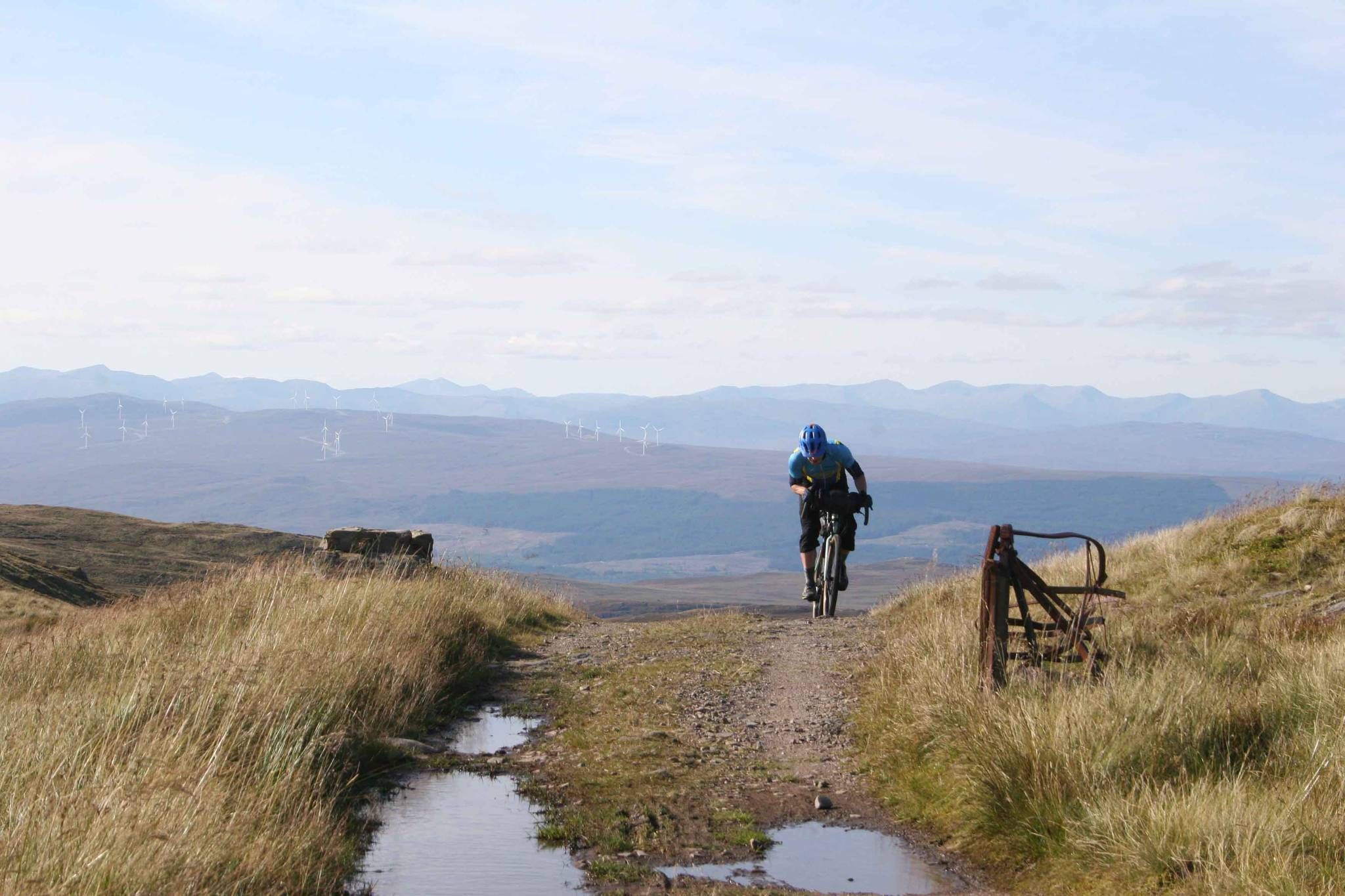
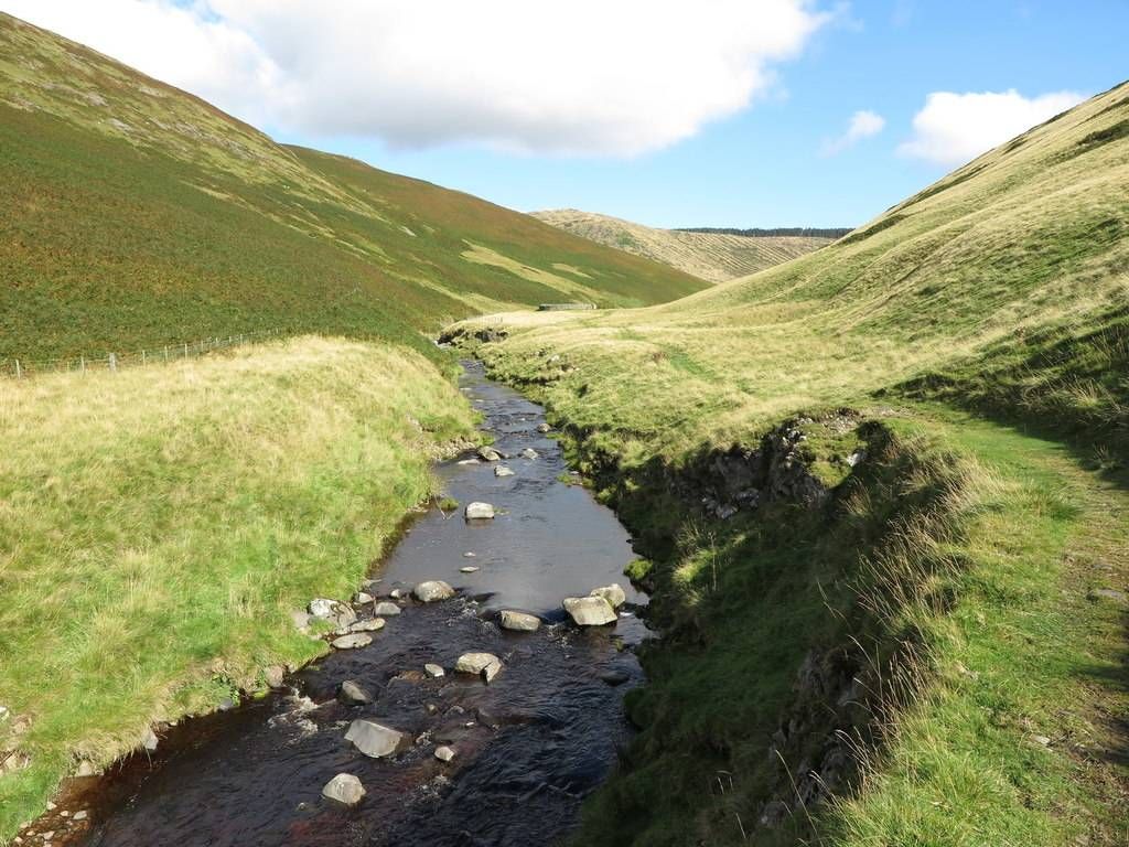
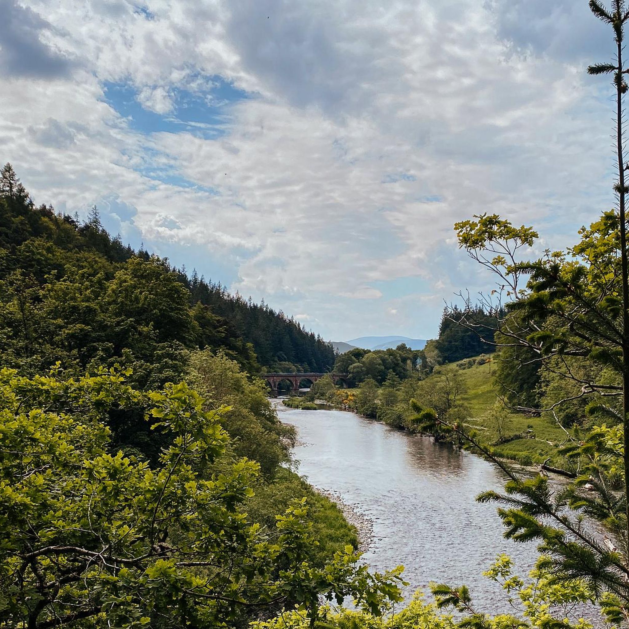
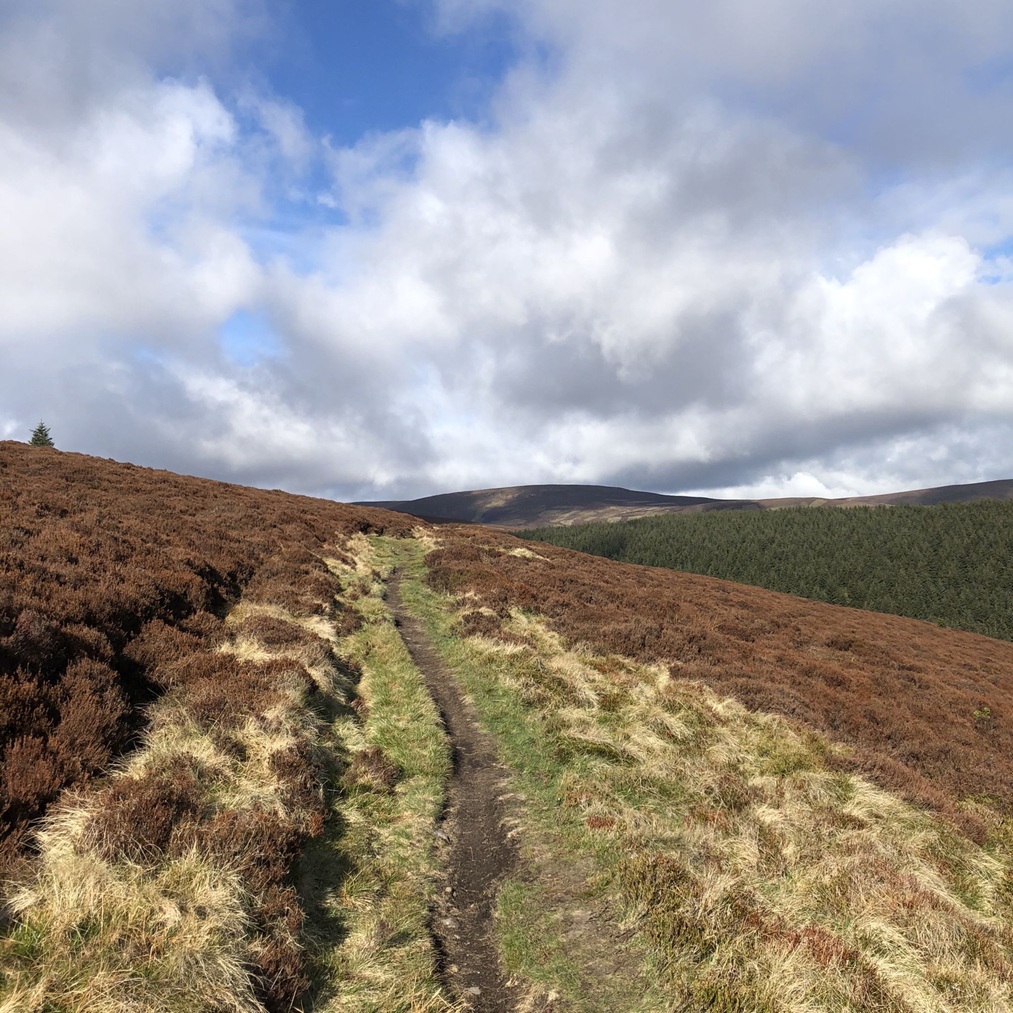
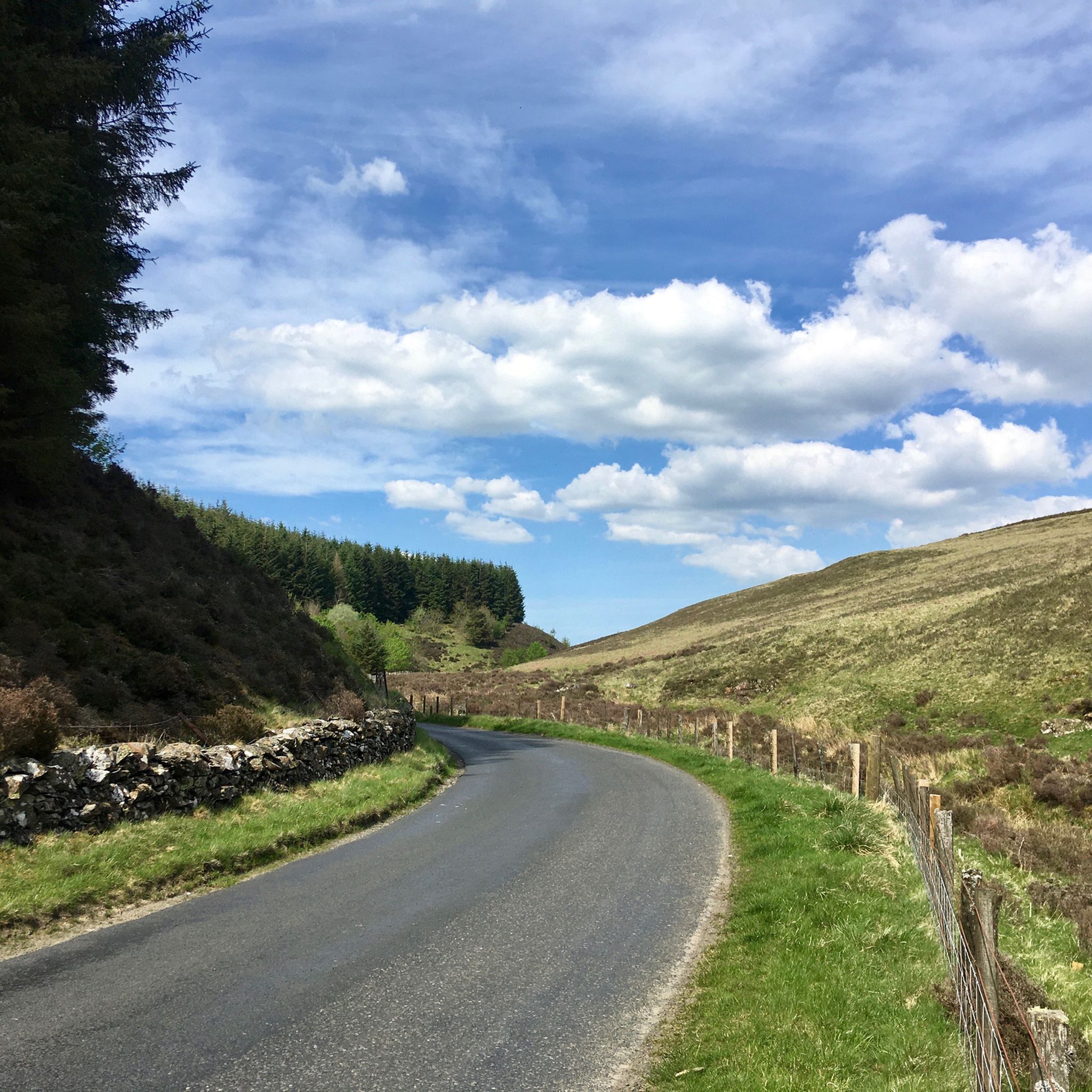
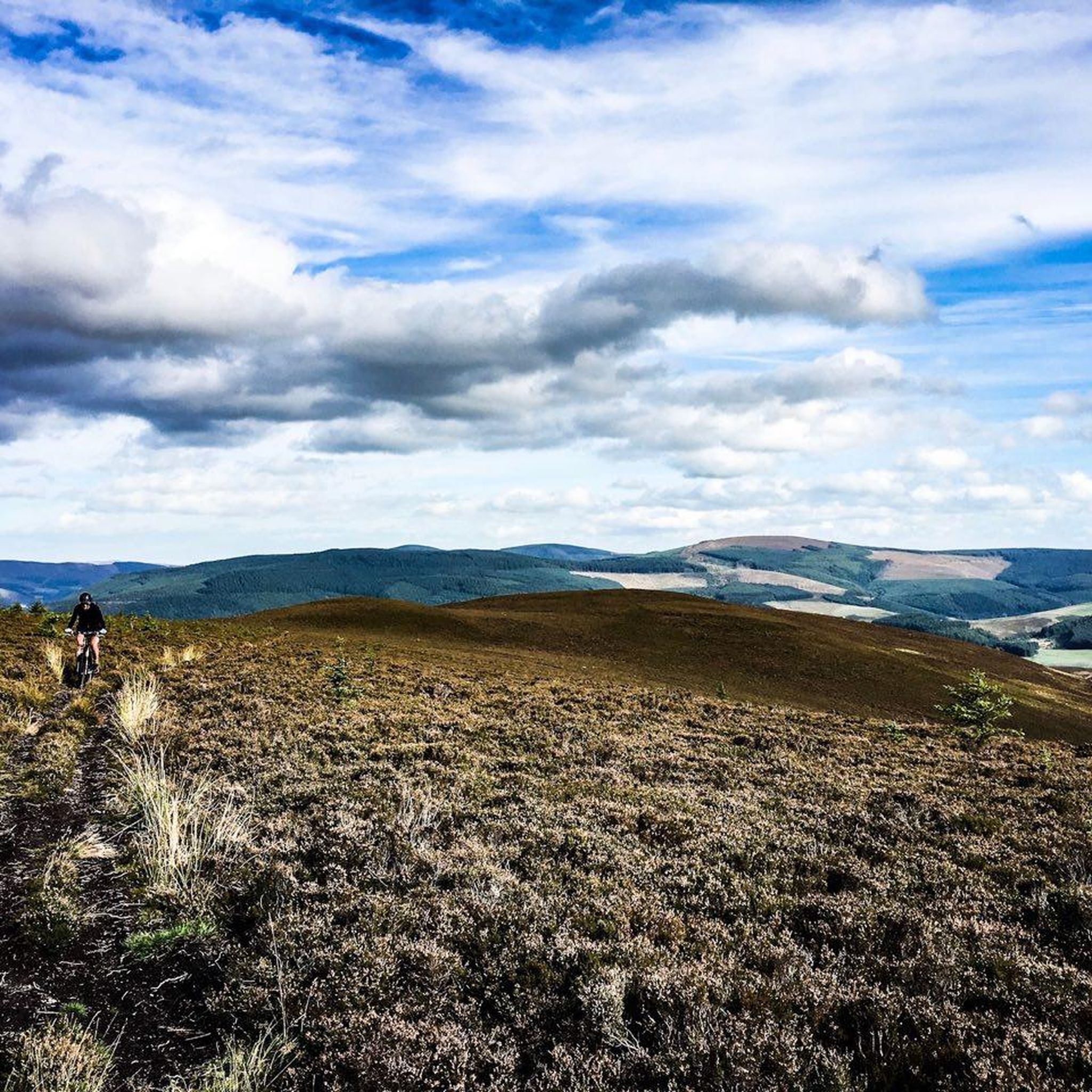
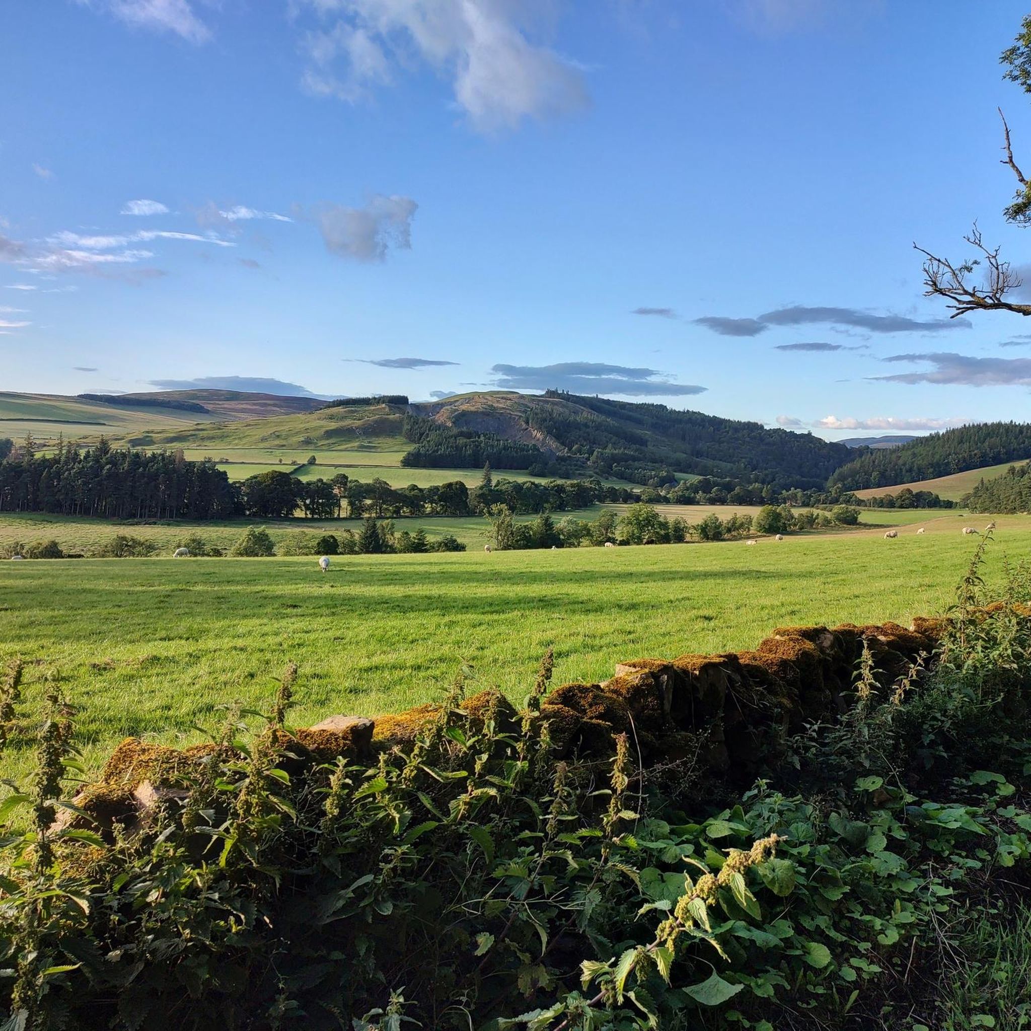
Touring cycling in Upper Tweeddale offers diverse landscapes characterized by the upper course of the River Tweed, which flows through narrow, steep-sided valleys flanked by rounded hills. The region features expansive open hills and dramatic moorland, including the Tweedsmuir Hills, providing panoramic views. Cyclists can explore a varied terrain of deciduous and coniferous woodlands, fertile pastures, and arable land in the valleys. This blend of natural features creates a dynamic environment for touring cyclists.
Best touring cycling routes in Upper…
Last updated: June 24, 2026
9
riders
21.6km
01:40
300m
300m
Moderate bike ride. Good fitness required. Mostly paved surfaces. Suitable for all skill levels.
3
riders
14.8km
00:56
160m
160m
Moderate bike ride. Good fitness required. Mostly paved surfaces. Suitable for all skill levels.

Sign up for free
4
riders
43.2km
03:55
830m
830m
Hard bike ride. Very good fitness required. Mostly paved surfaces. Suitable for all skill levels.
5
riders
17.4km
01:19
260m
260m
Moderate bike ride. Good fitness required. Mostly paved surfaces. Suitable for all skill levels.
5.0
(1)
91
riders
80.2km
05:00
720m
720m
Hard bike ride. Very good fitness required. Mostly paved surfaces. Suitable for all skill levels.
Get access to more routes and recommendations from other explorers.
Sign up for free
Already have an account?
Our route recommendations are based on thousands of hikes, rides, and runs completed by other people on komoot.
Start today with a free account
Your next adventure awaits.
Login or Signup
Popular around Upper Tweeddale


Tips from the Community

In calm weather, the loch is a beautiful, mirror-like feature nestled between low hills. Swimming is potentially dangerous because the water level is regulated and cold undercurrents develop. On the shore is the basic but pleasant Tibbie Shiels Inn campsite. Across the road is a bikers' café where hikers are also welcome.
0
0

Fotheringham Bridge is a steel-truss footbridge across the River Tweed. It is located a half-mile (0.8 km) west of the centre of Peebles in the Scottish Borders.
0
0

Great place to have a pit stop and refuel, very friendly, they have a wide variety of food and cater for people with food allergies, vegan and vegetarian options available.
0
0


The tarmac cycle path following the river Tweed from Glentress makes Innerleithen super accessible which in turn provides you with free range to pedal the ‘old’ XC & DH trails, it also provides easy access to the current ‘trendy’ gravity orientated hot spot of Golfie, named so, as it’s situated above the golf course. First off the Old XC, (starts from the carpark over the bridge by the river) it was very sad to see the current trashed & sorry state of what appears to be the forgotten XC Trail, after having ridden it many times since the early eighties! The long climb at the start is currently cut short & diverted with no access up to the top from what I could see? The remainder of the trails are just trashed with the mighty Caddon Bank DH a shadow of its former self. Golfie is an easy pedal across the village with some great coffee stop opportunities enroute. One in particular Findra on the high st deserves a Big shout out, it’s stylish, MTB rider (muddy bum) friendly, sells fantastic coffee & food has uber cool curated music. Oh it also sells very cool artisan made clothing. There are others in the village which all look fab but Findra was the one we stopped at. The Findra staff ride mountain bikes, are super friendly & great for local riding knowledge 😉👍 Golfie is a short pedal through the village towards the Golf club & then a longish pedal up a Forest road with ‘natural’ trails spilling off the side of the hill in varying degrees of difficulty. Be prepared for full on gnar, chunder, roots, very steep drop offs & lots n lots of muddy gloop if the weather has not been kind. No manicured trails here! If you keep pedalling you’ll eventually reach the old reservoir where the views are magnificent & several trail go off in several directions. My advice, if it’s your first time riding Golfie try & take someone who’s ridden it before as some of the trails start off very benign but then transform like Dr Jekyll & Mr Hyde! Wear body armour that allows you to pedal, but all the same wear body armour😜👍
1
0

Connecting the 7 staines. You can bike from Walkerburn, Innerleithen and Glentress on this path.
0
0

Some of the best gravel I've seen in the borders. Great fun downhill, might be a bit boring on the way up
1
0
Heading North, the climb is great - very steep but a decent surface - but the descent is not fun without suspension. Lots of dried cow hoofprints and grassy knolls when I did it
0
0
Frequently Asked Questions
How many touring cycling routes are available in Upper Tweeddale?
Upper Tweeddale offers a wide selection of touring cycling routes, with over 110 options available. These routes cater to various skill levels, including 21 easy, 56 moderate, and 41 difficult trails, ensuring there's something for every cyclist.
What kind of terrain can I expect on touring cycling routes in Upper Tweeddale?
The terrain in Upper Tweeddale is diverse, characterized by the upper course of the River Tweed winding through narrow, steep-sided valleys flanked by rounded hills. You'll encounter expansive open hills and dramatic moorland, particularly in the Tweedsmuir Hills, offering panoramic views. Routes also traverse a mix of deciduous and coniferous woodlands, fertile pastures, and arable land in the valleys.
Are there any challenging touring cycling routes in Upper Tweeddale?
Yes, Upper Tweeddale features several challenging routes for experienced touring cyclists. For instance, the St Mary's Loch – Loch of the Lowes loop from Whitelaw Hill is a difficult 43.2 km route with over 800 meters of elevation gain, offering demanding climbs and rewarding views. Another challenging option is the Elibank Craig Road – River Tweed loop from Peebles, which covers over 80 km.
What are some notable natural features or landmarks I can see along the touring cycling routes?
Cyclists can explore a variety of natural features and historical landmarks. The River Tweed itself is a defining feature, and you might encounter ancient hill forts like Dreva Craig, or historical structures such as Neidpath Castle and Barns Tower. The Neidpath Tunnel is a unique highlight on some routes. For those seeking scenic views, the The Meldons Road offers picturesque vistas.
Are there any family-friendly touring cycling routes in Upper Tweeddale?
While specific family-friendly routes are not detailed, the region offers gentle rides along valley floors, which are generally suitable for families. The varied terrain includes pastoral valleys and riverside meadows, providing less strenuous options. It's advisable to check the difficulty grade and elevation profile of individual routes on komoot to find the best fit for your family.
What do other touring cyclists enjoy most about cycling in Upper Tweeddale?
The touring cycling routes in Upper Tweeddale are highly rated by the komoot community, with an average score of 4.4 stars from over 80 reviews. Cyclists often praise the diverse landscapes, from winding river valleys to open moorland, and the blend of natural beauty with historical sites. The variety of routes catering to different skill levels is also a frequently appreciated aspect.
Are there circular touring cycling routes available in Upper Tweeddale?
Yes, many touring cycling routes in Upper Tweeddale are designed as loops, allowing you to start and finish in the same location. An example is the popular Neidpath Tunnel loop from Whitelaw Hill, a moderate 20.8 km route. Another option is the Cademuir Plantation – Bonnington Covert loop from Kingsmuir, which traverses woodlands.
When is the best time of year to go touring cycling in Upper Tweeddale?
Upper Tweeddale offers cycling opportunities throughout much of the year. Spring and autumn provide pleasant temperatures and beautiful scenery with changing foliage. Summer is ideal for longer rides, though some routes can be exposed. While winter cycling is possible, be prepared for colder conditions and potentially challenging weather on higher moorland sections.
Are there places to stop for refreshments or accommodation along the routes?
Yes, the region has villages and towns where you can find amenities. For example, the Broughton Village Store & Café loop from Calzeat specifically highlights a village store and café, indicating that such facilities are available in local communities. It's always a good idea to plan your route and check for specific stops in advance.
What makes the Upper Tweeddale landscape unique for touring cyclists?
Upper Tweeddale's landscape is unique due to the intimate valleys carved by the River Tweed, contrasted with expansive open hills and dramatic moorland. It's part of a National Scenic Area, offering a visually interesting and varied environment. The presence of the River Tweed, a Special Area of Conservation, adds to its natural significance, alongside diverse woodlands and farmland that create a rich ecological tapestry.
Can I access touring cycling routes in Upper Tweeddale using public transport?
While specific public transport links directly to trailheads are not detailed, the region has towns and villages that may be accessible by public transport, such as buses. From these points, you might be able to connect to various cycling routes. It's recommended to research local bus services to plan your access points.
Are there any specific historical sites worth visiting while cycling in Upper Tweeddale?
Absolutely. The region is rich in history. You can cycle past ancient hill forts like Dreva Craig, or visit castles such as Neidpath, Stobo, and Tinnis. Barns Tower is another historic landmark that can be encountered. Dawyck Botanic Garden also offers a picturesque stop with its renowned seasonal beauty.
Most popular routes in Upper Tweeddale
Most popular attractions in Upper Tweeddale

Get inspired with the komoot mobile app


Explore more
Browse the best Cycling routes in other regions.
