The best walks and hikes around Río Guadalmedina
4.4
(2390)
19,674
hikers
280
hikes
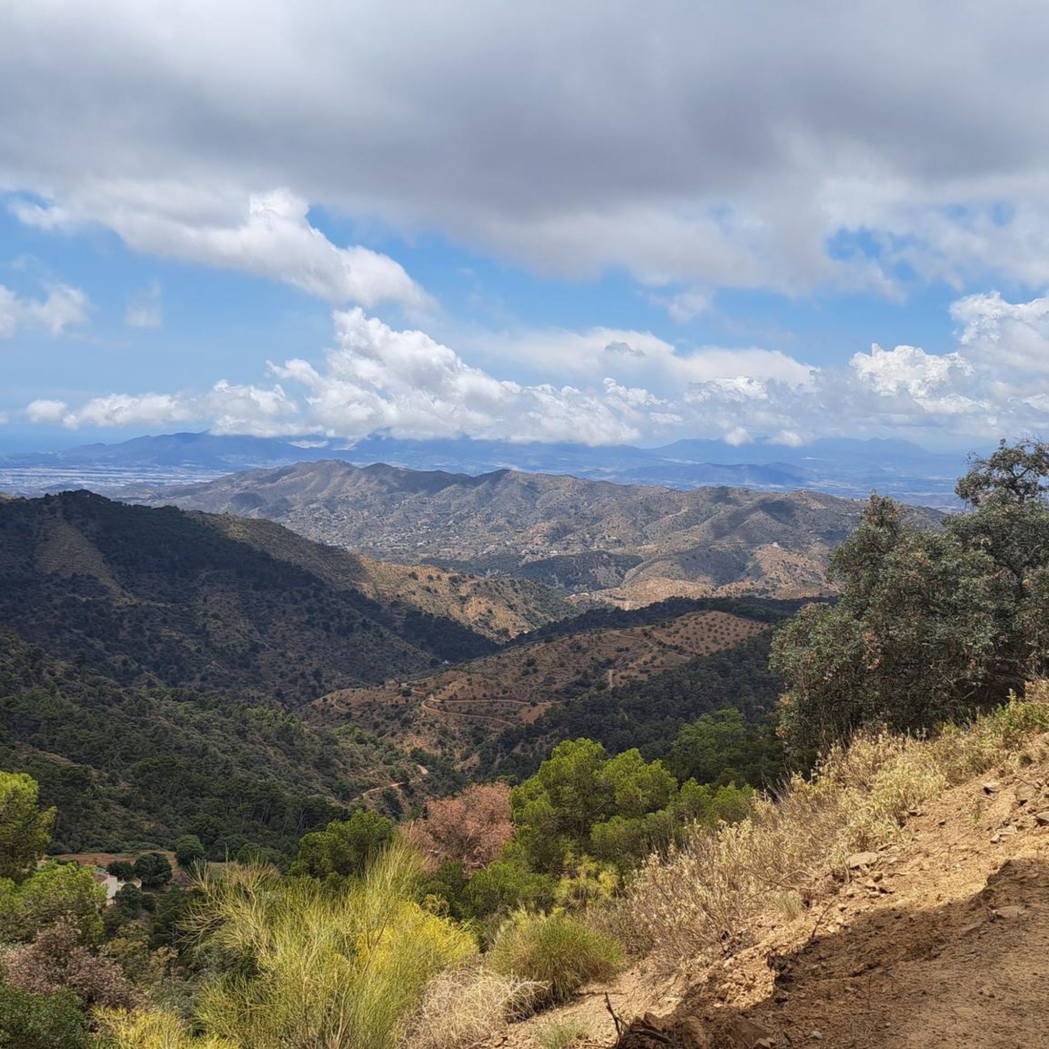
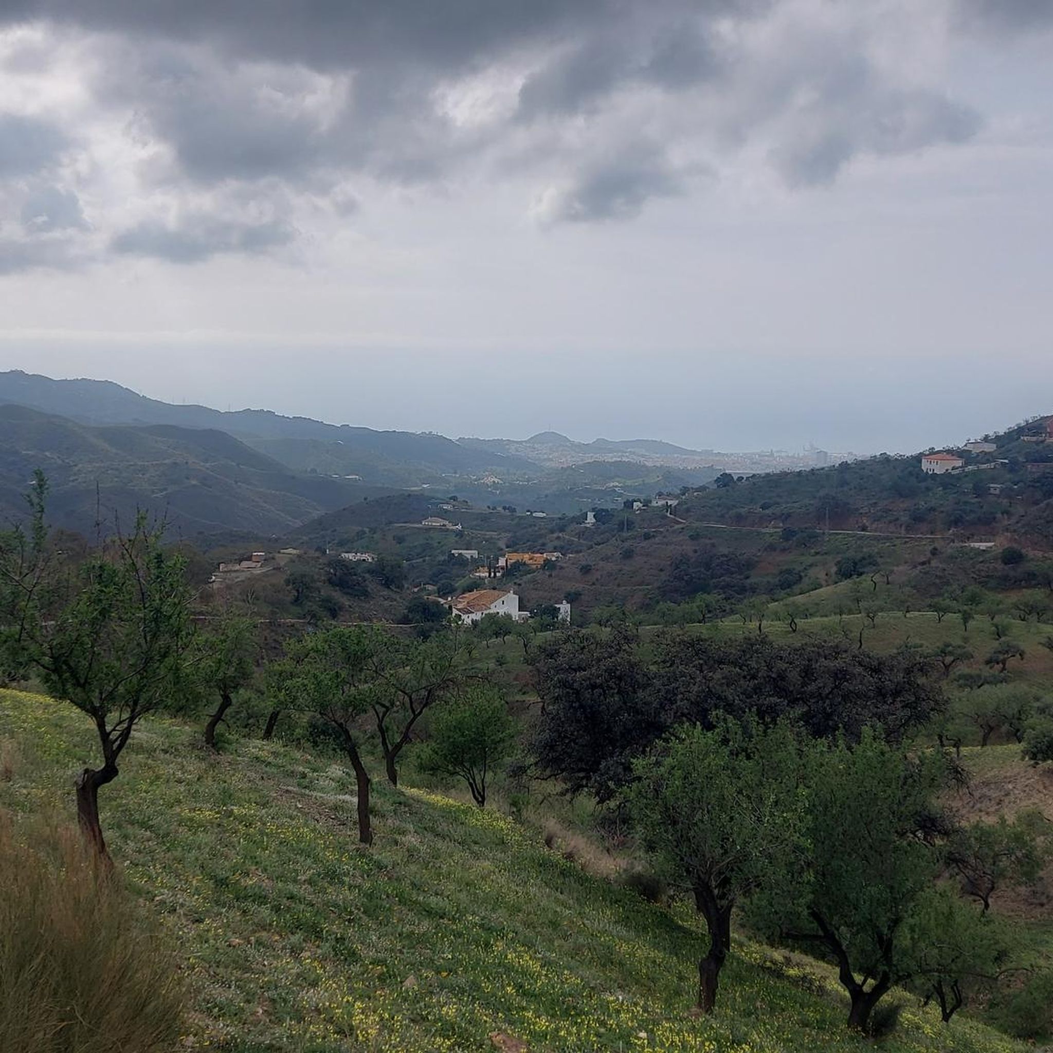
Hiking around Río Guadalmedina offers a diverse landscape characterized by the river's course, surrounding hills, and the Montes de Málaga Natural Park. The region features a mix of forested areas, open terrain, and historical structures like aqueducts. Trails often provide viewpoints overlooking the reservoir and the city of Málaga. The elevation changes are varied, ranging from gentle riverside paths to more challenging ascents into the hills.
Best hiking trails around Río Guadalmedina
- The most popular hiking route is Ciudad Jardín…
Last updated: July 5, 2026
3.7
(75)
236
hikers
4.77km
01:20
90m
90m
Easy hike. Great for any fitness level. Easily-accessible paths. Suitable for all skill levels.
4.6
(55)
315
hikers
4.01km
01:06
60m
60m
Easy hike. Great for any fitness level. Easily-accessible paths. Suitable for all skill levels.

Sign up for free
3.8
(70)
218
hikers
Moderate hike. Good fitness required. Mostly accessible paths. Sure-footedness required.
4.6
(24)
118
hikers
Moderate hike. Good fitness required. Easily-accessible paths. Suitable for all skill levels.
4.1
(8)
25
hikers
4.77km
01:25
150m
150m
Easy hike. Great for any fitness level. Easily-accessible paths. Suitable for all skill levels.
5.0
(1)
10
hikers
19.9km
06:35
830m
830m
Hard hike. Very good fitness required. Mostly accessible paths. Sure-footedness required.
4.4
(5)
16
hikers
10.4km
02:52
190m
190m
Moderate hike. Good fitness required. Easily-accessible paths. Suitable for all skill levels.
5.0
(1)
20
hikers
3.57km
01:00
70m
70m
Easy hike. Great for any fitness level. Easily-accessible paths. Suitable for all skill levels.
4.5
(4)
19
hikers
2.50km
00:41
30m
30m
Easy hike. Great for any fitness level. Easily-accessible paths. Suitable for all skill levels.
4.0
(2)
19
hikers
4.59km
01:23
150m
150m
Easy hike. Great for any fitness level. Easily-accessible paths. Suitable for all skill levels.
Get access to more routes and recommendations from other explorers.
Sign up for free
Already have an account?
Our route recommendations are based on thousands of hikes, rides, and runs completed by other people on komoot.
Start today with a free account
Your next adventure awaits.
Login or Signup

Tips from the Community

Very easy to reach. Just park down by the road and walk up a short distance. You also have a great view from there.
0
0

A beautiful natural park very close to Malaga that's well worth exploring by mountain bike or gravel bike. Be aware that once inside there are many paths and it's easy to get lost.
0
0

A beautiful spot overlooking Malaga. You can enjoy the view from here.
1
0
Picturesque perhaps, but also a bit more challenging in places. You shouldn't be afraid of heights!
0
0
The circular walk offers several beautiful viewpoints, both over the lake and the city of Málaga.
0
0

The monumental bulls, once used as billboards along Spain's roads, lost their lettering after legal restrictions on advertising, remaining as simple black silhouettes. The Casabermeja bull is among the oldest examples in southern Spain and is now a protected monument, considered part of Spain's cultural and natural heritage. In December 1997, the Spanish Supreme Court ruled that the Osborne bulls should be retained. The court reasoned that the bulls had become more than just advertising objects and were now integrated into the landscape, thus establishing an "aesthetic or cultural interest" in their preservation.
2
0
The Osborne Bull in Casabermeja is one of the famous black bull silhouettes that originally appeared as an advertising figure for the Spanish brandy producer Osborne. Today, it is considered a cultural landmark of Andalusia and a symbol of Spanish identity. Situated on a hill above Casabermeja, the bull is visible from afar and dominates the landscape. Originally intended as billboards, the figures were stripped of all advertising following legal changes and remained purely as silhouettes. The Casabermeja Bull is one of the oldest examples in southern Spain and is now a protected monument, as it is considered part of Spain's cultural heritage.
2
0
Frequently Asked Questions
How many hiking trails are available around Río Guadalmedina?
There are over 260 hiking trails around Río Guadalmedina, offering a wide range of options for all skill levels. You'll find everything from easy riverside paths to more challenging ascents into the Montes de Málaga Natural Park.
Are there any easy or short walks suitable for beginners in the Río Guadalmedina area?
Yes, the region offers many easy and short walks. For a gentle introduction, consider the Forest Route, an easy 2.5-mile (4.0 km) path through wooded areas. Another accessible option is the Ciudad Jardín - Puerto de la Torre Trail (PR-A 114), which is 3.0 miles (4.8 km) and connects urban areas with natural surroundings.
What kind of natural attractions or landmarks can I expect to see along the trails?
Hiking around Río Guadalmedina often features views of the river's course, surrounding hills, and the Montes de Málaga Natural Park. You can also discover historical structures like the San Telmo Aqueduct, which is part of the San Telmo Aqueduct – Lagar de Picapedrero loop. Many routes also offer viewpoints overlooking the reservoir and the city of Málaga, such as the Viewpoint Over the Reservoir – Colorful Suspension Bridge loop.
Are there any circular walks available in the Río Guadalmedina region?
Yes, there are several excellent circular walks. A popular choice is the Salto Picapedreros – circular by El Leoncillo - Montes de Málaga Natural Park, a 4.5-mile (7.3 km) trail. Another option is the Colorful Suspension Bridge – View of Málaga and the Coast loop, offering scenic vistas.
What do other hikers enjoy most about the trails around Río Guadalmedina?
The area is highly rated by the komoot community, with an average score of 4.5 stars from over 1800 reviews. Hikers often praise the diverse landscape, which includes river valleys, forested hills, and historical aqueducts, as well as the variety of routes suitable for different fitness levels.
Are the trails around Río Guadalmedina suitable for families with children?
Many trails in the Río Guadalmedina area are suitable for families, especially the easier and shorter routes. Paths like the Forest Route provide a tranquil experience through wooded areas that can be enjoyable for all ages. Always check the route's difficulty and length to ensure it matches your family's capabilities.
When is the best time of year to go hiking in Río Guadalmedina?
The Río Guadalmedina region is generally pleasant for hiking during the cooler months, from autumn through spring (October to May). Summers can be very hot, so if you hike then, it's best to go early in the morning or late in the afternoon and carry plenty of water. The natural park offers shade in some areas, making it more comfortable.
Are there any trails that offer good viewpoints of Málaga or the surrounding area?
Absolutely. Several routes provide stunning panoramic views. The San Telmo Aqueduct – View of Málaga from Leoncillo loop is specifically designed to offer vistas of the city. Additionally, the Colorful Suspension Bridge – View of Málaga and the Coast loop provides excellent opportunities to see Málaga and its coastline.
What is the general difficulty level of hikes in this region?
The Río Guadalmedina area offers a good mix of difficulties. There are 136 easy routes, 112 moderate routes, and 21 difficult routes. This means you can find everything from gentle riverside strolls to more strenuous trails with significant elevation changes, particularly within the Montes de Málaga Natural Park.
Is public transport available to access the hiking trails?
Given its proximity to Málaga, some trailheads, especially those closer to urban areas like the Ciudad Jardín - Puerto de la Torre Trail, may be accessible by local bus services from Málaga. For routes deeper into the Montes de Málaga Natural Park, personal transport is often more convenient.
Are there any less crowded hiking options for a more peaceful experience?
While popular routes can see more foot traffic, exploring some of the longer or more challenging trails, particularly on weekdays or outside of peak season, can offer a more solitary experience. Routes deeper within the Montes de Málaga Natural Park, such as the Lagar de Picapedrero – San Telmo Aqueduct loop, might provide more solitude due to their length and difficulty.
Most popular routes around Río Guadalmedina

Get inspired with the komoot mobile app


Explore more
Browse the best Hikes in other regions.
